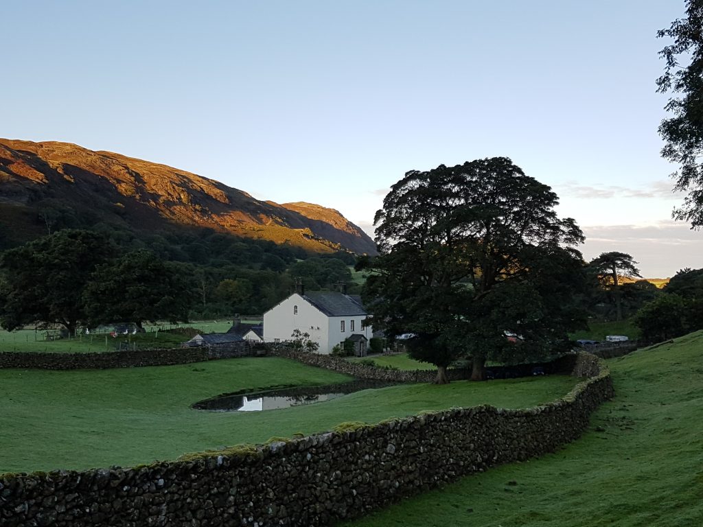
Wha House Farm at about 6.55am as we start our walk with the sun just reaching the tops of the fells.
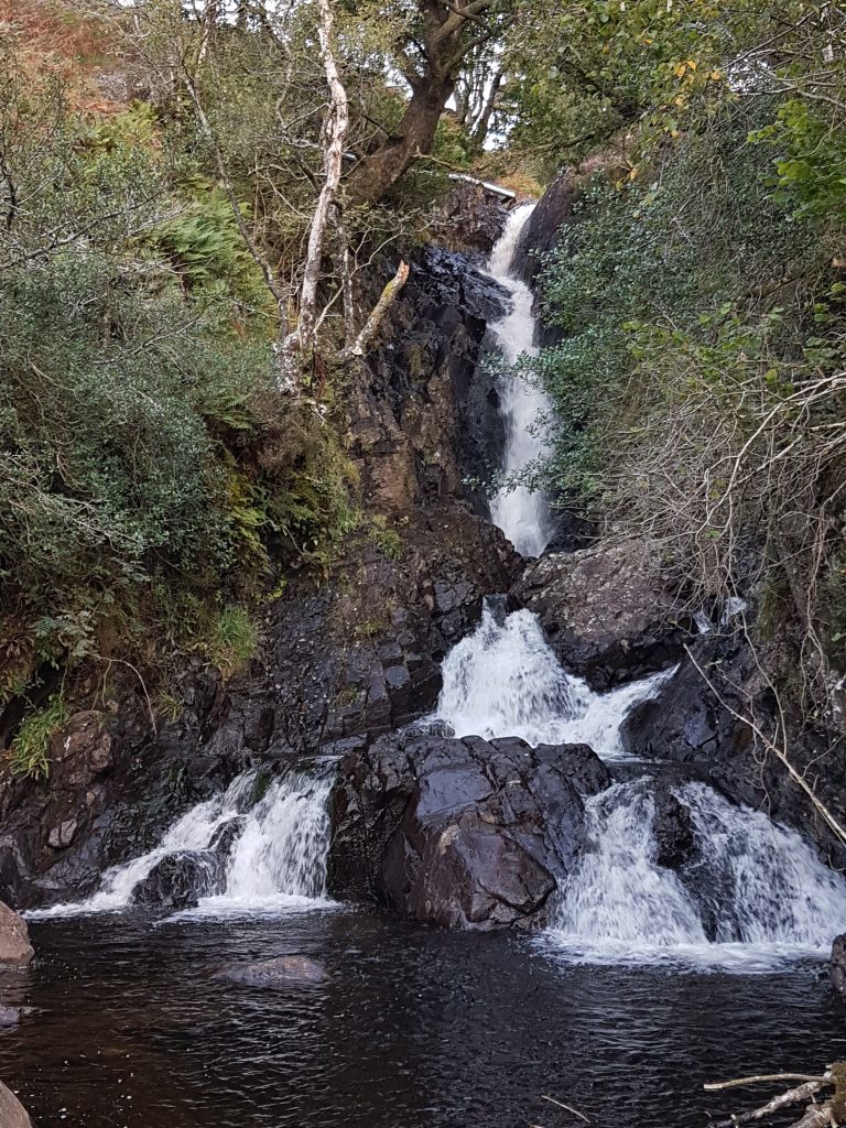
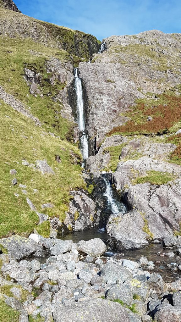
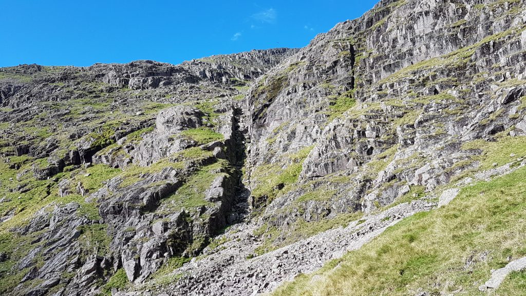
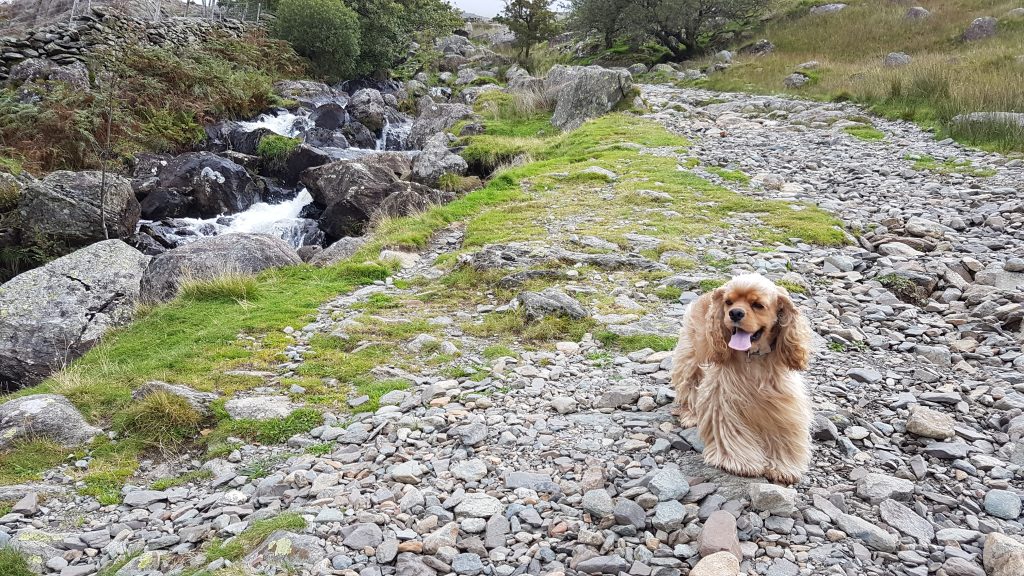
Scale Gill falls
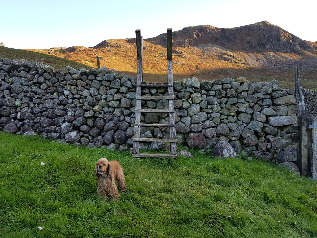
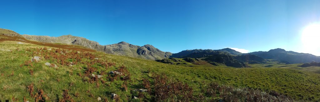
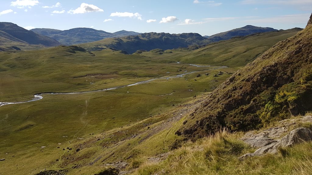
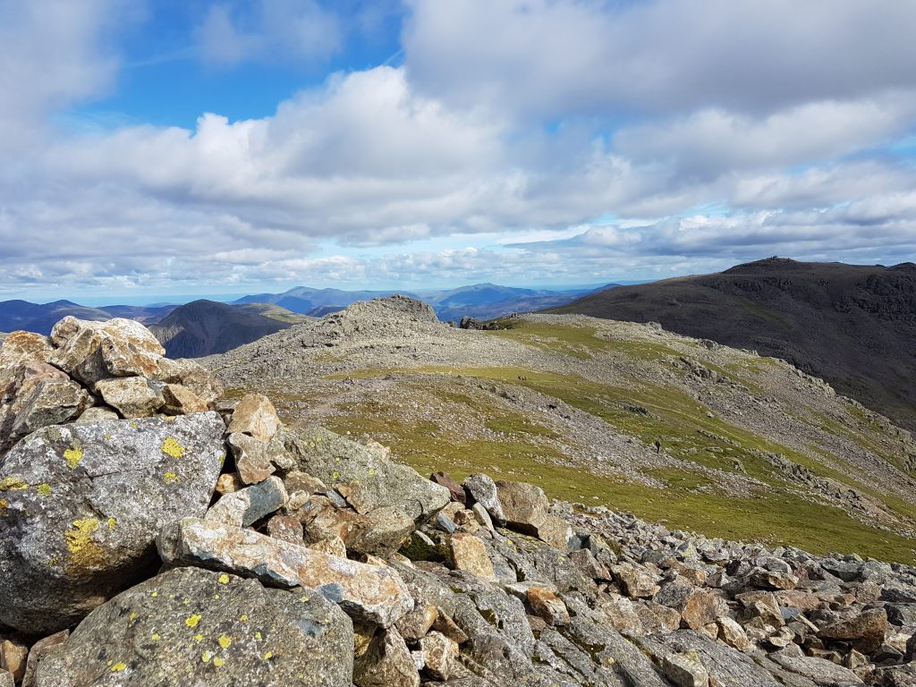
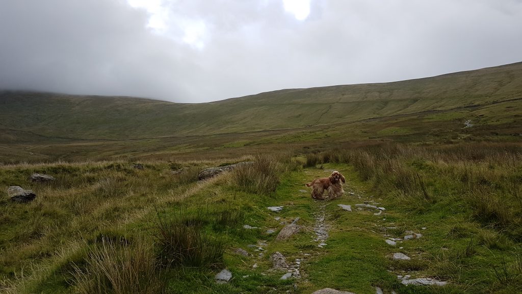
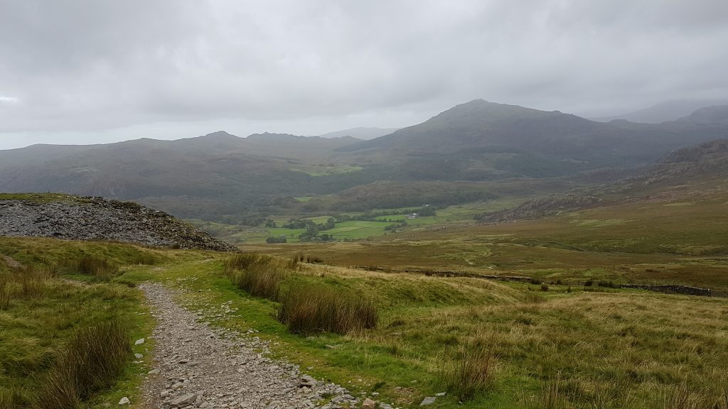
Brindley shows the way.The views ahead start to open up – after climbing away from Eskdale proper, we’ve walked along a broad shelf a little to the west of the main valley, but now return to it. Esk Hause is centre of the picture, with the Scafell massif to the left, with Esk Pike, Bowfell and Crinkle Crags to the right.Eskdale opens in front of usCam Spout is centre-left, beyond which lies our route upwards
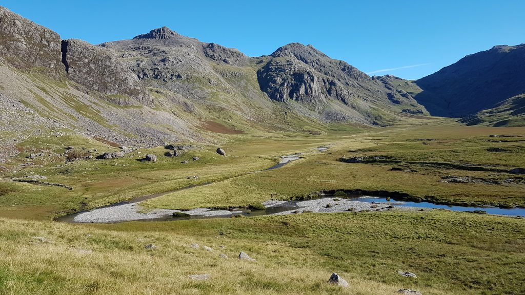
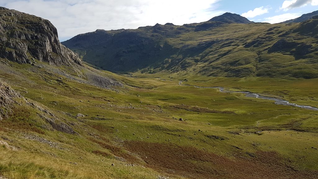
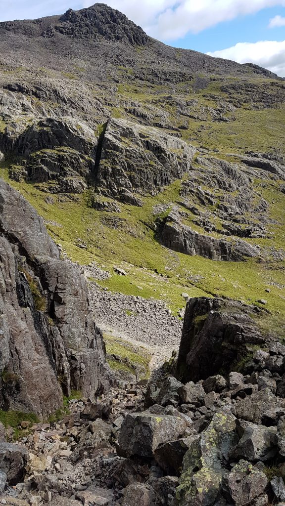
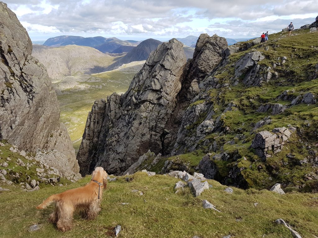
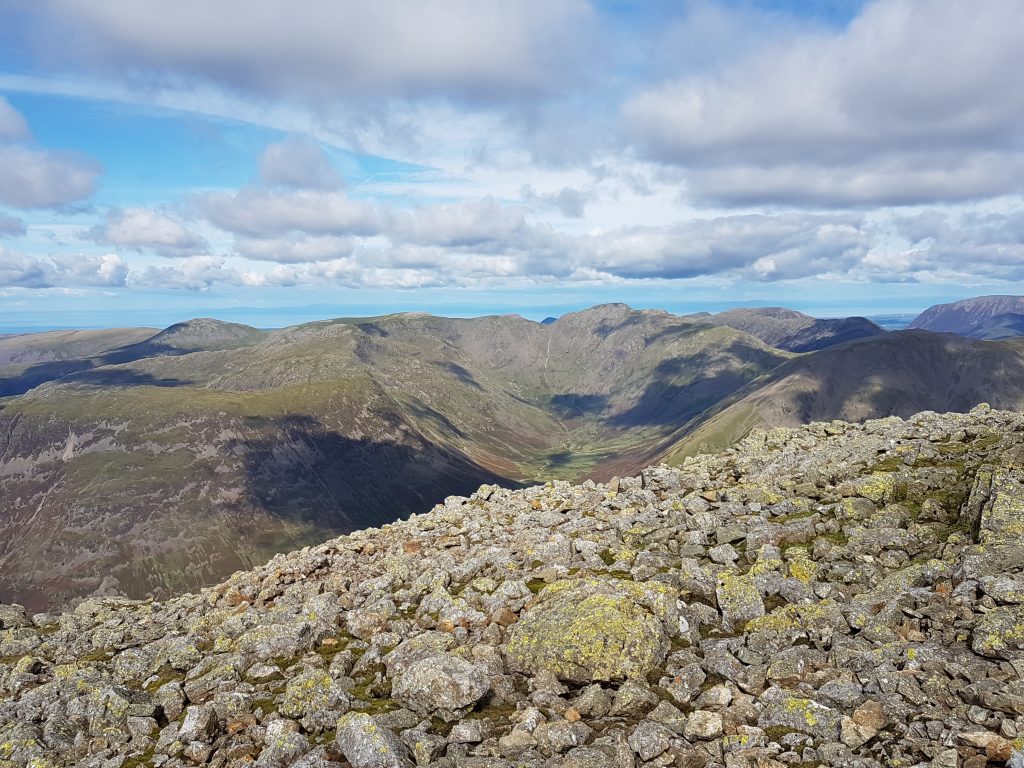
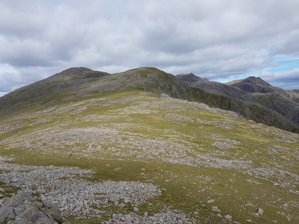
Some of the waterfalls of How BeckGaining height alongside How Beck, a look back down Eskdale (Caw on the horizon just left of centre, Harter Fell to the right)From the same spot, looking up EskdaleAfter the steep ascent along the waterfalls, the gradient eases for a while. The col on the right is Mickledore, and our route is to the col in the centre of picture, up Foxes Rake. Heading towards Mickledore, we are passed by two climbers with ropeWe then turn to the left and cross the scree to Foxes Rake. It’s about 100m of ascent in just 140m travelled.
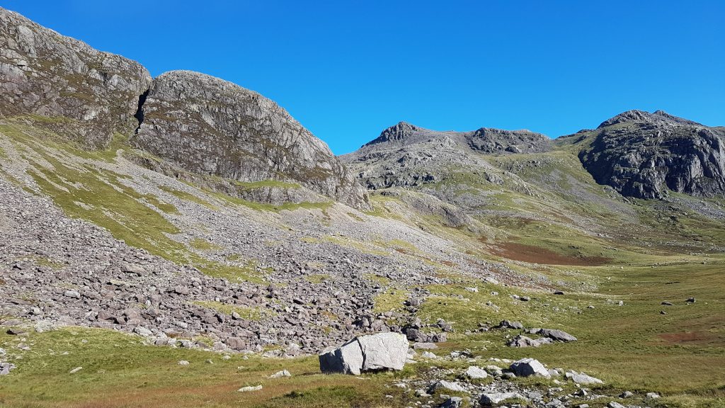
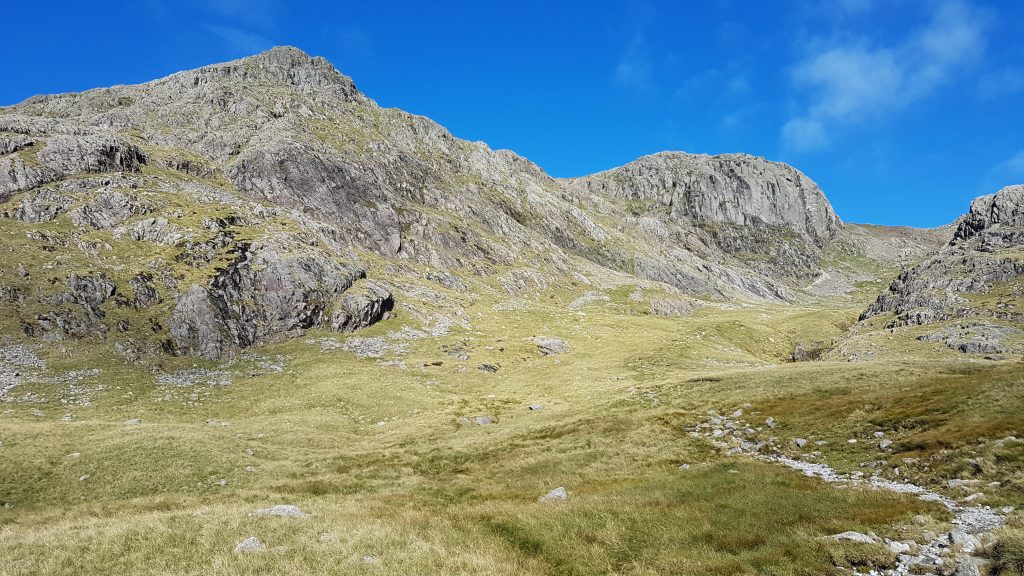
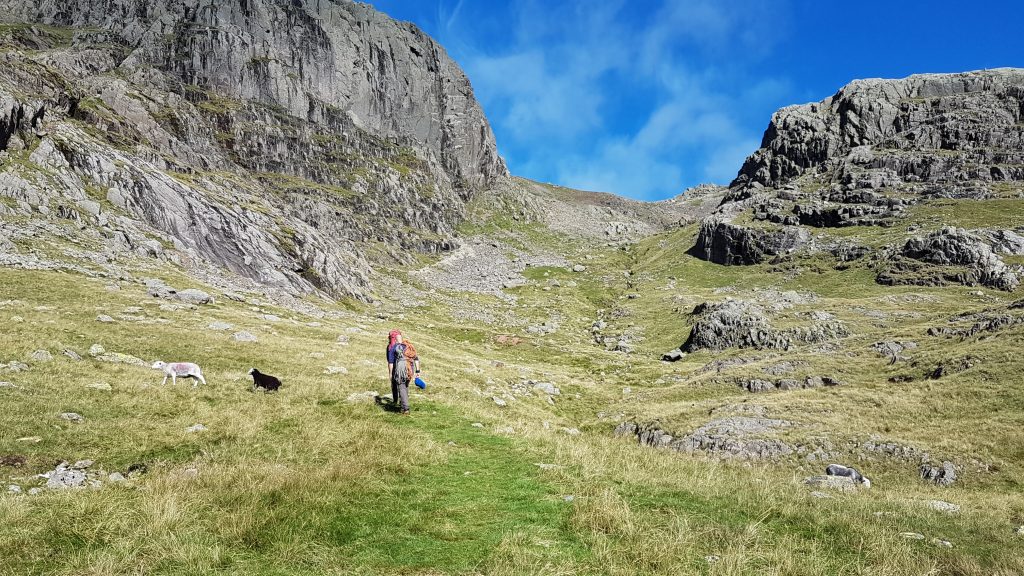
Looking down Foxes Rake from part way up. It was a lot tougher than I remembered from 25 years ago and quite a challenge on some big wet boulders for Brindley.
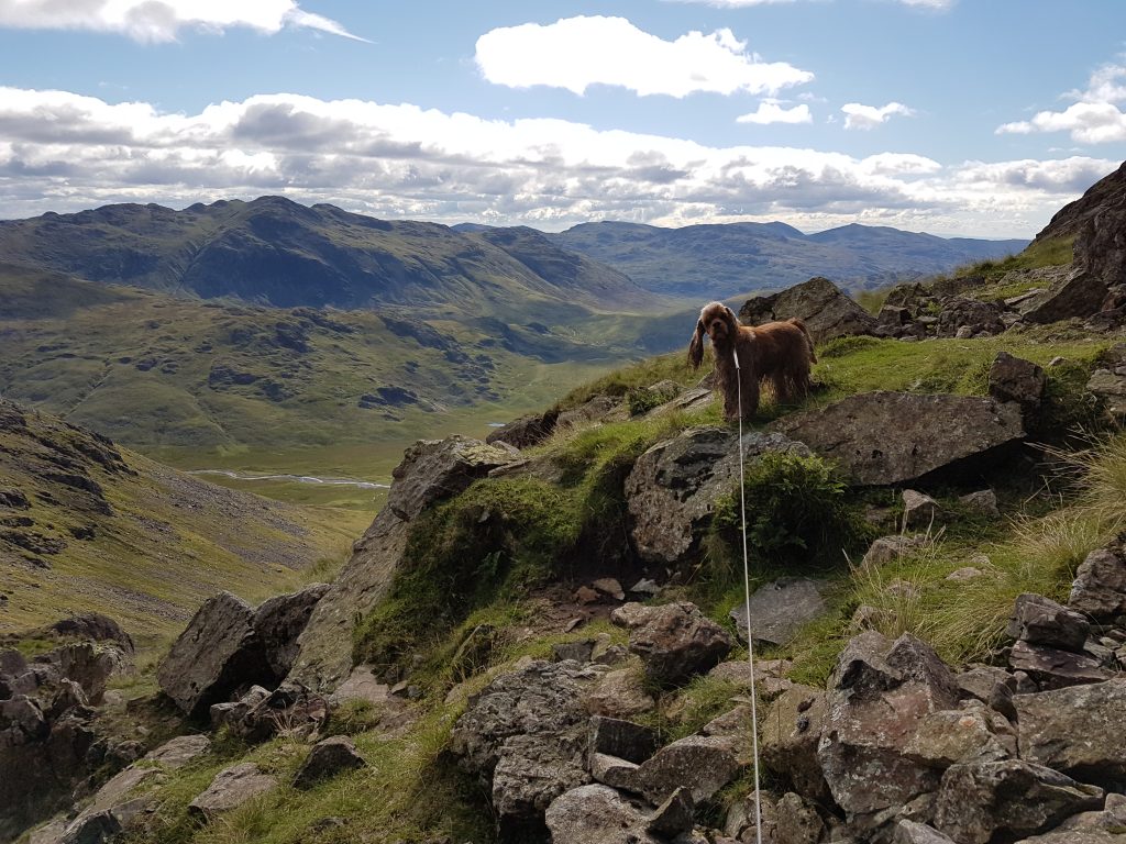
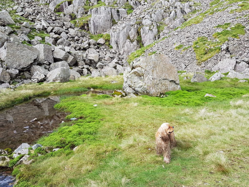
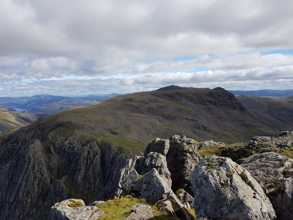
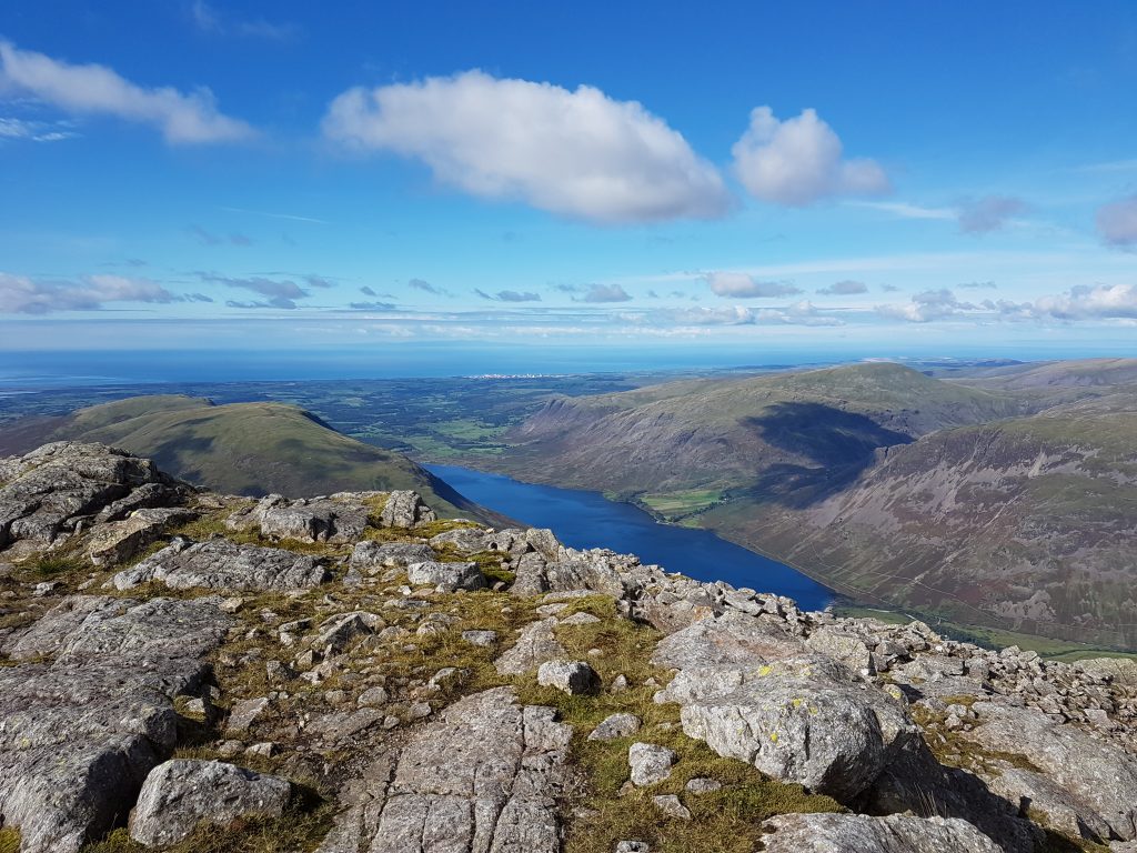
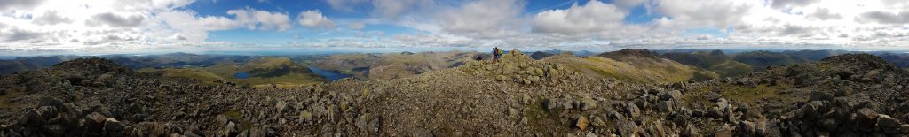
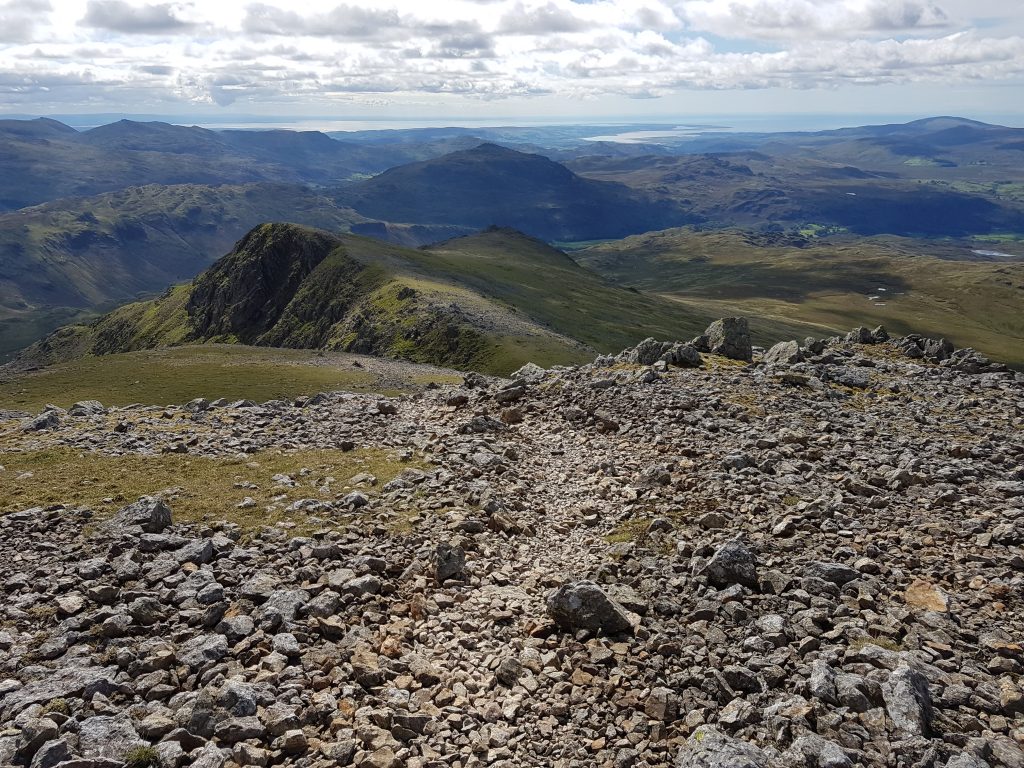
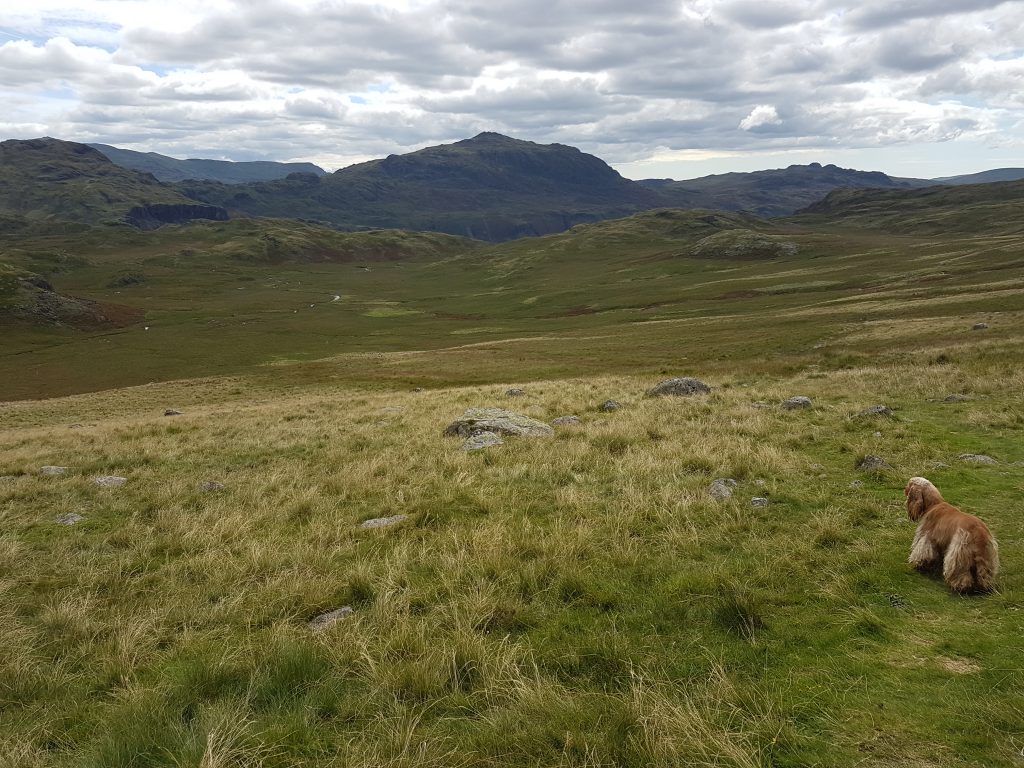
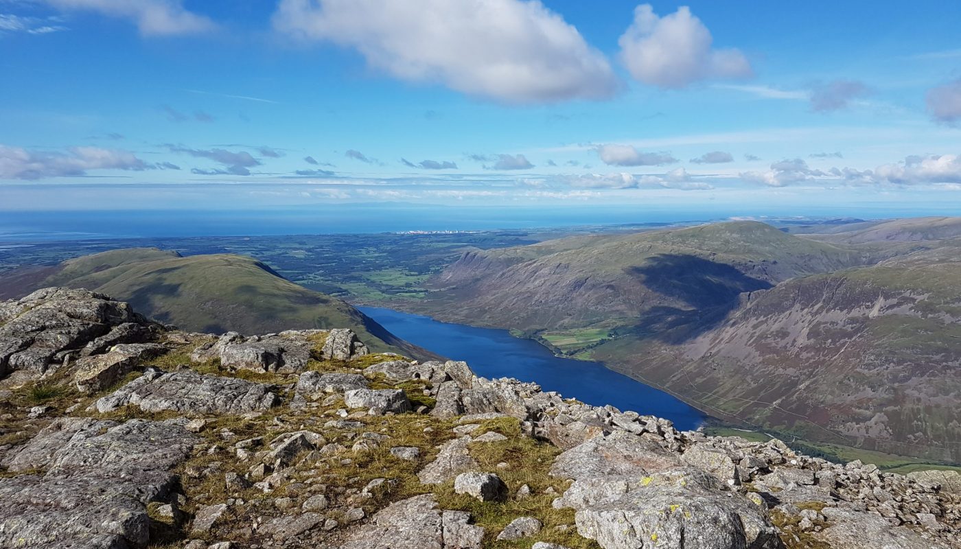
Brindley pleased to be past the tough bit.The diminutive Foxes TarnBrindley looks into the pit from which scramblers who’ve taken the Lord’s Rake route emergeOn Symonds Knott, a new summit for me, looking to Scafell PikeLooking down Wastwater. There were views of England, Scotland, Mann, Ireland (just) and Wales.A 360-degree panoramaOn Sca Fell looking to Symonds Knott, with Scafell Pike in shadow behind to the rightLooking up Mosedale (beyond Wasdale Head), with the hills of Scotland beyond in the far distance.Looking south along our route of descent, over Long Green and Slight Side. In the distance, the Duddon estuary, Walney Island, and in the far distance, not coming out well in the photo, the north coast of Wales across to Anglesey A look back at the head of Eskdale, with Esk Pike and BowfellFrom Slight Side, a look over Long Green (centre) to Scafell (left), Scafell Pike (right of centre), Broad Crag (just peeking into view behind Scafell Pike), and Ill Crag (right).The scenery turns softer as we make our way gradually down, heading for the car somewhere below Harter Fell.
Later on Monday, I decided to go out again, and settled on a trip to High Dam – somewhere I’d seen on the map but never visited. After he was so tired yesterday and six miles this morning, I decided to leave Brindley at the house – he would probably have been fine, but I didn’t want to risk overdoing it.
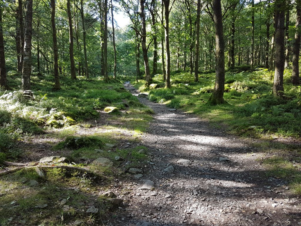
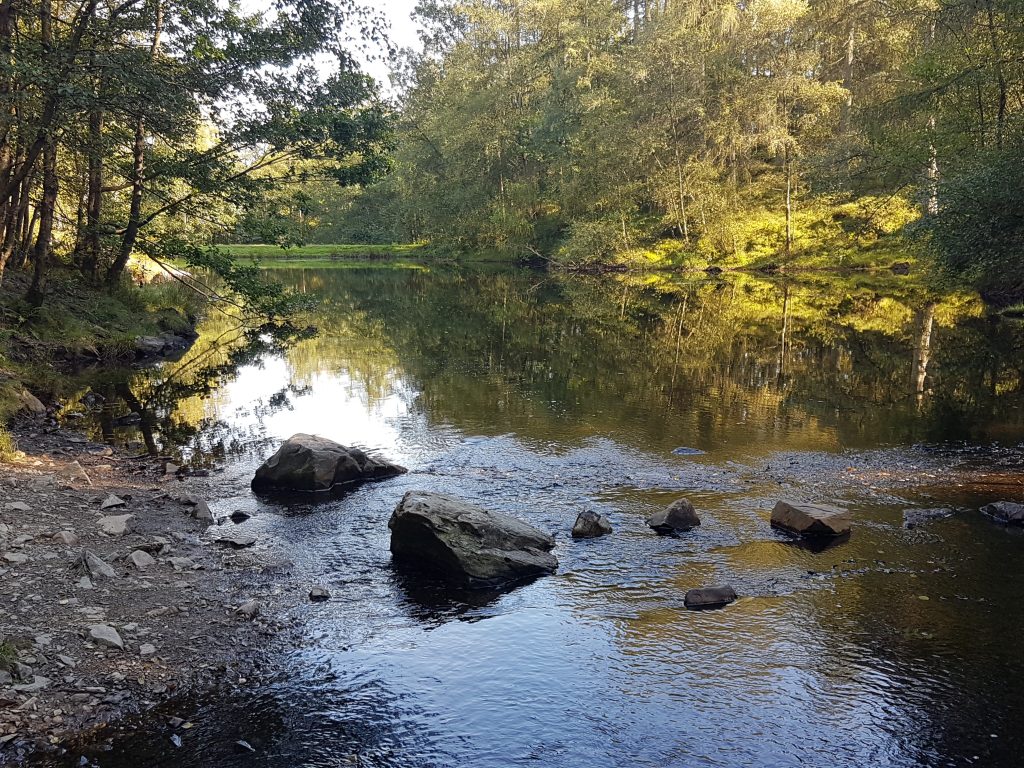
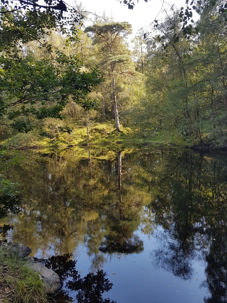
After four of us had independently failed to get the car park ticket machine to work, I parked for free and then started the attractive climb up through the woods.The artificially dammed tarn is delightful, with a good path right the way round
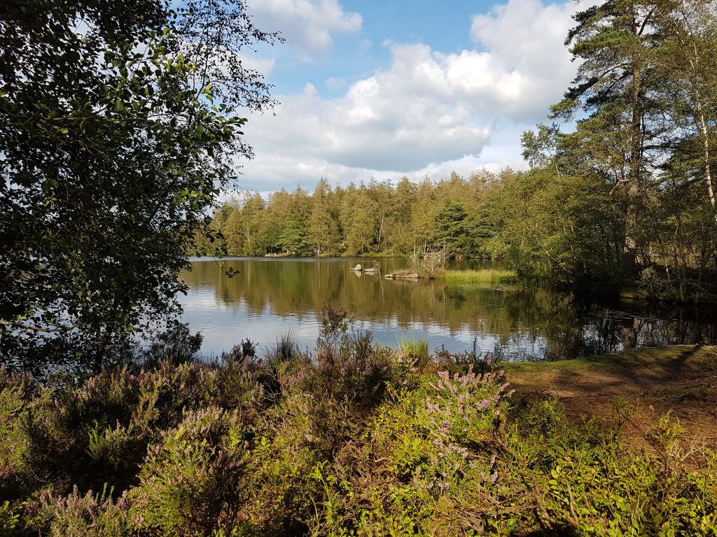
Below the main tarn of High Dam is this much smaller body of water
Tuesday – Coniston
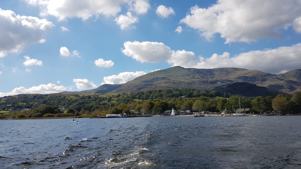
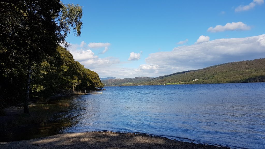
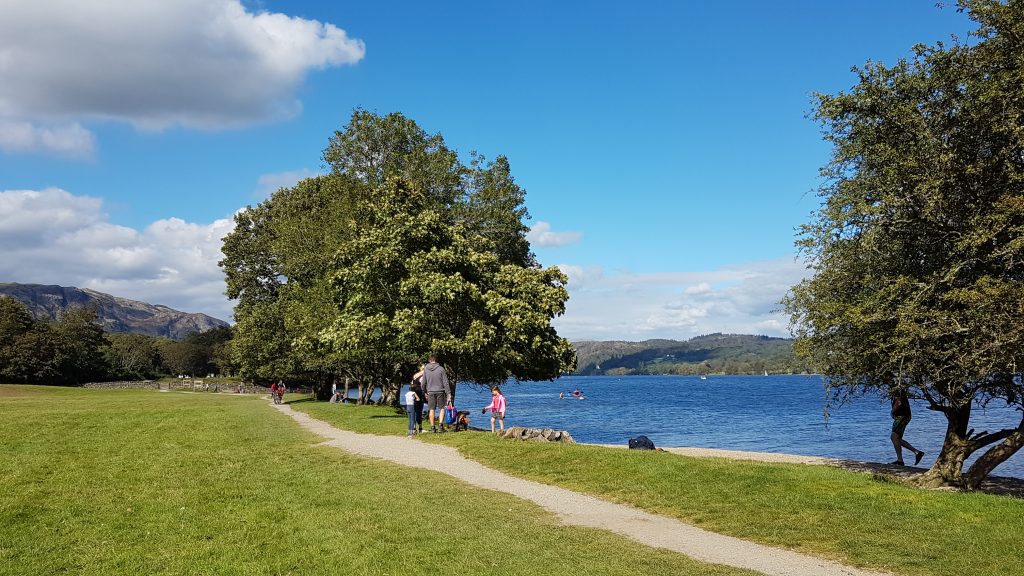
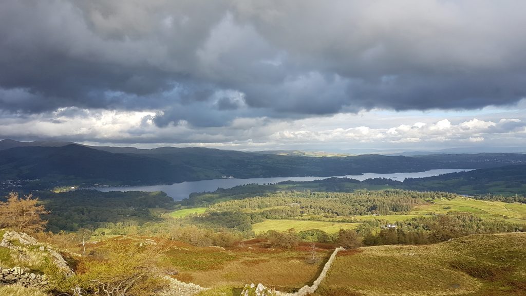
One of the advantages of the huge transition to homeworking that this year has seen is that “home” can be anywhere, and that was part of the plan for this week. Yesterday was a public holiday, so today I worked during the morning including a noon meeting, but took the afternoon as holiday. With my thigh muscles suffering more from DOMS than yesterday, I wanted a nice walk, but one that wasn’t too long and was fairly flat. I decided on the spur of the moment to go to Coniston, and take the boat south to Torver jetty, from where we could walk back to Coniston.
The car park was very busy and it took me so long to park that I’d missed my planned 2.10pm sailing, so I hung around for the 3.00pm boat, which in some ways was better as it briefly headed north first. I chatted with a couple who admired Brindley, and with the man from the Coniston Launch company. After a while, I wandered down the jetty ready to get on the boat when they’d finished cleaning it, and this had the unplanned benefit that I got one of the two outside spots, the space being much constrained compared to previous years to comply with the distancing requirements.
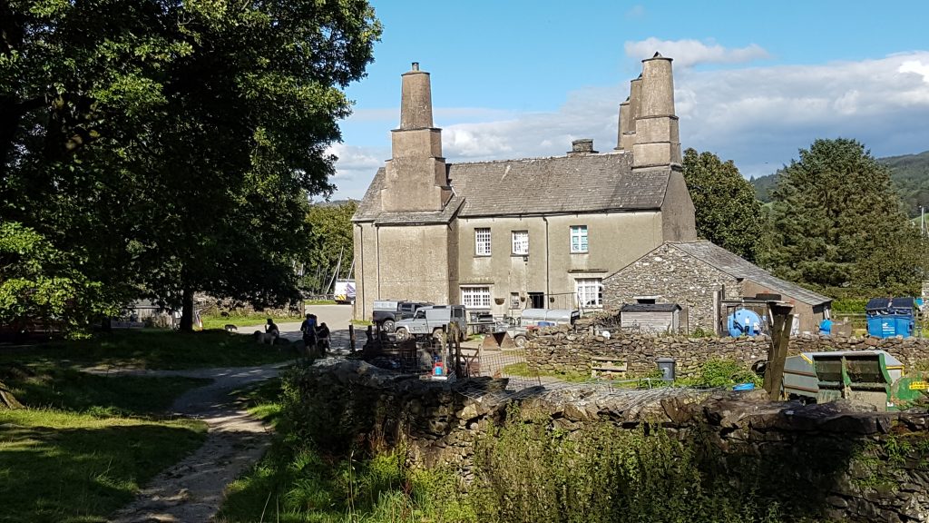
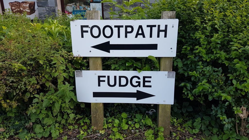
Heading north up the lake for a short while, before turning south to Torver Jetty.The boat that has brought me leaves to return northwards.Looking up the lake from the jettyThe walk is almost all on fairly level and surfaced paths, with a good few people about on this pleasant sunny afternoon.Coniston Hall dates mostly from the late 16th Century, though part of it may be older. It is owned by the National Trust but much is disused.Continuing our way back towards ConistonHmm, what to do. We continued along the footpath back to the car, then drove back here to pick up some fudge to take back to Suffolk.
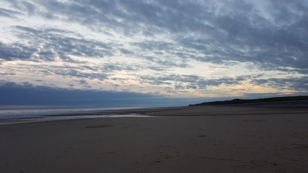
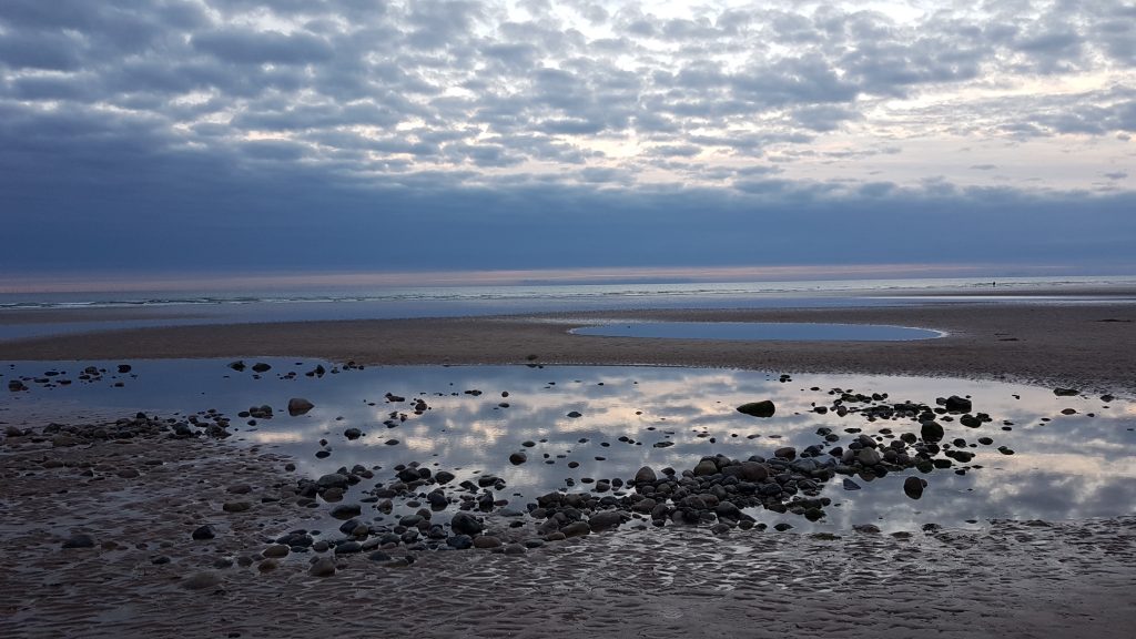
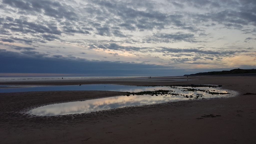
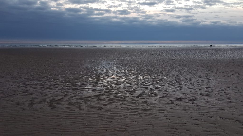
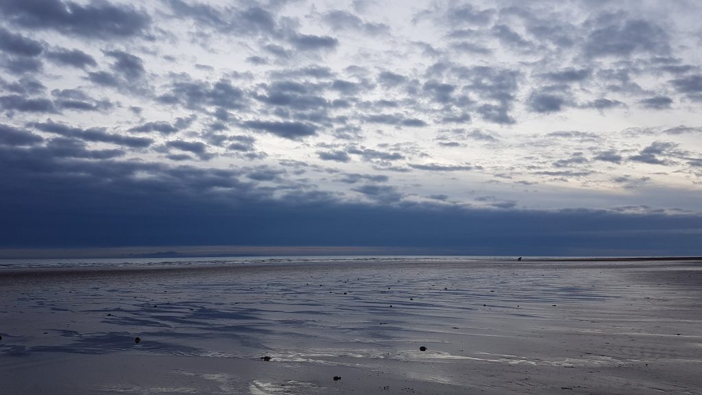
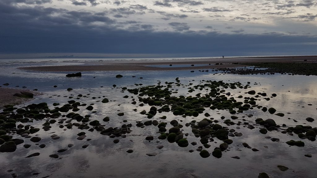
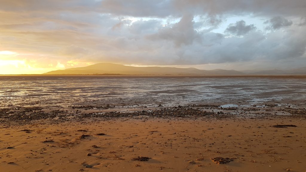
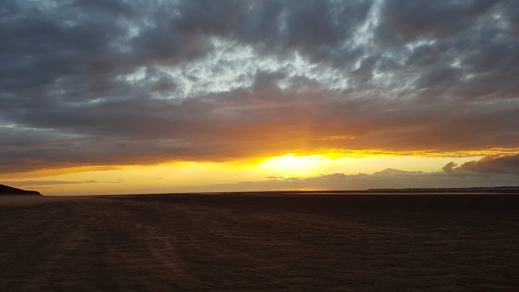
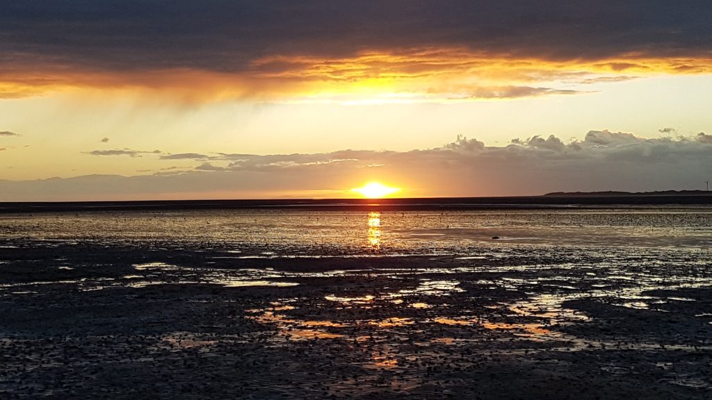
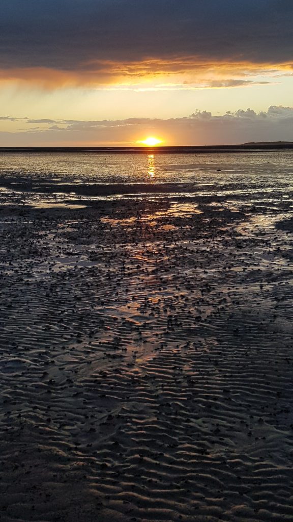
Tuesday – Silecroft
An evening trip to the beach at Silecroft, enjoying the light of the skies.
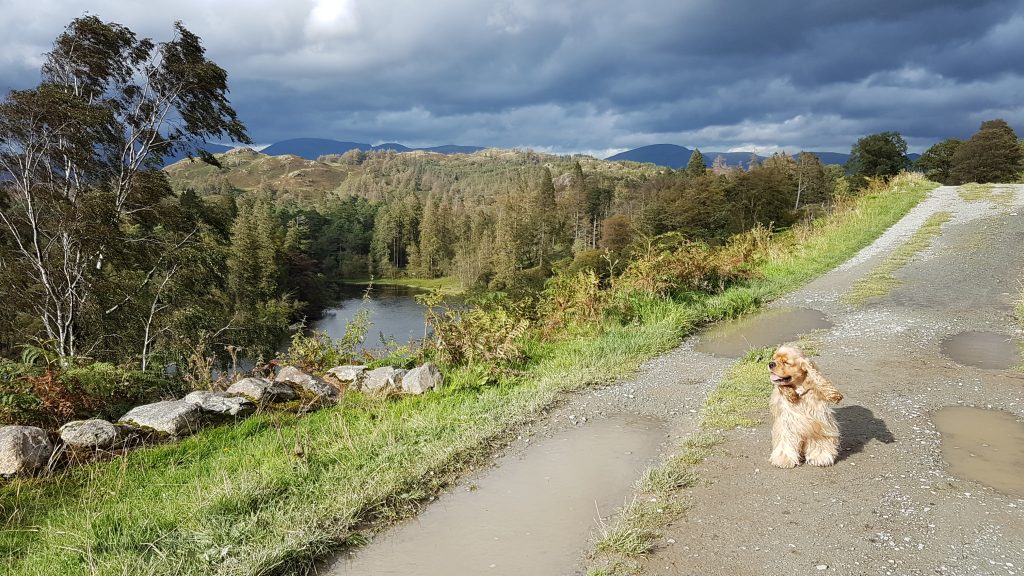
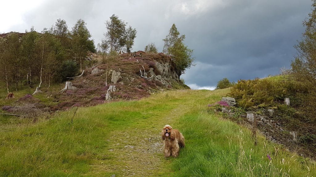
Thursday – Black Crag
Wednesday it rained non-stop and I was able to do a full day’s work; Thursday I worked most of the day, but had an early finish when a 4pm meeting was postponed to tomorrow, so we made a hurried departure to Tarn Hows for a walk to the summit of Black Crag.
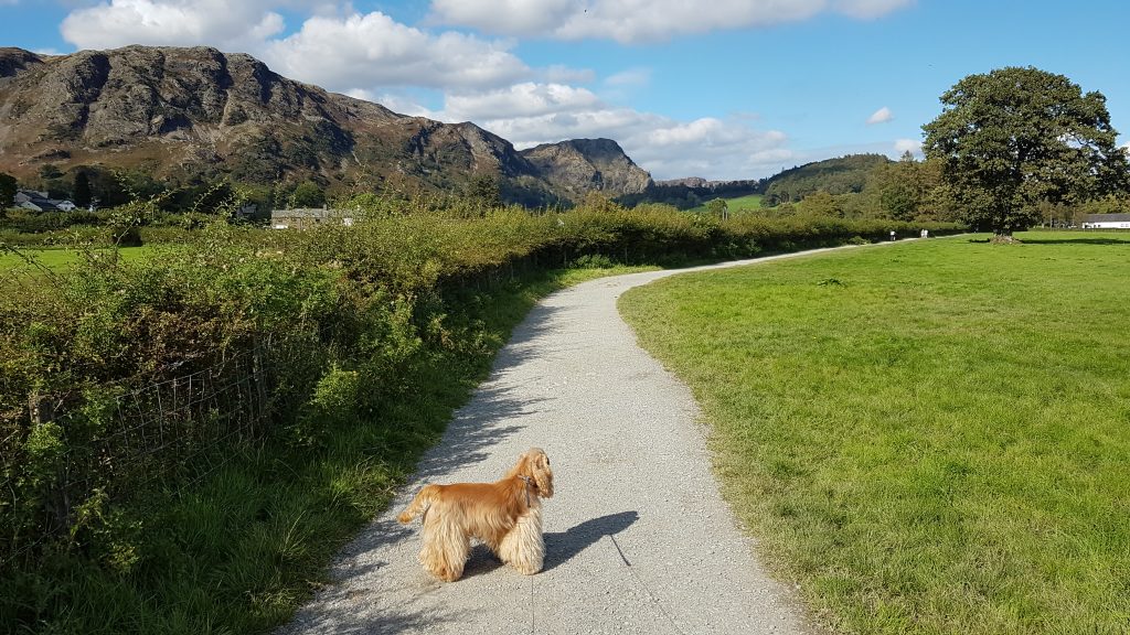
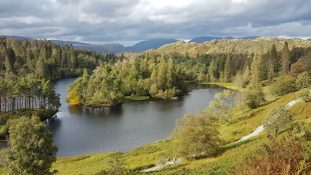
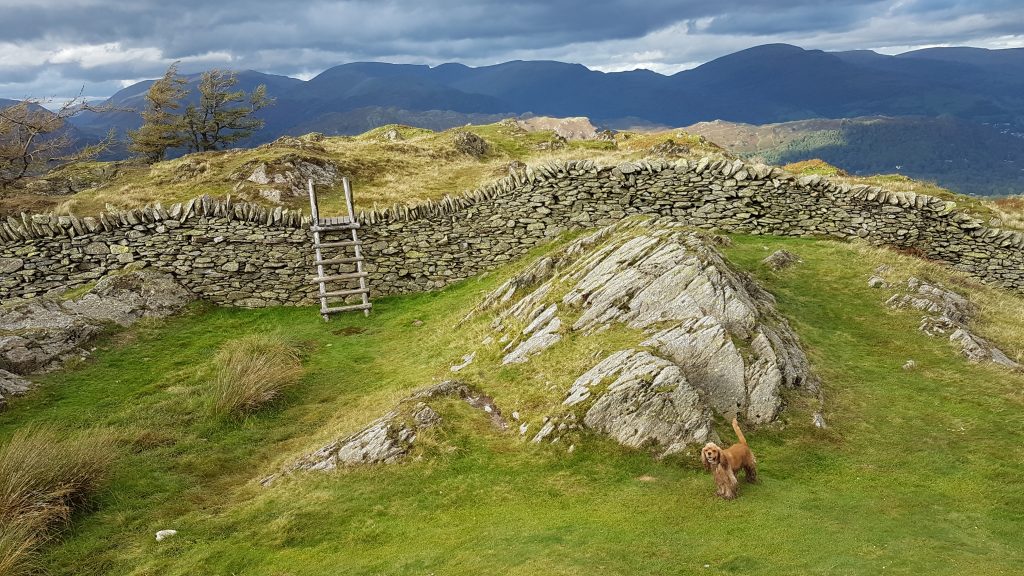
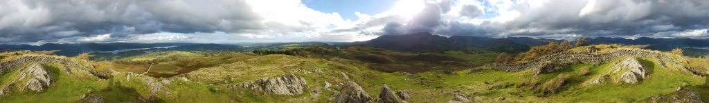
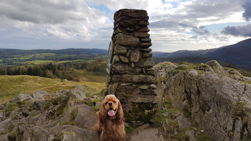
From the upper little car park, we head above the water of Tarn HowsA less familiar route towards the summitAfter joining the more well-used route (though we saw no-one at all), a look towards the Langdale fells before turning to the rightThe summit in sightThe view north from the summitWest towards the Langdale fellsEast towards WindermereLooking south over the water of Tarn Hows and then on to Coniston Water, with the Coniston fells to the rightA 360° panorama from the summitBrindley on top of this little patch of the world
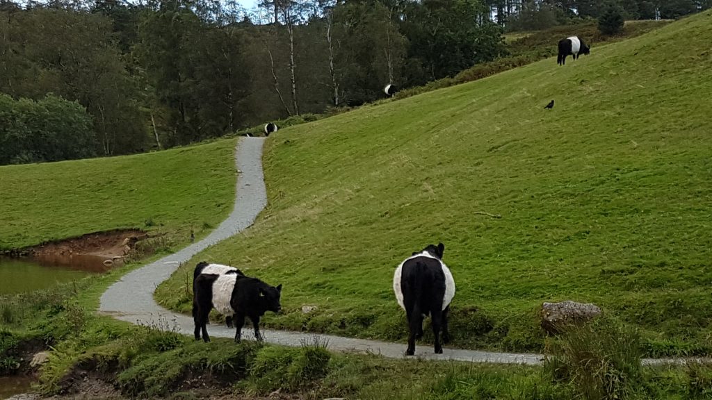
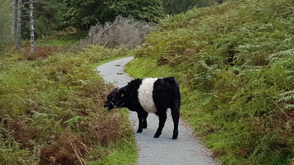
Some Belted Galloways caused us to take a cautionary diversion as we neared the car
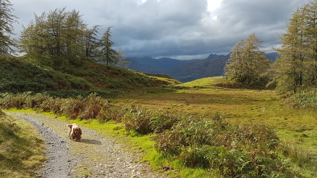
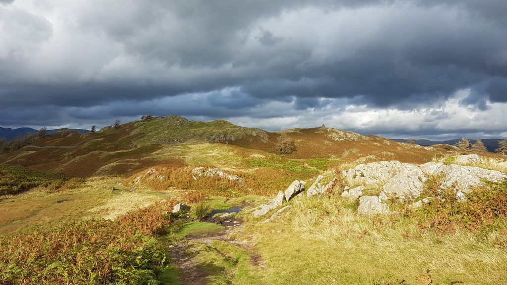
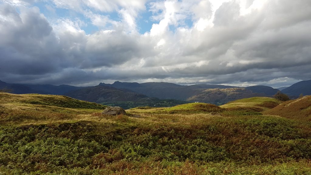
Friday – Walna Scar
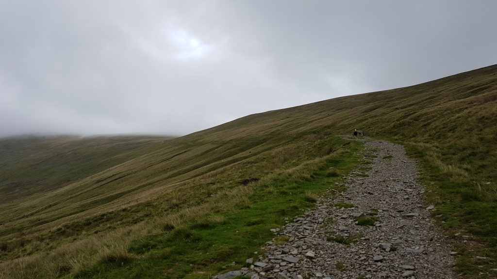
The forecast for Friday was for wind and showers, so I settled on a short walk. We drove to just beyond Seathwaite and climbed the Walna Scar Road from the end of the tarmac, to the summit of Walna Scar itself, and retraced our steps.
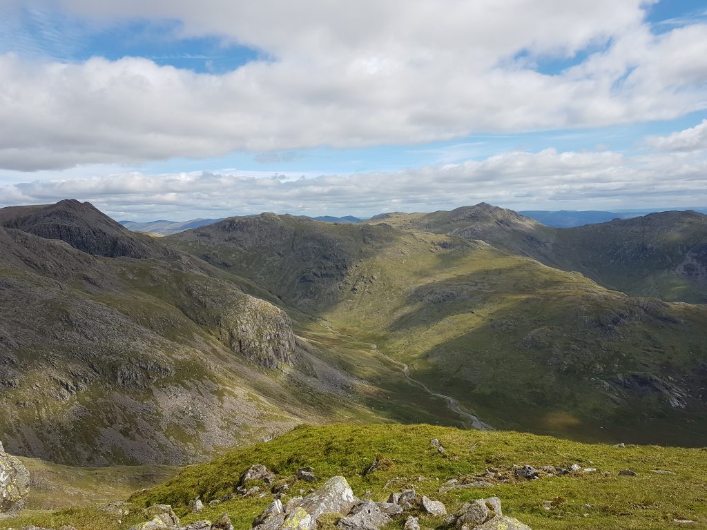
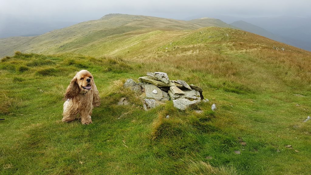
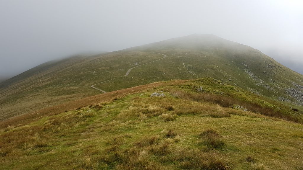
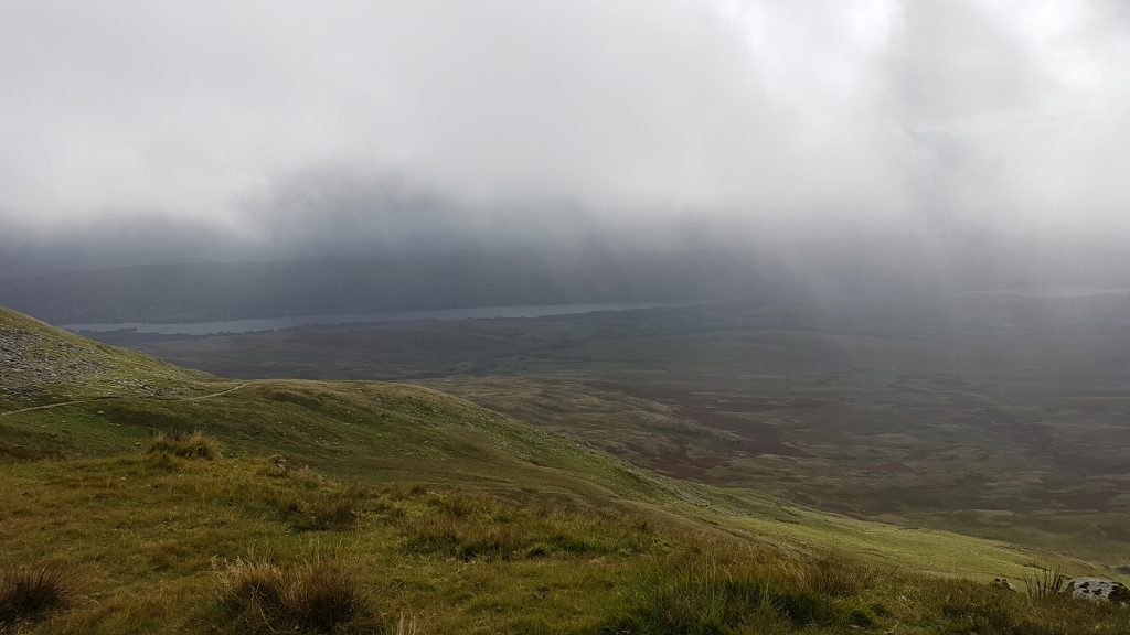
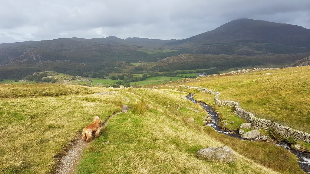
A cheerful Brindley at the start of our walkAscending the Walna Scar Road – the pass over to Coniston is centre-left, with the summit of Walna Scar being to the right of the pass.Looking back as we continue our ascentClimbing towards the passBrindley on top of Walna Scar, with the photographer looking south – its summit at 2,035 feet (620 m) is only slightly higher than the pass, and it may be the easiest of all mountain summits (over 2000 feet) to visit – we went from bottom to top, without hurrying unduly, in just 45 minutes, with 37 minutes for the descent.From the summit, looking to Brown Pike which continues over Buck Pike to Dow Crag. I had thought we might have visited at least one of these but with it being pretty windy with the chance of rain, I didn’t see the attraction of heading up into the clouds.From Walna Scar, looking east to Coniston WaterHeading back into the Duddon Valley, before going on a tour by car for the rest of the morning.
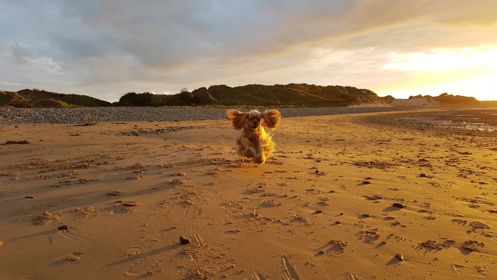
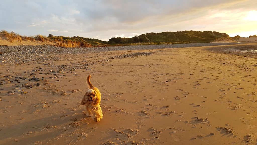
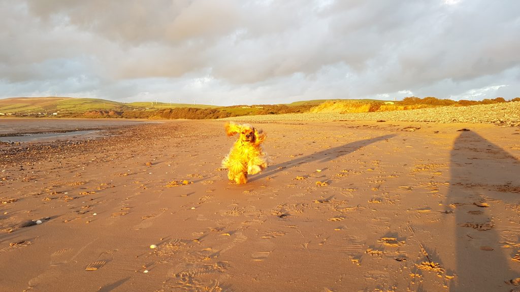
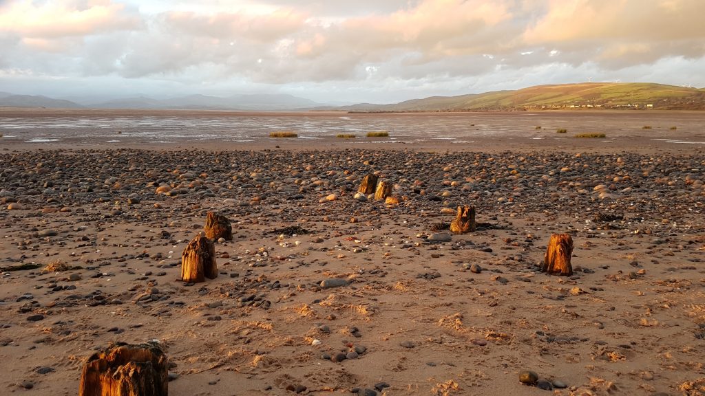
Friday – Roanhead
Friday afternoon had yesterday’s postponed meeting, then after dinner we popped out to the beach again, this time to Roanhead by Sandscale Haws. The tide was out so there was plenty of sand to run around on.
Looking across the Duddon estuary to Black CombeThe strong breeze blows sand over the ripples in the sand; the Isle of Man can be seen on the horizon under the sunBrindley having funThe two straight lines of wood are presumably the remains of an old jetty

 by
by