Walney Island is a place I’ve been to a small handful of times, but never really explored at all. Today was a glorious day, and in other circumstances the fells would have called, but my thighs were aching a good deal after yesterday’s explorations from Eskdale to Scafell during our week in the Lake District and elsewhere in Cumbria, and my knees had been complaining on the steeper parts of the descent, so a flat walk seemed in order. Additionally, Brindley had seemed tired yesterday for the first time in his life, and though he was full of energy this morning, a walk that could be flexed in length to suit either of us seemed sensible.
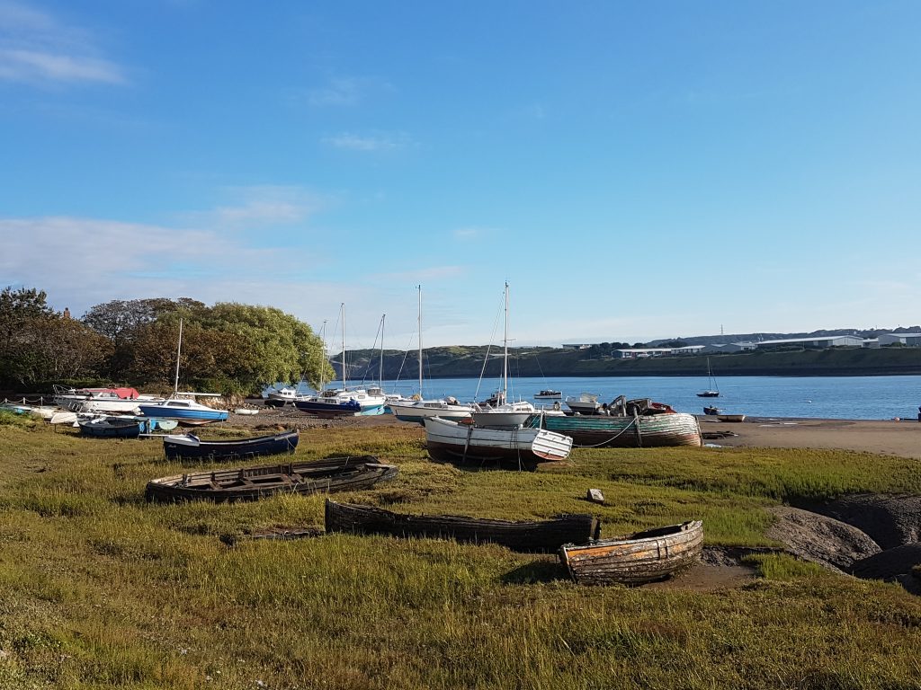
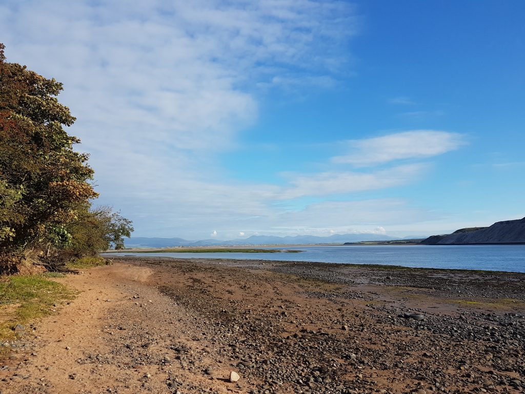
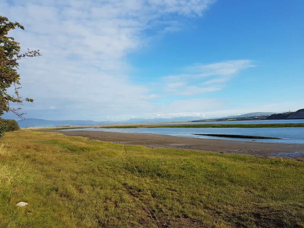
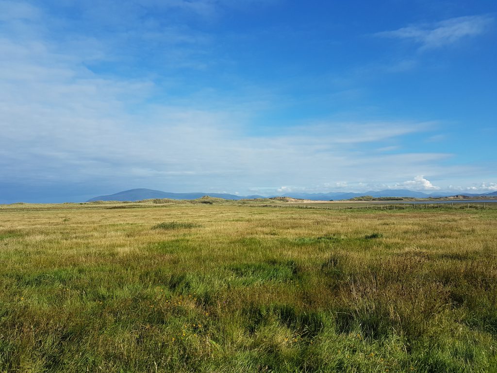
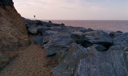
Having walked a little way down the west coast, then crossed the island, here we are at the start of our east coast exploration, about half a mile north of the bridge.This wasn’t a walk that I’d planned well in advance, so I was pleasantly surprised to find that it being 31 August, today was the last day that the next little stage was open, 1 September being “winter” hereabouts and so closed until 1 April.I had the foresight to check the tide times, so knew this part would be ok – by the time we drove away later in the day, this was under water.Looking north to the Lake District. My thighs were doing fine, and Brindley was running around freely, so we kept going.
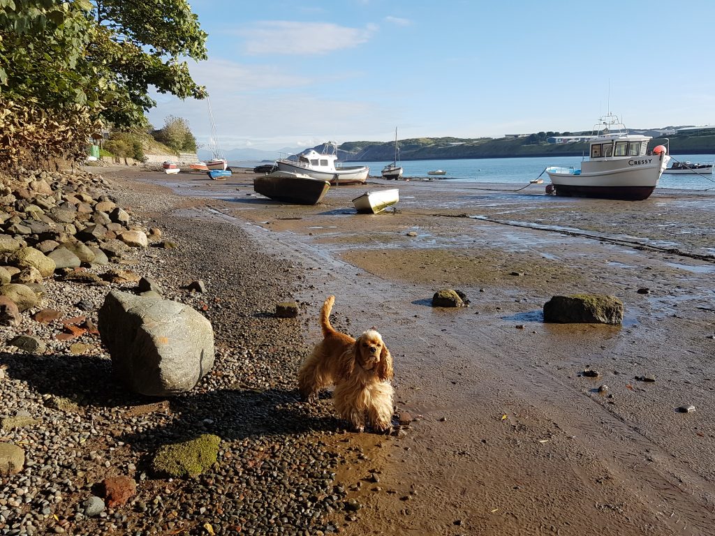
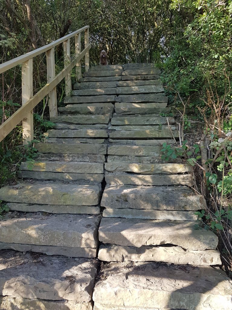
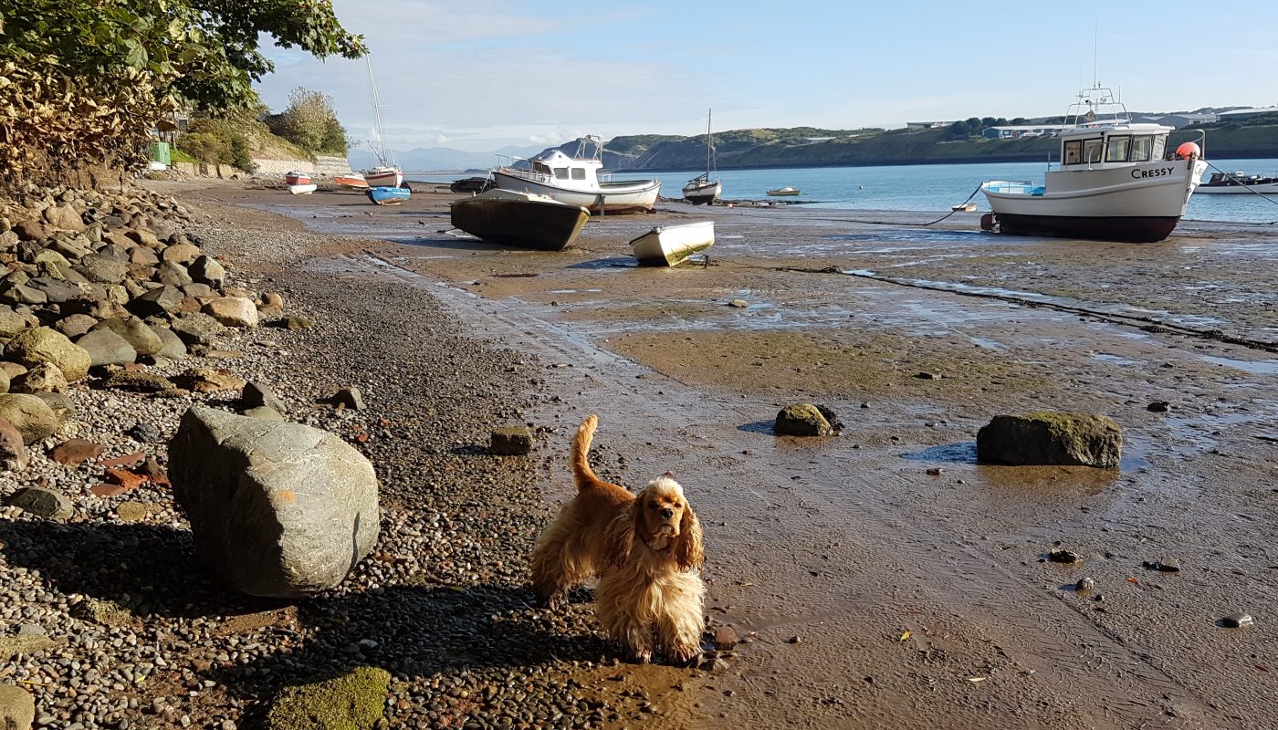
Brindley shows the way as we climb off the foreshore
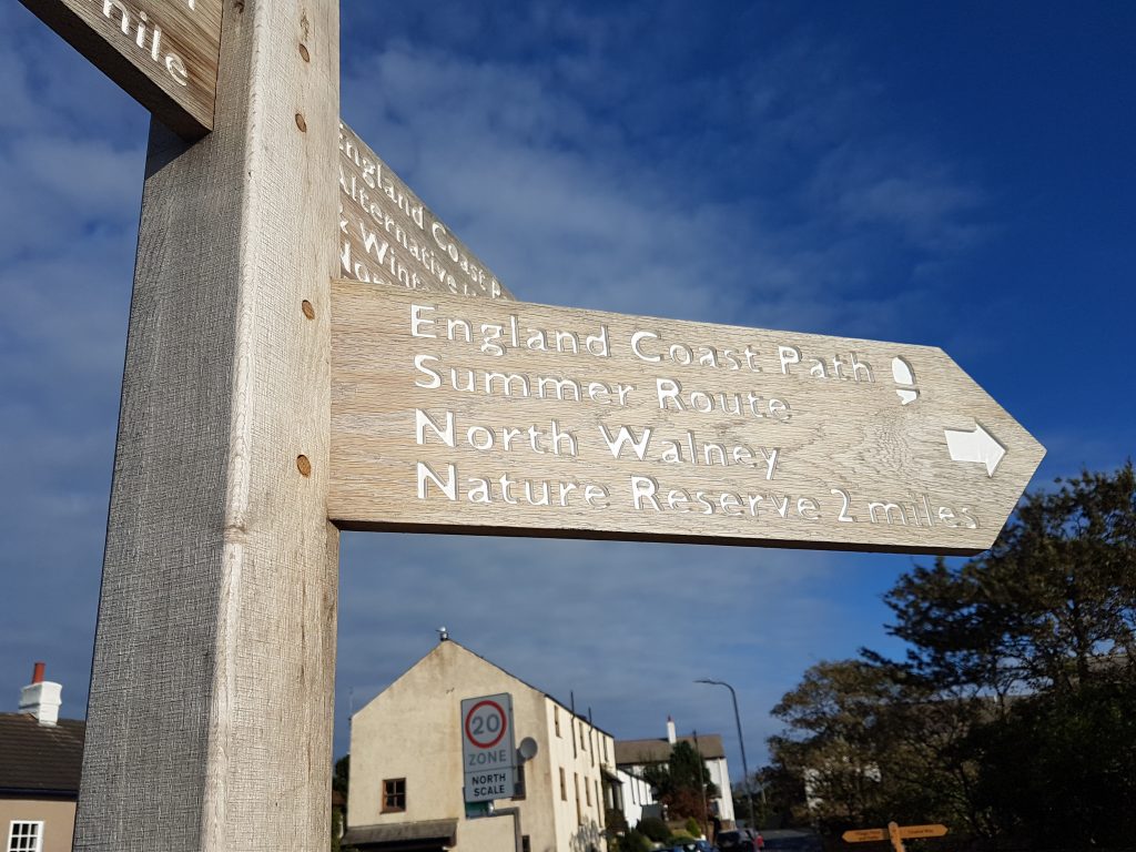
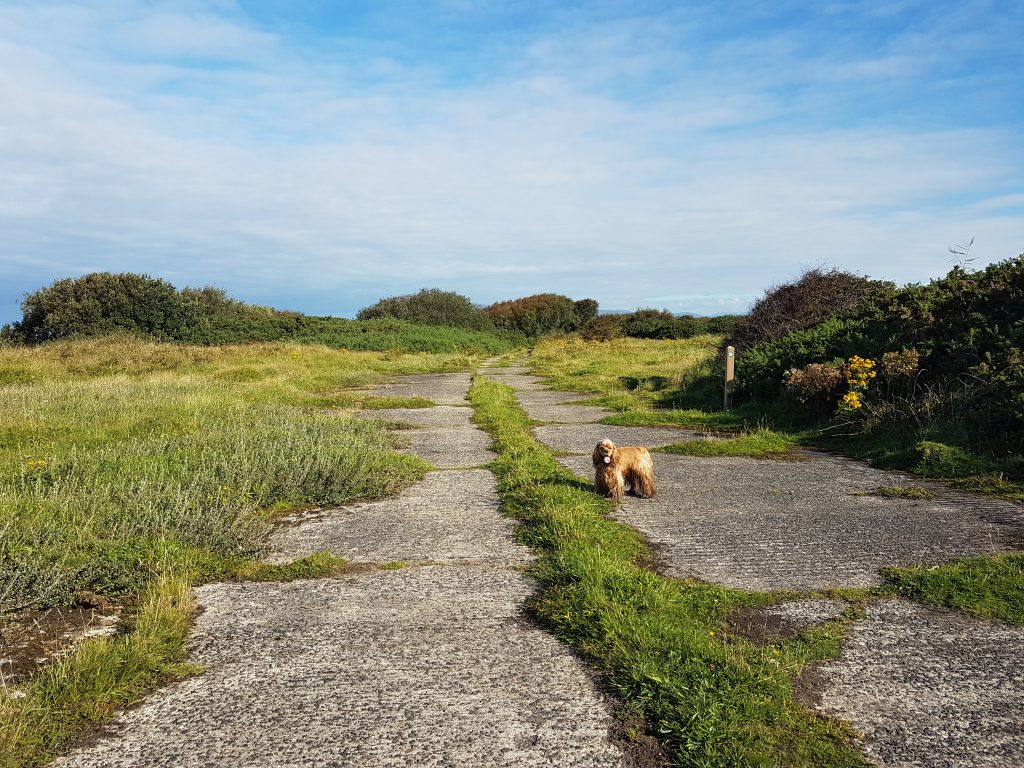
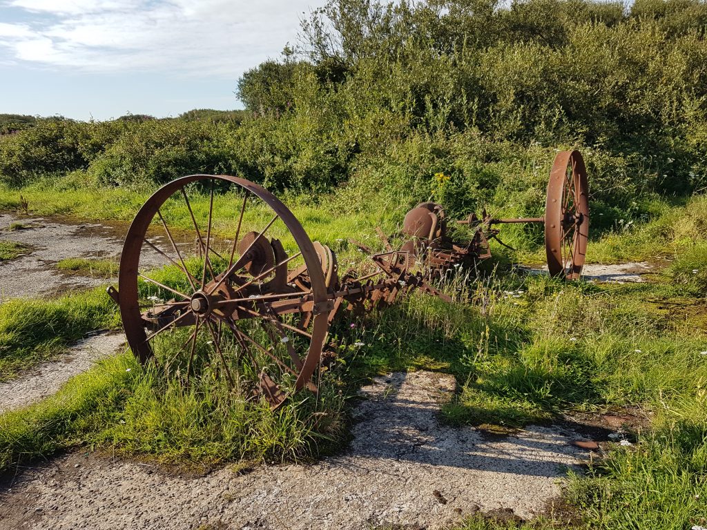
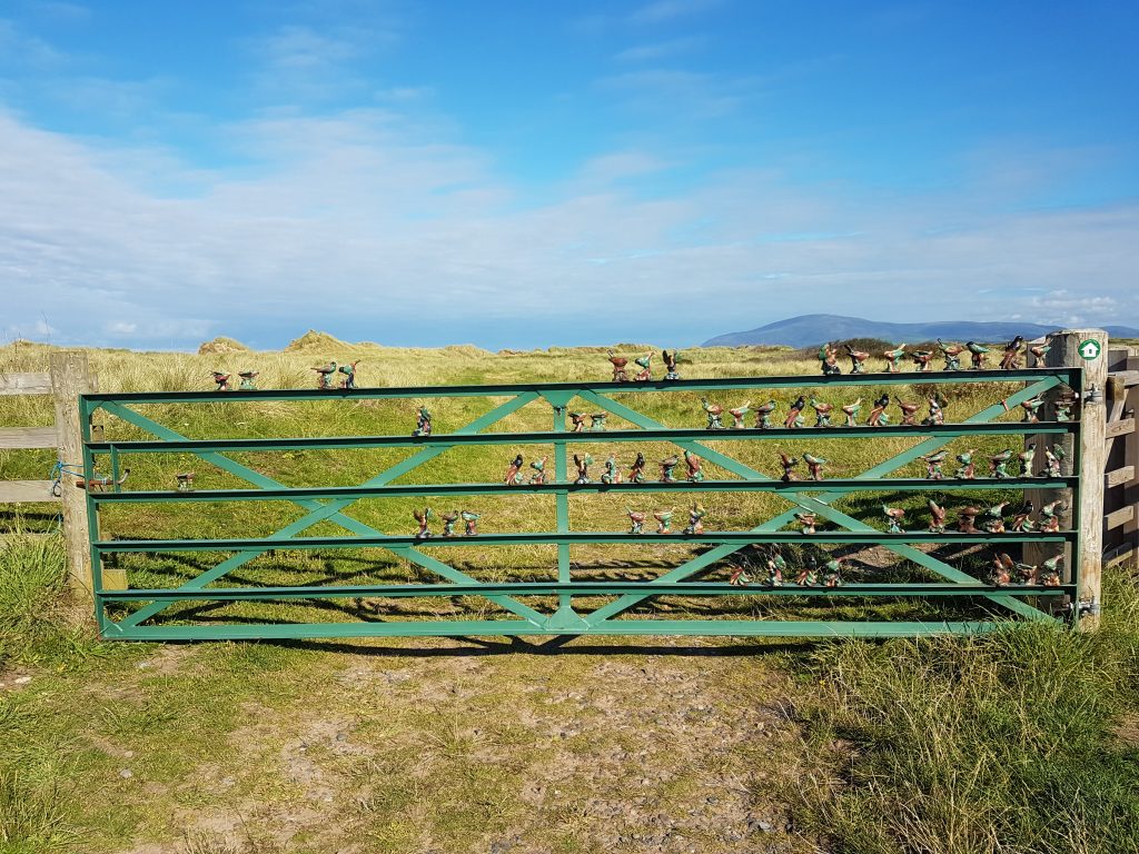
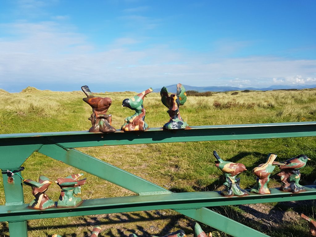
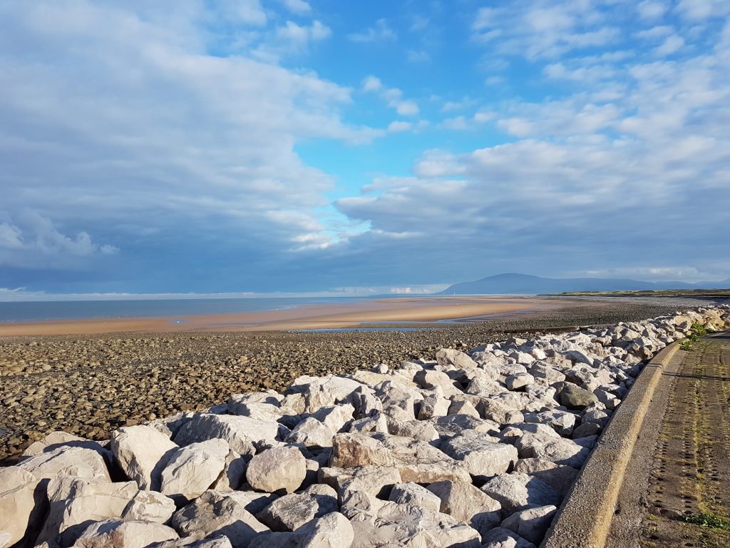
The Nature Reserve which forms much of the rest of the route is in part on elements of the airfield built here in the 1940s – much of it is still an active airfield, but the extremities have been cut off and returned to nature.This has presumably been here since before the airfield was constructedLooking across the inaccessible parts of the nature reserveAn unusual gateThe view north to Black Combe from near the car.

 by
by