 by
by In which: half a tomato sparks an argument ● Newquay takes a long time to let go ● there is no hue and cry today ● there are queues to get off the beach ● I cross my first tidal bridge ● beaches prove easier than dunes — though more subject to tides
Date: 21 August 2010
Time of walk: 0930 to 1520
Today’s walking: 19.6 km
Progress along SWCP: 19.5 km
Estimated ascent: 770 metres
It was a rather noisy start to the morning: I woke at 5.30 to the noises of dogs barking and soon to the sound of people coughing, and water running. Later, when the electricity went off, there was noisy arguments from the staff/owners downstairs. After breakfast, as I was finishing getting my bag ready, the couple running the place argued again – one of the people in the breakfast room with me had asked for “just one tomato” with his cooked breakfast, and there proceeded to be an argument in the kitchen as to whether this meant one piece of tomato (i.e. half a tomato), or literally one tomato. I was of the same view as the male half of the couple, namely that what was meant was half a tomato, even if that isn’t literally correct, since it would be normal to expect two halves with a cooked breakfast (the cooked breakfasts in B&B’s are pretty formulaic), and by asking for something specific, and using the word “only”, less than normal was clearly intended.
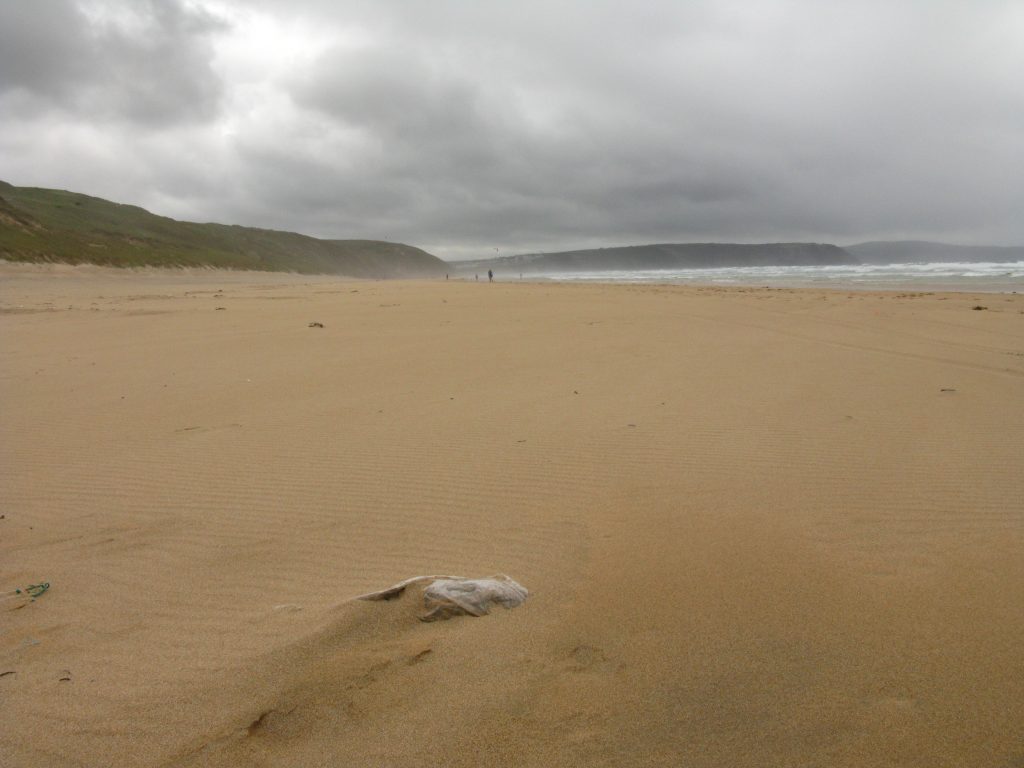
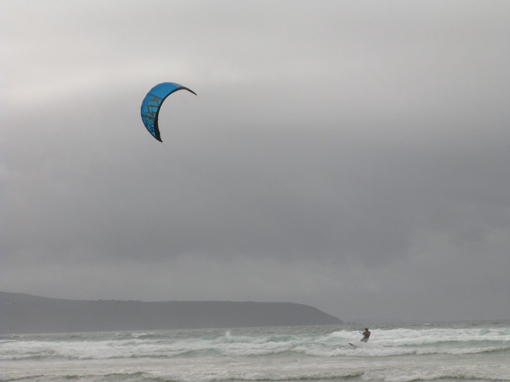
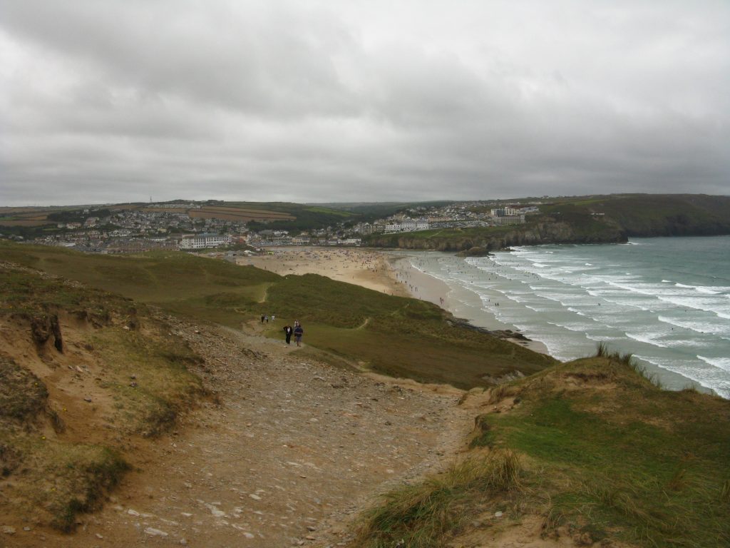
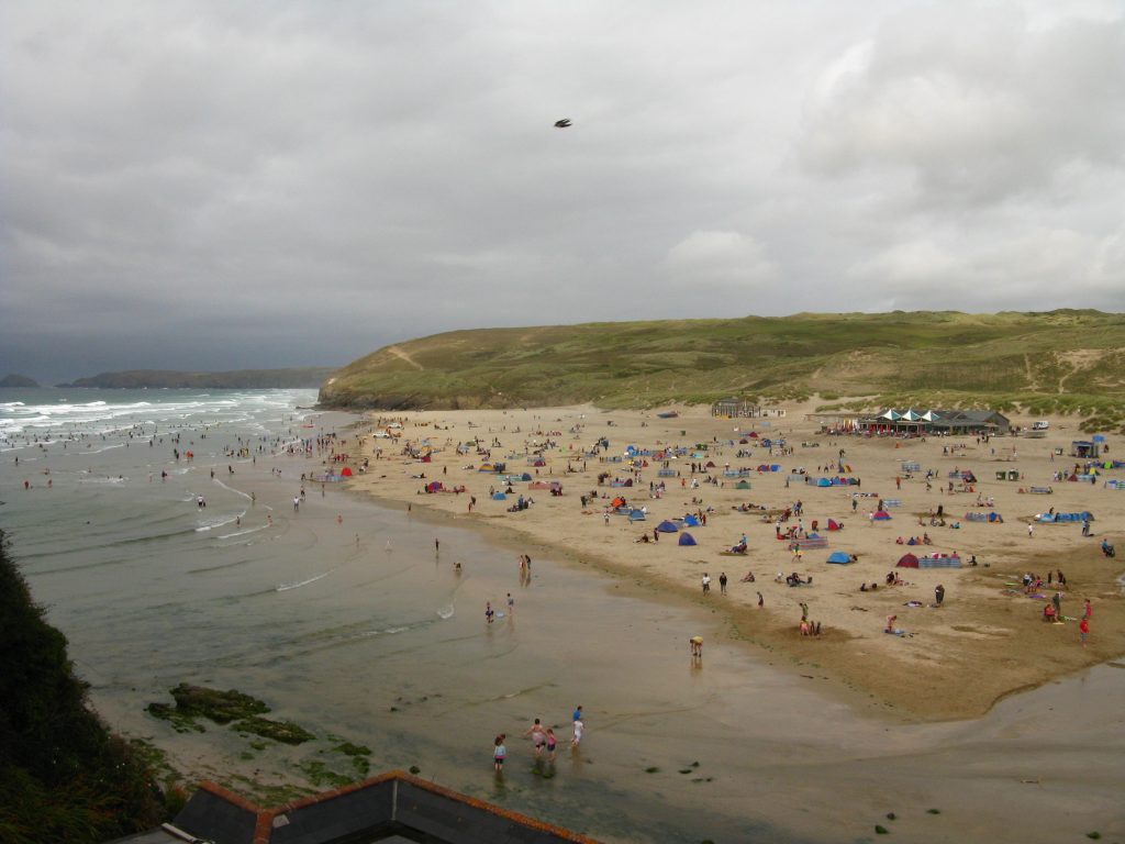
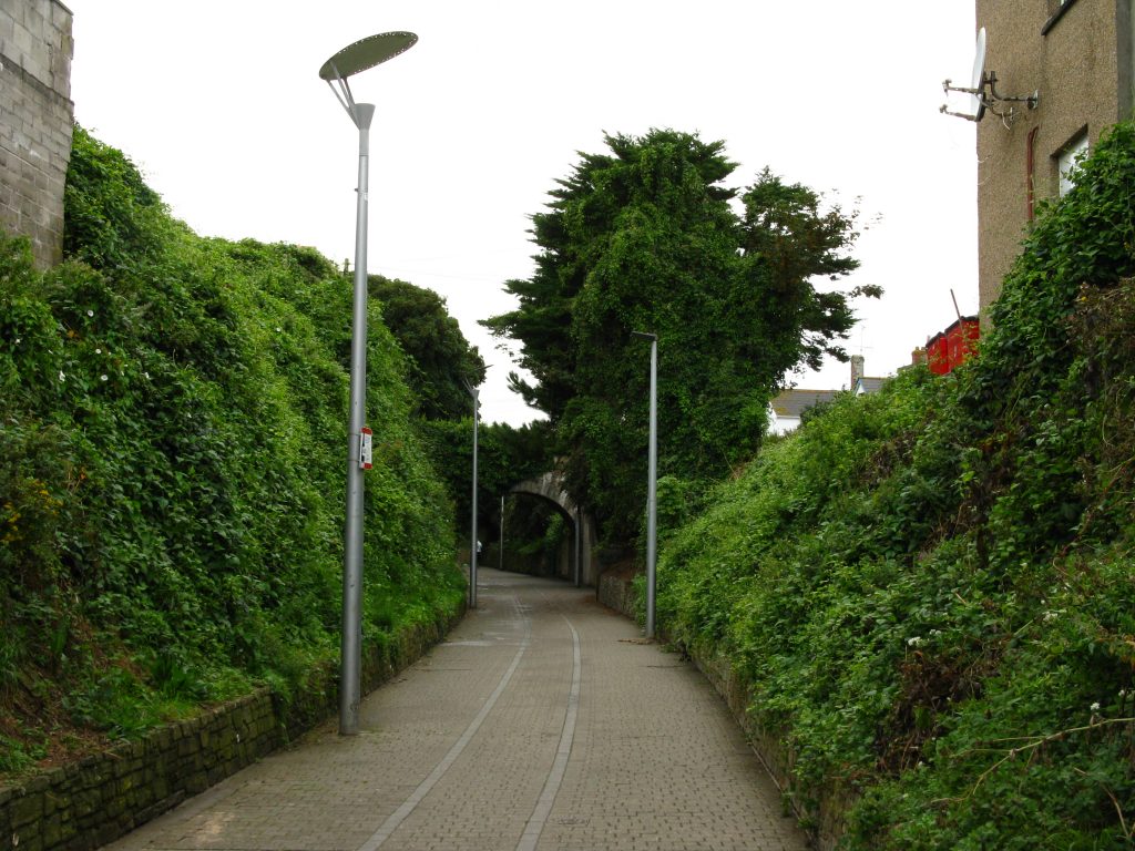
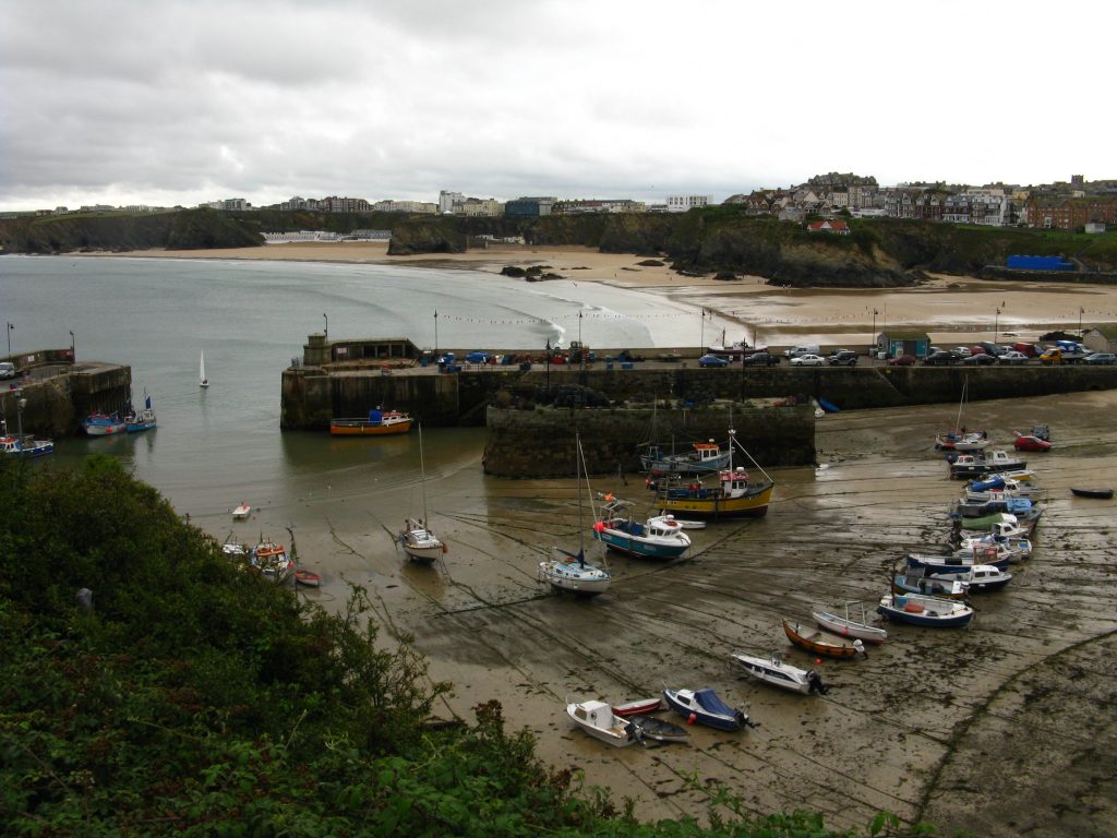
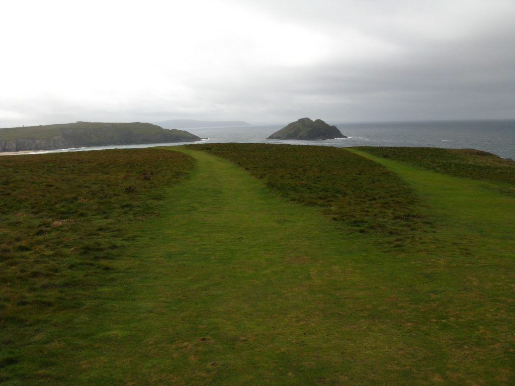
The taxi collected me promptly at 9.15 and dropped me off in Newquay. I wound my way through the streets of Newquay, with neither of my maps or guidebooks agreeing with the signs on the ground, which then disappeared. The Path takes a long time to say farewell to Newquay, wandering around the several headlands and beaches, and during this time it rained heavily on and off, making me in waterproofs feel silly when all around me are people in shorts and t-shirts, but as always the problem is not knowing in advance that the rain isn’t going to last long – I don’t want to spend the day in wet clothes simply because I hoped that the rain wouldn’t last long. Despite, or perhaps because of, the weather there were lots of surfers about – I had to queue to get off one beach past all the surfers coming down with their boards.
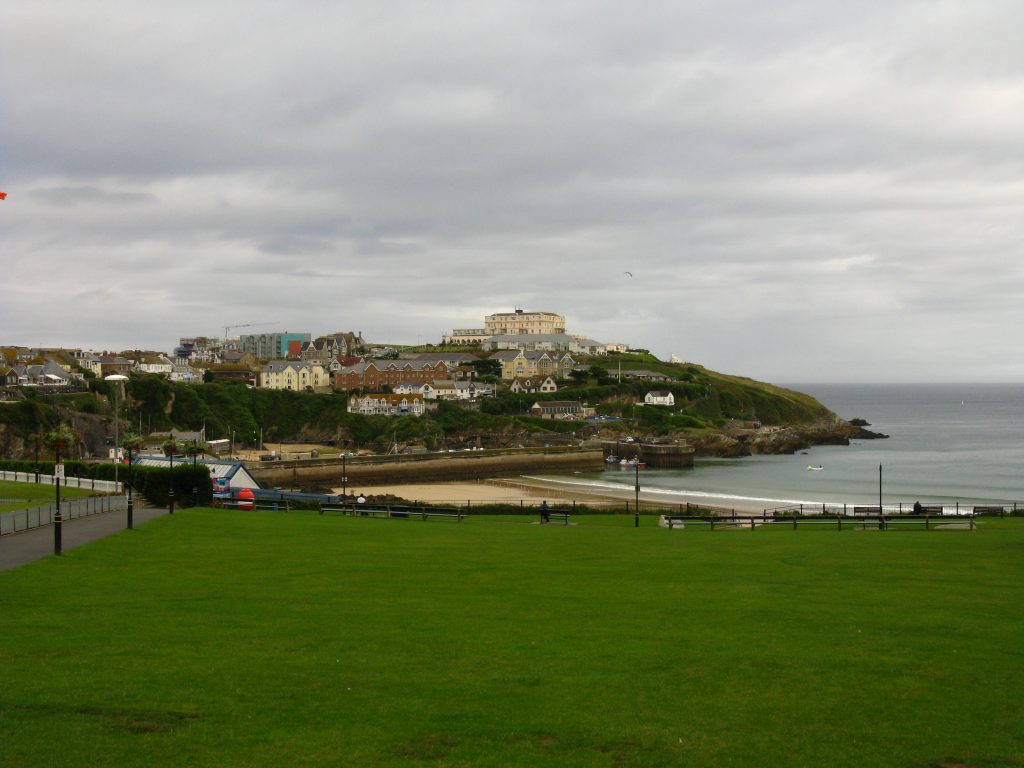
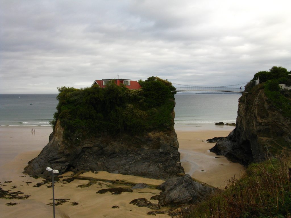
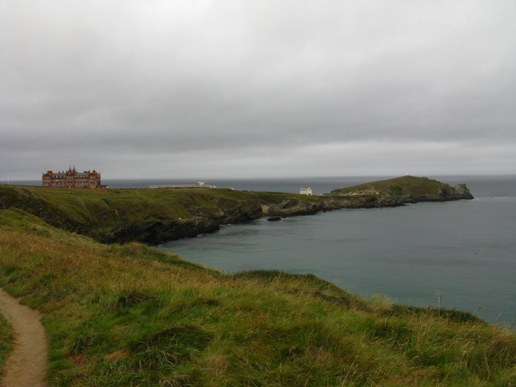
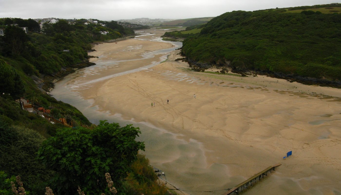
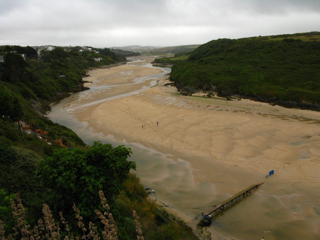
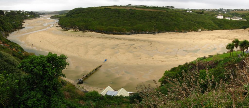
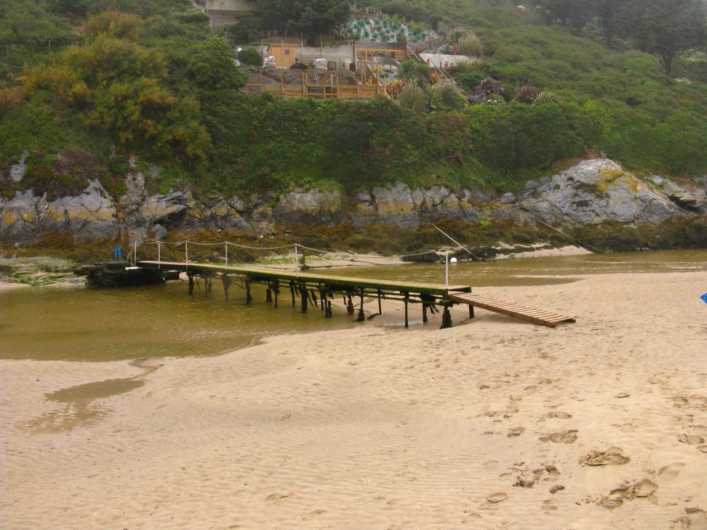
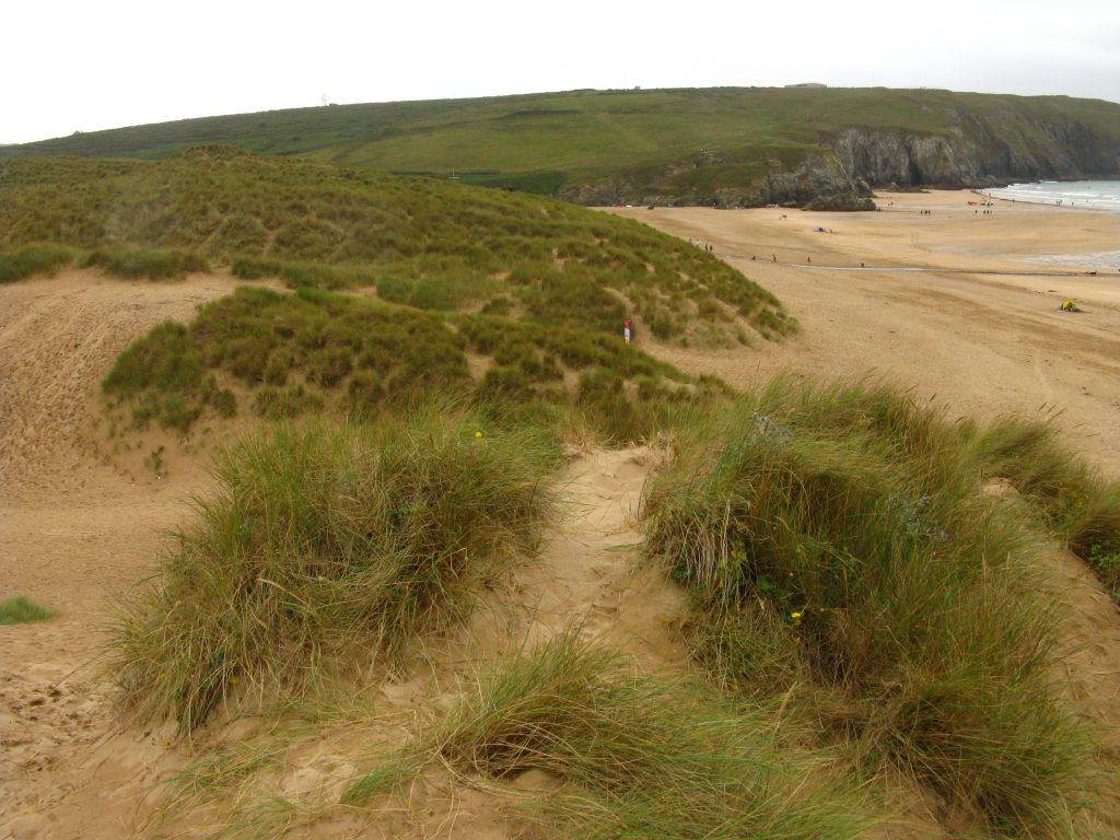
The focus of this morning was the crossing of the River Gannel, where the guidebooks went into huge detail about the various options and their availability at various times of the day, times of the year and states of the tide. I was planning to use the tidal footbridge from below the Fern Pit Café. Although I was by now a bit thirsty, and there wasn’t actually any huge hurry, I went past the café thinking I would do better to get a drink on the other side, and went down the uneven steps to the low tide bridge, which was interesting to cross, and odd to think that at high tide boats would be going straight over the top of the bridge on which I’d just walked. On the far side I found that the kiosk I’d relied on for a drink was closed, which left me a little short of fluids for the next section of the walk as I’d expected to get something at Newquay.
I had mentally got myself into the state of mind where I had to cross the Gannel at low tide, even though I probably had about an hour and a half to spare and plenty of time to stop to get a drink and just enjoy the view. This is something I need to work harder at – often during a walk I know I’ve got a fair way to go, and so I keep going, but does it really matter if I don’t get to my destination till six o’clock rather than half past three?
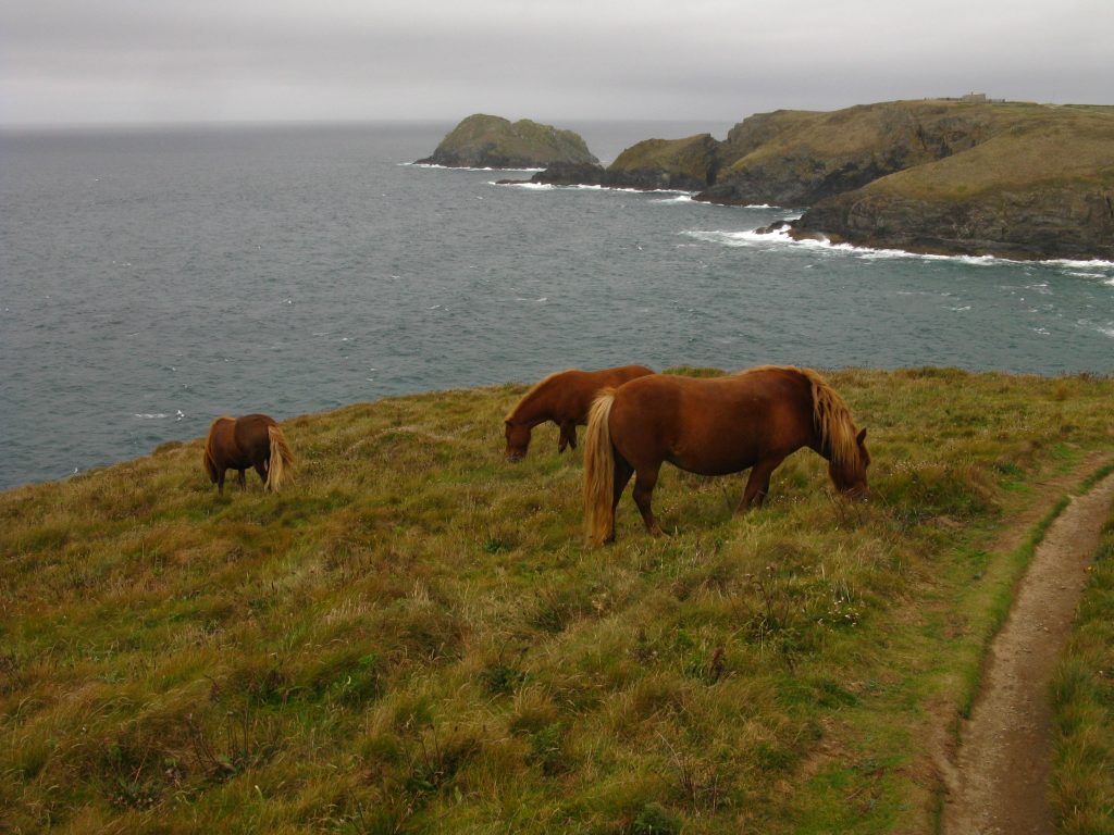
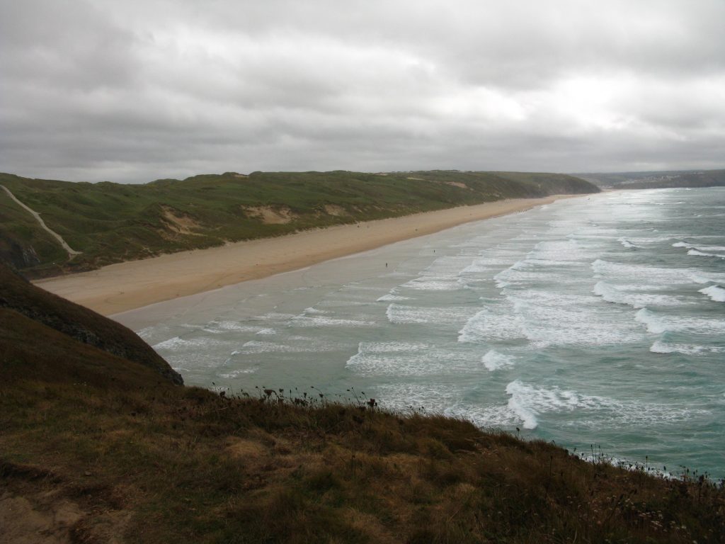
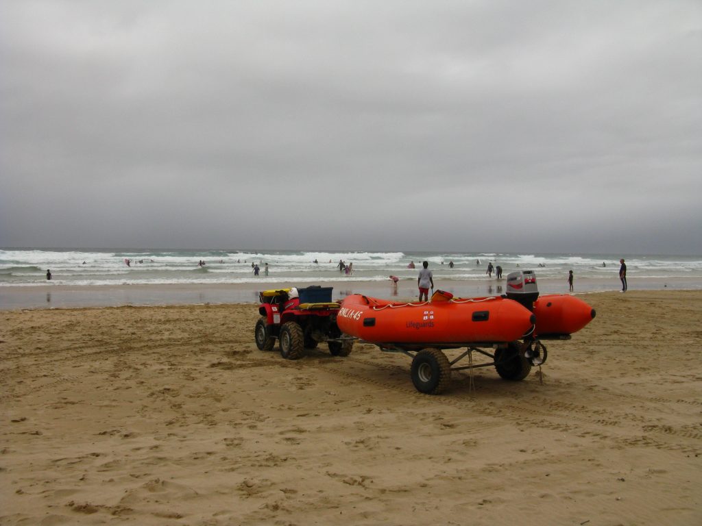
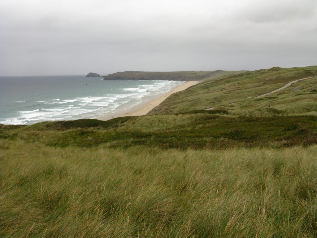
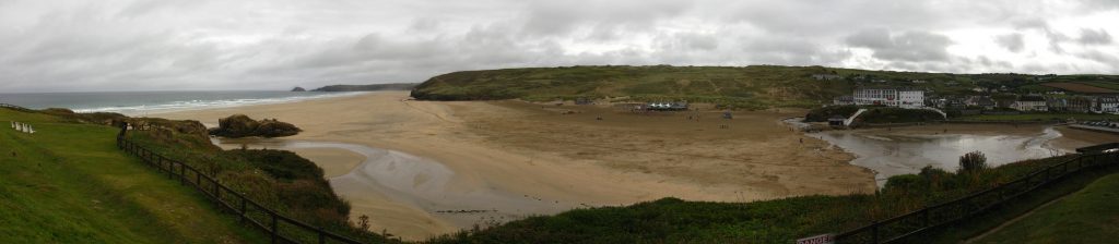
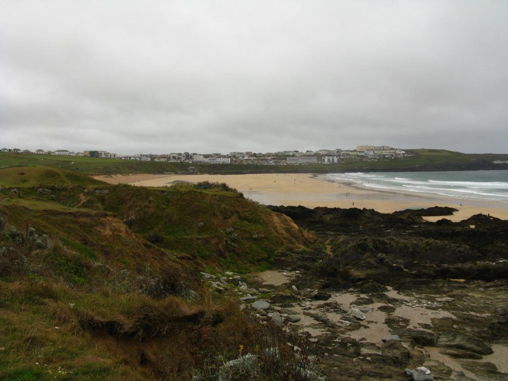
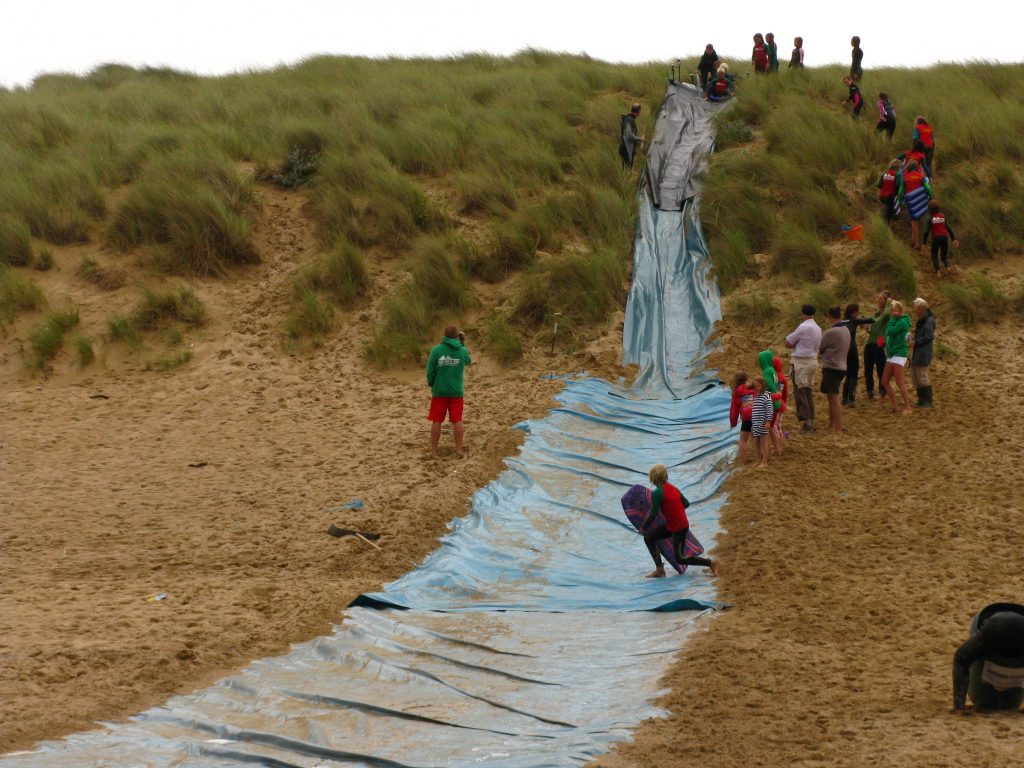
Eventually I reached and crossed Holywell Beach – I rather lost the official route through the dunes and came down onto the beach at high speed down a very steep dune, and then diverted around a slide which someone had made out of rubber sheeting and down which children were sliding with great enjoyment. I got myself an ice-cream and a drink at a van on the beach. Although I know the weather hasn’t been brilliant, I was astonished at how few people there were on the beach. This was an enormous beach, and there were only a few dozen people on it, most of them on their way to or from the sea for bodyboarding or surfing or the like. And most of the other large beaches I’ve passed have been the same. Where are all the families sheltering behind windbreaks, that mainstay of the British seaside holiday?
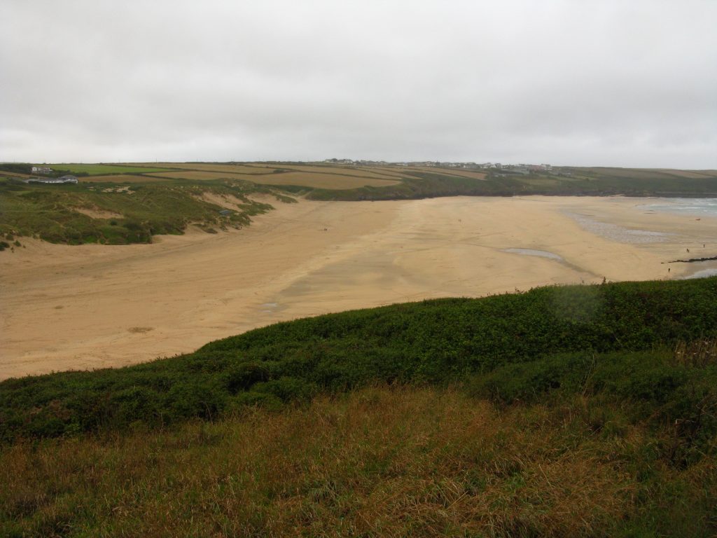
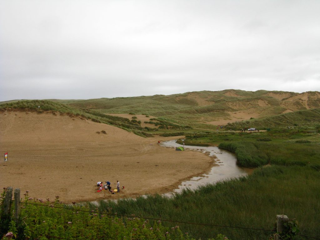
I then forded the river to save a little distance. It was only very shallow and trivially easy but it was still mildly exciting to be choosing to ford a river, especially with the low tide crossing of the Gannel earlier.
On my way up to the next headland I walked round a family having a picnic. It was lovely to see a family enjoying themselves, but I really don’t understand how some people’s minds work – they had chosen to plonk themselves on the path, completely across it. Of course, it wasn’t difficult to walk round, but how can people be so closed to the little civilities of life that they think this is normal behaviour?
The weather continued to make clothing decisions difficult – I took off my waterproof trousers as I was getting wetter from the inside than the outside, and my waterproof top followed, but I then put on my long-sleeved top over my t-shirt to keep the wind off my arms, but then started to get too hot so contemplated removing the t-shirt to leave the long-sleeved top: in the meantime I practised some thermal regulation by taking my hat off to keep cool and putting it on to warm up. The trouble is that you can be very hot going uphill, especially as the uphill stretches tend to be sheltered from the wind. There was still no sign of the sun, but a couple of patches of blue sky did appear briefly.