 by
by In which: indecision rules ● my rucksack saves my head ● I complete the Undercliffs Nature Reserve ● the delightful Cobb beckons ● an ice-cream tempts ● the land continues in motion
Date: 2 October 2020
Time of walk: 1130 to 1605
Today’s walking: 14.8 km
Progress along SWCP: 6.9 km
Estimated ascent: 500 metres
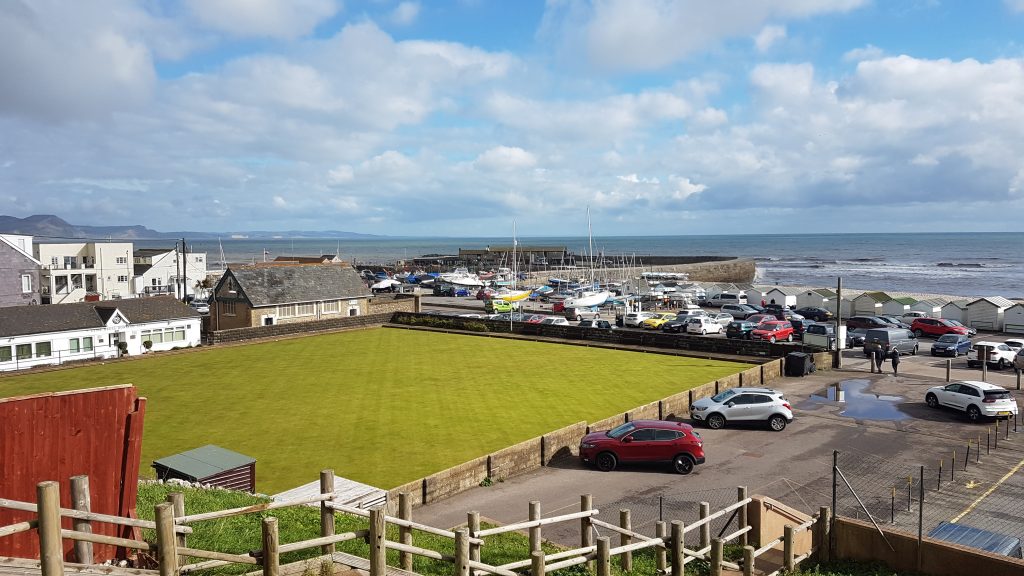
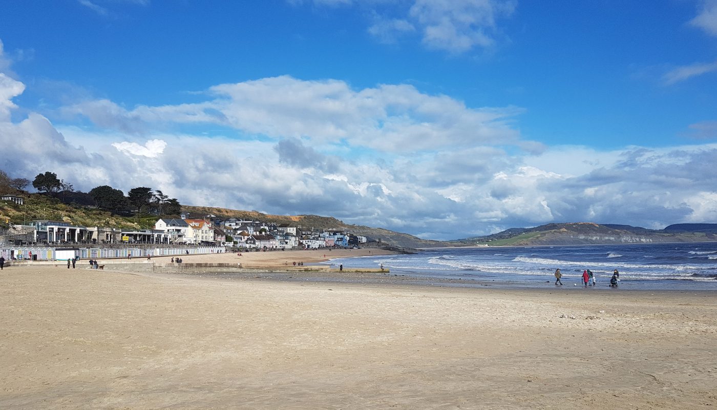
In this holiday in which I had no fixed plan for where to walk when, today’s weather forecast added to my uncertainty, and I arrived at Lyme Regis in the car still not quite decided whether to walk east to Charmouth where I’d started from yesterday, but I decided there was enough time for a short walk into the Undercliffs first, return to the car to eat lunch, then walk on to Charmouth and back. After a couple of hundred metres, I changed my mind, returned to the car to collect my lunch, and set off for a longer walk westwards into the Undercliffs.
As I walked through the semi-urban fringe, I paused for a few seconds to fiddle with my rucksack, and as I started walking again, a substantial branch (several kilos) fell onto the ground immediately in front of me – I’m not quite sure whether without the rucksack, it would have fallen behind me or on me, but it was a close thing.
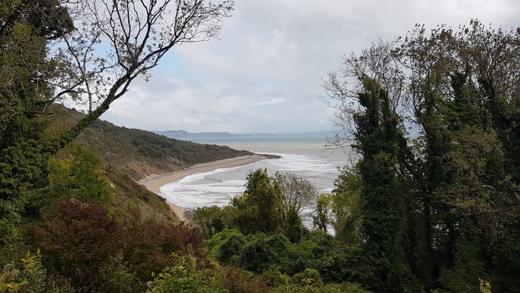
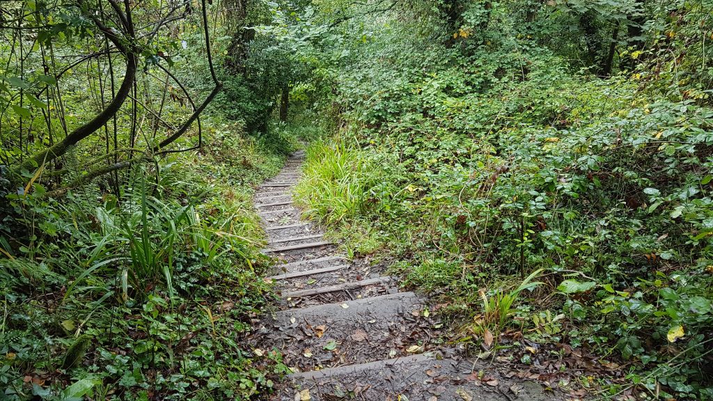
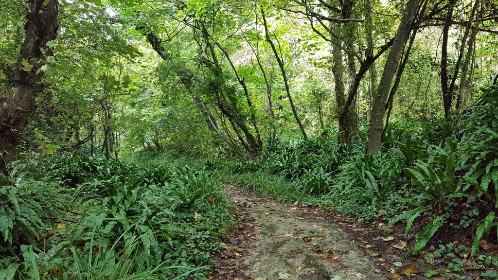
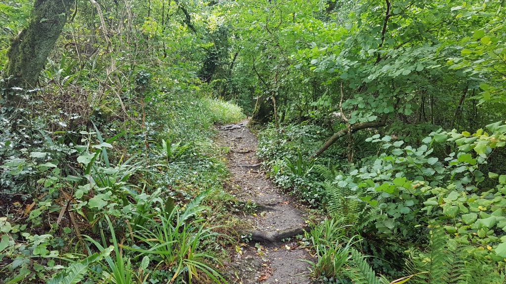
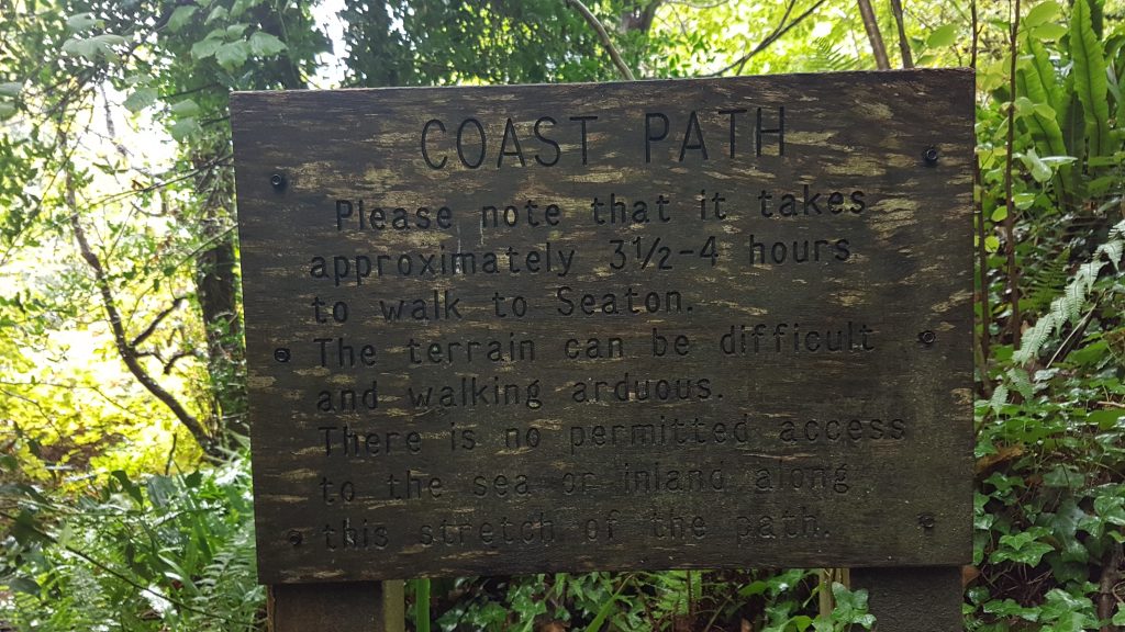
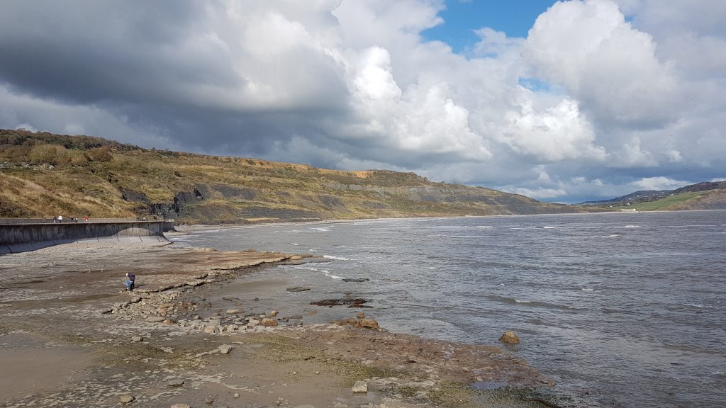
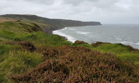
I pressed on across the open cliff tops, and then entered the woodland of the Undercliffs. Signs warned of the arduous nature of the walk, but though it wasn’t an easy forest stroll, it was not untypical of many sections of the coastal path, just surrounded by vegetation rather than tending to be more open.
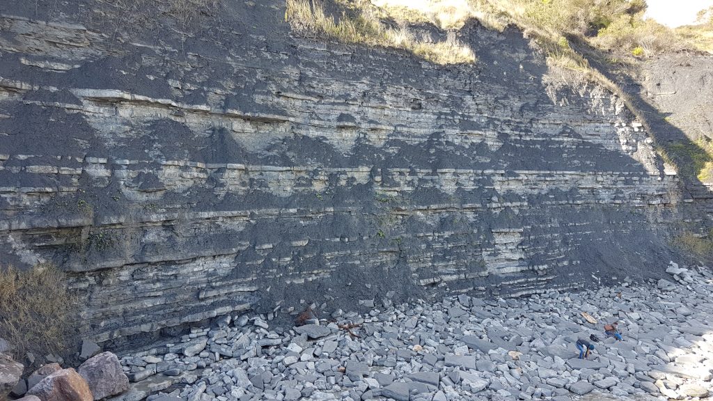
The rocks of the Undercliffs gradually get older as one heads west, about 185 million years old at the Lyme Regis end, increasing to 210 million years old at the western, Seaton end.
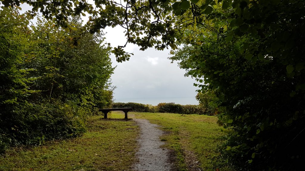
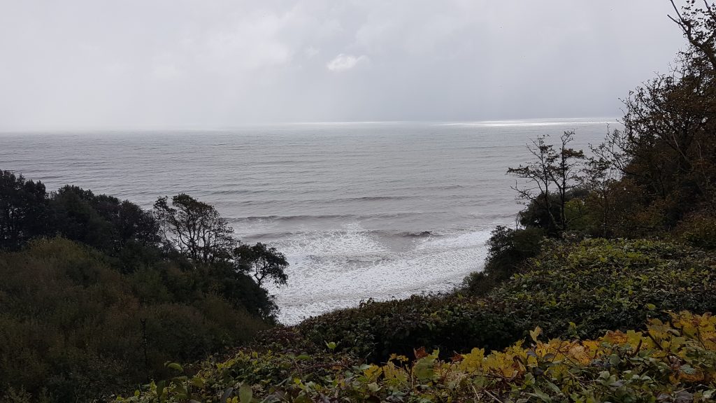
I passed along the landslide below the Pinhay Cliffs where there is a gap in the vegetation with a bench giving a good view out to sea. Someone’s key was sitting on the bench, hopefully, perhaps naively, awaiting the return of its owner.
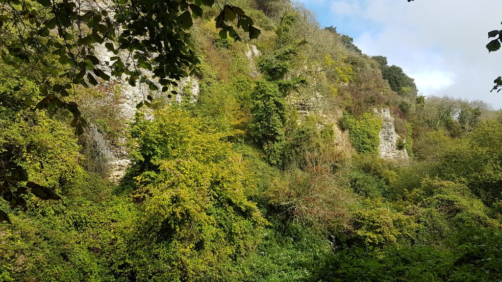
On past undercliffs below the Whitlands cliffs, this being formed by huge landslides in 1765 and 1840. The slumping of the ground seawards has left hollows either side of the path and the whole experience is rather odd – it feels so settled and permanent, but reflects regular upheaval and change on a scale we don’t usually experience on the tiny timescales of humans.
I was aiming for the parish boundary as my turn-around point. Just short of it I found a little bench with an excellent and rare view of the sea, which would also be easy to identify for when I travelled from the other direction. Being a completer, though, I pressed on a short while further to make sure I’d crossed the parish boundary, before returning to the bench for a drink.