In which: I take my final walk of the holiday ● I ponder on how long a diversion is a diversion ● a golf course is ambiguous, again ● a descent into Charmouth is delightful ● a bacon bap wins out
Date: 6 October 2020 Time of walk: 0910 to 1125 Today’s walking: 8.9 km Progress along SWCP: 4.6 km Estimated ascent: 340 metres
The rain this morning was again more than forecast, and after I’d arrived at the car park in Lyme Regis, it was difficult to motivate myself to get out of the car into the rain, but fortunately the rain stopped within a few minutes of doing so, once again leaving me with the dilemma of whether to remove waterproofs (to avoid overheating) or to leave them on (in the expectation of more rain).
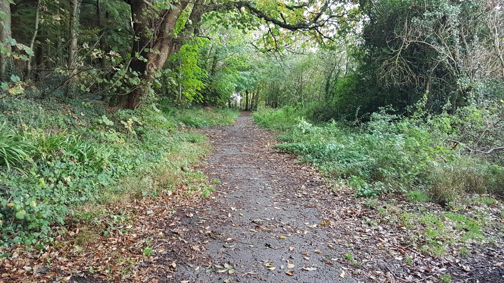
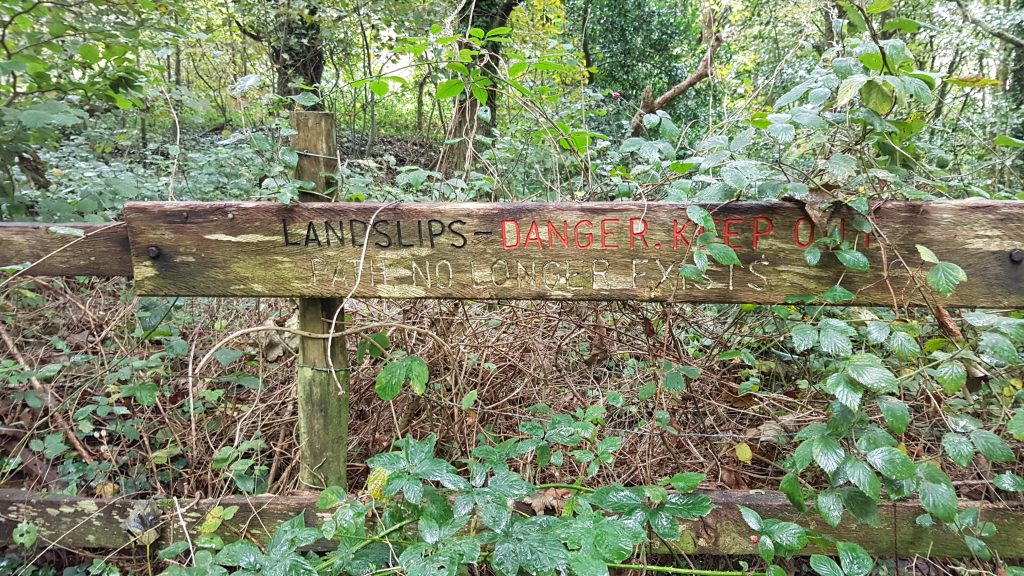
The route to Charmouth goes a fair way from the coast, diverted away from the extensive areas of landslips which make the whole area very unstable and have destroyed the paths and roads which once crossed the area.
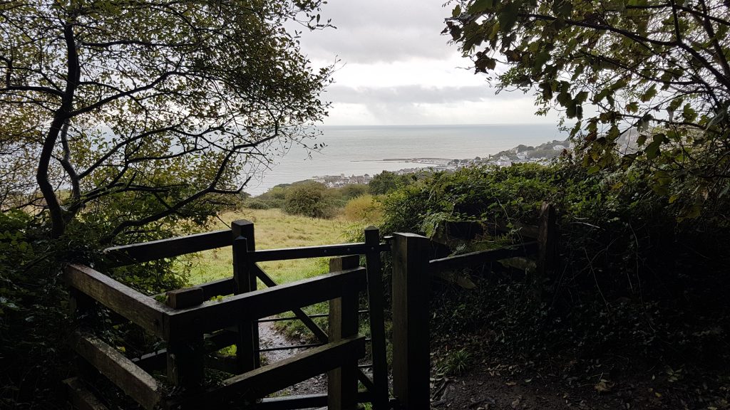
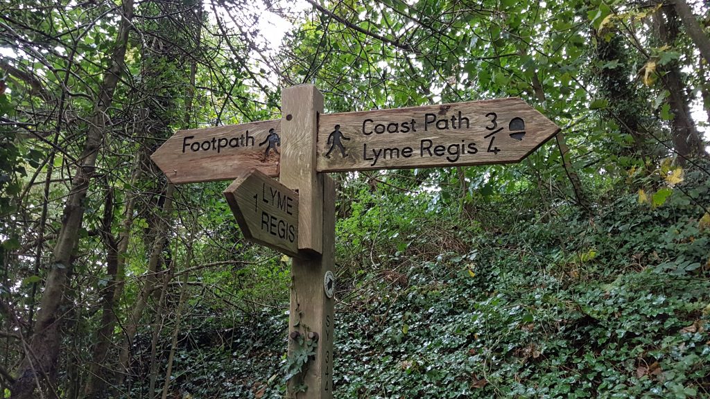
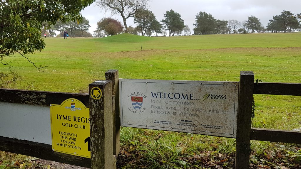
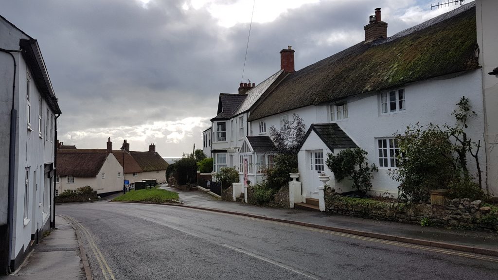
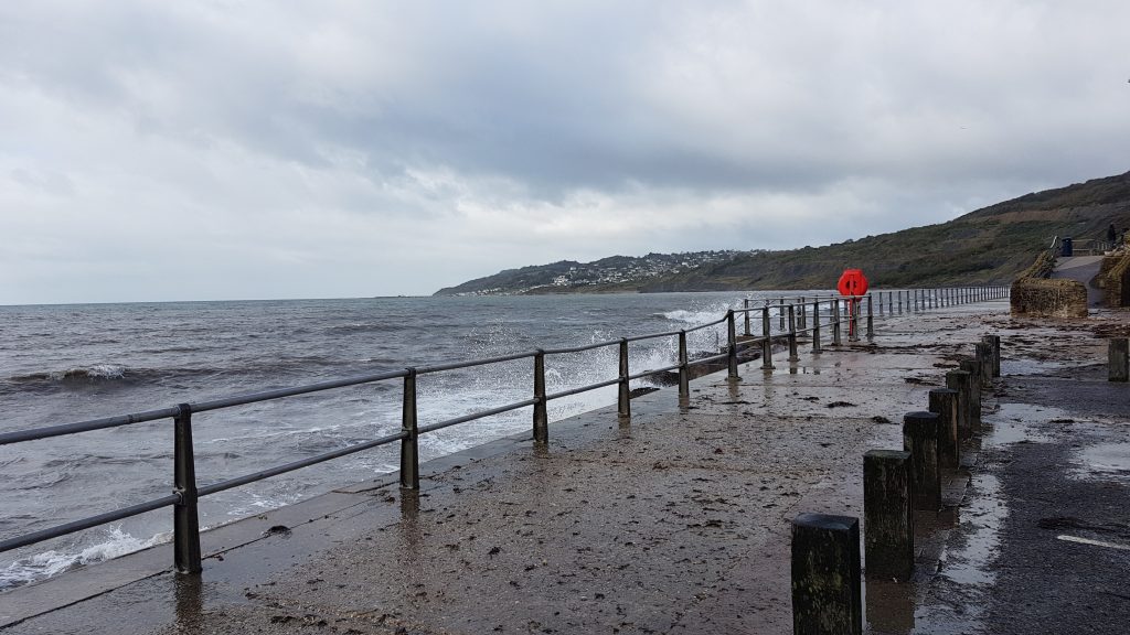
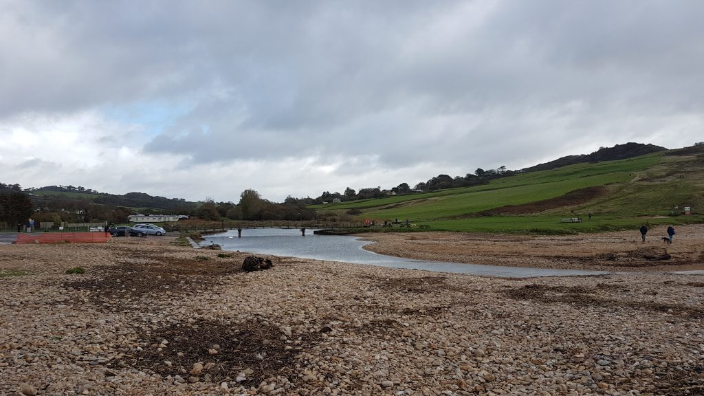
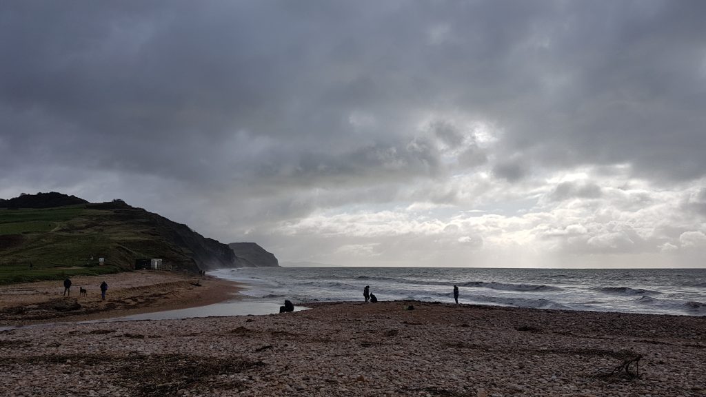
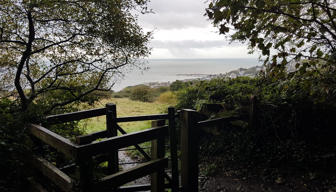
After an ascent over open ground, I look back to the Cobb and Lyme Regis as I enter woodlandLooking east along a path or track, originally a Roman road, that no longer goes anywhere usefulAnother path to nowhere. Once of the problems with the South West Coast Path diversion is that the signing hasn’t quite kept up – there are footpath symbols without any indication that they now form the route of the National Trail, and (a general problem with footpath signing) when there are signs saying “diversion” one has no idea whether this is a diversion from six weeks ago that isn’t reflected on one’s map, or from years ago that is fully reflected in almost all maps and guidebooks and thus not really a “diversion” in the mind of the person being guided by the signs.Even this modern sign still hasn’t quite acknowledged the semi-permanent nature of the diversion, with the National Trail acorn pointing down the hill back to Lyme Regis, but no acorn pointing onwards. The proposals for the England Coast Path, if adopted, will persist with this part of the route, though change it closer to Charmouth.Golf courses crossed by public footpaths are often a mild challenge, and this was no different – “follow the white stones” says the instruction, but there are no white stones in sight. “Please be mind full [sic] of balls and patrons in play” – but no guidance given at any point as to where the fairway lies, which direction balls and patrons might be coming from. It’s familiar to the locals, but often far from obvious to the visitors.After crossing the golf course it was a descent through woodland and then a pavement walk, not very interesting at first, but which improved as I came into the town, and became charming. The less good part will be bypassed under the England Coast Path proposals for a more gentle descent through the woodland along the edge of the golf course.Reaching the sea it was a windy day, blowing detritus onto the shoreLooking up along the River Char. The far side of the bridge is where I reached on Thursday and will thus join up my walks.The view along the coast. The cafe here had some good things on offer, including cakes and ice creams, but in the end a bacon bap for second breakfast won the day, before I turned around, retracing my steps back to the car before heading back to Suffolk.

 by
by