In which: the day starts with bus frustration ● the walk starts with a diversion ● I learn about Weston Plats and linhays ● ice cream is still welcome in October ● chalk starts to take over
Date: 5 October 2020 Time of walk: 1130 to 1650 Today’s walking: 18.2 km Progress along SWCP: 16.2 km Estimated ascent: 730 metres
The plan today was to park in Seaton, and get the bus to Sidmouth and walk back from there. The drive to Seaton was extremely wet, considerably wetter than forecast, but it eased off as I arrived in Seaton, and by the time I’d made a couple of work phone calls, the rain had stopped. I got myself ready and walked through to the esplanade and its bus-stop to catch the 1001 bus. A local joined me in rather a hurry as the time of the bus’s arrival drew near, but it was in vain, for the bus didn’t come. When it got to about 1045, and it was clear that the bus was extremely unlikely, I wandered down the front to another bus-stop, which I knew was somewhat more central. This was was fitted with a display screen which showed the next number 9A bus was due in 18 minutes, which was reassuring, though the Stagecoach website, the Stagecoach text messaging service, the Traveline website, and Google Maps all showed the earlier bus as having been due at 1001. But sure enough the bus an hour later arrived, and I got on and went upstairs. It went around the roundabout and hared off towards Sidmouth, with no journey down the front to the stop I’d originally been at, so I was glad I’d moved, though unimpressed with the information available to prospective passengers.
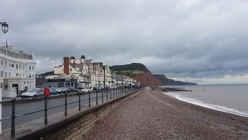
Safely arrived in Sidmouth, I walked the short distance to the front and joined the South West Coast Path for my journey eastwards.
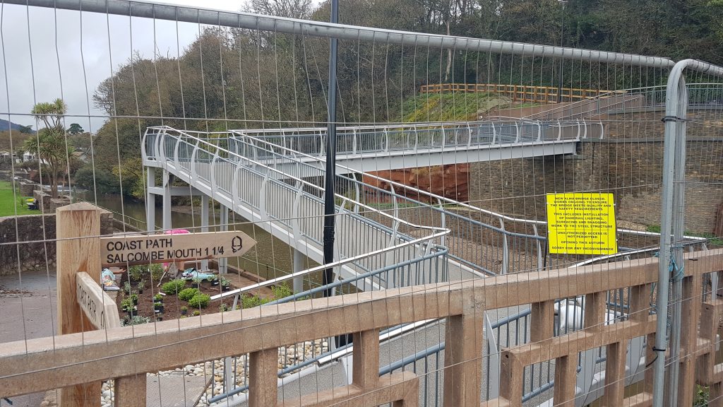
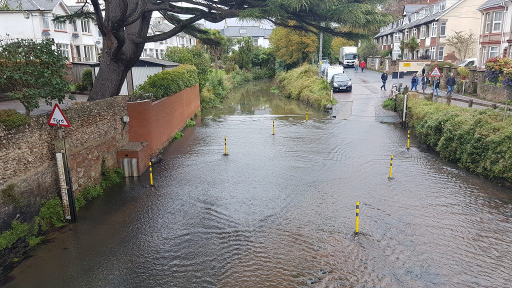
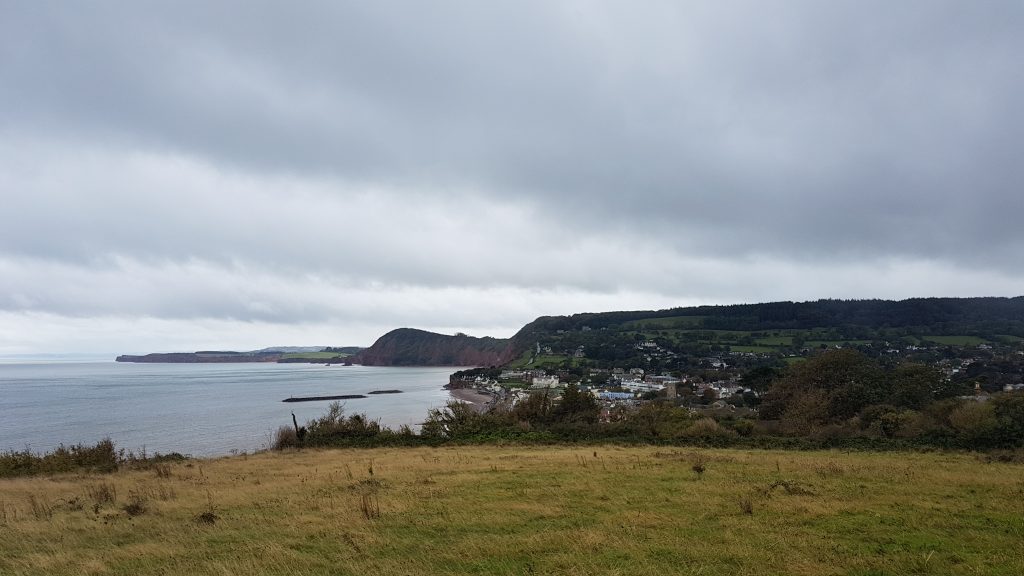
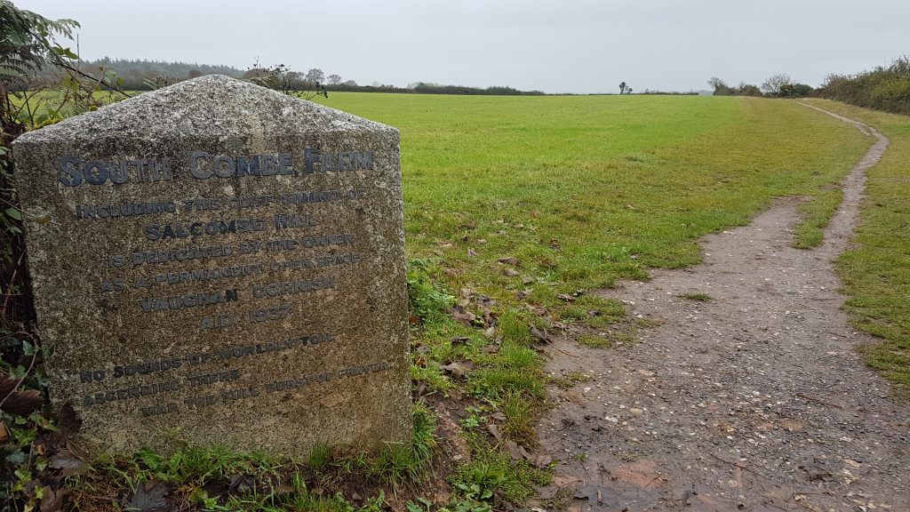
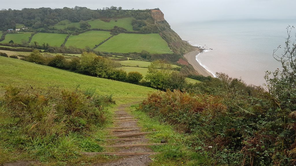
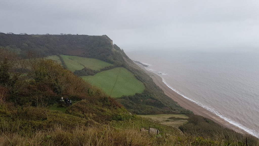
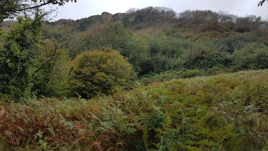
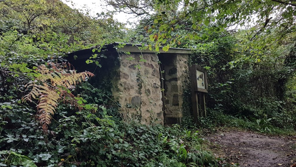
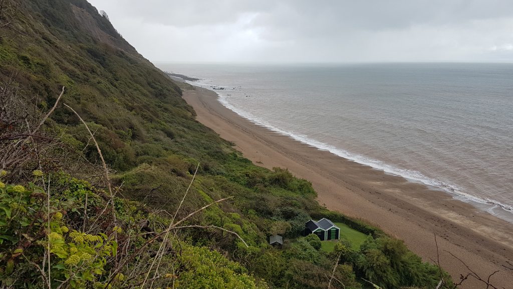
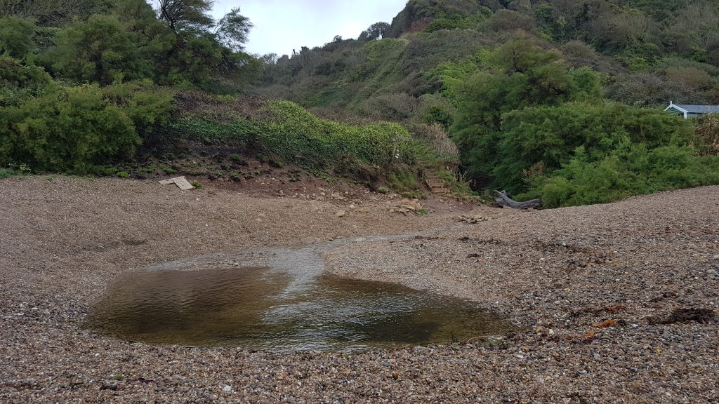
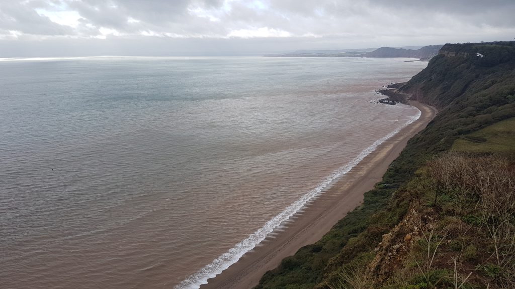
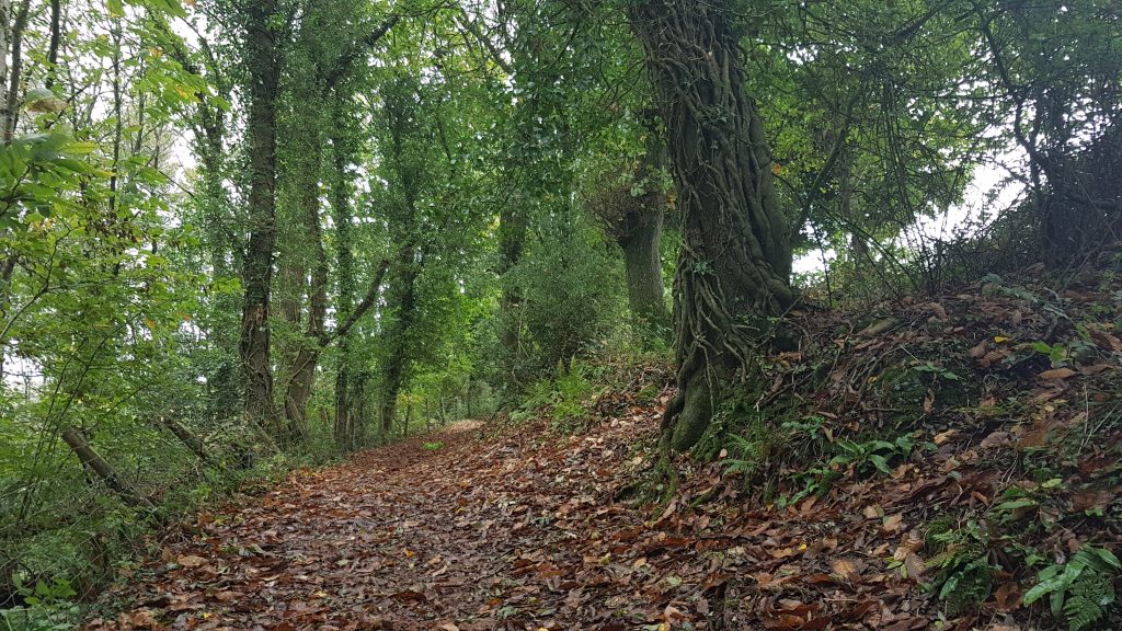
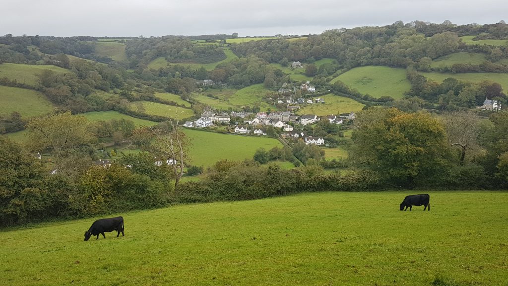
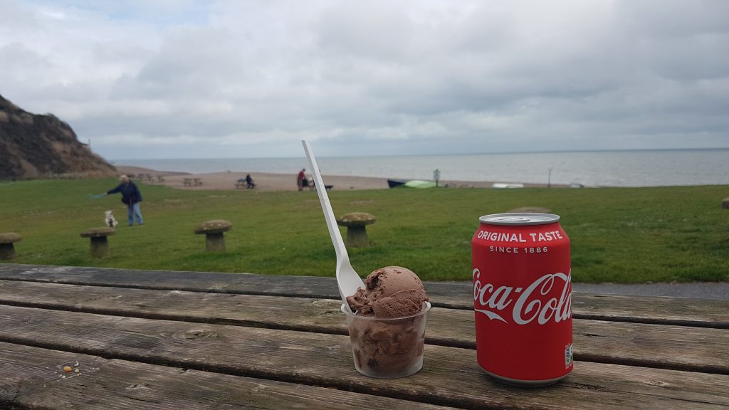
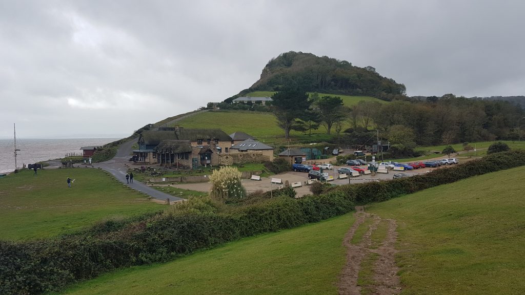
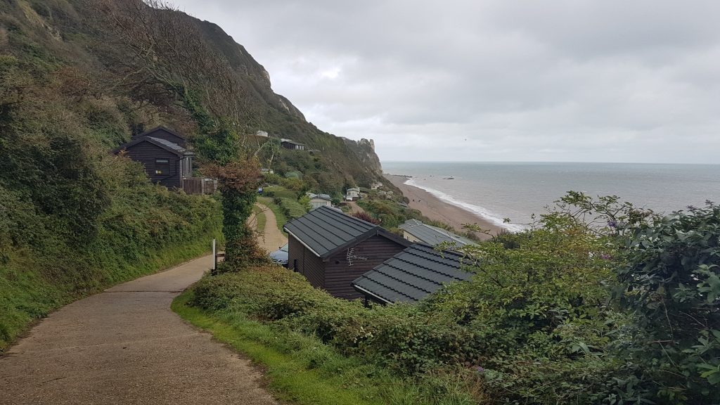
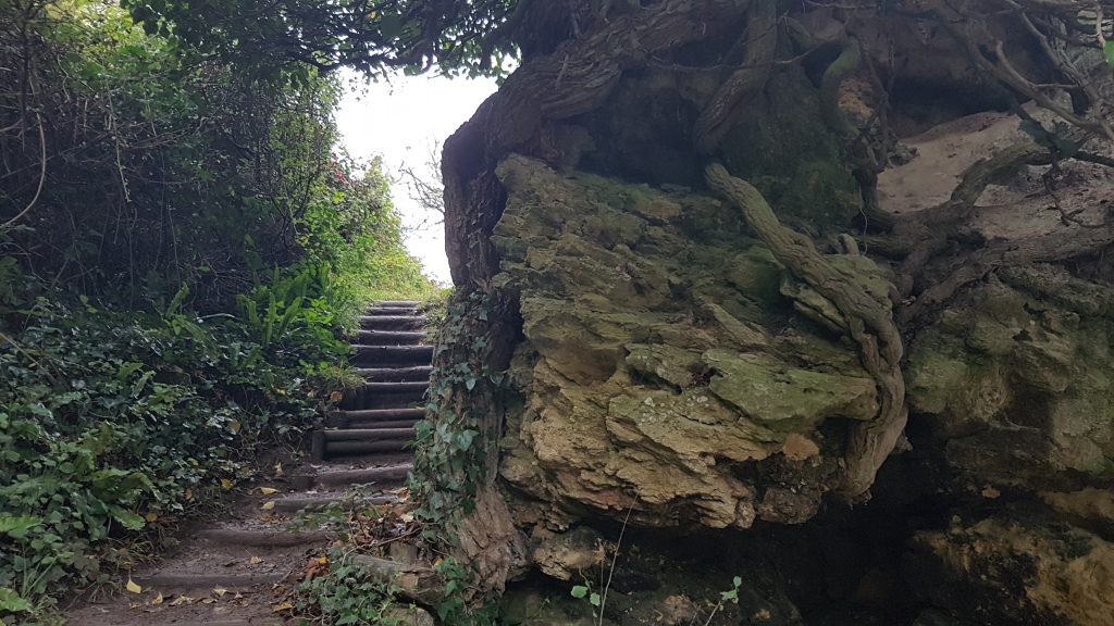
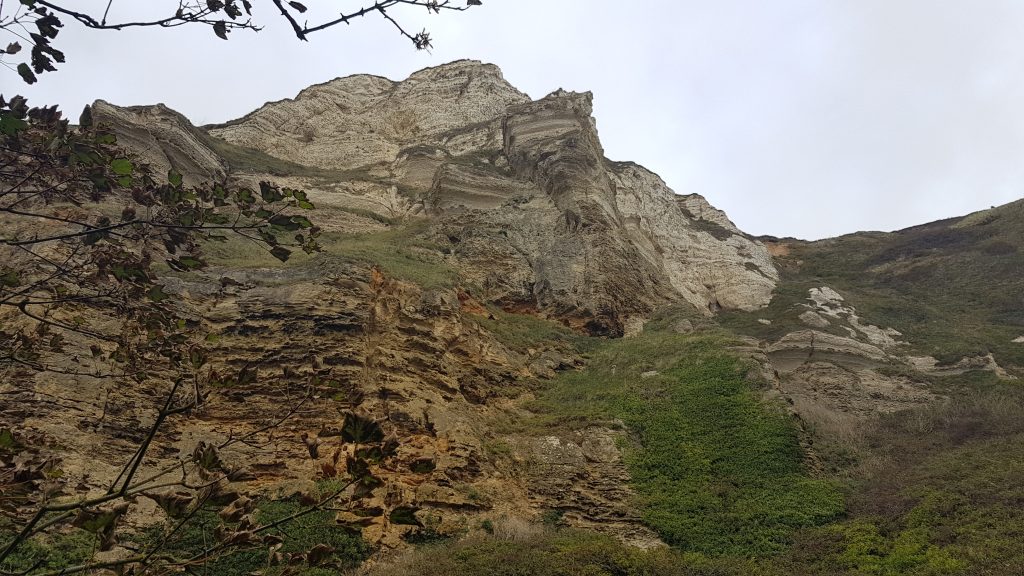
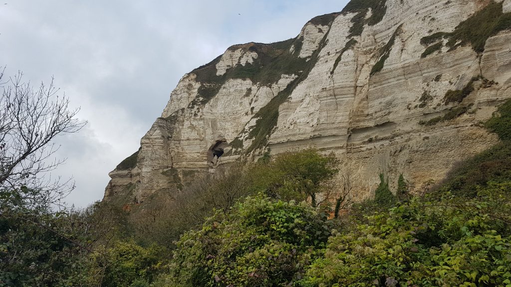
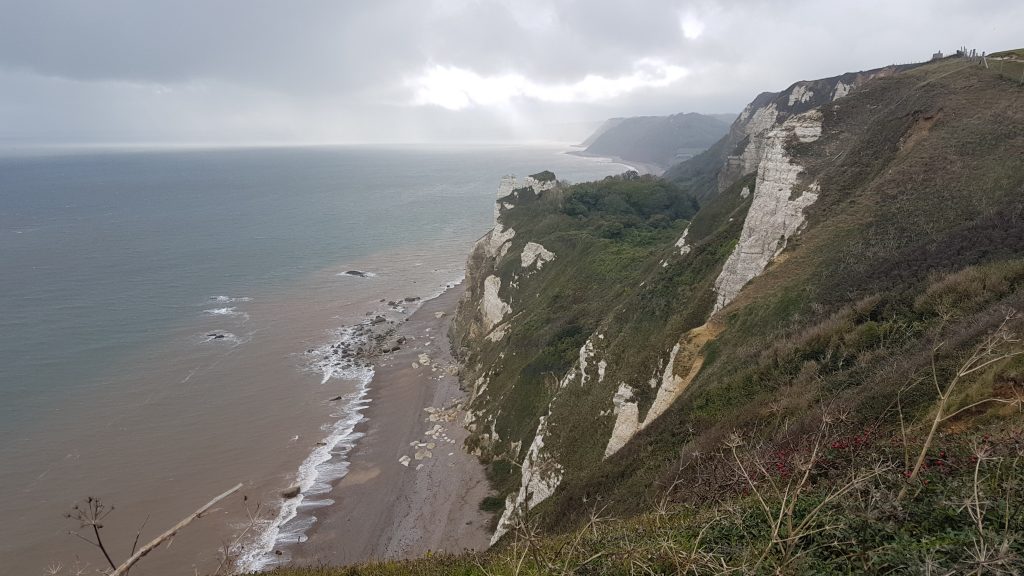
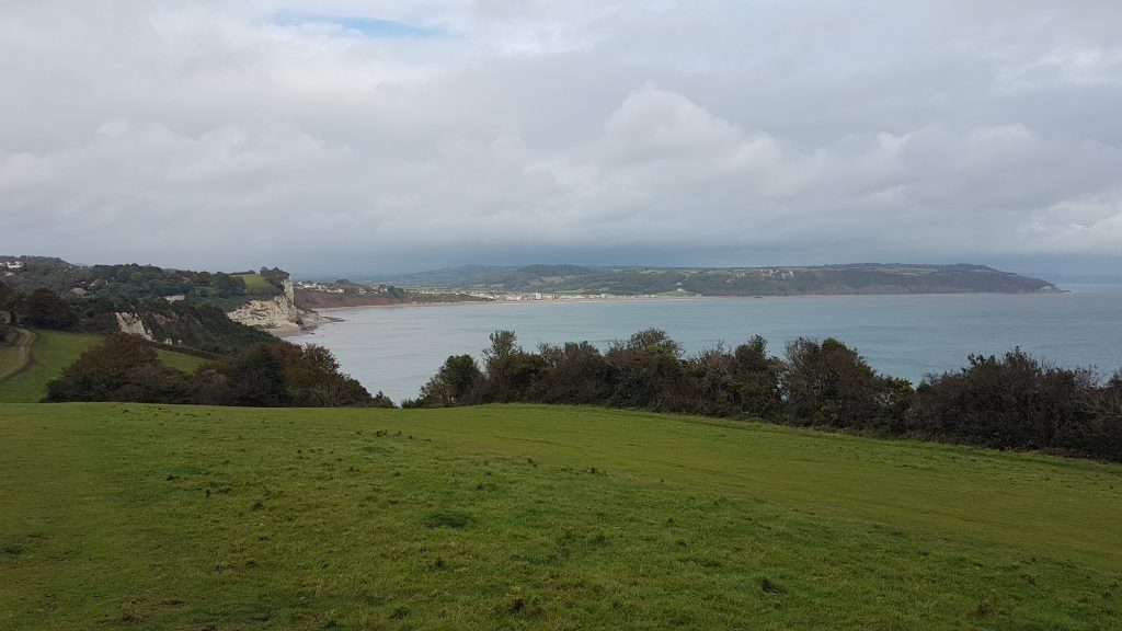
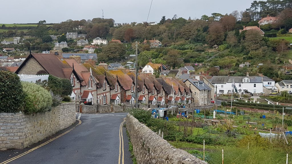
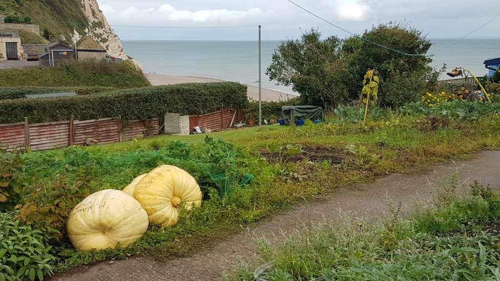
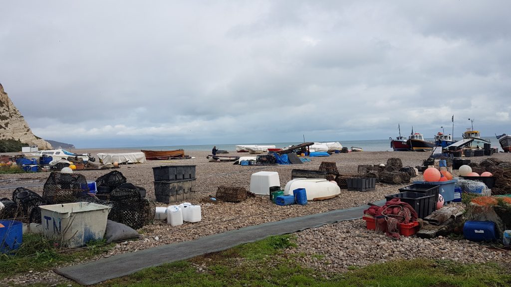
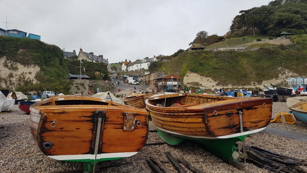
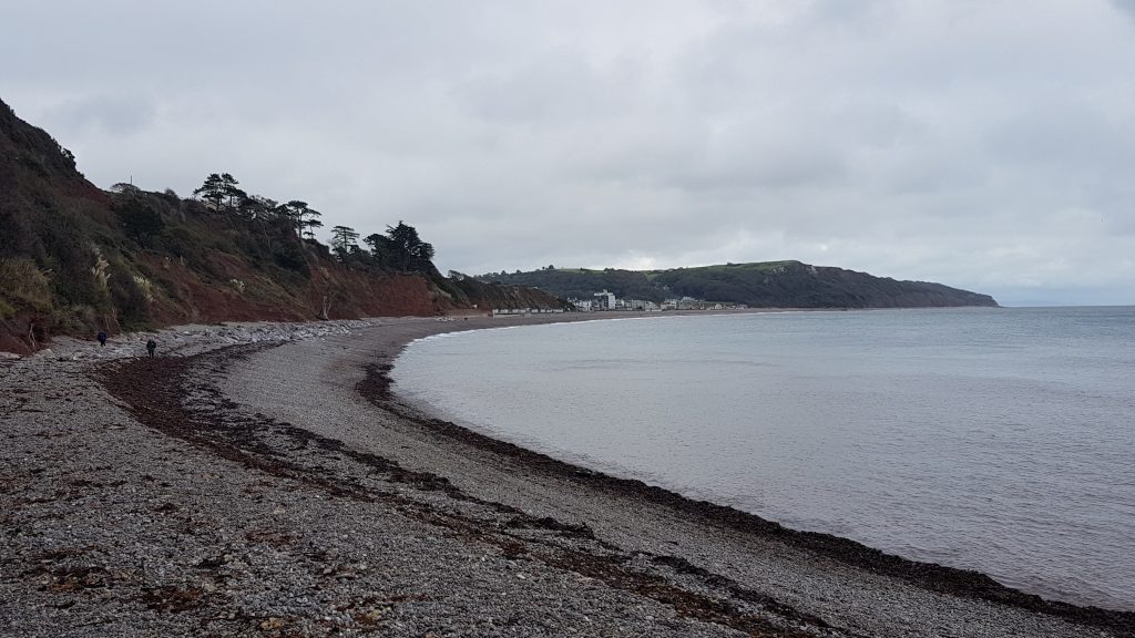
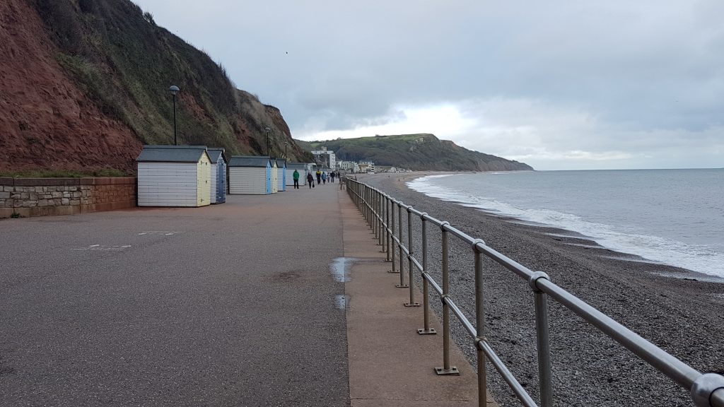
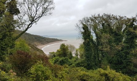
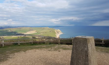
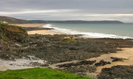
Sidmouth, looking east to the deep red cliffsI didn’t manage to get very far before the first obstacle. It’s great that they are replacing the bridge, and moving it inland to make it more resilient to storms and sea-level rises, but any work that remains to do on it is clearly very minor. The inadequacies of the surfacing weren’t apparent, but any risk they might have presented is dwarfed by the risks of the rest of today’s walk, so it was a bit frustrating to have to start with a badly-signed diversion.The next bridge up takes me over the river, site of this prolonged ford.After the diversion, I’m finally on Salcombe Hill Cliff, looking back to Sidmouth.Further ascent, confusingly signed through woodland, has brought me to the top, where this stone memorialises the gift of access to the land. An easy stroll along the level ground then followed for a little while.However, there is soon the first significant decent of the day, to cross the valley of Salcombe Mouth, and immediately ascend the other side – though part-way up the far side I found a bench and stopped for lunch.The first chalk I saw on this walk, heralding the transition from red sandstone to white chalkLooking down into Salcombe Mouth, with two people enjoying the view.On the descent into Salcombe Mouth, I stopped for a little exploration. This is part of Weston Plats, until the 1960s a series of small fields whose favourable microclimate and seaweed-enriched soil produced a range of early vegetables, fruit and flowers, some sent as far as London. It became uneconomic to farm and is now wilderness.This is a linhay, typical of many similar small buildings that were once scattered across the small fields of Weston Plats, used for storage of tools and crops, and for the donkeys that worked some of the land.Heading down to the beach at Weston MouthThe steps disgorging the path onto the beach are just visible next to where the stream emerges from the steep valley and ends on the beach in this pool, making its way through the shingle to the sea.The path runs for a few metres along the shingle beach before regaining height rapidly to bring me onto Weston Cliff, with Weston Mouth and its pool of water from the stream just visible about halfway along the beach seen here.At Berry Cliff the path turns inland for a short while, providing a change of sceneLooking down on the village of Branscombe before descending to Branscombe Mouth.The demand for ice cream must have moderated somewhat with it being a slightly drizzly day in October, but it was superb ice cream, with some extra energy from a rare full-sugar Coke. They even have ice cream treats for dogs, but I didn’t test them.Climbing away from the facilities of Branscombe MouthThere is then a short section through holiday lodges and caravans, some clinging to the steep slopes – a grand spot for a holiday, especially now when it is quieter.The path continues to climb, including between rock some of which has provided a surprising home for a tree.The path runs along undercliffs beneath the impressive Hooken Cliffs of chalk above sandstone.My route of ascent has been through the woodland of Under Hooken seen centre, before climbing a steep zig-zag to gain the cliff tops. We are well and truly in chalk country now.After rounding Beer Head, looking past Beer (unseen, before the chalk cliff) to Seaton (centre picture).Descending into BeerLabelled pumpkinsThe beach at BeerAnother ascent and descent has brought me to Seaton Hole beach, from where it is just 550m along the beach to the Prom at Seaton, but hard going on the shingle. There is an alternative inland route when the tide is up, now even more inland than it used to be after the road fell down the cliffs into the sea, but as the tide was close to low tide, this was the shorter and normal route.The walking along the shingle was hard work, but soon over and the remainder of the walk is the full length of the prom (which forms the Seaton parkrun route) and back to the car.


 by
by