In which: hot weather reinforces the delights of woodland shade ● Corbyn and Thatcher appear to me ● Torquay reveals many facets ● what goes down inevitably goes up again ● they are strict in Babbacombe – but make interesting beach paths ● a cliff railway teases ● I see arches ● a ferry conveys me to ice-cream
Date: 20 June 2022 Time of walk: 0850 to 1515 * Today’s walking: 21.2 km * Progress along SWCP: 20.9 km Estimated ascent: 950 metres
* plus earlier link to station
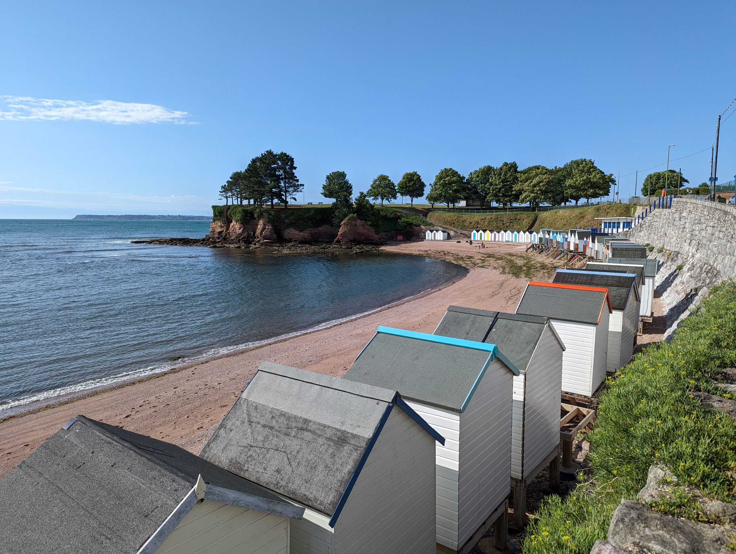
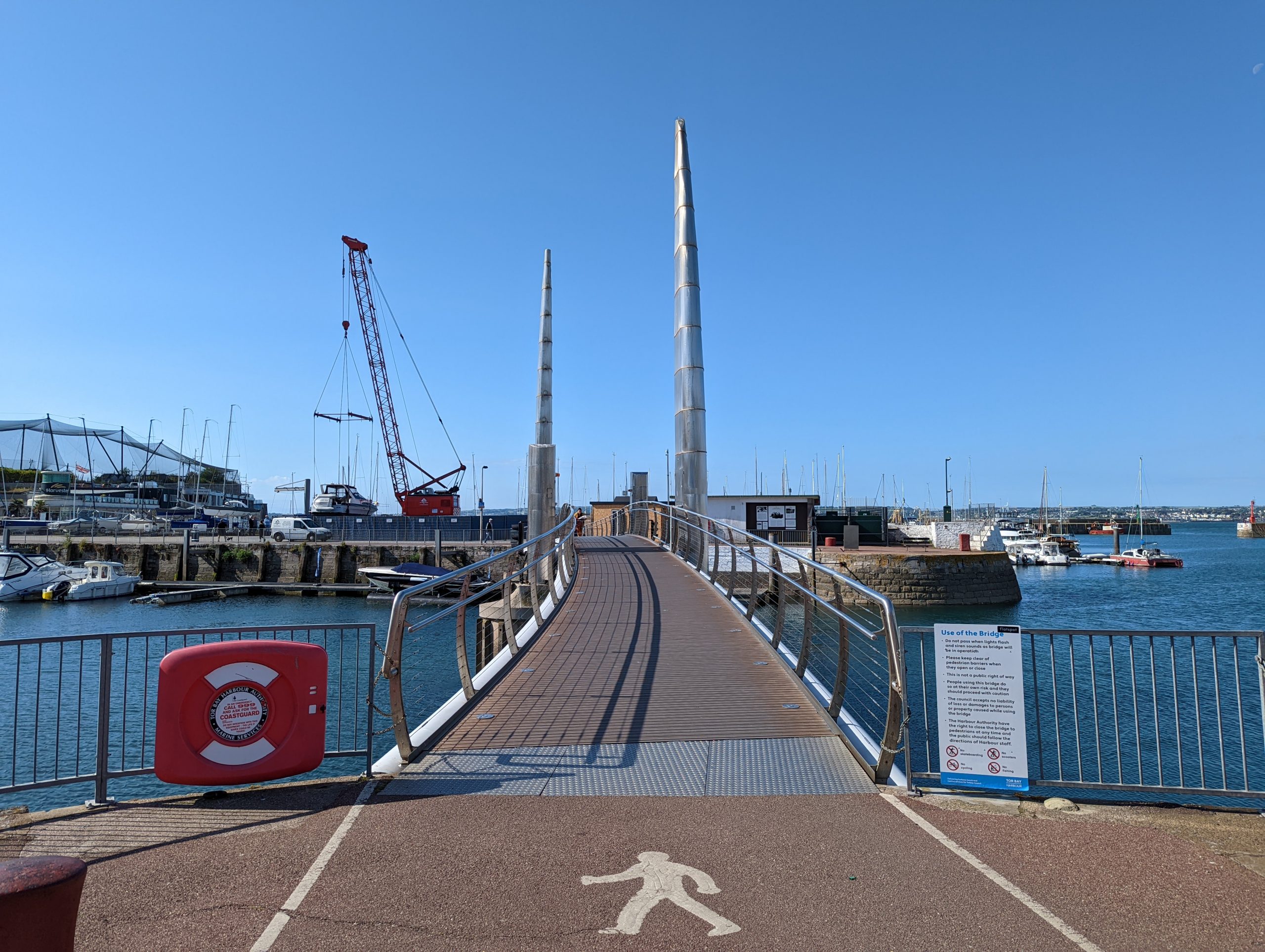
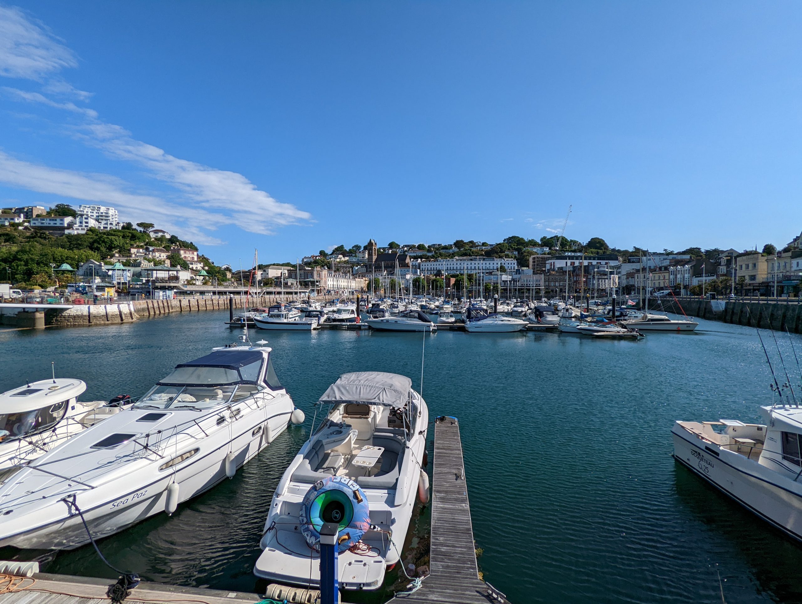
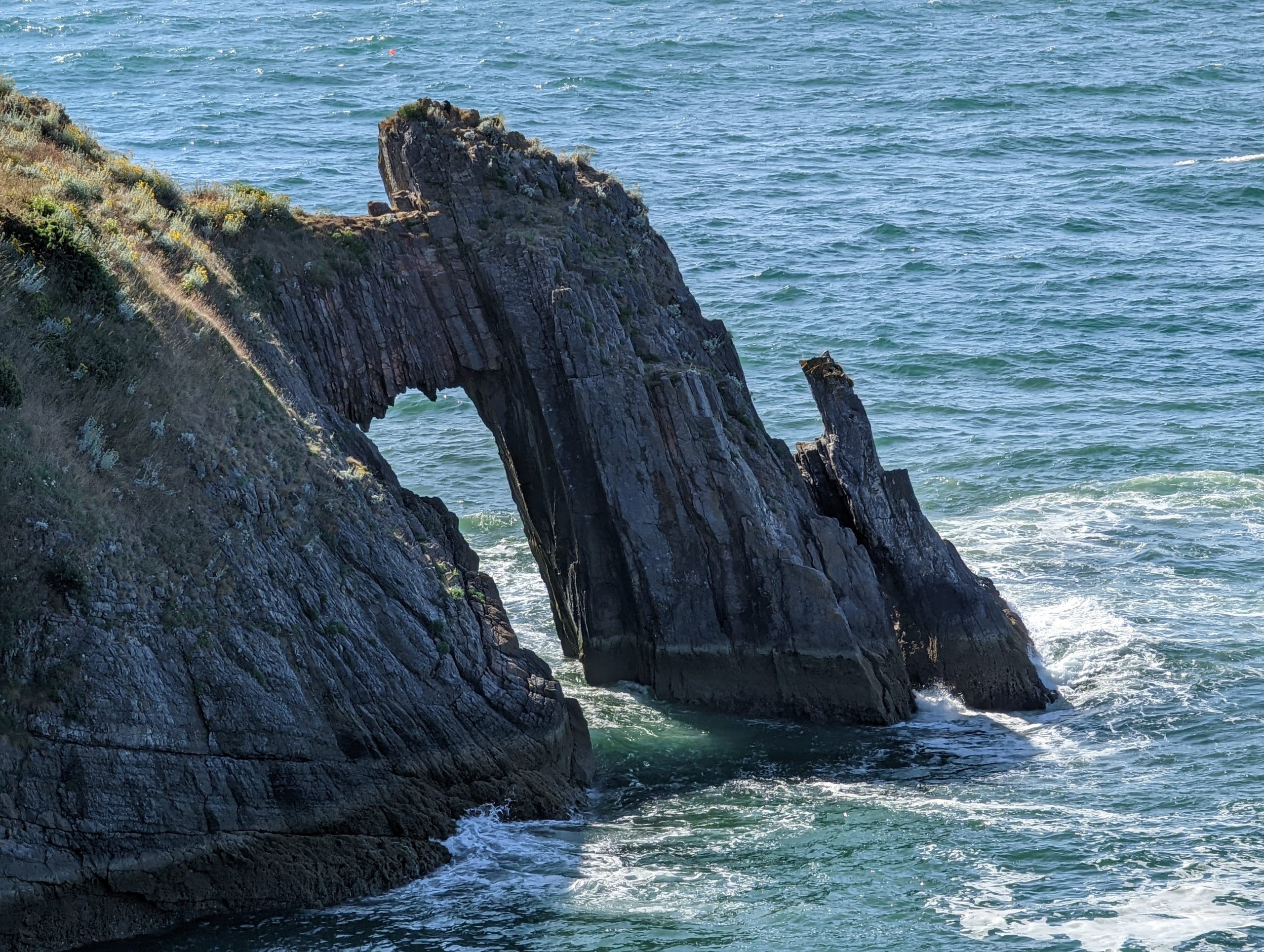
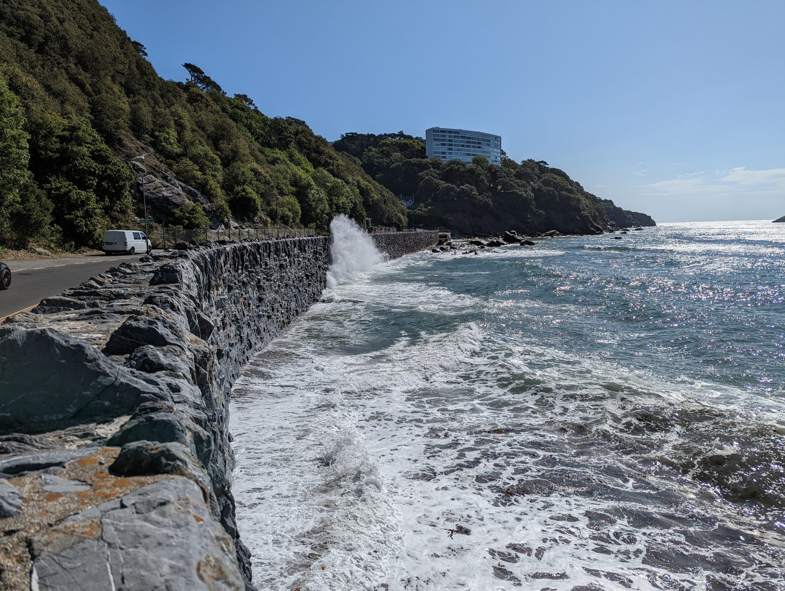
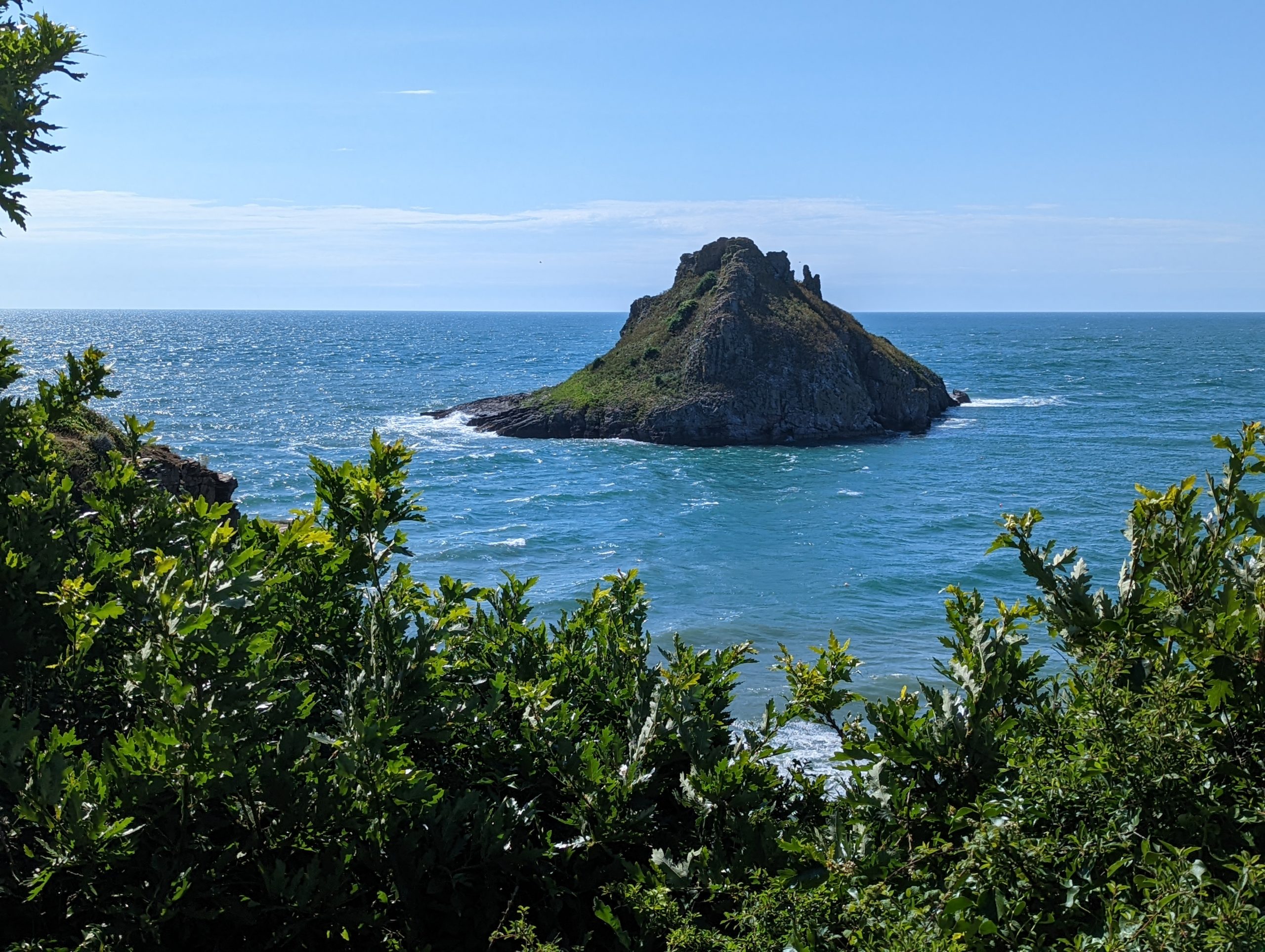
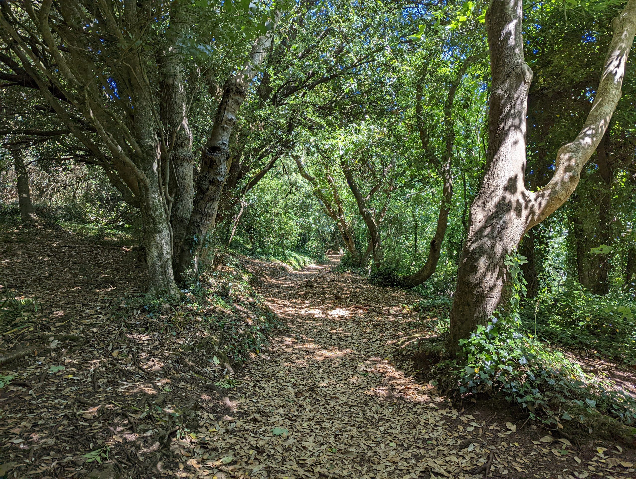
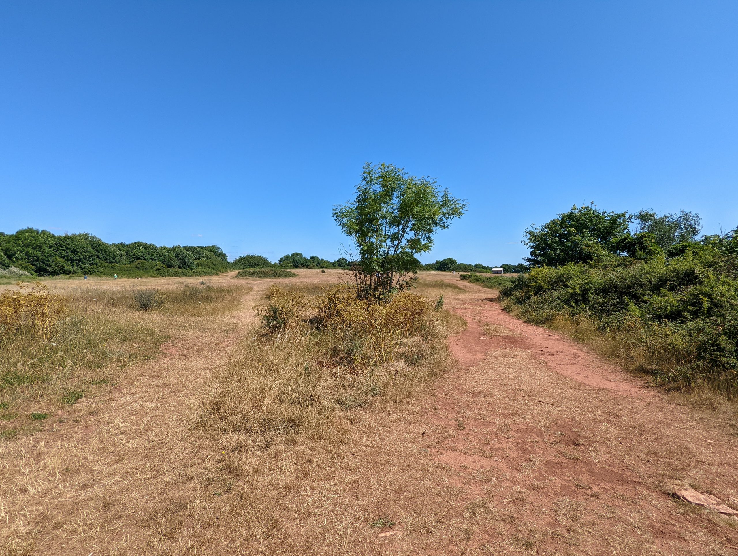
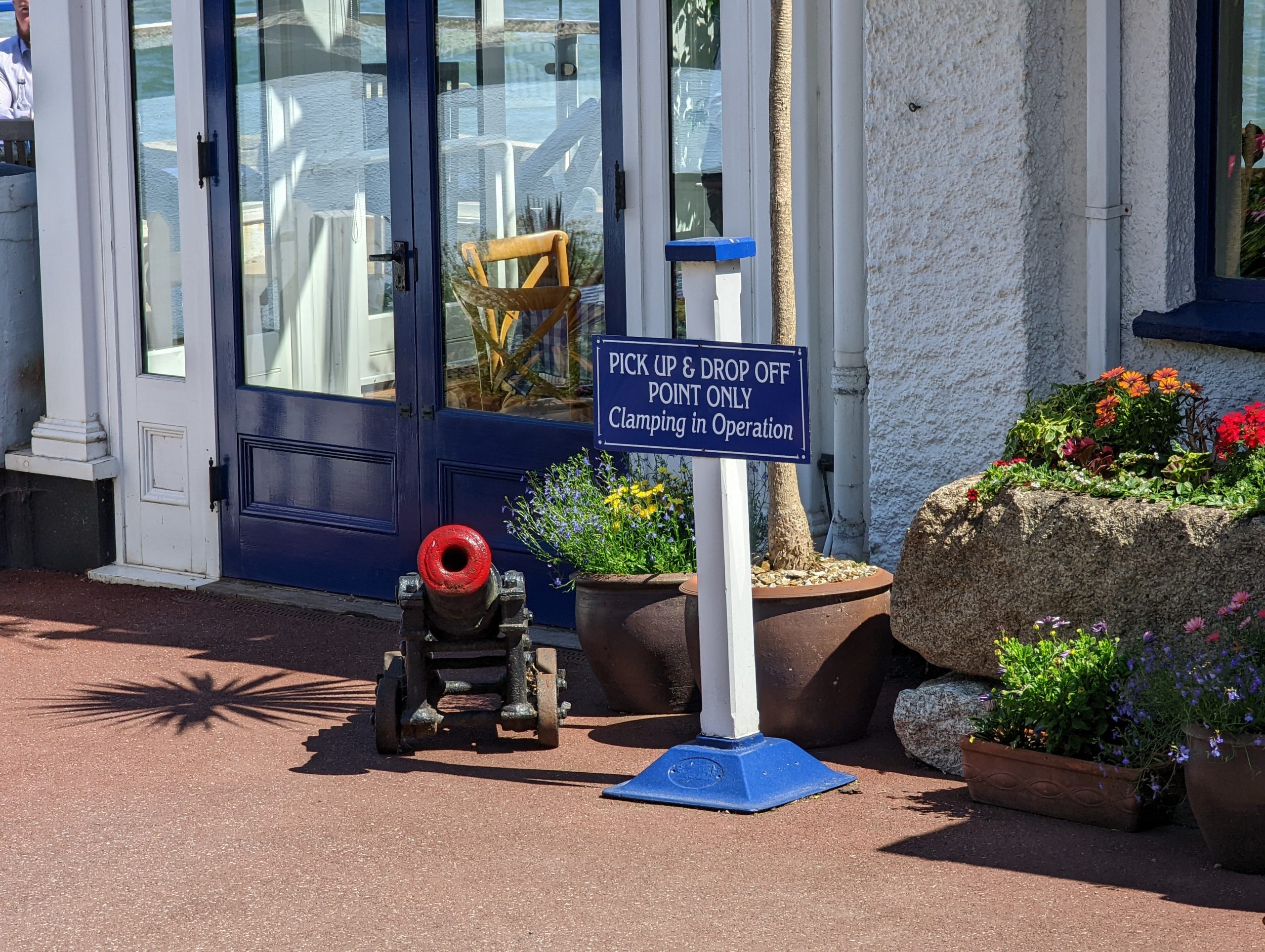
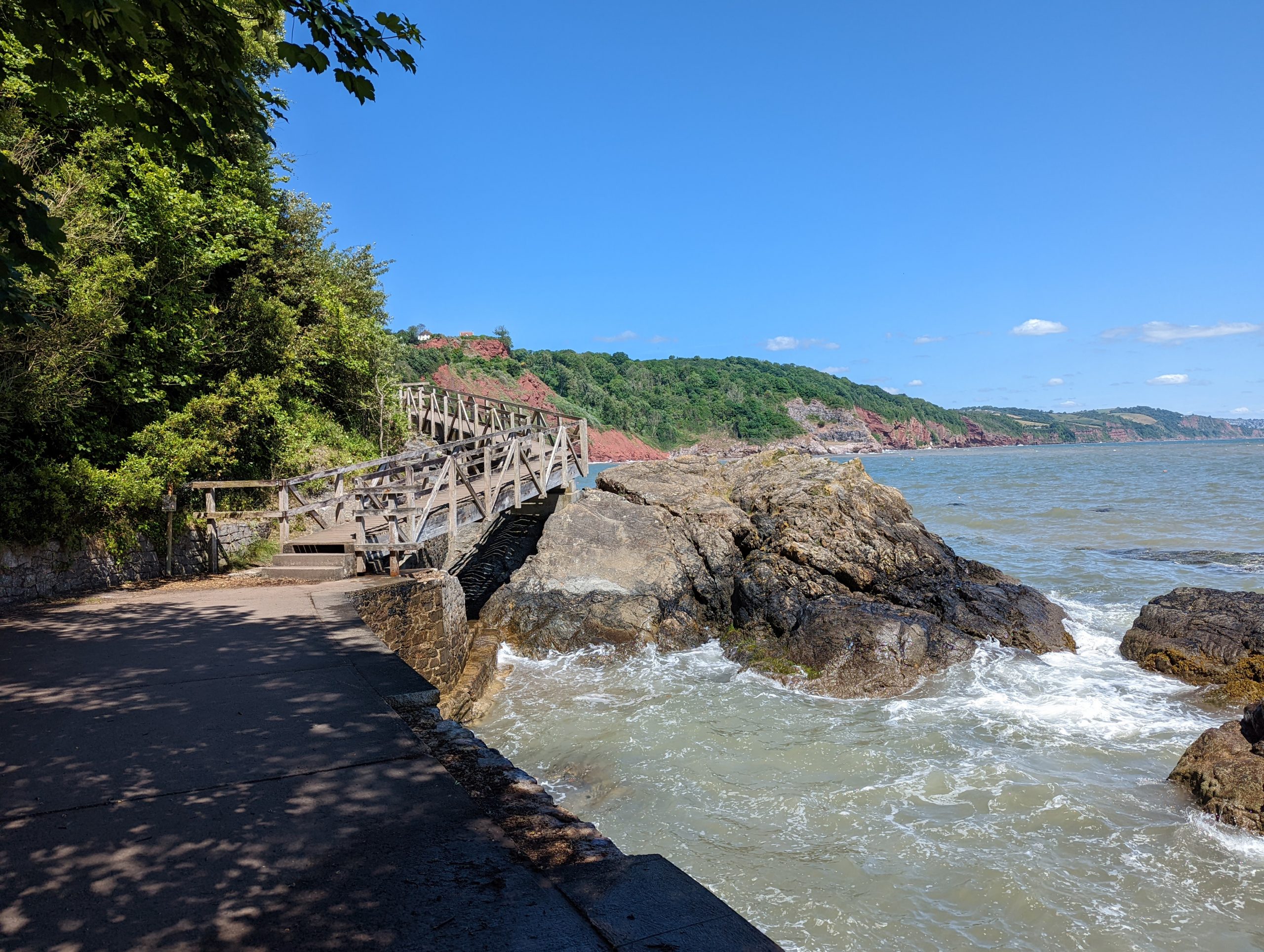
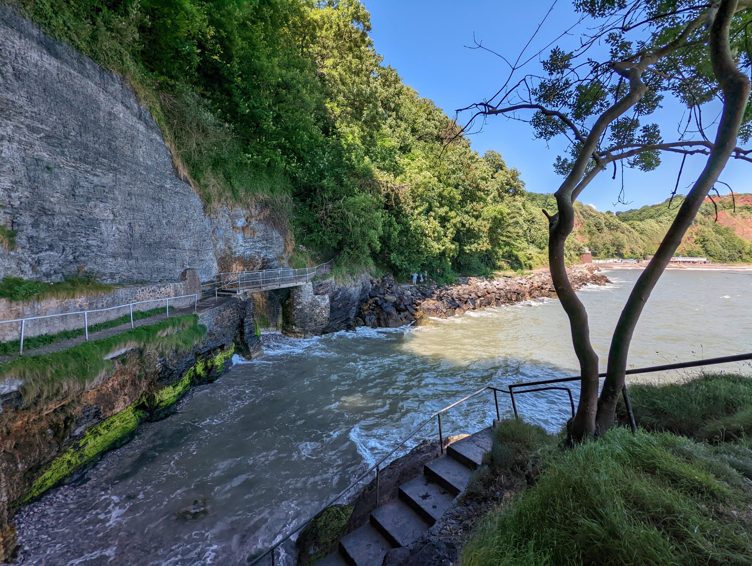
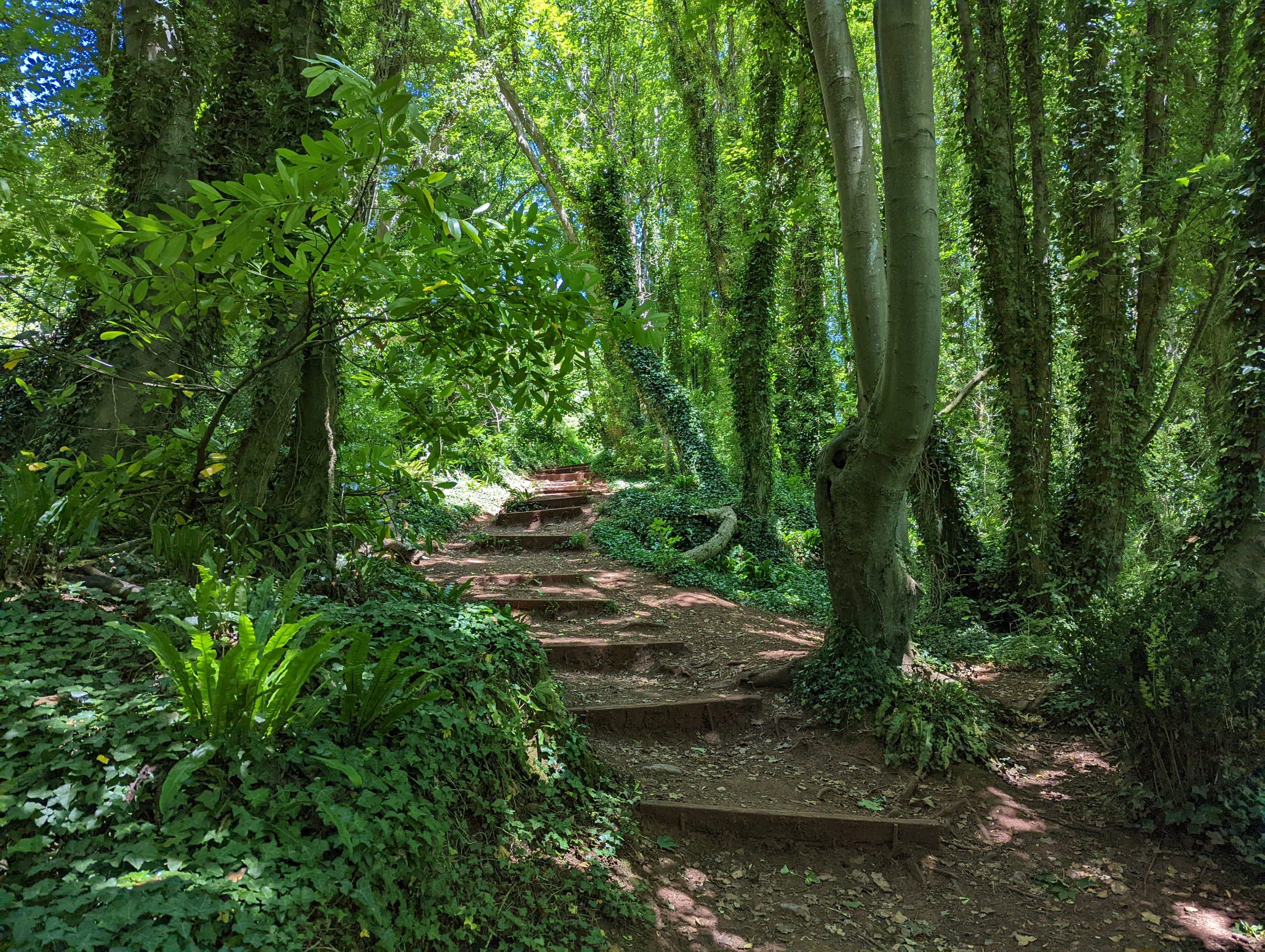
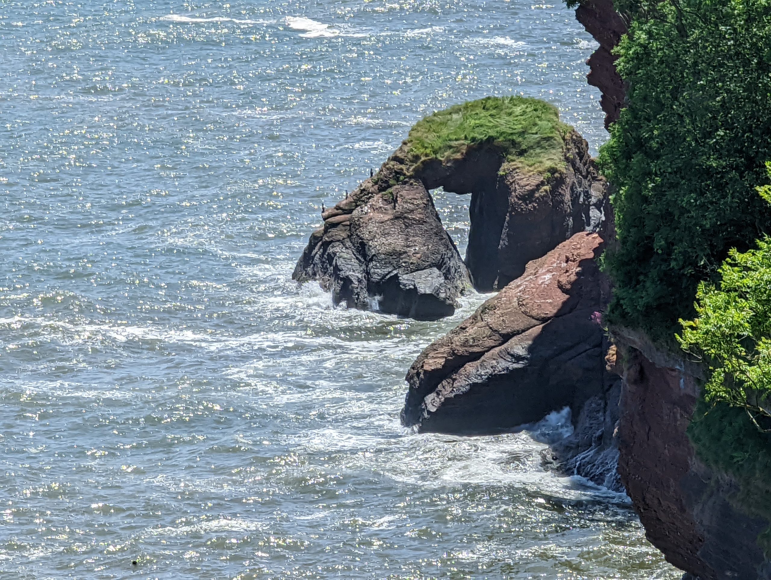
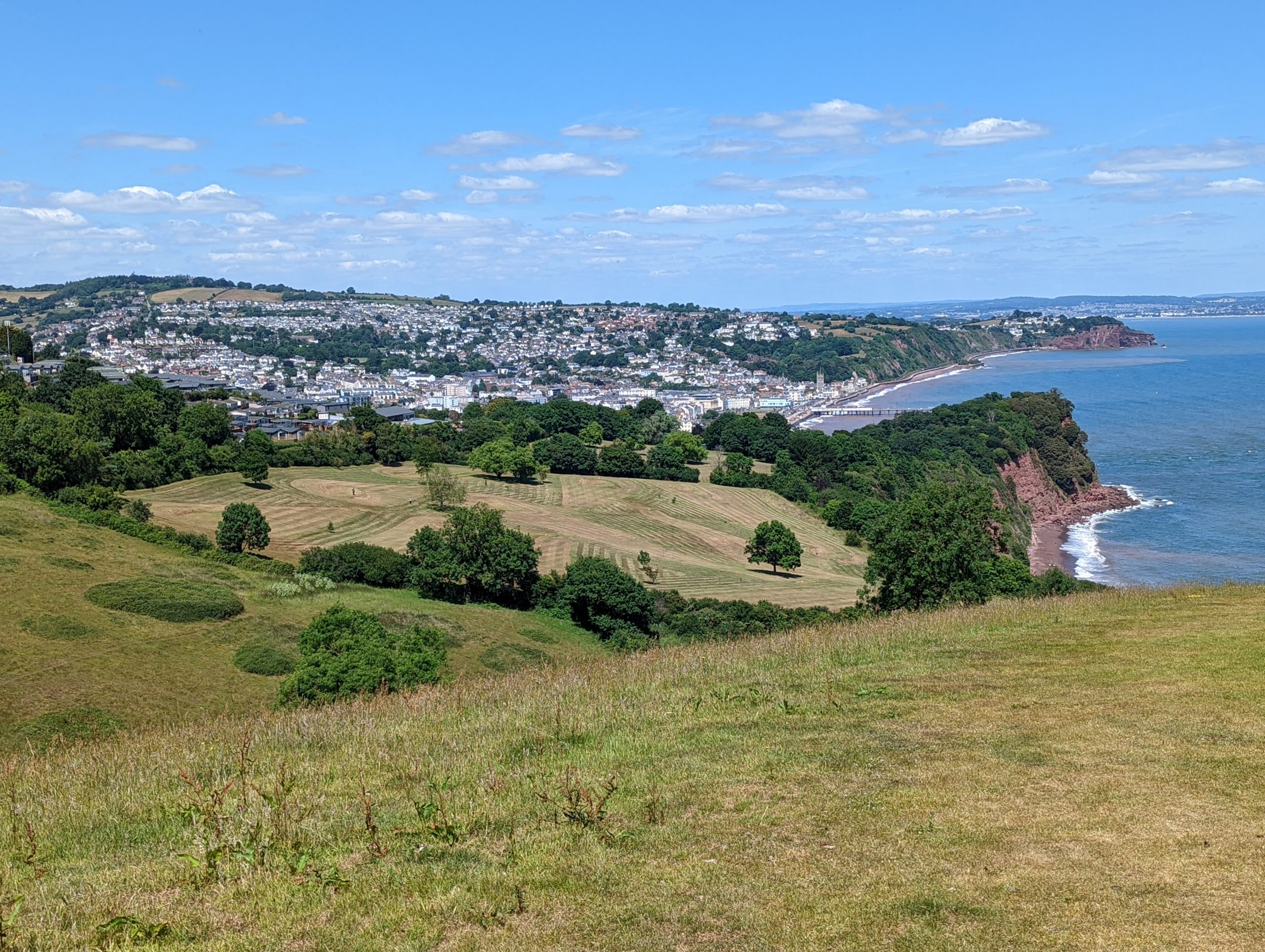
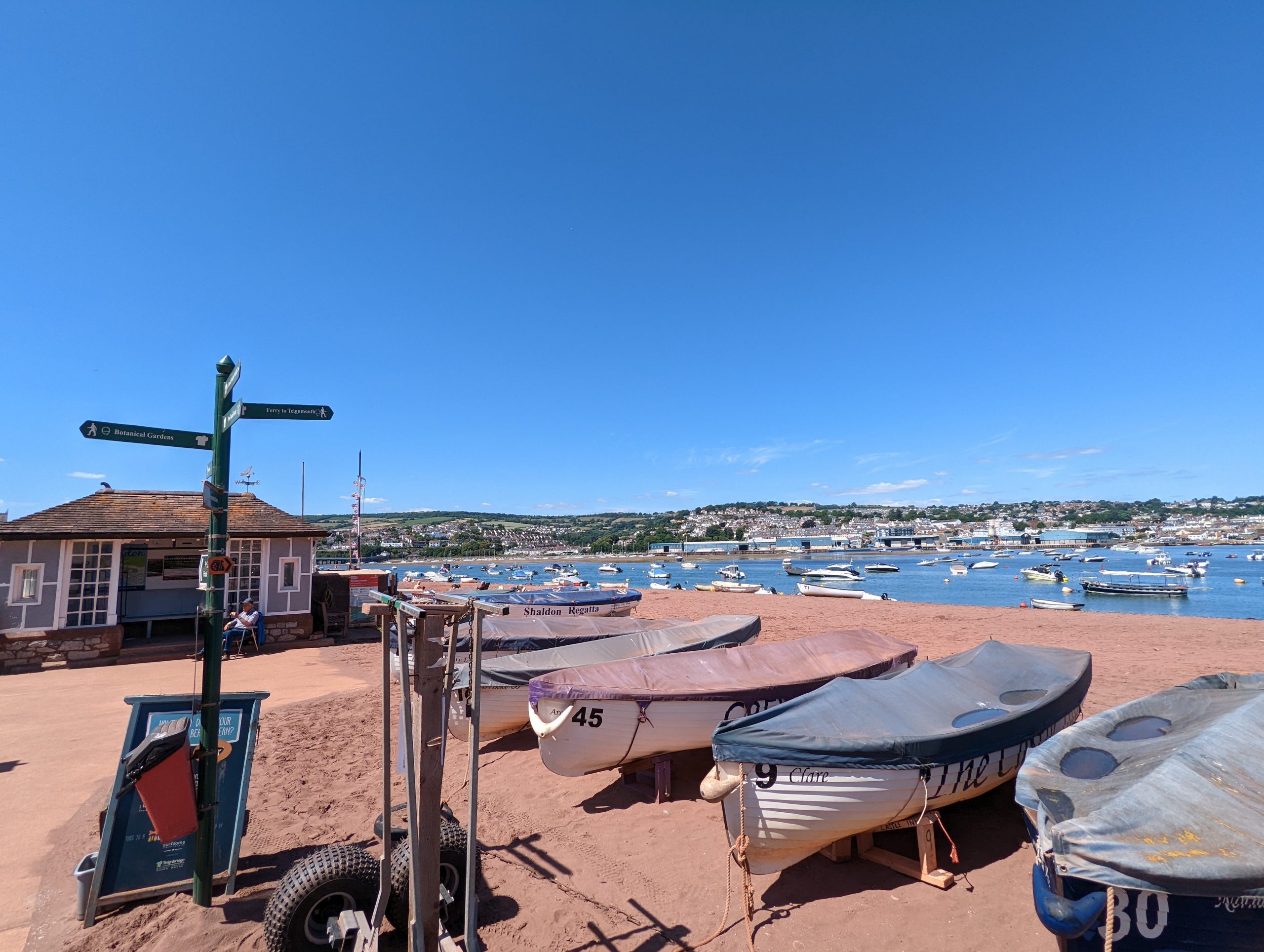
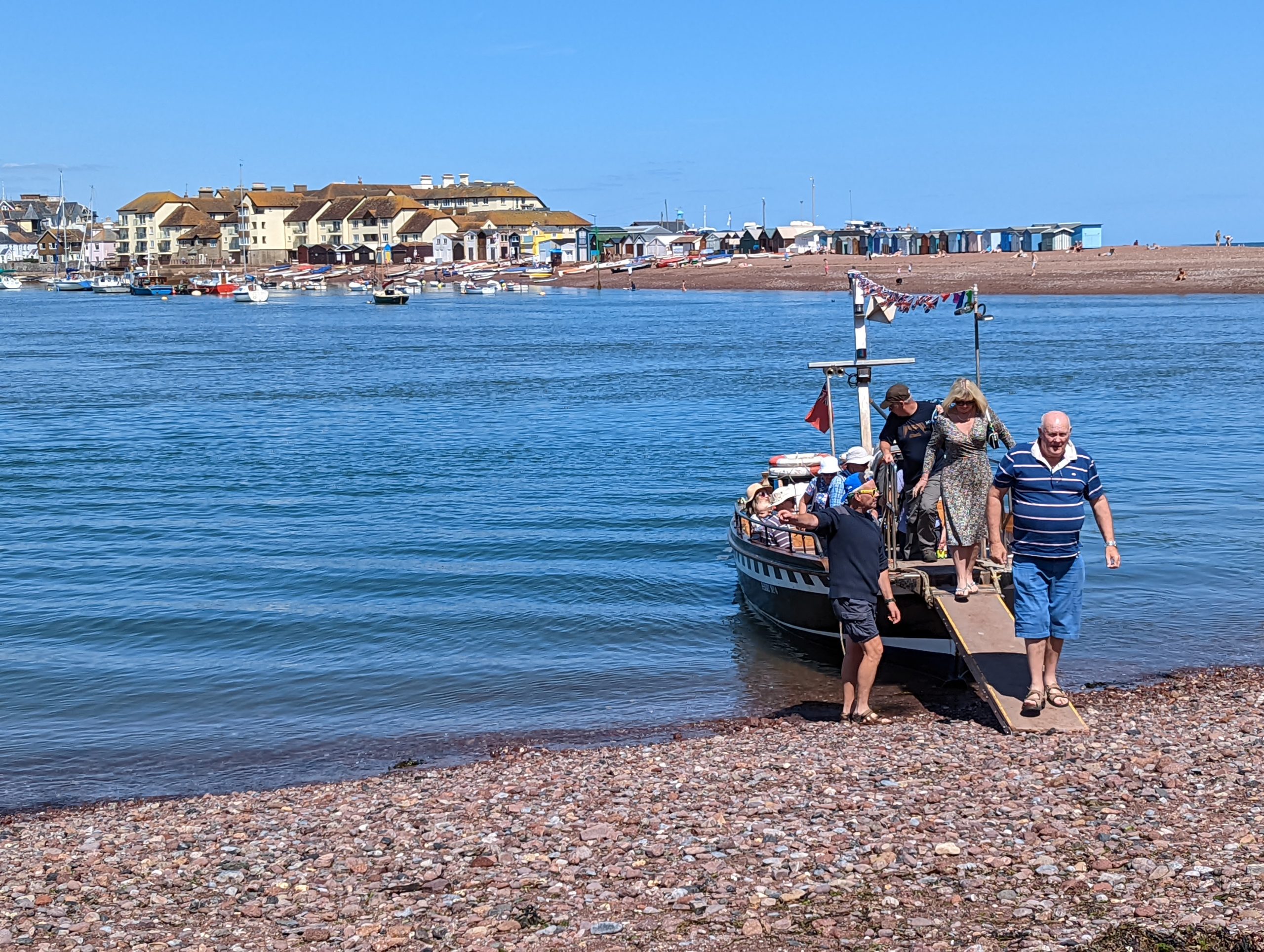
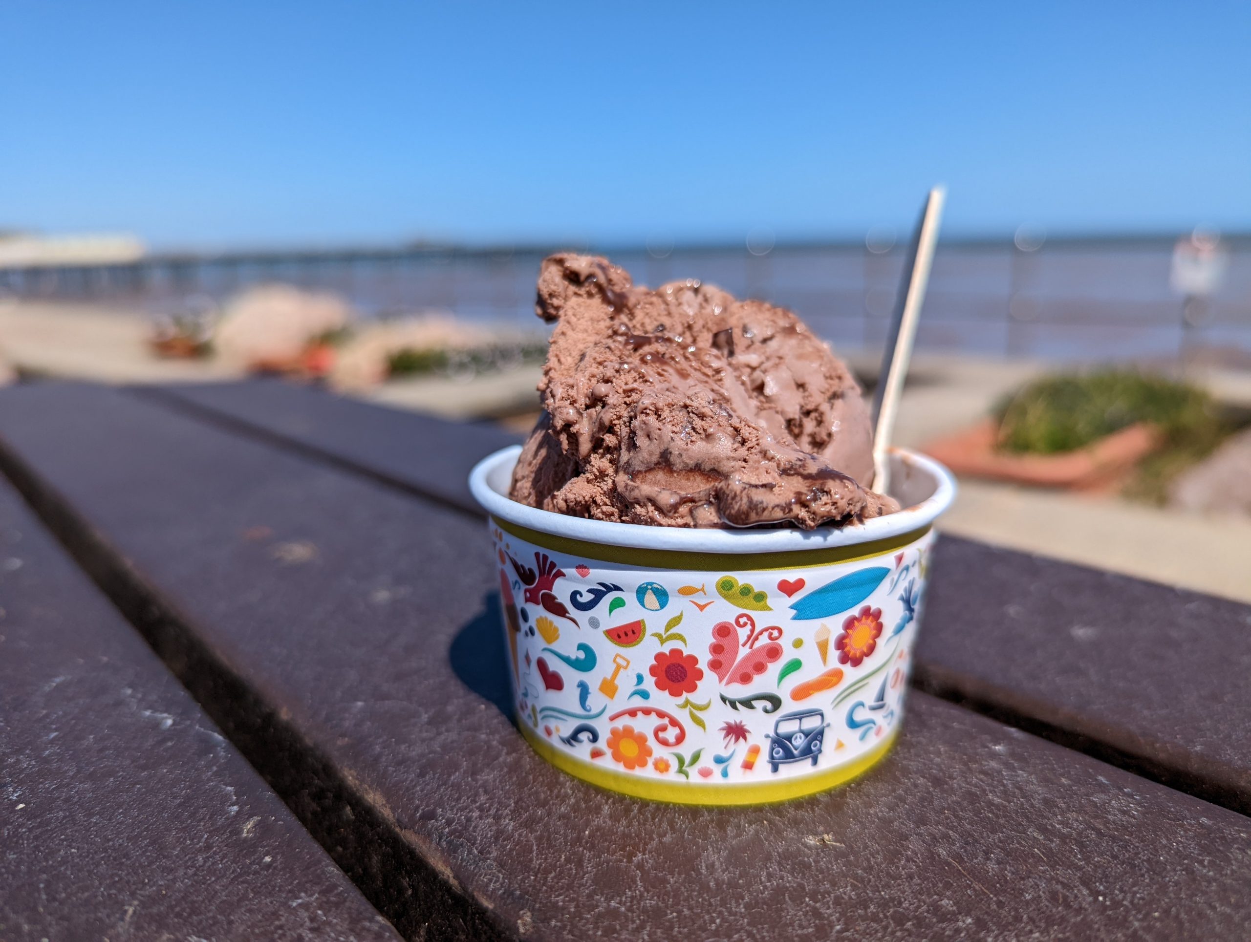
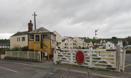
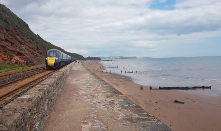
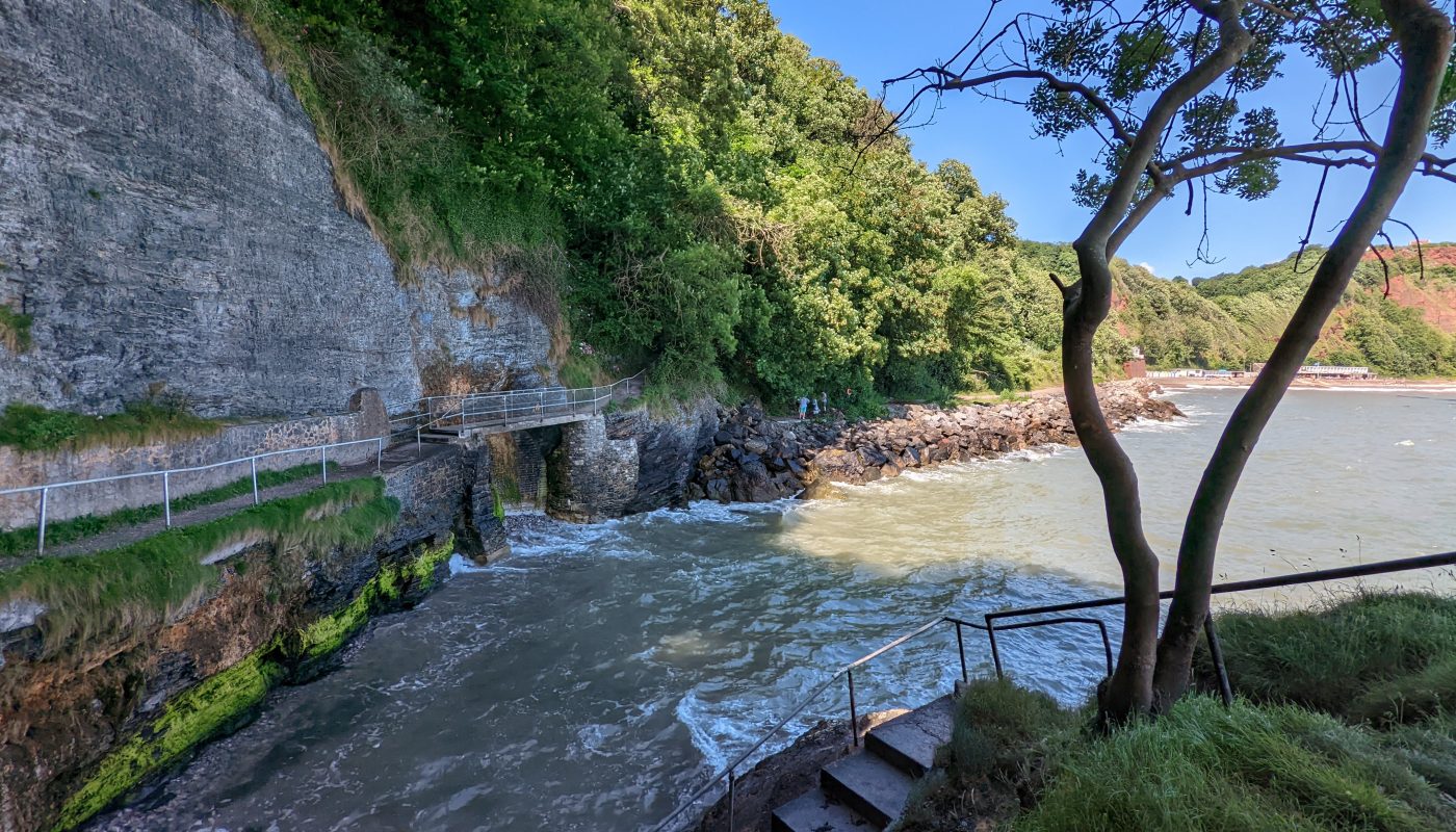
I parked the car at Teignmouth and got a train from there to Torquay station from where it is just a short walk to the South West Coast Path at Corbyn’s BeachA walk along the neatly manicured beach and then a bit of promenade took me to the marina and harbours, with this modern bridge providing a linking route for pedestrians through the busy harbour area.Torquay’s inner harbourThe SWCP then climbed up the cliffs before descending a little between high stone walls. A sign pointed left for the South West Coast Path, or straight on for “View Point of London Bridge Arch”, and though I often feel a reluctance to deviate from the route, I decided to see what London Bridge Arch was. The piece of information missing from the sign was the trivial distance of only a few metres diversion to reach the view point, and here is the arch of London Bridge.I then climbed steeply to the top of the cliffs with their extensive views back over Torbay, and the lookout tower of the National Coastwatch Institution, before descending to the path and road along Meadfoot Beach where the waves were crashing gently against the sea wall.From Meadfoot Beach it was an ascent again past Kilmorie to Thatcher Point from where there was a view of Thatcher Rock – so named because the rocks on the right-hand side are said to resemble a thatcher at work on the slope of a thatched roof.I had a little exploration of Hope’s Nose, then it was some welcome shade from the hot sun in the woods around Black Head, the route here being known as Bishop’s WalkAfter the welcome woodland, it is time to cross the dry downs towards BabbacombeThey’re strict in BabbacombeA delightful route links Babbacombe and Oddicombecontinuing to Oddicombe, where I made a short diversion from the SWCP to the beach facilities and bought a welcome cold drink and sat on the steps above the beach for a few minutes.My route on was then up the beach access road, under the Babbacombe Cliff Railway twice before heading further north as I continued to gain height to the top of the cliffs.After a brief return to the urban fringe, there is a short walk along cliffs tops before descending through woodland above Shag Cliff, Smugglers’ Hole, Valley of Rocks, and others of evocative names.As I approach Maidencombe, there is a good view back to Bell RockMuch hot undulating cliff-top walking eventually brings me to this view of Teignmouth across the unseen river, and the accurately named Shaldon Approach Golf Course.I had a good exploration of The Ness, before descending to Shaldon. “Ferry to Teignmouth” says the fingerpost. I missed two ferries after falling into conversation with the chap sat in the chair next to the hut, just the two of us putting the world to rights, before I eventually peeled myself away and walked down the beach.Passengers disembark the ferry ready for my trip across the River Teign.Journey’s end – I dropped my bag off at the car and went in search of a celebratory ice-cream. Very good it was too.

 by
by