In which: The walk starts with two ferries ● I head south to go north ● the railway keeps us company ● diversions frustrate ● holiday parks make their presence felt ● road-walking fails to impress
Date: 10 August 2021
Time of walk: 1105 to 1440
Today’s walking: 14.1 km
Progress along SWCP: 13.1 km
Estimated ascent: 180 metres
Today was the third of four walks on the SWCP during our eight days in Dorset, but they were done out of sequence so as we travel together around the Path from Minehead, this comes first.
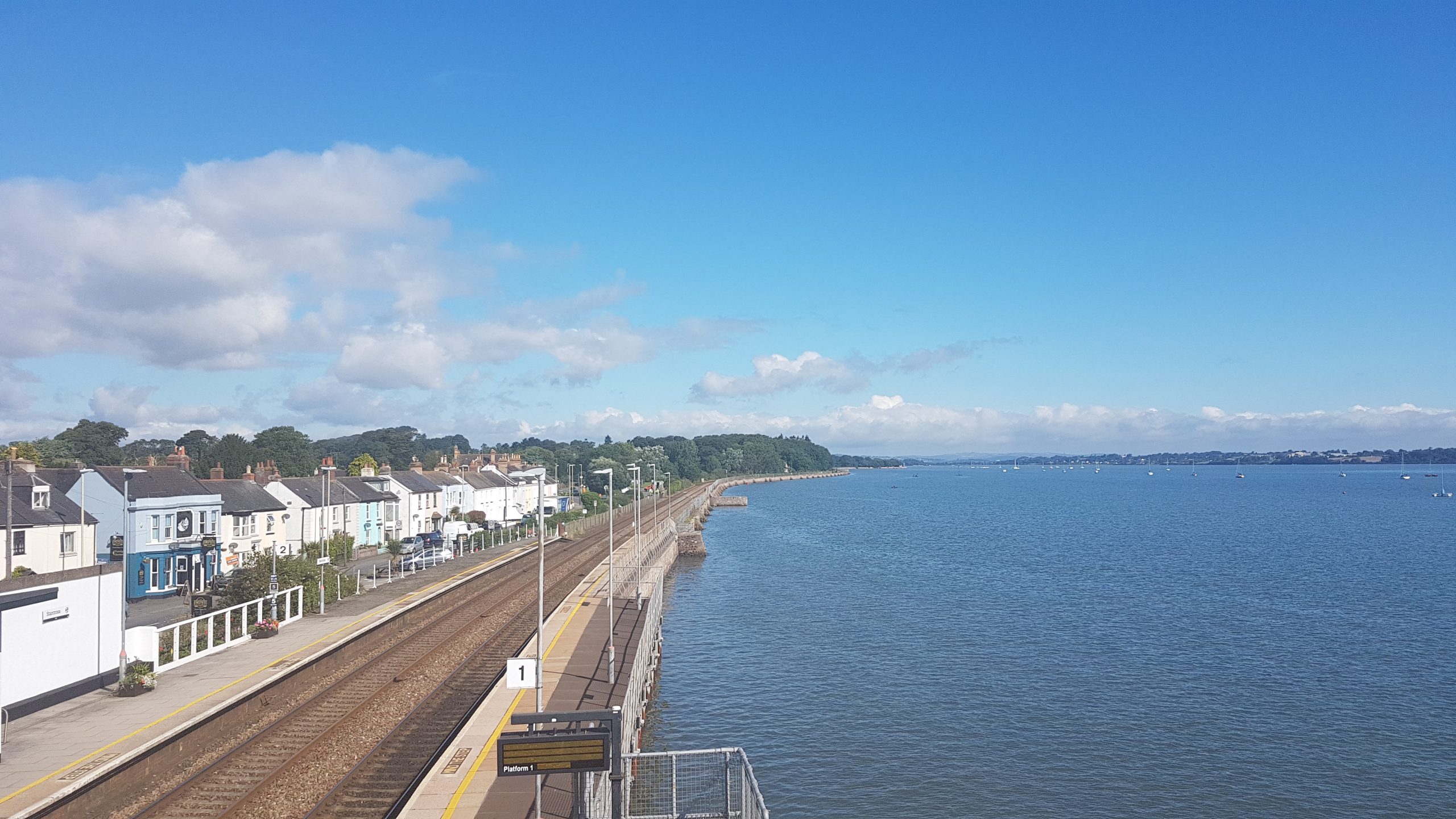
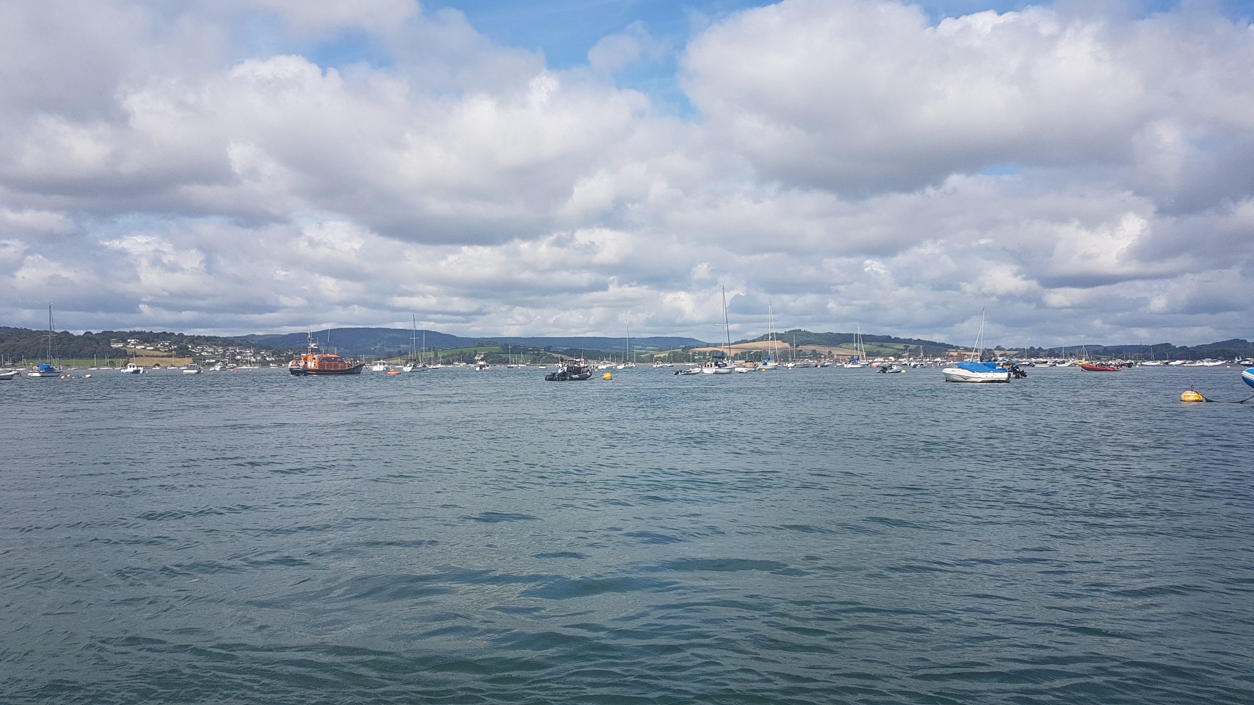
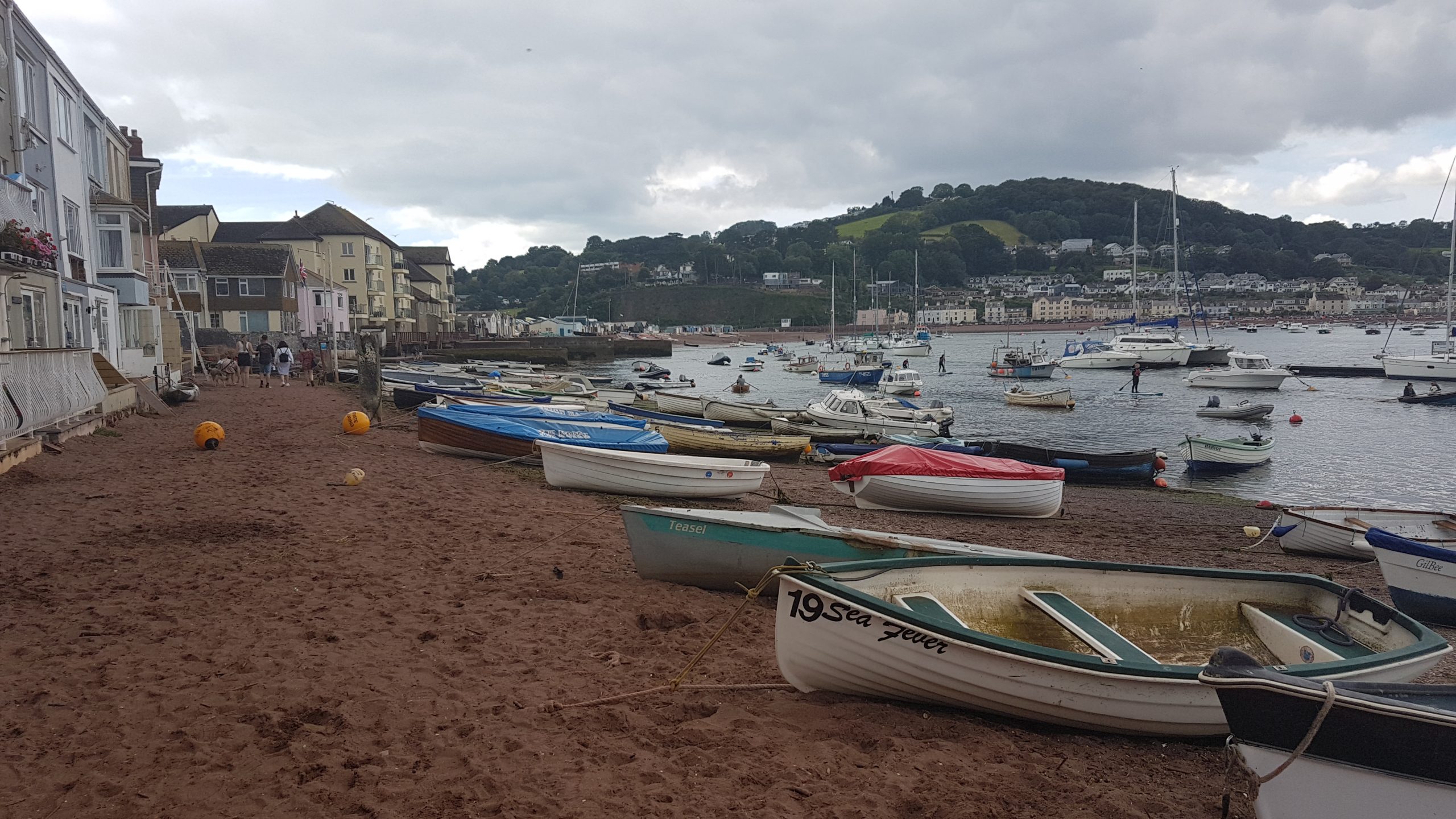
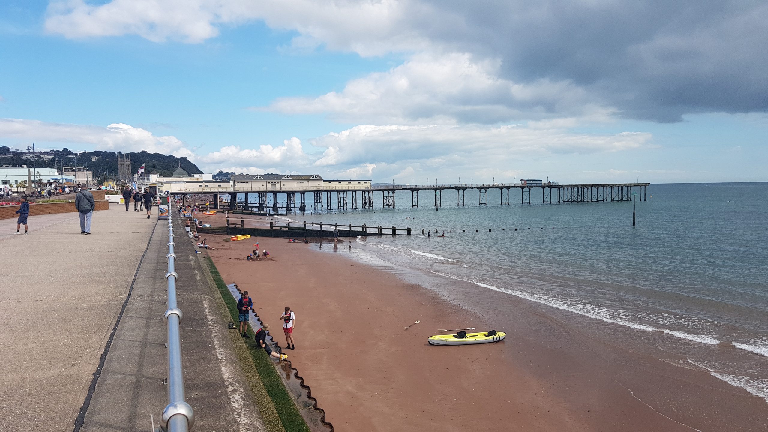
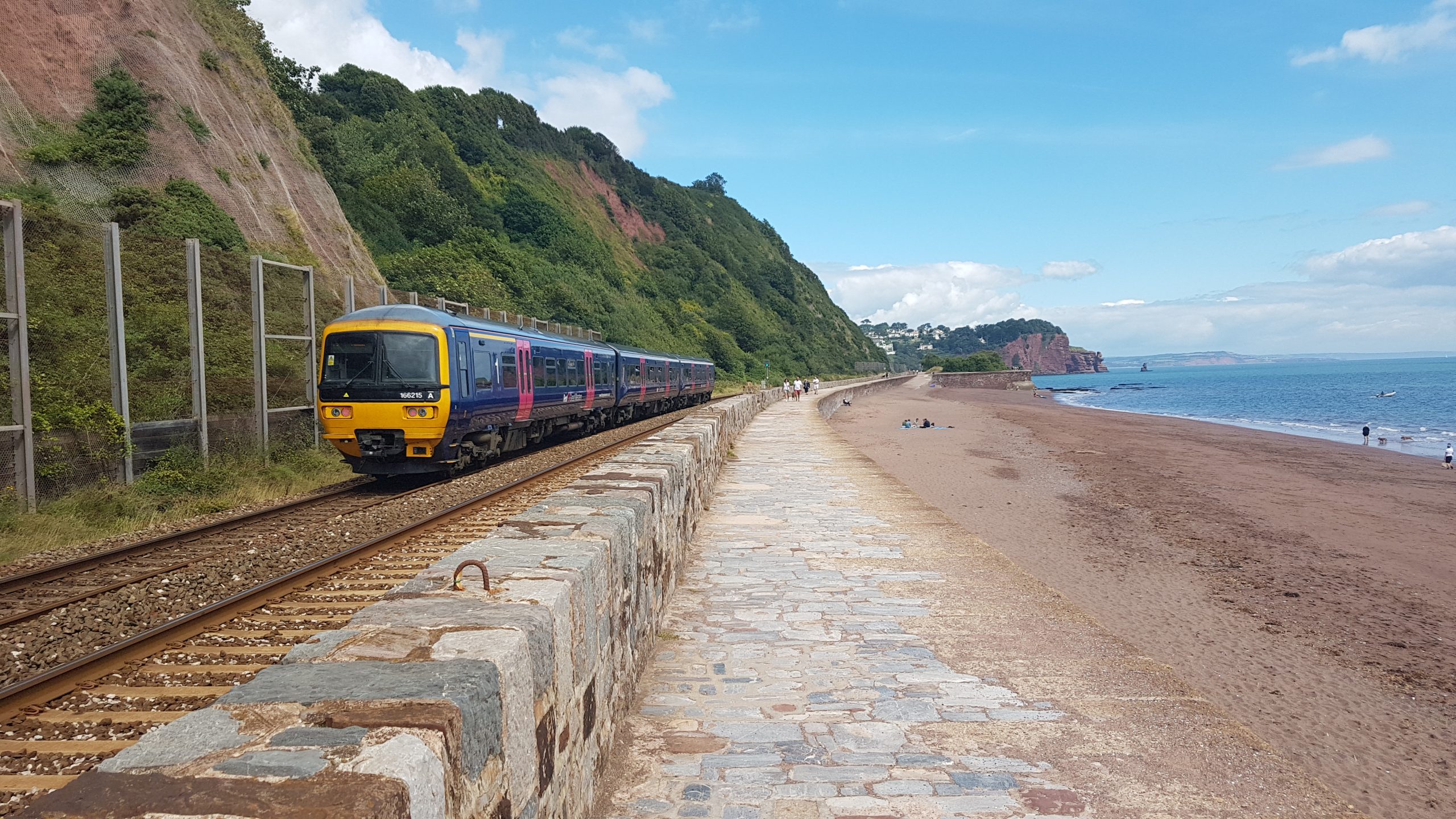
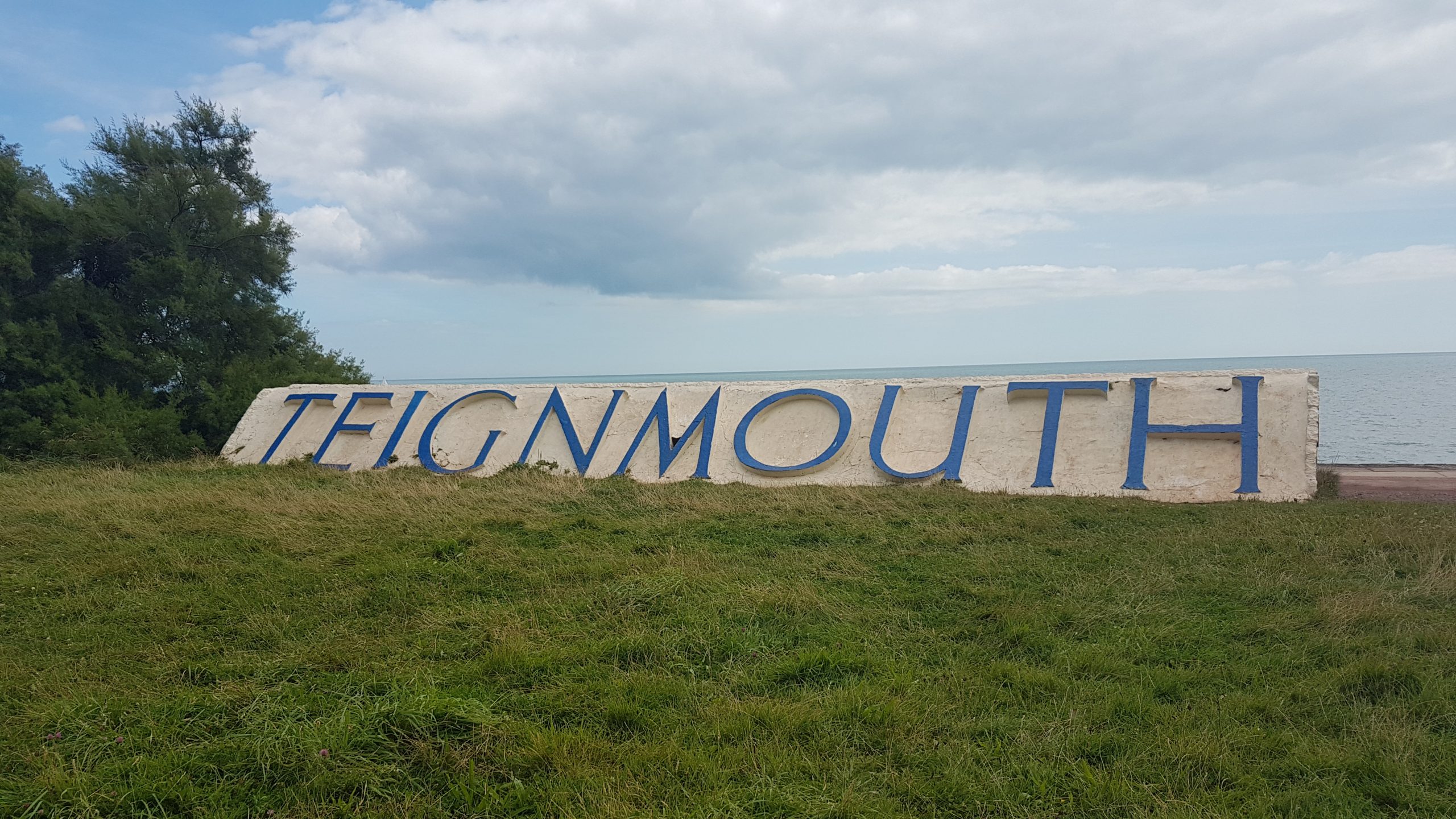
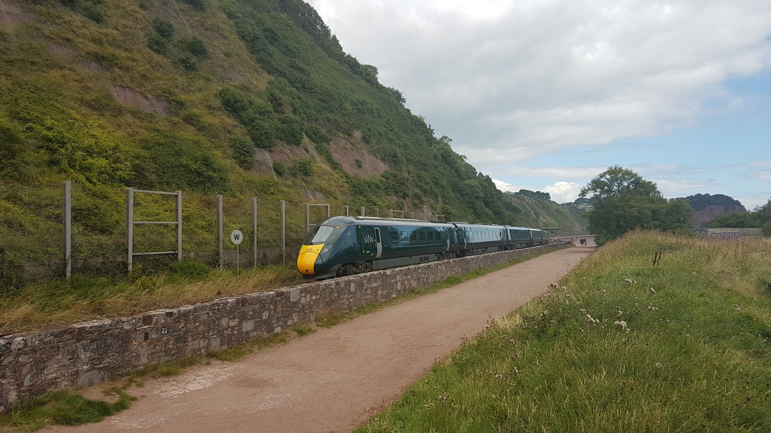
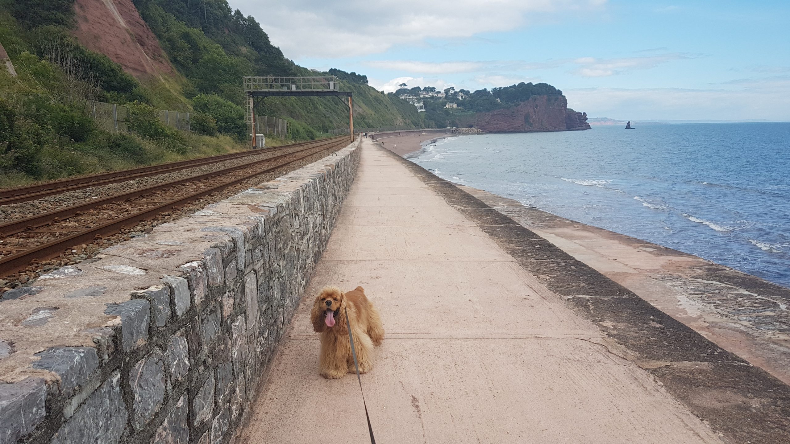
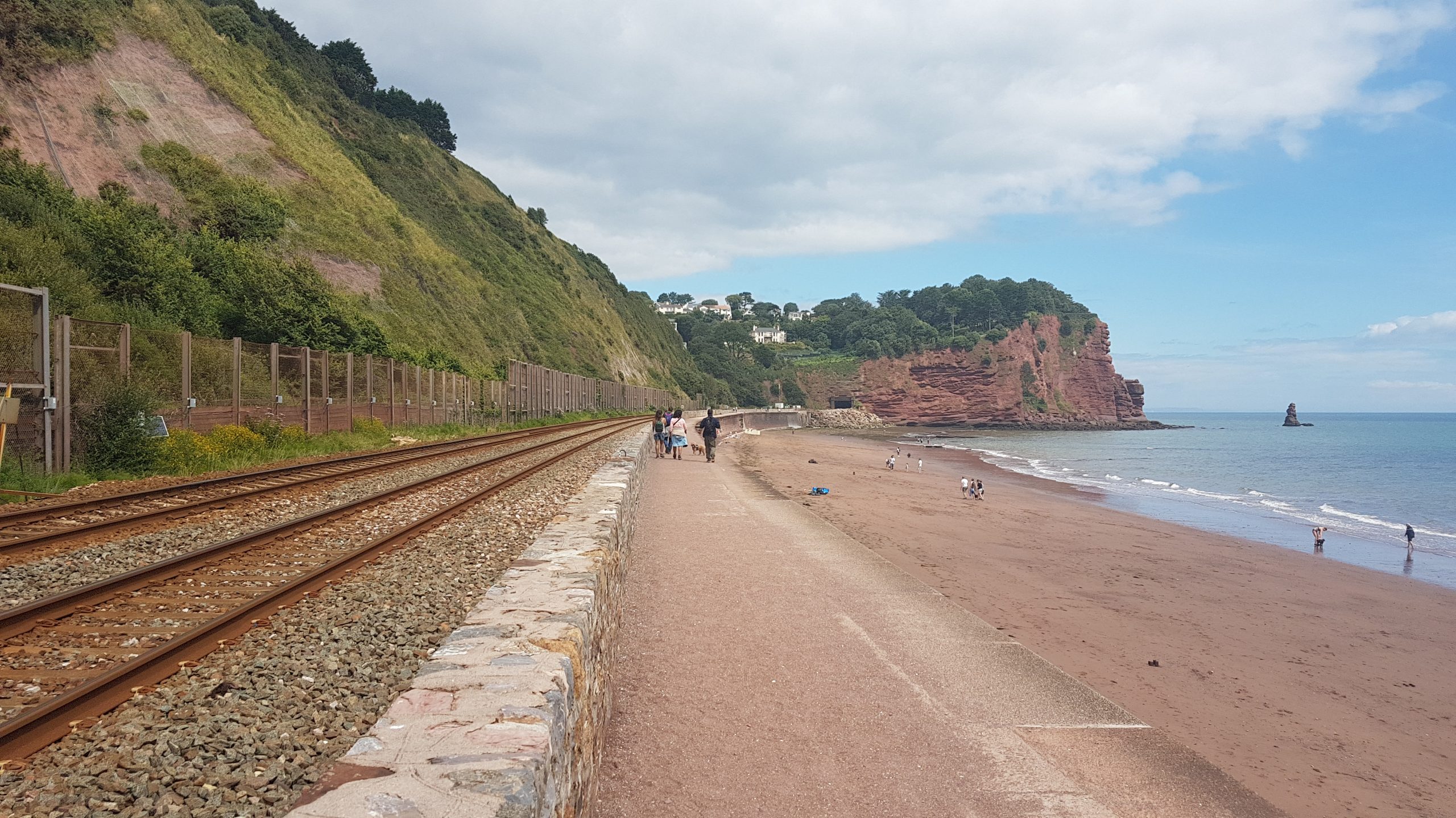
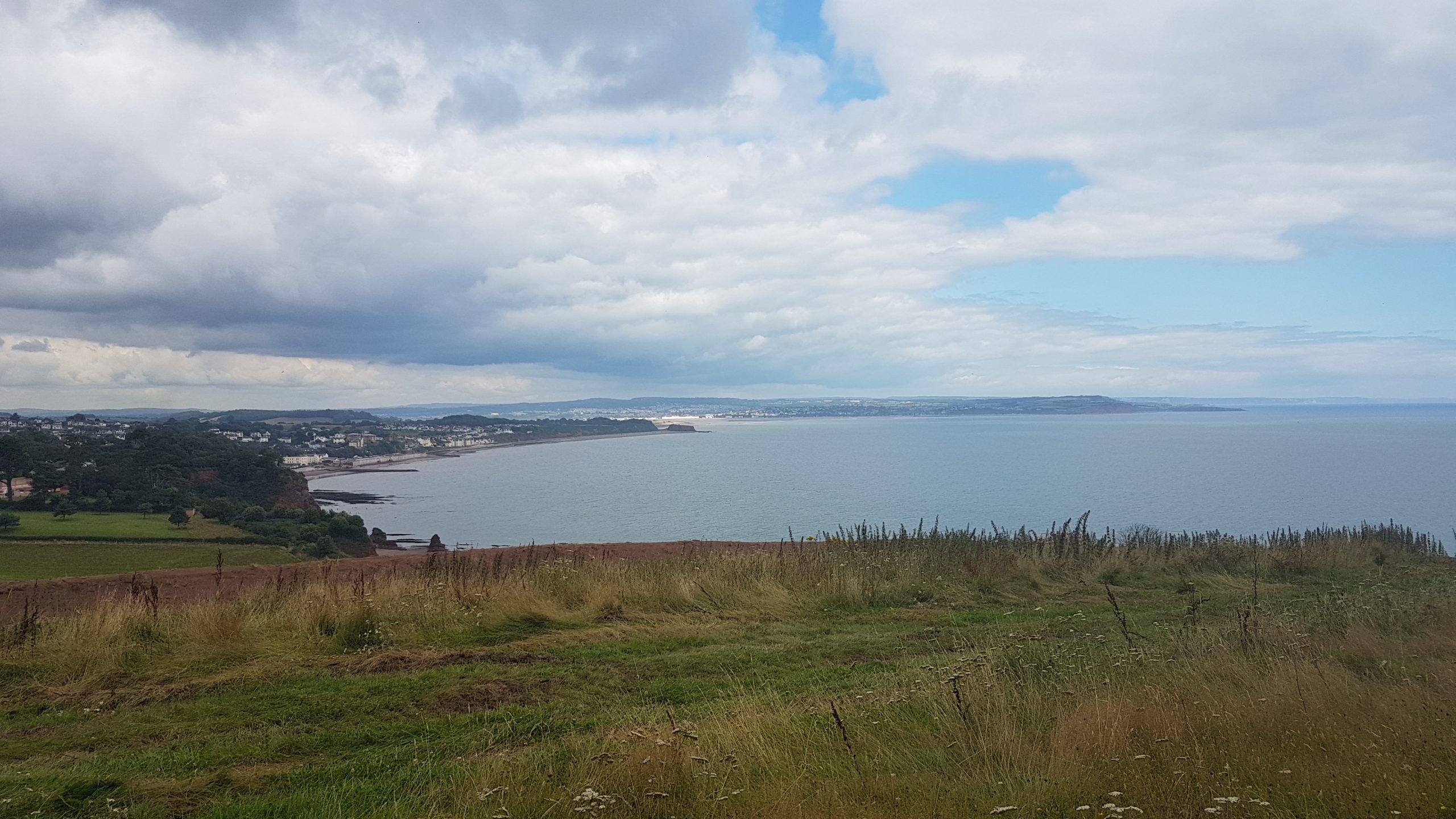
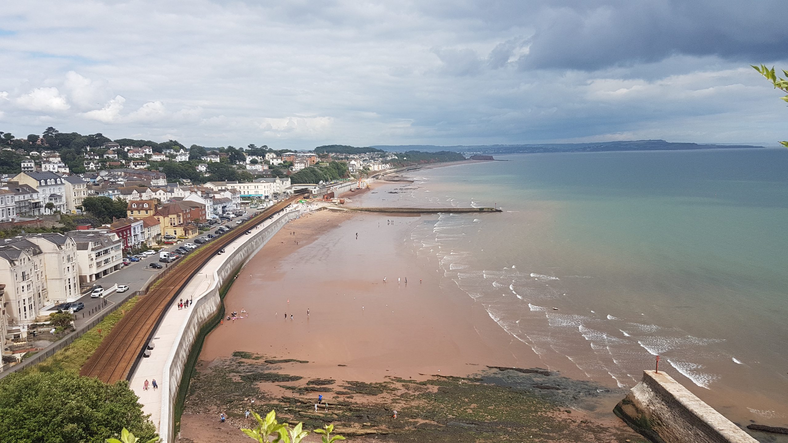
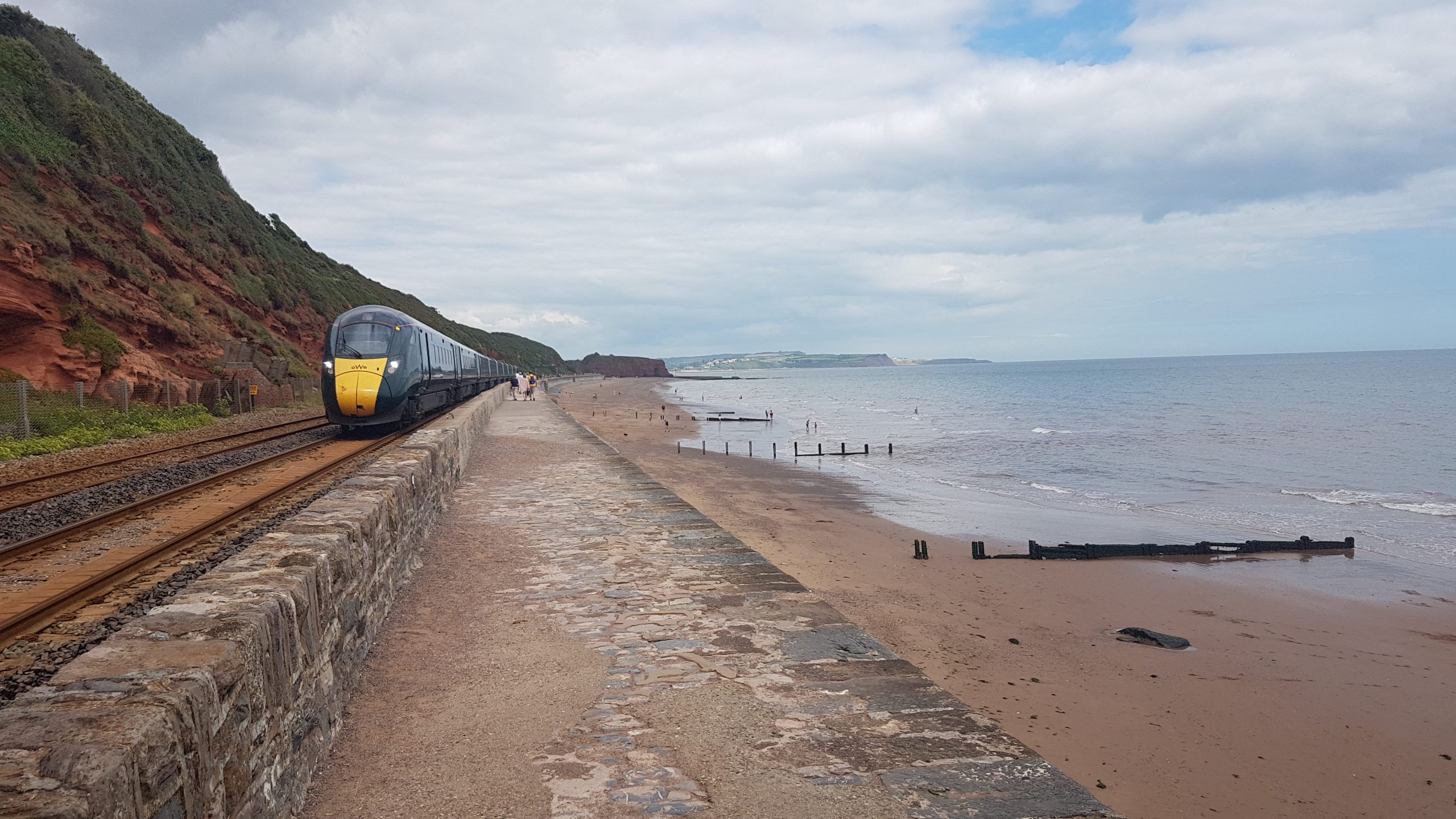
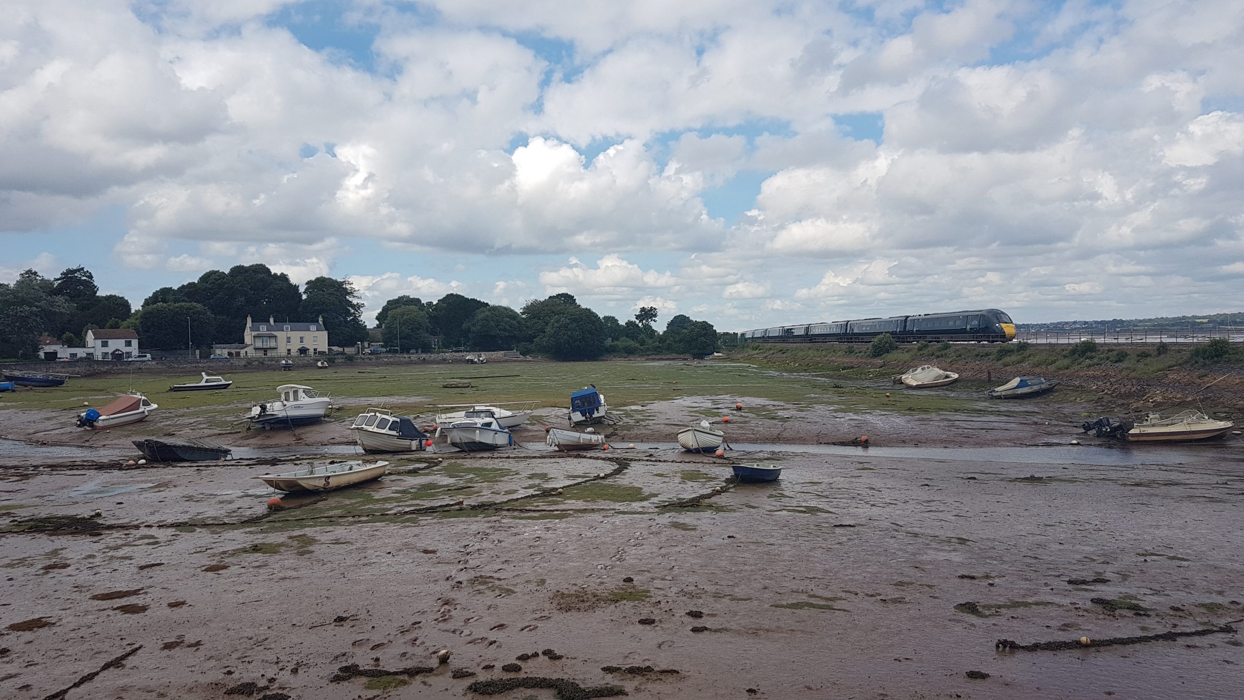
Starcross station. This will be the end of today’s walk from Teignmouth, but first, I take a trip across the estuary on the ferry to Exmouth (where I was yesterday) and backView from the ferry between Starcross and Exmouth. Although (obviously) not a walk, to me the ferries are part of the South West Coast Path, and I wouldn’t have wanted to leave a gap in my map by having walked to Starcross and having walked from Exmouth. So although I didn’t actually need the ferry journey for my separate day walks, as a “completer” I wanted the ferry journey in the bag, and it was a very pleasant ride across, albeit unusual in that as soon as I got off in Exmouth, I joined the queue to get the ferry back again.So, the ferry journey completed, I took a train from Starcross to Teignmouth. From the railway station I have walked through the town (in the “wrong” direction) to bring me to the inland, river, side of the narrowing peninsula.Having reached the southern point of the peninsula where the coast meets the river emerging from the right of the photo, it is time to turn around to the north and start the coastal walk itself.Heading along the prom at Teignmouth.Leaving the town behind, much of the rest of the walk is alongside the railway line as it threads its way between base of the cliffs and the seaThe sign, somewhat premature, is aimed at arrivals by train, and was a good spot to stop for lunch.Occasionally, as here, there is a bit of space between the railway and the beachBut often there is very little space, leaving the railway very vulnerable to rough seas, but making for some interesting walking. With quite a few people, dogs and trains about, Brindley stayed on the lead almost the whole of this walk, but there were a few sections where he got to have a little gallop.The railway heads into the tunnel through Hole Head, with Shag Rock out to sea. Our route lies steeply uphill to walk a short way along the A379Having left that brief interlude along a main road, we descend along East Down to get close to the railway before retreating inland again for a short while.Looking down into Dawlish with its splendid new sea wall to protect the railway.Works on the railway sea wall were ongoing and we had to follow some poorly signed diversions through the northern parts of Dawlish, before eventually finding our way back to the SWCP, heading for Langstone Rock. North of there we cross the railway and make our way through the holiday parks of Dawlish Warren – no doubt a good time being had by the many people crowded in there, but not a particularly good part of the Path.The worst of Dawlish Warren is followed by a slightly more open but still not terribly scenic route along the coastal road, but with a pleasant interlude at Cockwood where the railway embankment has almost cut off this bay from the main estuary. The rest of the Path was along the A379 again and though the pavements were broad and progress was quick, we were glad to reach Starcross and the car.
A very enjoyable walk along the railway/coastal fringe as far as Langstone Rock (subject to the frustrations of the temporary diversion in Dawlish), but deteriorating for the estuary section from there to Starcross.


 by
by