In which: fog almost foils plans, but a cooked breakfast gives breathing space ● sculptures change the landscape, but for the better? ● the Bill is busy for lunch ● the east is a coast of contrasts ● prisons line the route ● an inclined plane provides easy escape ● helicopters are overhead ● boats are stacked ● we return the way we came
Date: 12 August 2021 Time of walk: 0930 to 1545 Today’s walking: 23.2 km Progress along SWCP: 22.8 km Estimated ascent: 470 metres
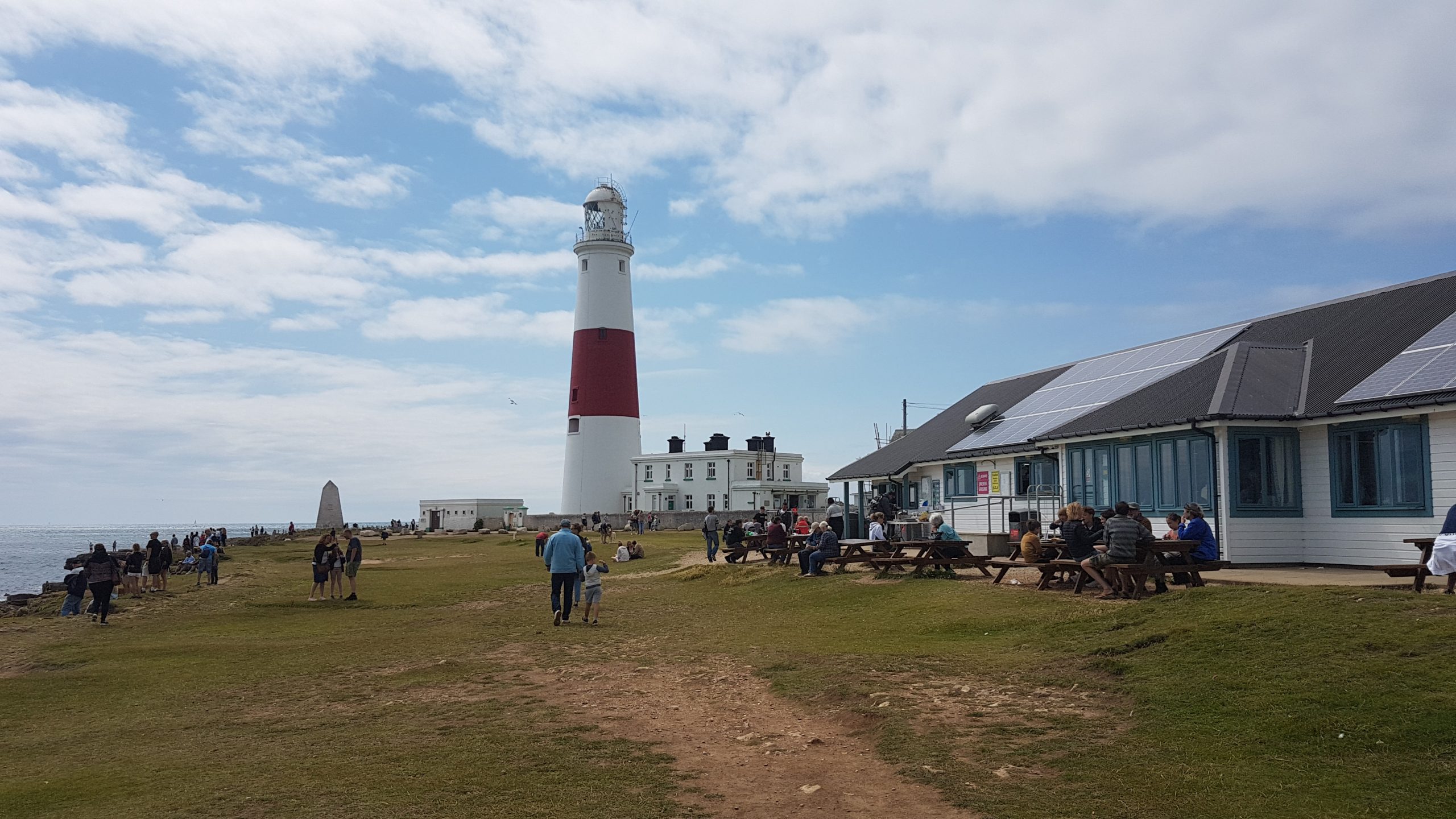
Lucy and I travelled east from our holiday cottage in Tytherleigh, north of Axminster, and found mist and fog much thicker than expected, and not clearing. We visited the Olympic rings on the northern side of Portland, with zero view through the fog, and I came close to abandoning the idea of the walk. We went to the south of the peninsula and had a cooked breakfast at Portland Bill in bright sunshine, so the walk plan seemed worth attempting after all.
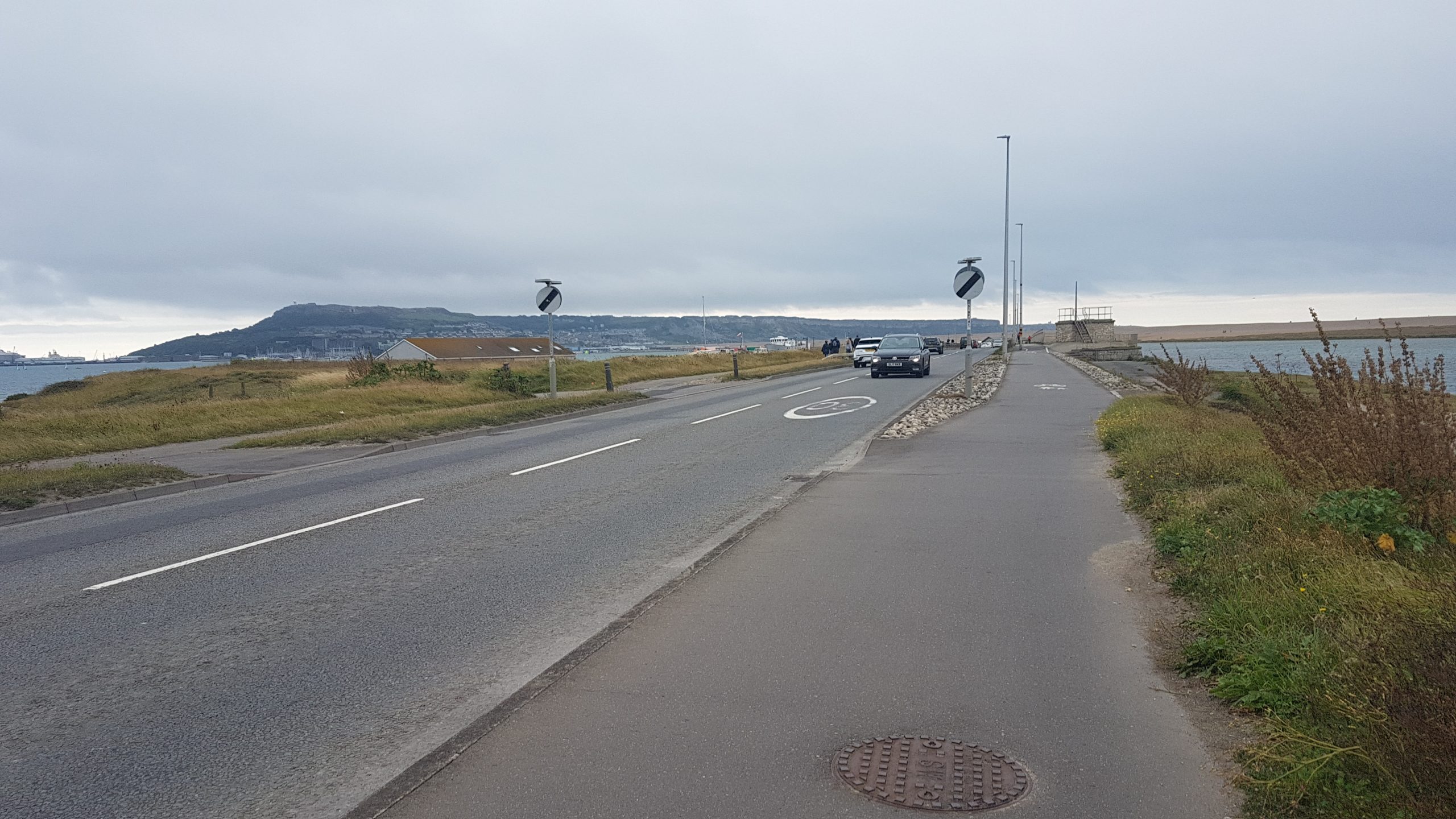
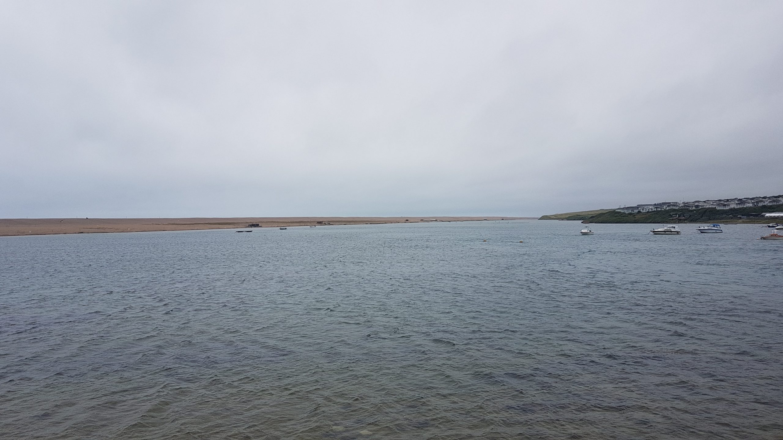
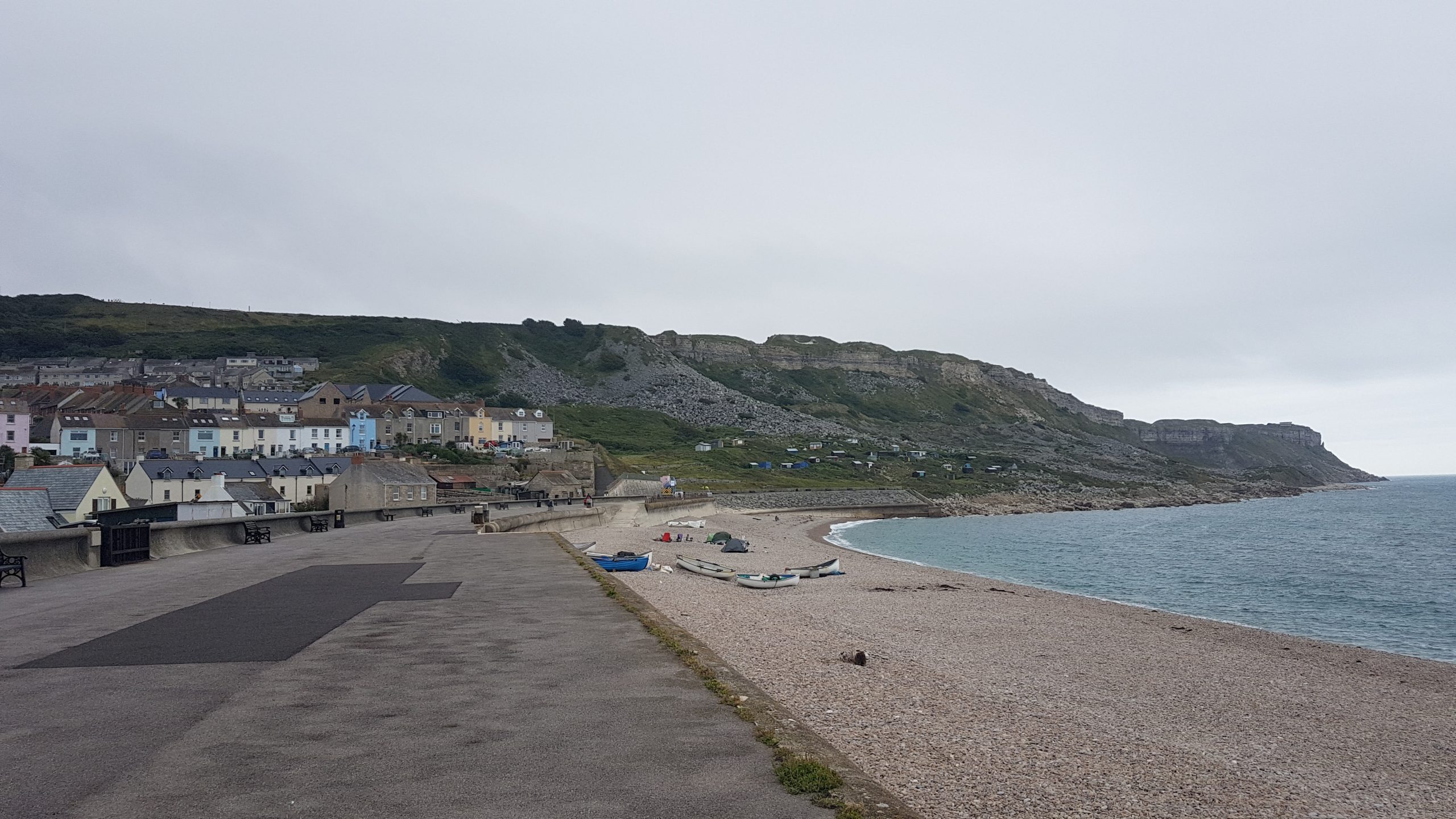
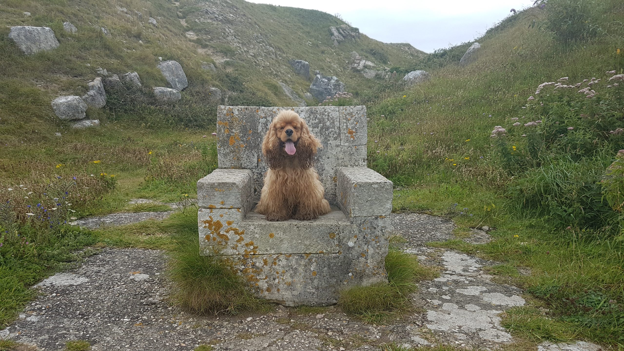
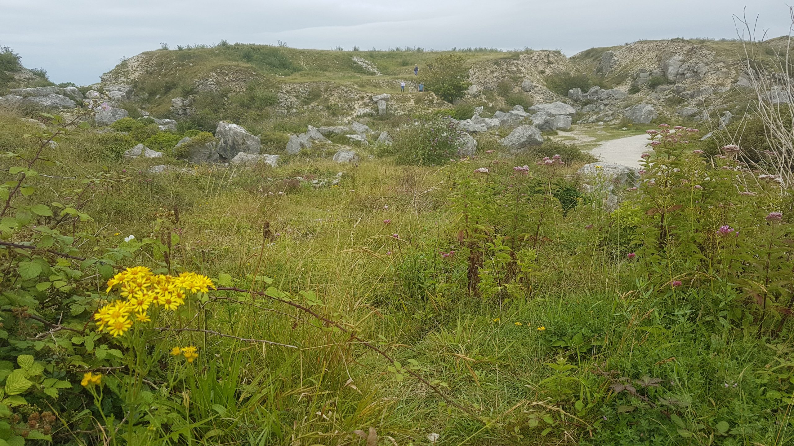
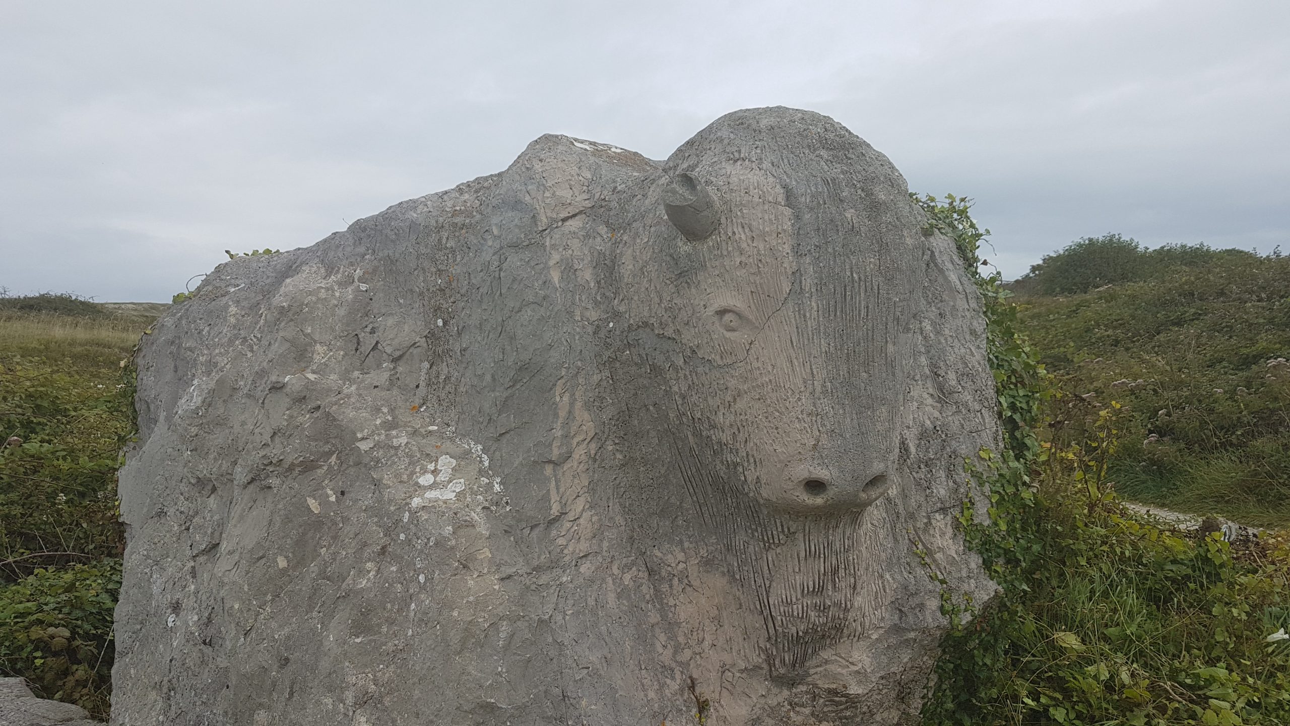
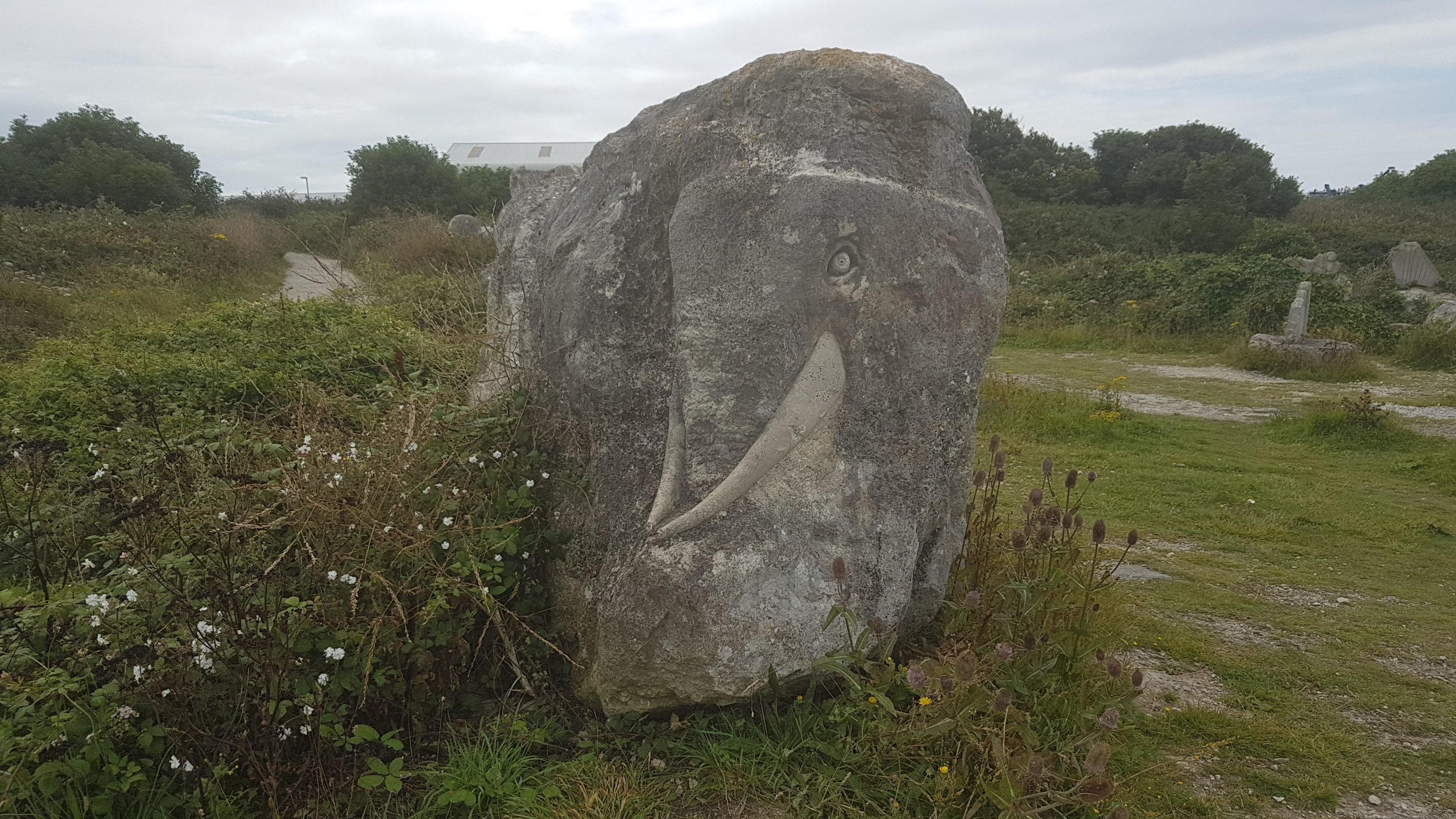
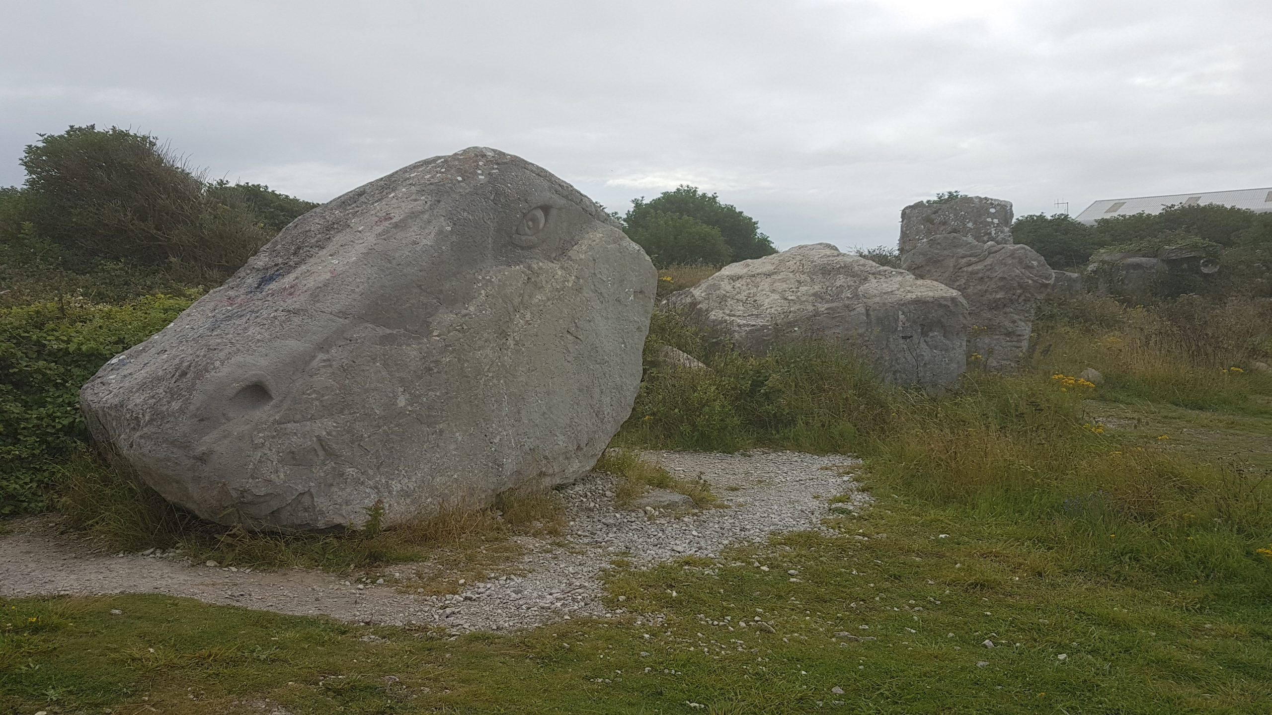
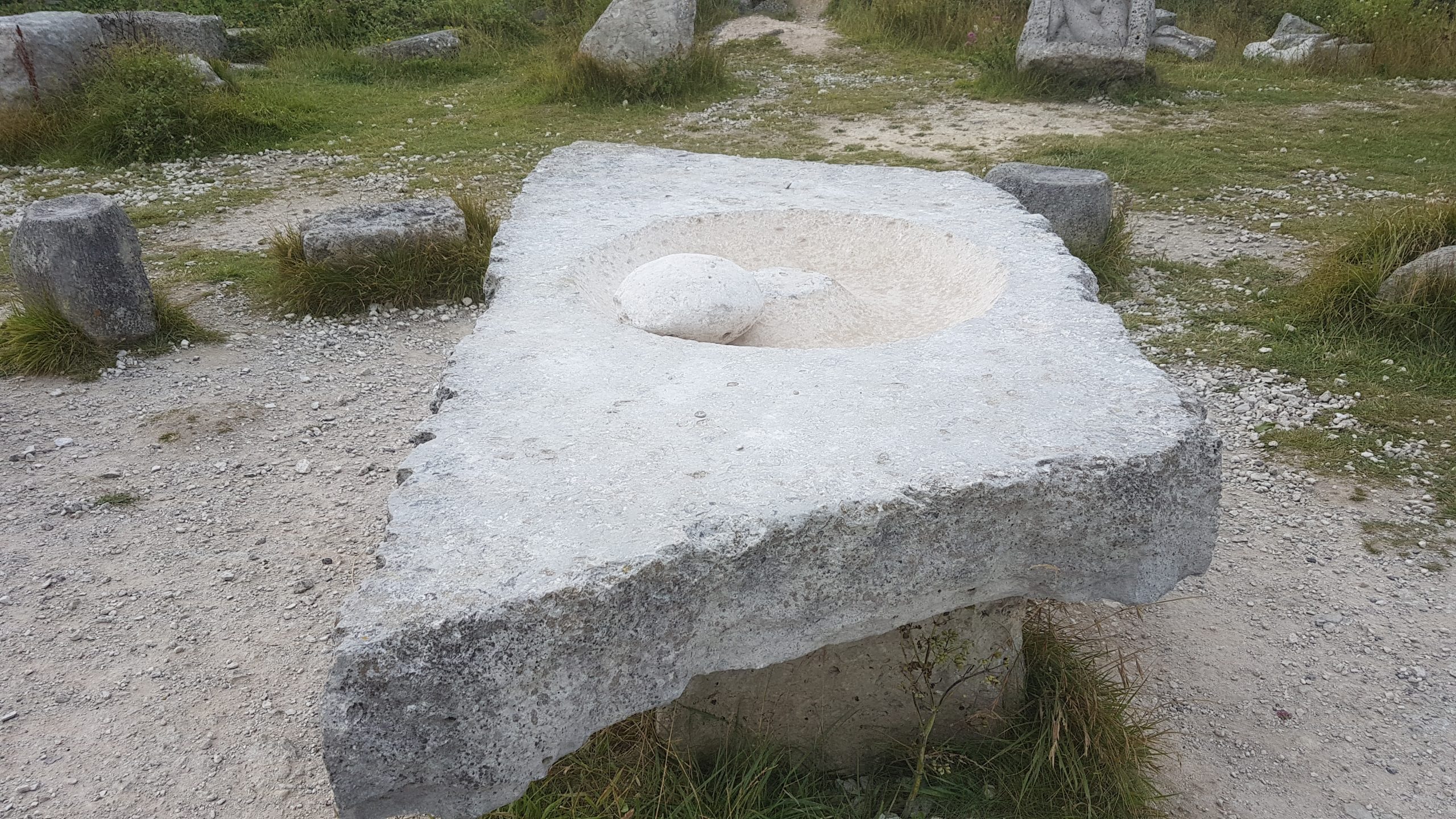
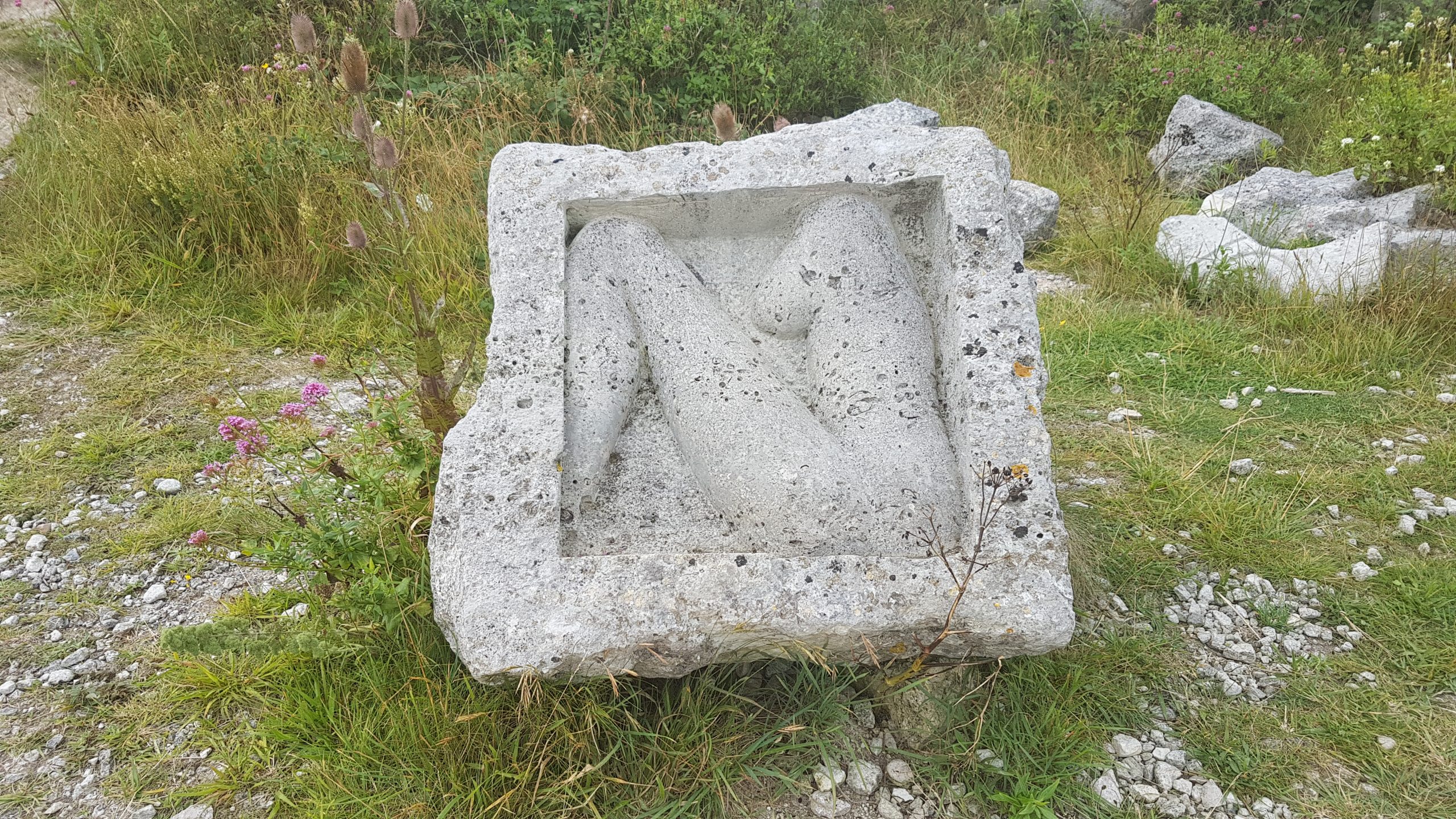
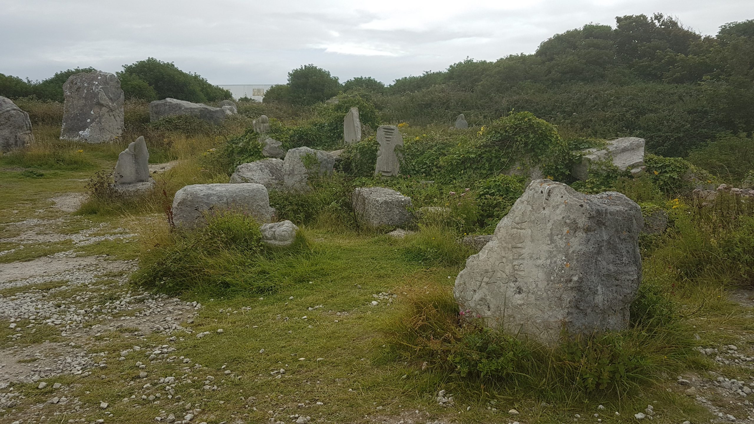
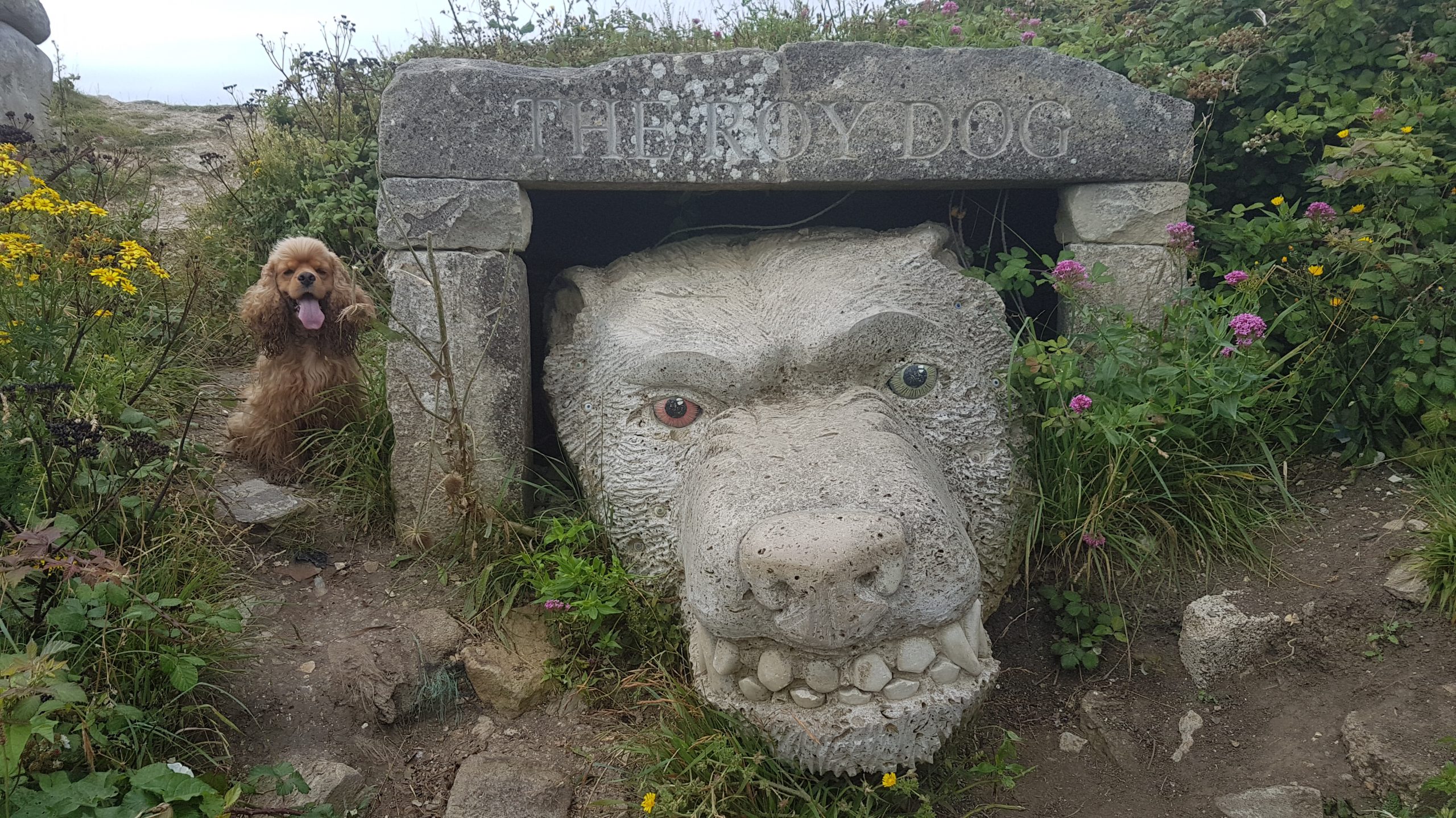
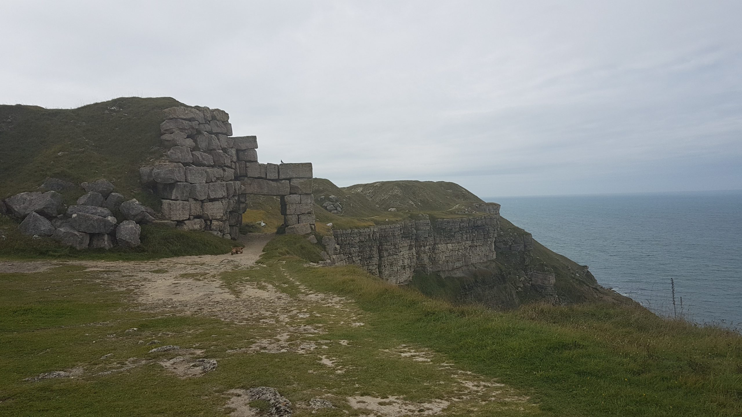
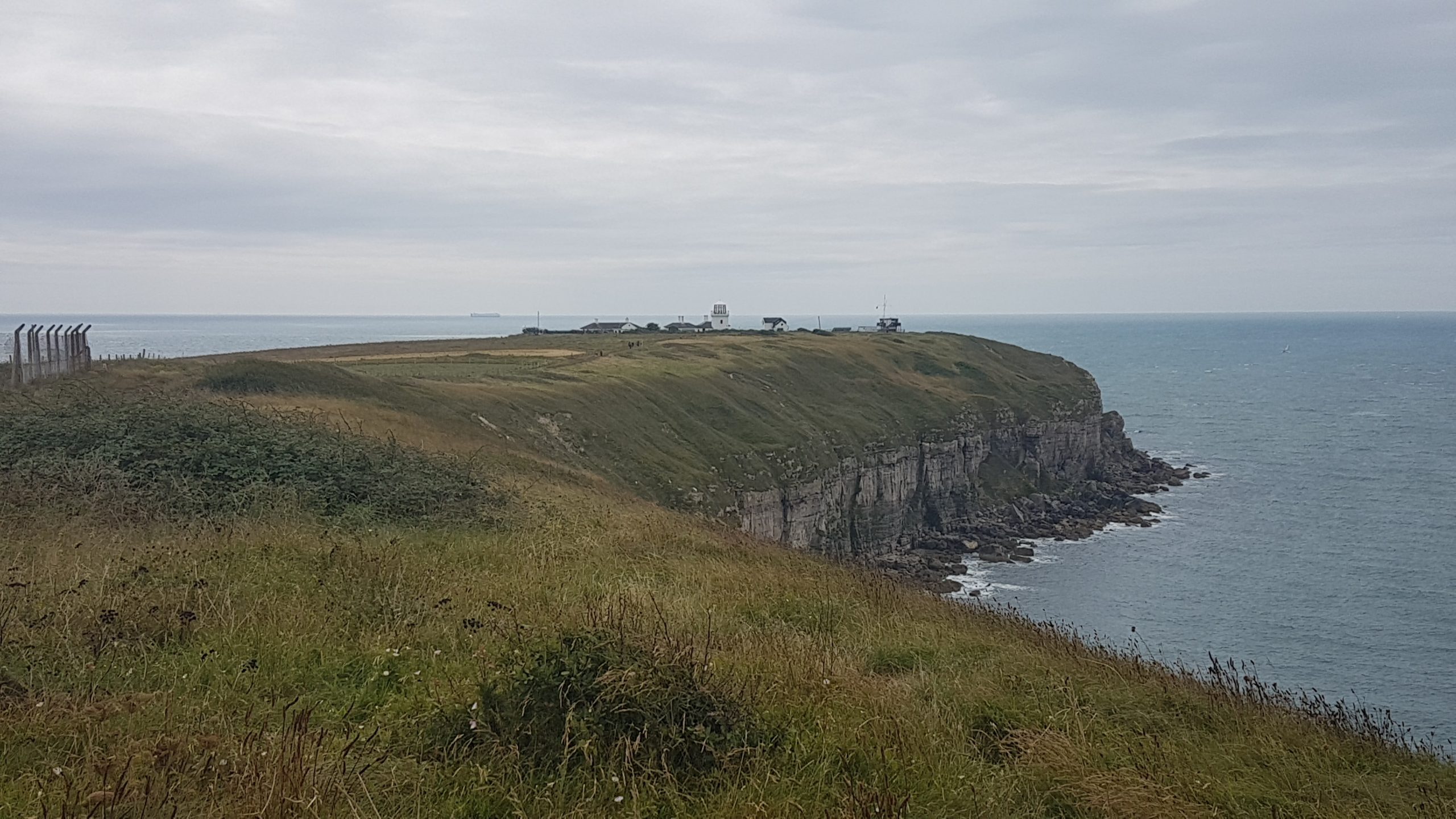
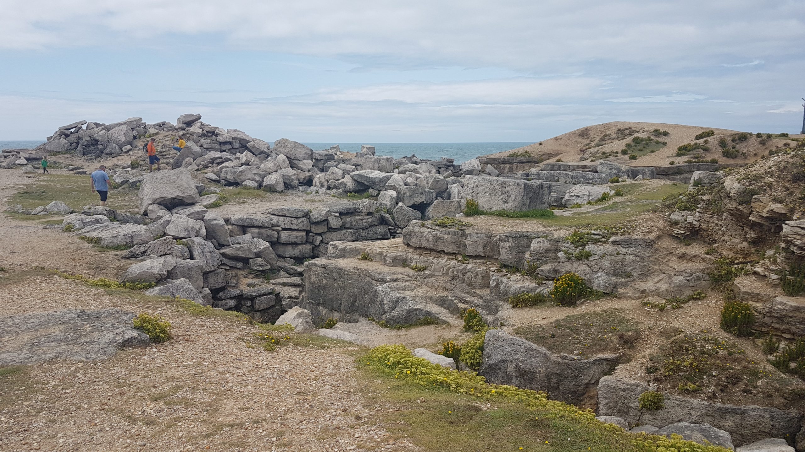
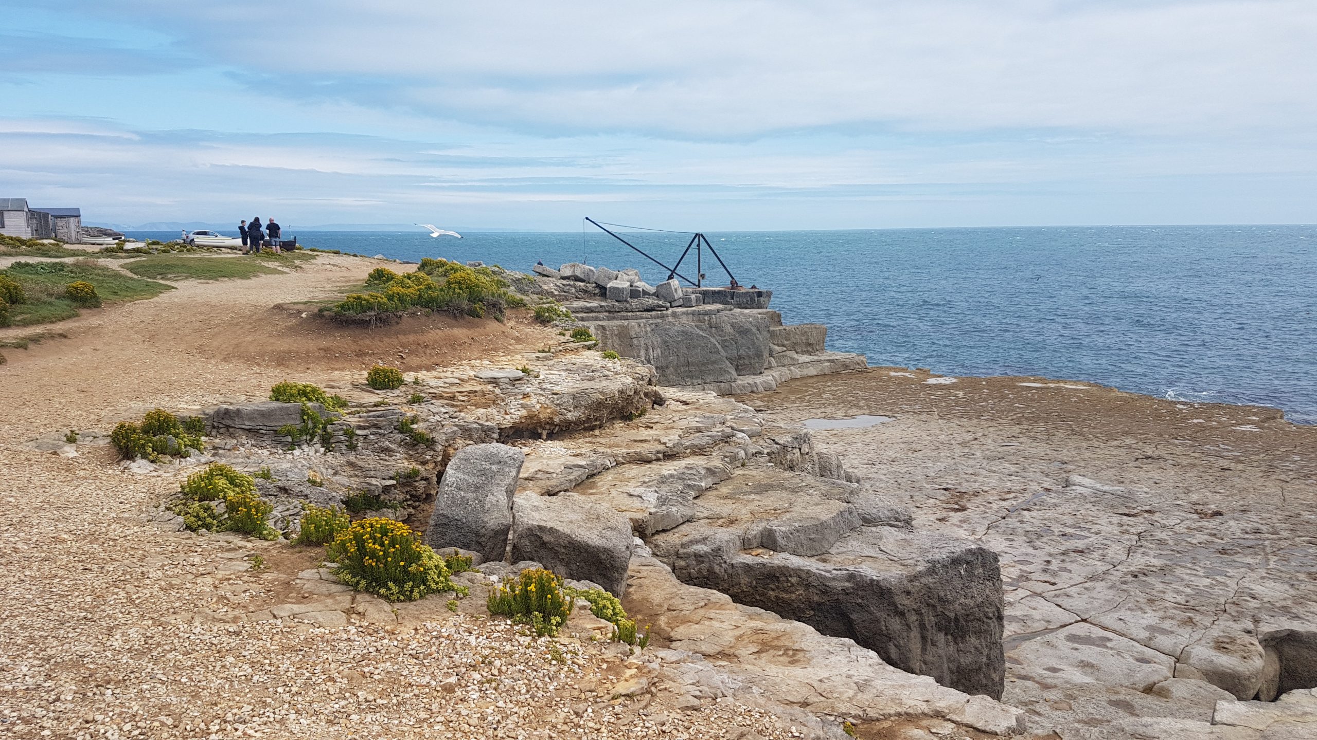
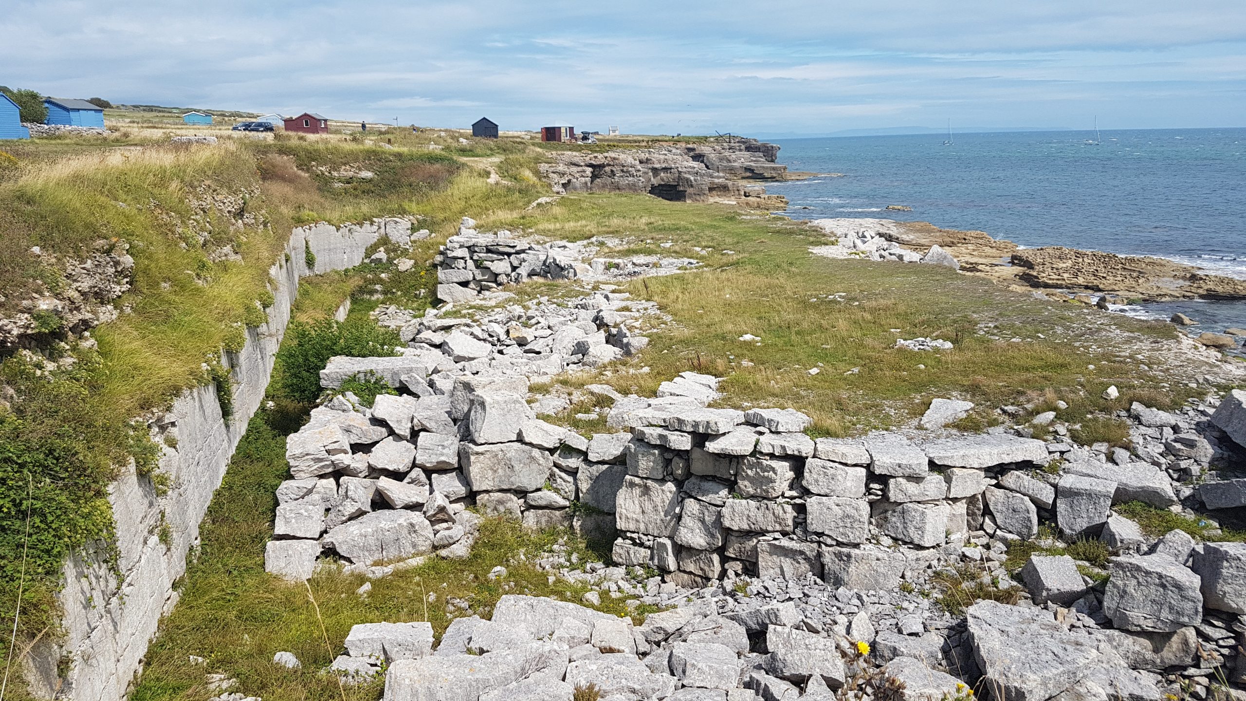
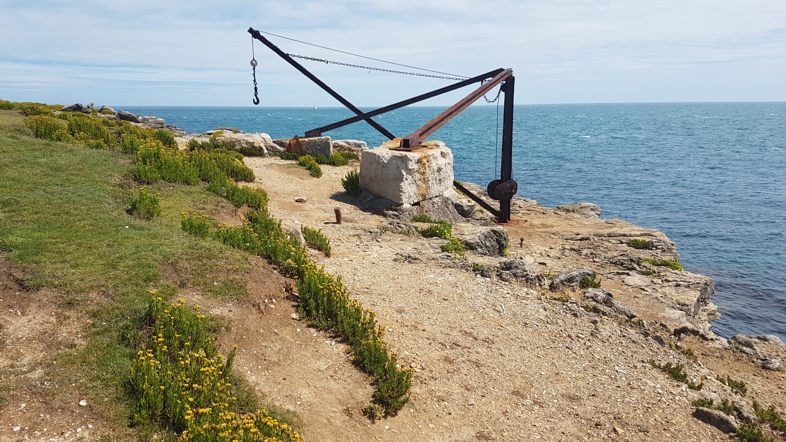
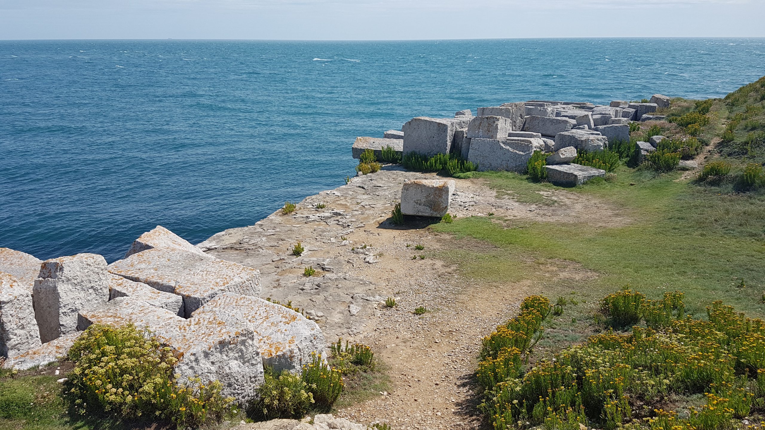
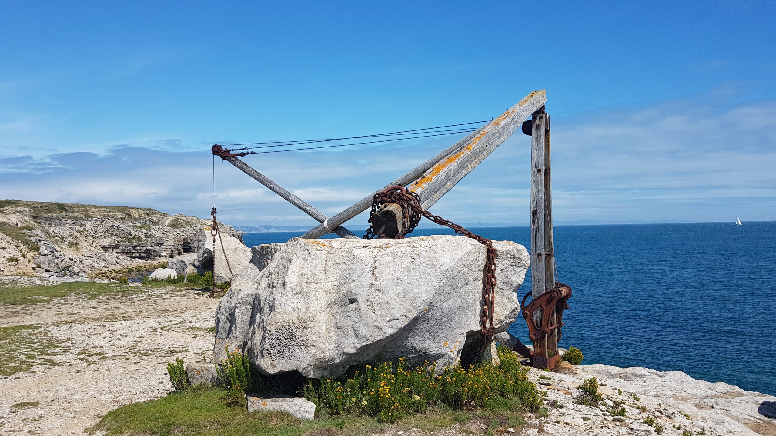
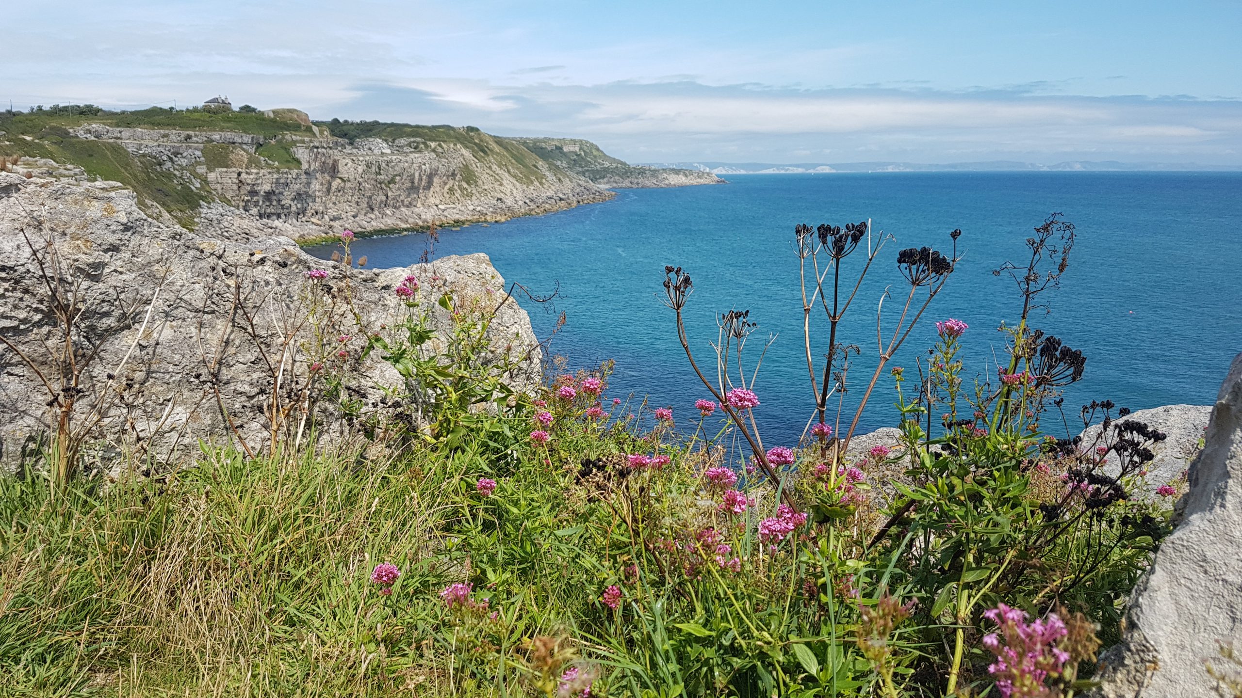
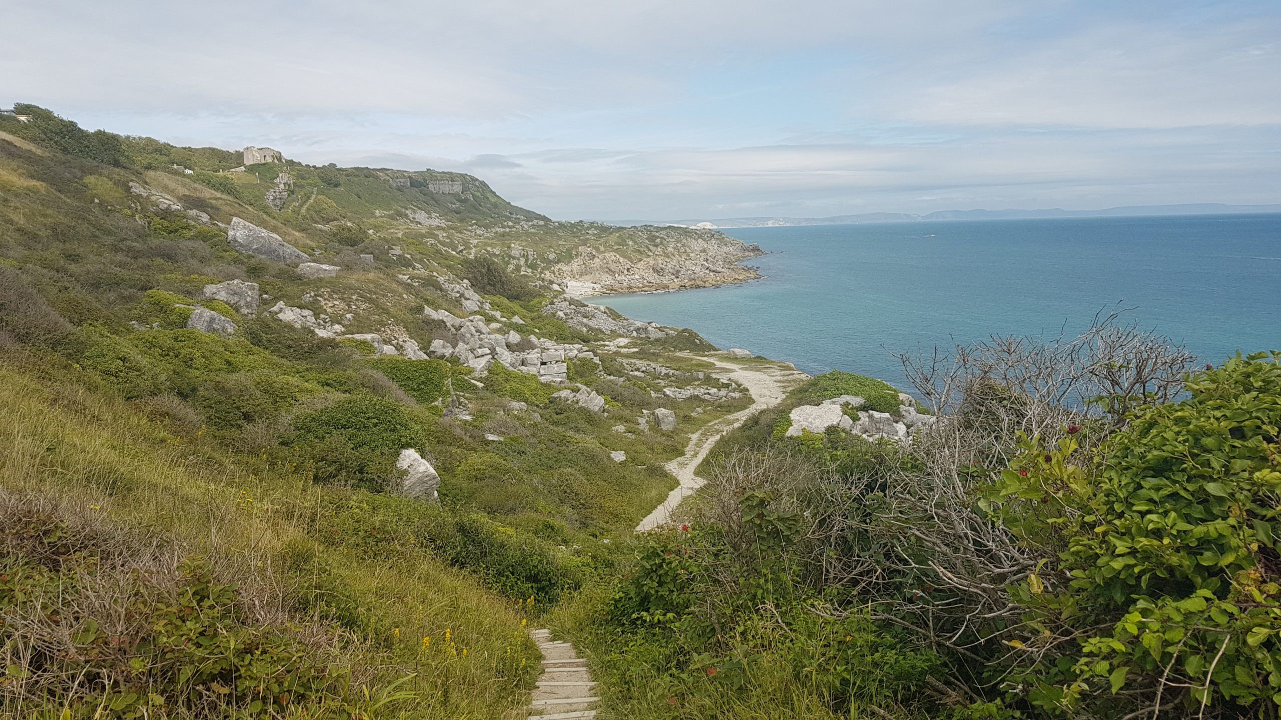
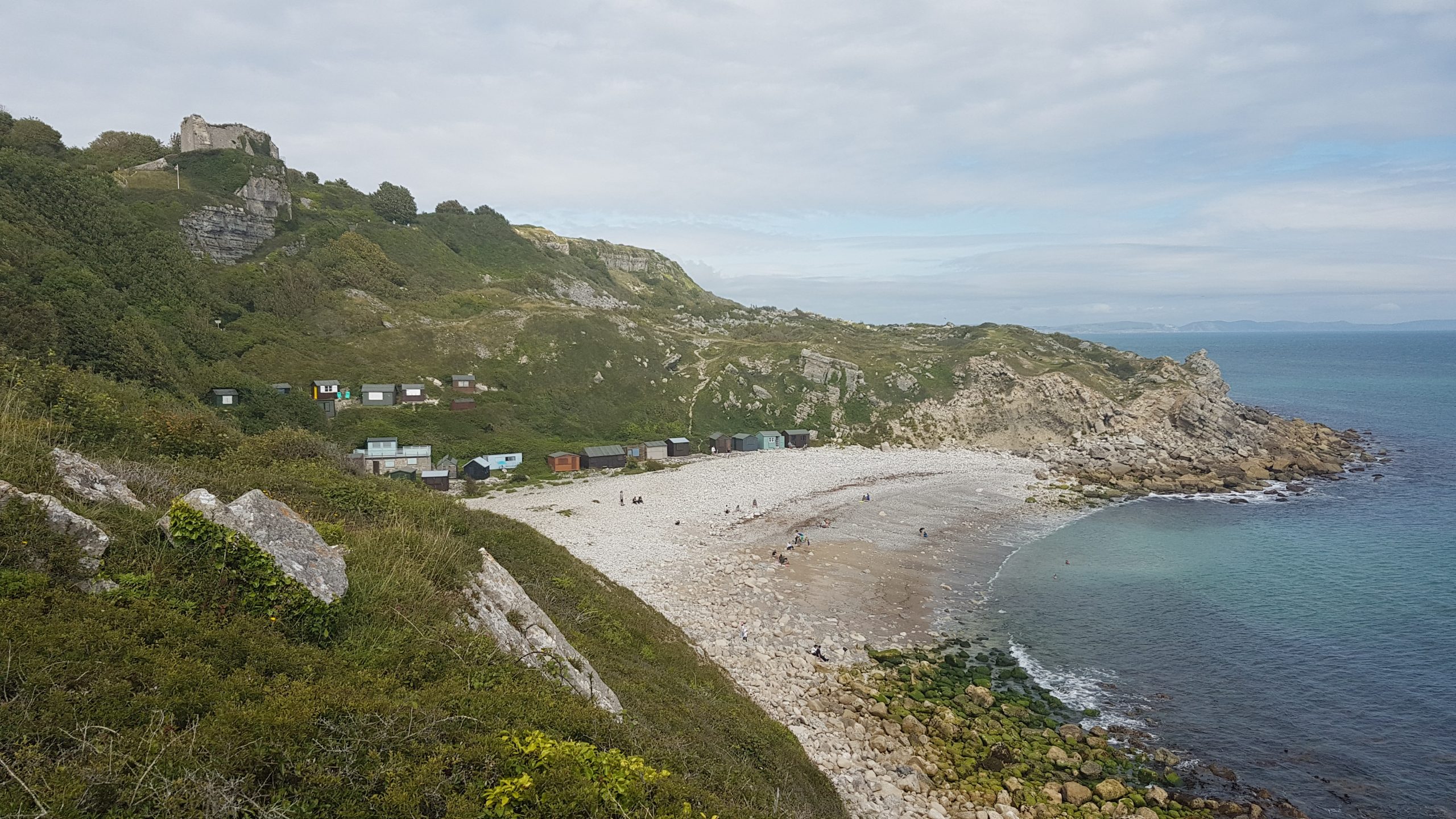
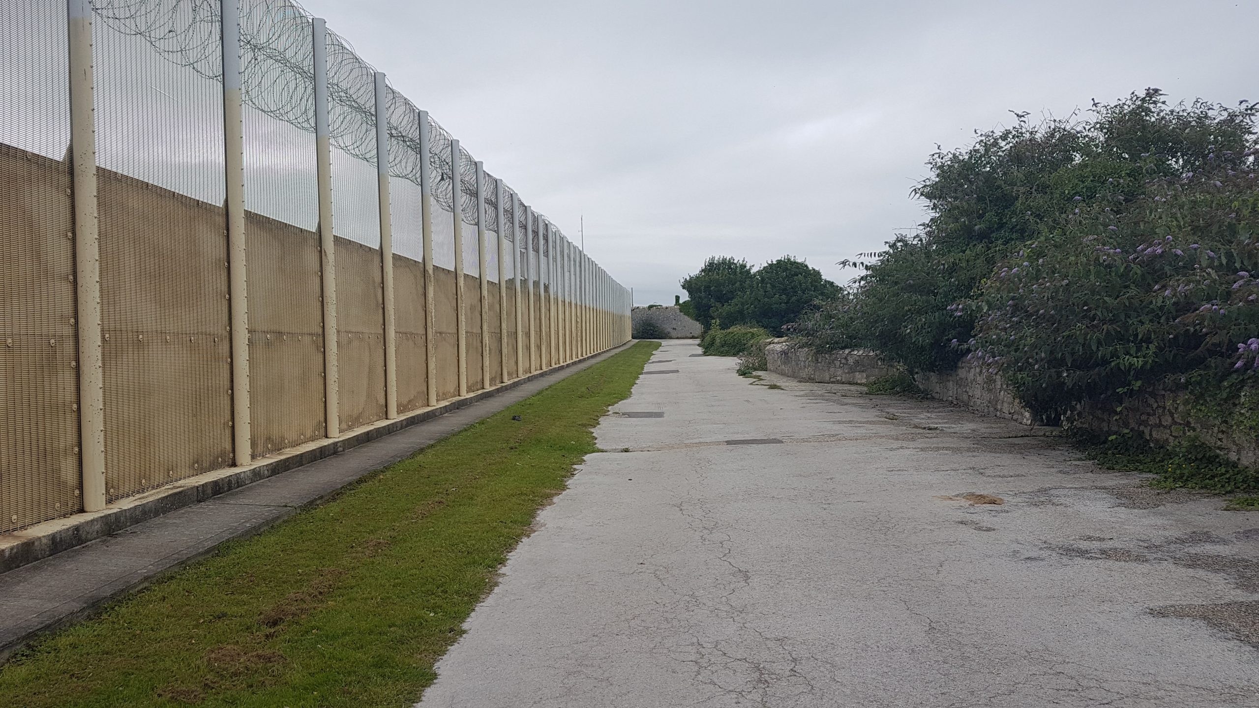
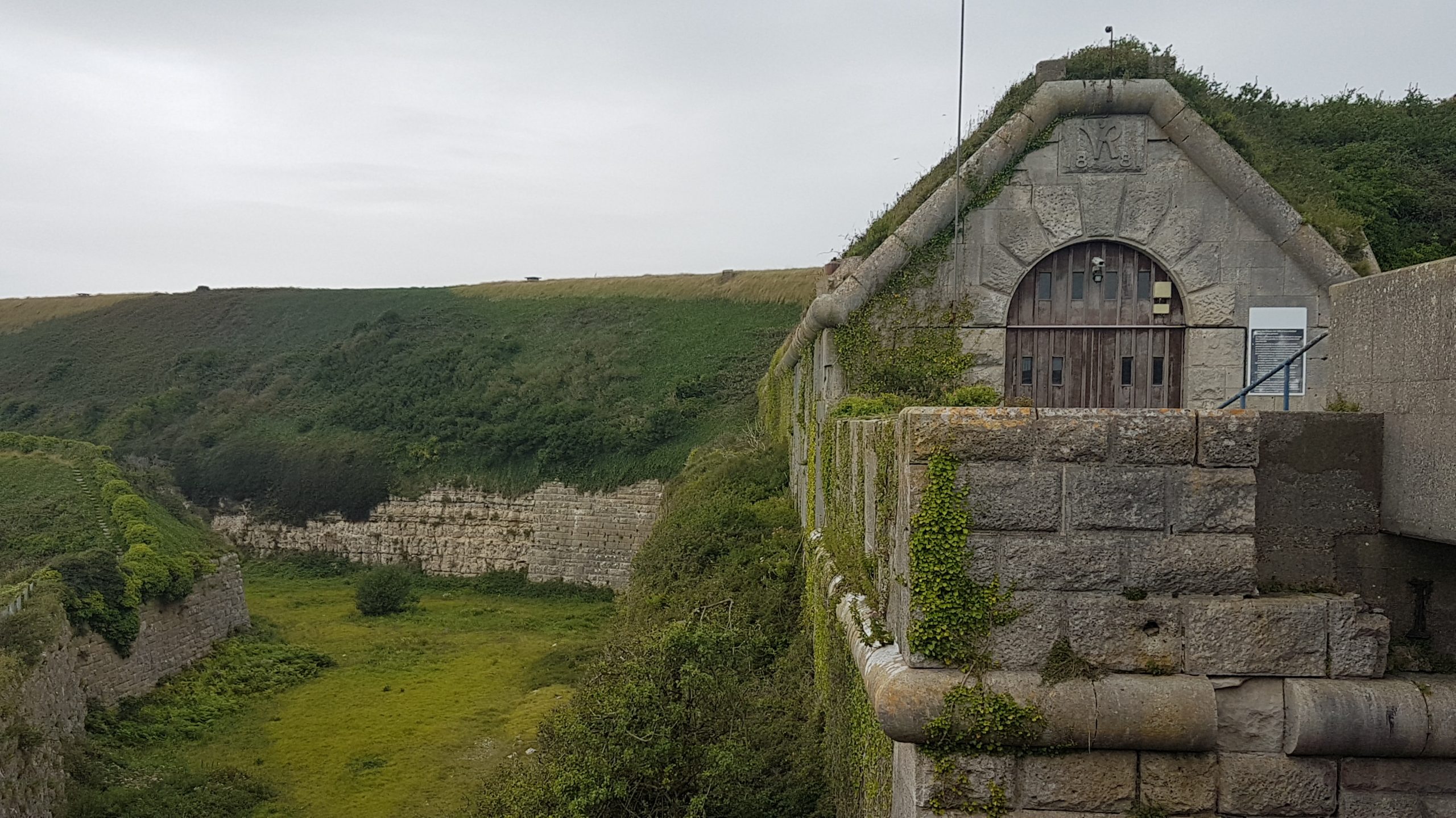
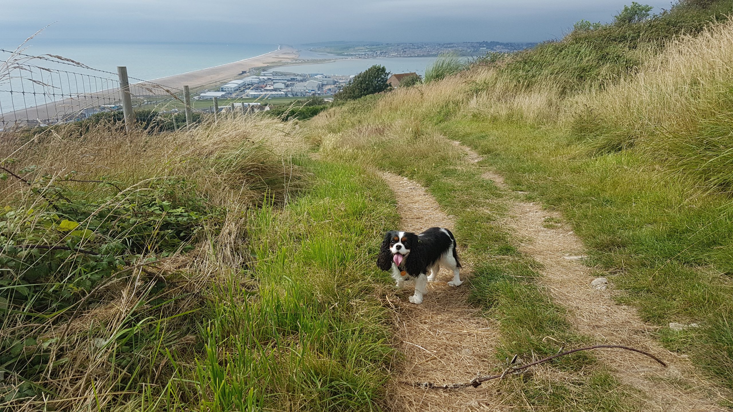
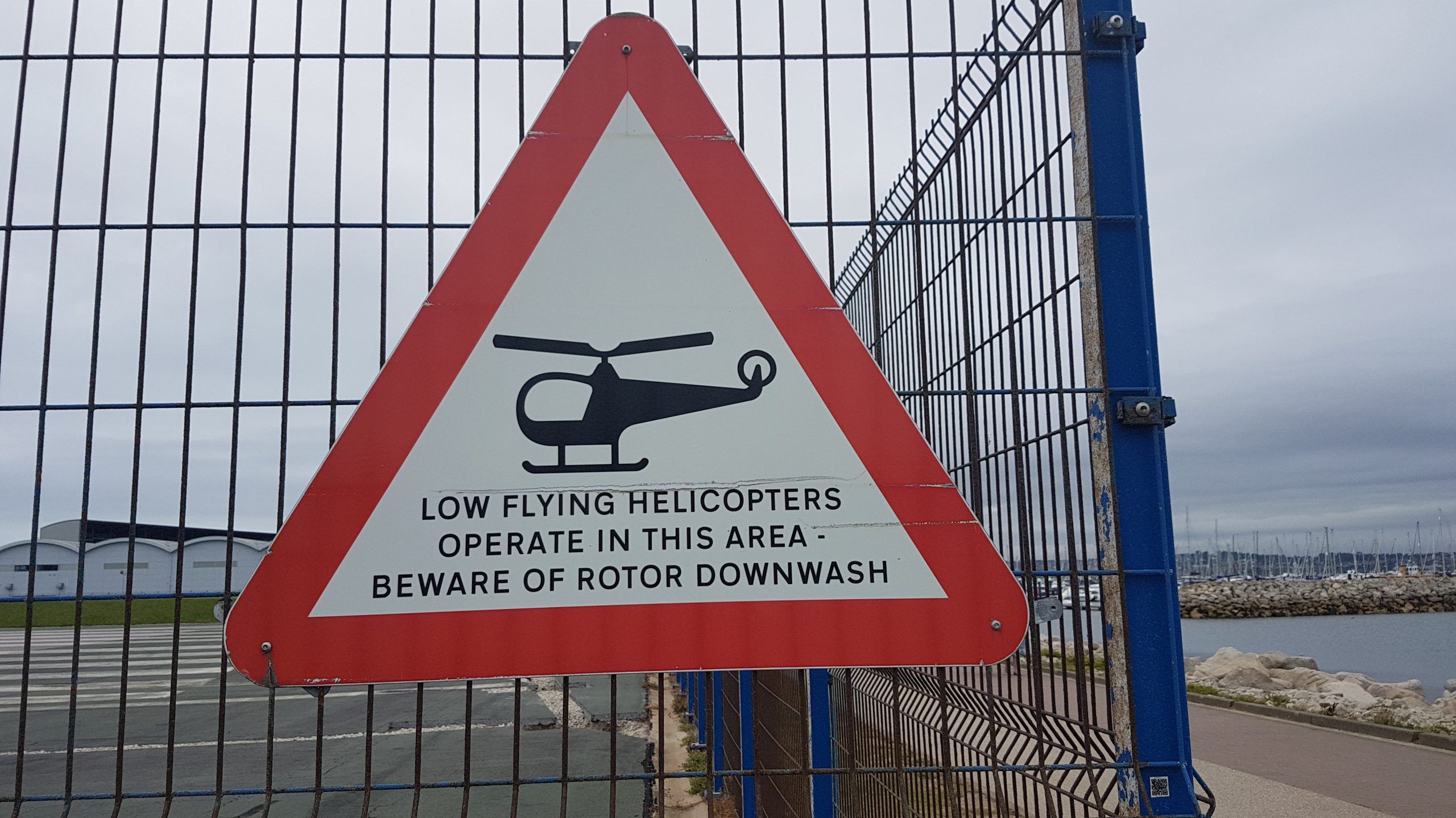
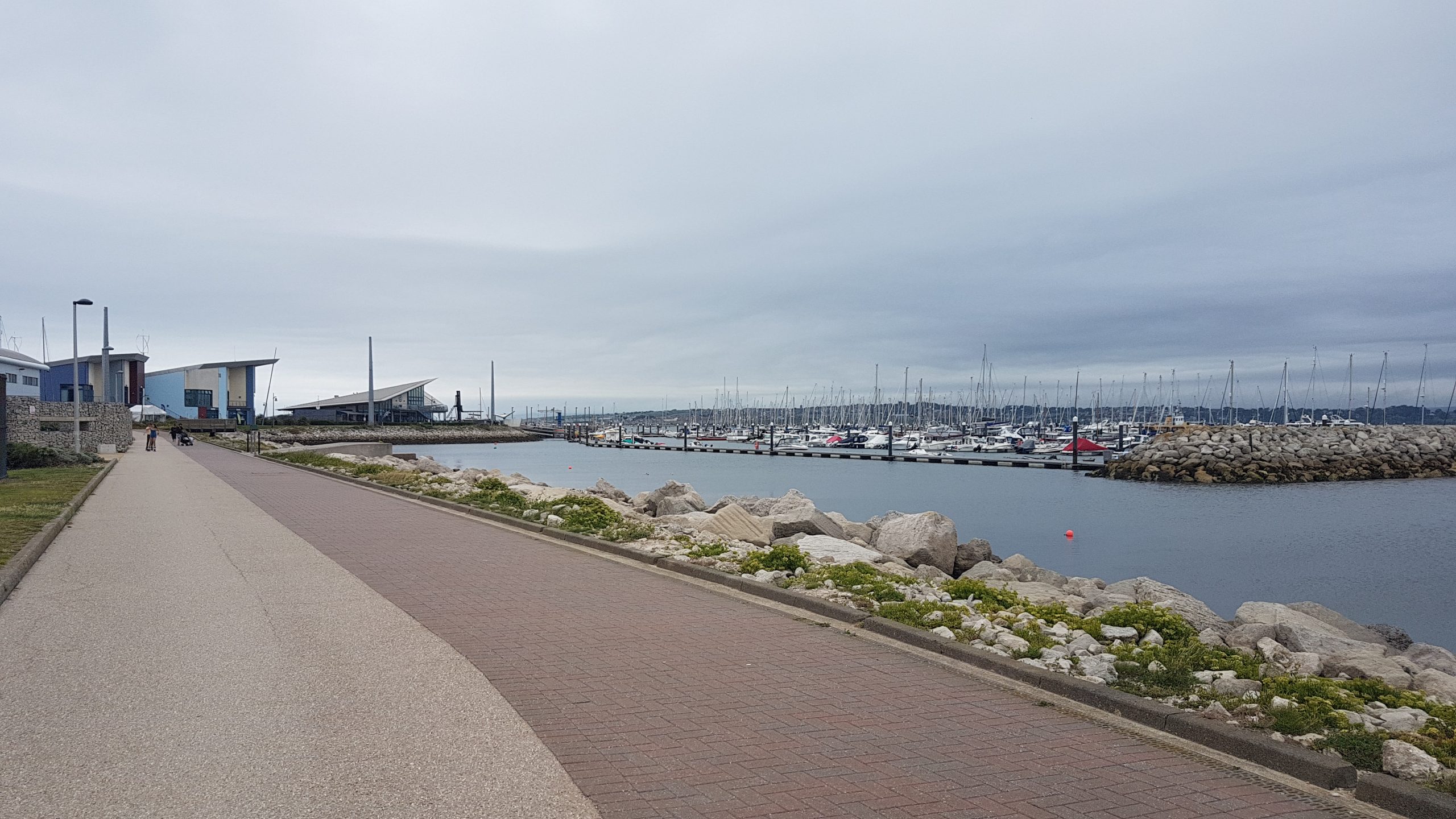
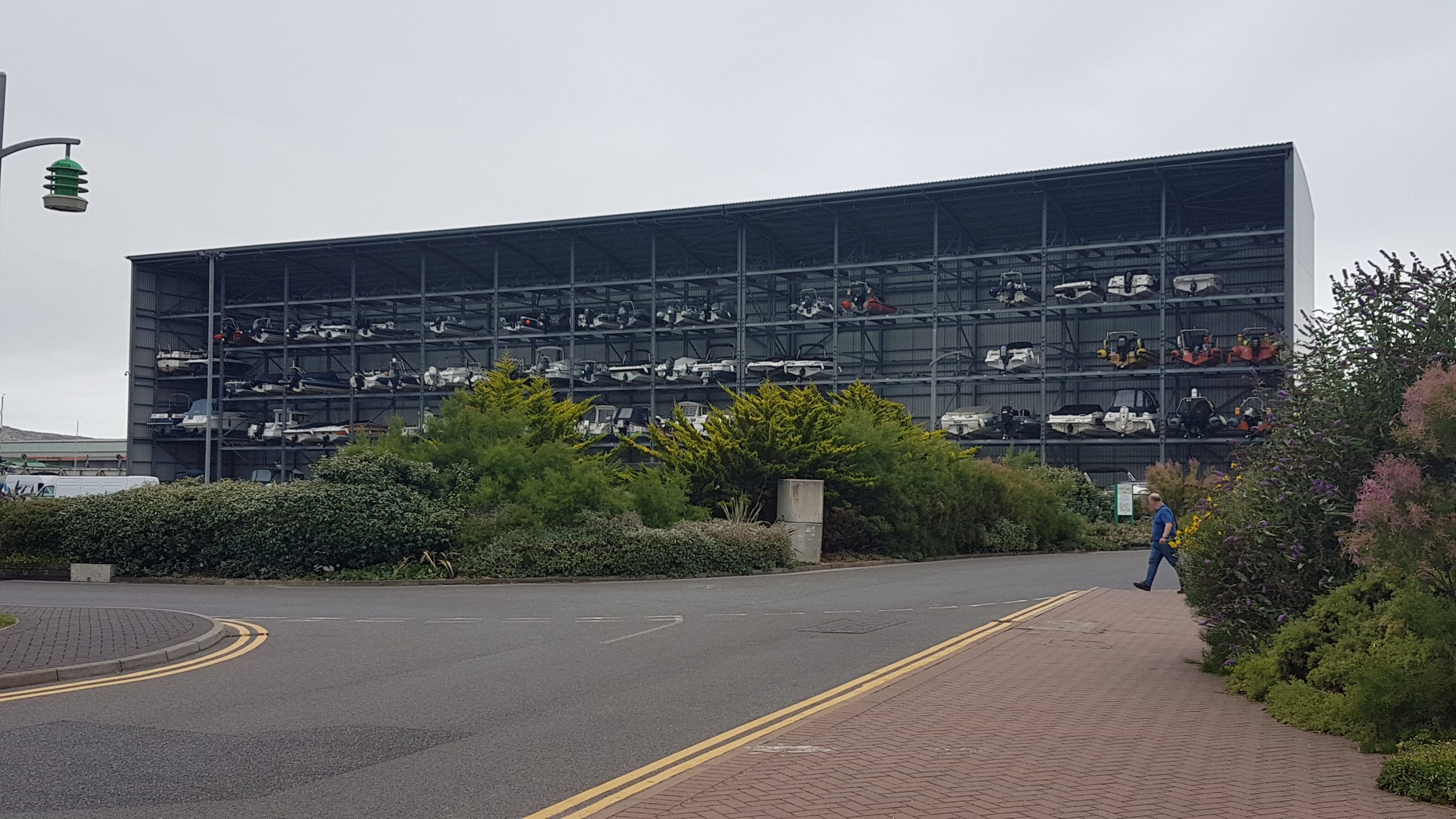
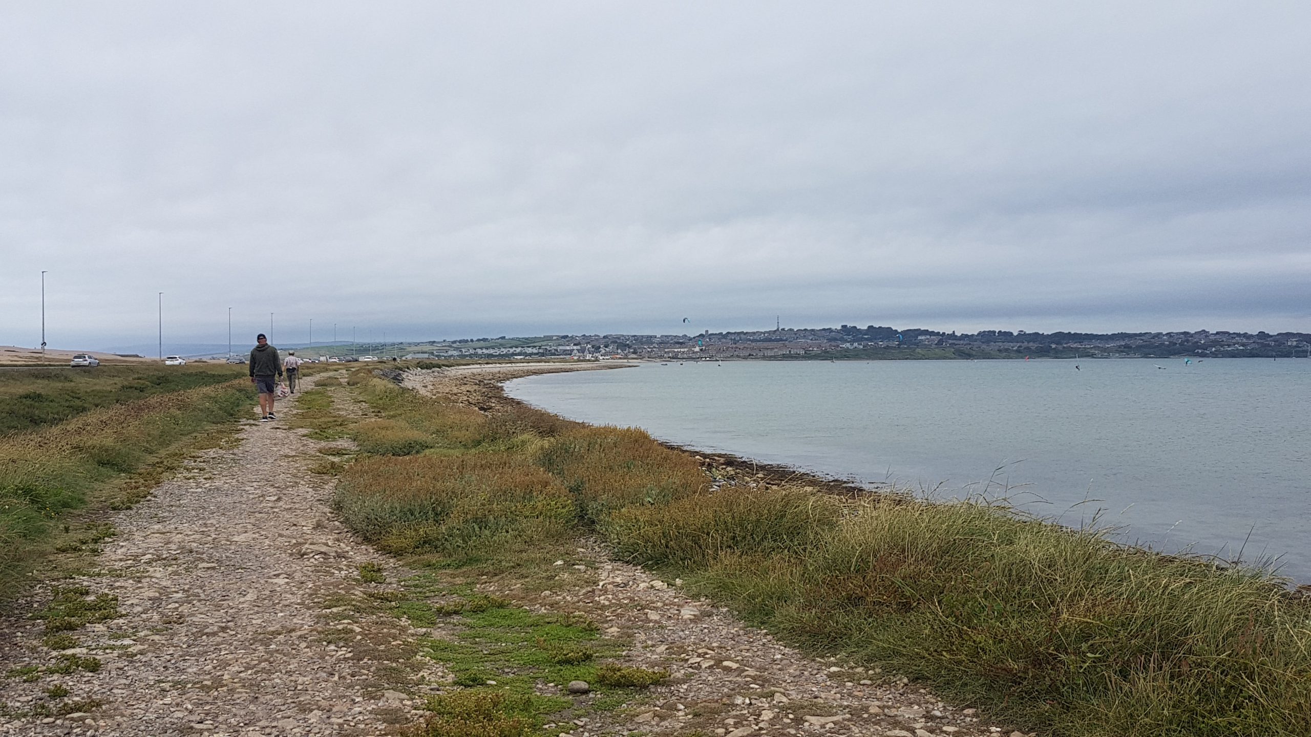
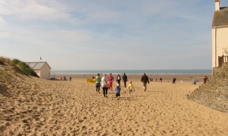
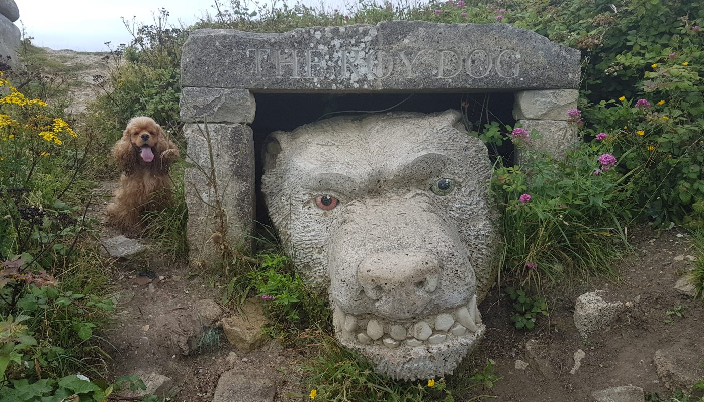
We returned to the mainland where Lucy dropped me off, and I began the walk along the causeway that along with the tombolo of Chesil Beach connects the tied island of Portland to the mainland.Looking up The Fleet which lies between Chesil Beach (left) and the mainland.Having arrived on Portland, I find a poorly signed route onto a short promenade along the top of a sea-wall, with growing views of the escarpment up which my route lies.Looking down on Fortuneswell and Chesil Beach, with the mainland in the background.After a visit to Lucy back at the Olympic rings, Brindley has joined me as far as The Verne. He looks quite cheerful about it, as we explore a section of the Tout Quarry Sculpture ParkThe route heads briefly inland to explore the Sculpture Park.Some of the many varied formations of the Sculpture Park – it’s an interesting effort, though the seeming random way in which they are scattered around the landscape does feel odd to me. Do they enhance the landscape, do they provoke the visit, do they clutter?Returning to the coastal path proper, Brindley leads the way through the rocky arch.The lighthouse and other structures of Portland Bill come into view in the distance.Arriving at the southern end of Portland, it suddenly starts to get busy: a small stream has an extravagant gully with large stone blocks lining parts of its route.The cafe at Portland Bill, where we’d had our cooked breakfasts earlier. It has become a good deal busier, and plans for lunch here were rather curtailed.The eastern side of the island has a lot of evidence of the former quarrying activities for which the island became famous. some good looking blocks of stone having been left behind when their export became less in demand and less viable.But there also remains a good deal of natural beautyAnd a fair bit of up and down“Rufus Castle (rems of)” as the Ordnance Survey have it. Plus Church Ope Cove.Atfer a nice easy straight path, there are zigzags to gain height and then its easy underfoot again as we tread the perimeter of HM Young Offender Institution PortlandThe Old Engine Shed housed the locomotives working in the Admiralty Quarries. The quarries were used as the source of stone for the huge breakwaters built to create Portland Harbour. Lucy met me here, and I passed Brindley back to Lucy and gained Katie for the rest of the day’s walking.Portland Harbour and its breakwaters, started in 1849 and completed in 1872. A total of 5.7 million tonnes of stone were used in its construction.The Verne Citadel, built between 1857–81 as Portland Harbour’s main defensive fortification, now houses HM Prison The Verne.Katie as we begin our descent. We made rapid progress down the former route of the inclined plane used by stone heading for the harbour constructions, and so we reached almost sea level with easy footing and easy route-finding, passing the entrance to Portland Castle.No sooner had I spotted this unusual sign, than I spotted a low-flying helicopter, coming in for what I assume was a training landing as it went round and landed or almost landed several times.Next came Portland Marina, and the first time I’ve seen a multi-storey boat park.Then it’s the walk back to the mainland – effectively retracing this morning’s route in reverse, though that was on tarmac along the west side of the road, and the return route is on gravel along the east side of the route, at varying distances from the road, linking up with the mainland route of the South West Coast Path, and ready for a future visit to explore onwards along the Dorset coast.

 by
by