In which: the Exe is my companion ● Brindley fends off big dogs ● the Geoneedle shows history in rocks ● an umbrella leads to a lead being lost ● Budleigh Salterton provides shelter and a turning point
Date: 9 August 2021
Time of walk: 0930 to 1339
Today’s walking: 15.9 km
Progress along SWCP: 9.9 km
Estimated ascent: 380 metres
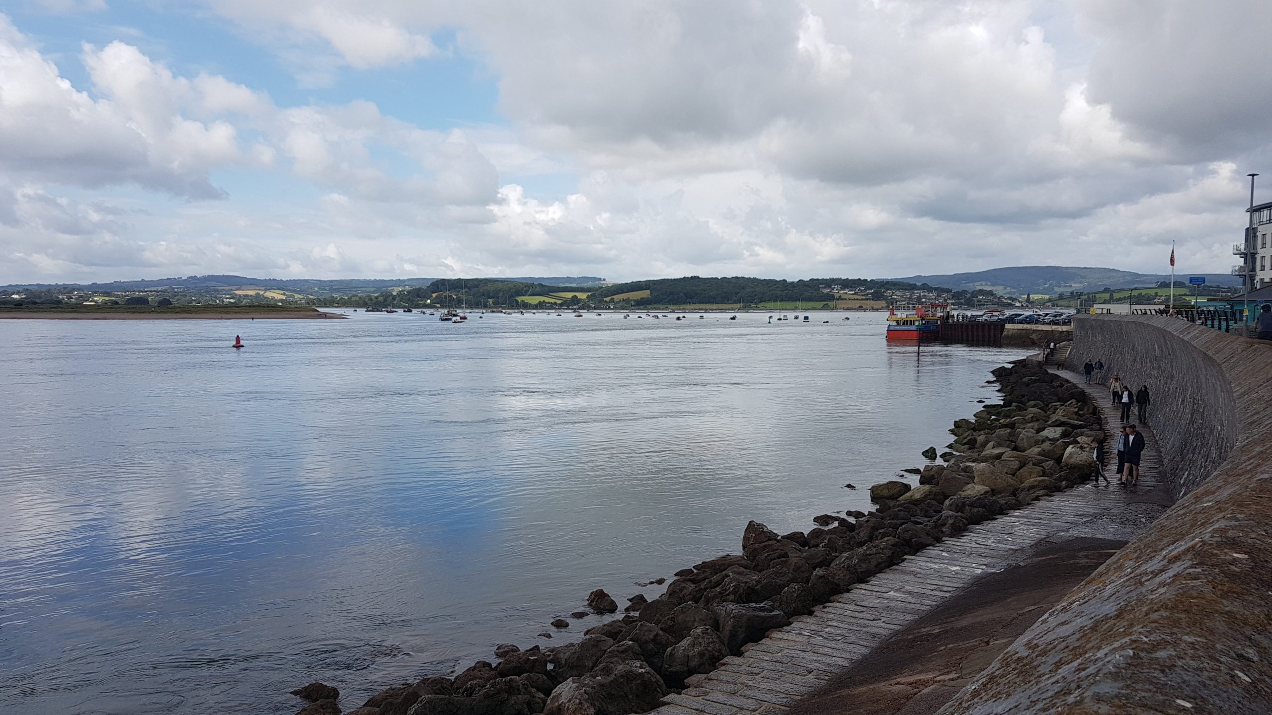
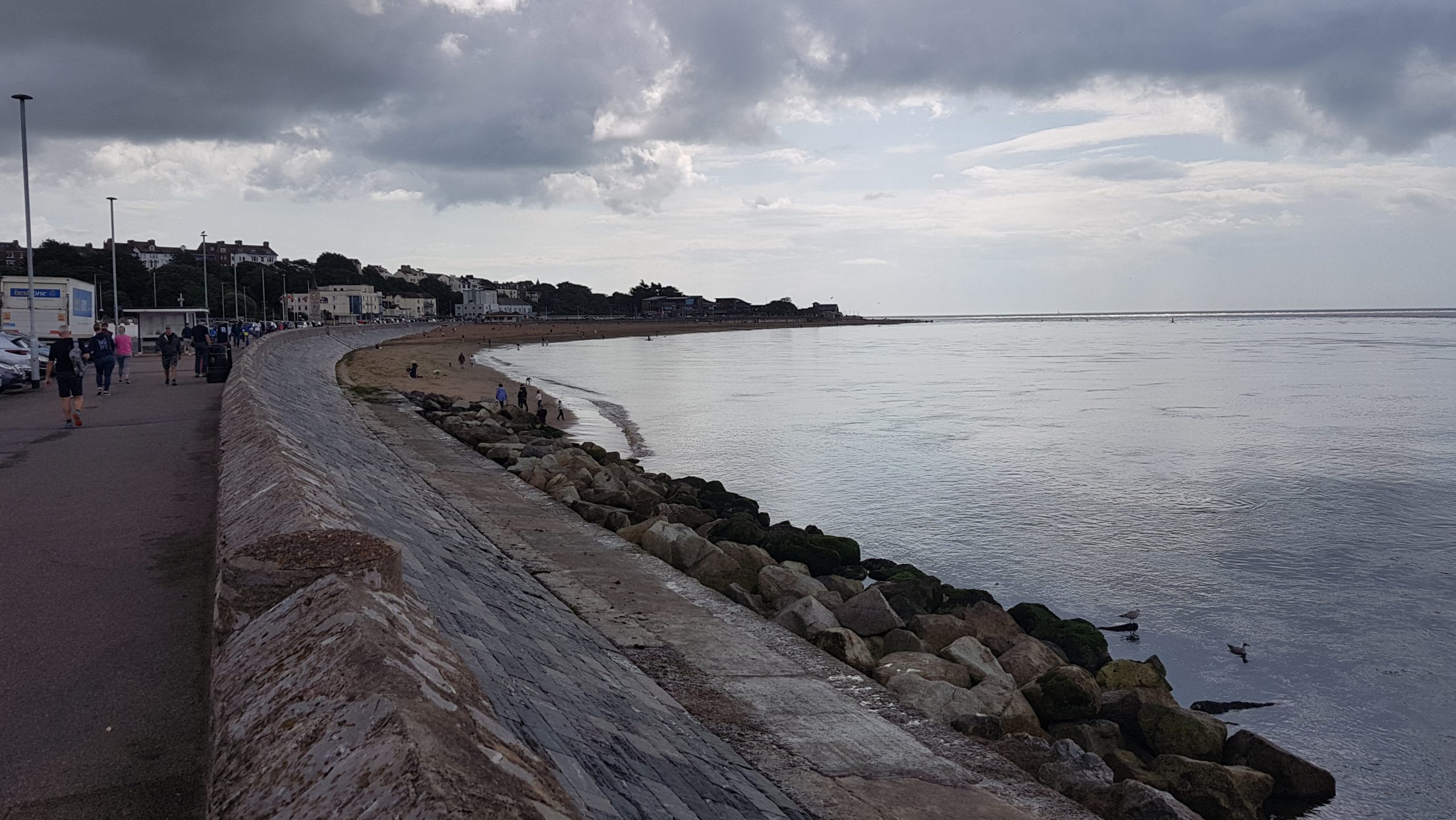
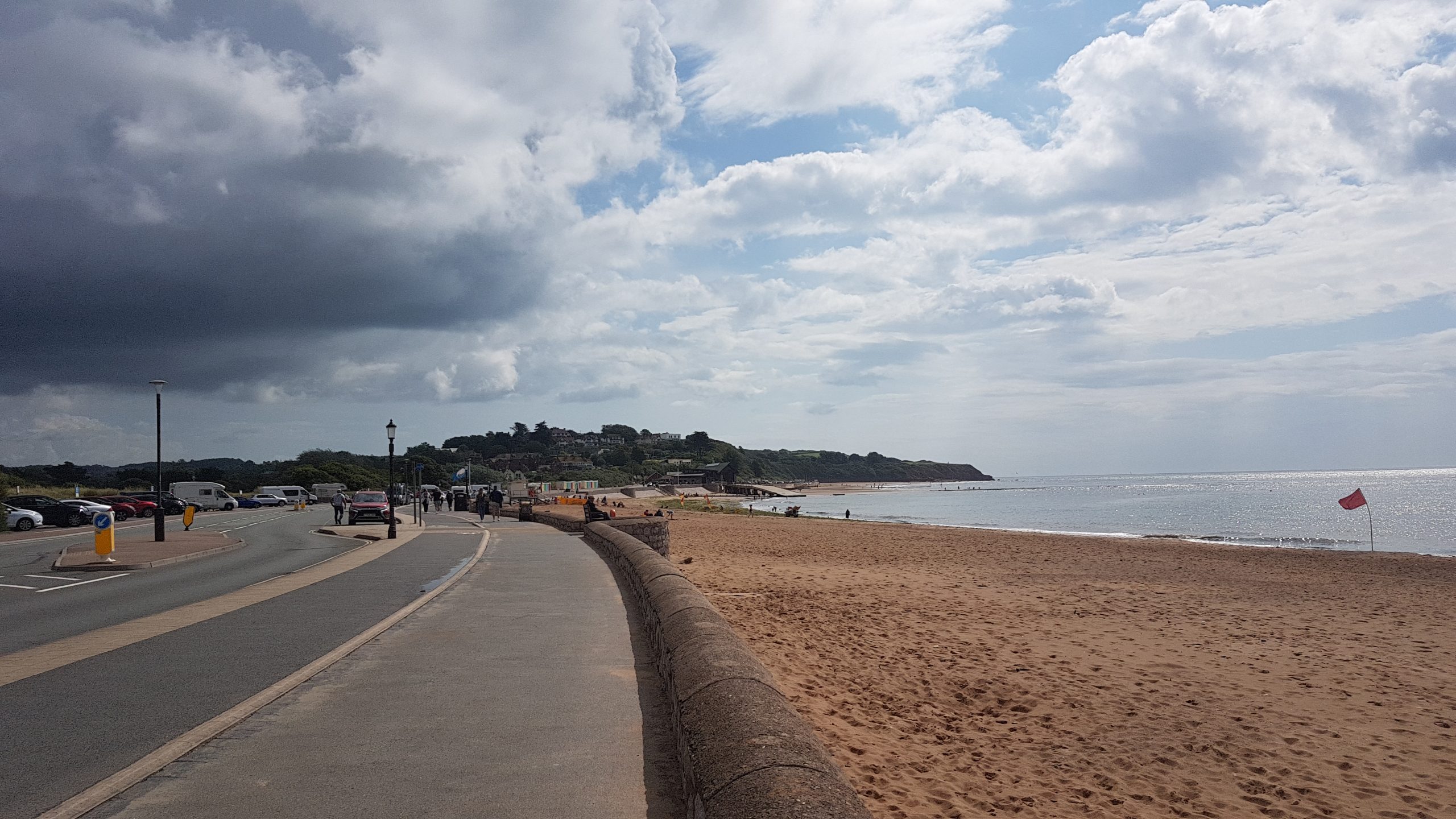
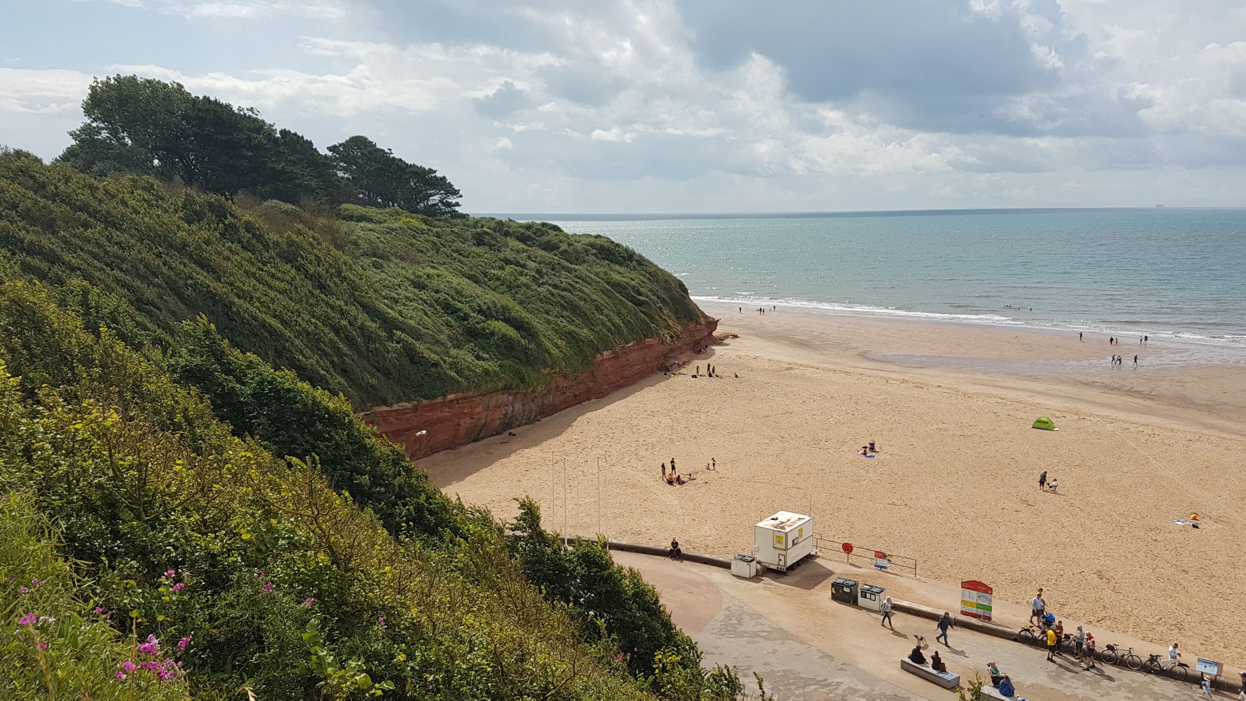
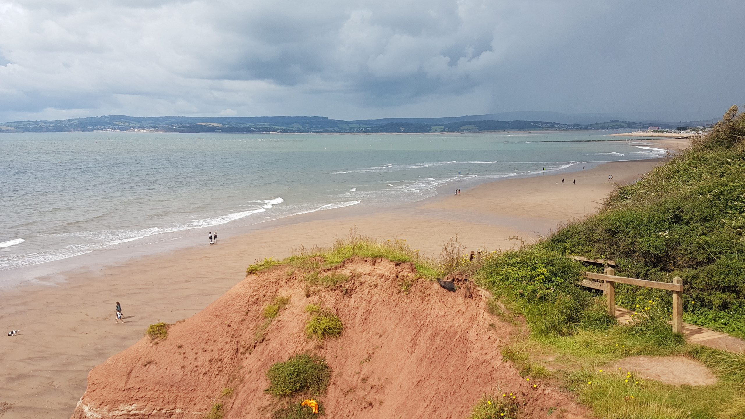
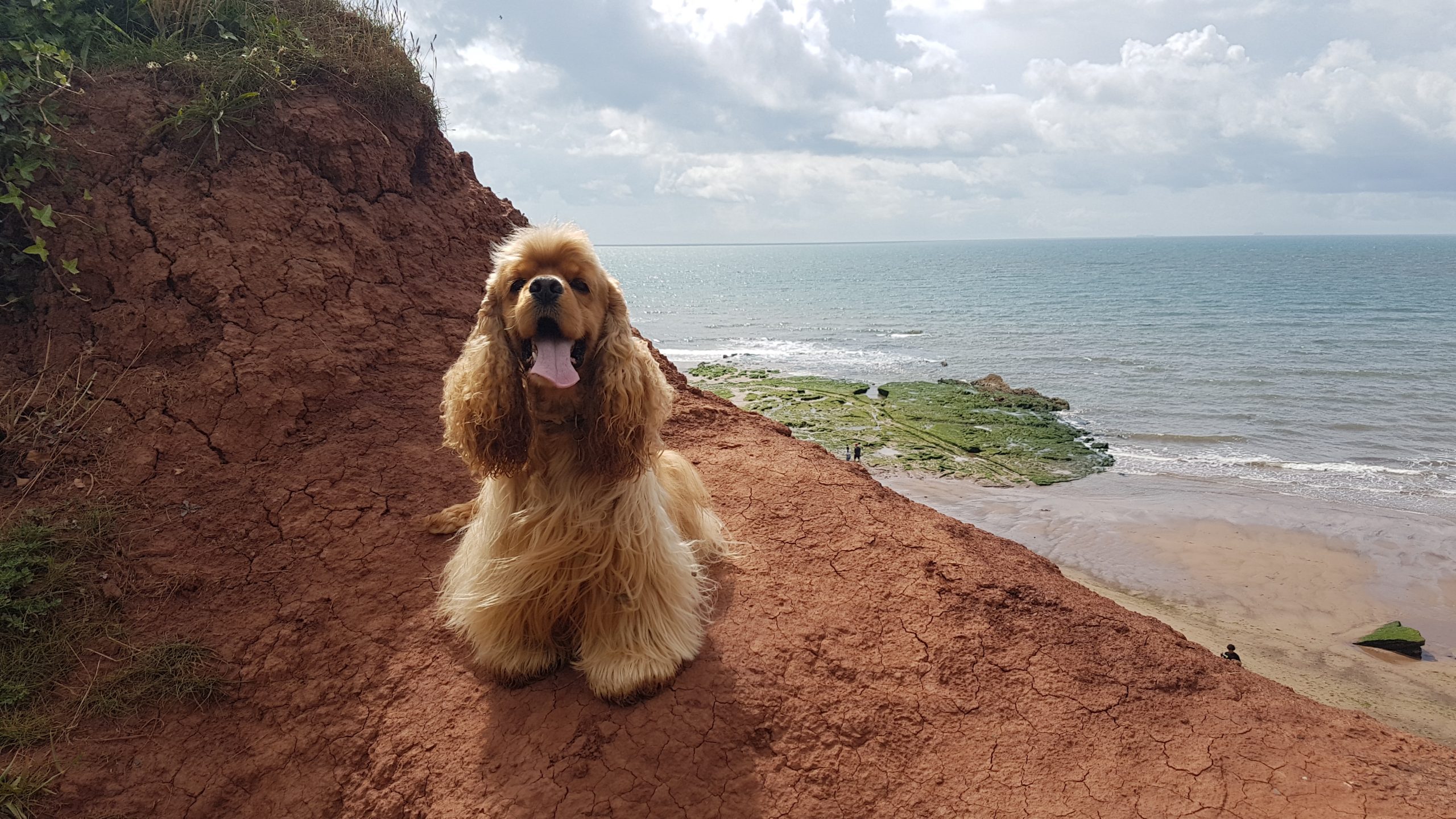
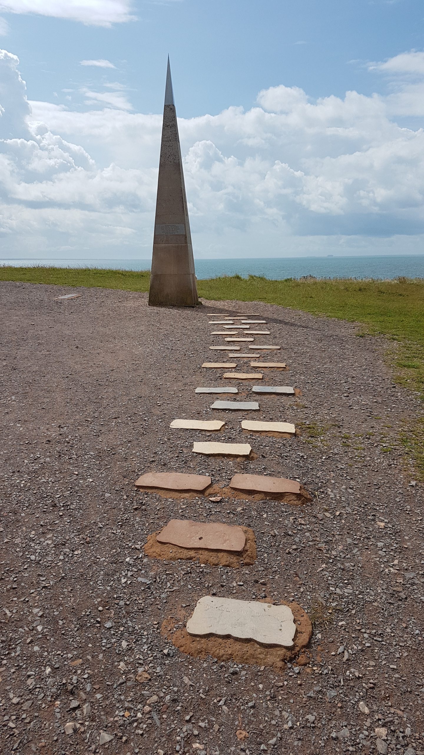
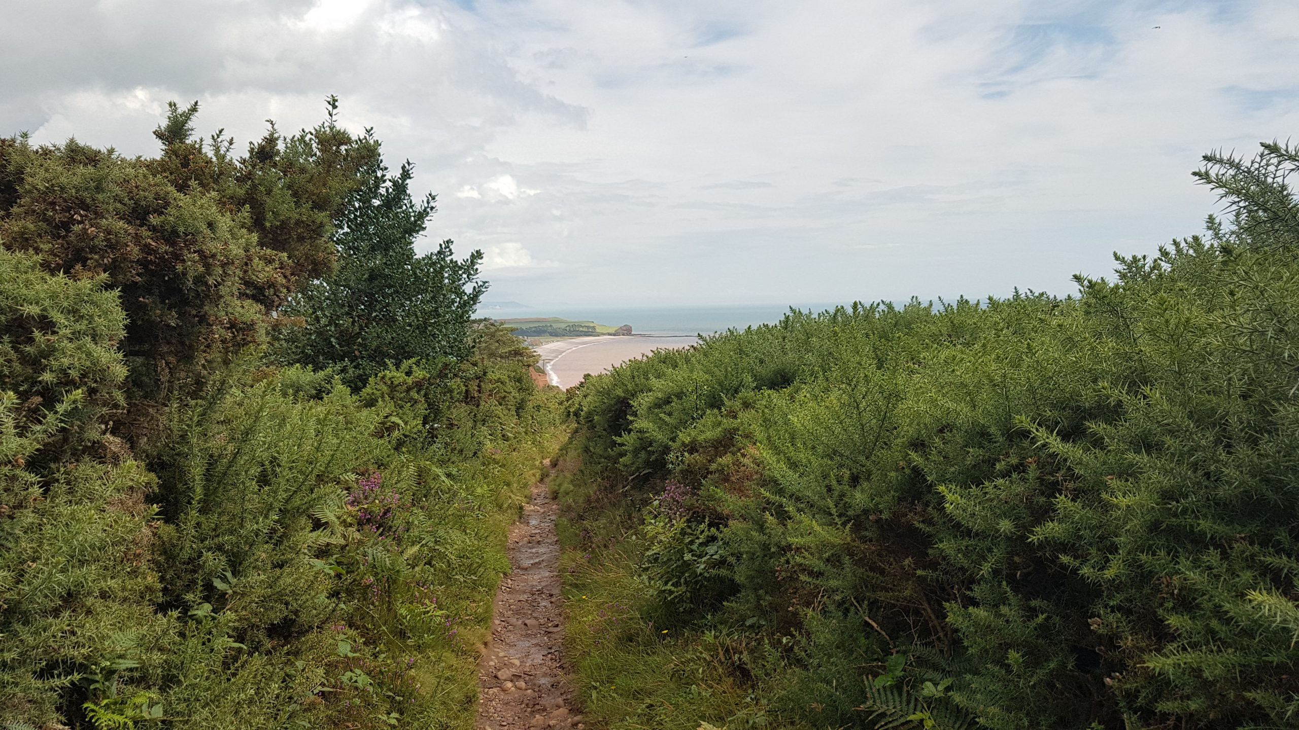
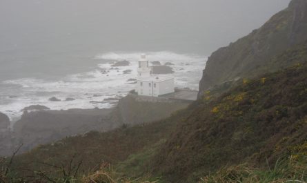
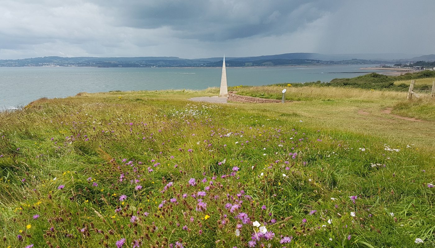
Lucy dropped Brindley and me off for today’s walk by the ferry terminal, and here I look back across the Exe.But today’s walk (and later this week, parkrun for Lucy and me) lies first along the extensive promenade, making for very easy walking – and brisk running as I went on to set what would prove to be my best parkrun time of 2021.It’s got some pleasant sands, though some dangerous currents as the estuary meets the Atlantic.We took advantage of the wall at the end of the prom for a little sit down, where several large dogs rather bothered Brindley, and then took the zig-zag path up the cliff.Looking back across the Exe, with Dawlish visible towards the left.A cheerful Brindley, as the crowds have disappeared and it is safe for him to be off-lead.This obelisk at Orcombe Point is known as the Geoneedle. At the western end of the World Heritage Site of the Jurassic Coast, it shows the rocks exposed along the coast which vary from 250 to 65 million years ago.From here, Brindley and I walked much of the route three times, since I realised as I approached Devon Cliffs Holiday Park that I’d managed to drop Brindley’s lead when I’d stopped to adjust my rucksack and begin using the umbrella I’d borrowed from our holiday cottage. Hiking with a large umbrella isn’t something I’d tried before, but it worked surprisingly well, being much more effective than most clothes at the challenging scenario of keeping me dry but not ridiculously hot and sweaty – it won’t work when the rain is combined with much wind, of course.
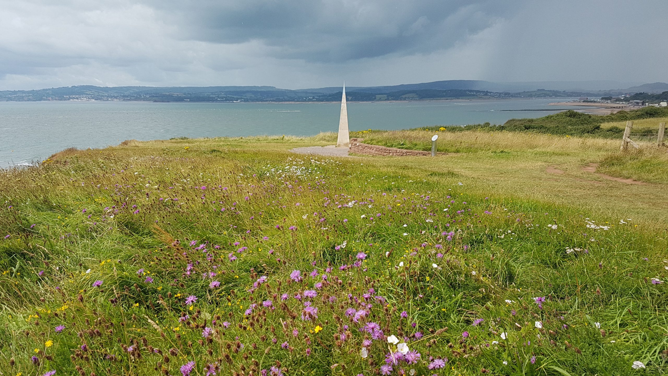
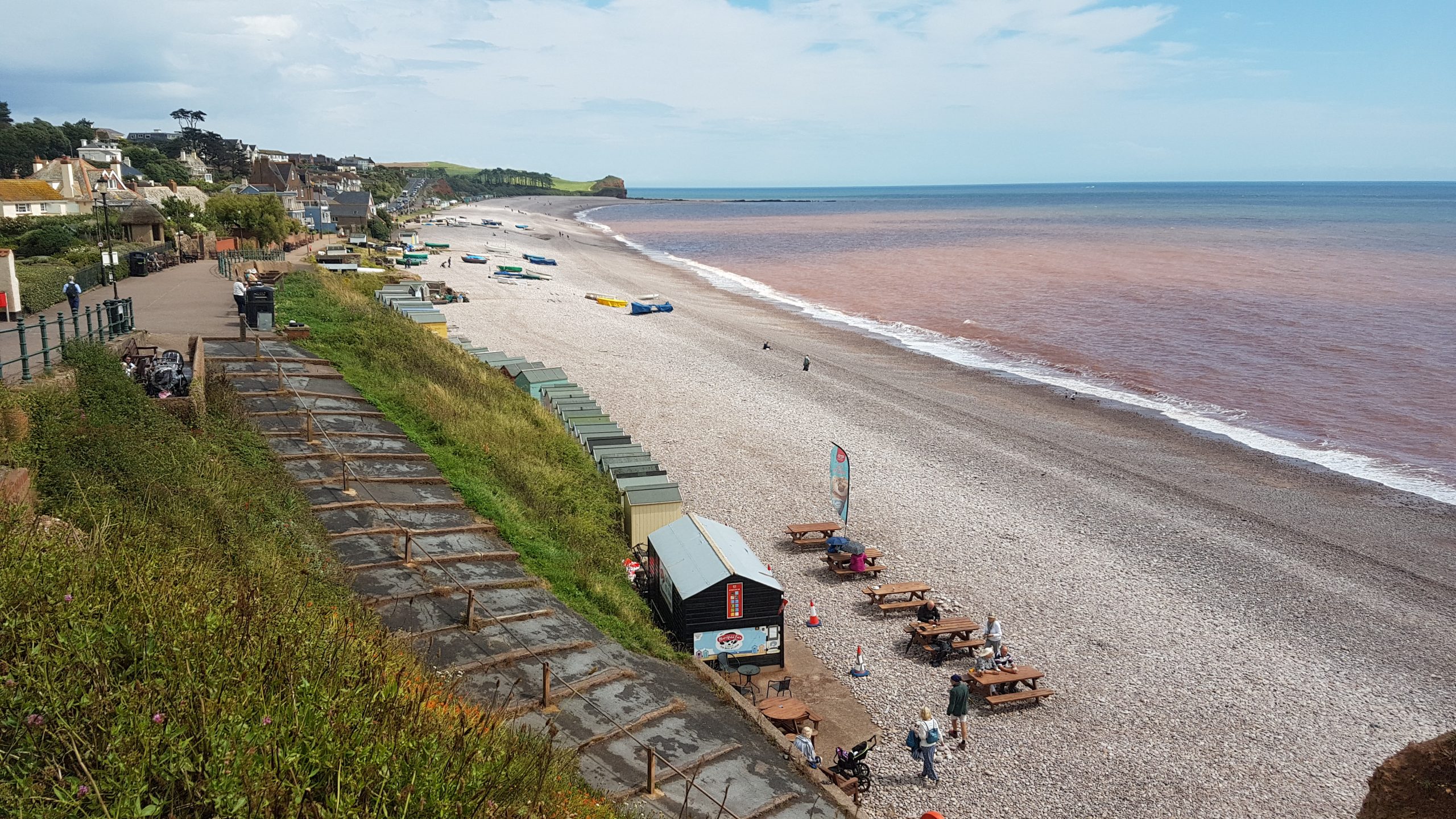
Eventually reaching the huge Holiday Park, we slipped between it and the Straight Point Rifle Range, the holiday park at least providing a green route through for us – and a table and bench for us to sit at for a little break.We climbed up out of the holiday park and continued the climb to the top of West Down Beacon, after which it was a gradual descent to the bay of Budleigh Salterton, seen here with Danger Point and Otterton Ledge beyond.Approaching the welcome facilities of Budleigh Salterton – including some shelter from the next heavy rain shower.
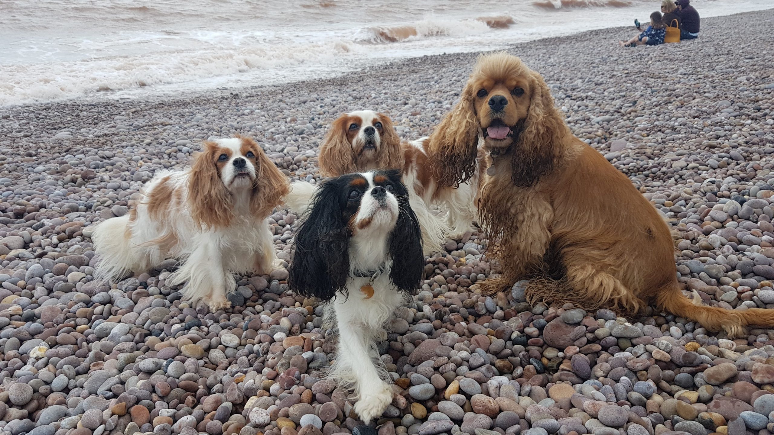
At the far end of the front we approached the River Otter – this was the extent of the South West Coast Path for today, but as Lucy was at a dog show near Exeter, I’d planned for us to turn inland and return towards Exmouth along a former railway line, and potentially continue along the cycle path which parallels the current railway up the Exe as far as Topsham. How far we got along the day’s walk extension depended on how things went at the show – it didn’t really matter to Brindley and me.Having navigated through the suburbs of Budleigh Salterton, we’ve found the former railway line, which made for pleasantly shaded and easy walking on modest gradients. Soon contact was made with Lucy and we arranged for her to pick us up near the B3179/B3178 junction.Afterwards we all headed back into Budleigh Salterton for a little stretch of legs on the beach for Lucy and the show dogs.

 by
by