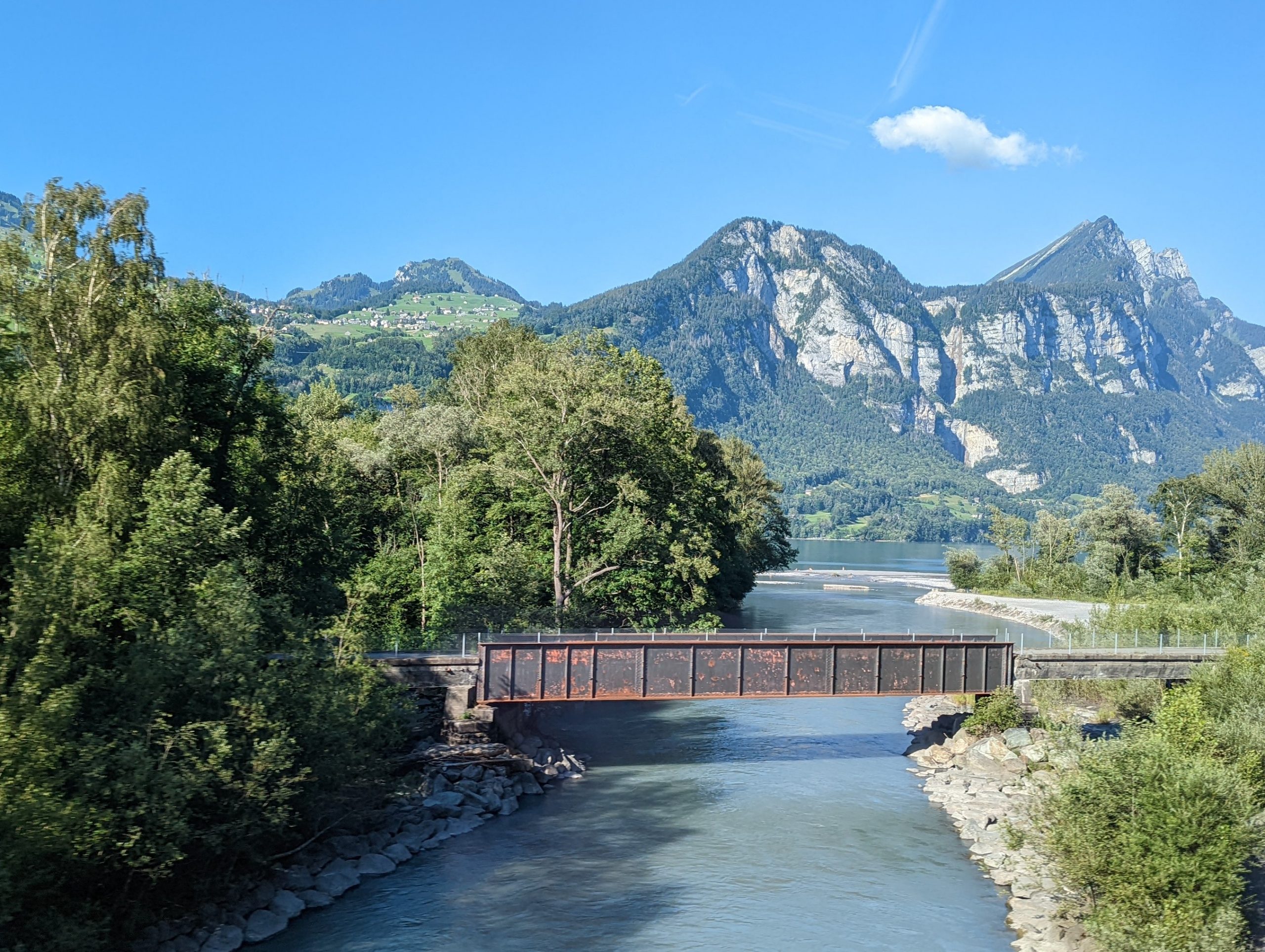
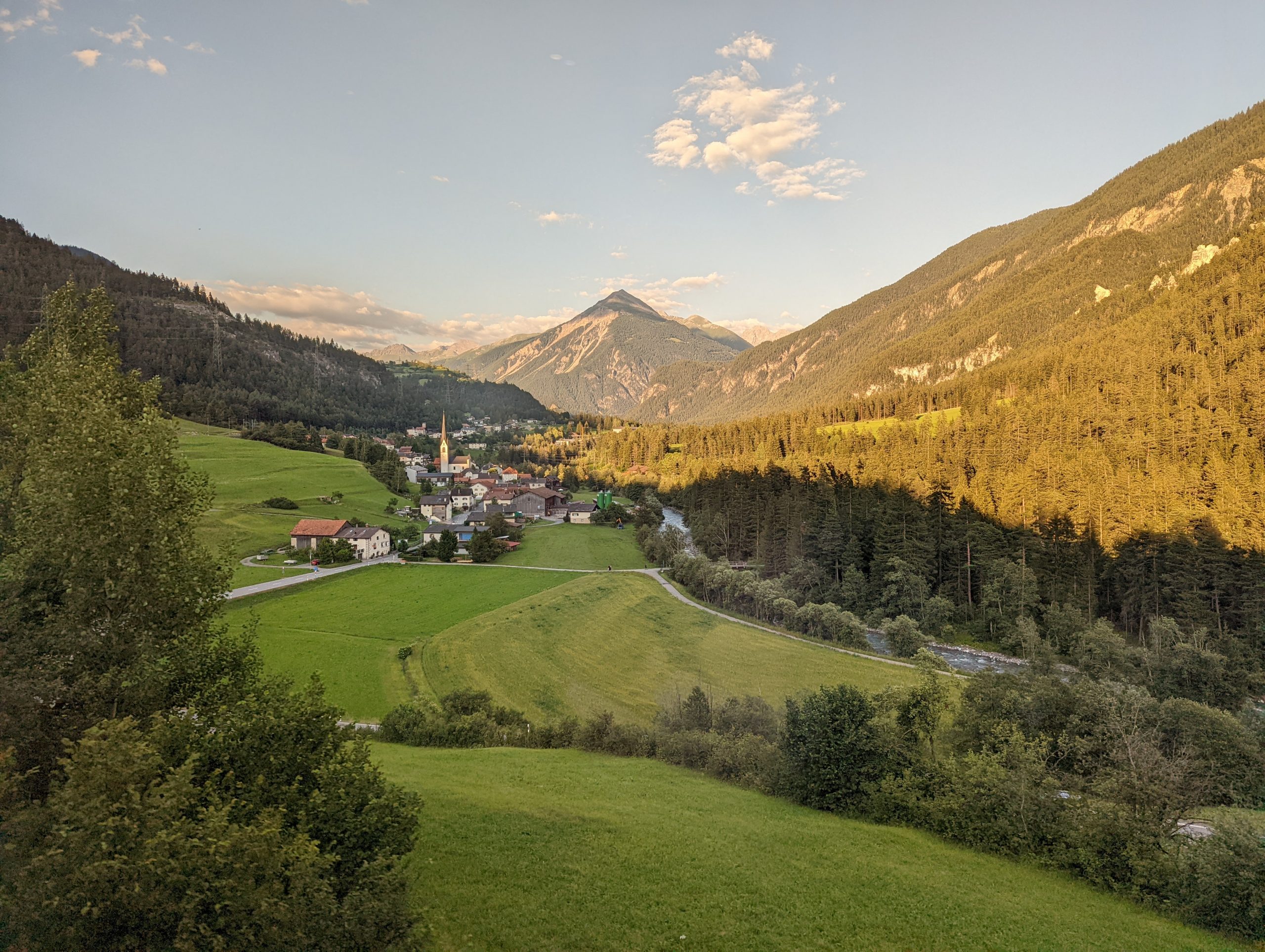
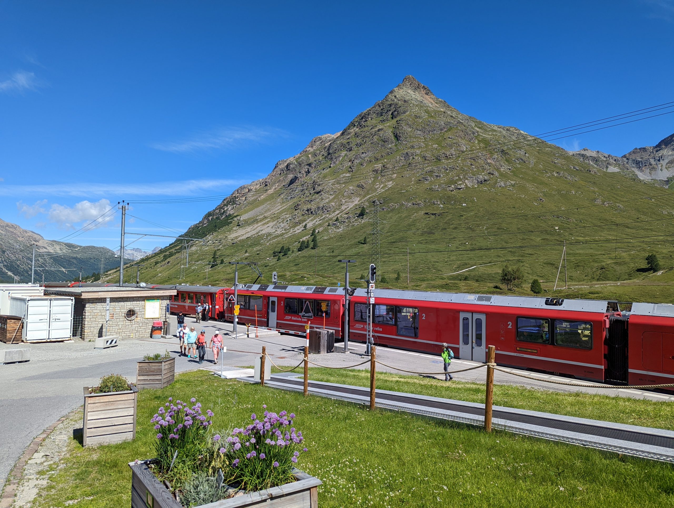
We landed at Zürich airport and took a short link into the centre of Zürich, from where it was an Intercity train to Chur. The journey along Lake Zurich and then the smaller Lake Walen is lovelyWe changed at Chur for the metre-gauge Rhaetian Railway, the beauty of the scenery starting good and improving through the journey.
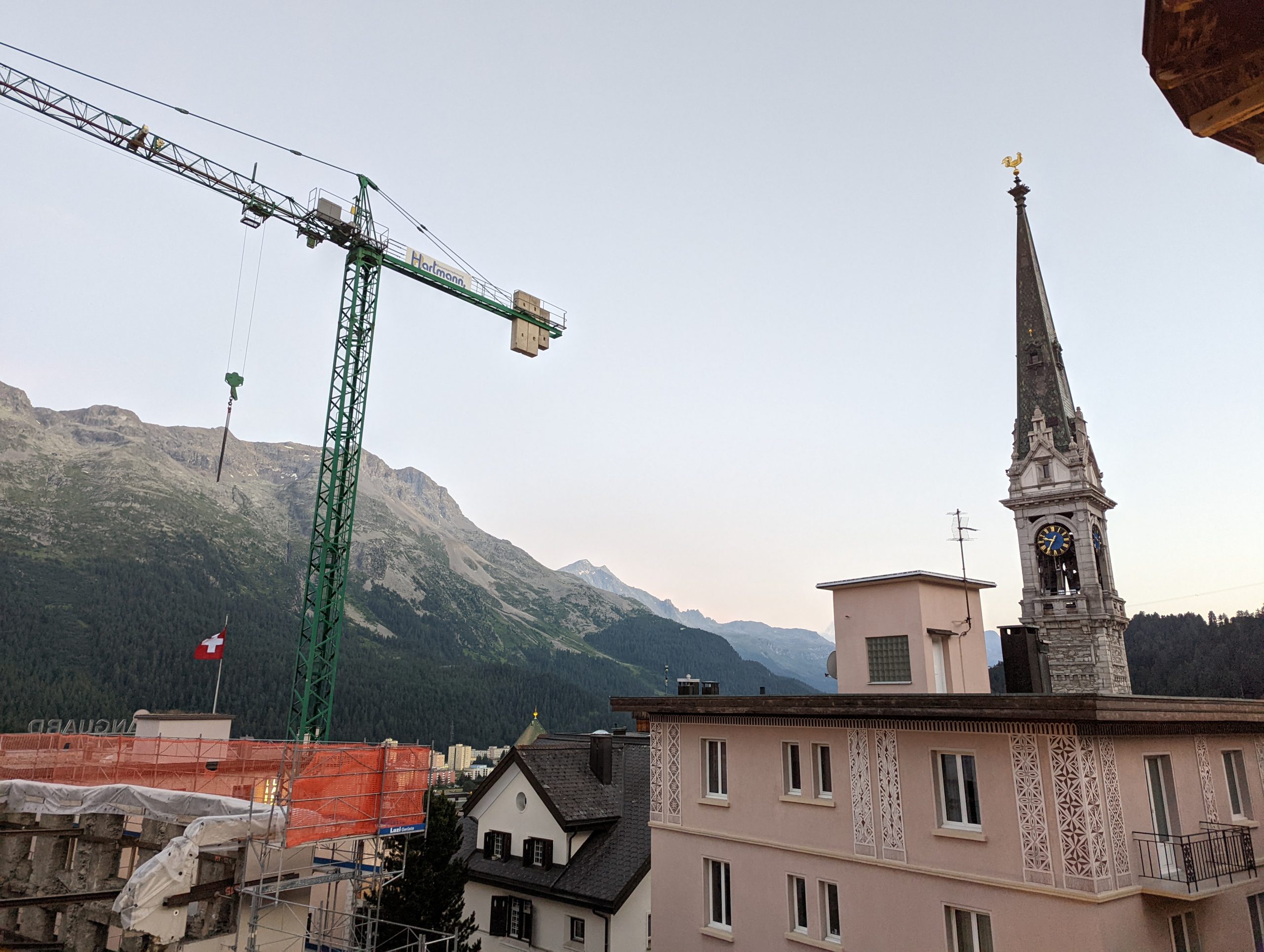
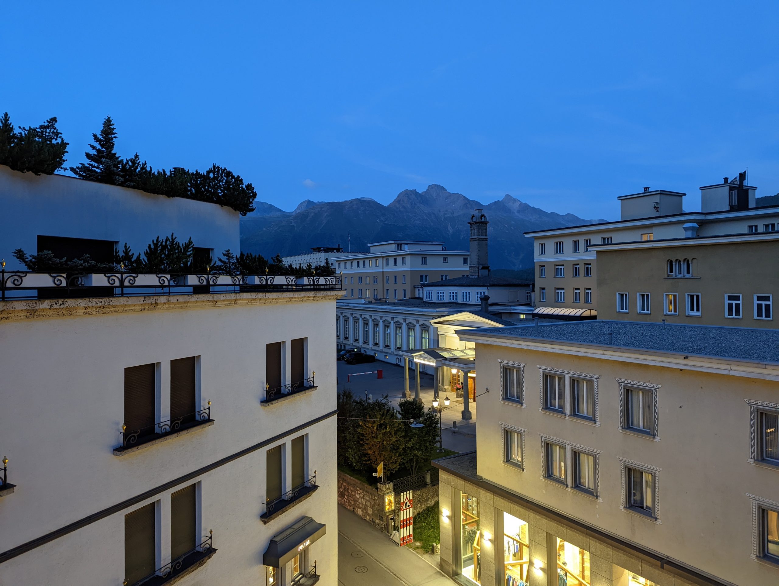
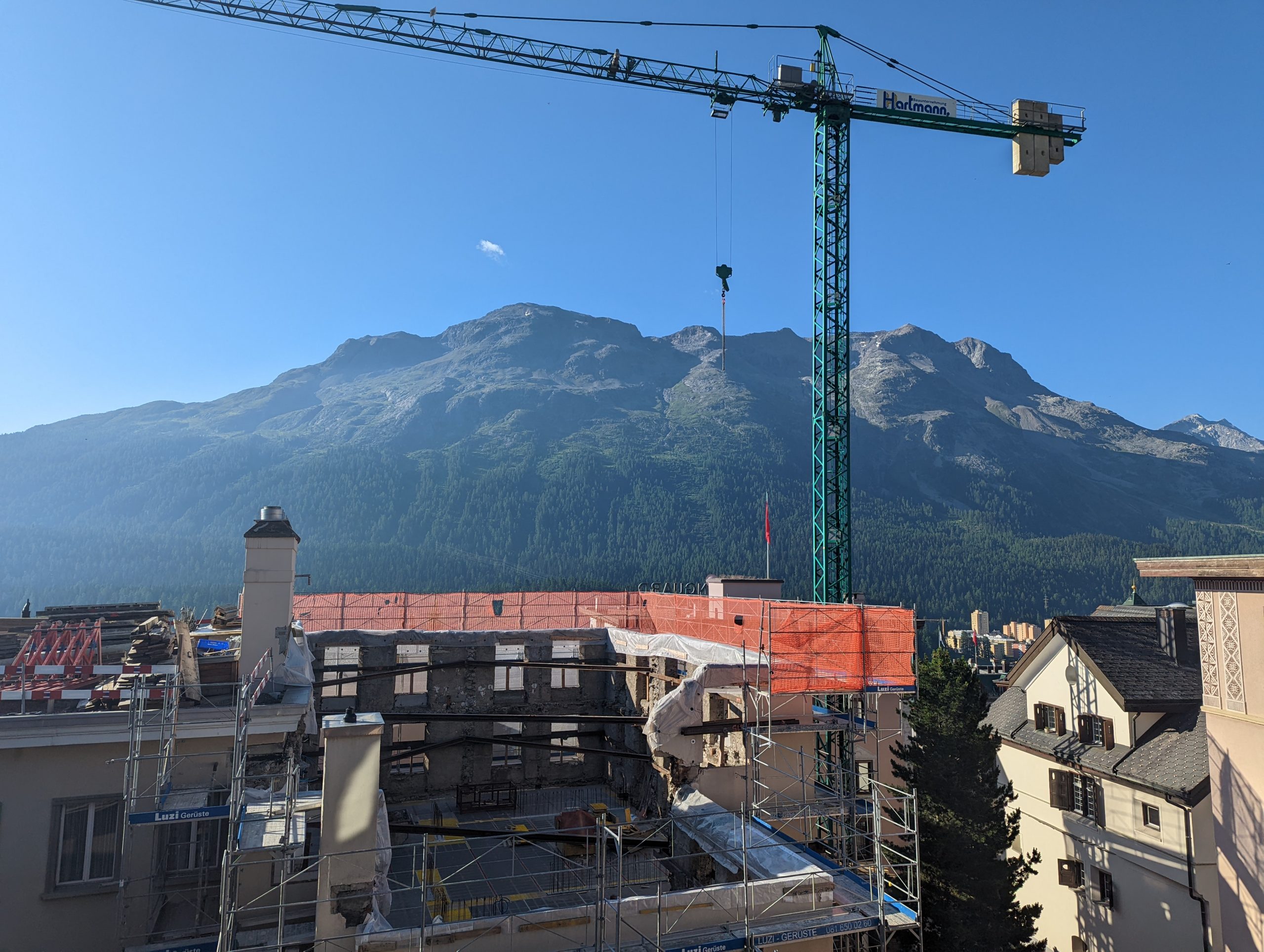
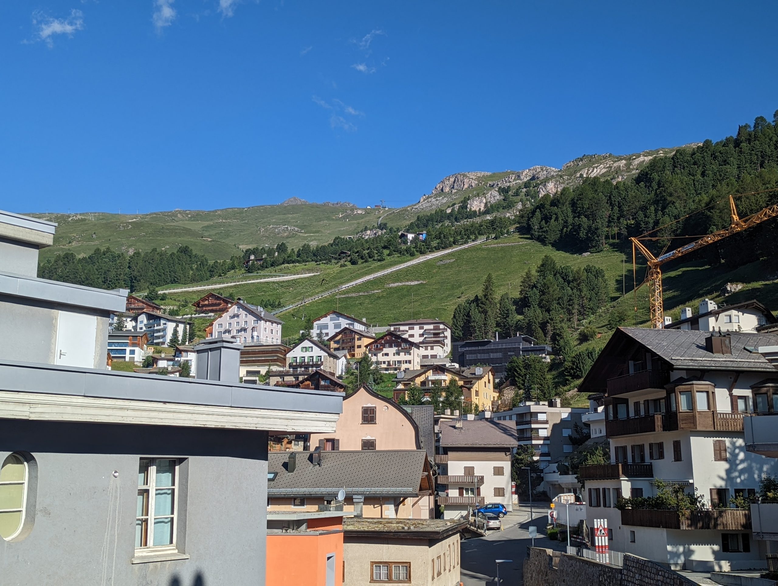
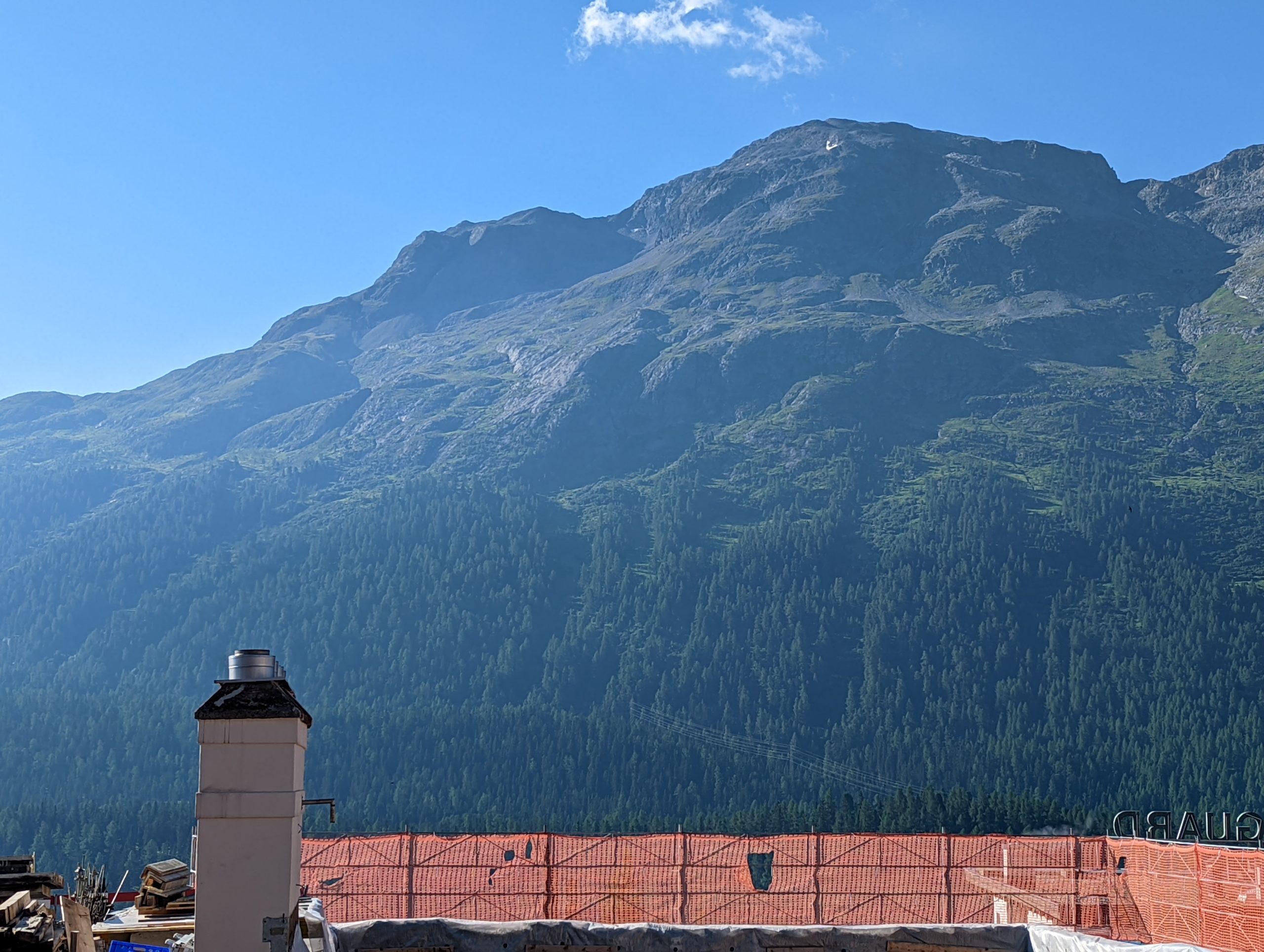
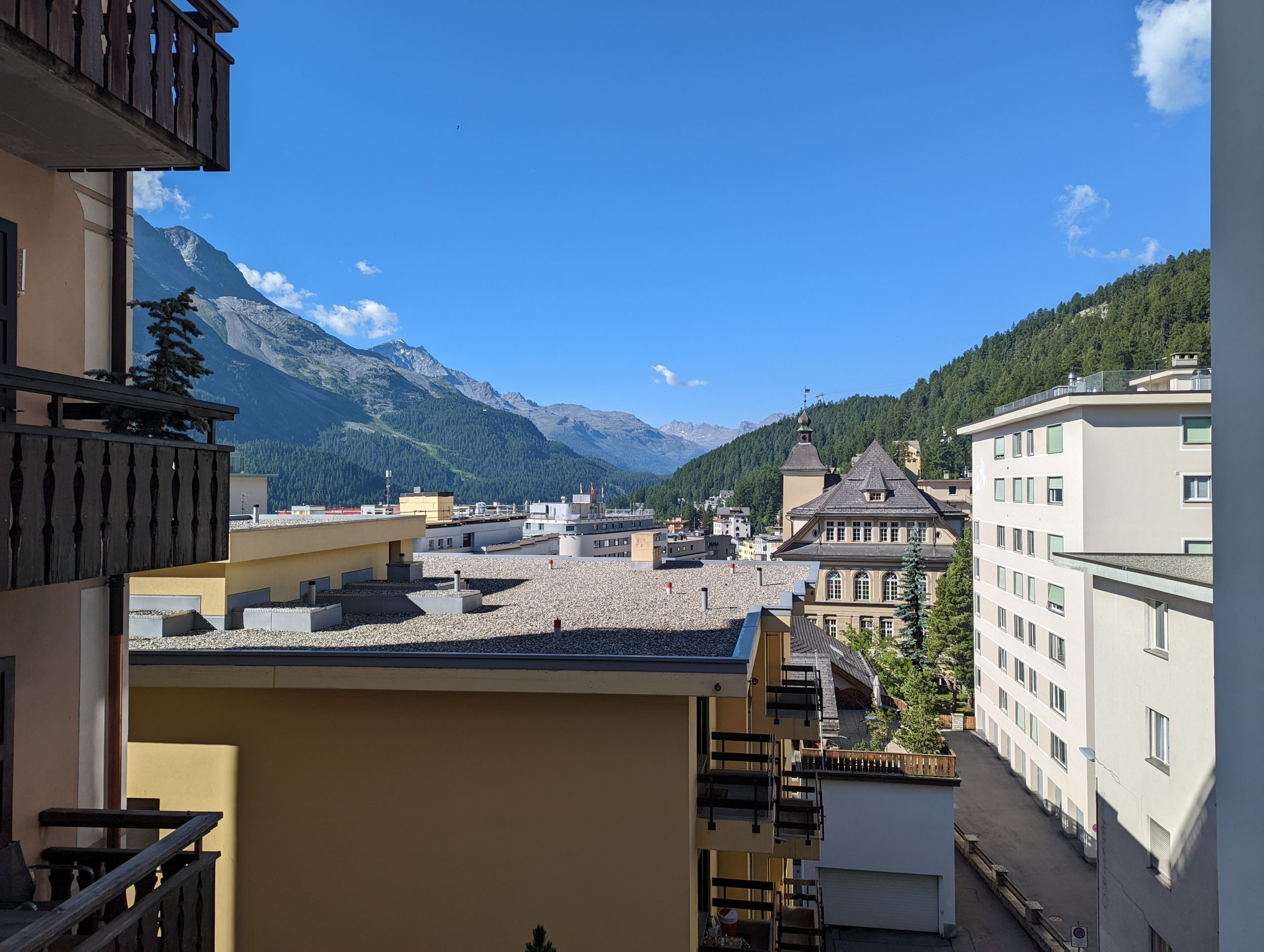
At St Moritz, in view of our suitcases and the stiff climb ahead, we took a taxi up to our apartment for the week.Views from the apartment on Saturday evening and Sunday morning. A slight shame about the construction works in front, but it was still a good view to the south and west.
Sunday – Piz Nair
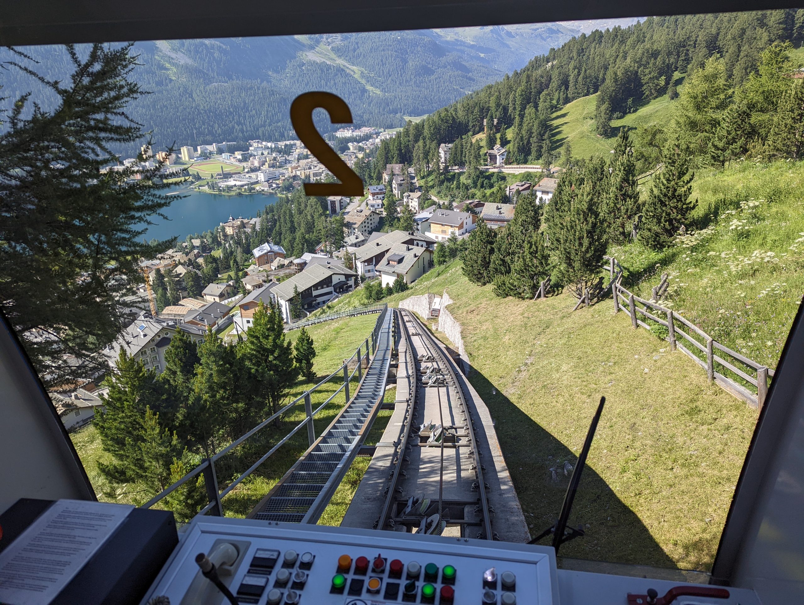
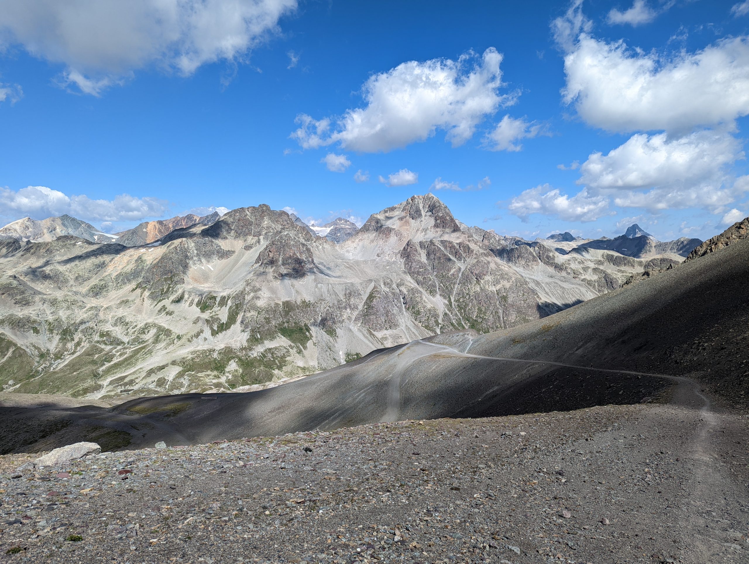
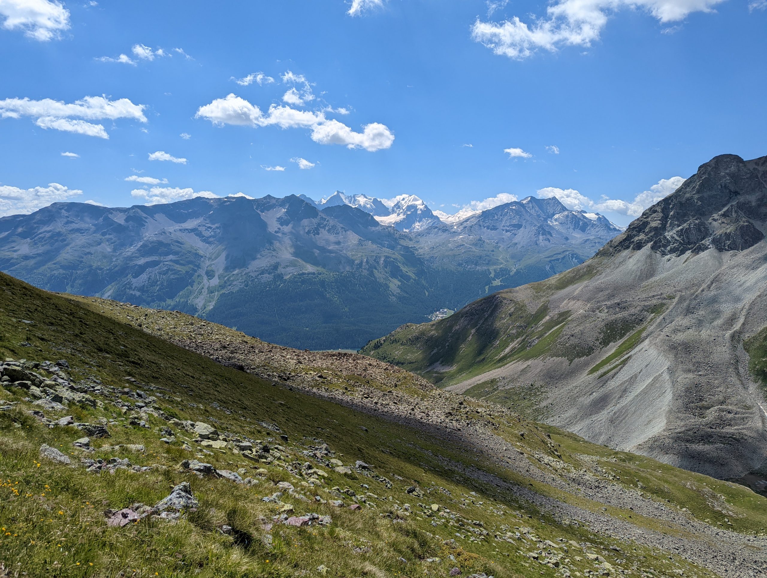
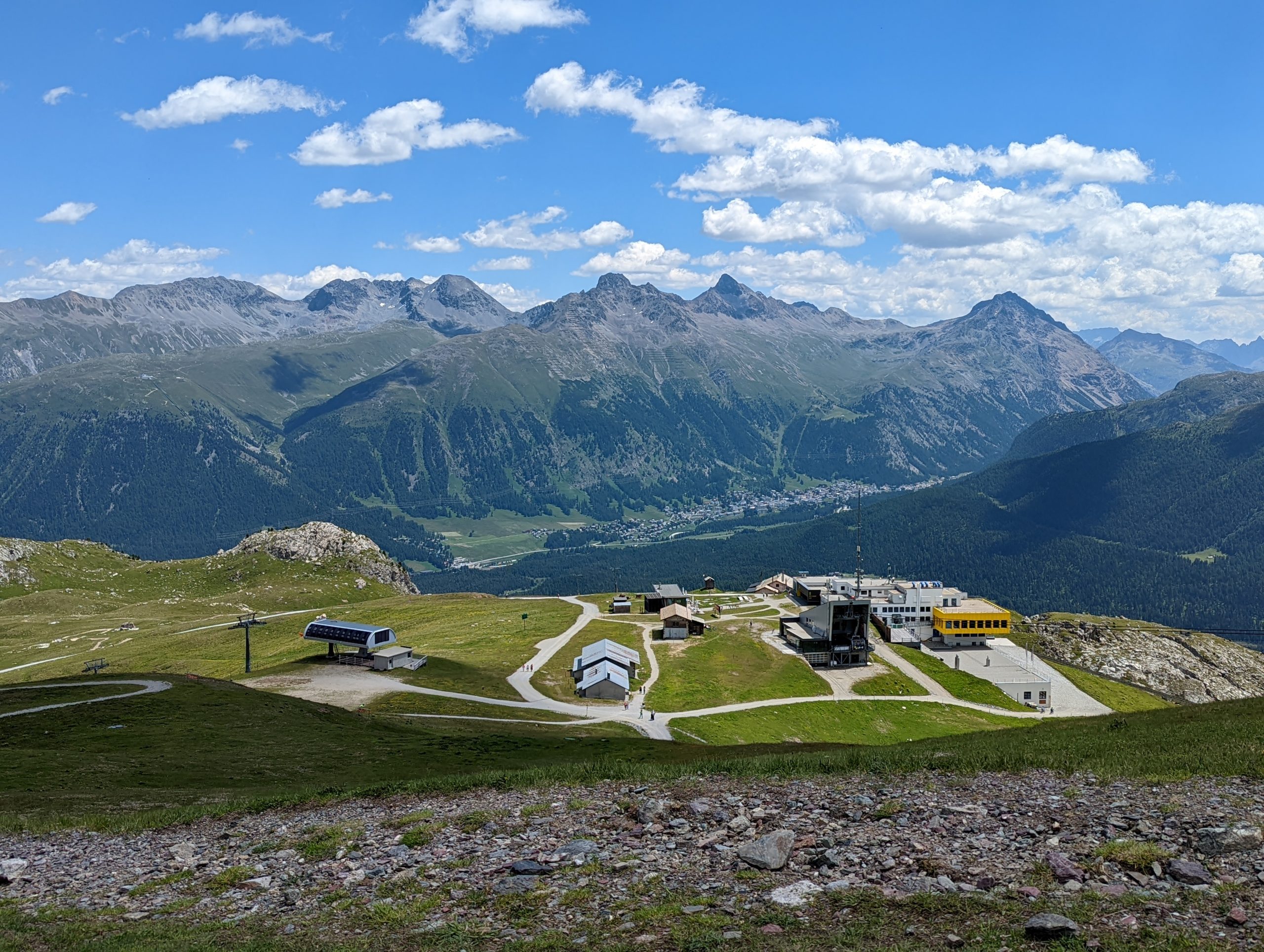
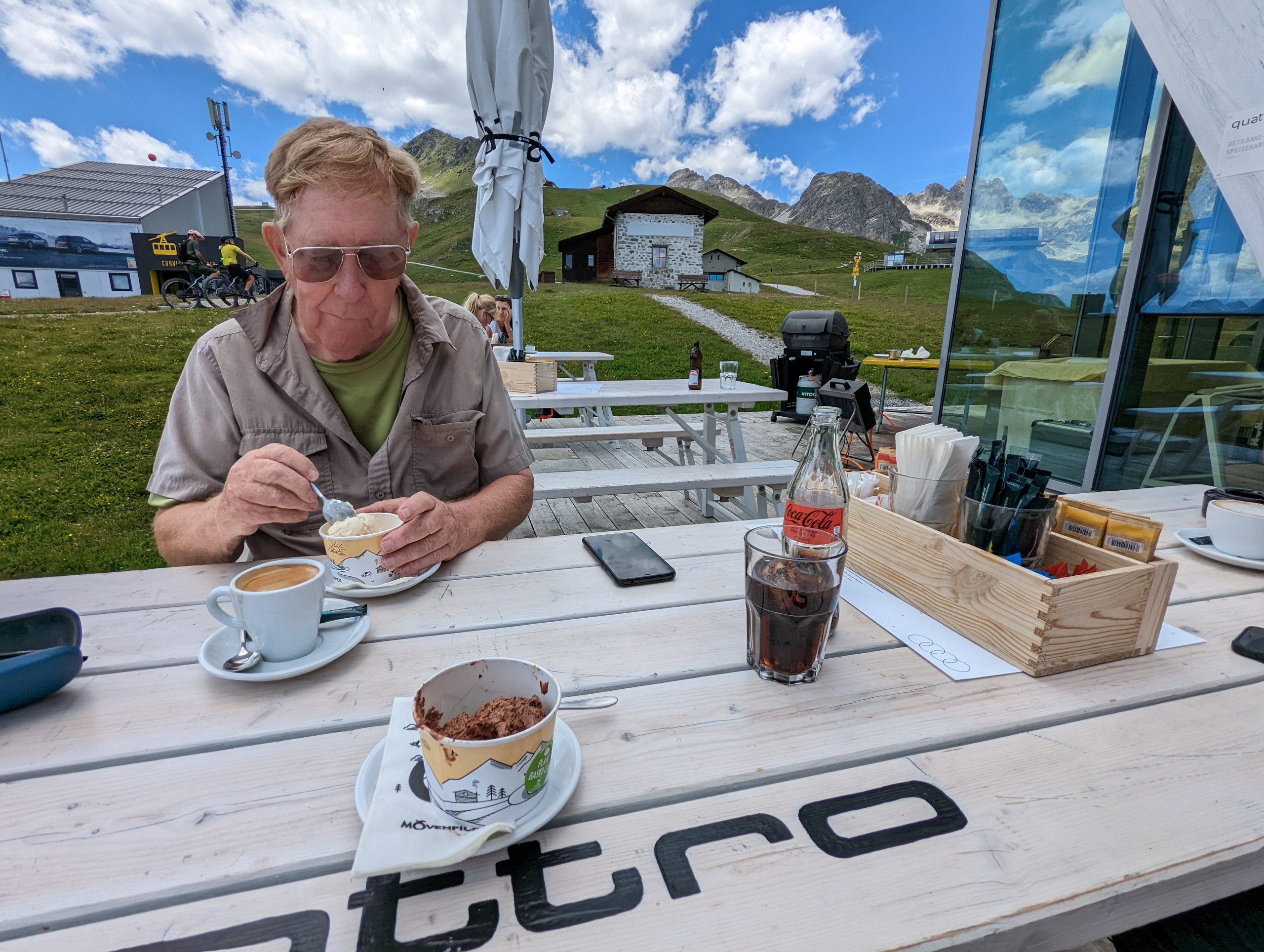
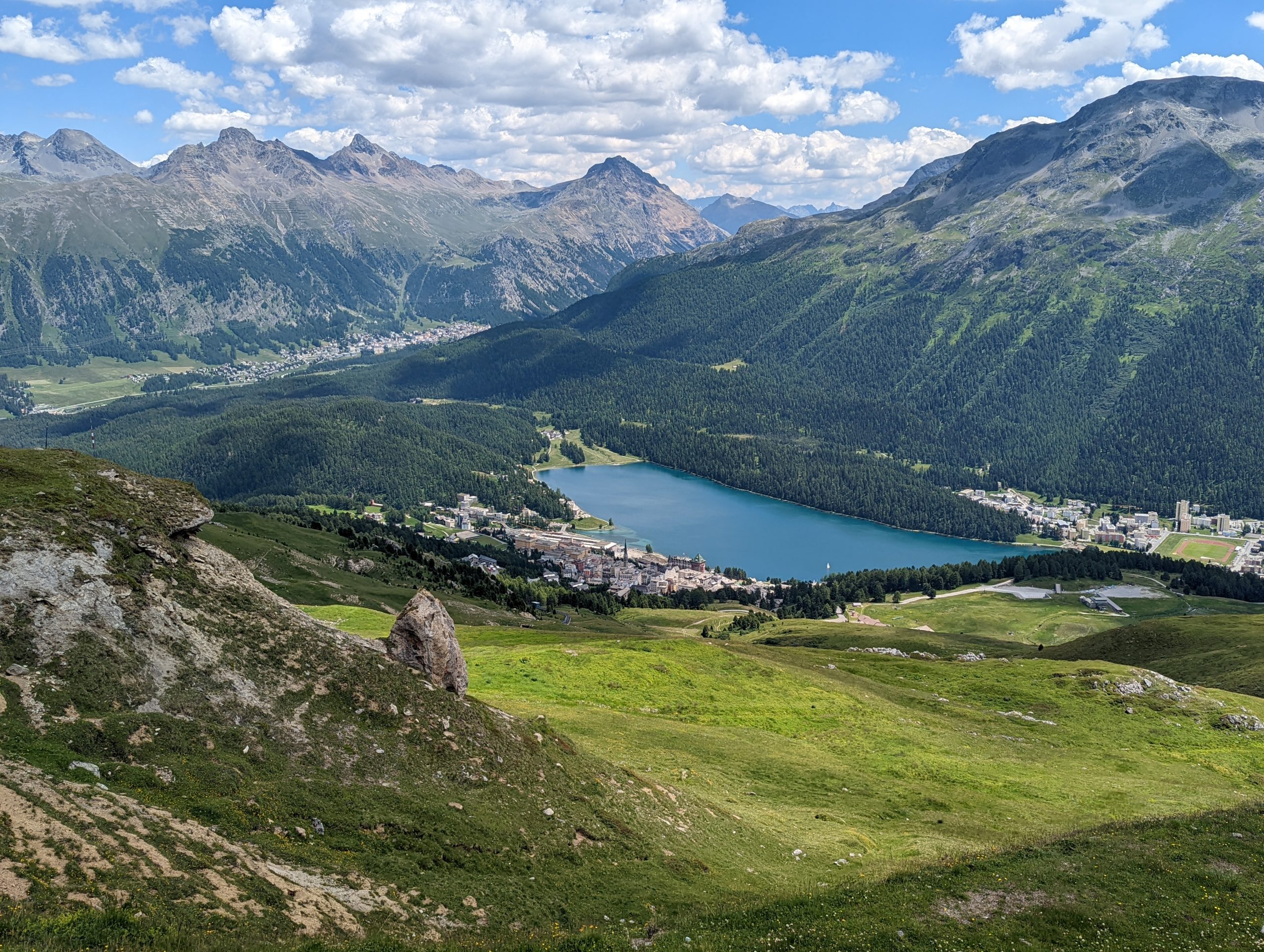
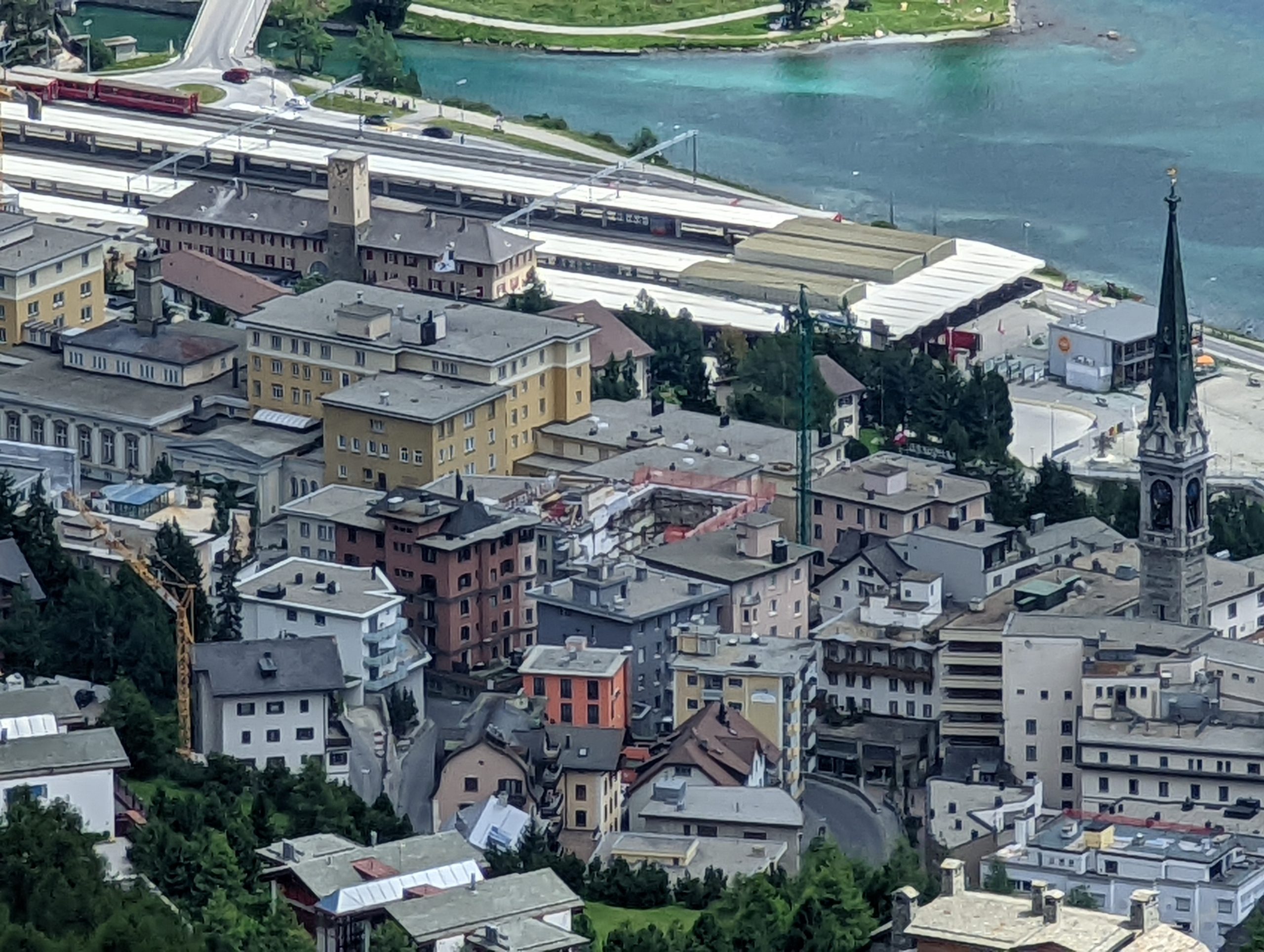
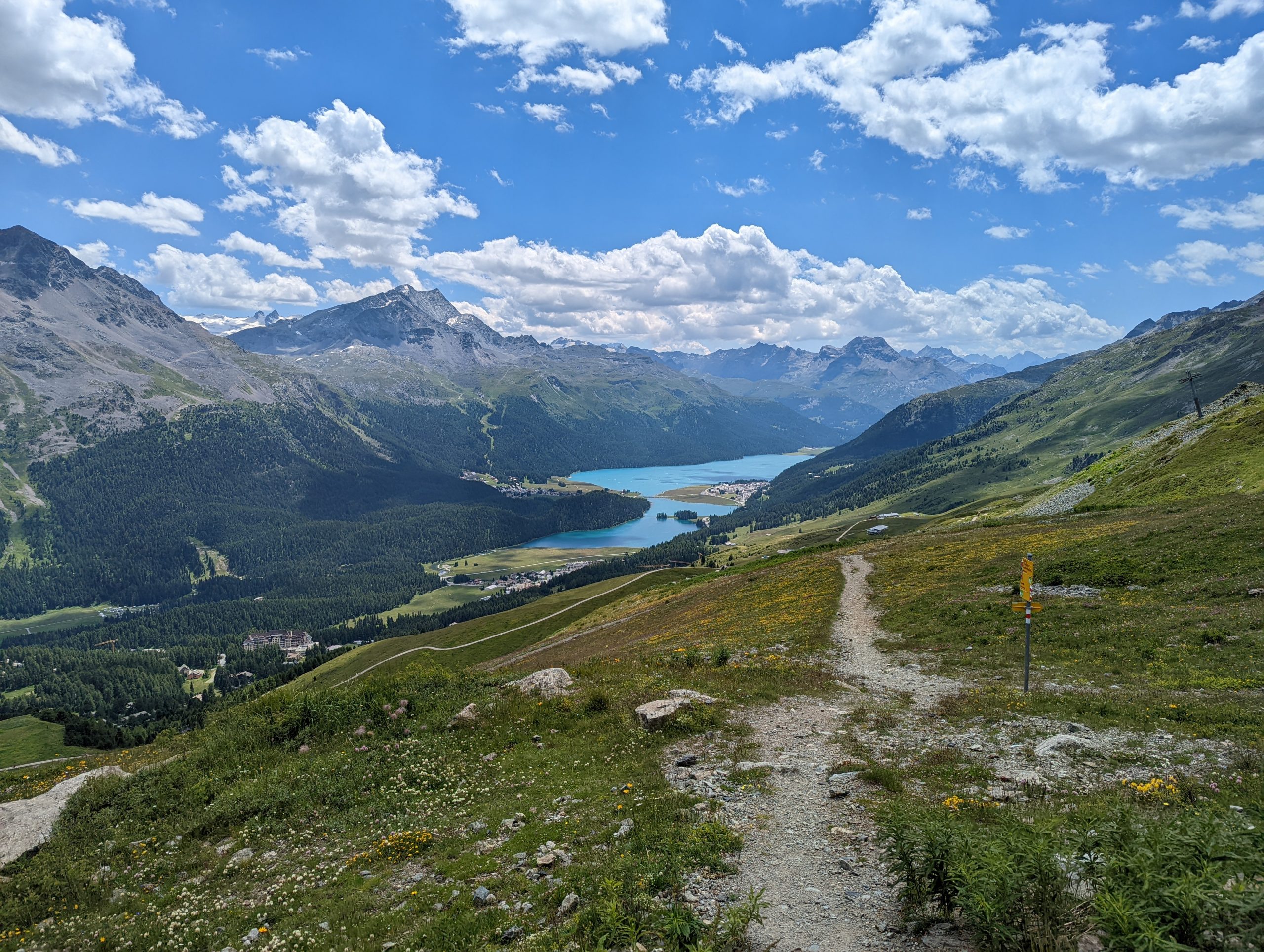
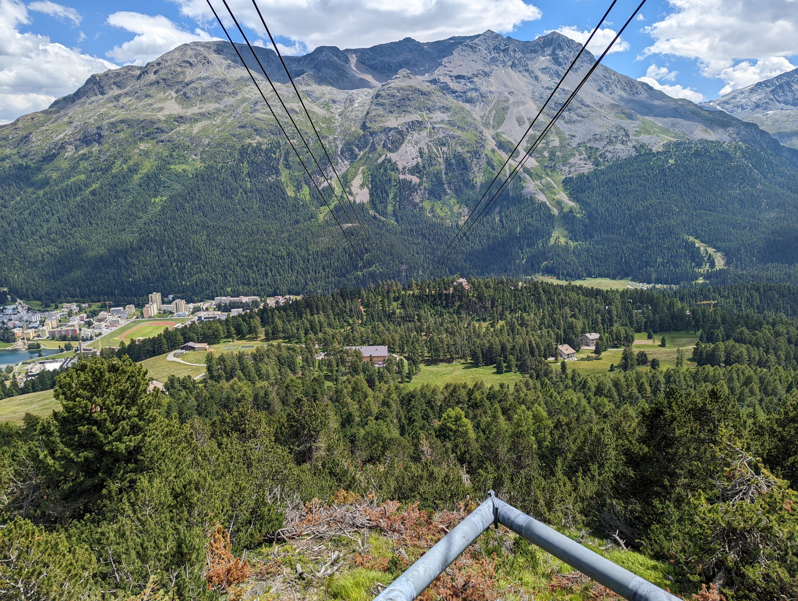
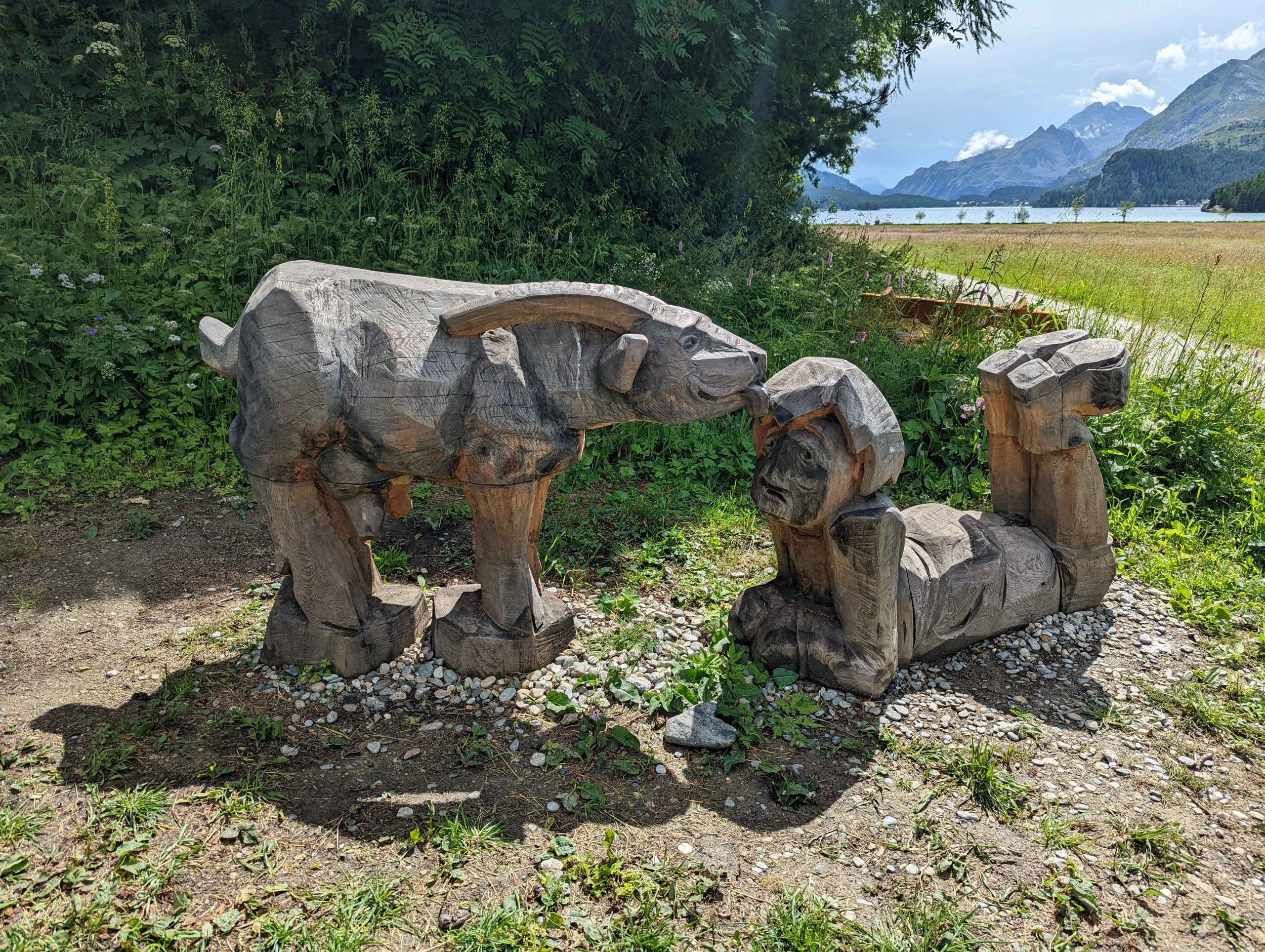
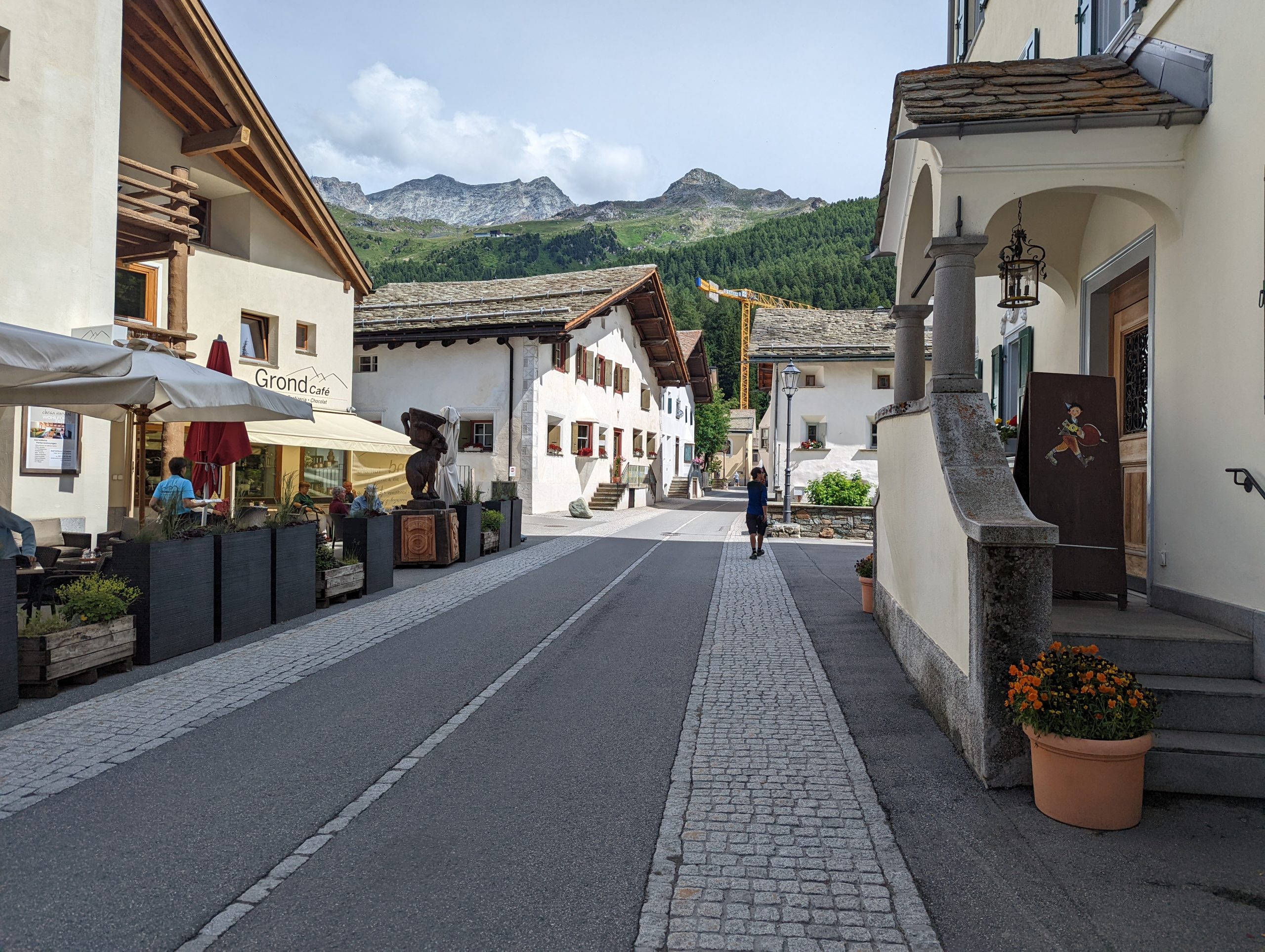
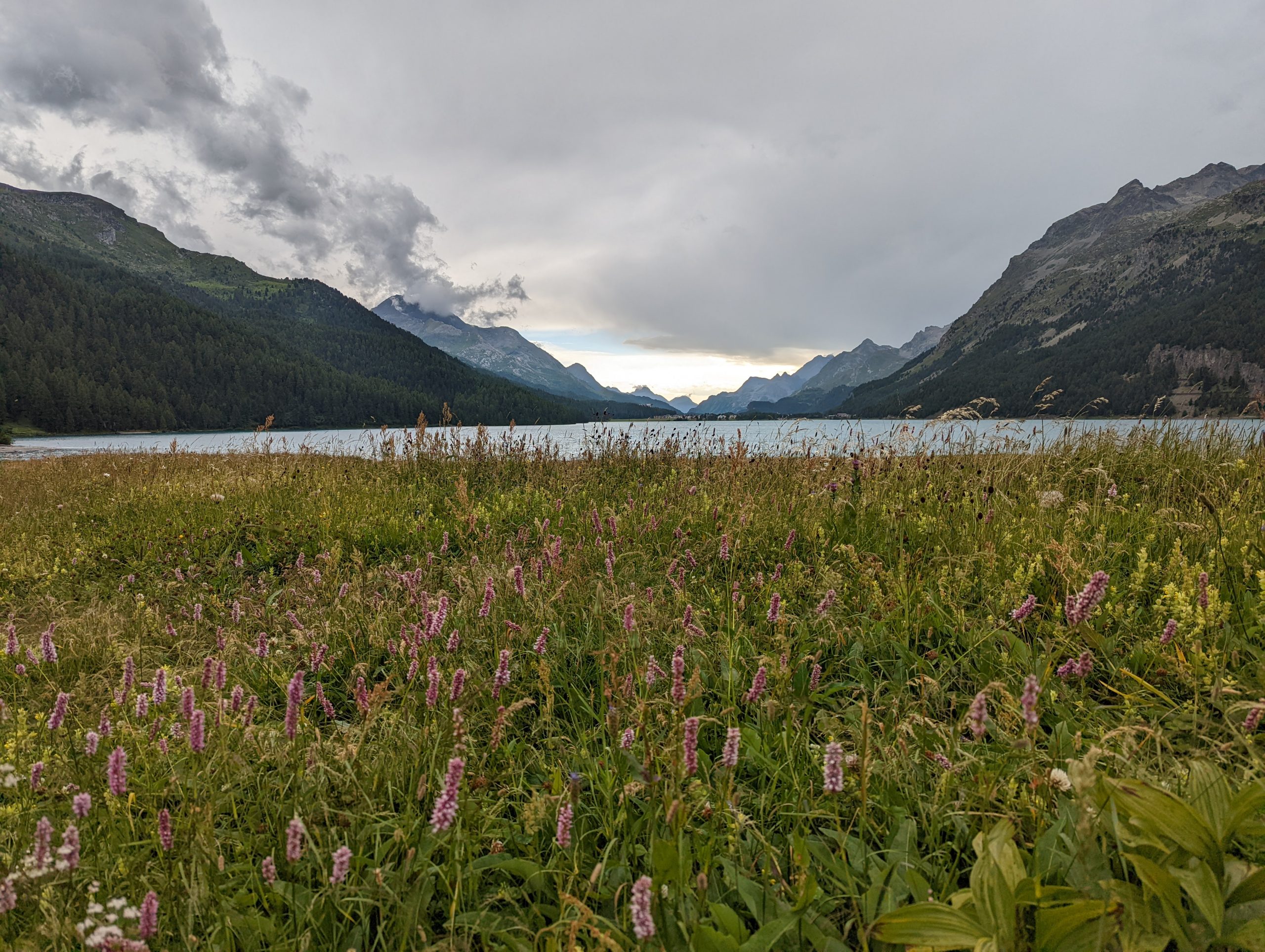
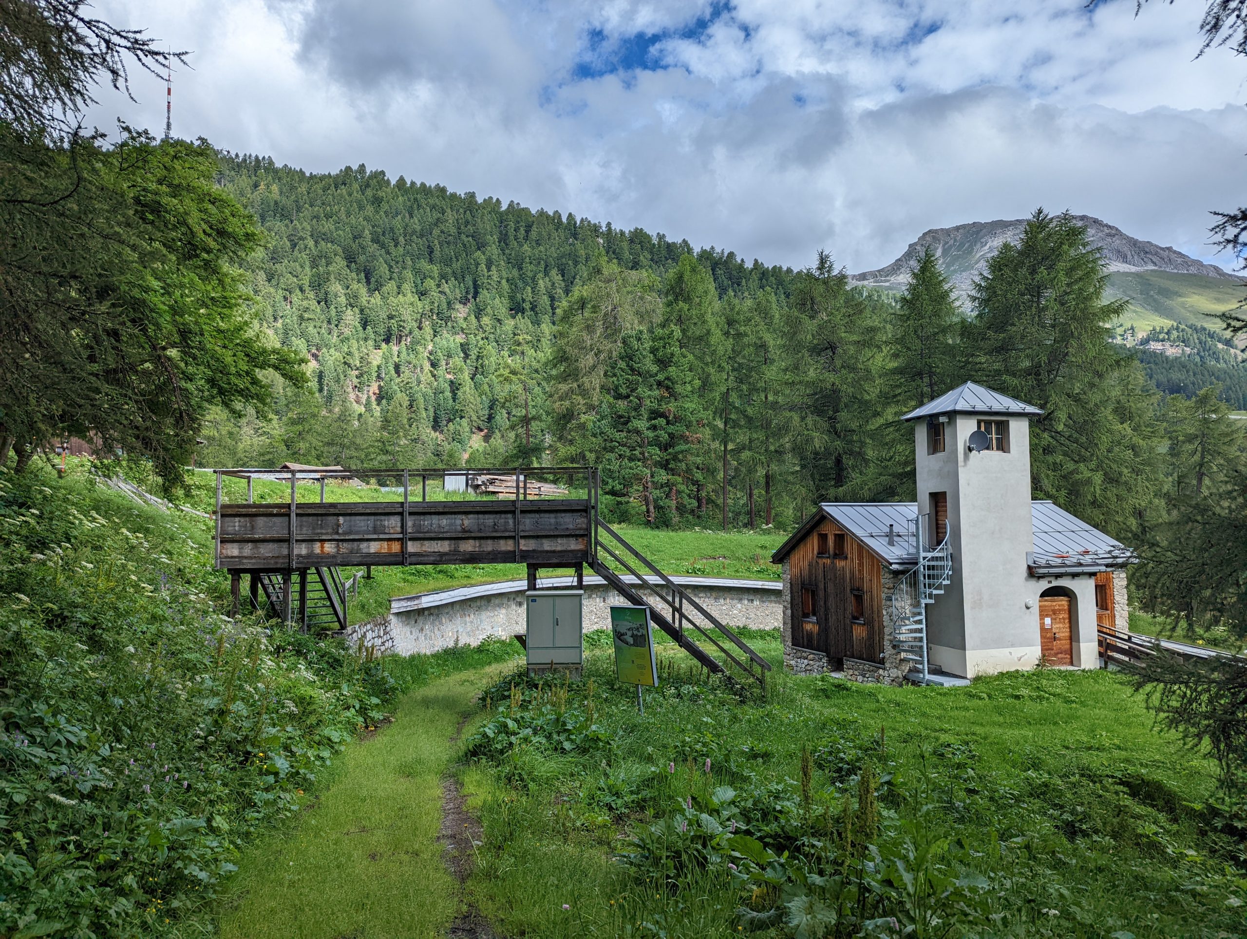
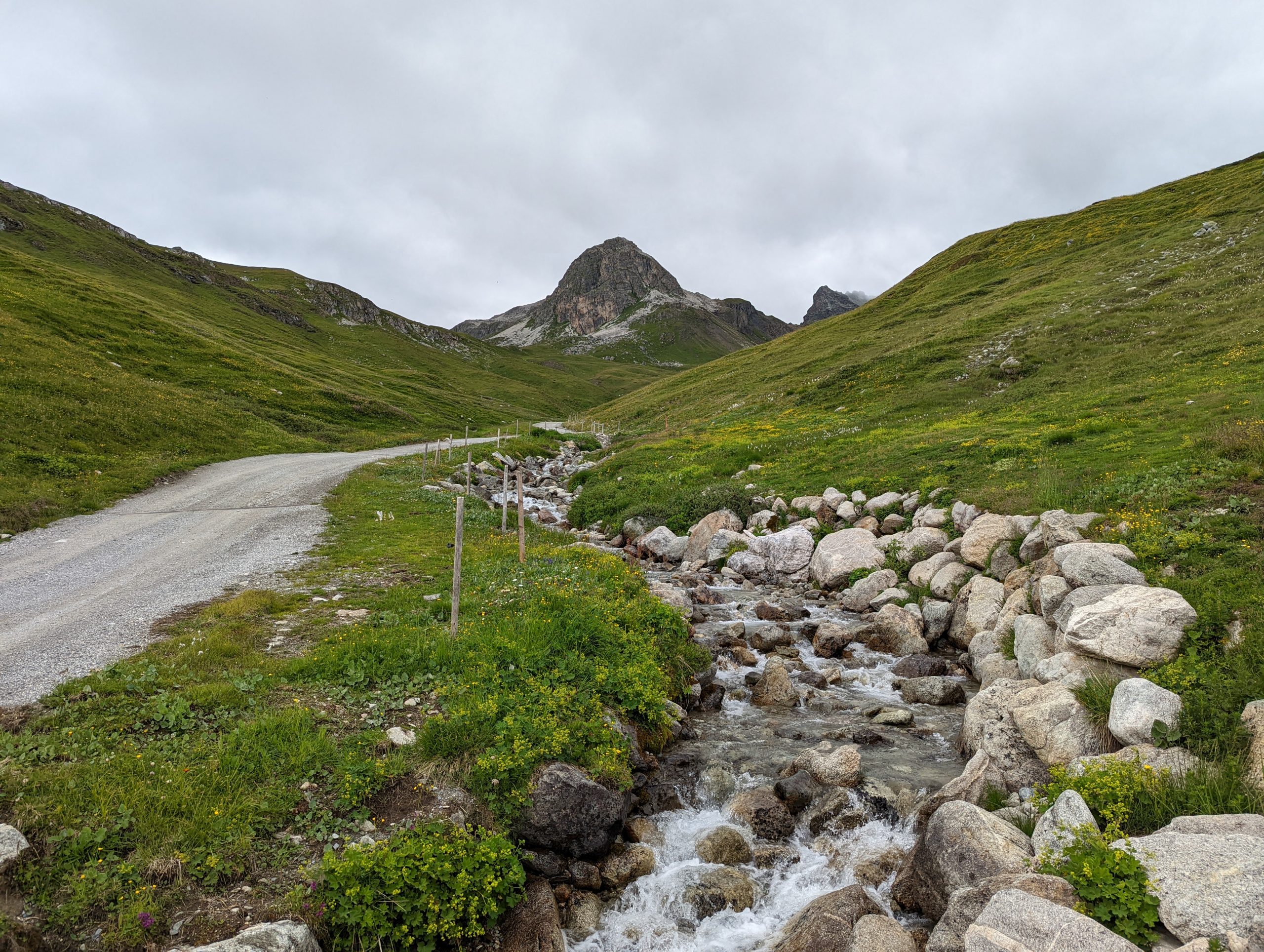
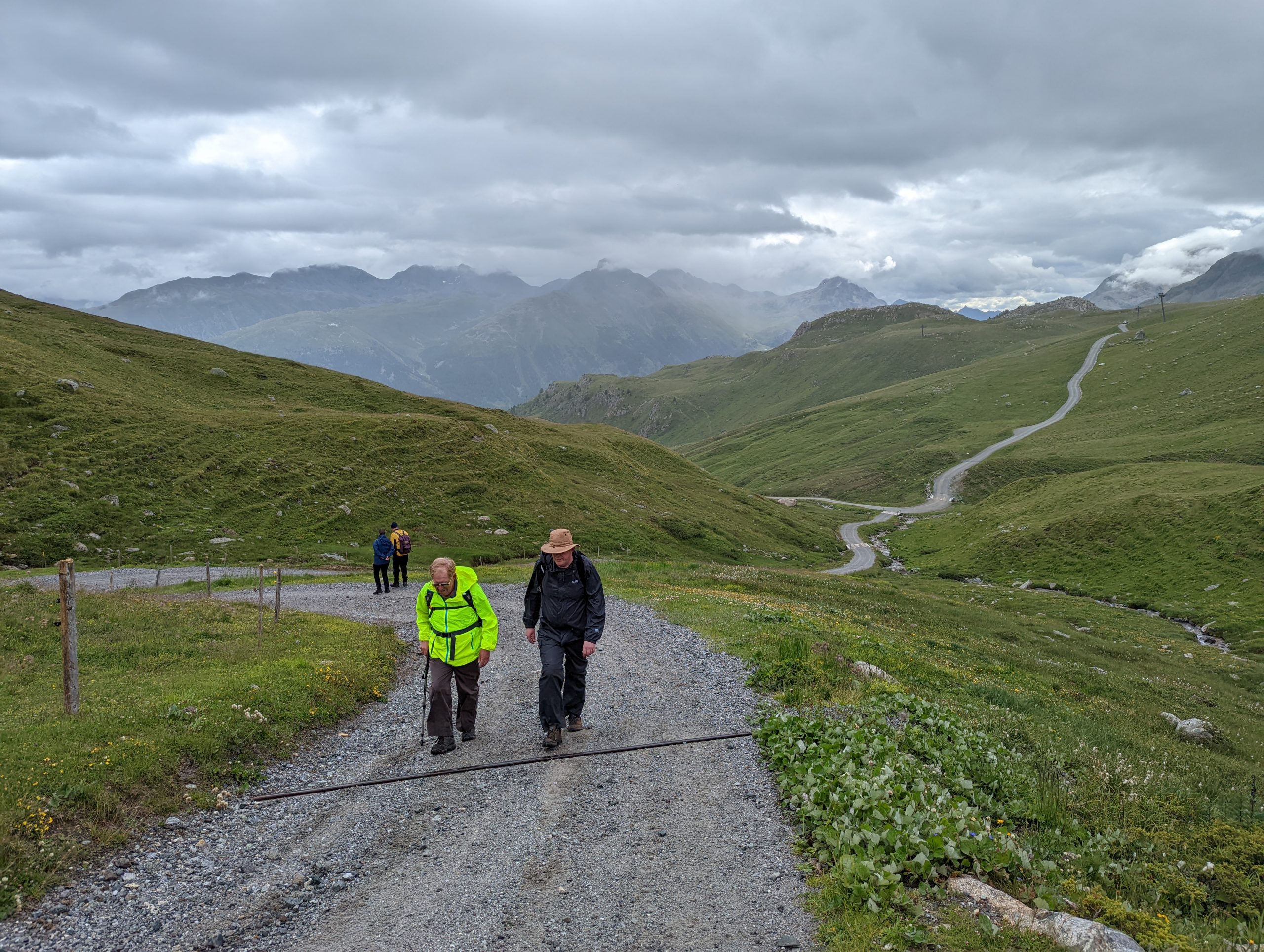
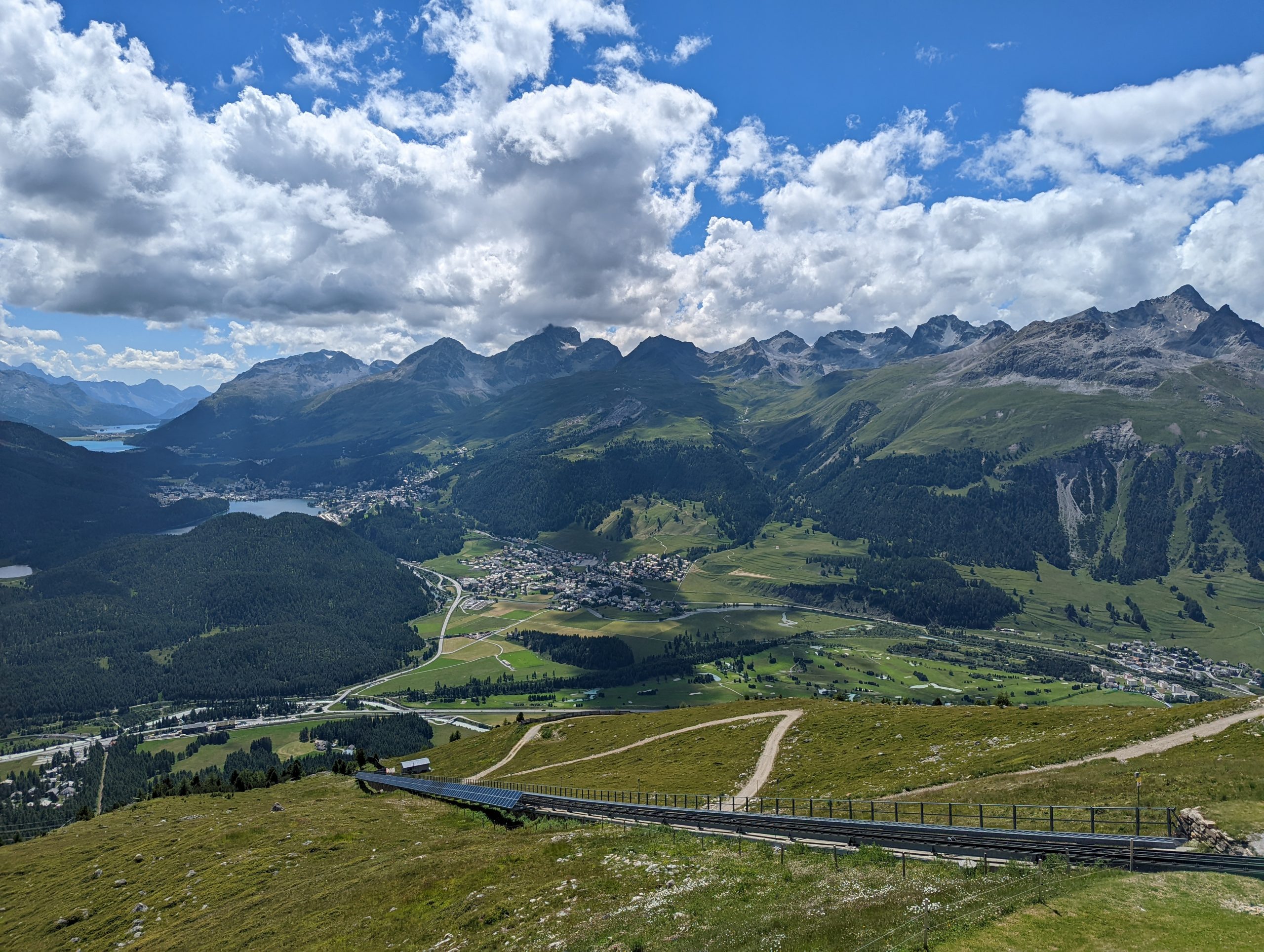
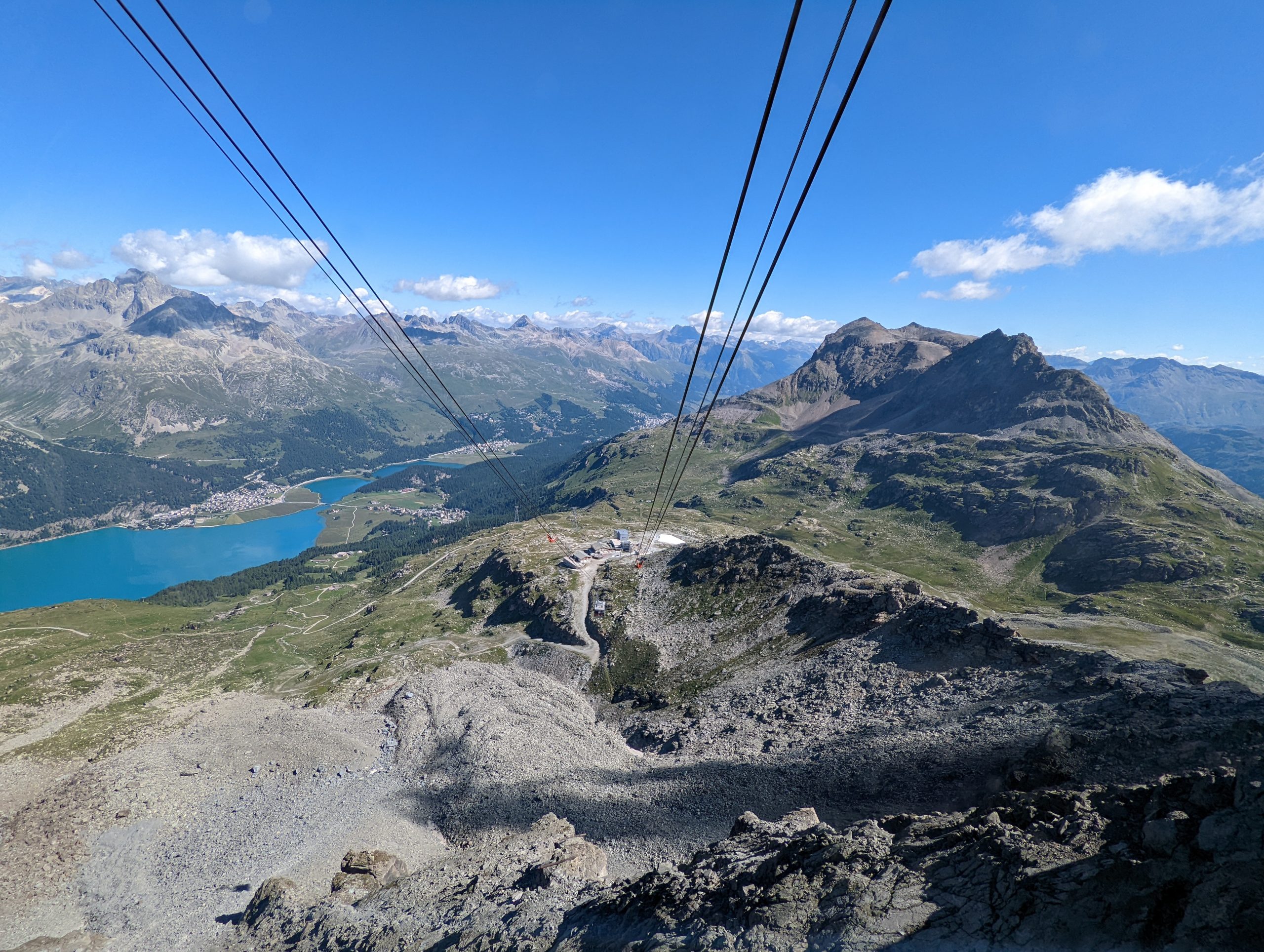
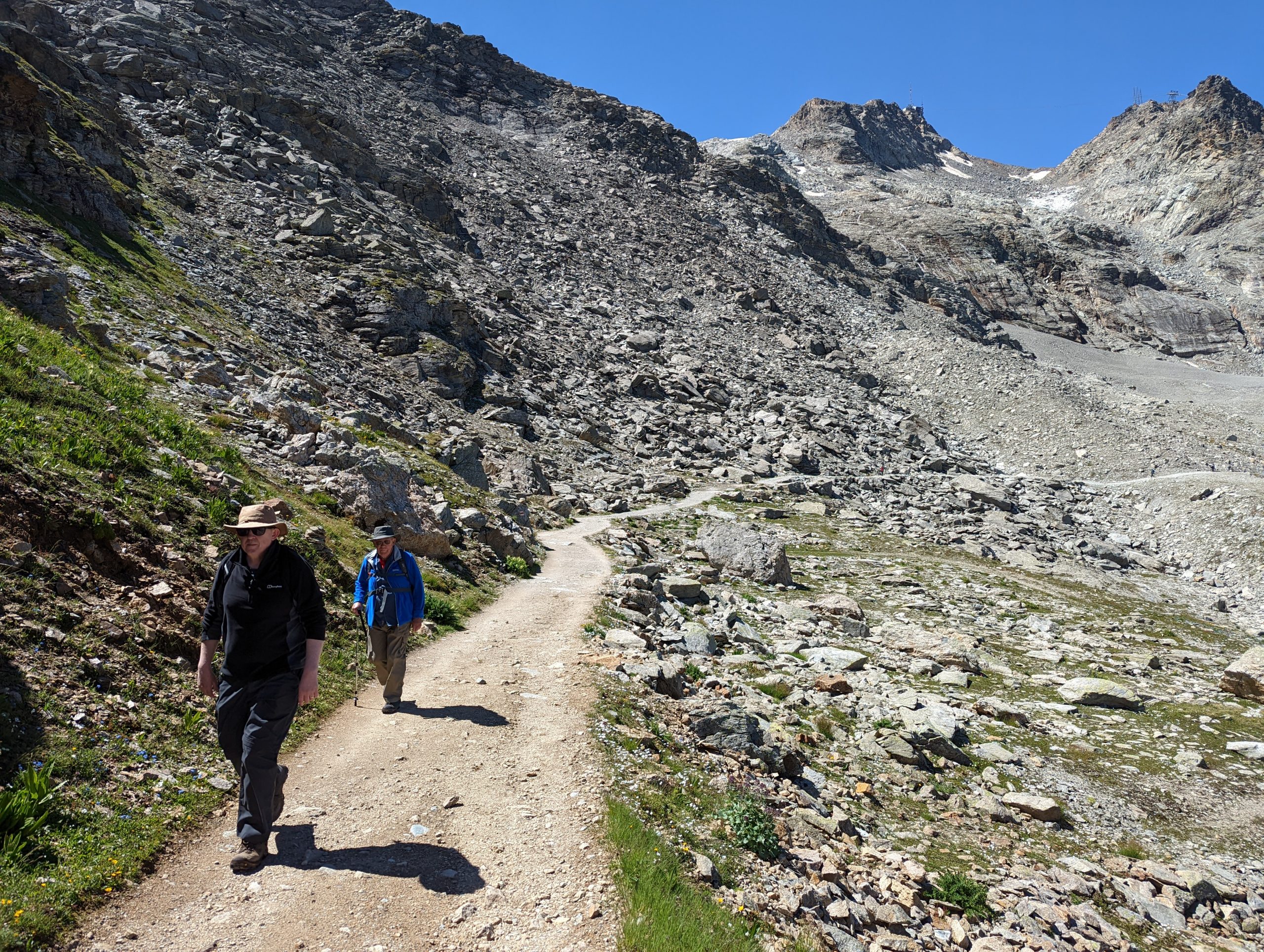
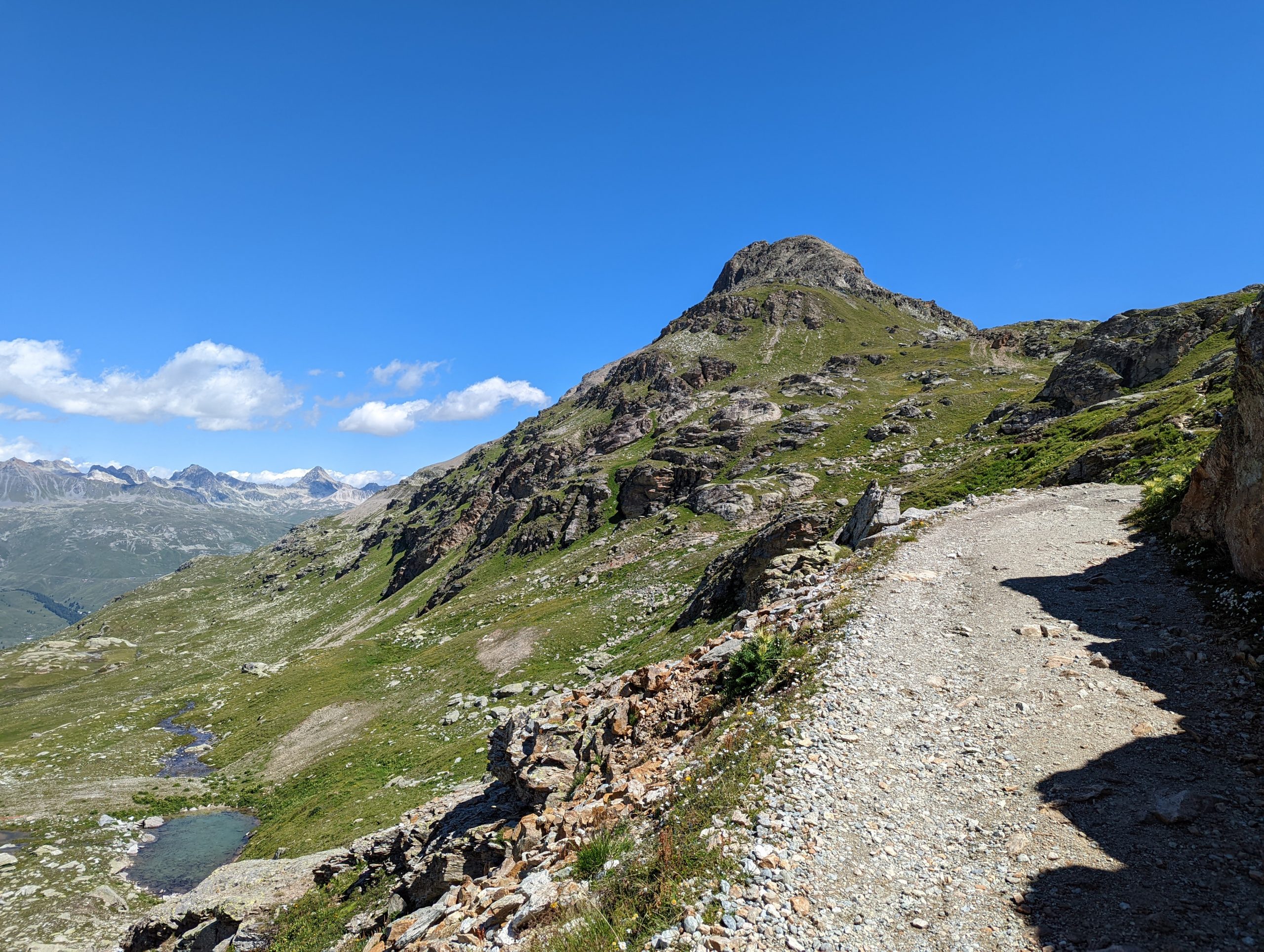
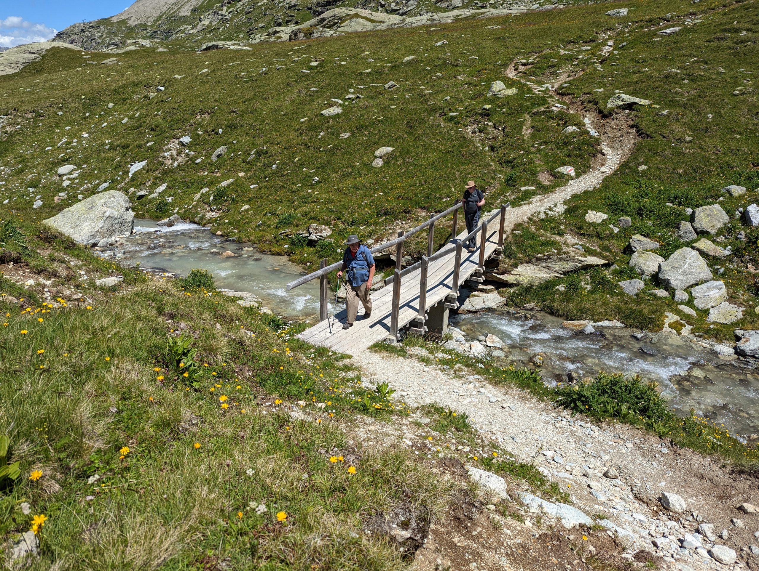
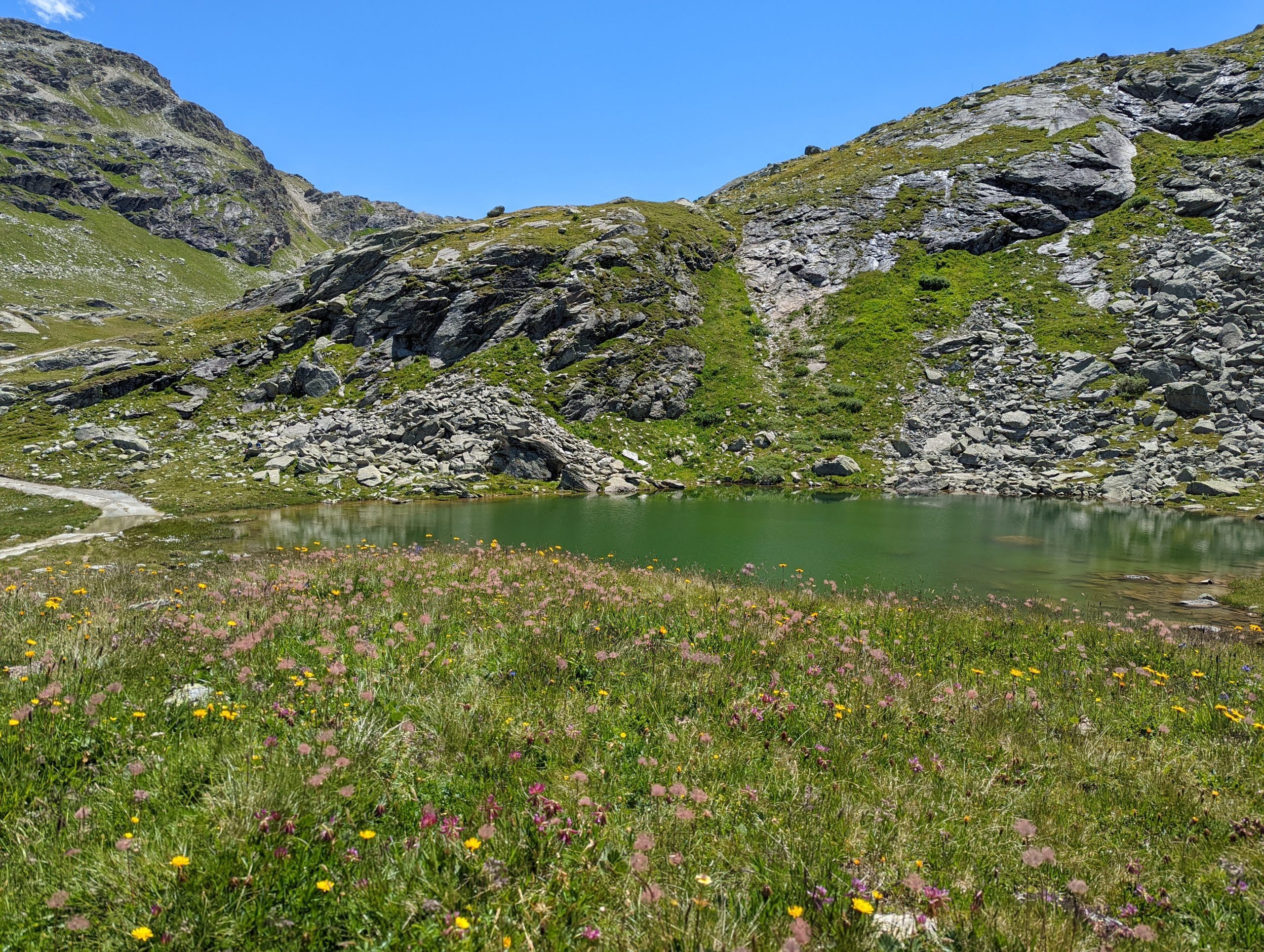
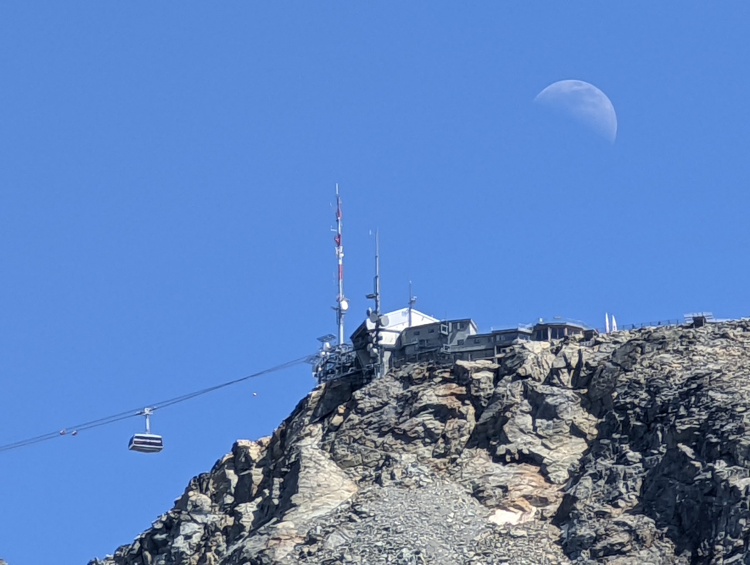
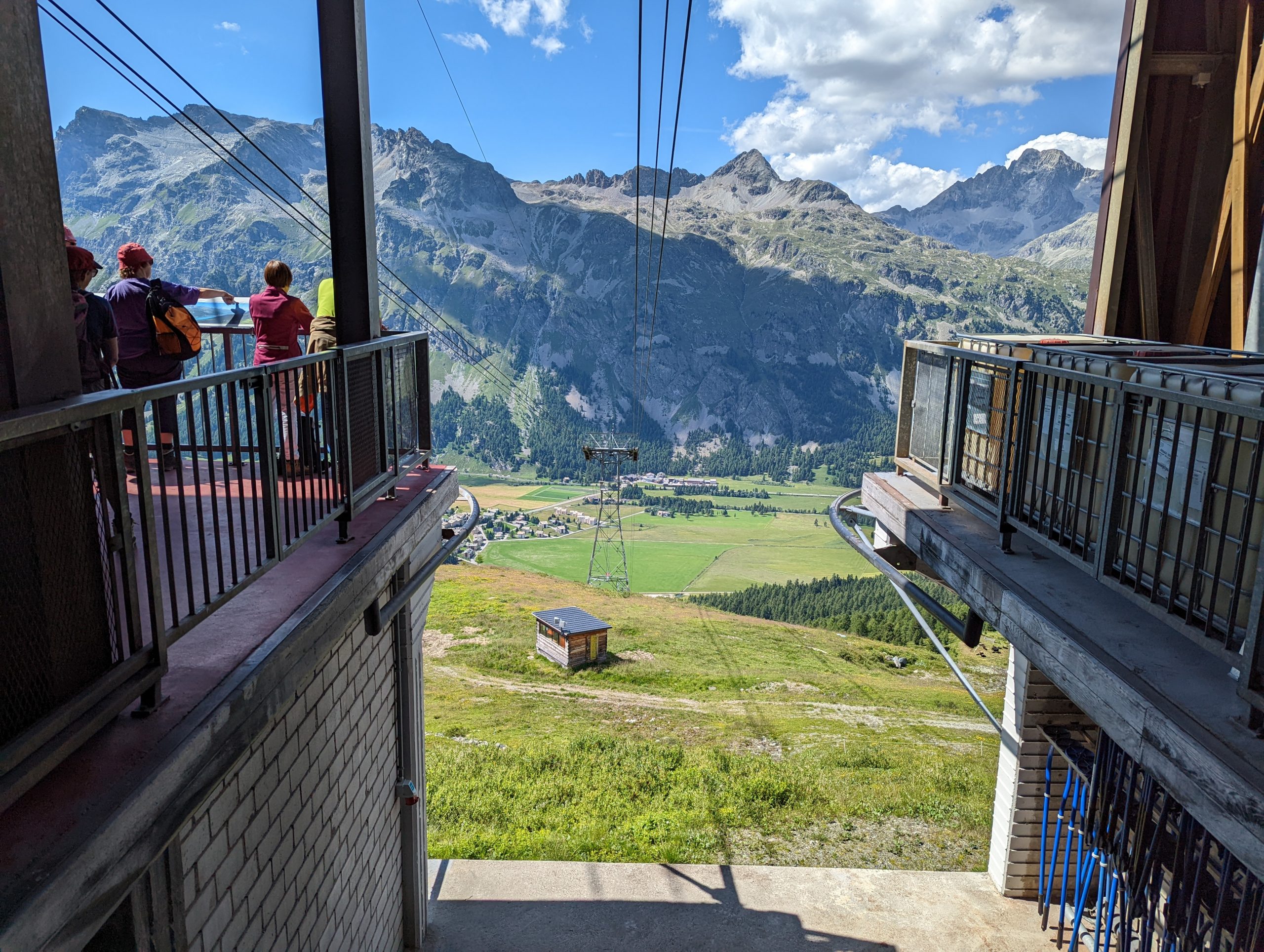
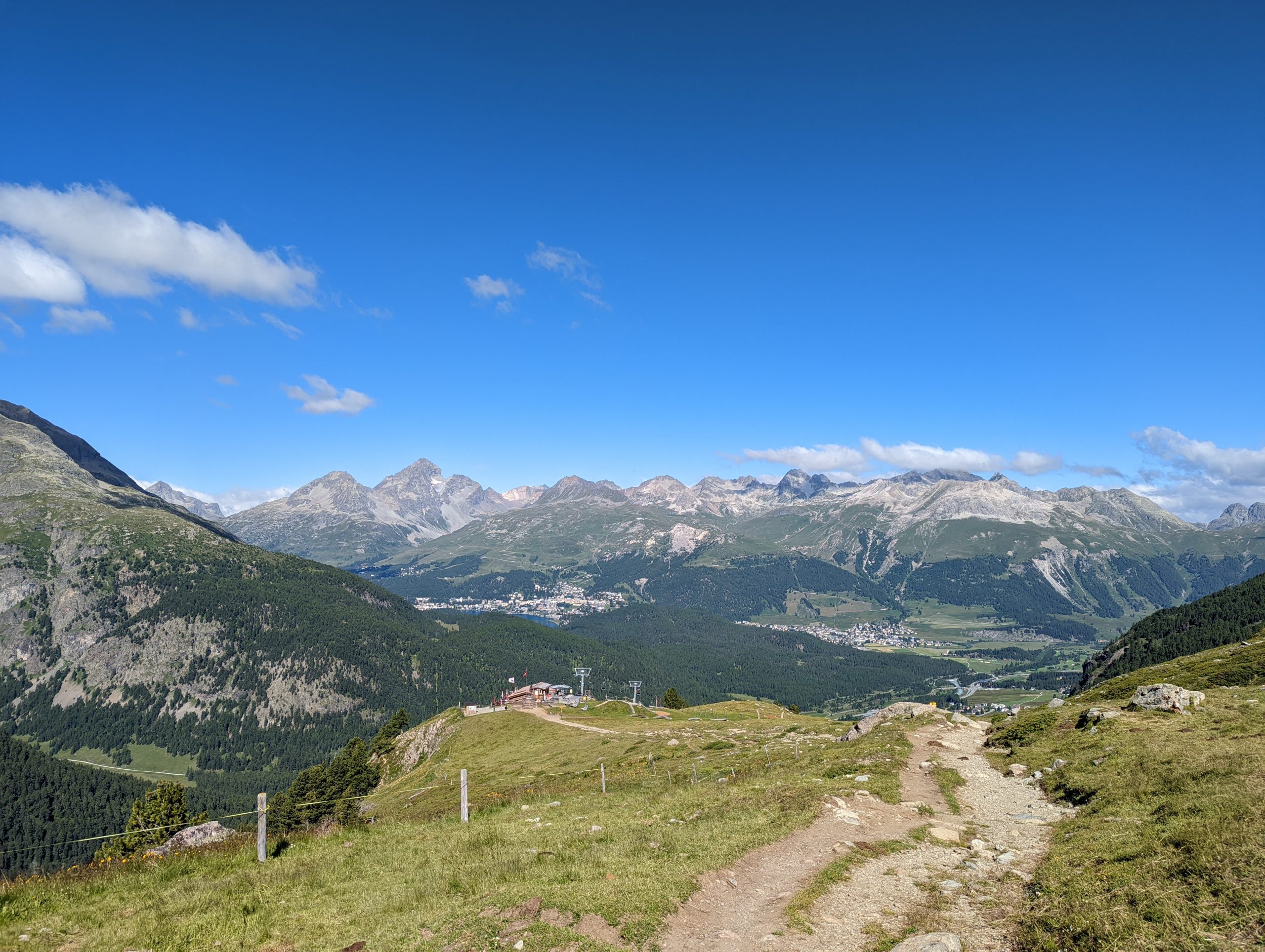
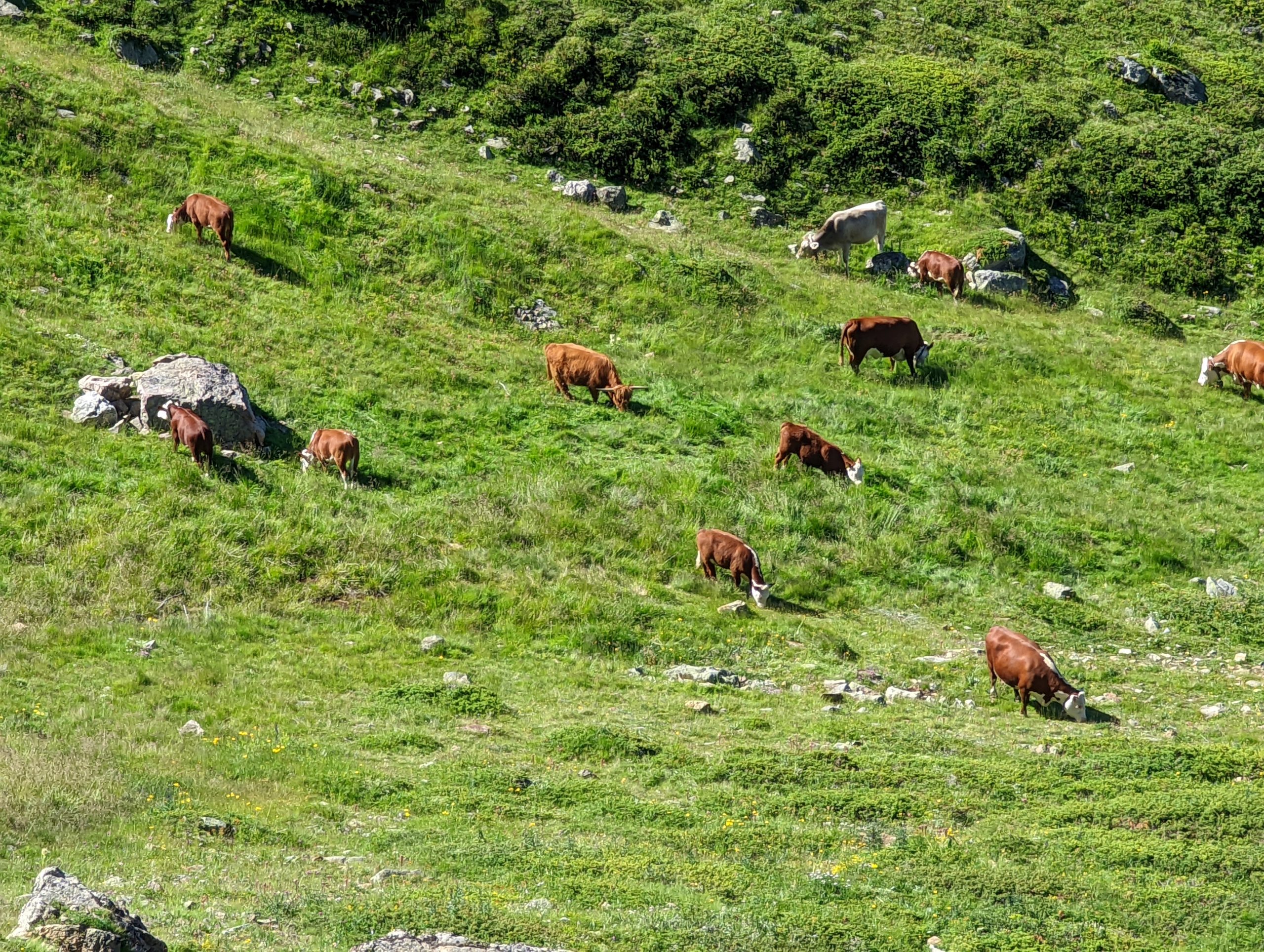
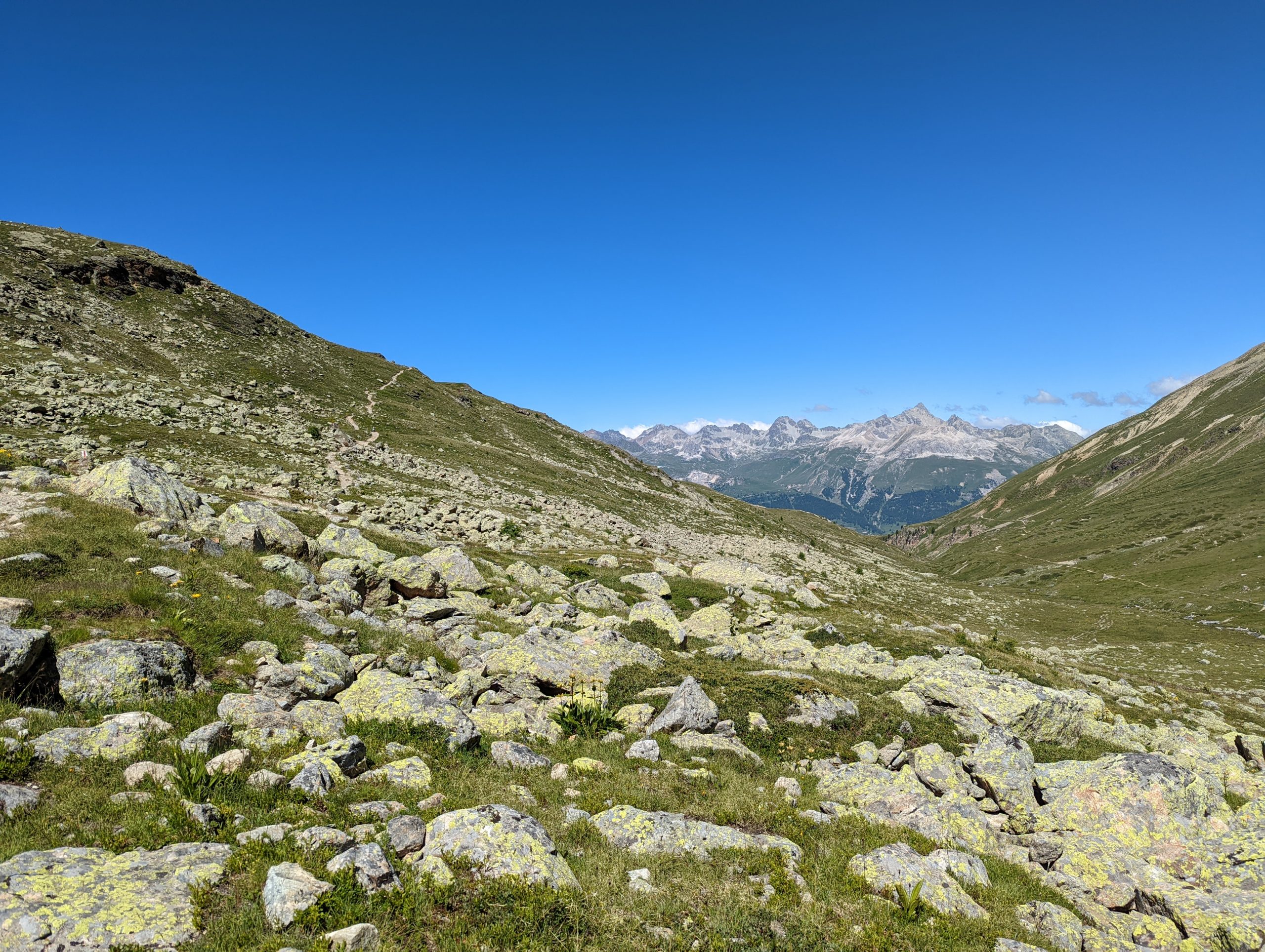
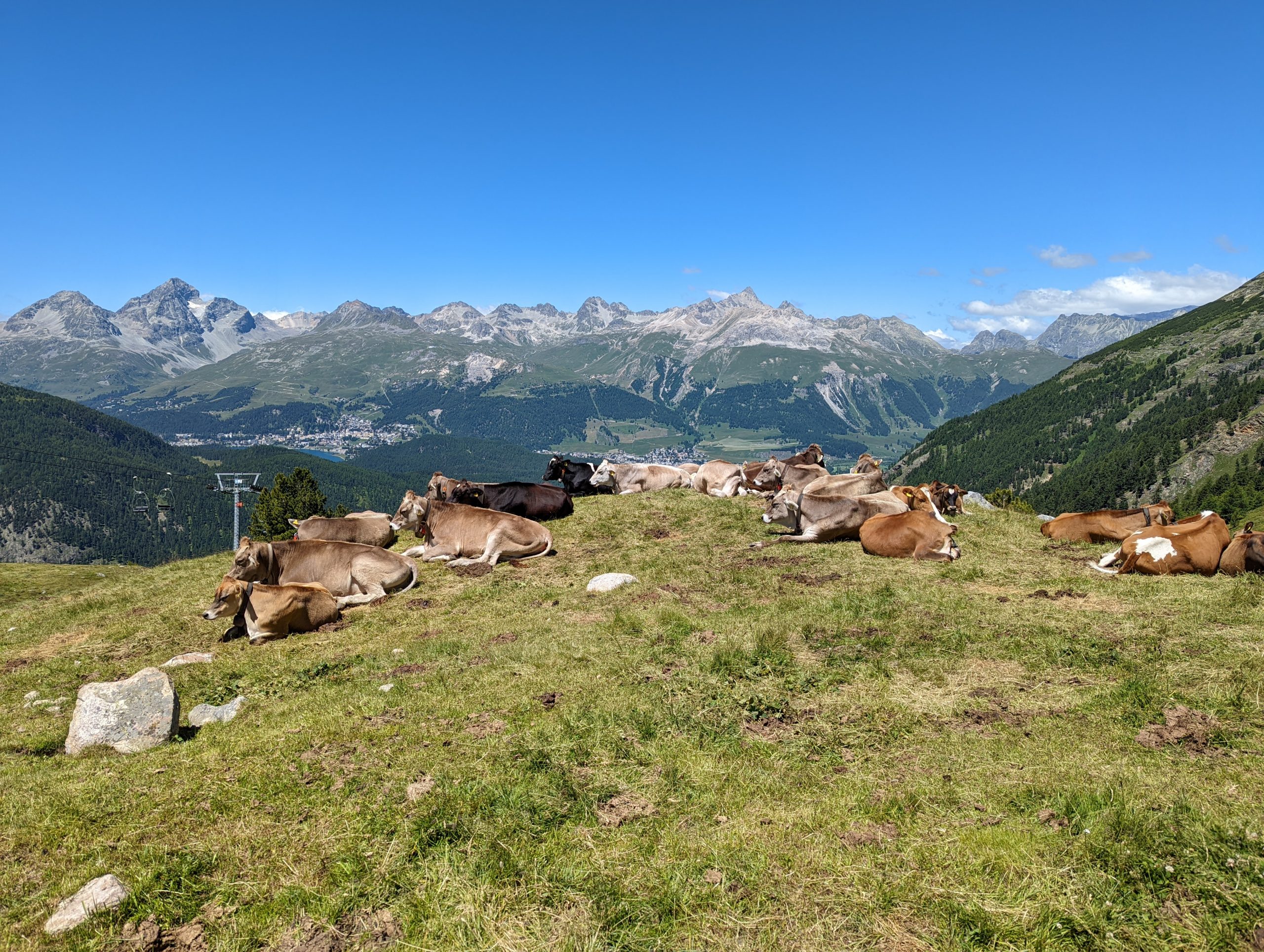
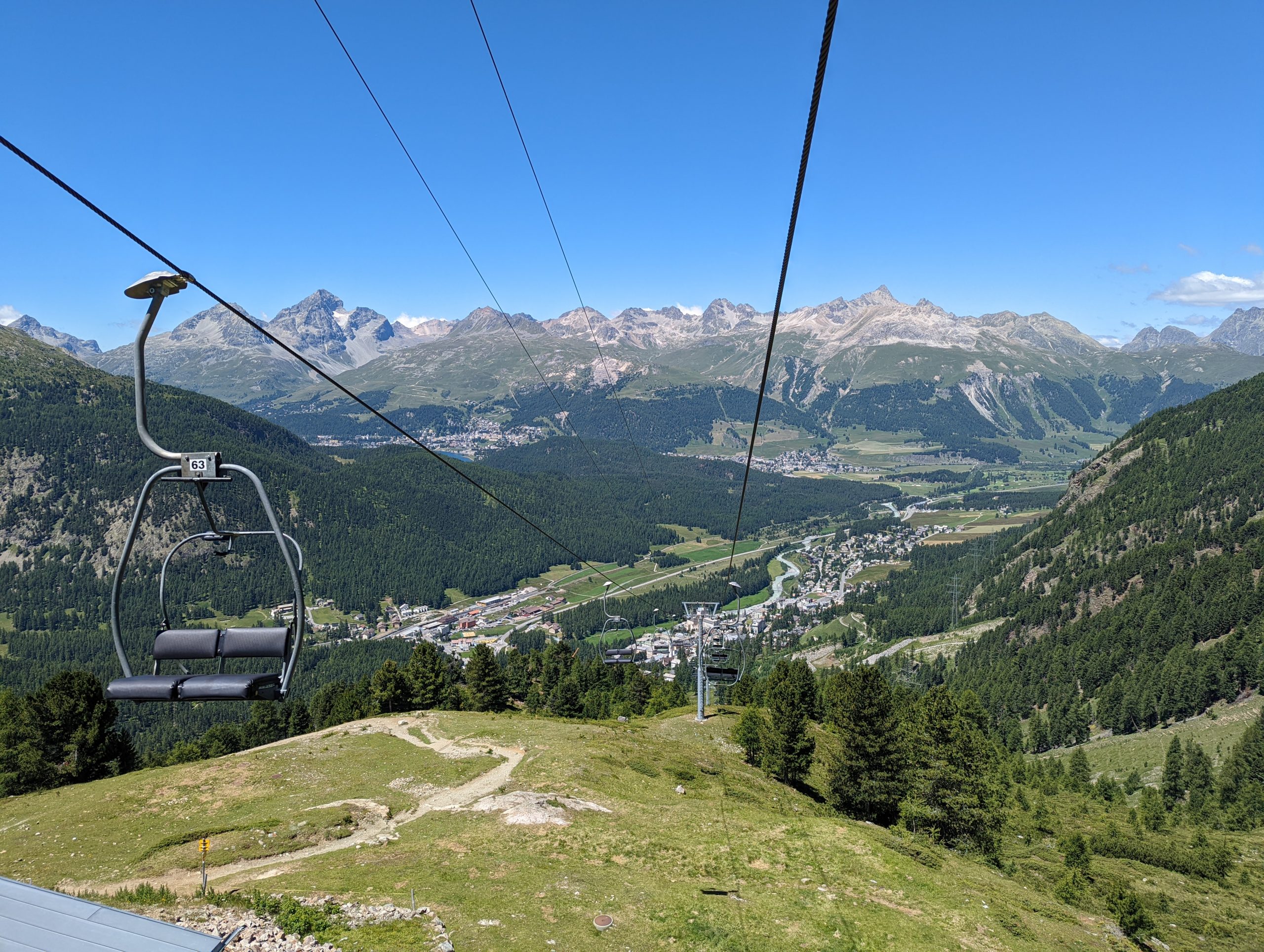
On Sunday morning we took the short walk through the town to the base of the funicular station, and took the two stages up to Chantarella at 2008m and then Corviglia at 2488m.Through the tunnel at the bottom of the funicularFrom there it was the cable car to Piz Nair station at 3022m.The view from the summit station at Piz Nair, looking SE into the Engadin valley and across to the high peaks including Piz Bernina and the Italian border.We walked to the summit of Piz Nair at 3055m before beginning our descending route.Heading broadly west across initially a very stark landscape towards Pass Suvretta, with Piz Suvretta beyond.A bit of colour starts to return to the landscape: looking ahead to Lej SuvrettaWe turn left before reaching the lake near the pass, and contour around the southern side of Piz Nair, with glorious views aheadWe gradually turn slightly a bit more northwards as we round the side of the mountain, and head towards Corviglia.Approaching Corviglia, with the town of Pontresina in the valley. Later in the week we’ll visit there, head up the funicular to Muottas Muragl near the left of picture, and walk to Lej Landguard near the right-most col of the middle distance.Ice cream and drinks at Corviglia. This was to be the end of today’s walk, with caution being exercised as I recovered from a week in bed with Covid, but though I had less energy than normal for rapid walking on the level and uphill, then downhill was no trouble at all, and we decided to go a bit further after refreshing ourselves.St Moritz and its lakeZooming in (I’m impressed by the zoom on my new phone), the red-ish building centre-left is our apartment building – you can also see the constructions works in front of it. The railway station looks close on this long zoom, but it is a fair little walk, and almost a hundred metres lower than the apartment.Looking to the right, up the Engadin valley, the trio of lakes of Lej da Champfer, Lej Suot, and Lej da Silvaplauna – we will walk along the last later in the week.Cowbells – presumably mundane for the Swiss, but rather more unusual for we visitors.We walked down to the top station of the Signalbahn cable car, which took us down into the valley, from where a walk took us back into St Moritz past a useful supermarket.
Monday – Alp Grüm, the Leaning Tower, and the lakes of Upper Engadin
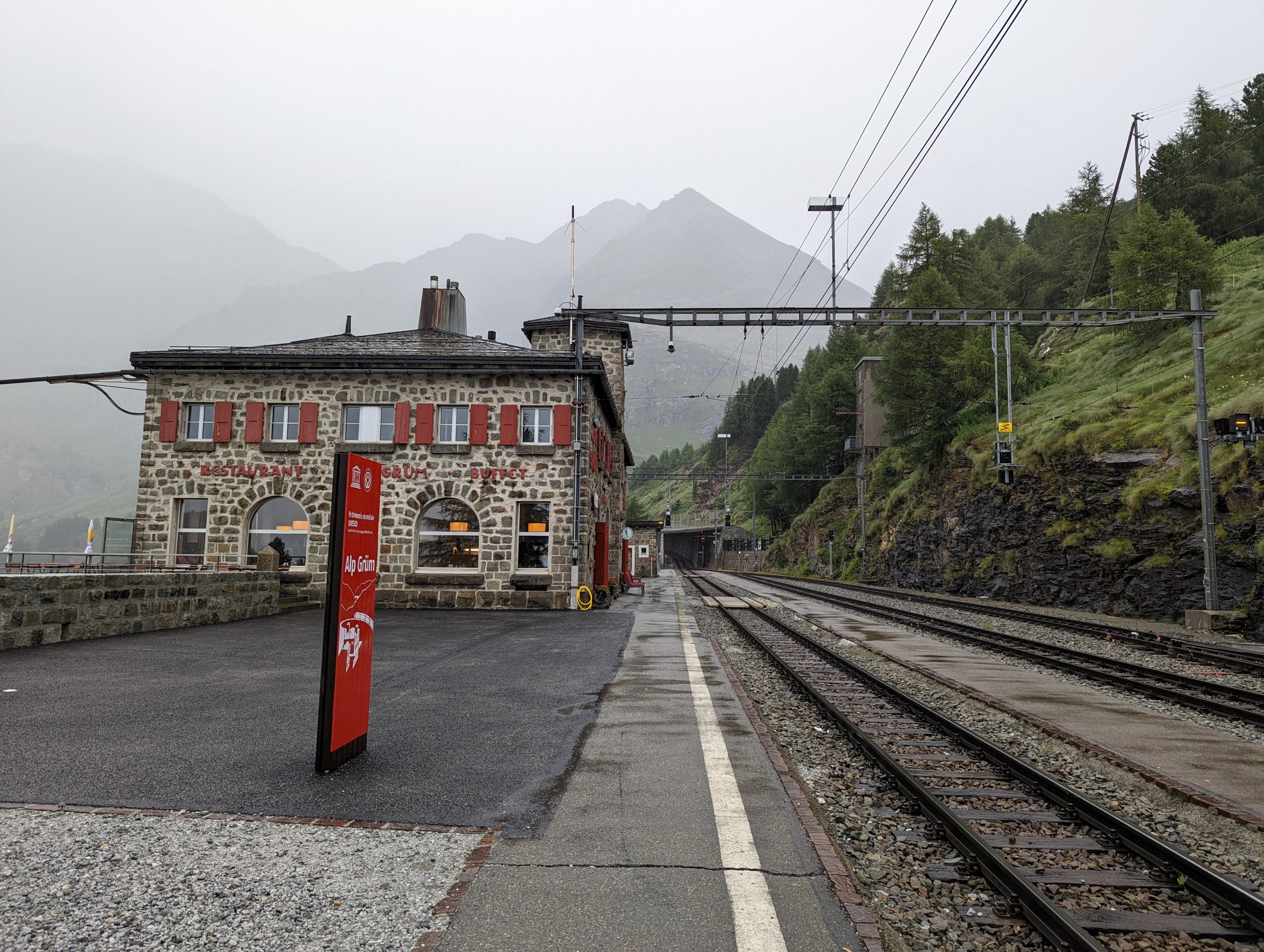
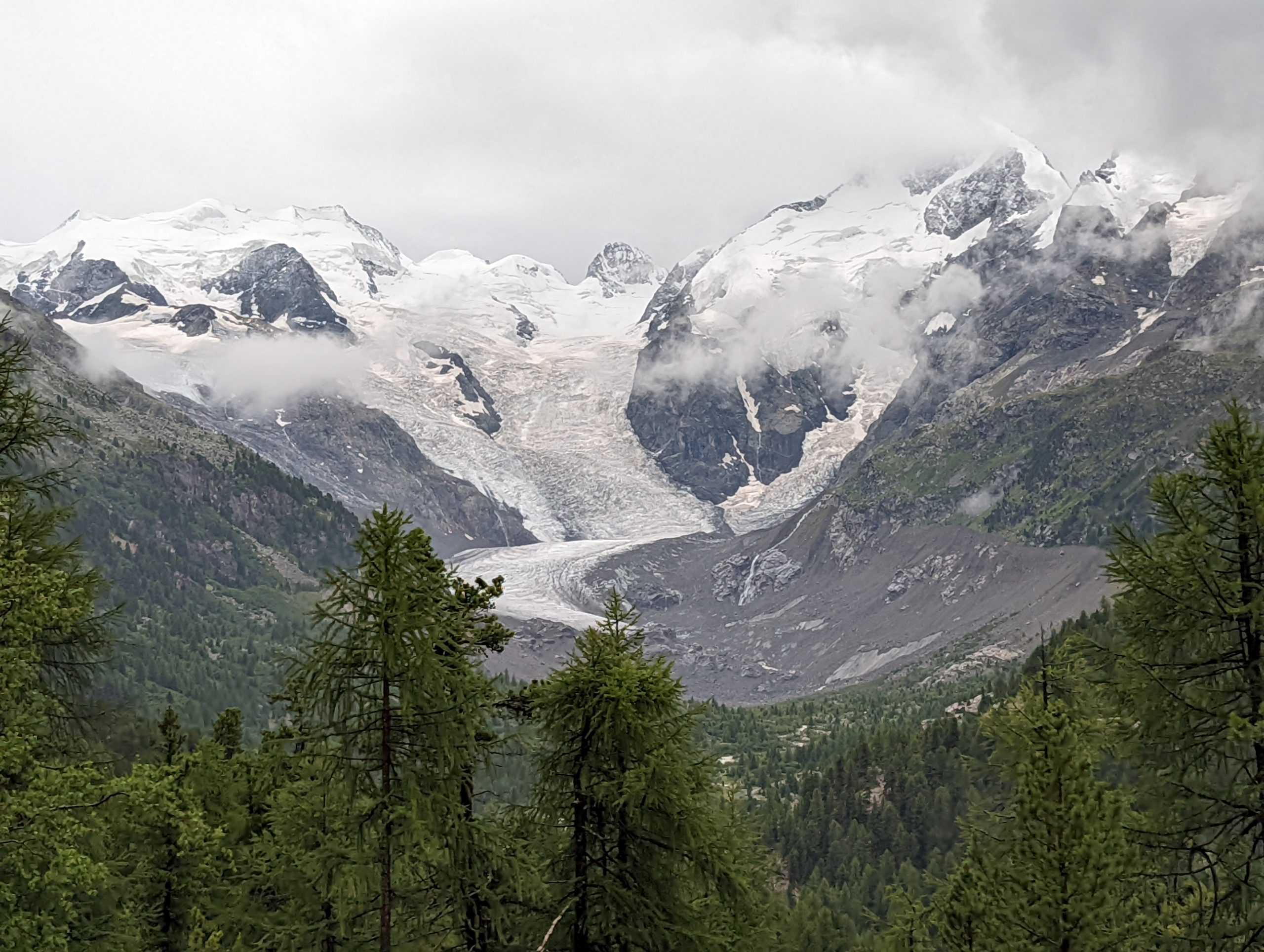
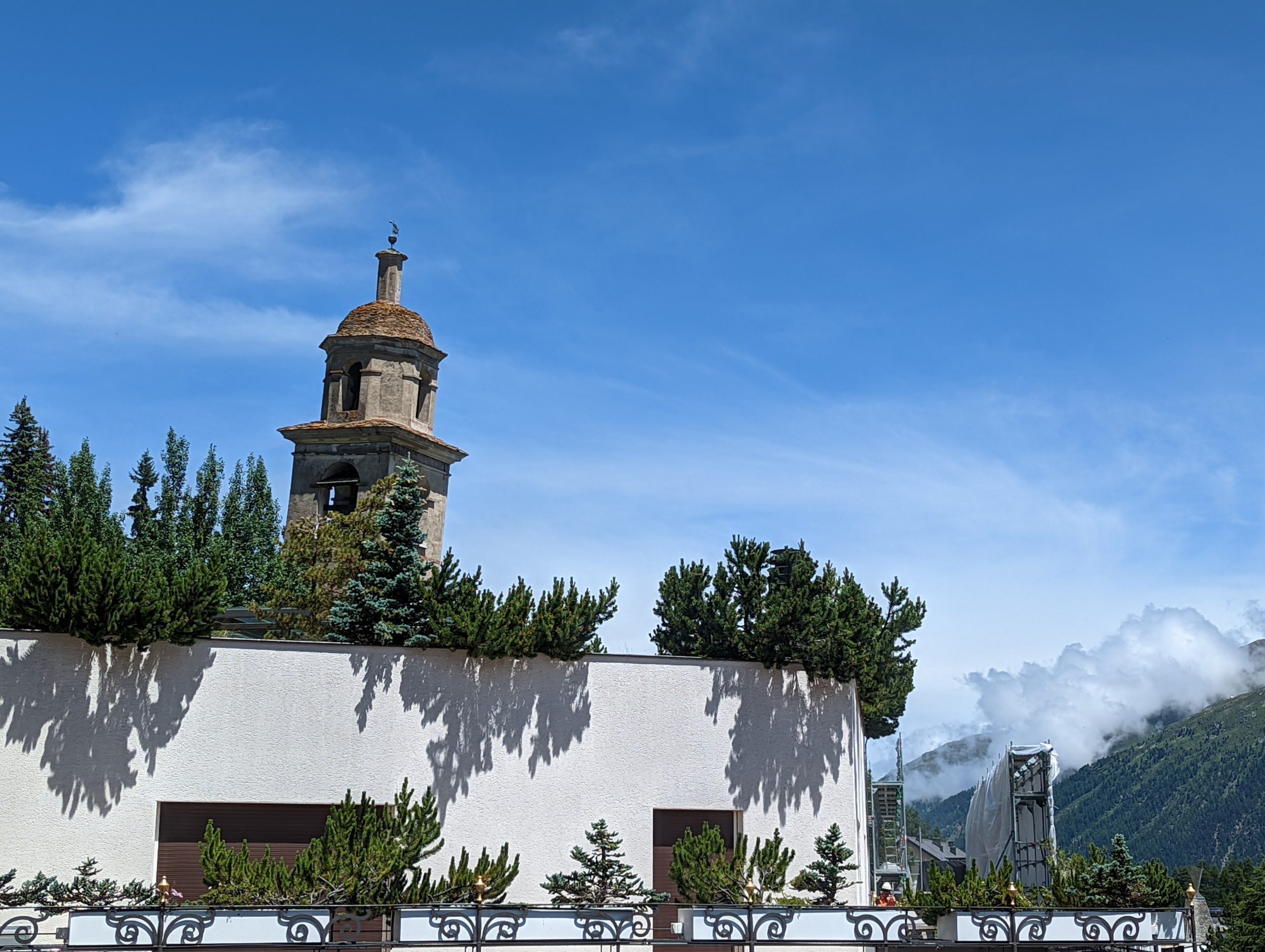
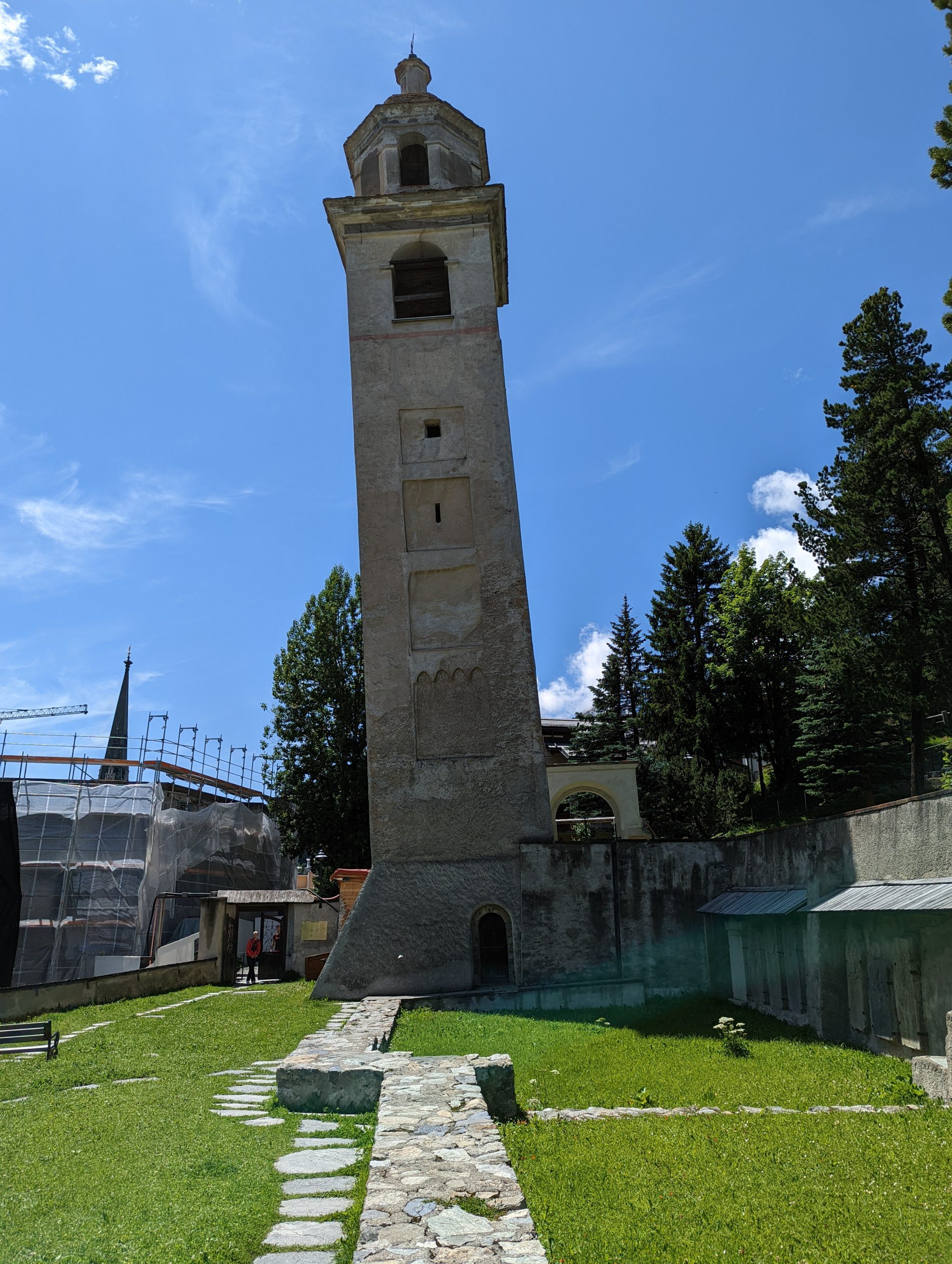
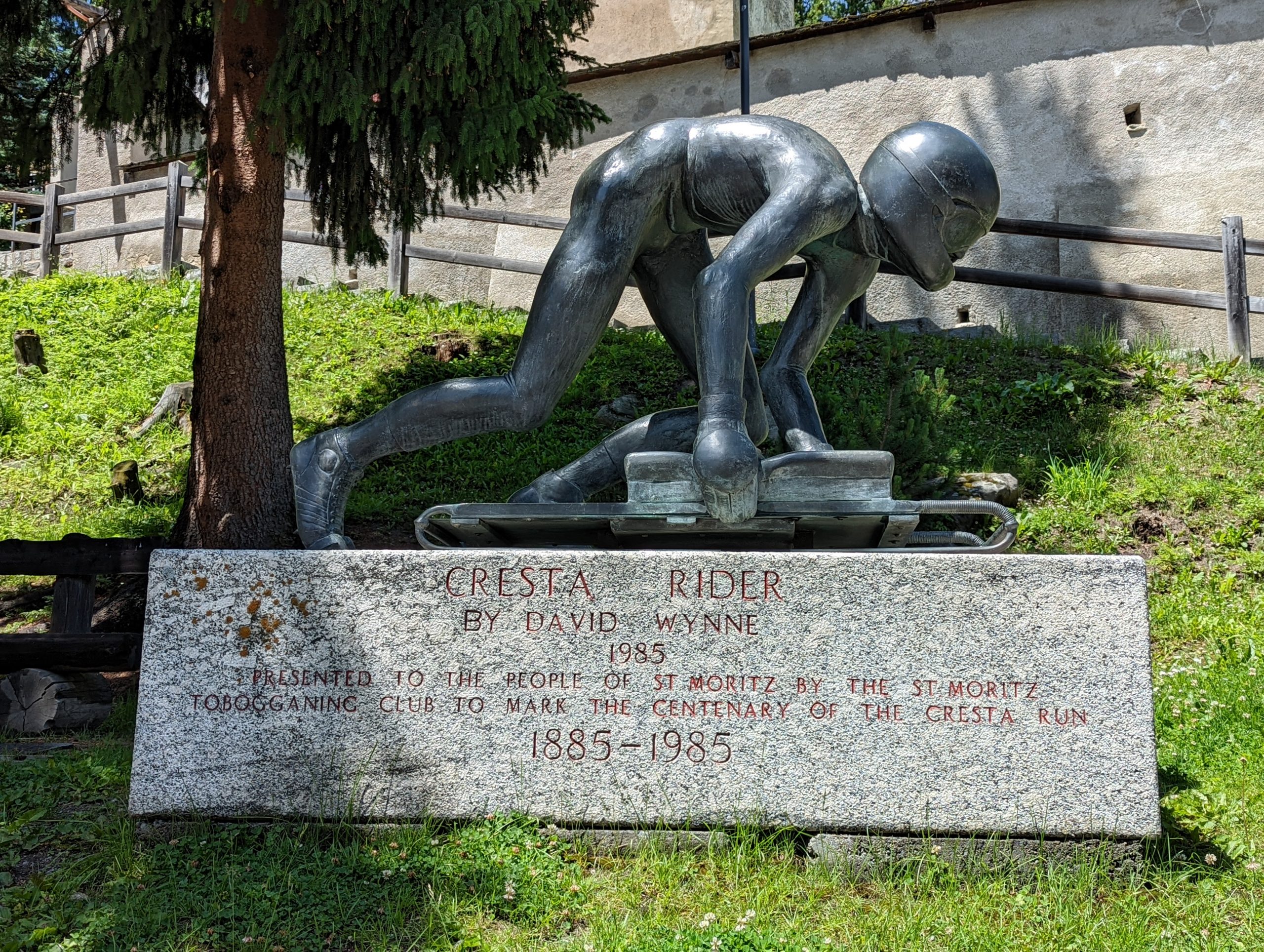
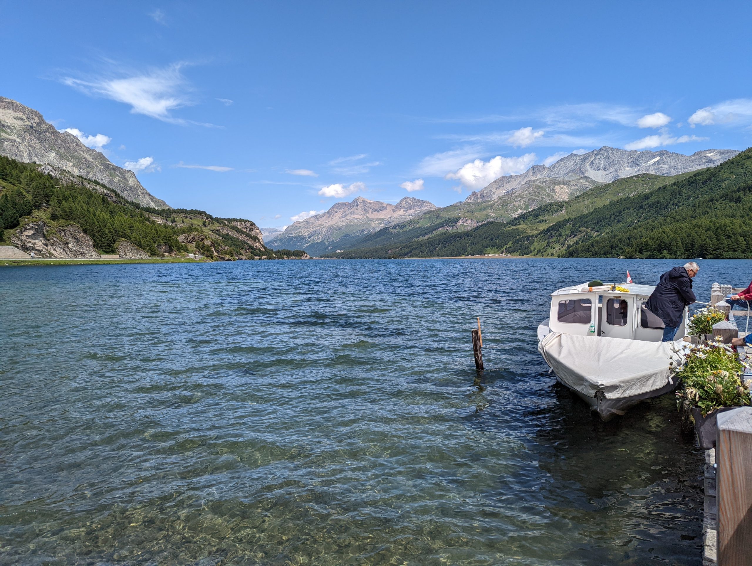
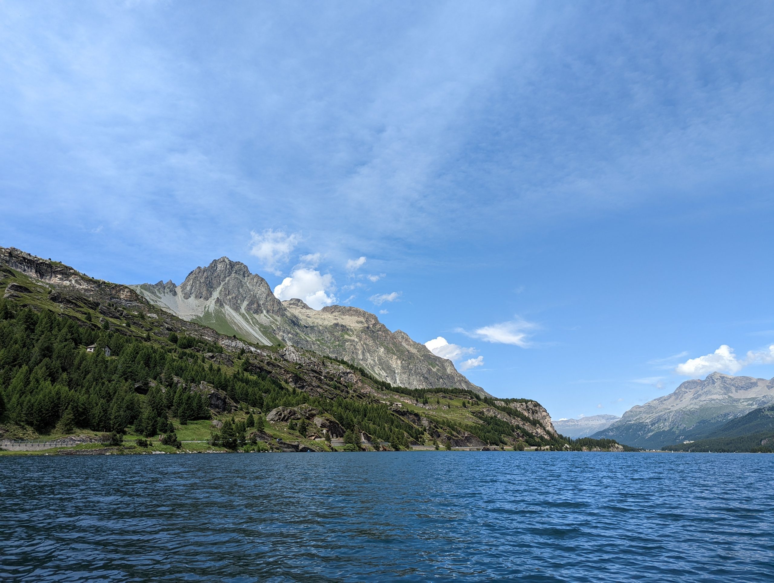
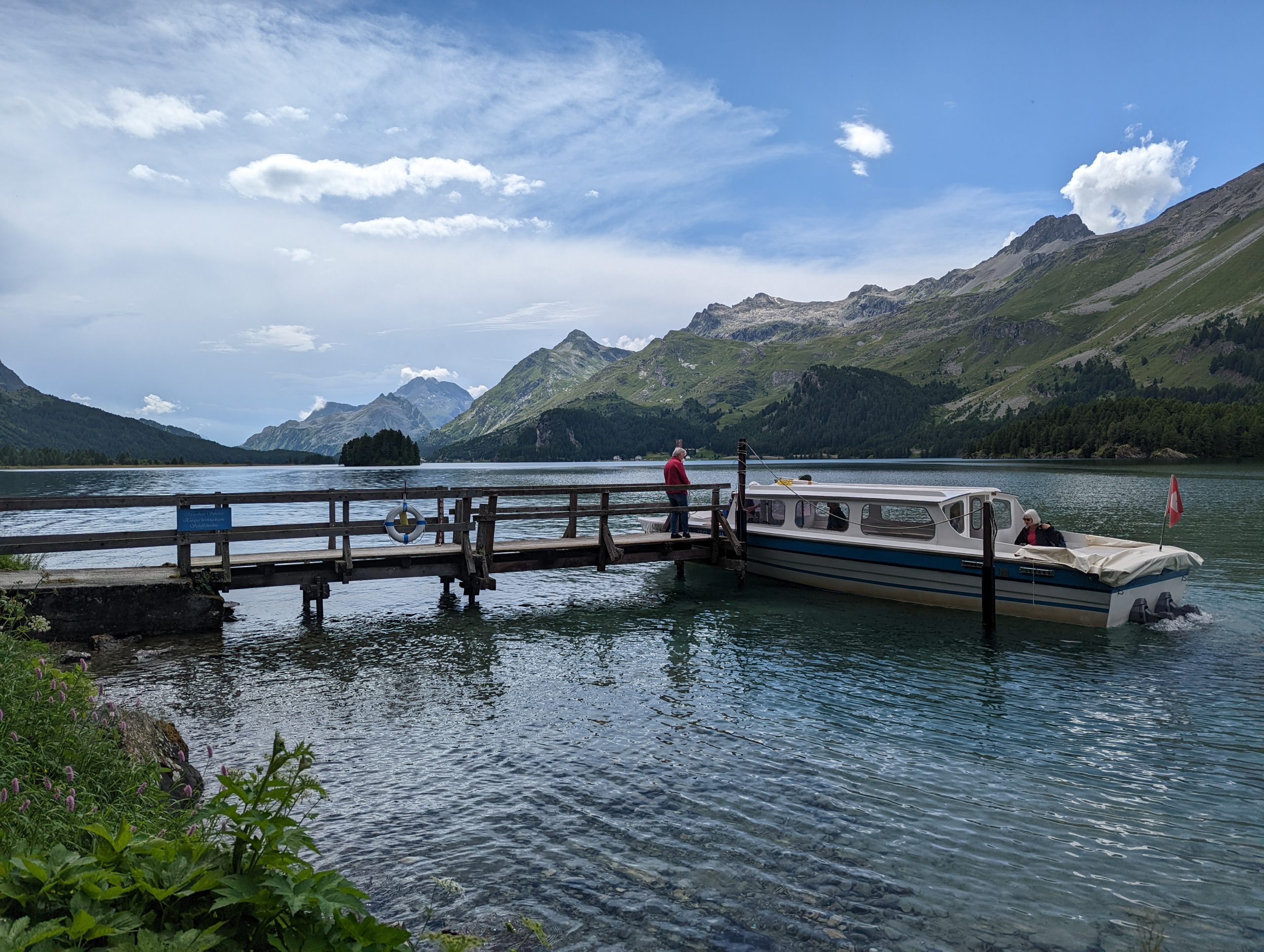
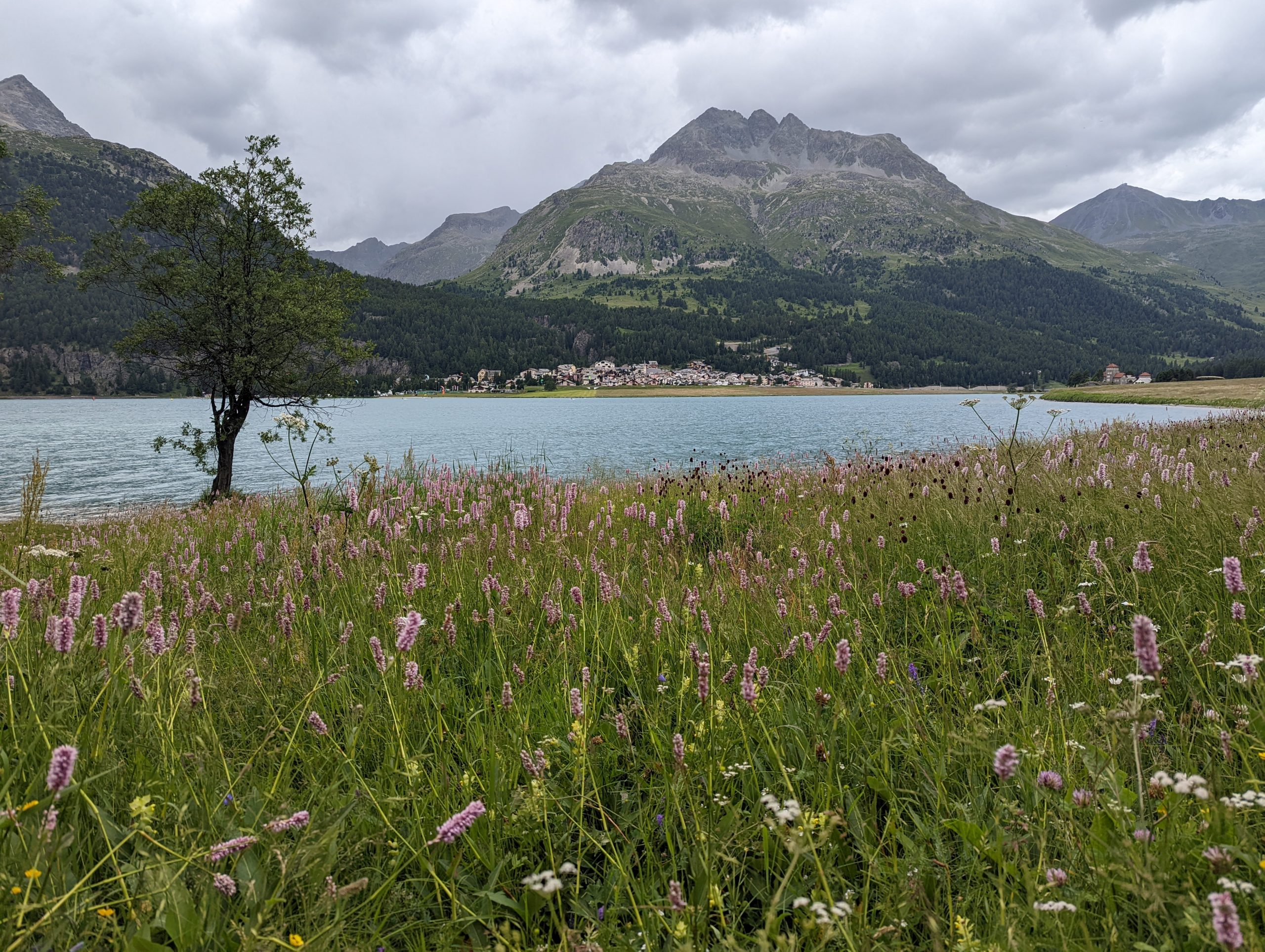
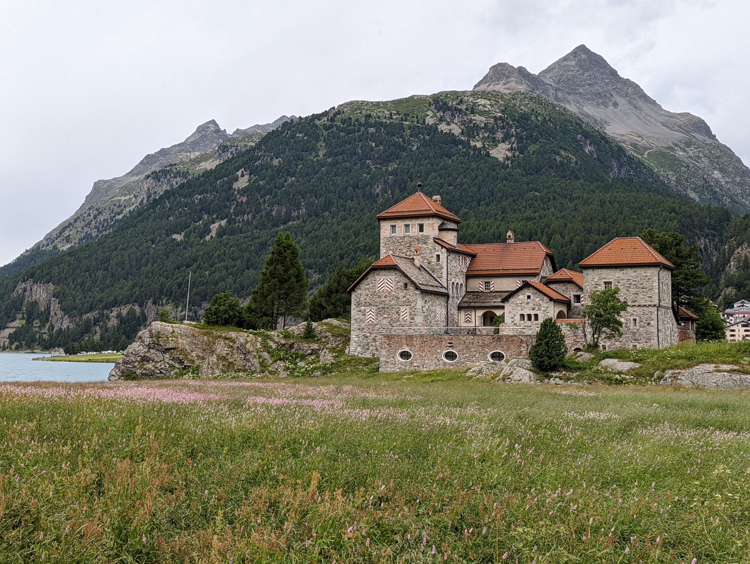
Monday morning’s forecast predicted the only poor weather of our stay – and such proved to be the case. There was some possibility that the rain might skirt around us, and so we set off with the primary intent of just having a trip out by train to the limit of our inclusive week’s ticket at Alp Grüm, but with the faint hope that by us heading south a way, the rain and cloud might clear enough to make a walk around Lago Bianco a pleasant prospect. It didn’t. We reached Alp Grüm in rain, and although there were brief hints of some slight improvement, they didn’t give us confidence to do anything except toy with the over-busy cafe, and then linger in the waiting room for the next northbound train.On the way back, the clouds cleared enough for a reasonable view of the Morteratsch Glacier.After lunch back at the apartment, the weather has improved and so we set out on an afternoon’s exploration, first a short diversion to visit the Leaning Tower of St Moritz. This is the Tower from our apartment.And here it is from the other side. The tower dates from 1570, extended in 1672, and currently leans by about 3.03 metres (compared to a height of 32.75 metres). The leaning was probably begun in 1797 by an earthquake, and considerable efforts have been undertaken on a number of occasions since 1902 to stablise it, with removal of the bells, enlargement of the foundations, anchoring of the tower base, horizontal wells below the foundation, introduction of reinforced steel concrete collars, concrete barettes 10 metres below the foundation, lifting the tower from below with hydraulic jacks, installation of 1264 tonnes of weights on the upper side, further lifting and additional supports on the valley side, and most recently lowering the uphill side to return the tower to its 1983 amount of tilt.The tower is near the start of the Cresta Run.We then caught a bus from St Moritz to Maloja, and walked across meadows to the head of Lej da Segl.The boat which was to be our ferry along the lake was soon with us.Glorious views ahead along Lej da Segl.Enjoying the ride on the highest scheduled boat service in Europe, at 1797 metres above sea level.After the boat had made a couple of intermediate stops, we got off at the Segl Maria jettyWe walk northeast away from Lej da SeglWalking through Muot MariasWe walked past the base station of the Furtschellasbahn cable car, which we would be visiting later in the week, eventually arriving at Lej da SilvaplaunaThe weather turned from blue skies and sunshine, and we had a little rain, but nothing to spoil thingsPassing Crap da Sass, and the rain stops while we wait for the bus back to St Moritz, but it rains heavily during the journey back – very fortunate timing.
Tuesday – Olympia Bob Run, Lej Alv, open train, Muragl
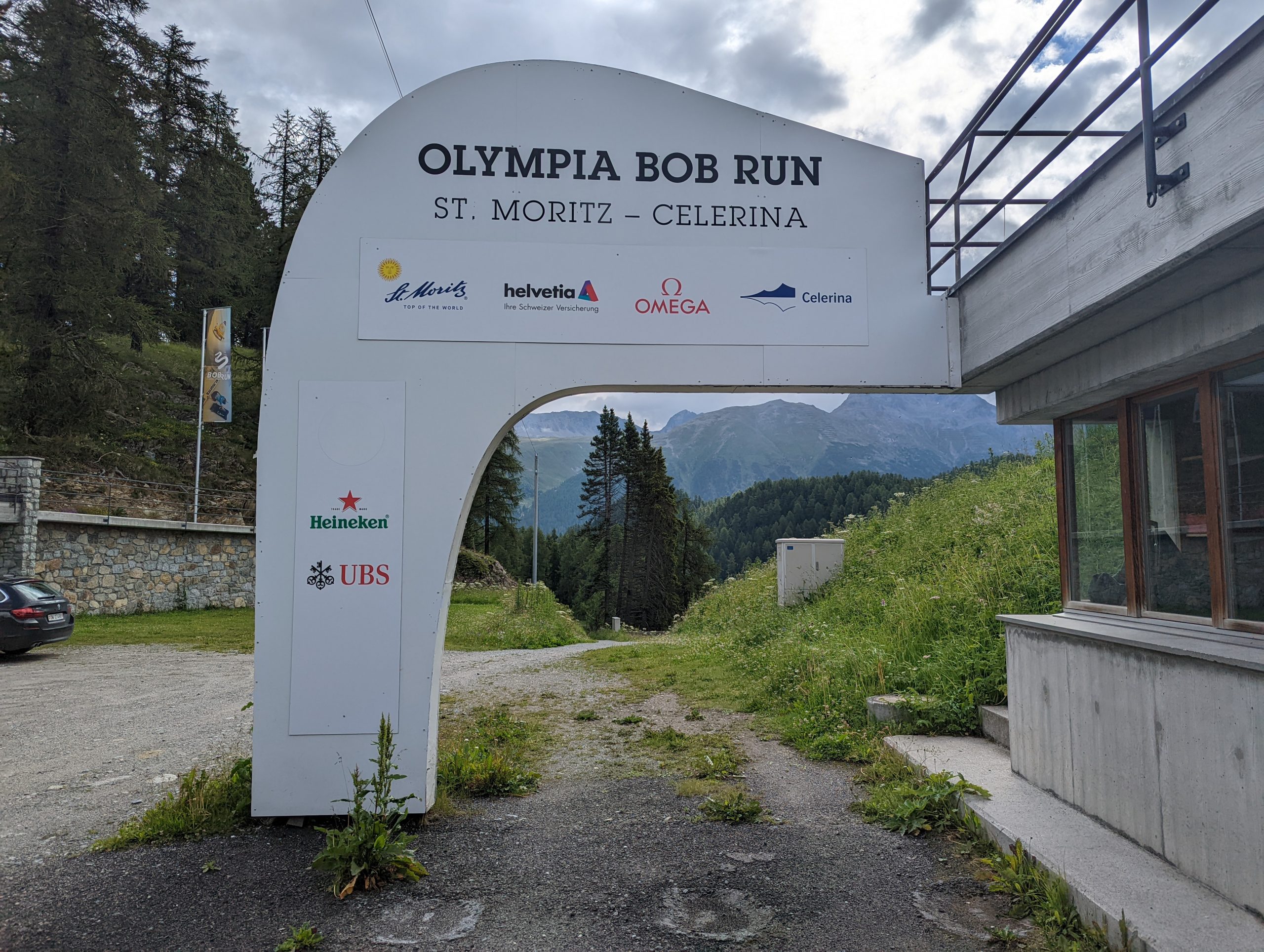
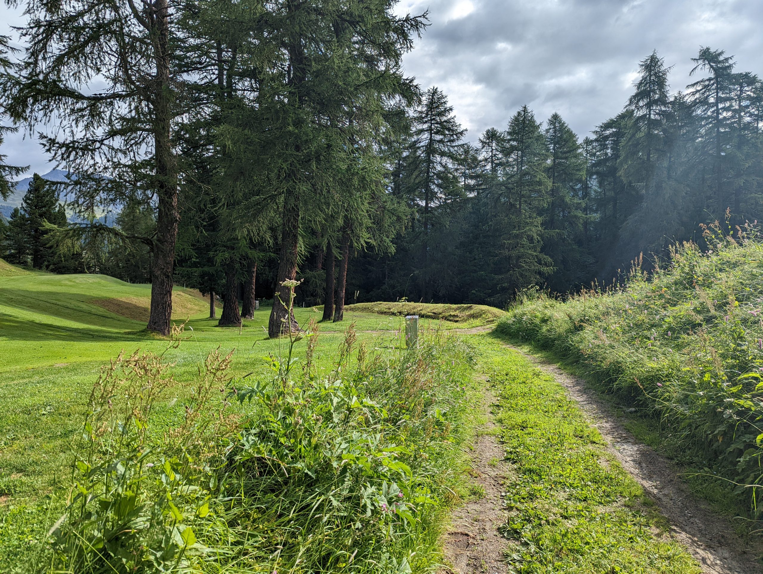
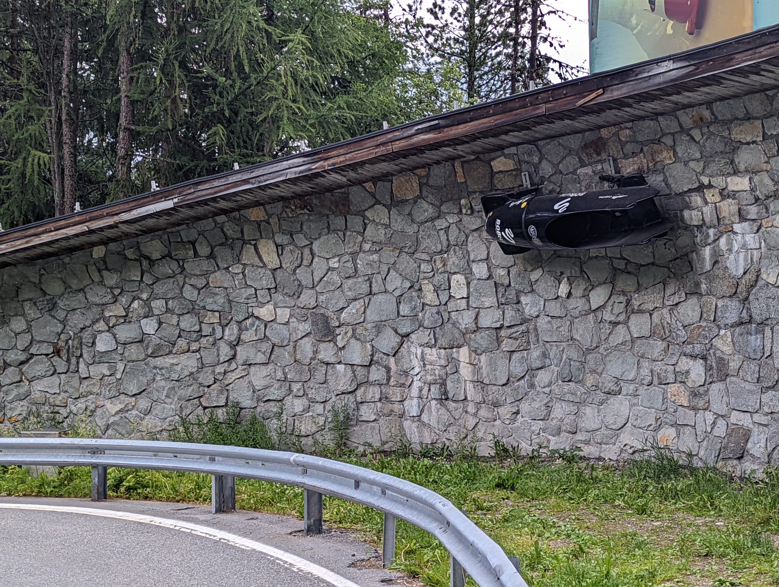
On a slightly gloomy morning, we started our day by walking out of the town to the start of the Olympia Bob Run, the original bobsleigh routeIn places the route only vaguely gives the impression of a bobsleigh run to those of us who’ve seen the more modern highly artificial courses on TV.
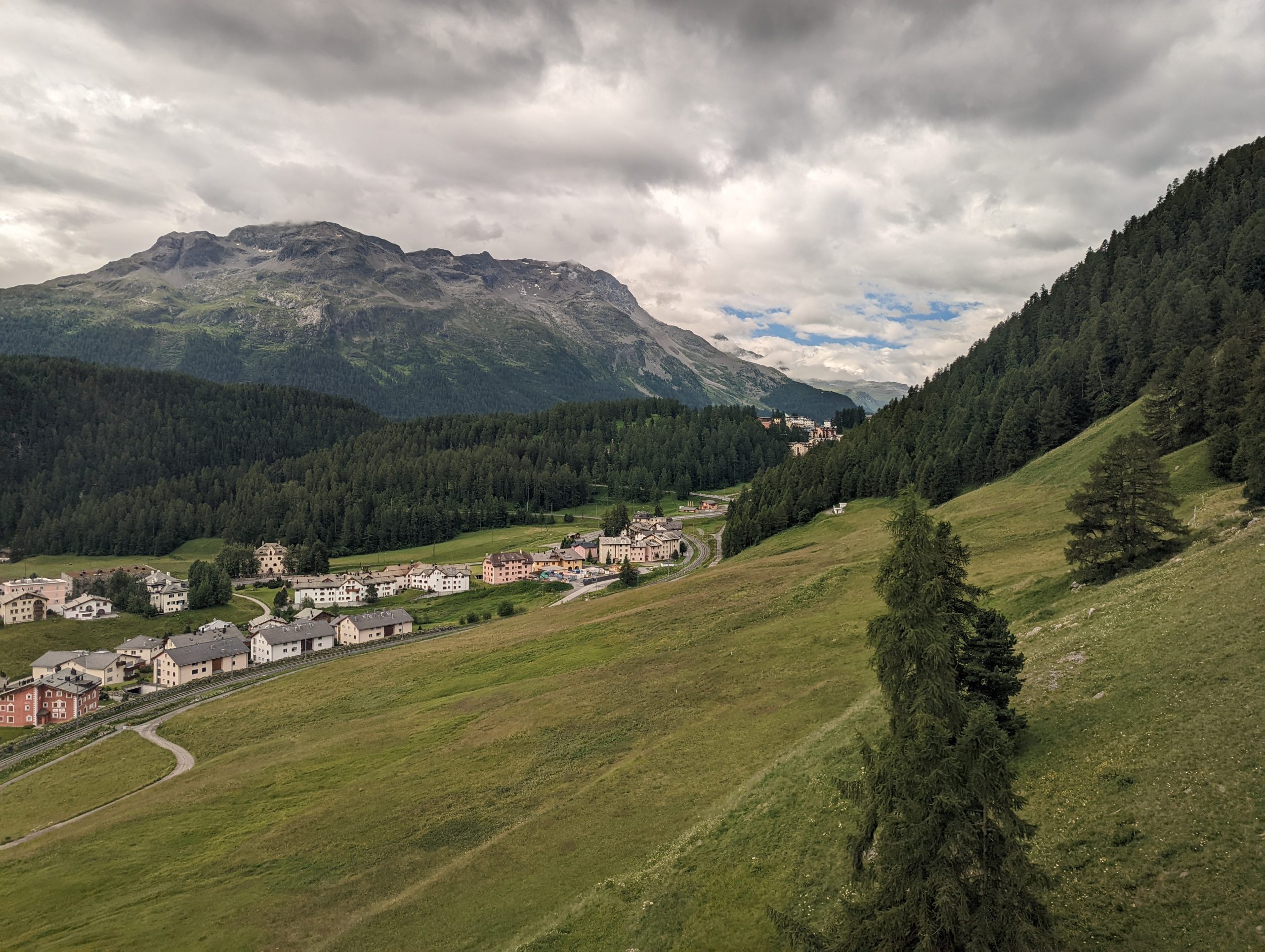
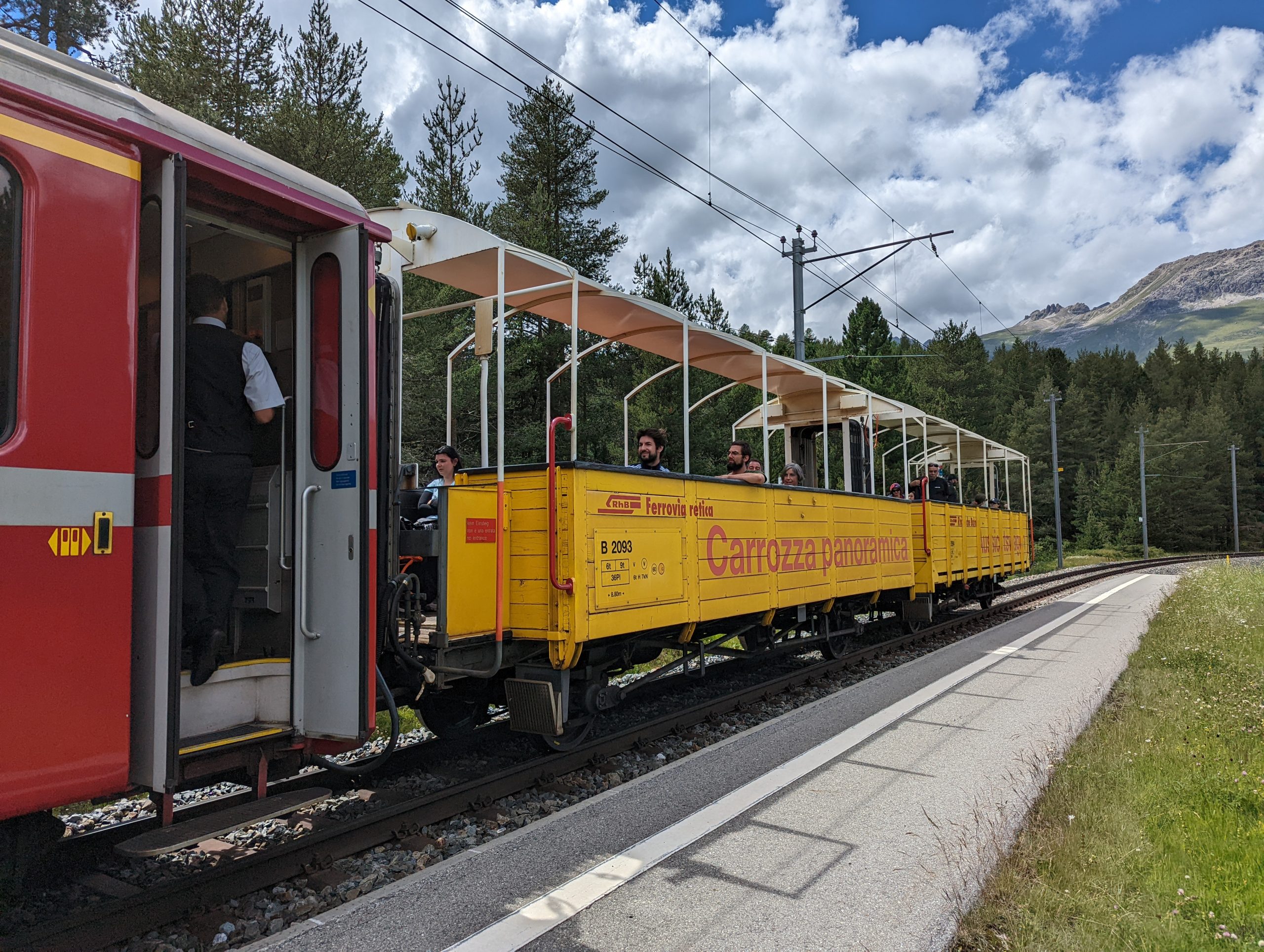
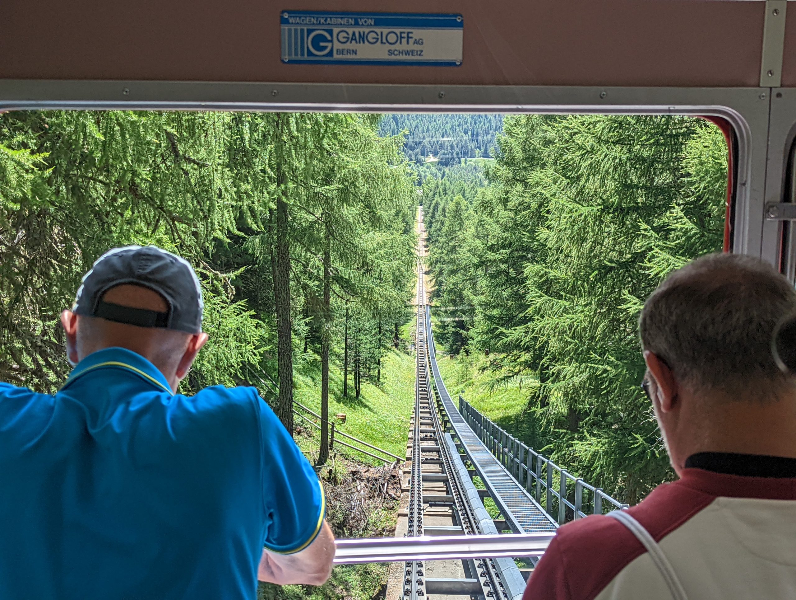
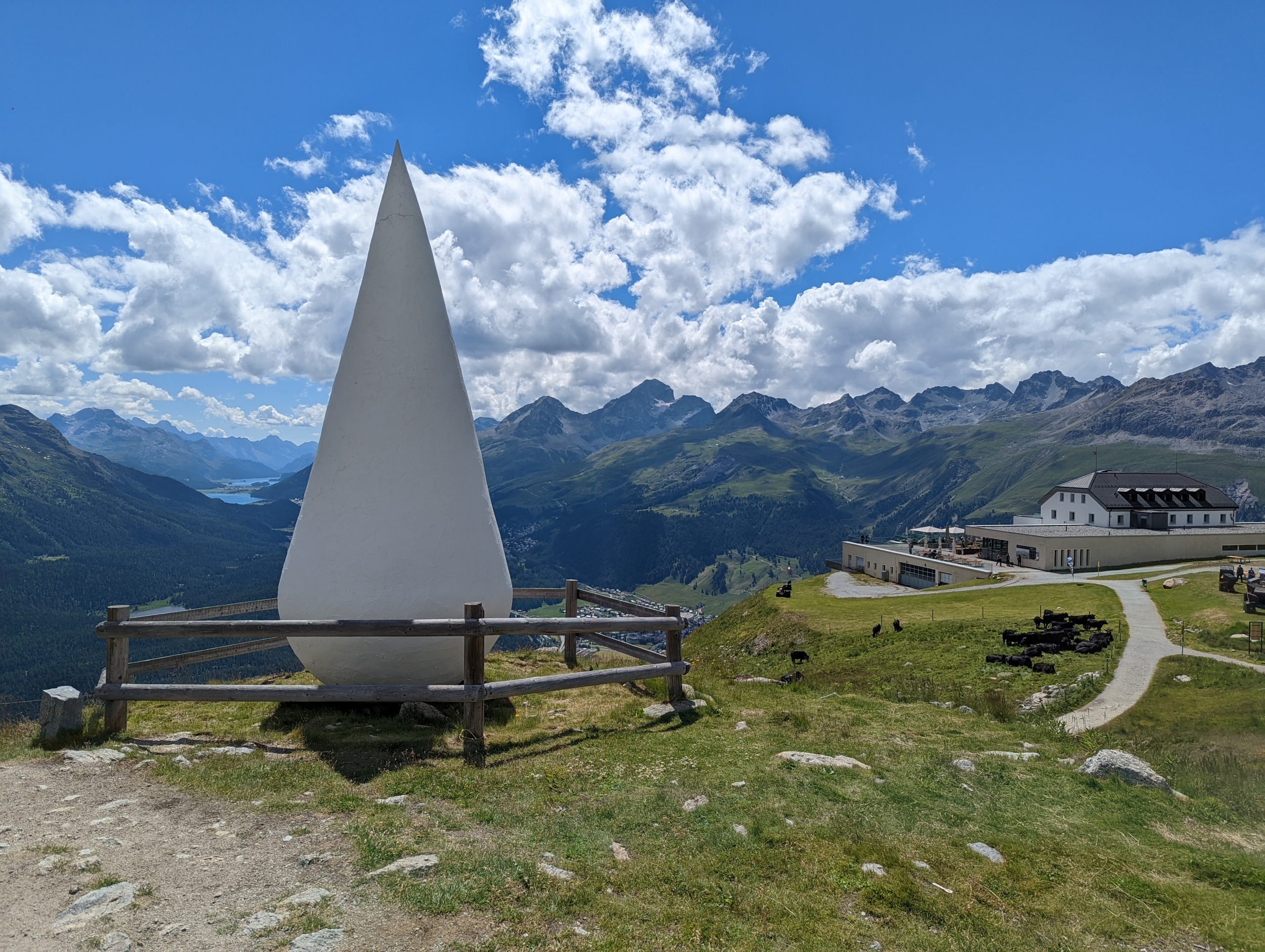
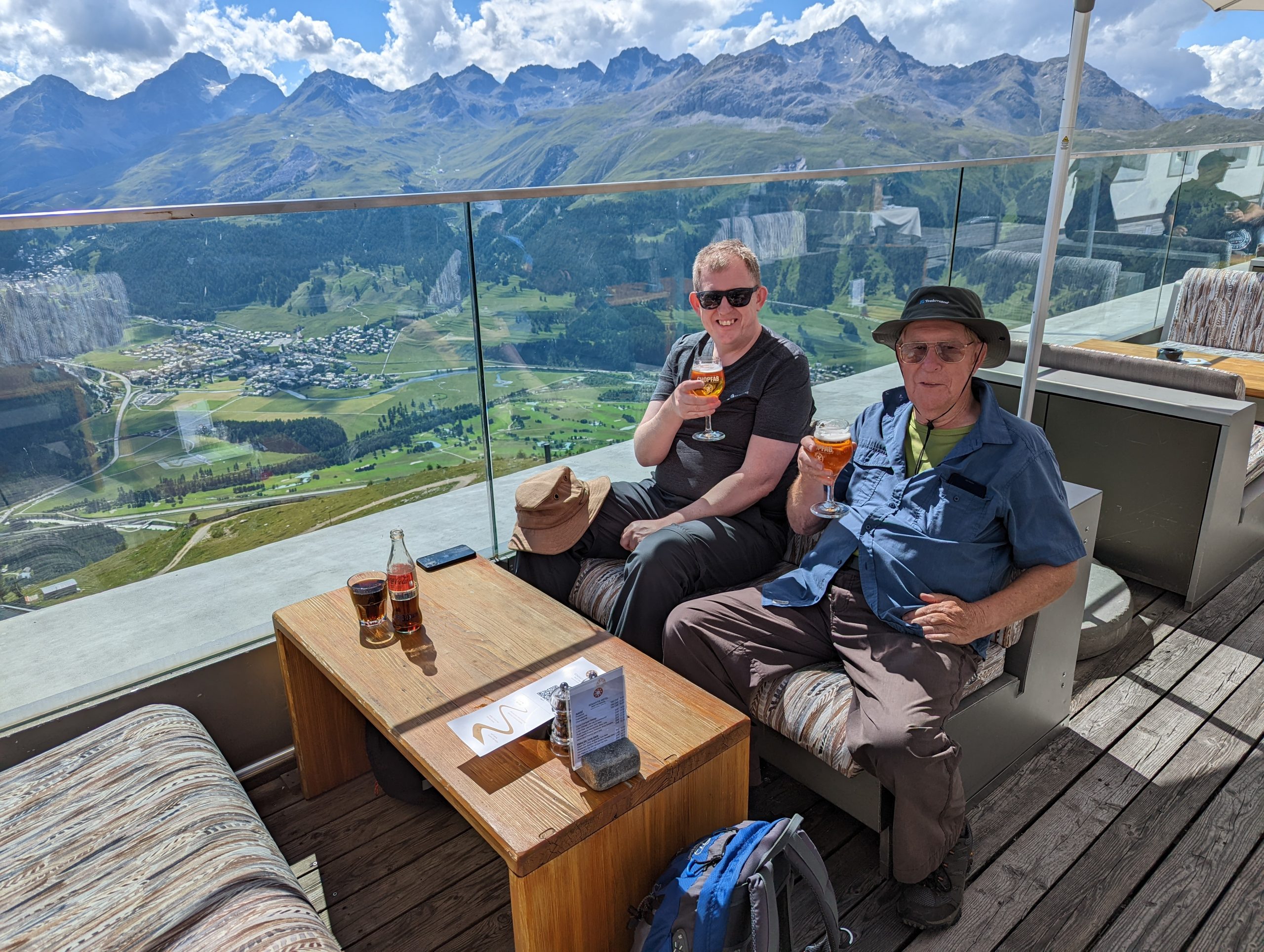
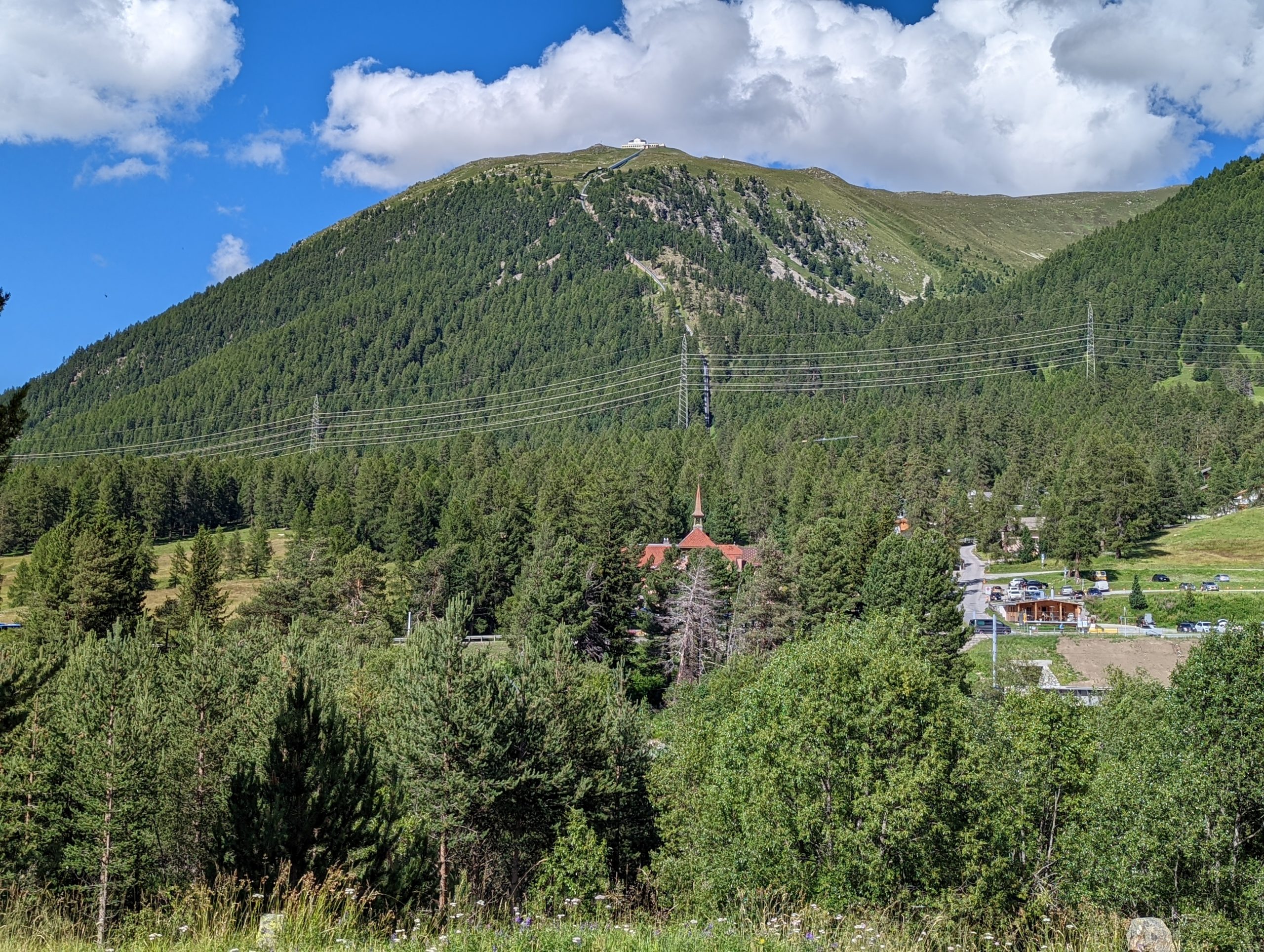
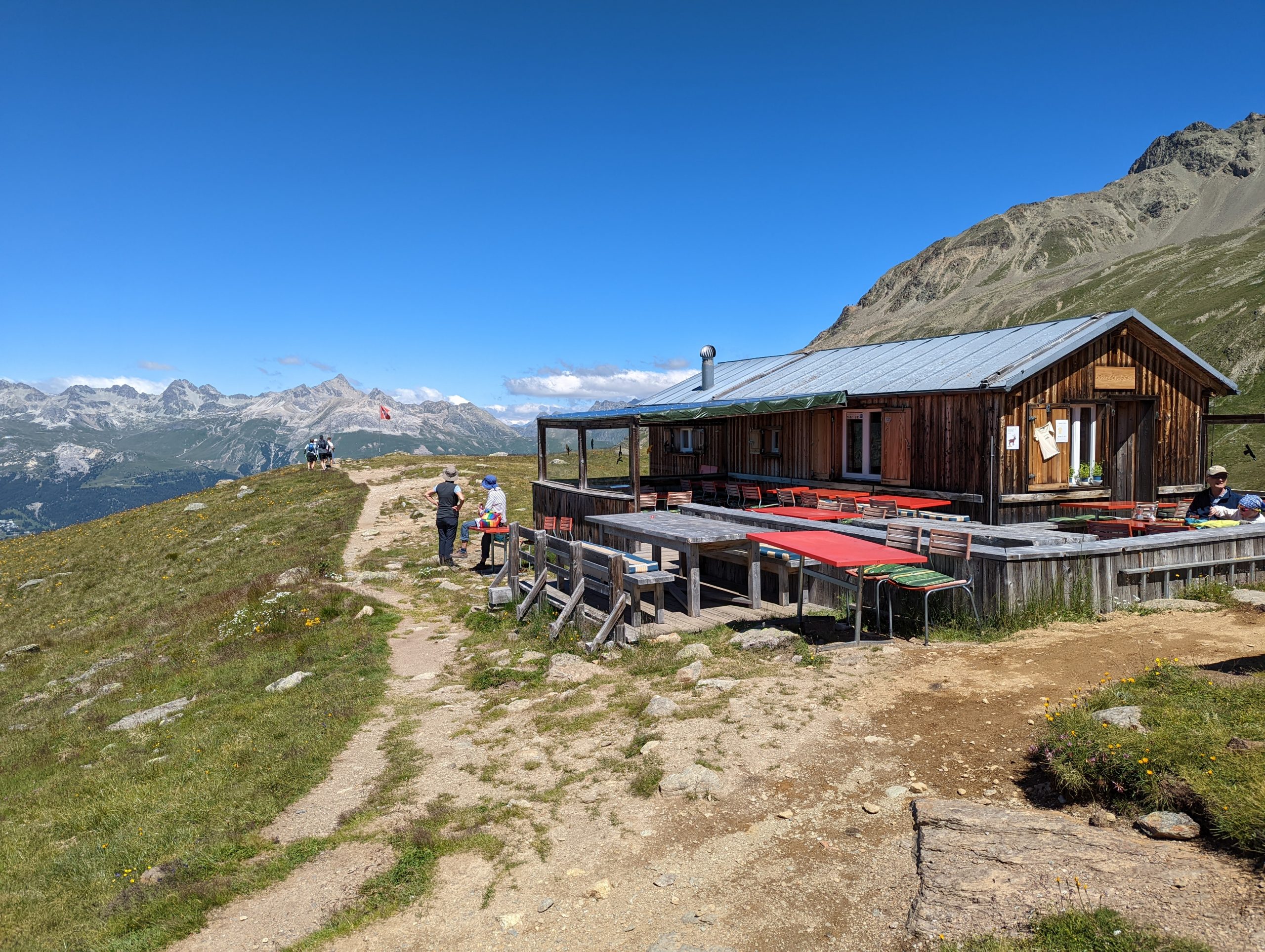
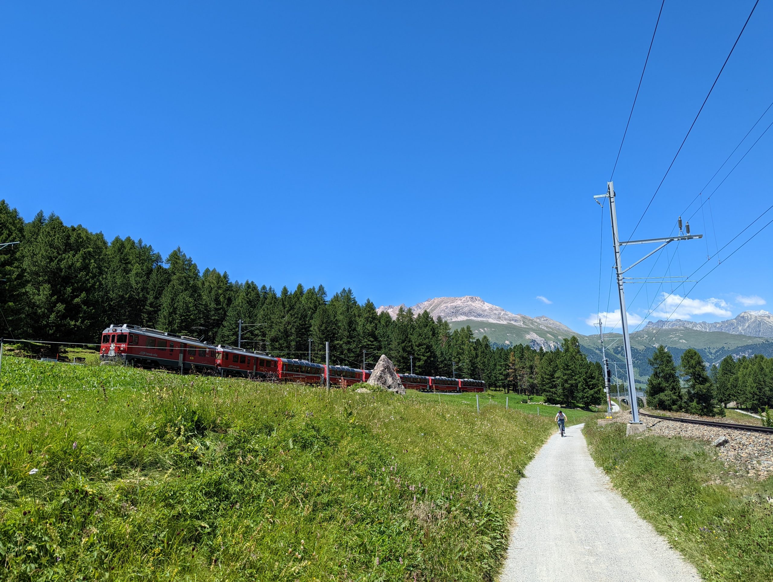
This route from St Moritz to Celerina dates from 1904, and has hosted two Winter Olympics and numerous European and World Championships. The winter route, being the world’s oldest, doesn’t benefit from the artificial freezing now commonly used elsewhere.Further down, the larger turns are more obvious, with the bridges in place for spectators, though all the greenery in July requires a bit of imagination to turn white.We walked into Celerina and caught the gondola up to Marguns at 2276m.Ascending to Marguns, looking in the direction of St Moritz over the outskirts of Celerina.Safely off the gondola at Marguns.We then ascended slowly through a few rain showers, initially heading towards Sass CorvigliaDad and Mark as we gain heightAt Glüna station we turned more to the south and walked to Lej Alv, delightfully nestled among the mountains.…but somewhat dwarfed by the higher artificial reservoir, still attractive but close to being out of place. From here it was a short decent to Corviglia from where we took the two funiculars to descend back to St Moritz.Later in the afternoon, we went on an exploratory outing, starting with an open-sided railway journey at the start of its journey to Italy, the three of us just going as far as Punt Muragl Staz today. It’s quite a interesting experience, and remarkable that it is permitted in today’s safety conscious world since there are clearly hazards, mostly from people being stupid, but also from accidents.At Punt Muragl Staz station, we get off and bid the rest of the travellers farewell as they head south.We walked across the Flaz and the other railway line from Samedan to reach the Punt Muragl funicular station Looking down as we ascend the funicular which climbs from 1738m to 2454m.From the station and hotel at the top of the funicular, a glorious view up the Muragl valley. This was one potential walk I’d had on my list which we didn’t get to do.Looking across the funicular track to Celerina in the centre, with St Moritz centre-left next to its lake, with more lakes further up the Engadin valley.“Il Guot”, Romansh for “The Drop”, was created by Timo Lindner in 2007 to mark the centenary of the Muottas Muragl funicular railway. Made of natural stone and mortar and coated in white marble, it is said to symbolise water in all its various forms, from rain to ice to snow.Enjoying a drink with a viewWhile waiting for the train back home, a look back at the funicular route – from the station with the spire, up through the forest, to the white hotel on the top.
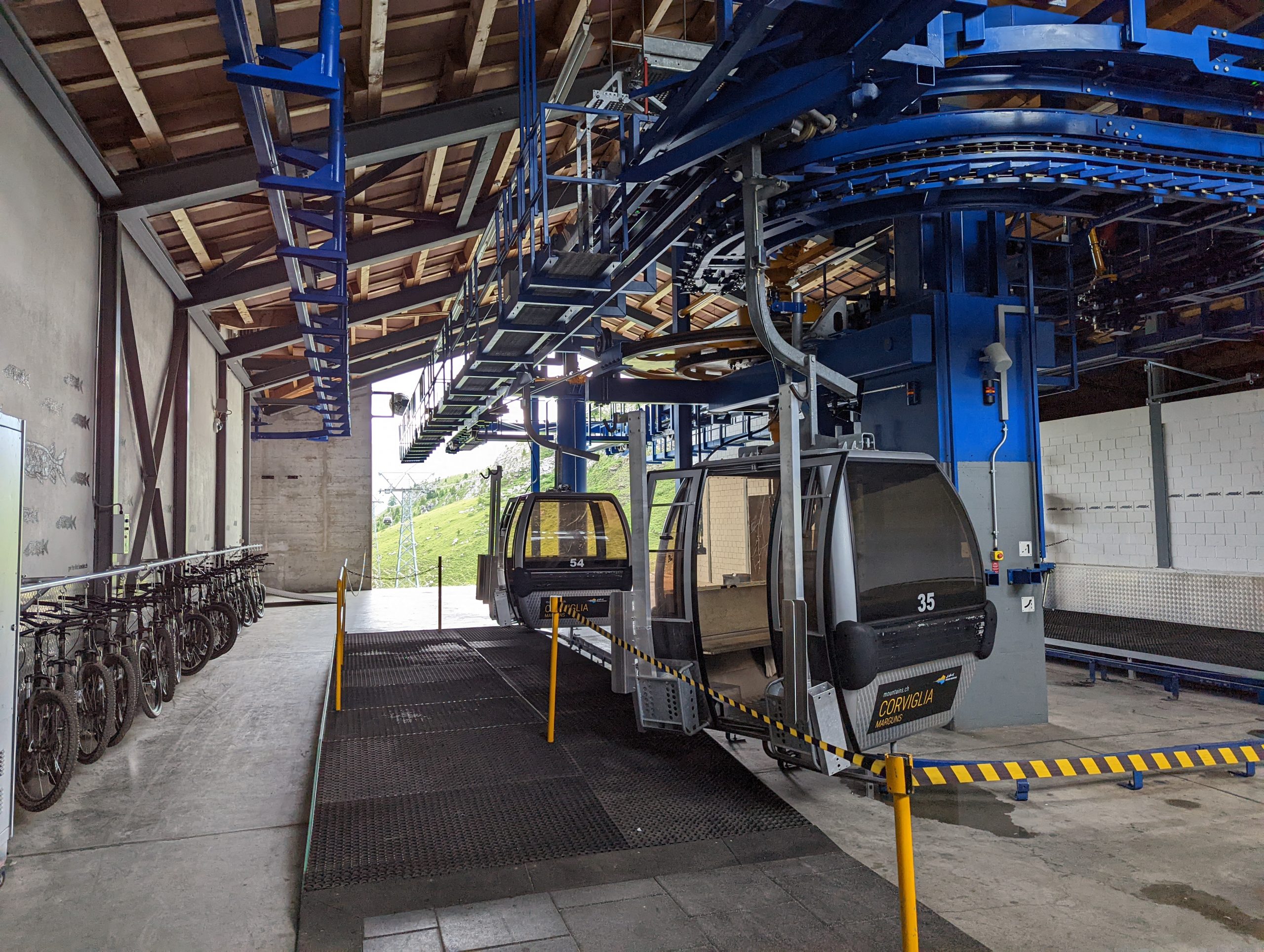
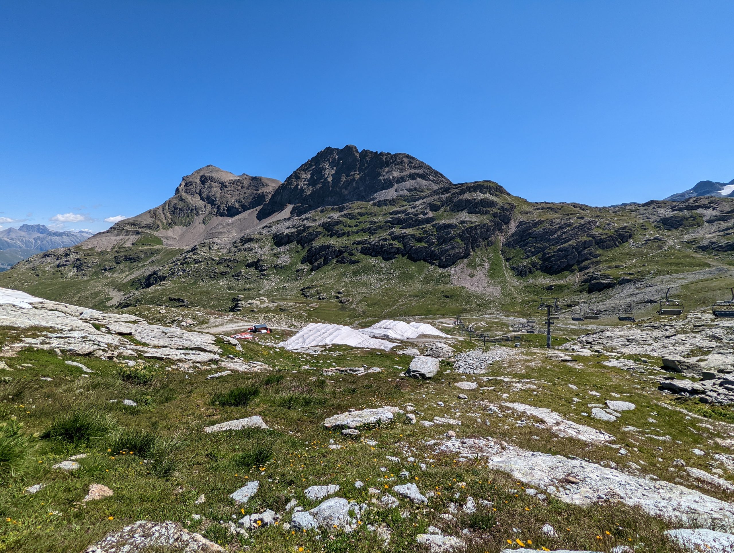
Wednesday – Corvatsch and Furtschellas
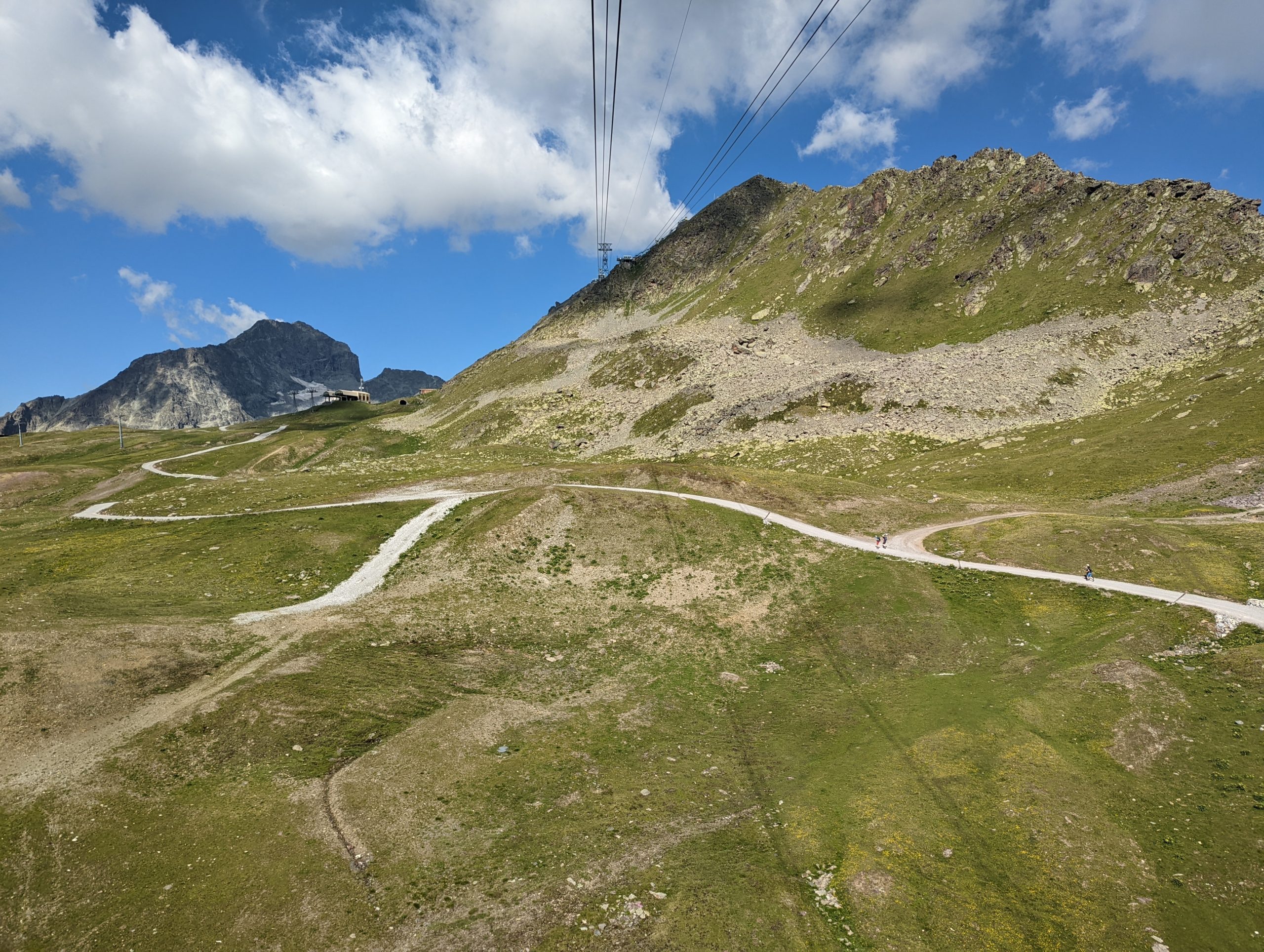
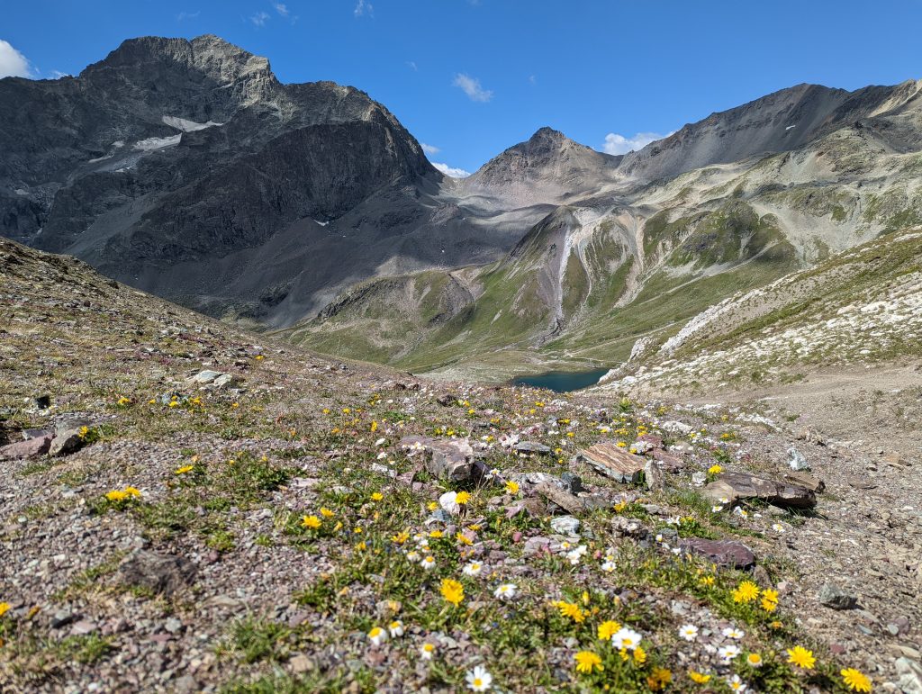
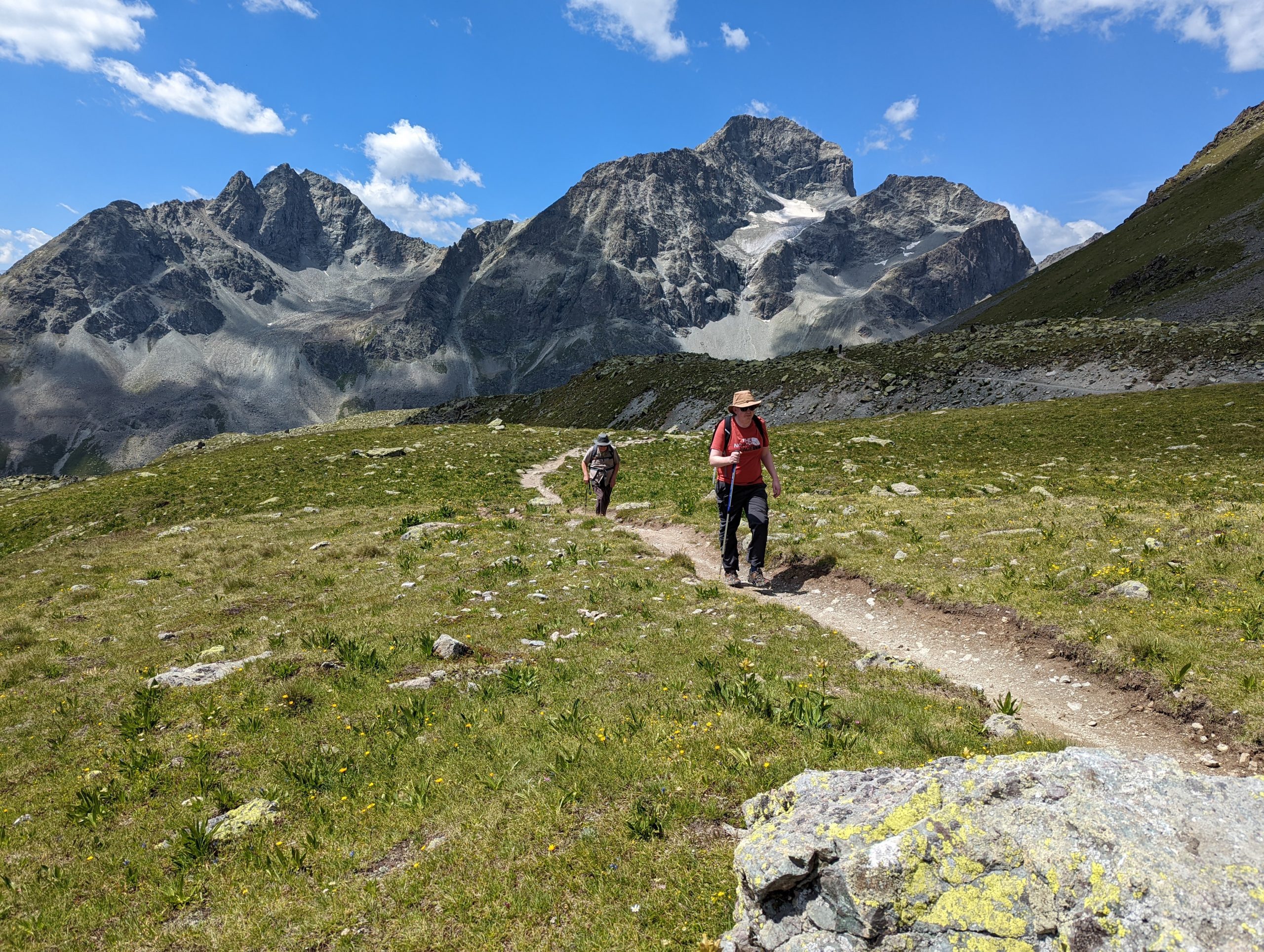
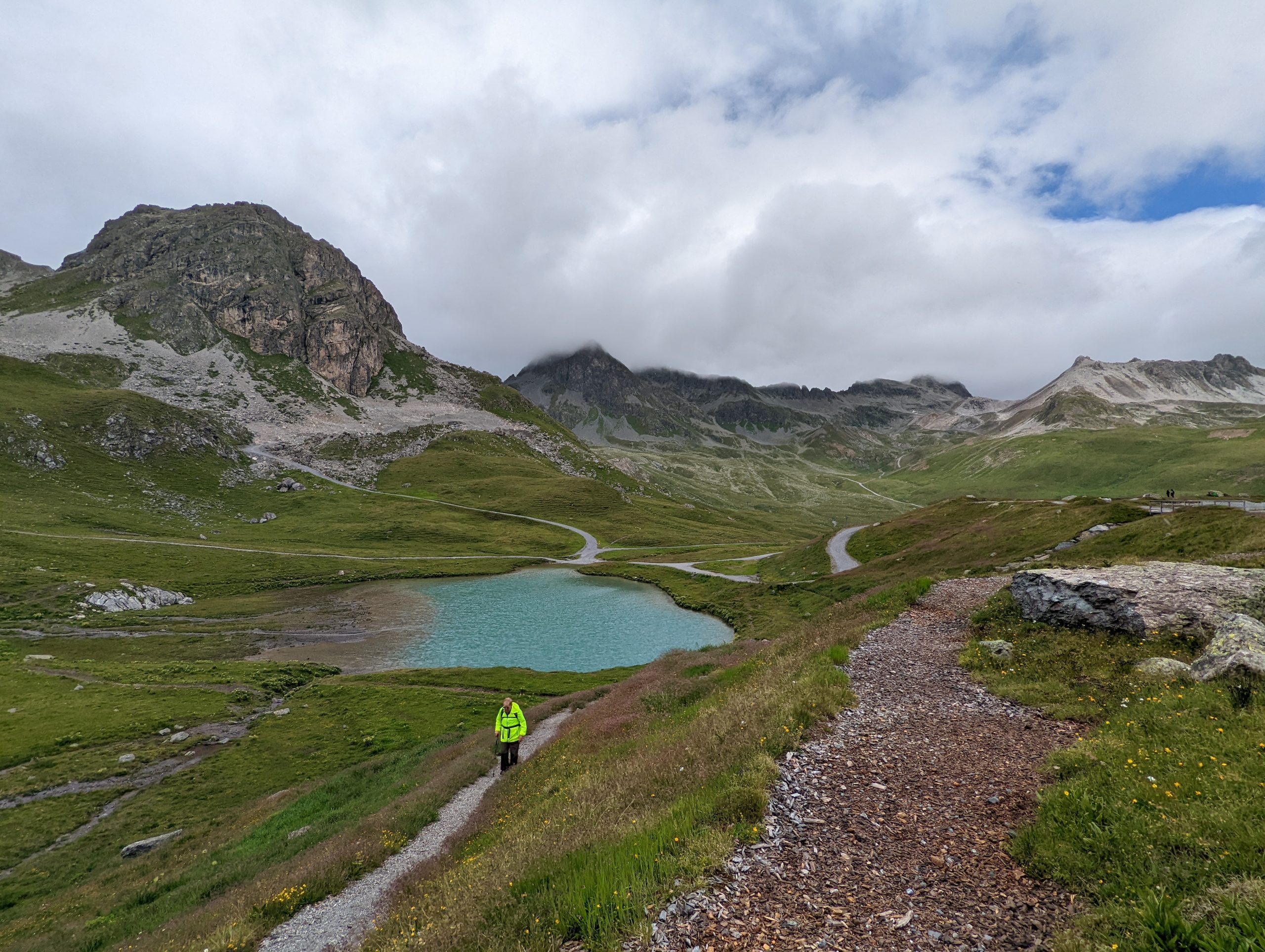
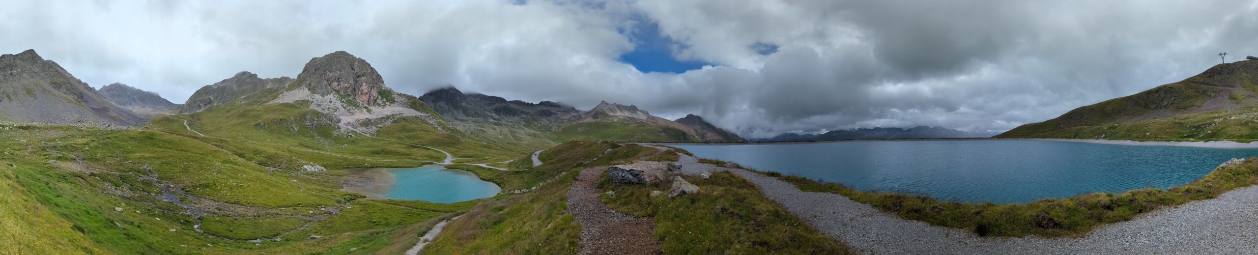
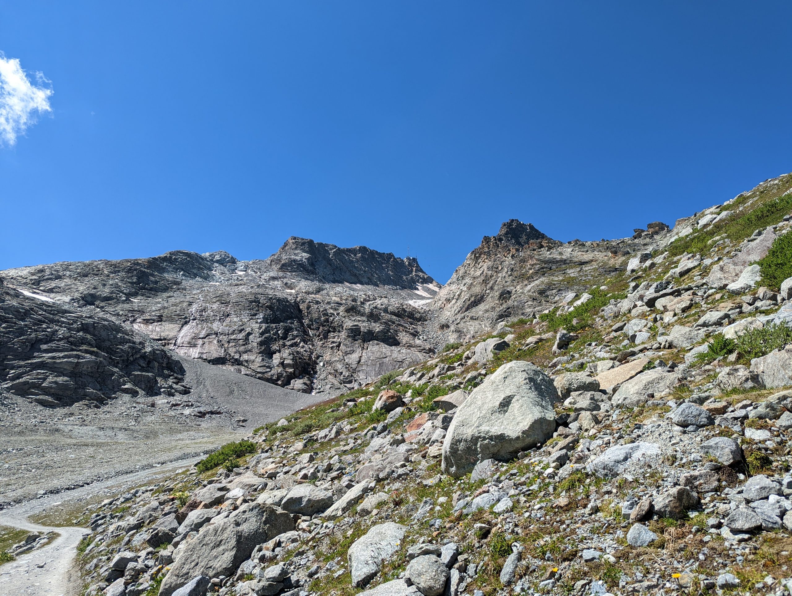
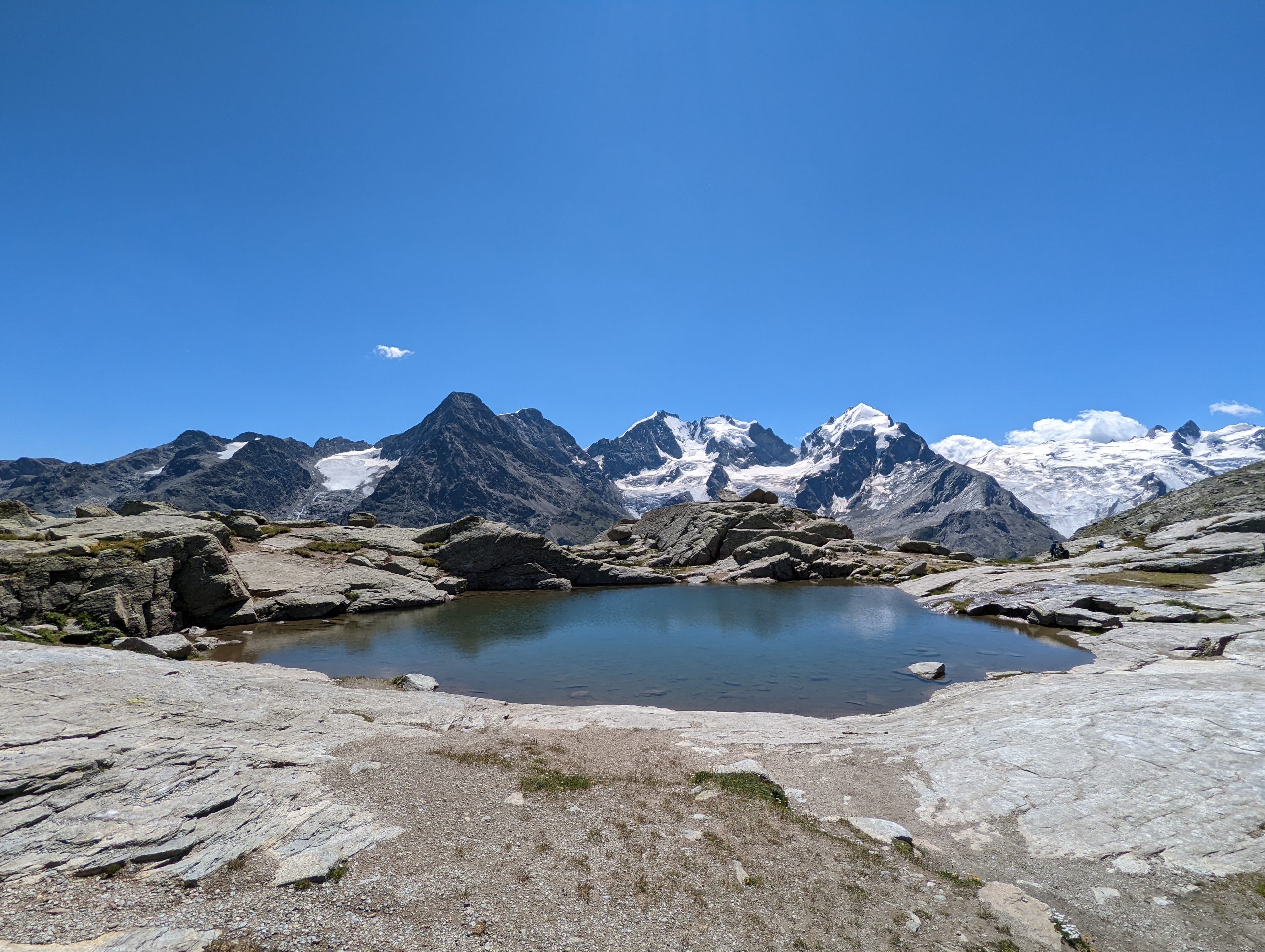
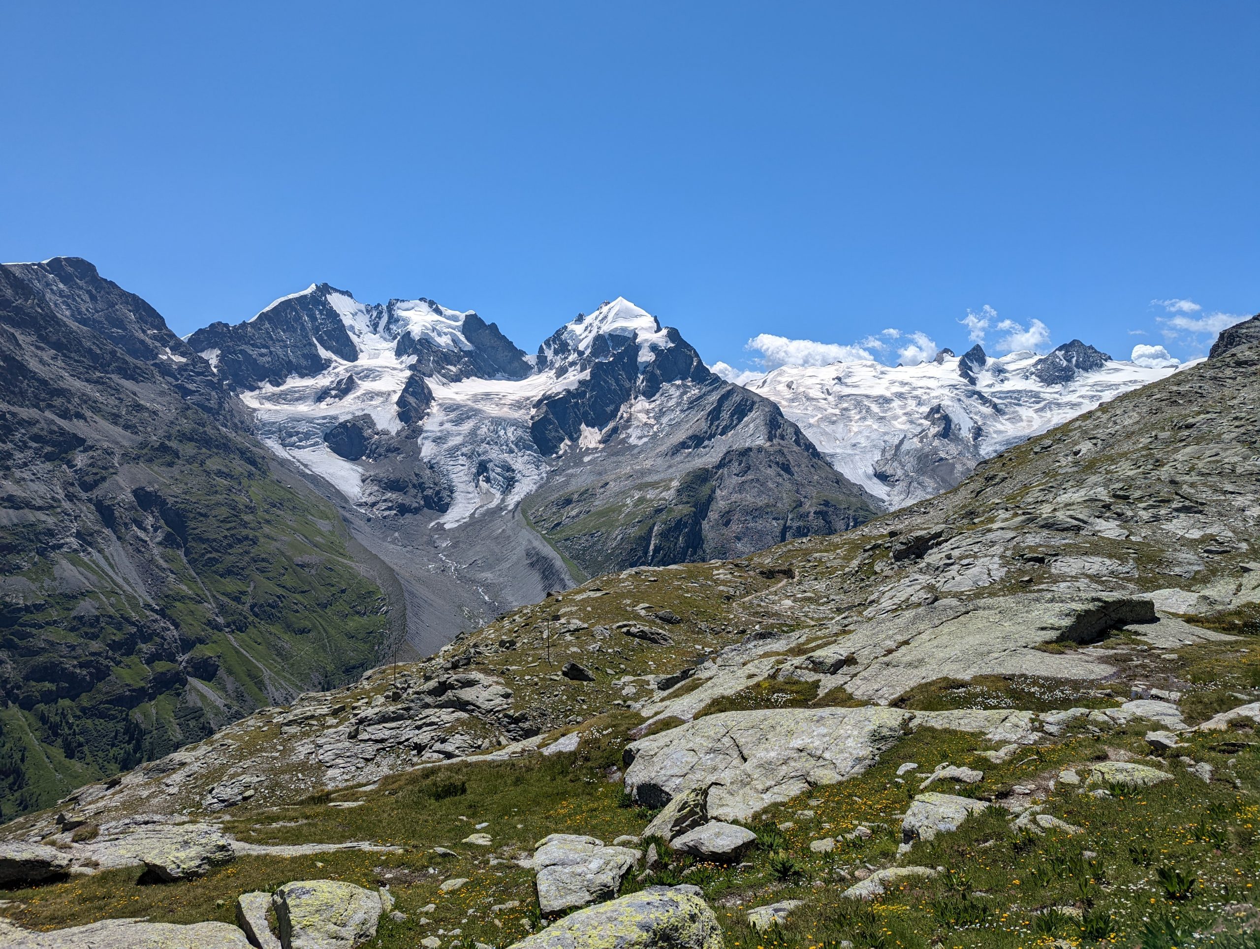
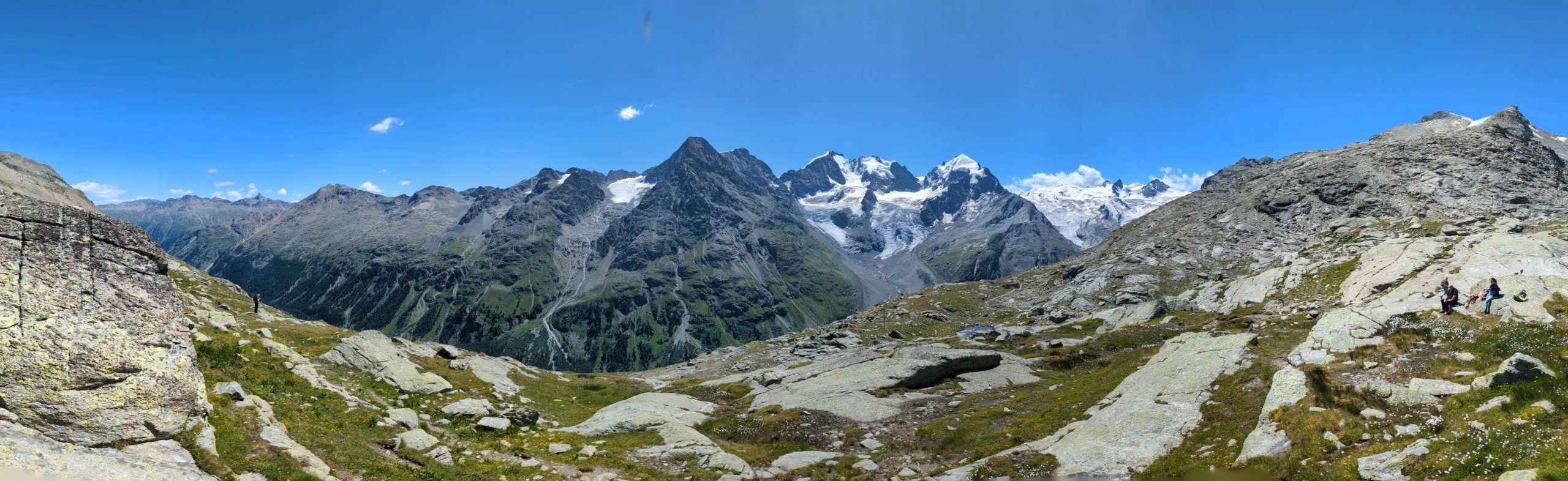
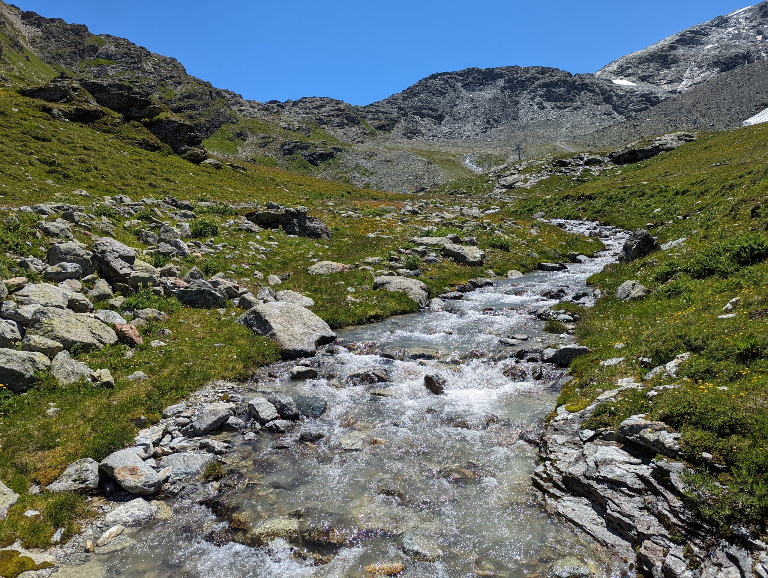
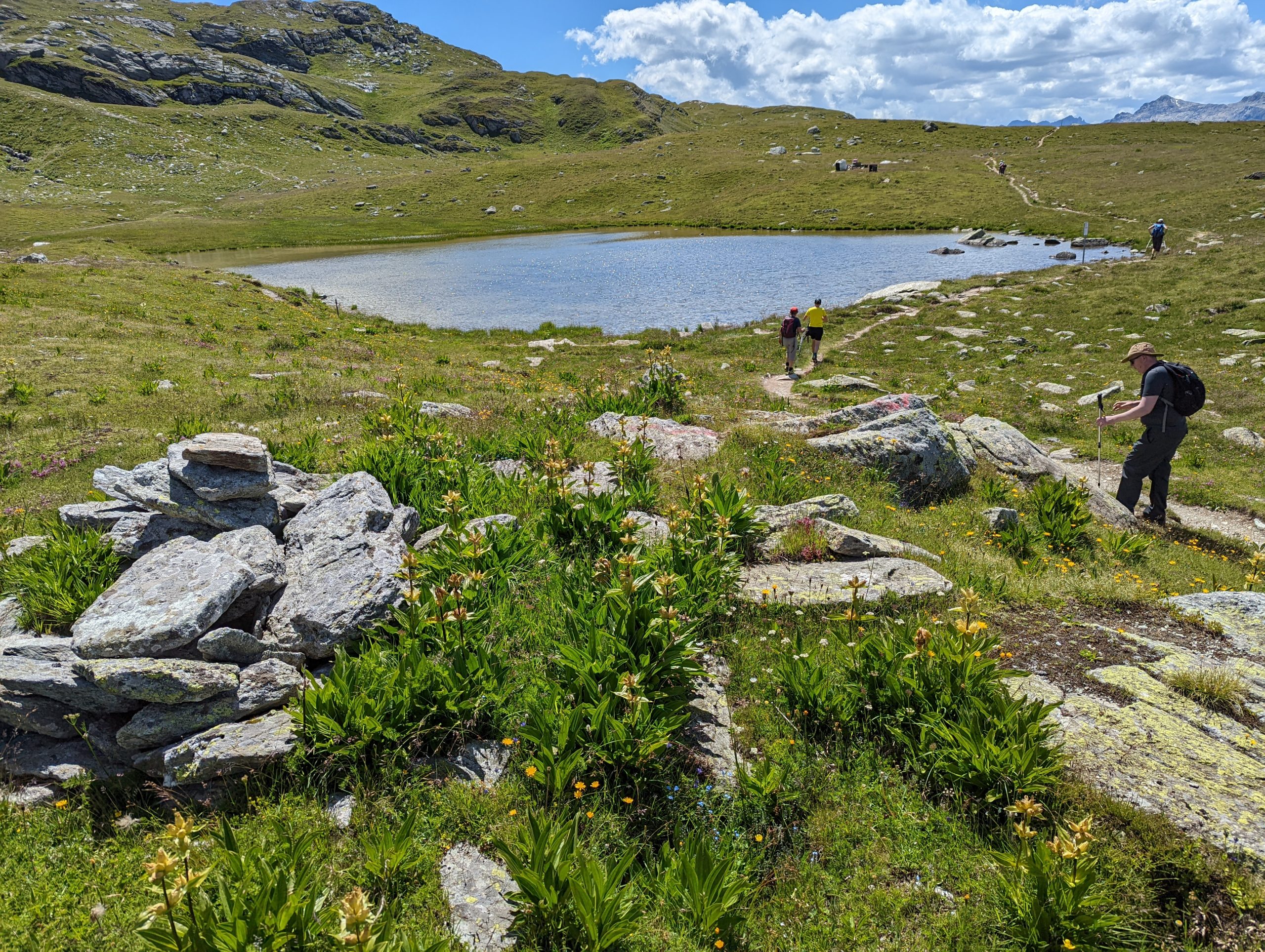
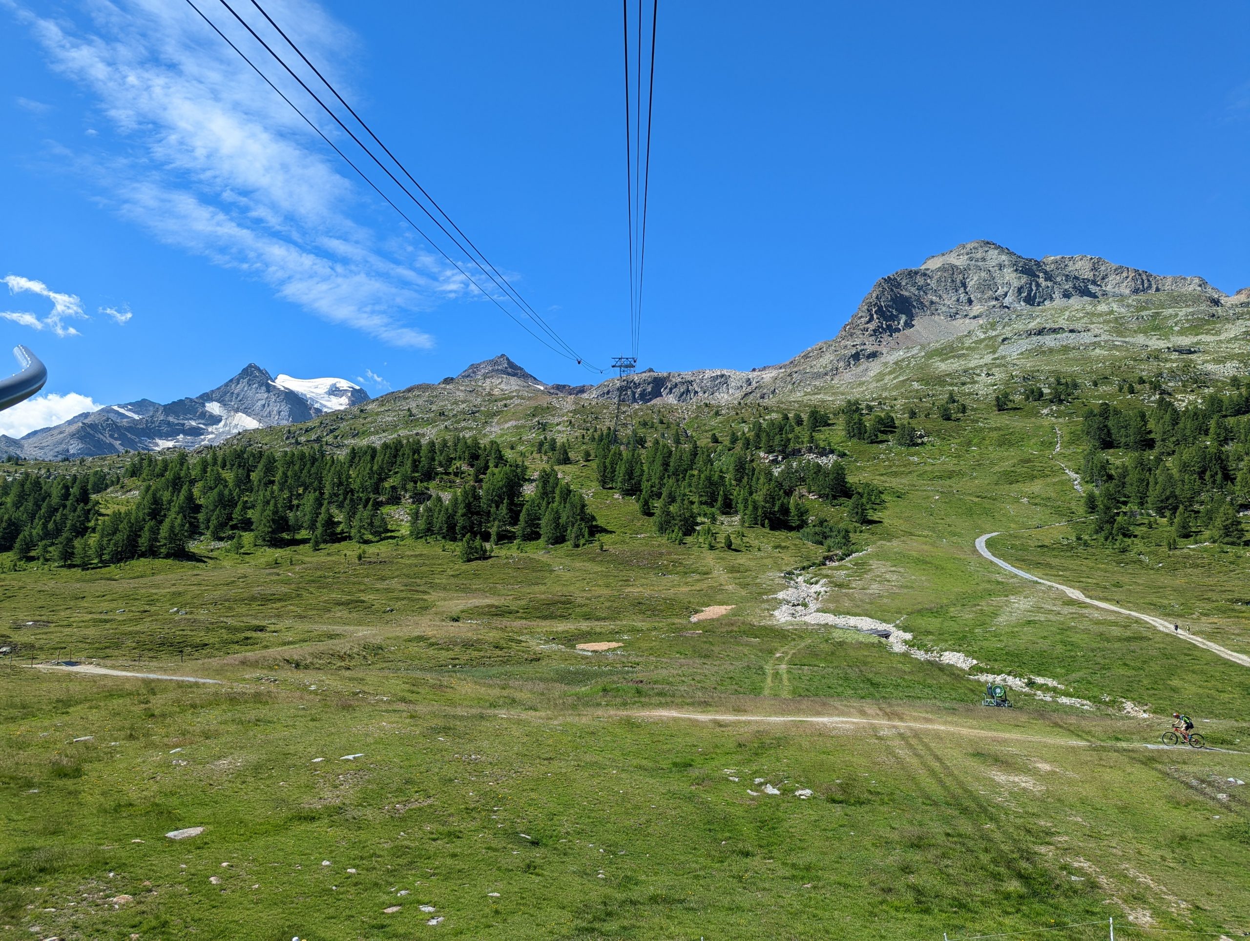
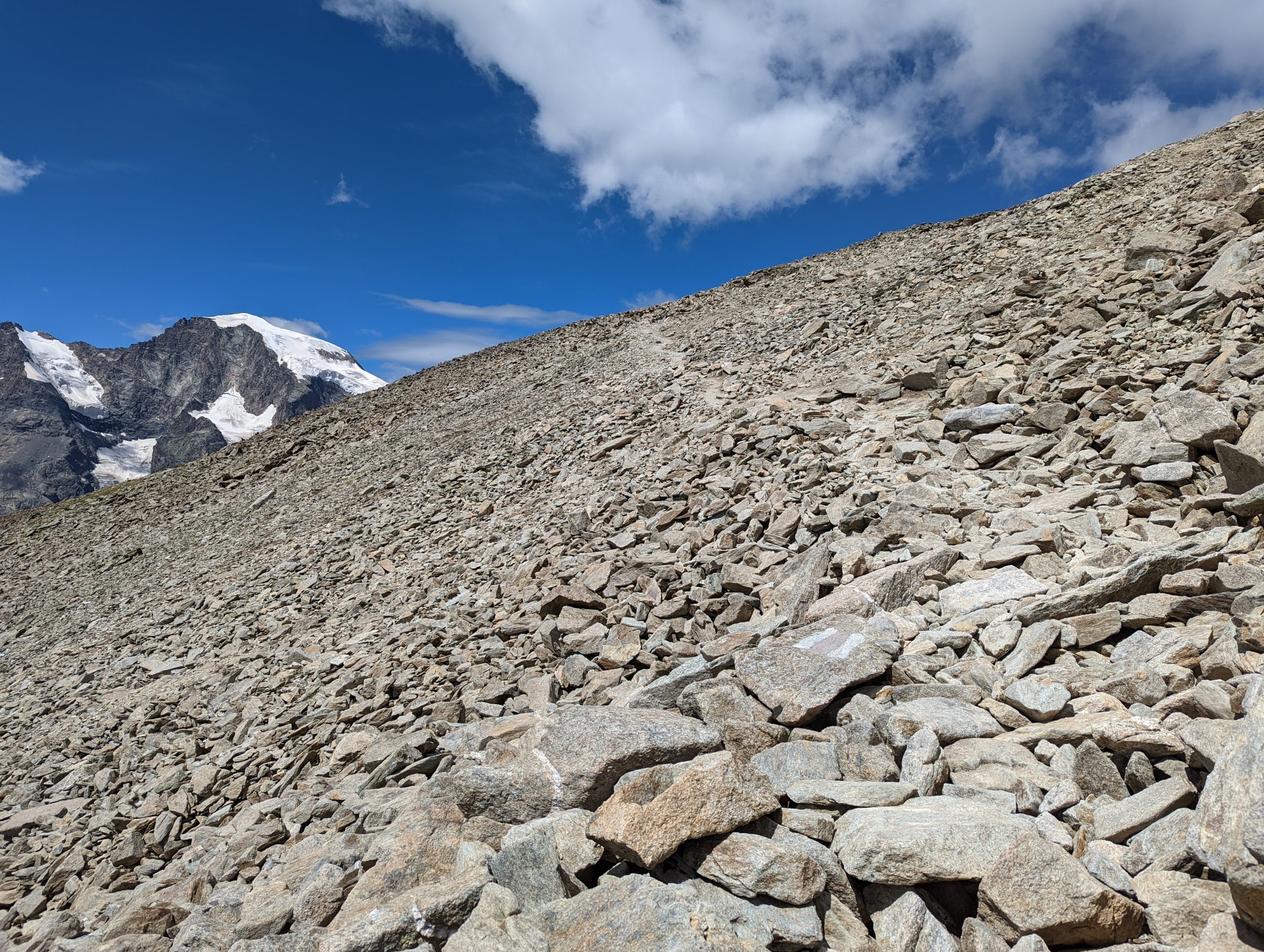
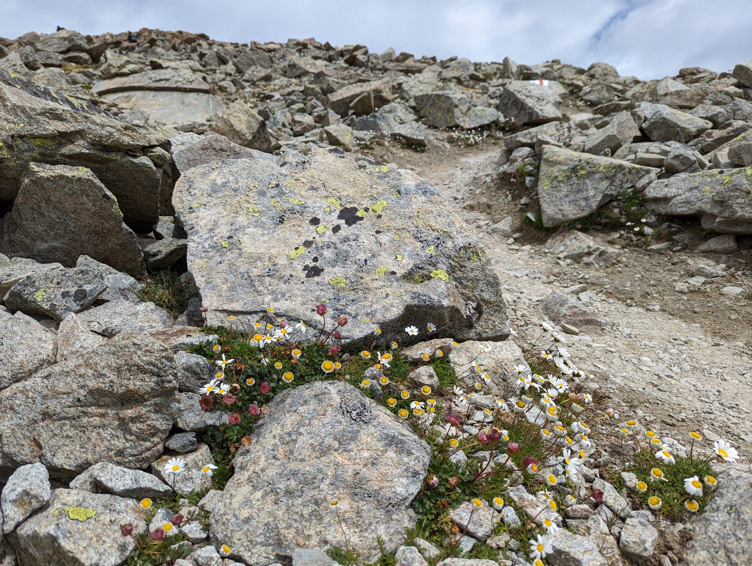
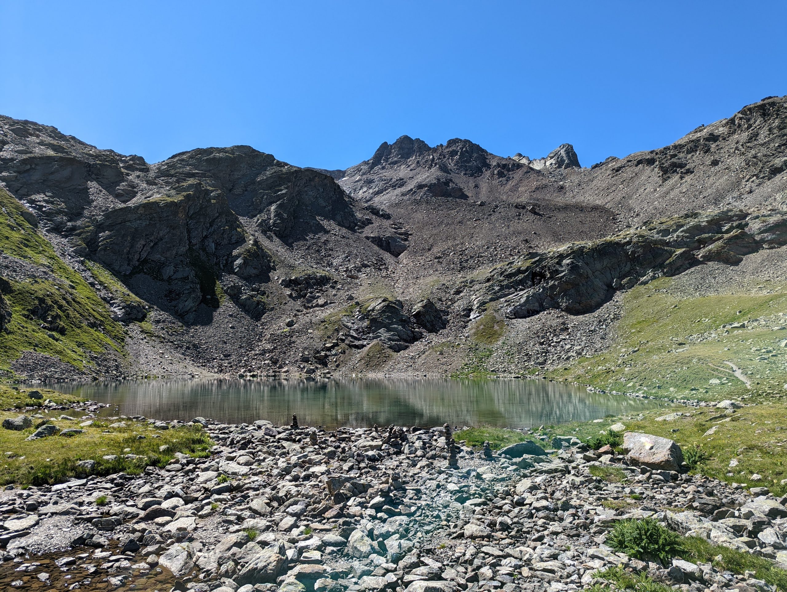
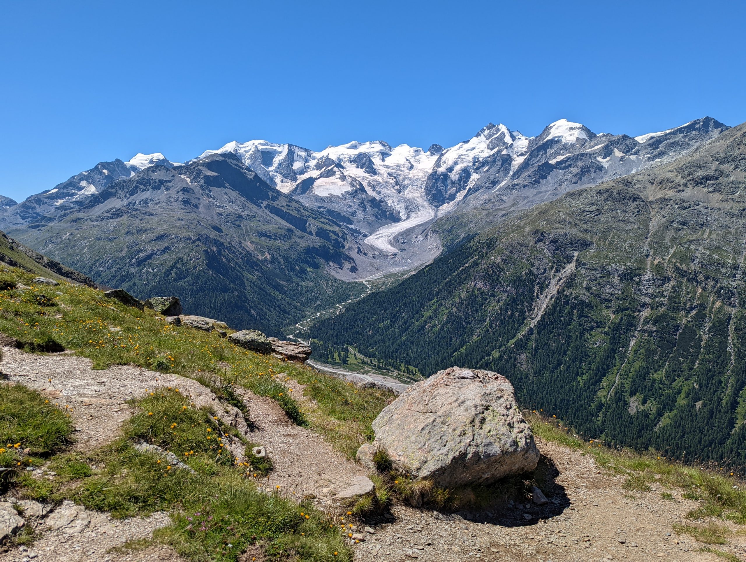
We took the bus to Surlej and the cable car up from 1864m to the middle station at 2698m, and then the second cable car seen here as we rise to 3297m.From the top cable car station, a look to the highest mountains around Piz Bernina (4048m).We took the cable car back down to the middle station and began our walk, past the piles of last winter’s snow being kept under cover to help at the beginning of the next skiing season.We descend slightly to 2662m then climb a little towards the pass of Fuorcla Surlej at 2753m.Mark and Dad as we prepare for the uphill to the top of the passLater, our route will be along this valley to the leftAt the pass, a glorious panorama opens up – Piz Bernina in the centre, with bits of the Italian border running along the horizon on the rightWe’re above the valley of the Ova da Roseg river as it carries the waters away from the glaciersMark seeking out a great photo, as I look down the valleyThe view from our lunch spot.We’ve descended from the pass, centre left, and now cross the Ova da SchinellasFortunately there is a bridge.Passing the slightly overflowing Lej da la FuorcolaLejin Rhodonit (named after the rhodonite mineral found nearby)Lejin S-chagliaThe view back to the top cable car station (and the Moon).I had intended to continue past Lejin Epidot but took the wrong path, and then took what transpired to be a less good option to reach the Furtschellas cable car station – which had the inadvertent effect of Mark getting shocked by an electric fence. But we made it and here await the next car to take us down to the valley, and from there the bus back to St Moritz.
Thursday – Diaviolezza and Munt Pers
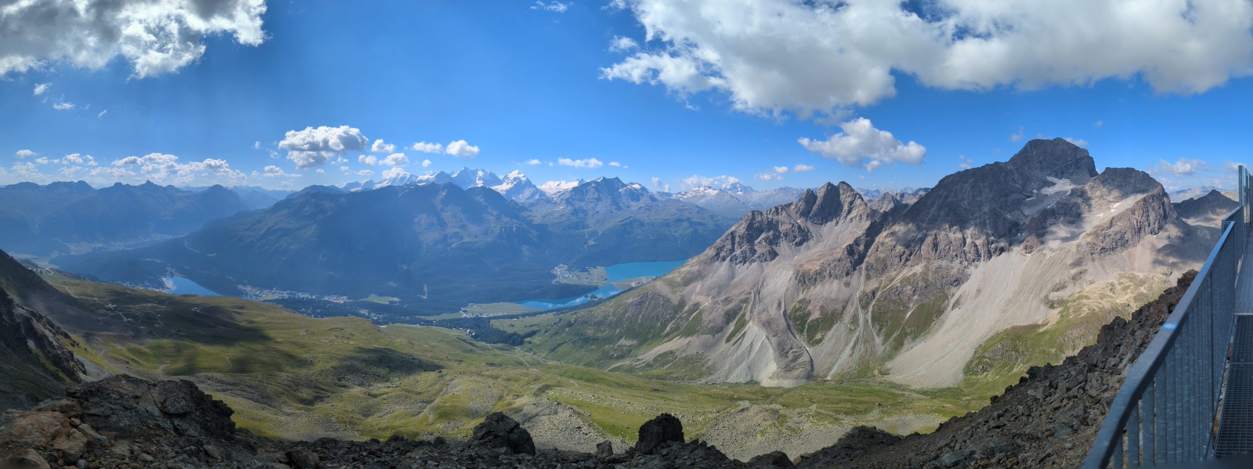
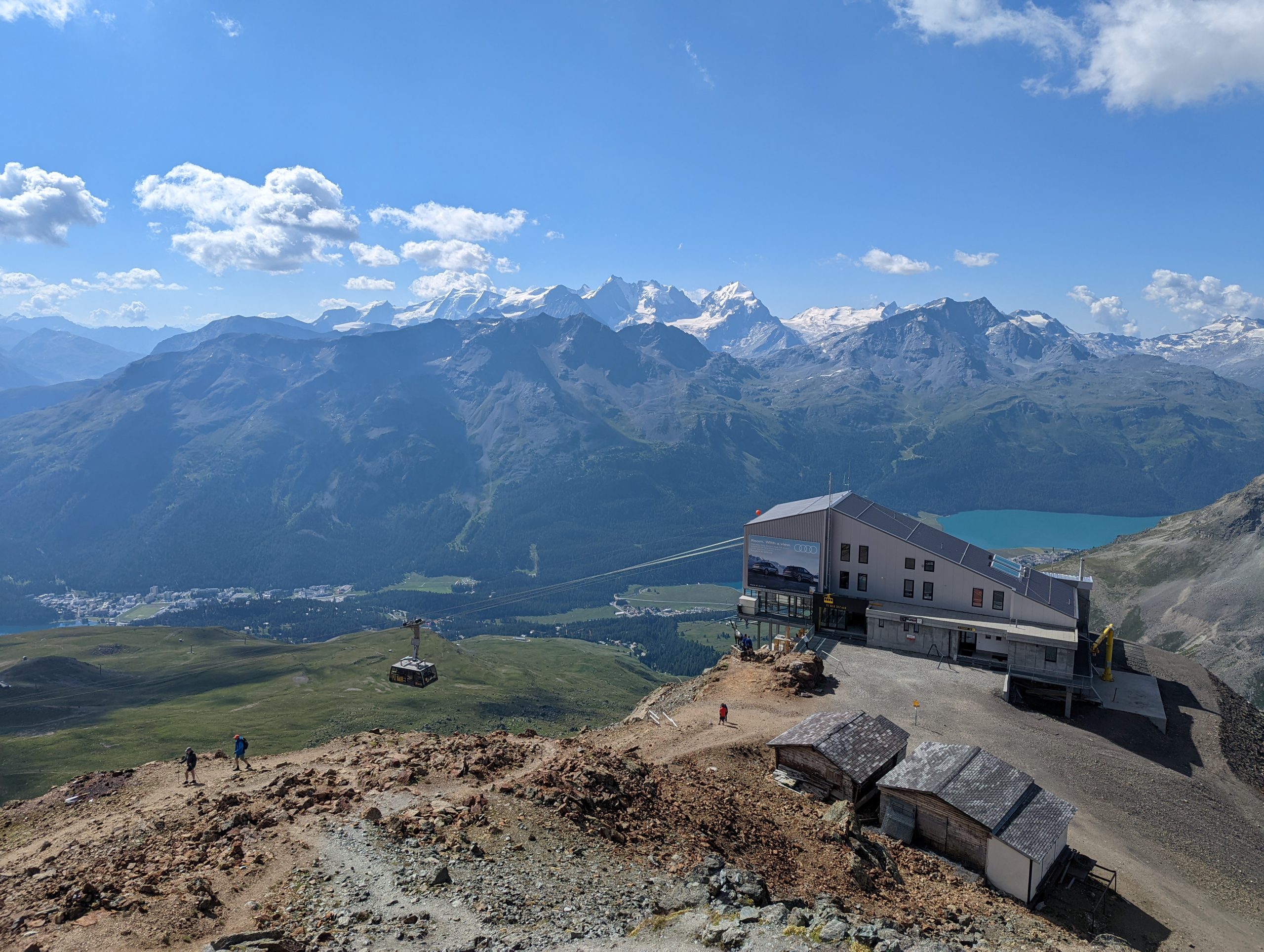
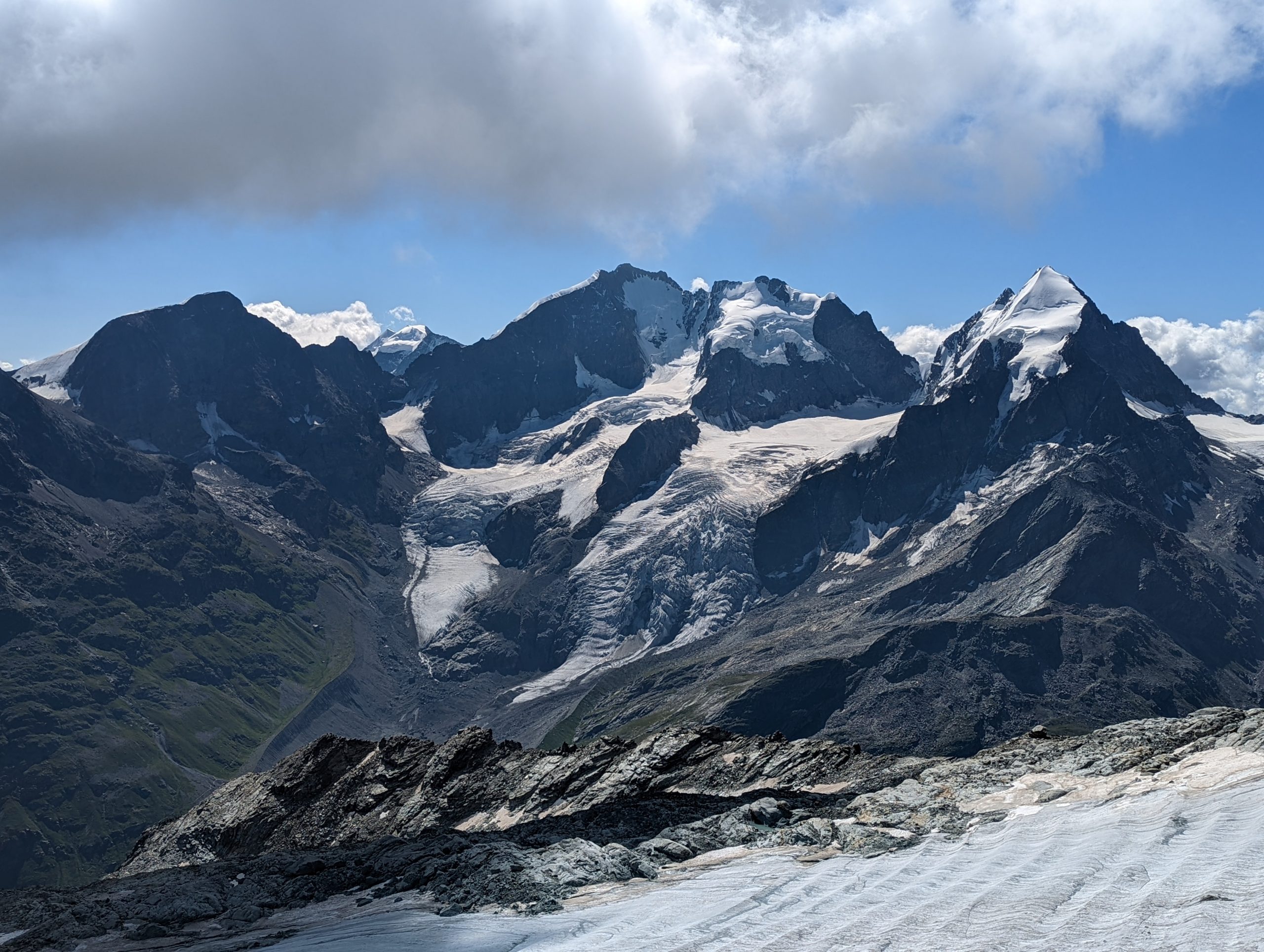
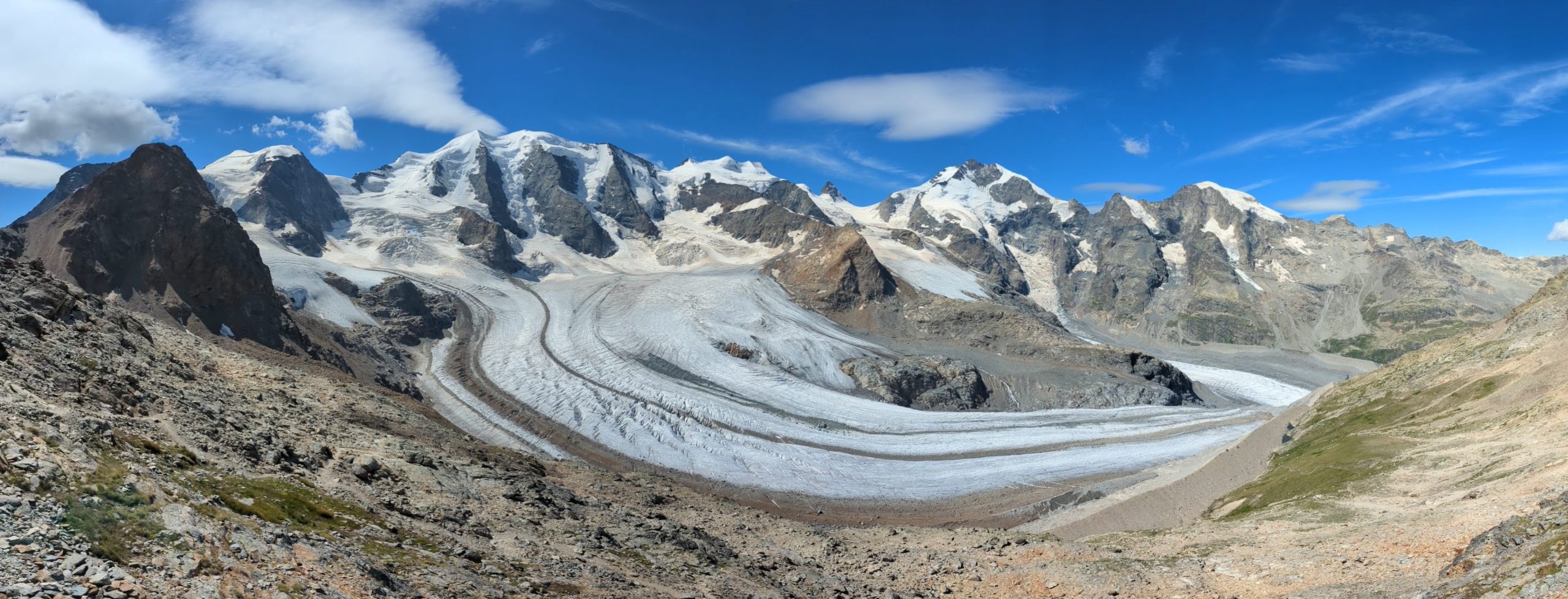
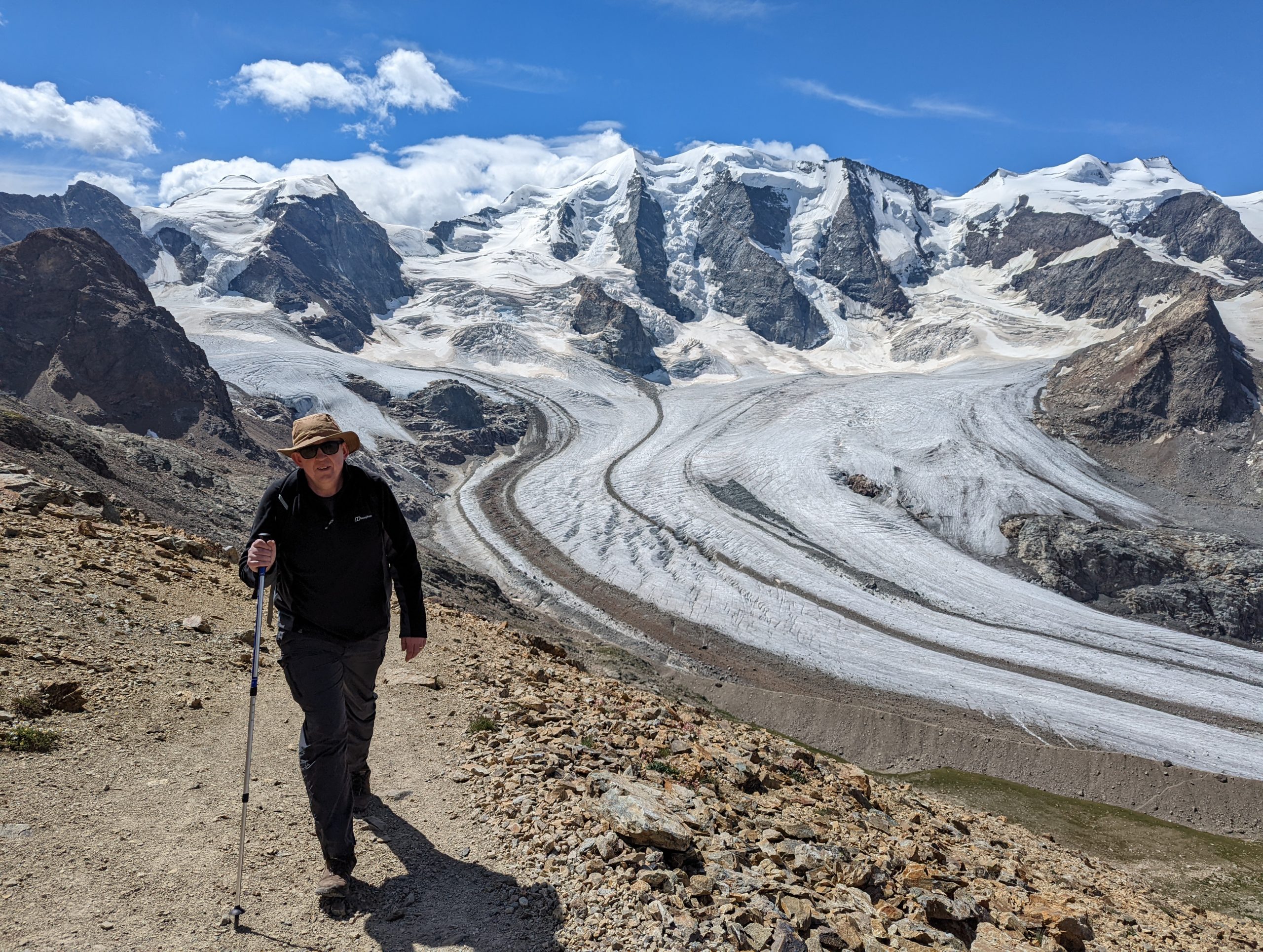
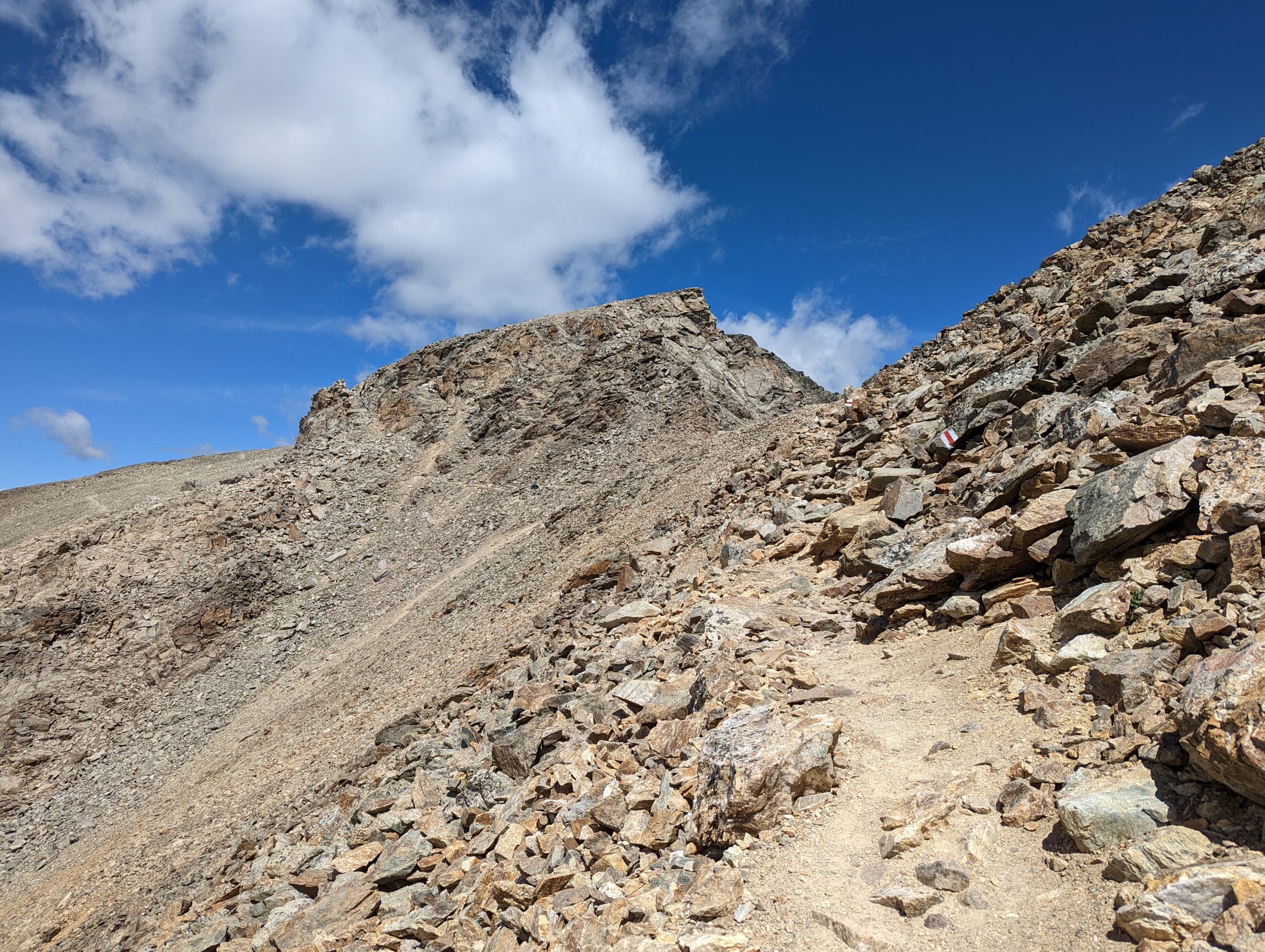
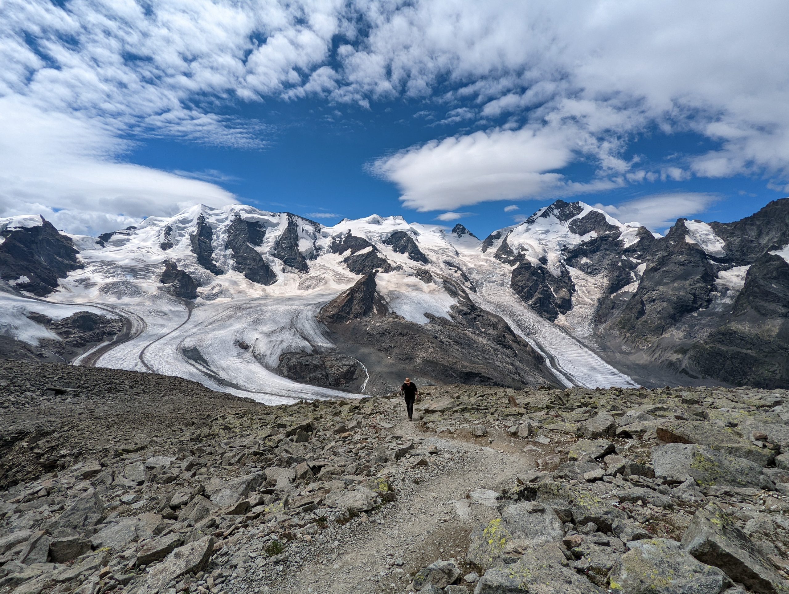
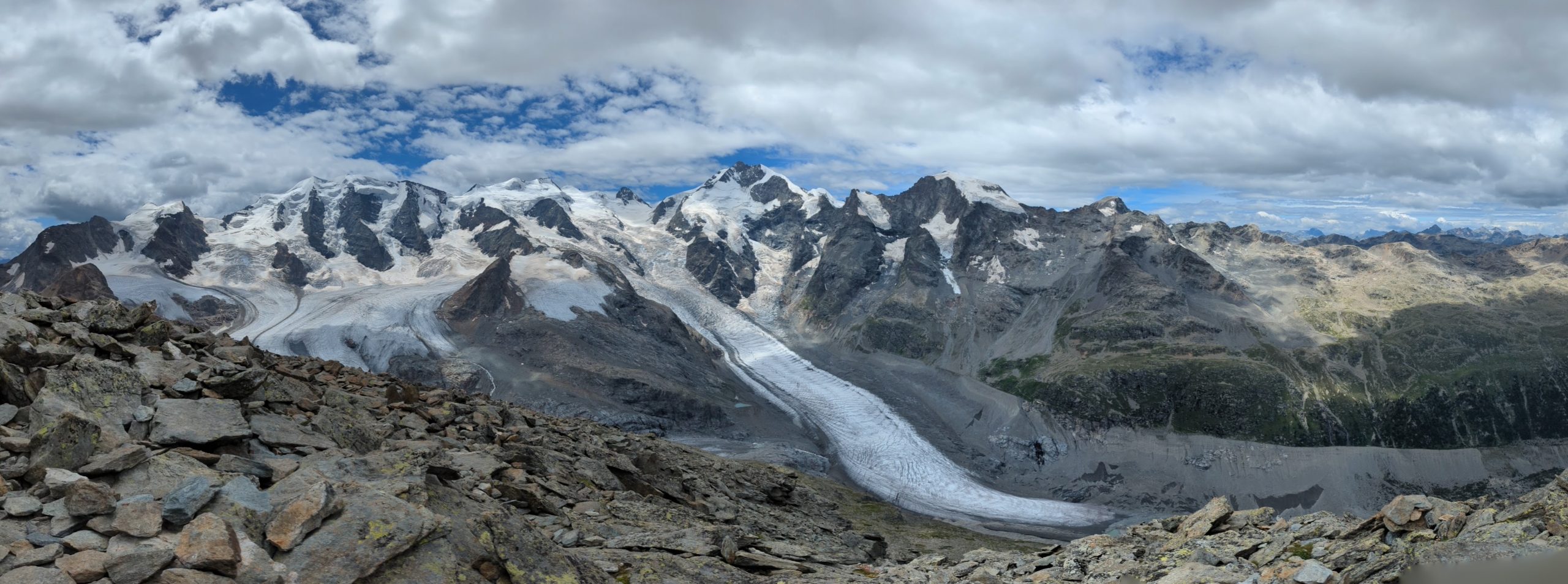
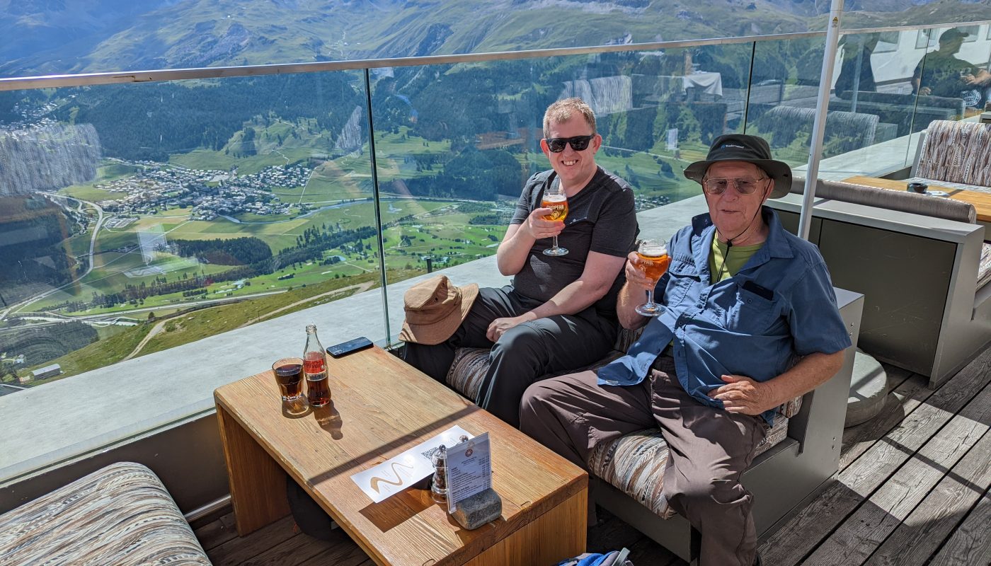
Mark and I took the train past Pontresina to Bernina Diavolezza station, with Piz Albris looming over it to the north-west.Our journey is in the other direction, climbing out of the valley on the cable car which lifts us from 2093m to 2972m in one The cable car station is at a col, and looking out away from the valley we’ve just climbed out of, a stunning vista of mountains and glaciers greets us. The Pers glacier fills much of the view, merging with the longer Morteratsch glacier as it disappears out of view on the right. Part of the skyline is the border with Italy, that running just behind the summit of Piz Bernina 4048m centre-right.Looking to the right, bits of our walking route can be seen climbing to the summit of Munt Pers.Most of the route was fairly easy walking, but there was a good deal of boulder-hopping to do too, and some steep drops in places. Mark ascends with the Pers glacier behind.Heading upInclining across the slope to reach the top of cliffs which turned us to the right to head towards the summit.The Pers (left) and Morteratsch (right) glaciers as we approach the summitThe view from the summit of Munt Pers (3206m)
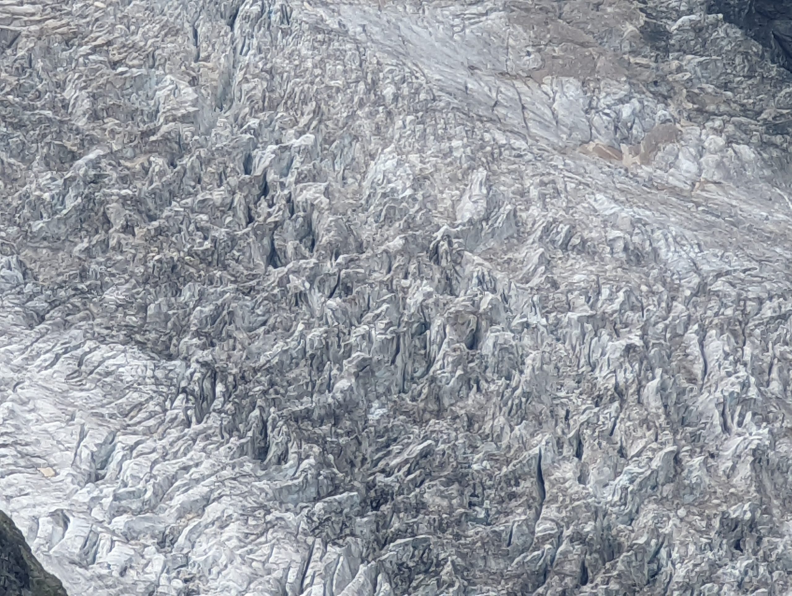
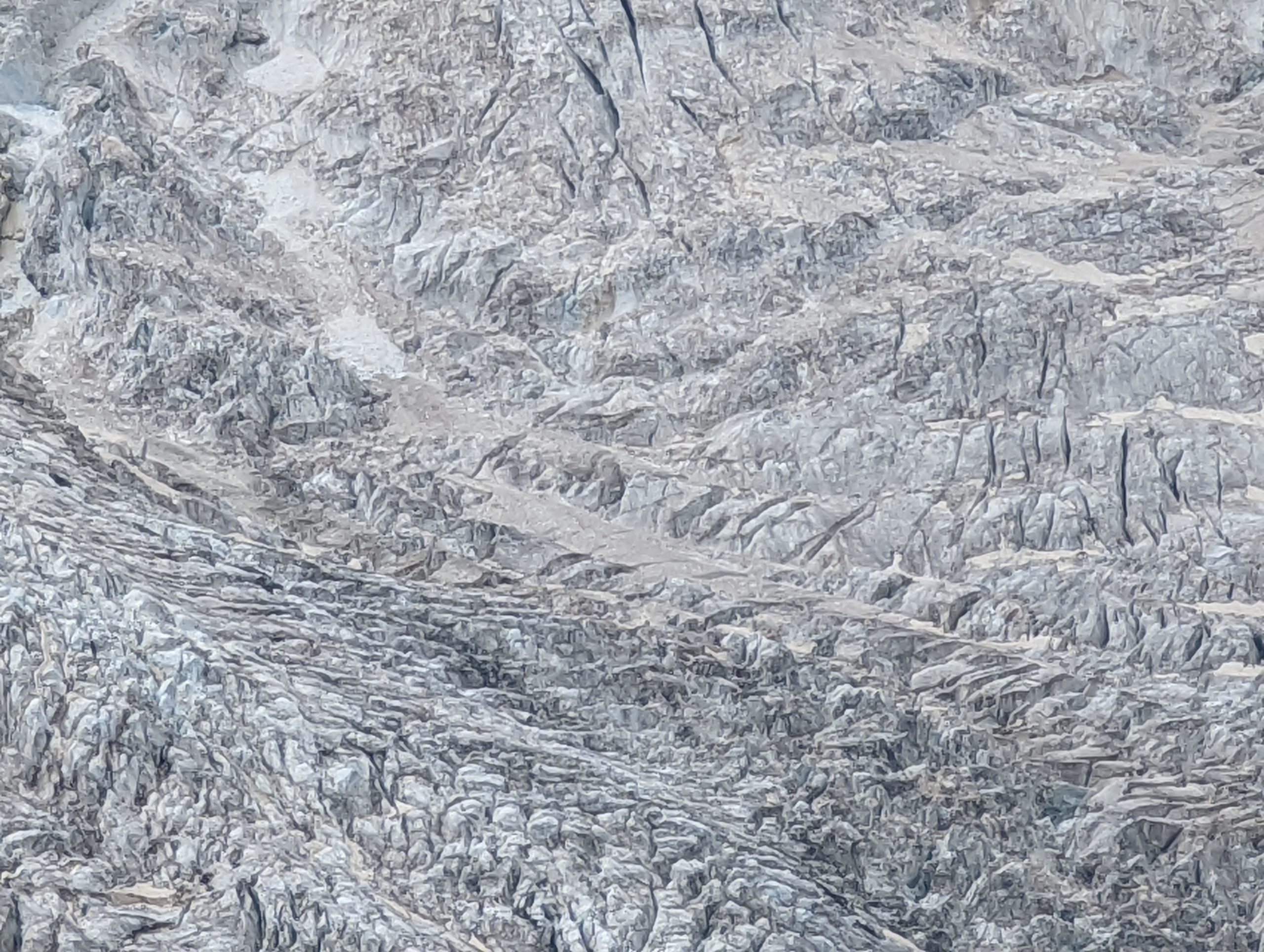
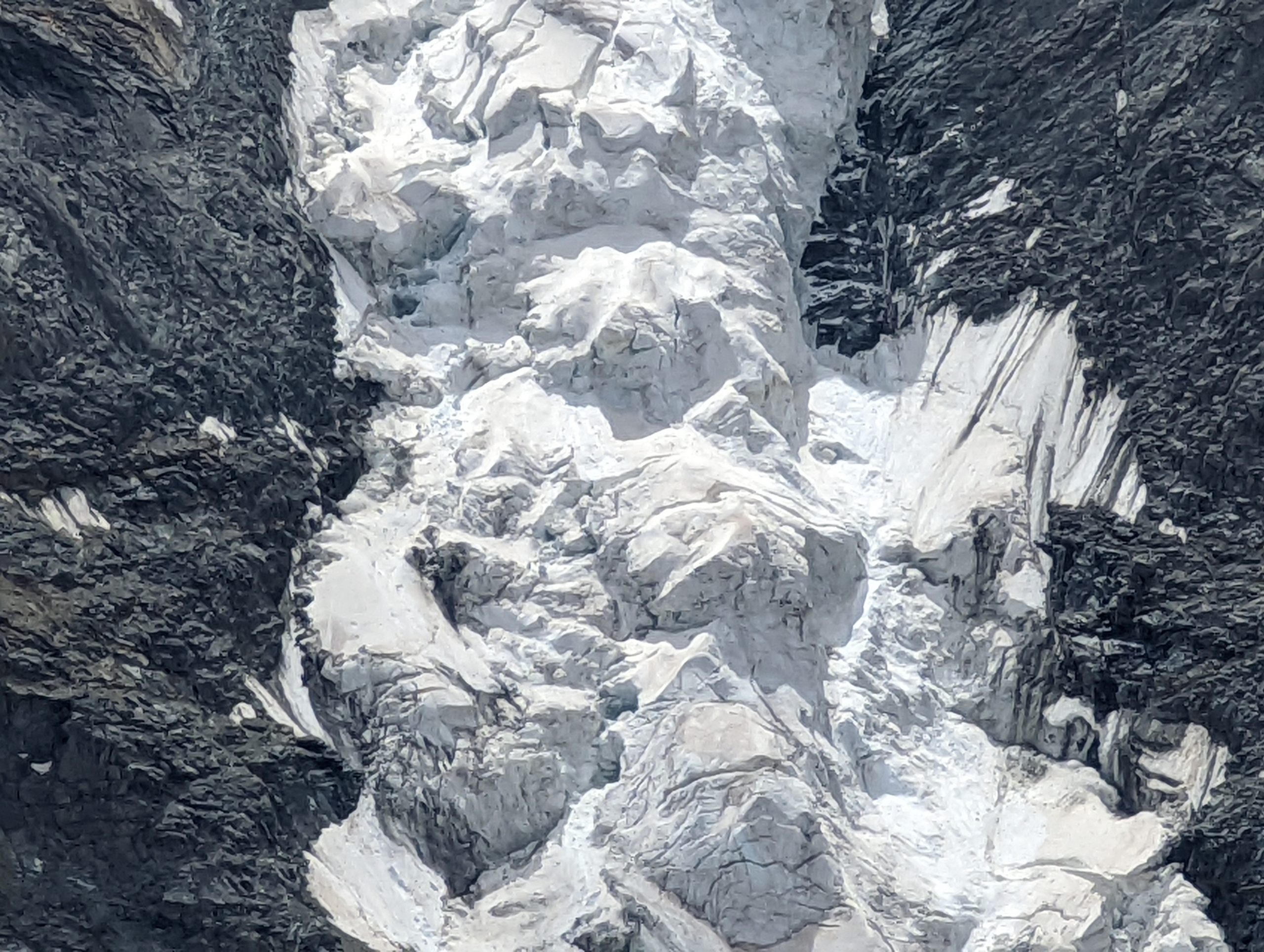
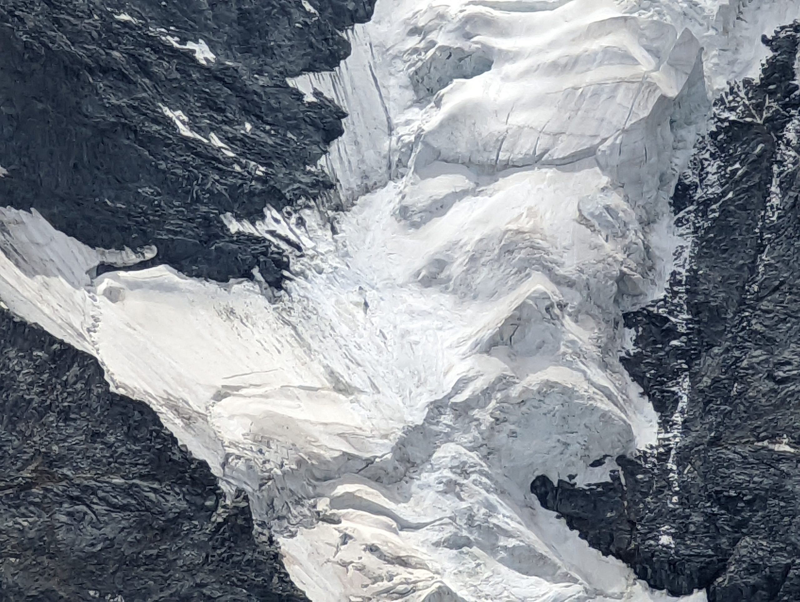
Some long zooms to the ice and rock of the glaciers below Piz Bernina
Friday – Lej Languard, Paradise, Lej Staz
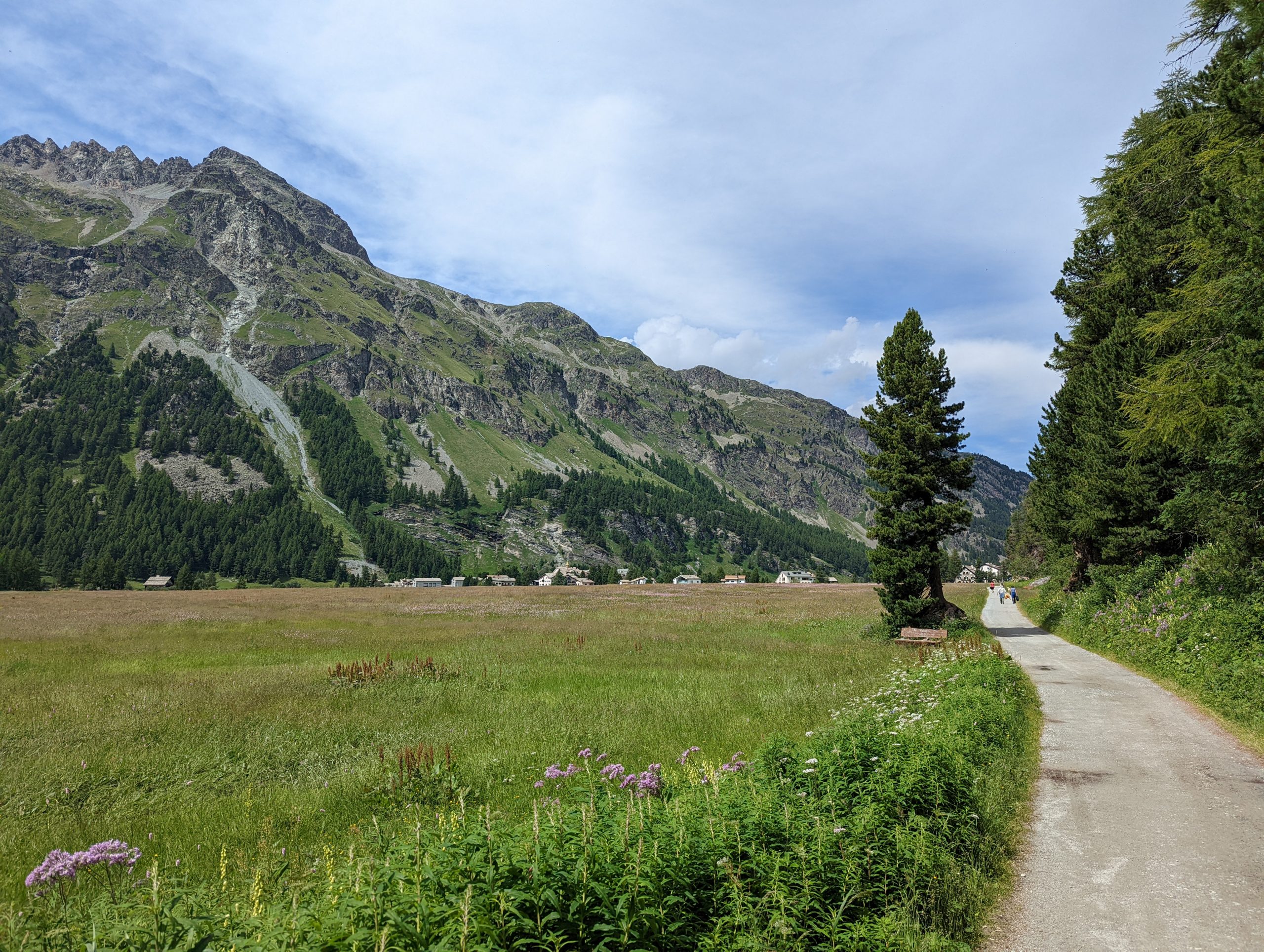
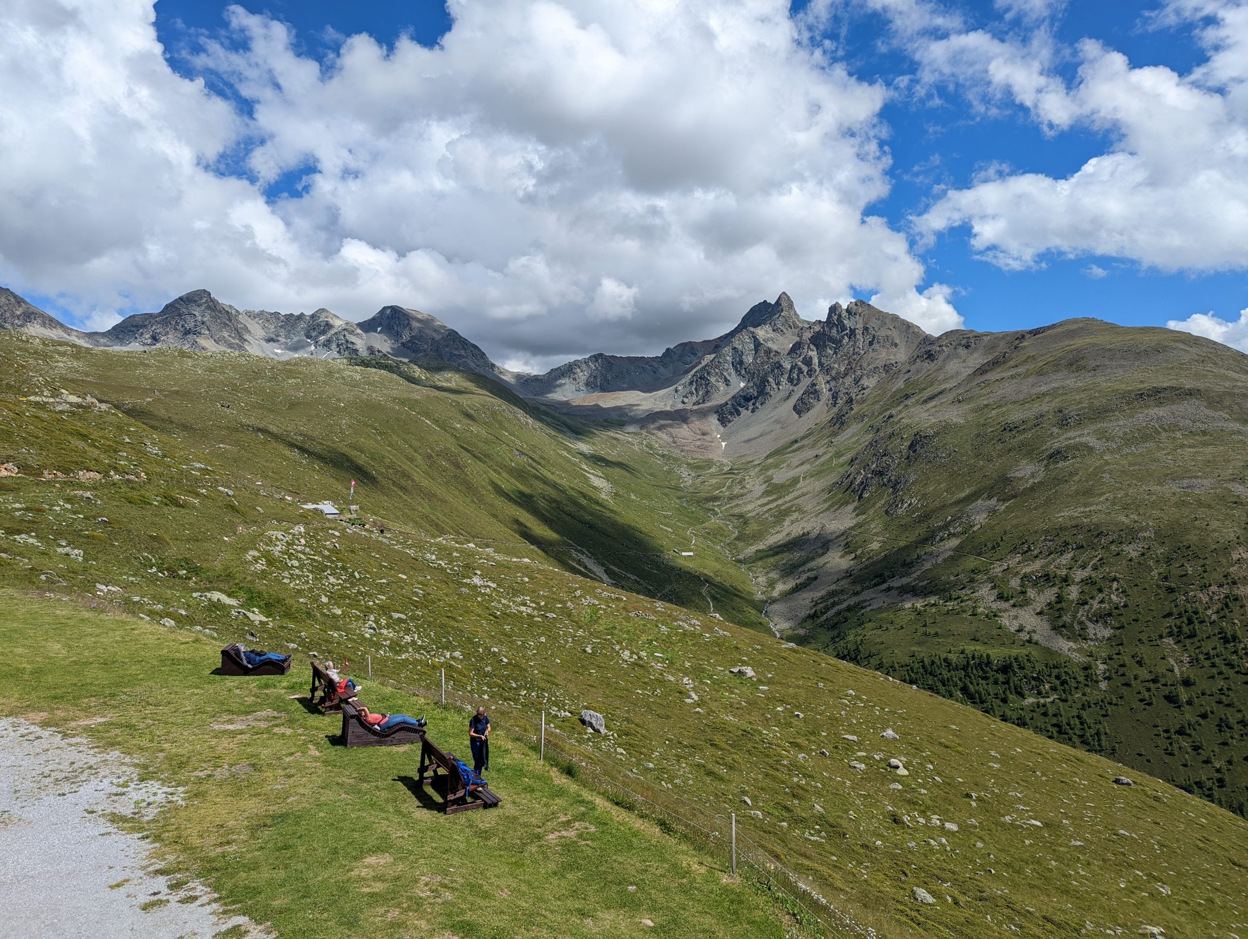
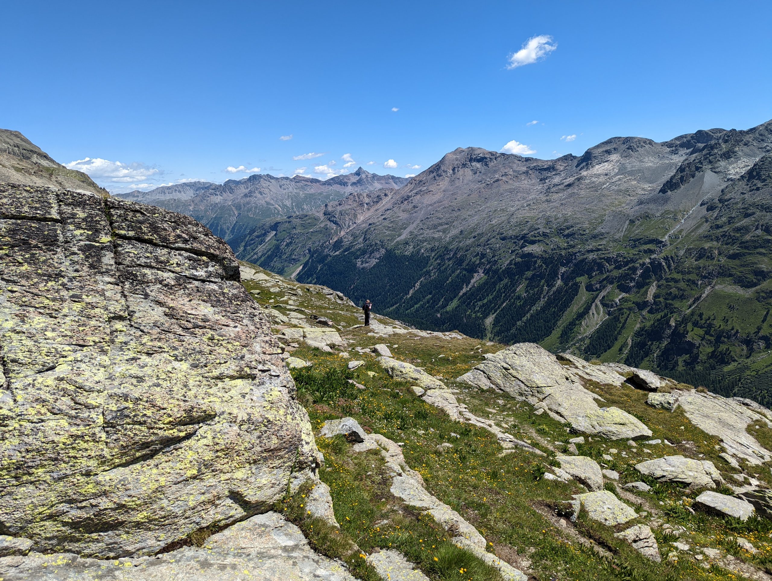
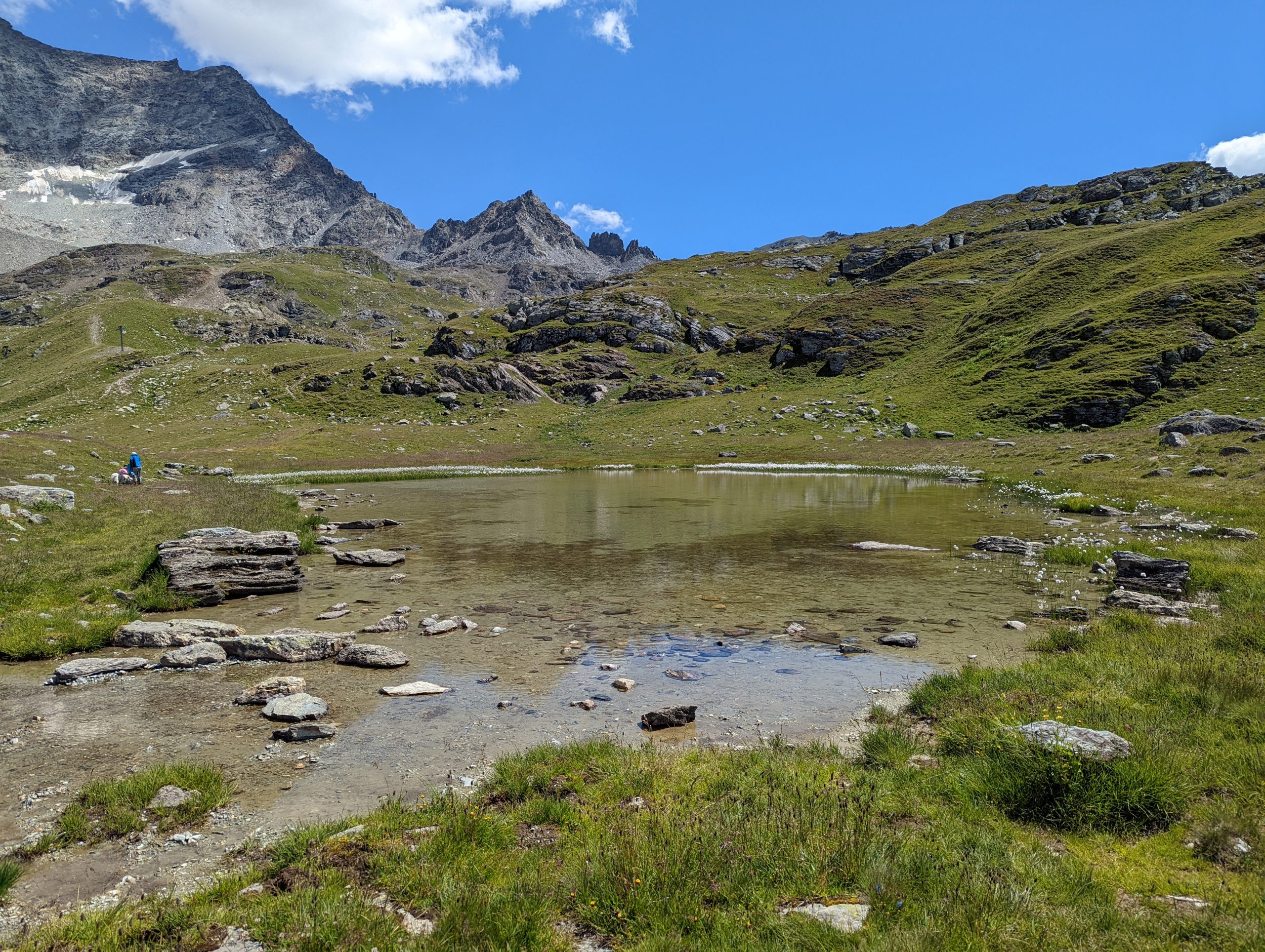
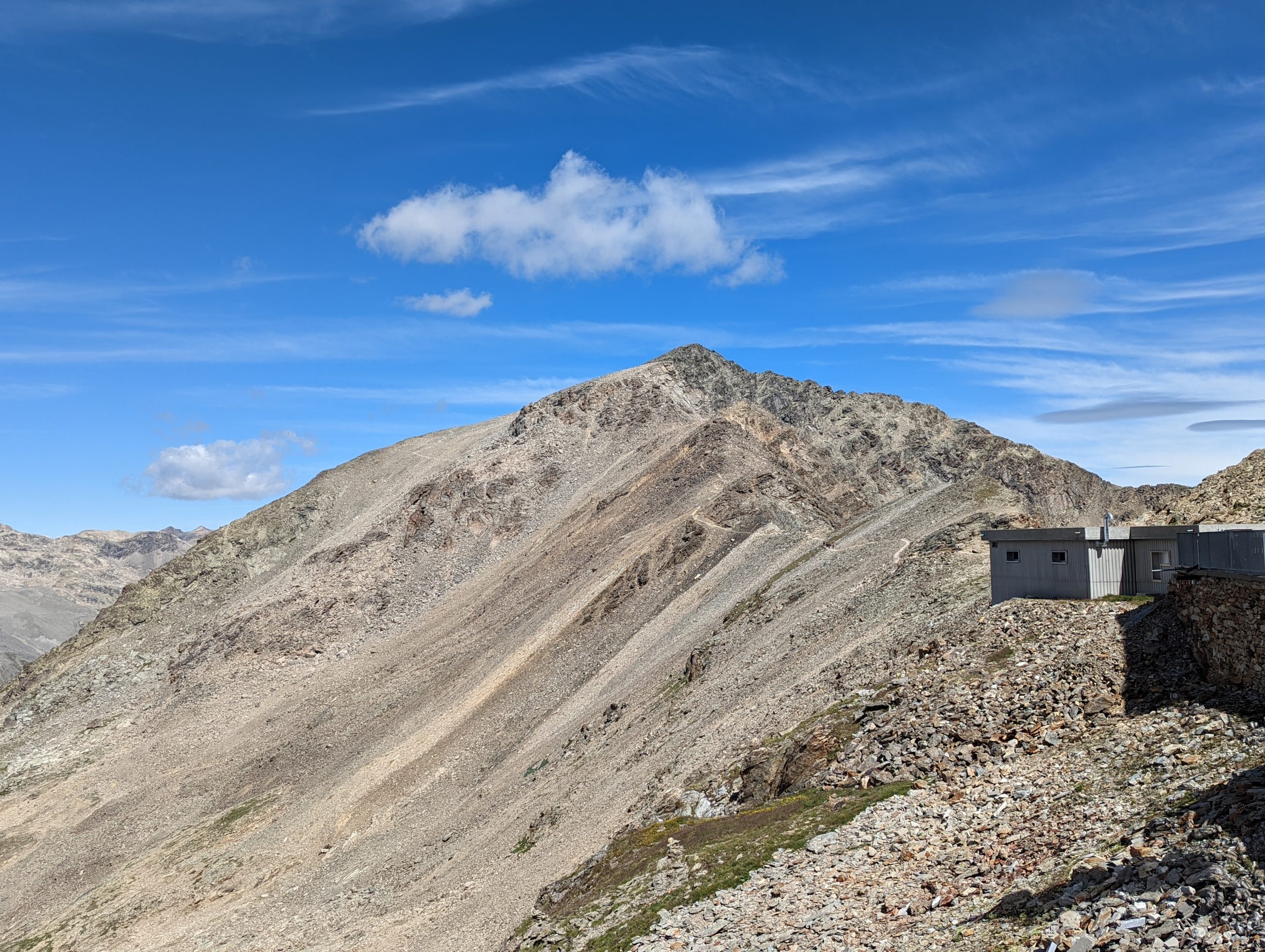
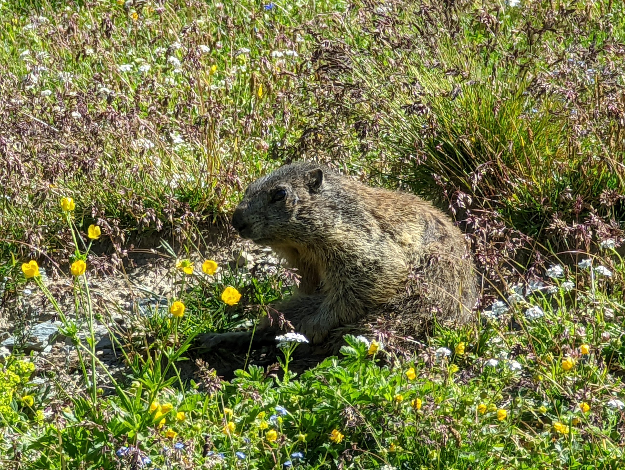
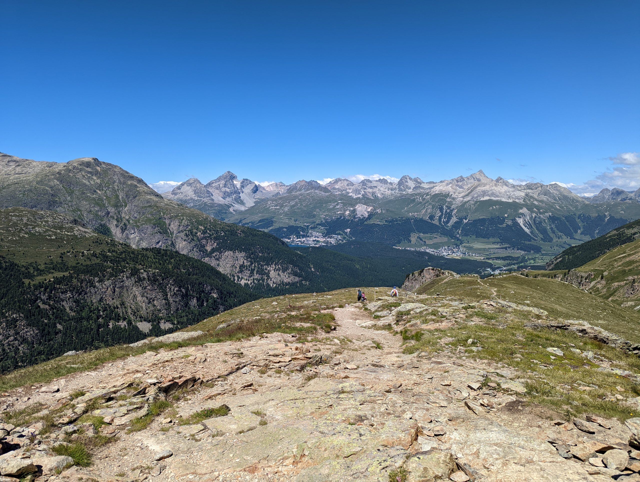
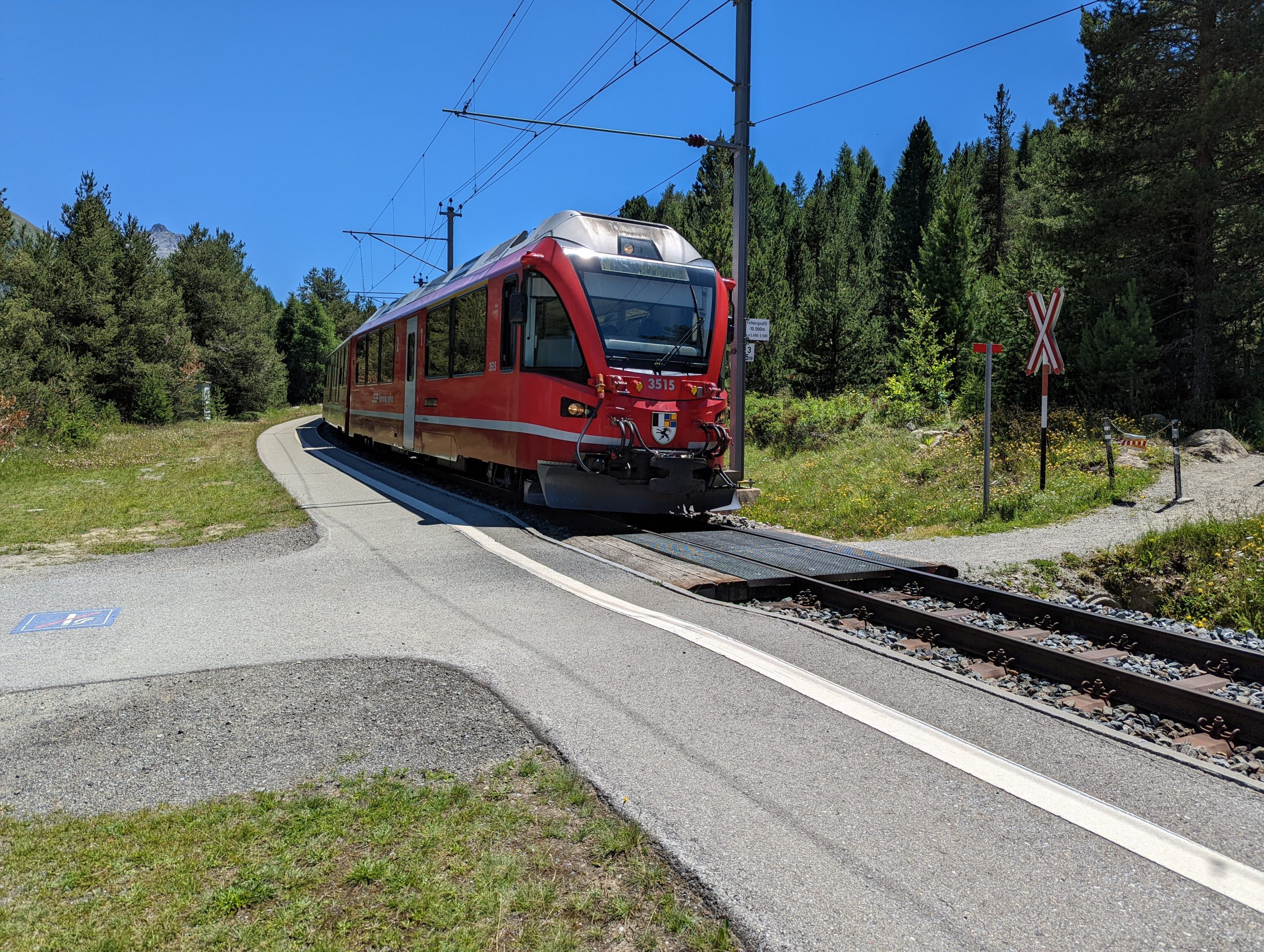
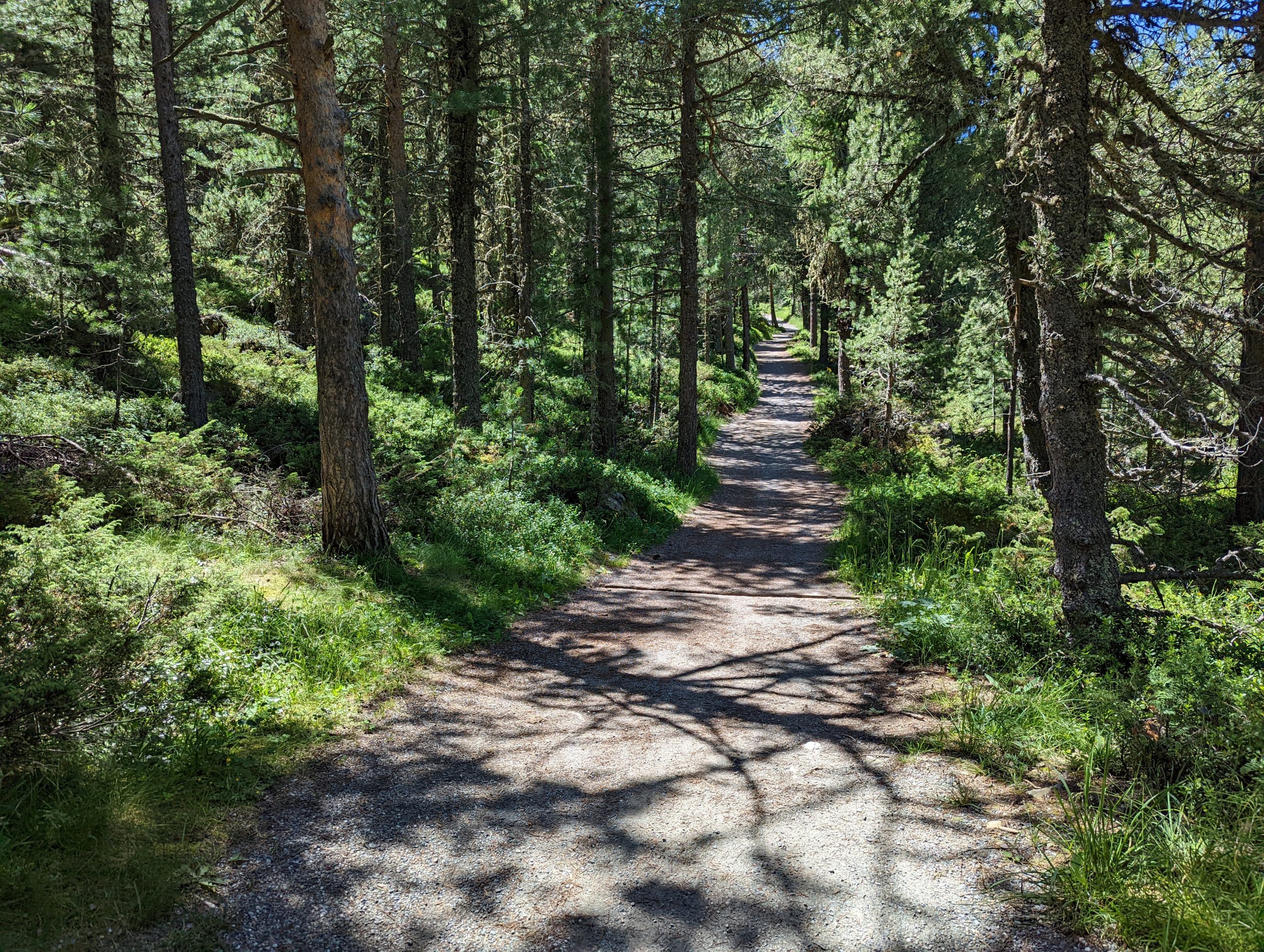
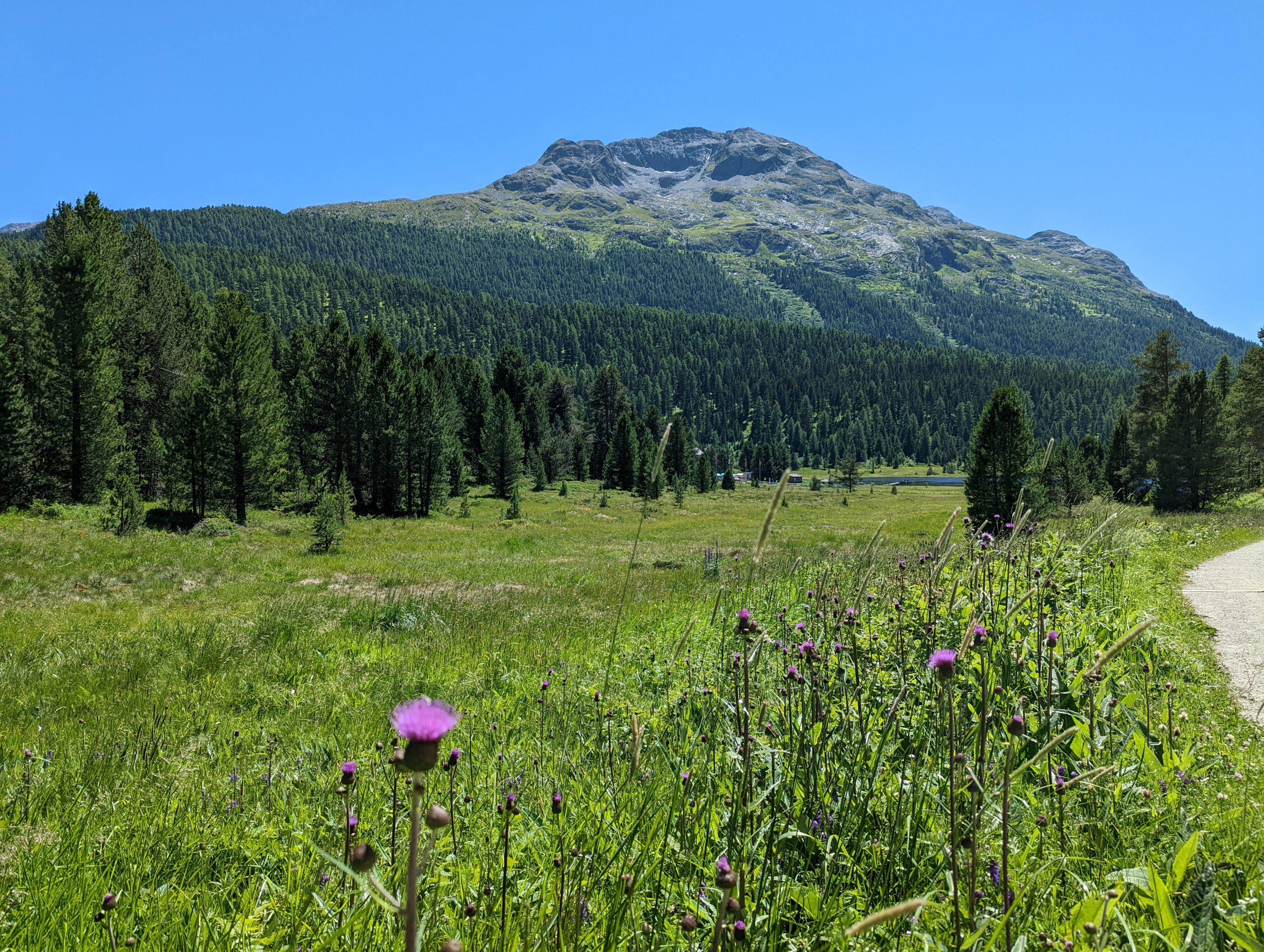
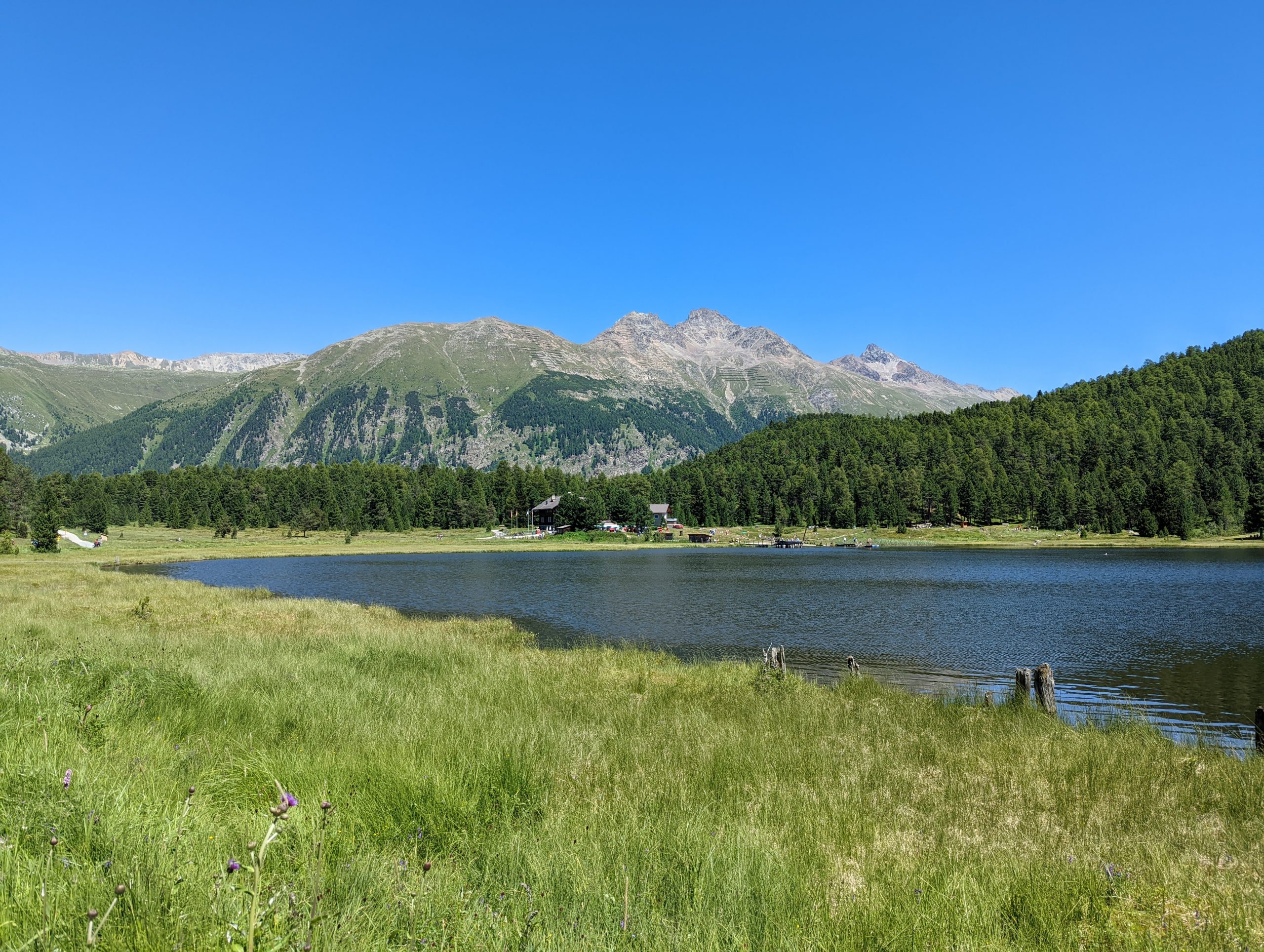
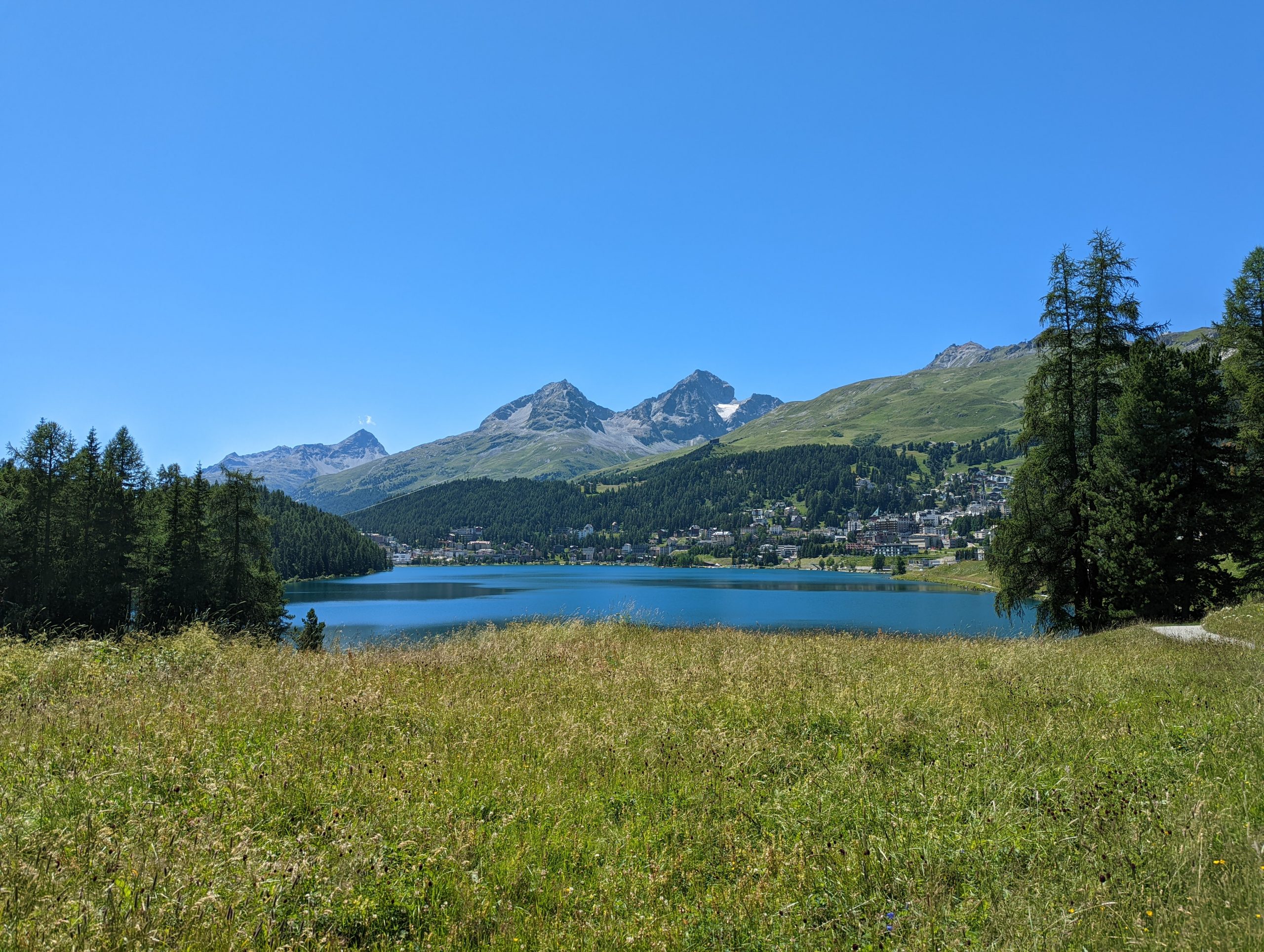
On Friday morning, Mark and I took the train to Pontresina station and then walked up through the town to the Sesselb Landguard chairlift station which was a rather chilly ride climbing from about 1860m to 2327m.As we start the walk, a look back past the chairlift station to Celerina (centre right) and St Mortiz (centre left)Cowbells always add character to a Swiss walkAs does a marmot – we saw several todayOur first objective was here, Lej Landguard at 2592m.We then retraced our steps for a little while before climbing up onto the Paradis ridge.Paradise HutThe view from Paradise. Pretty fair, I think. That’s the Morteratsch glacier we saw yesterday from Munt Pers on the left.And looking down the ridge, pointing almost straight at St MoritzBy the chairlift station, the cattle are resting. Time for us to do the same for a few minutes and have some lunch.Then it was down to the valley.We missed the hourly train from Pontresina by only a few minutes, so I suggested we walked the path which is gently downhill to the next stop at Punt Muragl Staz, mostly between the two railway lines, on different voltages, to St Moritz (left, 1000 V DC) and Samedan (right, 11 kV AC). A train from St Moritz passes us going up to Pontresina.The train from the Pontresina direction to St Moritz arrives at the minimalist station of Punt Muragl Staz. By the time it had arrived, I’d decided to continue on foot, over that little level crossing, so I waved Mark onto the train, and then set off into the forest.It was a very pleasant walk, gently uphill at first with dappled shade.Then increasingly open as I approached Lej da Staz (just visible centre right) Lej da StazI continued the walk, now gently downhill, from Lej da Staz to Lej da San Murezzan, or Lake St Moritz, with the town nestling on its northern side. Our week’s first summit of Piz Nair is visible on the right, with the higher Piz Güglia near the centre (and Signalbahn cable car station visible below that summit). The walk from Staz station back to the apartment was a pleasant and somehow appropriate way to begin to draw this lovely holiday towards its close.

 by
by