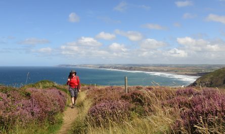
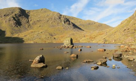
In which: I risk being accused of stalking ● it is another t-shirt day ● goats graze the cliff slopes ● the Valley of Rocks is found slightly disappointing ● there is more glorious cliff scenery ● I ponder noise pollution ● I reach the highest point on the Coast Path
Date: 12 April 2009
Time of walk: 0900 to 1615
Today’s walking: 22.1 km
Progress along SWCP: 21.3 km
Estimated ascent: 1350 metres
After a decent breakfast, I set off a few steps behind another couple who’d put on their walking boots at the same time as me. They may have thought I was stalking them when I went into the same shop as them, and stopped to fiddle with my rucksack when they stopped, then continued to follow them. I was glad when they continued down to Lynmouth while I began the South West Coast Path today along the route signposted intriguingly to the Valley of the Rocks.
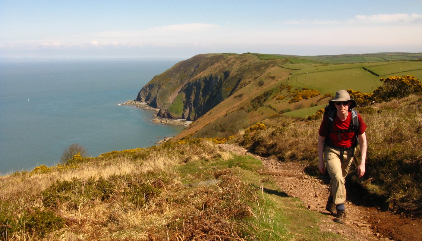
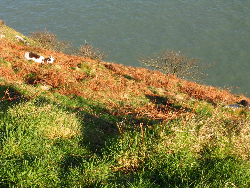
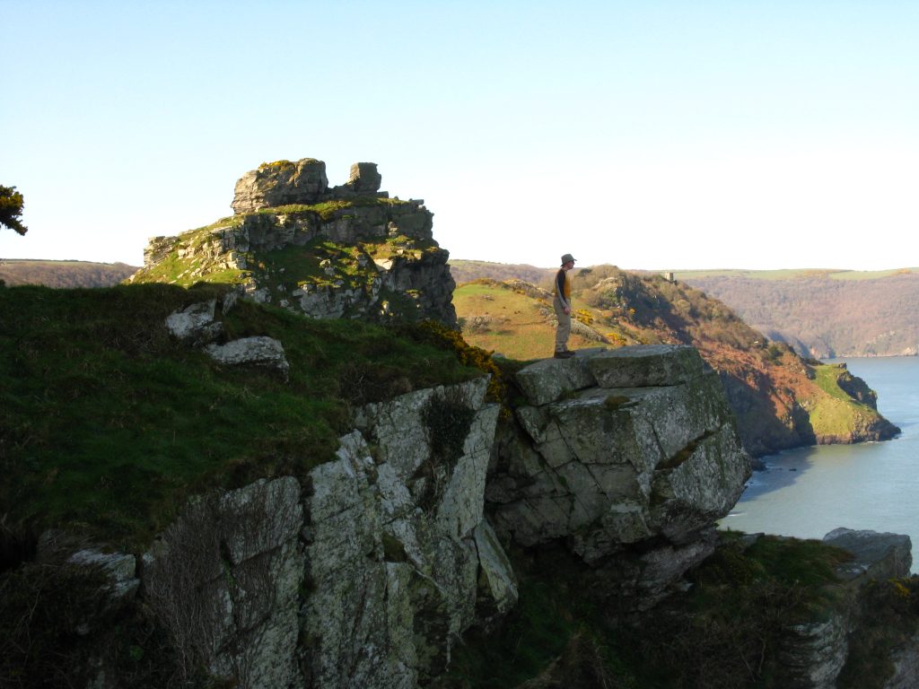
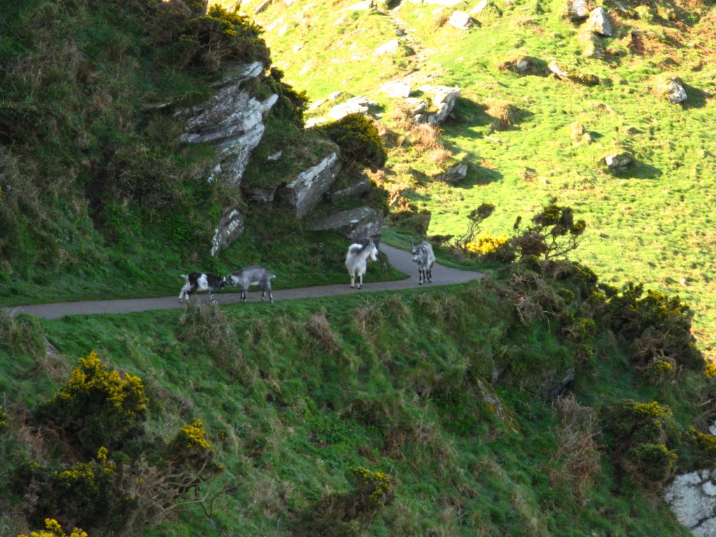
This was obviously a route that would be popular were it not so early in the morning, as the properly rural coast path as it clung to the cliff edge was tarmacked. I passed goats grazing on the steep slope, and later a group of four, two of them fighting. The Castle Rock was quite attractive, but otherwise I was rather uninspired by the Valley of the Rocks which seems to owe much to marketing.
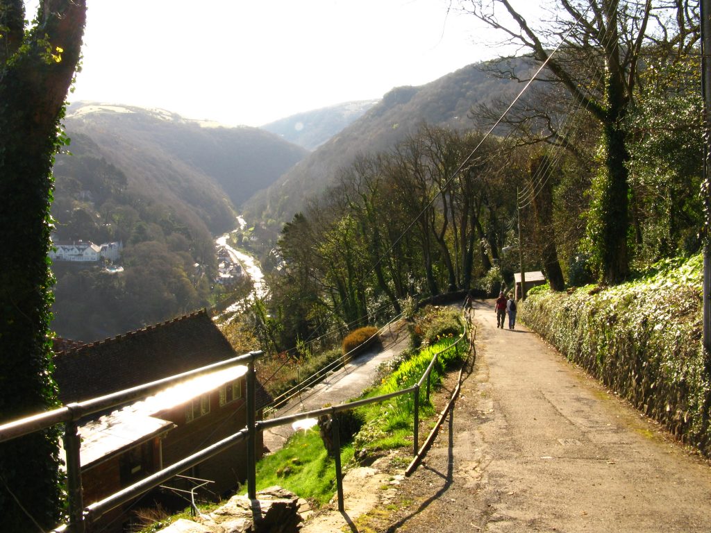
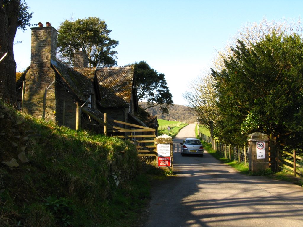
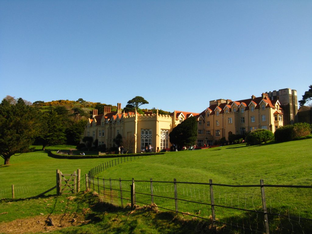
From here the route of the Coast Path follows a quiet road which becomes another toll road, past the Christian conference centre at Lee Abbey. As I descended the hill, loud amplified music was being played, and I couldn’t quite decide whether to be annoyed at the sound pollution of the countryside on such a lovely sunny day or to enjoy the wonderful soulful echoes.
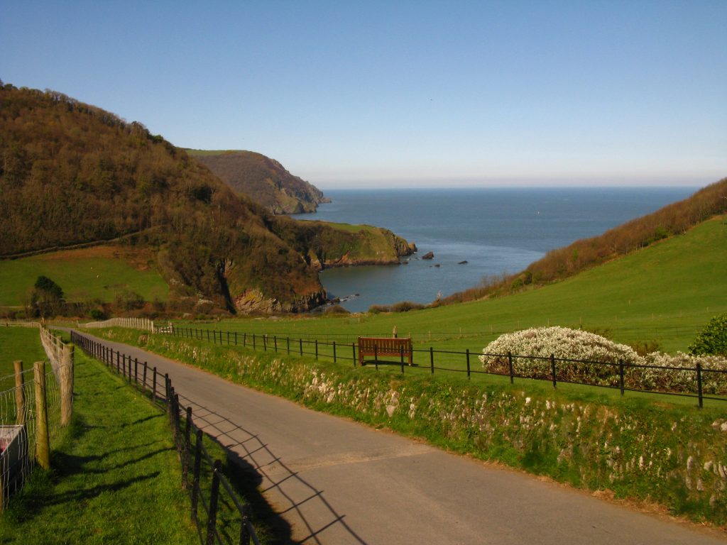
Above Lee Bay there is an alternative route of the Coast Path to Crock Point. Although there was a brief moment when I could get a nice photo of Woody Bay, on the whole it wasn’t really a worthwhile diversion as it was largely a walk around field margins, with a huge thick hedge shutting off all views of the sea.
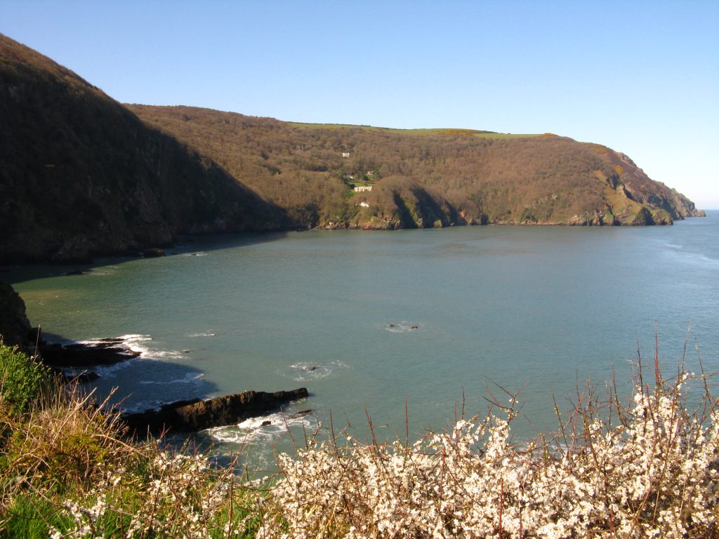
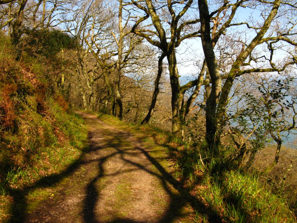
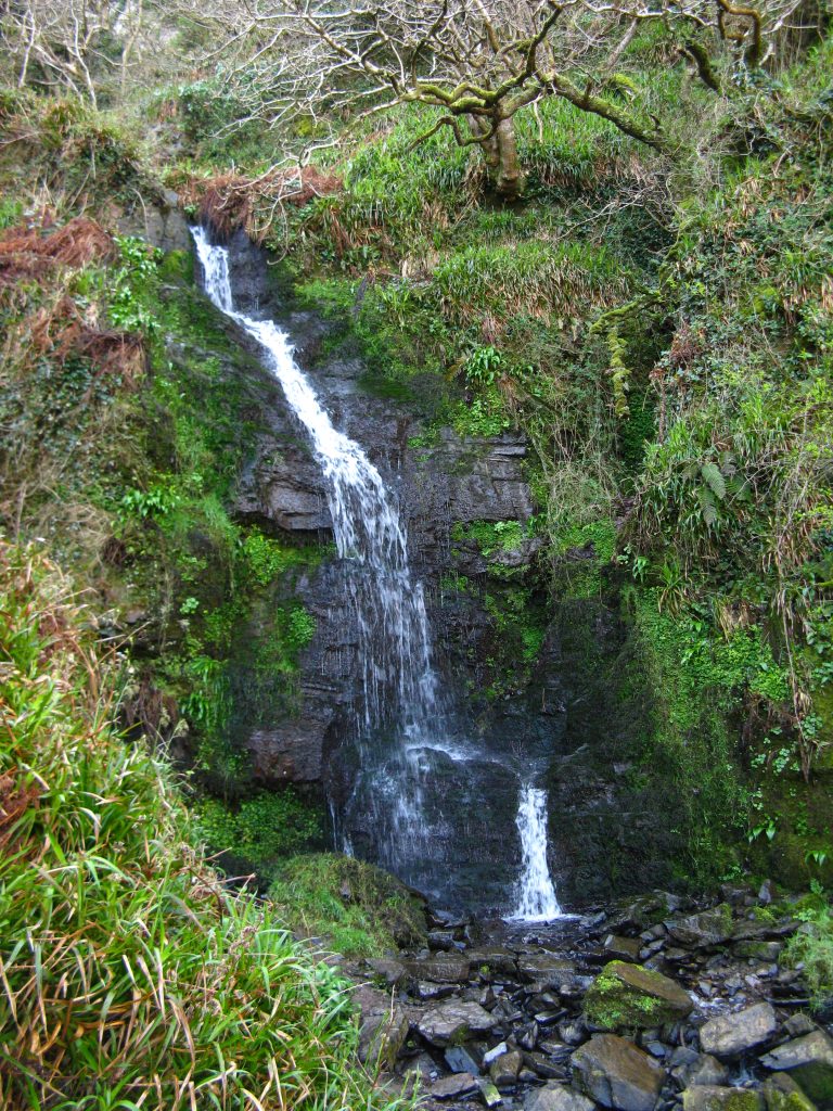
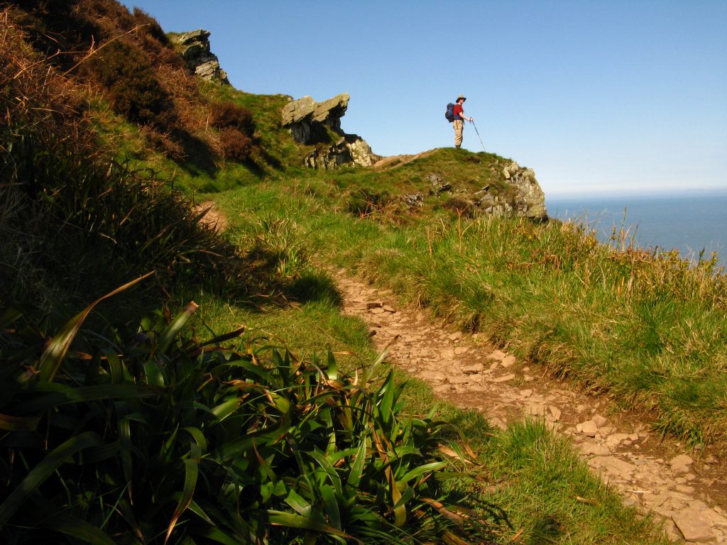
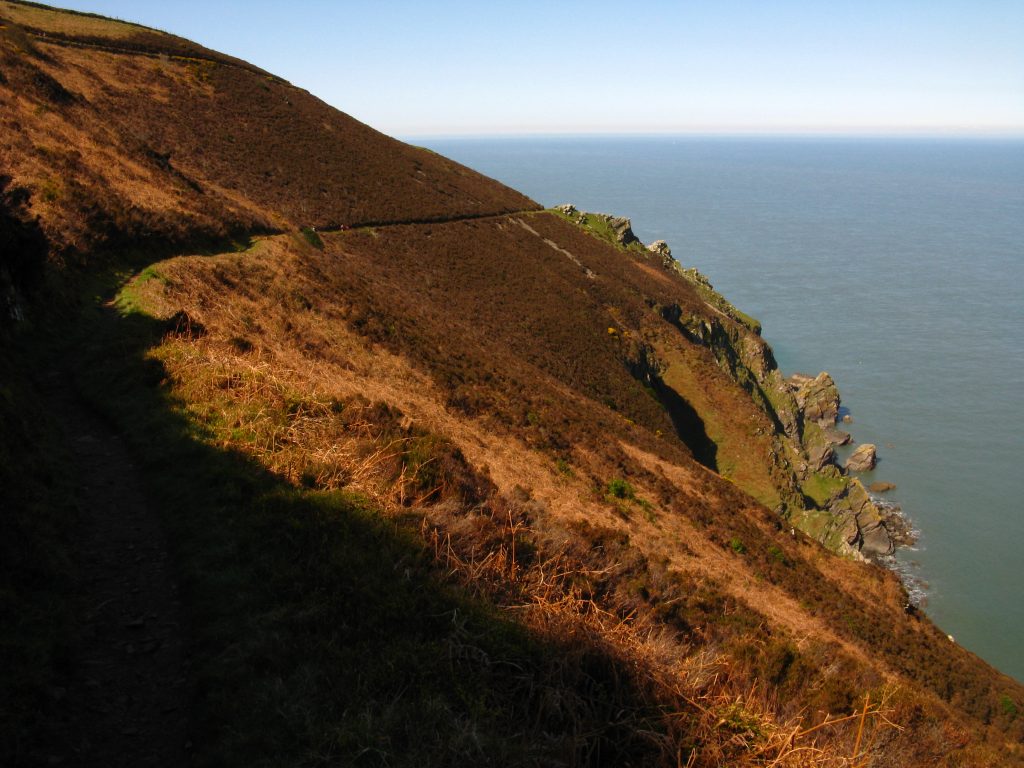
I stopped for lunch above Highveer Point, looking across the 500 metres or so to Peter Rock, but to reach which a long descent into and ascent out of the valley of Heddon’s Mouth was called for. The path around here was busy on a glorious Easter Sunday, some heading for the beach at Heddon’s Mouth and others for Hunter’s Inn. I lay back in the sunshine and just soaked up the atmosphere for a little while, before heading downhill to the river.
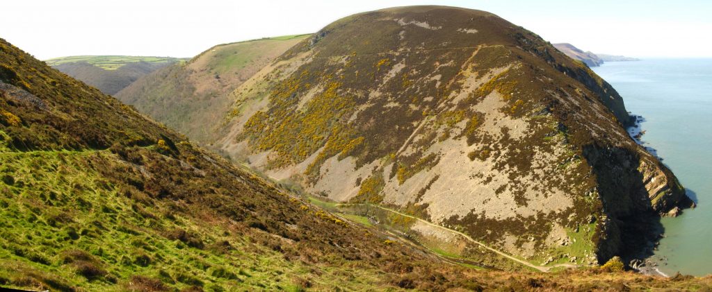
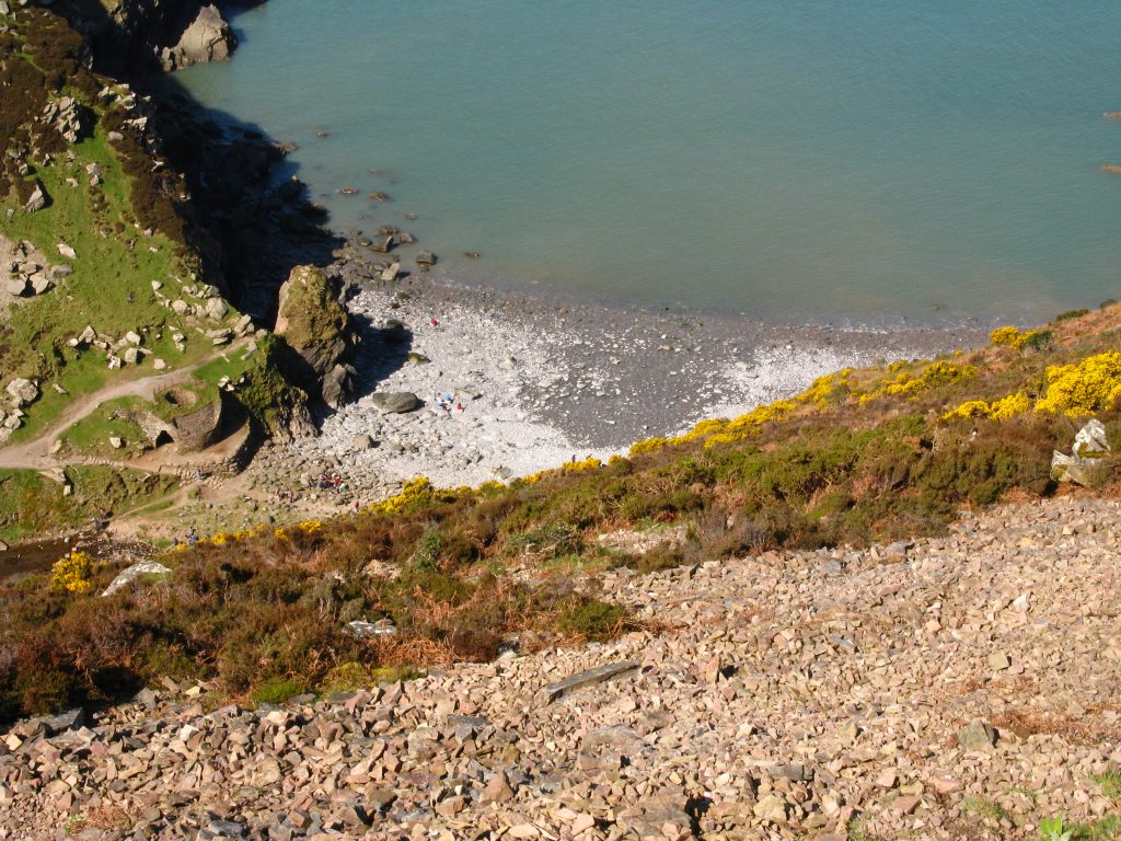
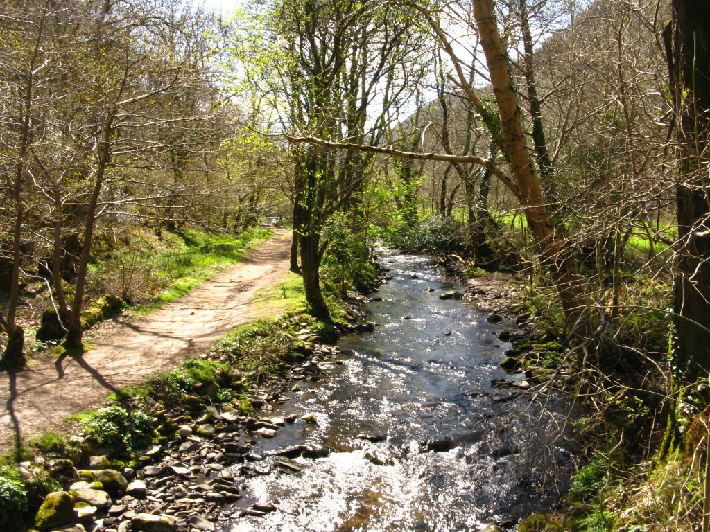
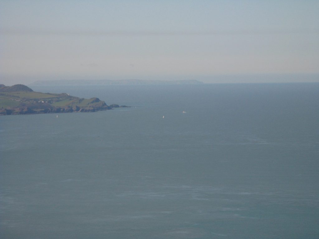
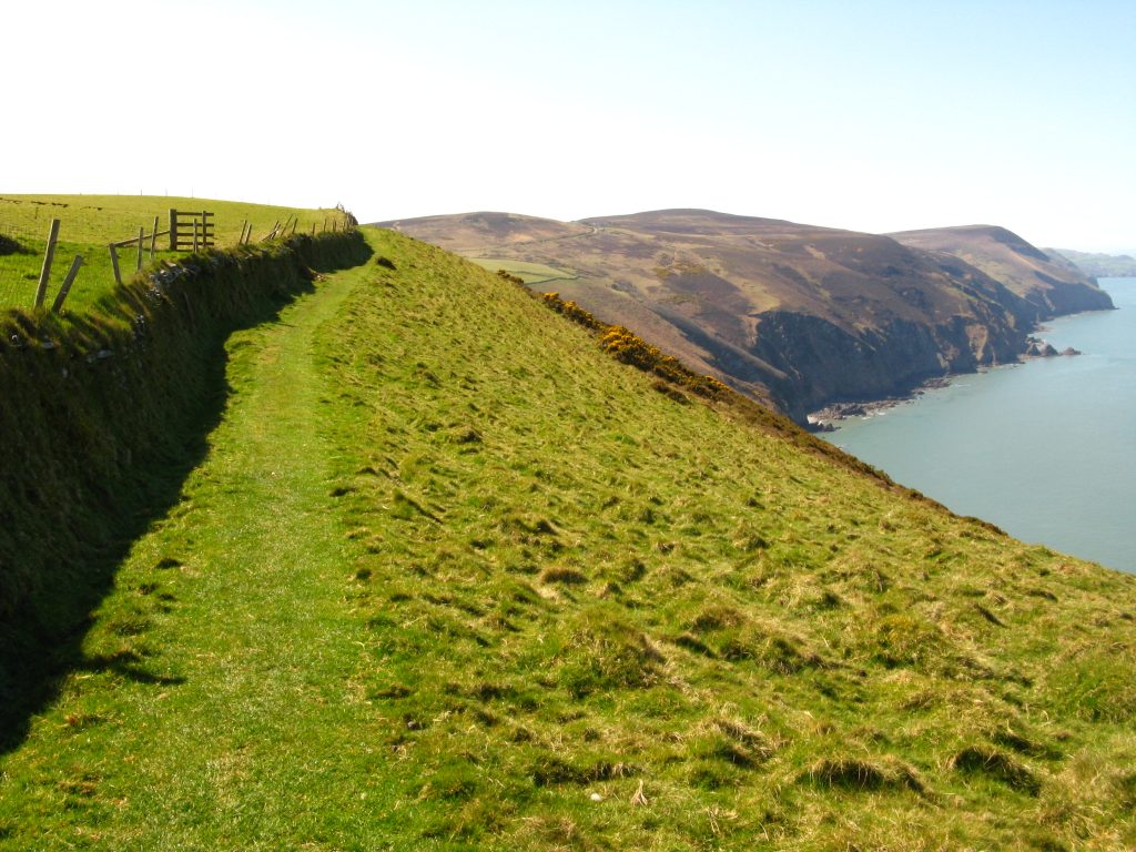
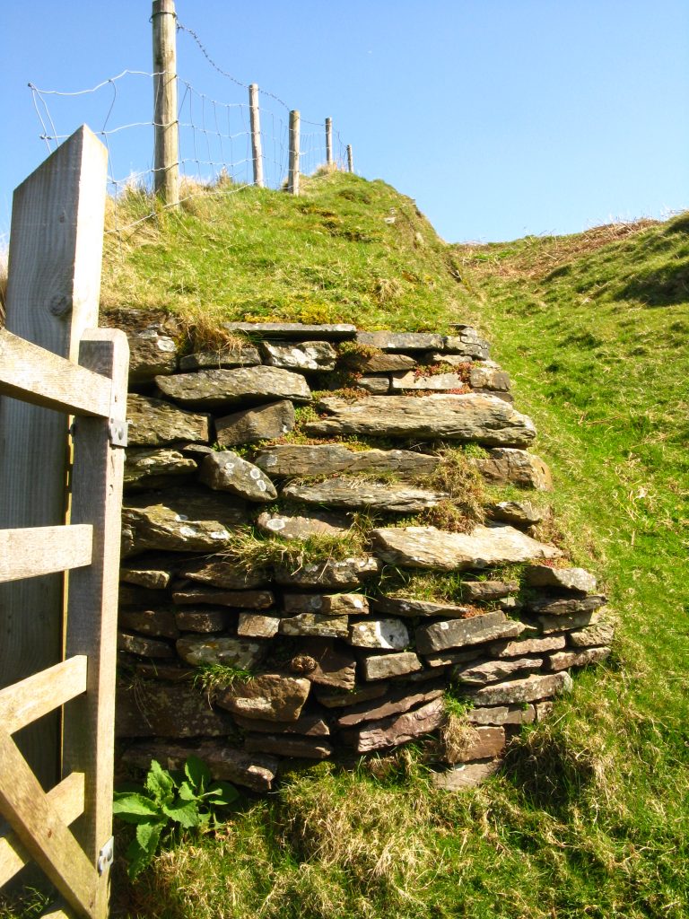
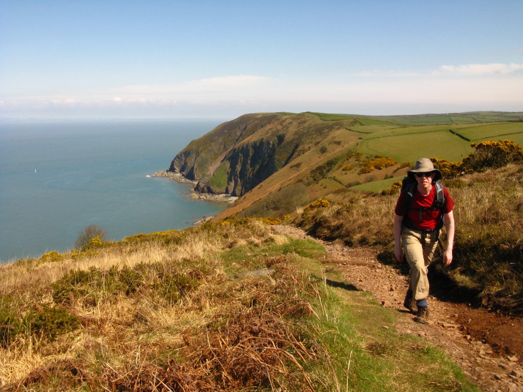
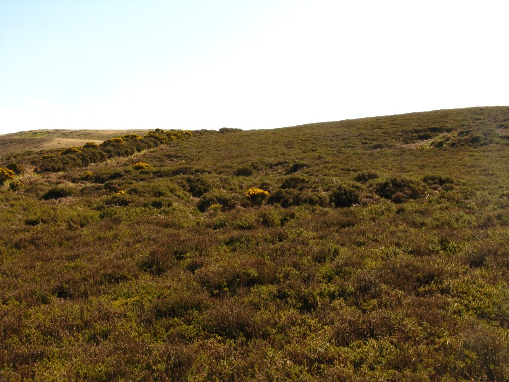
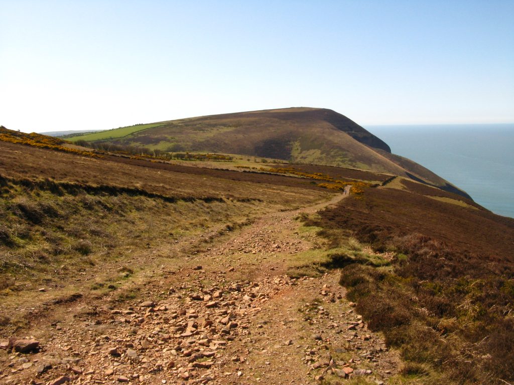
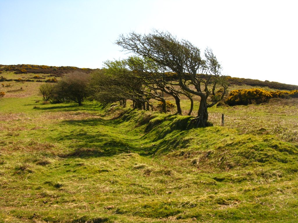
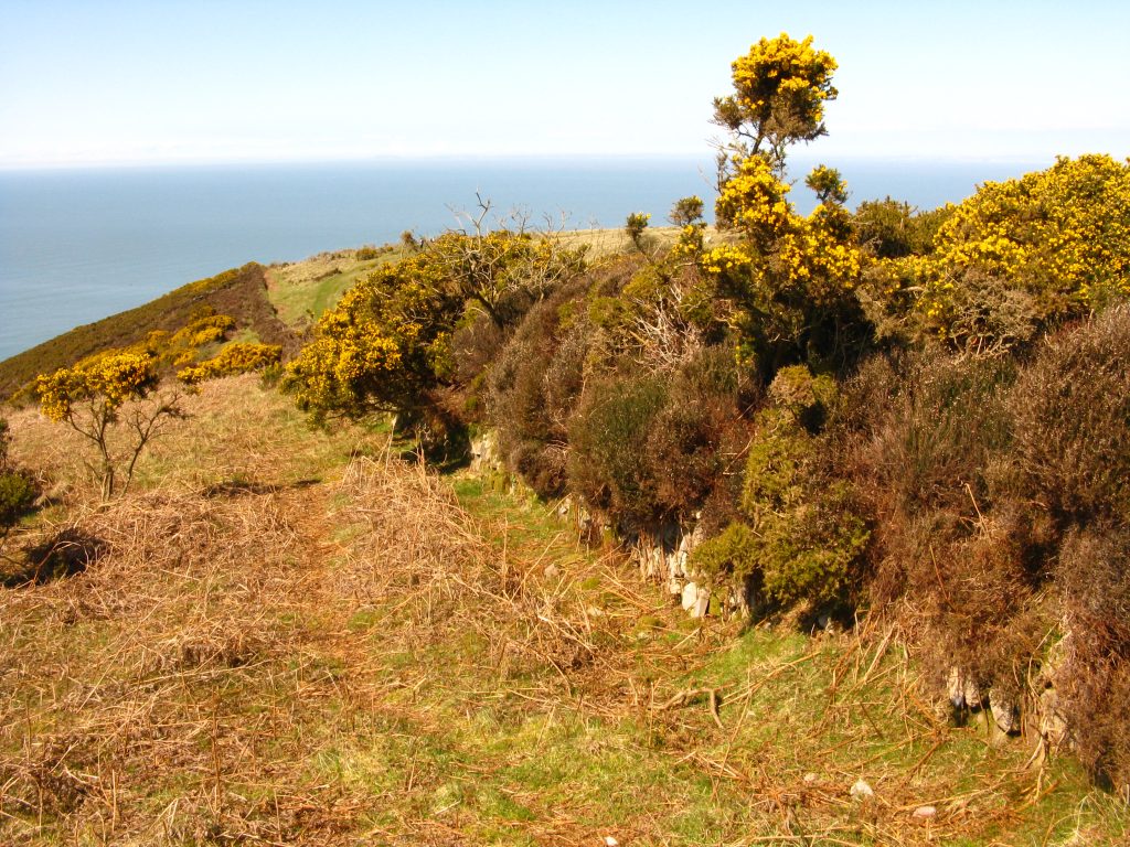
The feeling of height to gain to reach the summit of Great Hangman, towards the end of a long walk, is emphasised by the steep descent first into Sherrycombe. Part way down I stopped to gain energy and remove grit from my boots. I was passed by a couple who’d first passed me before Heddon’s Mouth. At the bottom of this hill, I passed them again, paddling in the stream, which looked very inviting but I didn’t want to invade their space. A steep ascent soon brought me onto Great Hangman where I stopped again for the view, setting off again just as that same couple approached again.
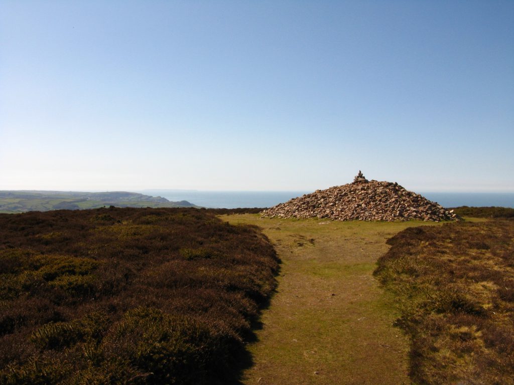
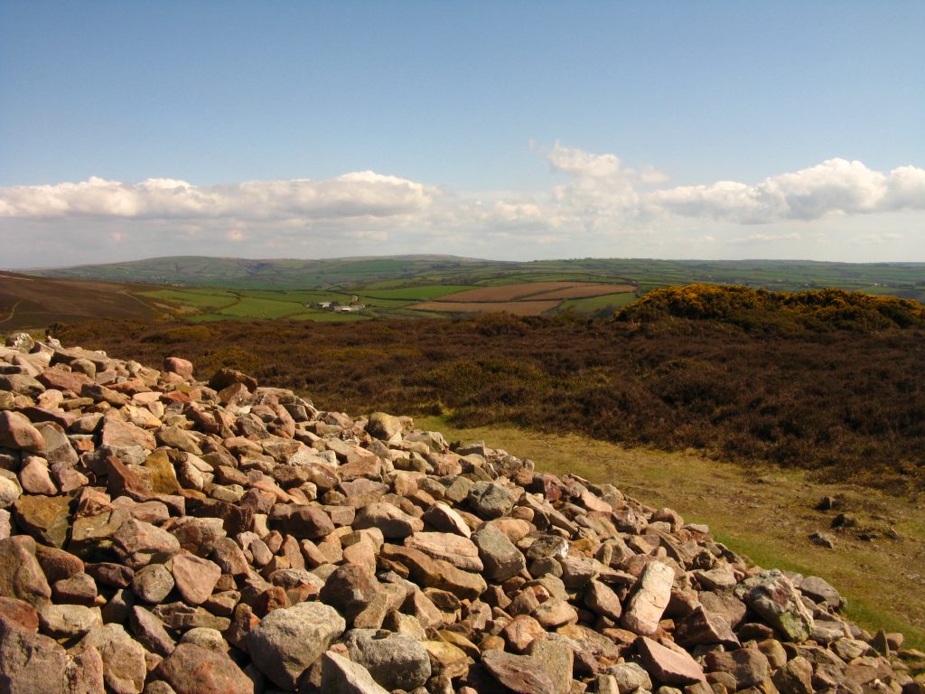
The path skirted Little Hangman, and although the summit looked inviting, my right knee by now was giving me quite a bit of discomfort, so I continued along the route, admiring the impressive views of Wild Pear Beach from Lester Cliff, then a narrow enclosed descent into Combe Martin, with lots of holidaymakers on the beach.
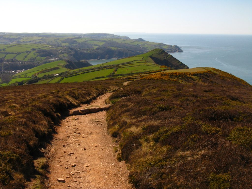
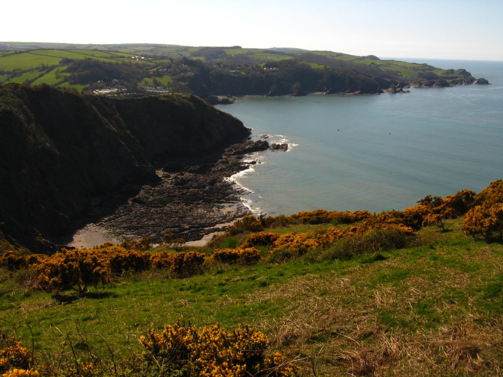

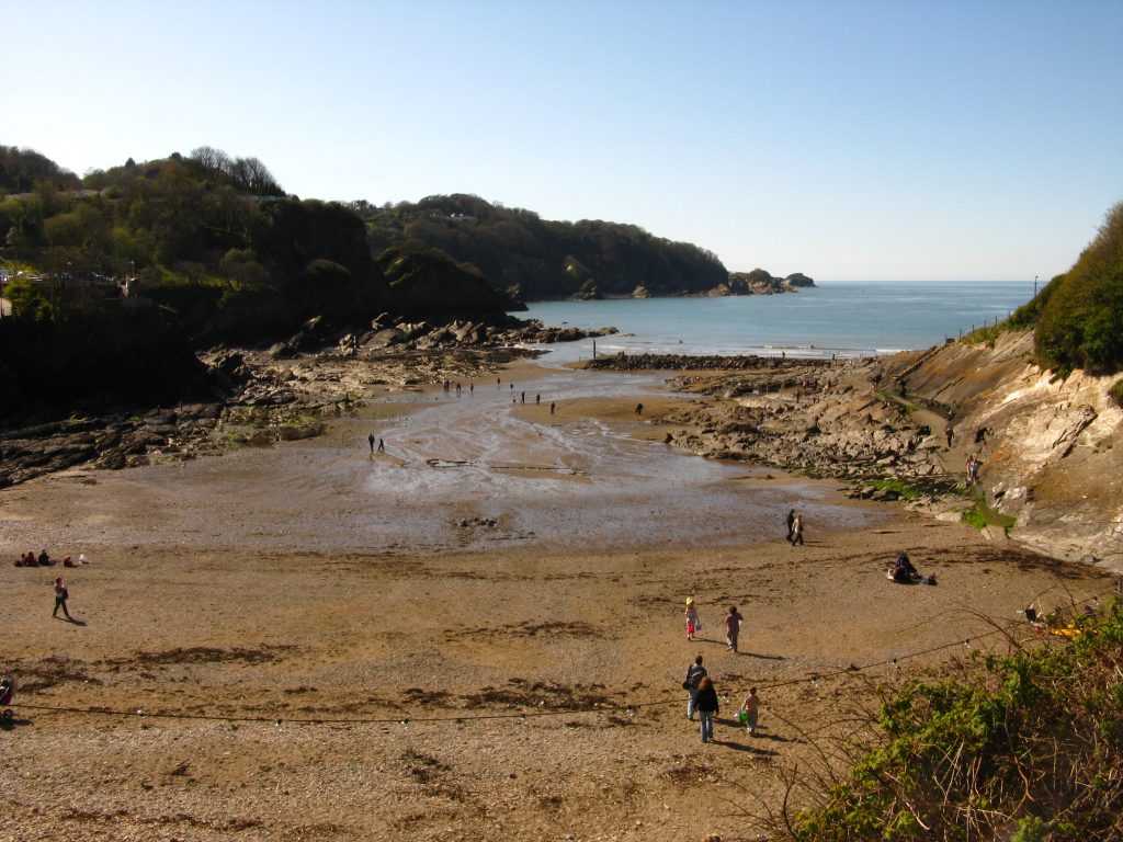
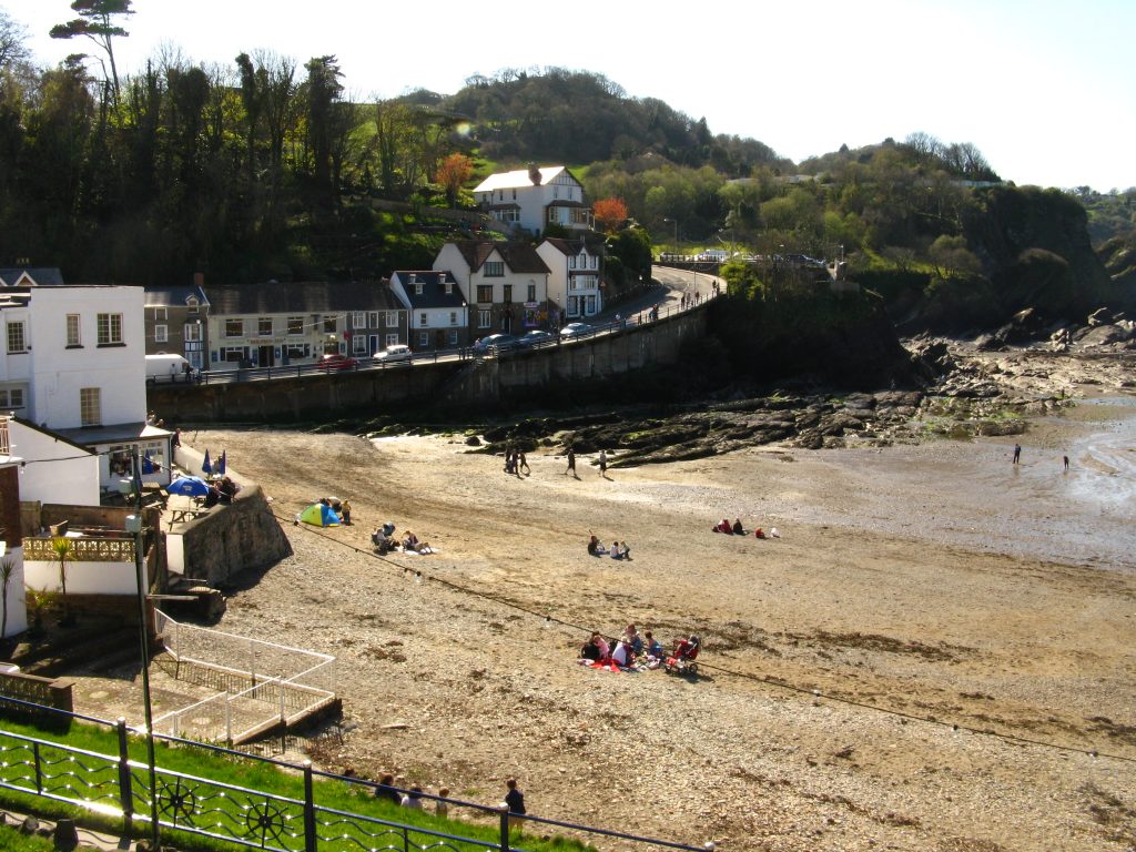
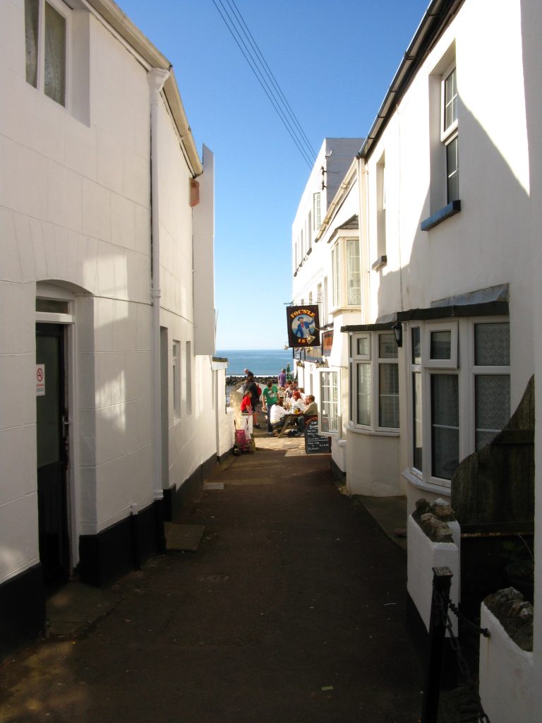
The directions to the B&B were a bit confusing as they said it was on the Coast Path and the A339, but having reached the point that the two diverge, I phoned, and found that I needed to go further along the main road.
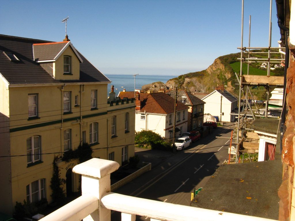
The guesthouse was pleasant, with another sea view from my bedroom to add to my collection. I went out and explored Combe Martin. I ate an ice cream and then had fish and chips on the beach. I returned to the guesthouse where I spent much of the evening taking advantage of their wifi connection to start the write-up of this walk.
