In which: I return to Polperro’s narrow streets ● an island is indecisively named ● a seal is remembered ● gorse and bluebells brighten my day ● I dodge golf balls but no firing
Date: 14 April 2017 Time of walk: 0935 to 1640 Today’s walking: 24.8 km Progress along SWCP: 24.5 km Estimated ascent: 980 metres
So after a two-year gap, I’ve returned to walk a bit more of the Coast Path. Most of my visits have been using luggage transfer services, staying in a guest-house for a night, and having someone move my bag further along the Path while I’m walking for a few hours. I did a few days during a week’s holiday with Lucy and the dogs, a formula I hope to return to one day. But this year I’ve rented myself a little apartment in Plymouth, and am doing four days walking, two either side of Plymouth, making use of a combination of my car, buses, ferries and taxis. It requires a little more planning, but does have the ease of a central base to return to, a place that’s home where I can make packed lunches and keep stuff in the fridge, where I don’t have the hassle of finding something appropriate to eat out every night when I really just want something light. And I could bring a little more stuff with me in the car, more easily than on the train.
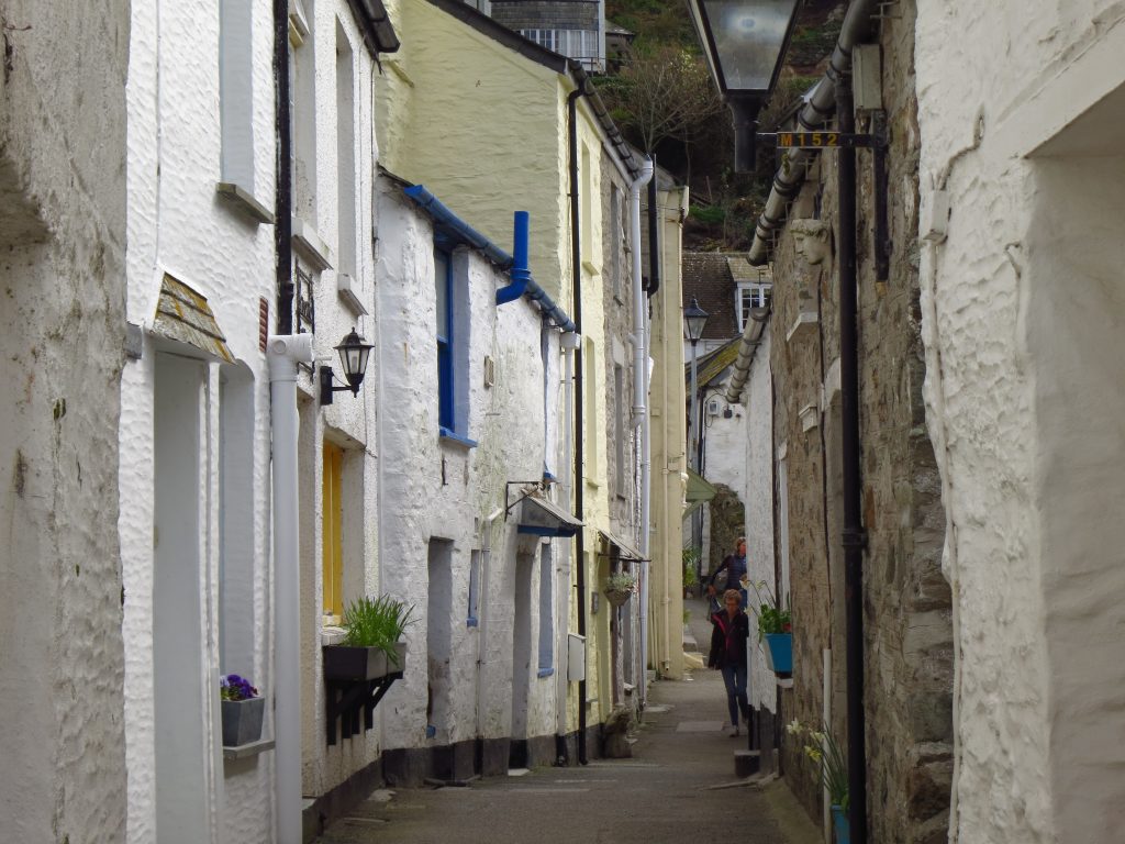
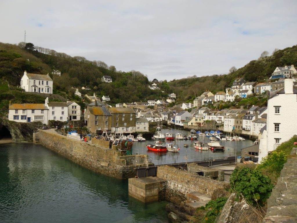
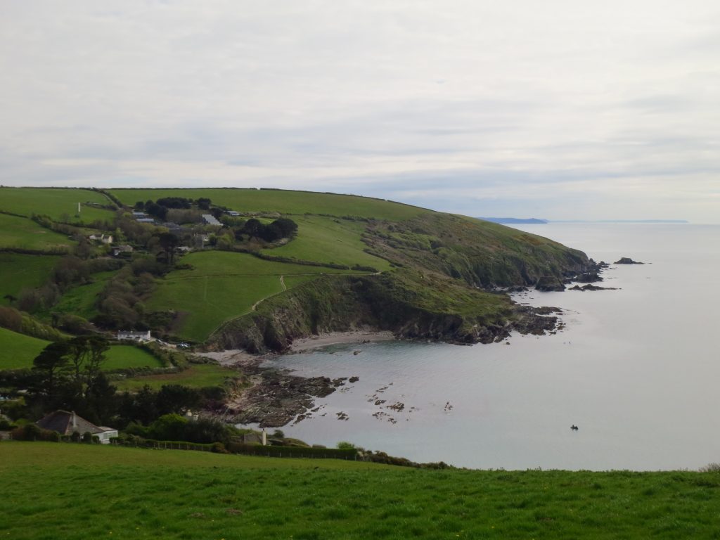
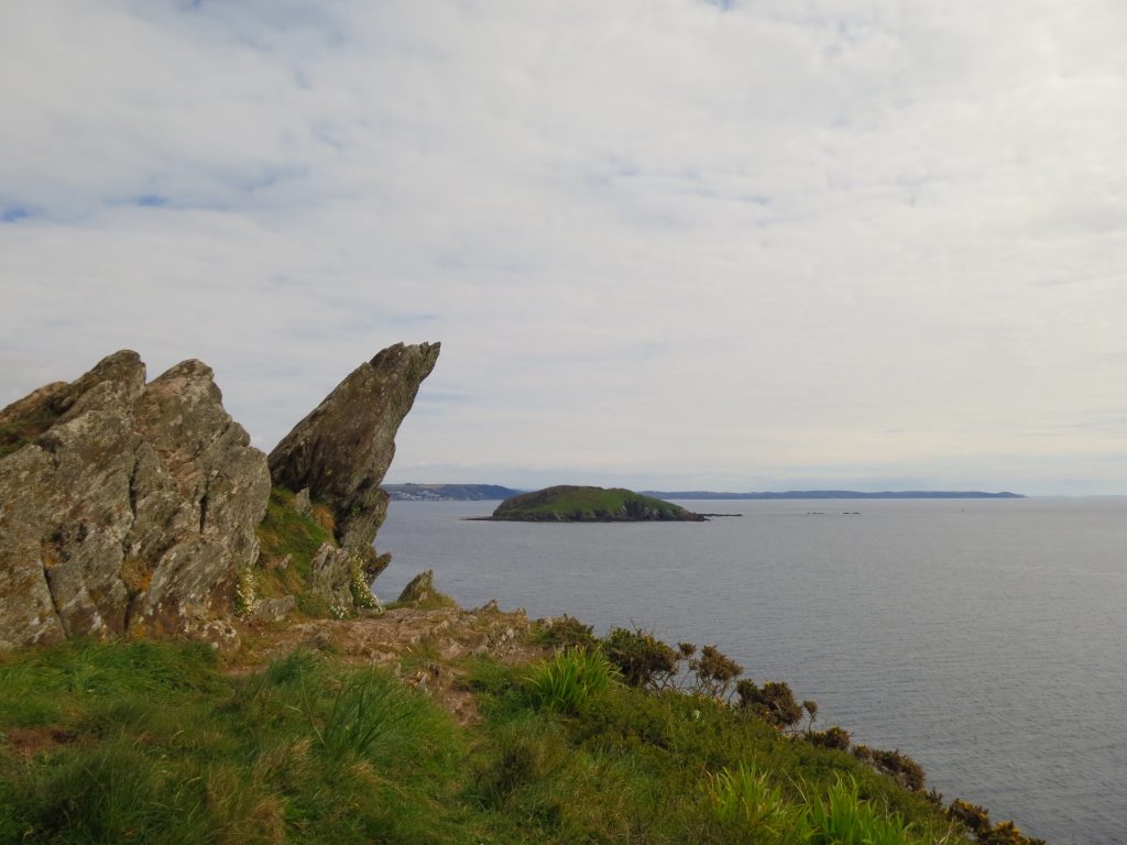
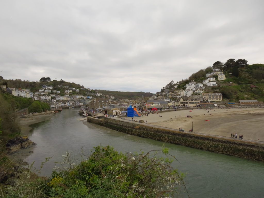
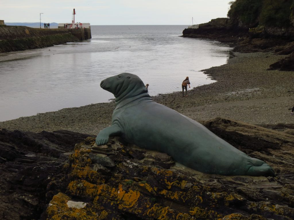
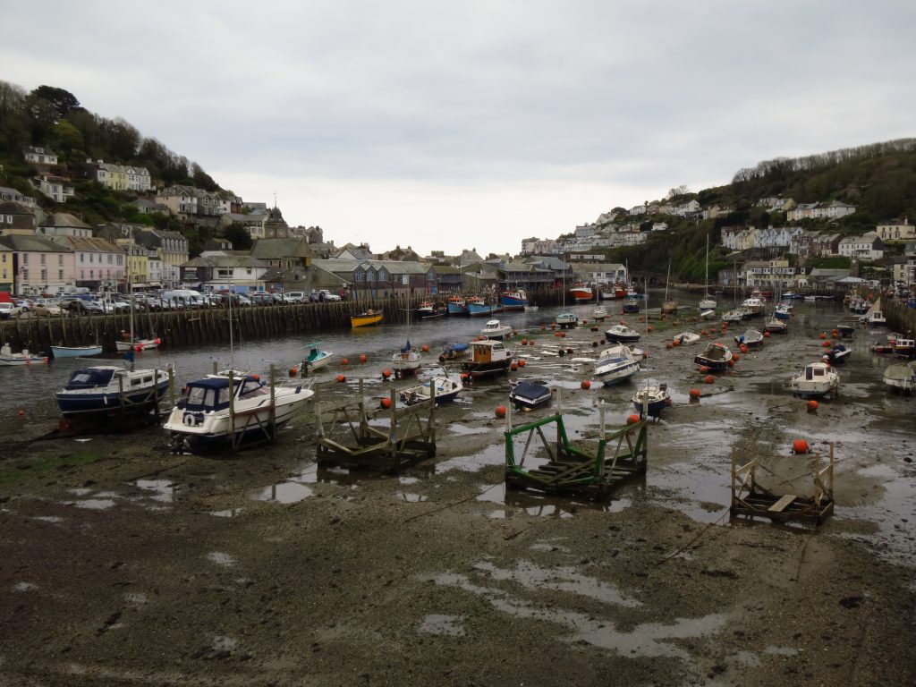
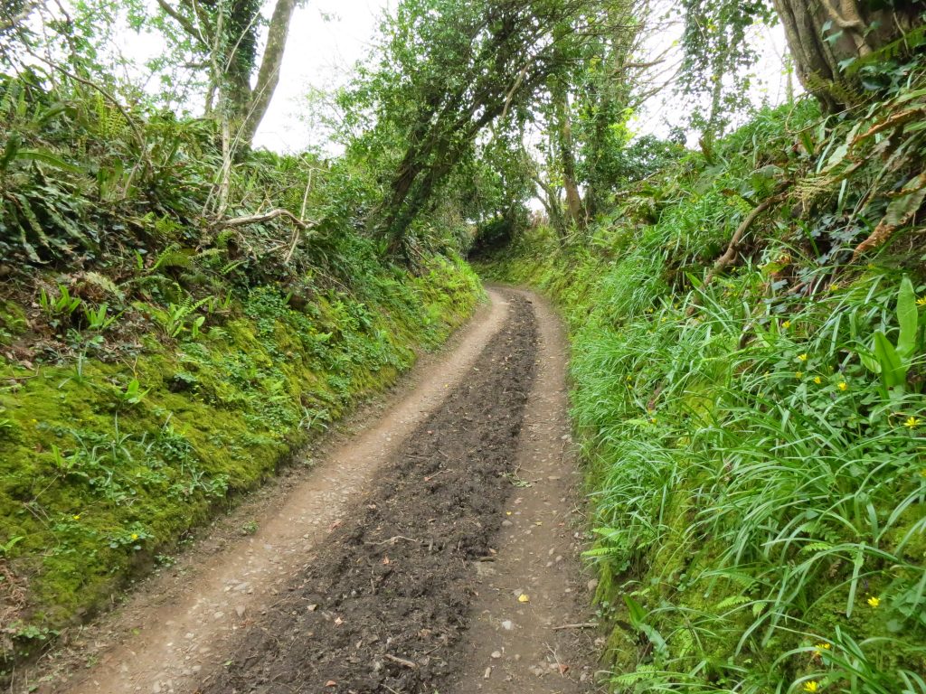
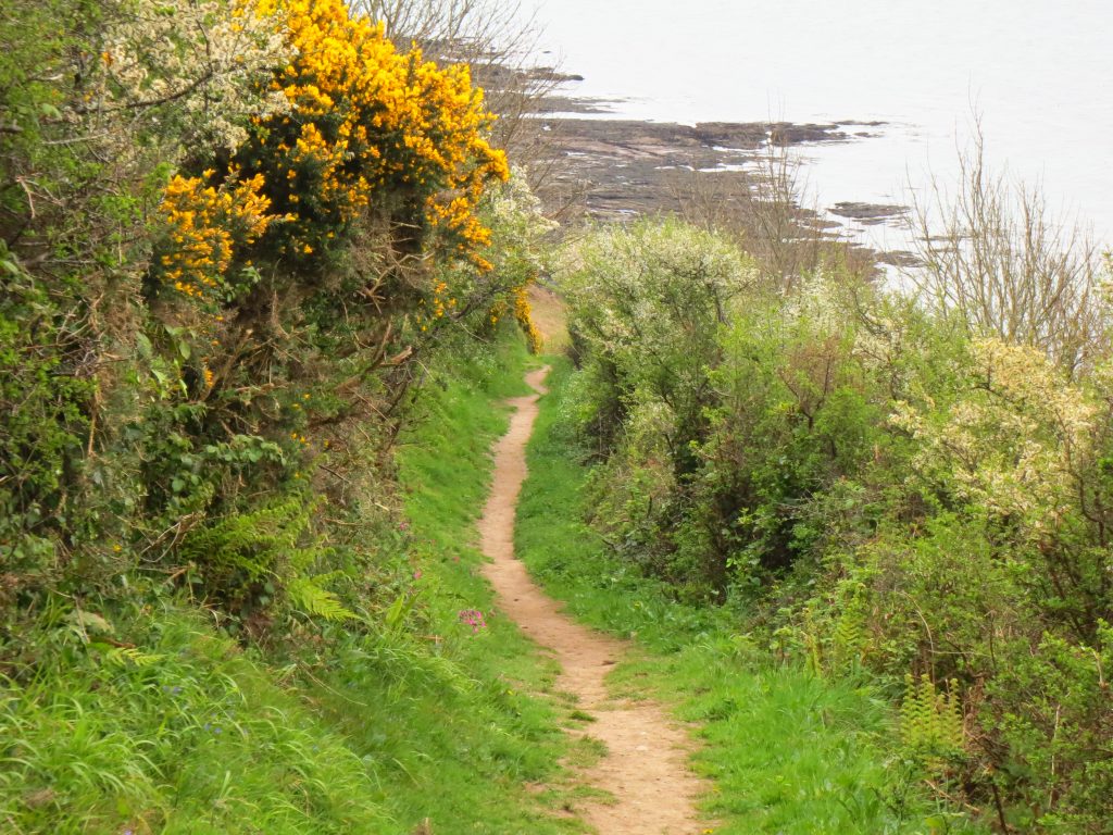
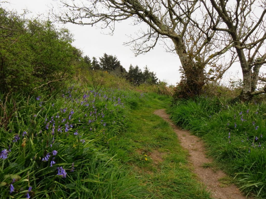
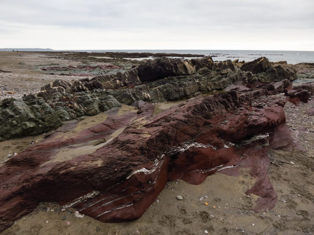
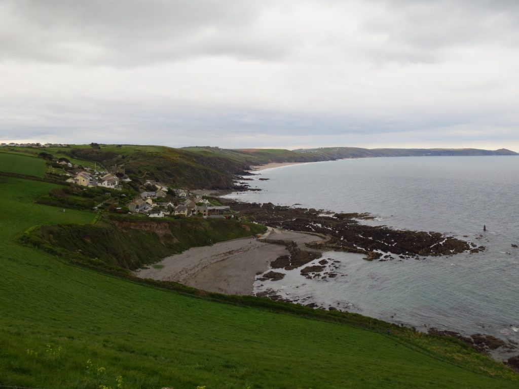
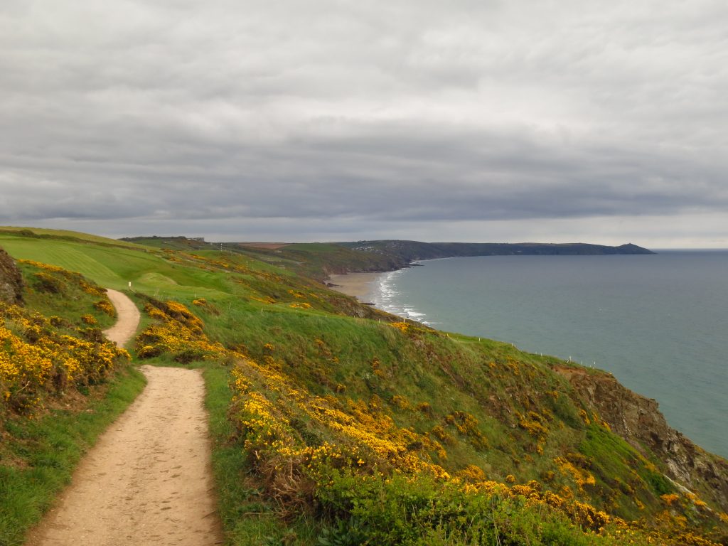
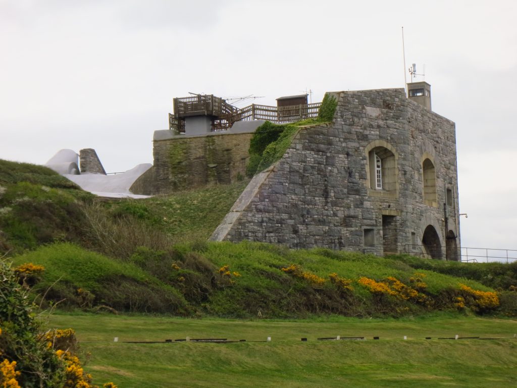
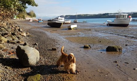
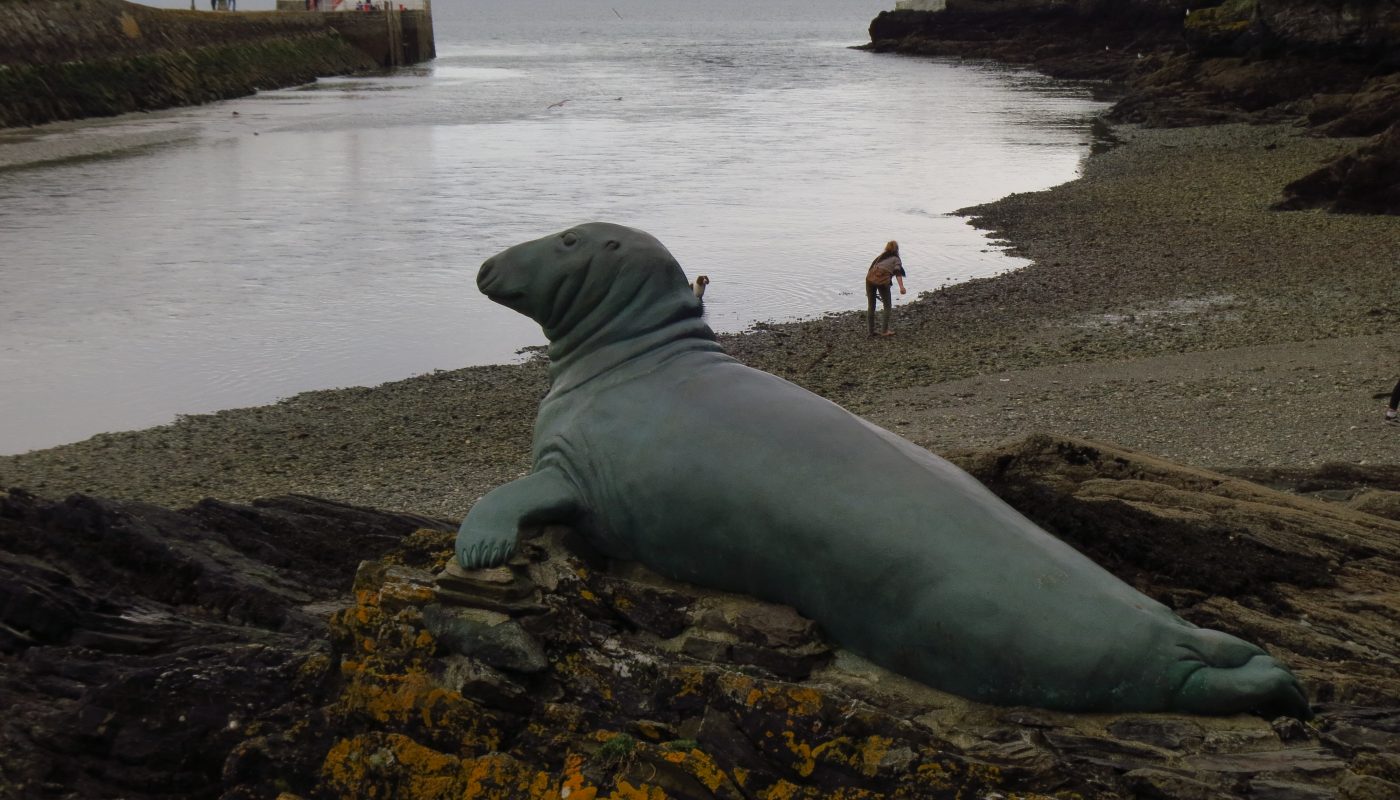
So the journey this year started exactly where I’d left off last time, at the end of the bus route in Polperro, and after a short walk through the streets of Polperro I regain the Coast Path.At look back at Polperro harbourAfter an inland diversion due to erosion on the coastal route, I near Porthallow and look across Talland BayThe indecisively named “St George’s or Looe Island”, with a view 18km across Whitsand Bay to Rame Head, around which is PlymouthWest Looe and East LooeA monument to Nelson the seal, who died in 2003 – apparently he lived on Looe Island (or St George’s Island) for over 25 years and made Looe harbour his dining room. His statue was unveiled by Sir Robin Knox-Johnson CBE.After a long exit from East Looe, I finally find countryside again as I ascend to MillendreathAfter passing a 155 metre trigpoint, there is a long and varied descent towards SeatonBluebells as Seaton draws nearerDownderry Beach, effectively a continuation of Seaton Beach. Eventually the Coast Path diverts off the beach and up a lane onto the main roadAfter several kilometres of isolated clifftop walking, I am now approaching Portwrinkle, with its diminutive harbourThe Coast Path skirts the edge of Whitsand Bay Golf Club’s course, before splitting into two routes depending on whether the firing ranges at Tregantle Fort are in use.Tregantle Fort, the permissive path being open today as there was no live firing going on. I’d left my car here this morning and got a taxi to Polperro, so it was easy to get into the car for the fairly short drive back to the apartment in Plymouth.

 by
by