In which: the day starts with a ferry ride ● a hilly parkrun is the prelude to the day’s walking ● Rame Head chapel guides me and provides a spot for lunch ● an orchard has little fruit but lots of bluebells ● I have a last Cornish ice cream before reaching Devon
Date: 15 April 2017 Time of walk: 0945 to 1620 Today’s walking: 24.5 km (plus 5.0 km running) Progress along SWCP: 22.0 km Estimated ascent: 680 metres
Today started with a walk across Plymouth to Admiral’s Hard to pick up the Cremyll Ferry, from where it was a short walk to the Mount Edgcumbe estate. This is the site of the Mount Edgcumbe parkrun, the first time I’ve reached a parkrun by ferry. It’s a hilly one – the run briefing held half way up the hill in front of the house, before descending almost to sea level to start the run. Then it’s up the hill for great views across Plymouth Sound, and half-way down – so lots of ascent on my hilliest parkrun to date, and only half the descent to balance it up.
Afterwards I pulled on walking trousers from my rucksack over my running shorts, changed top, socks and shoes, and then walked out to the road where I picked up the bus which took me to Tregantle Fort, ready to walk all the way back. Quite a busy start to a day of walking – I was a little anxious that the tough parkrun would leave my legs tired for the day’s walking, and that having to carry the running gear around with me all day would be a bit tedious, but in reality neither was an issue.
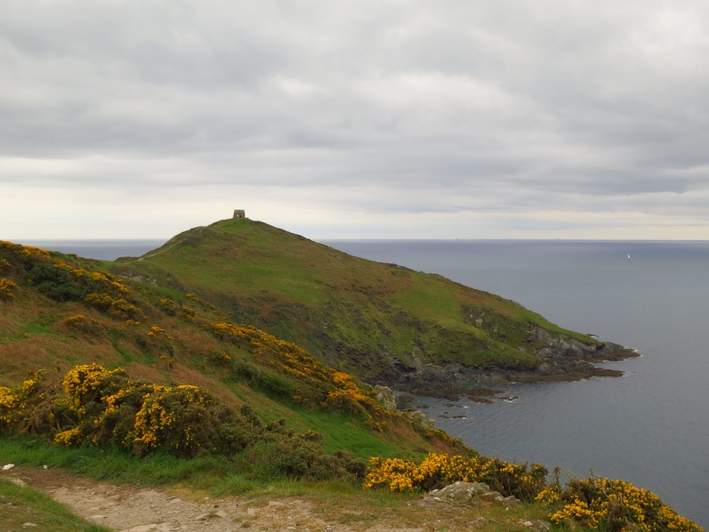
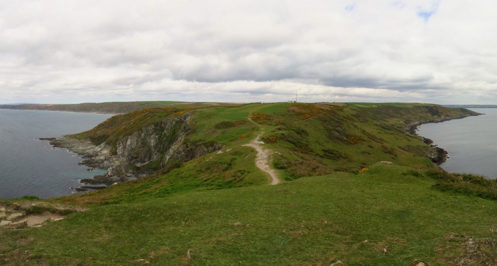
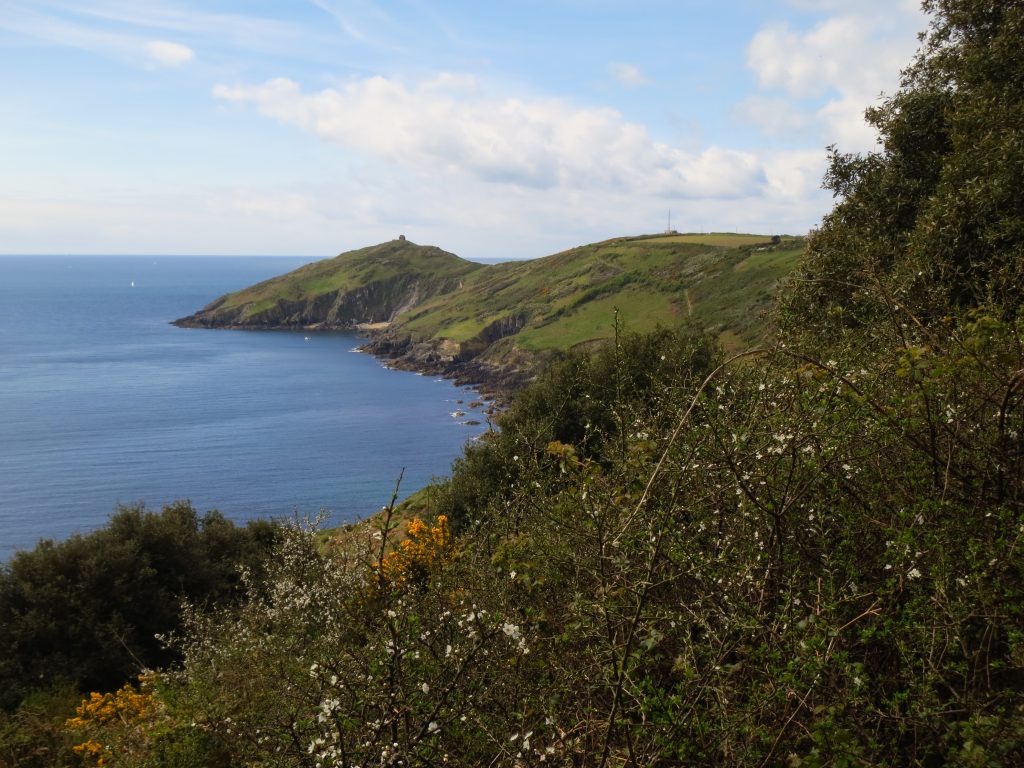
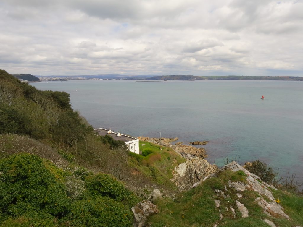
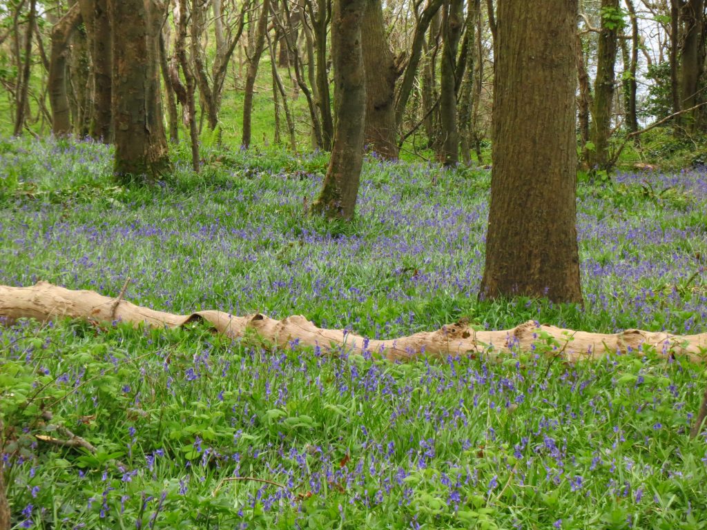
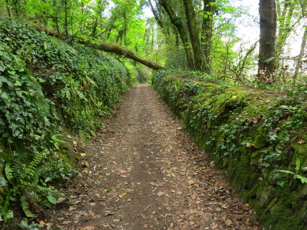
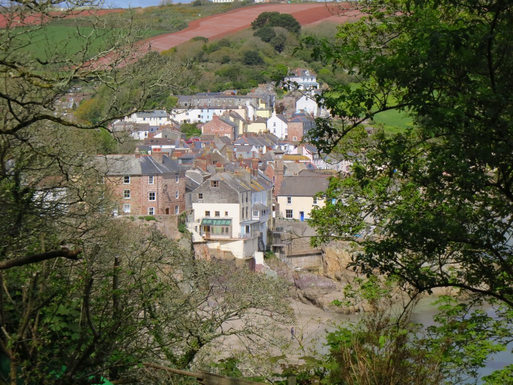
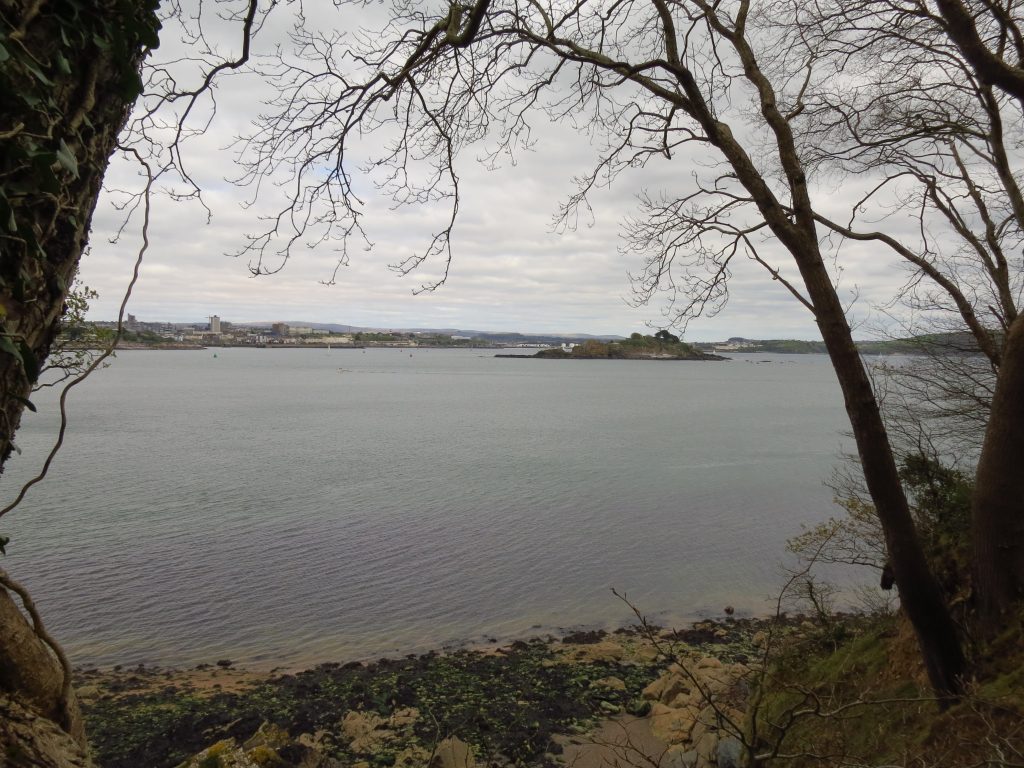
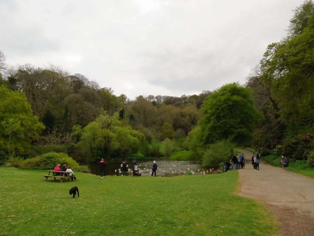
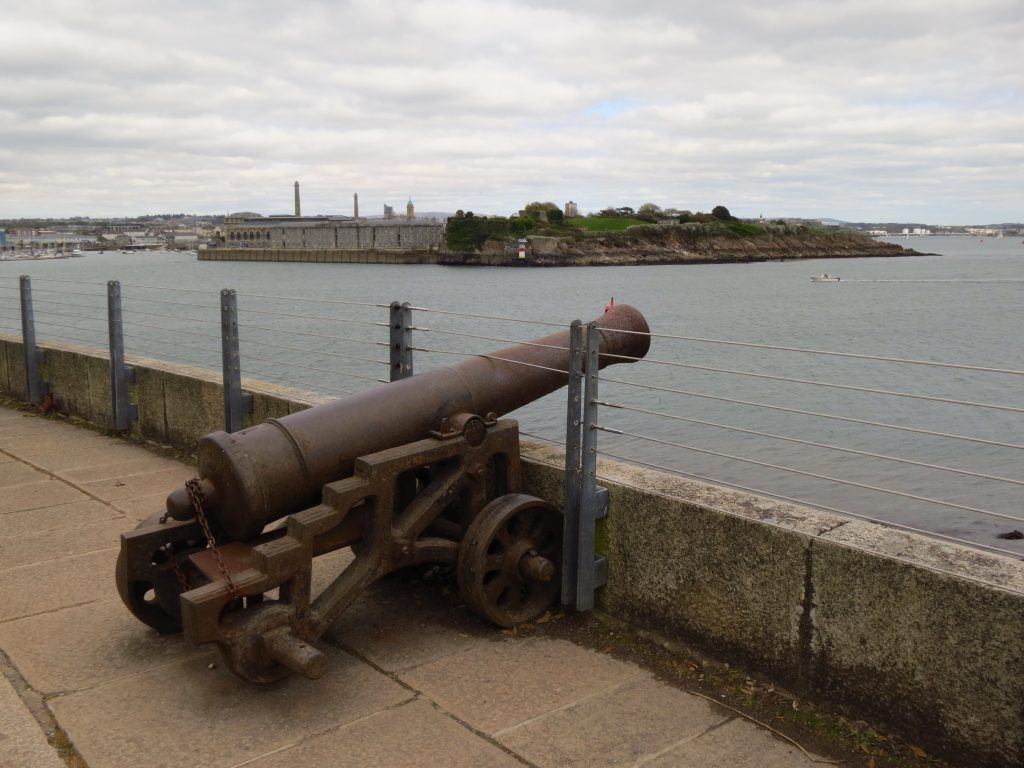
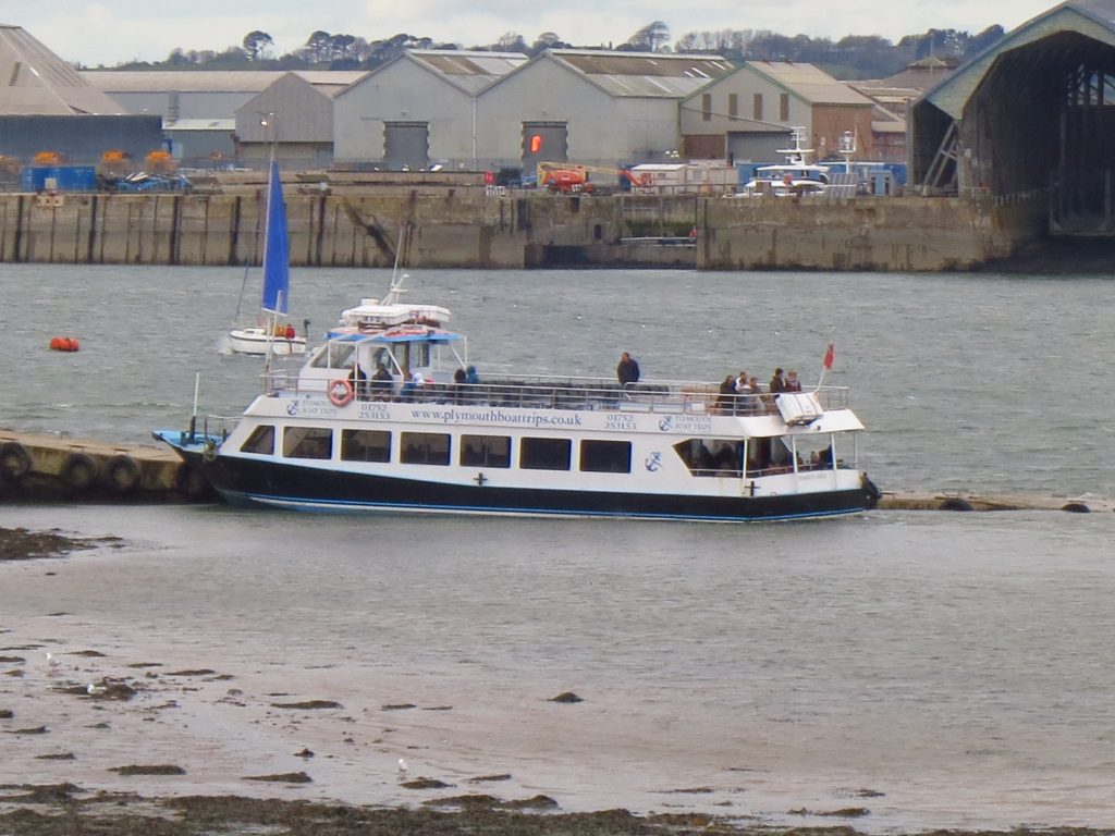
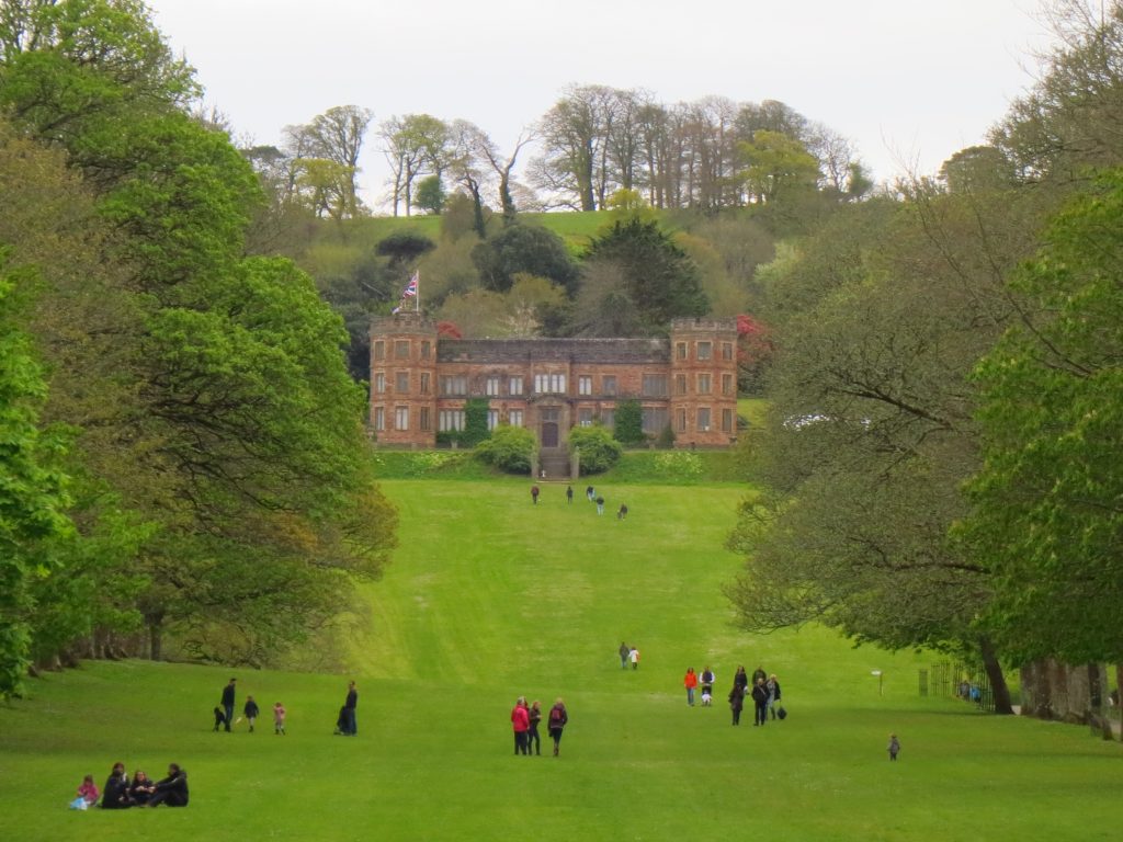
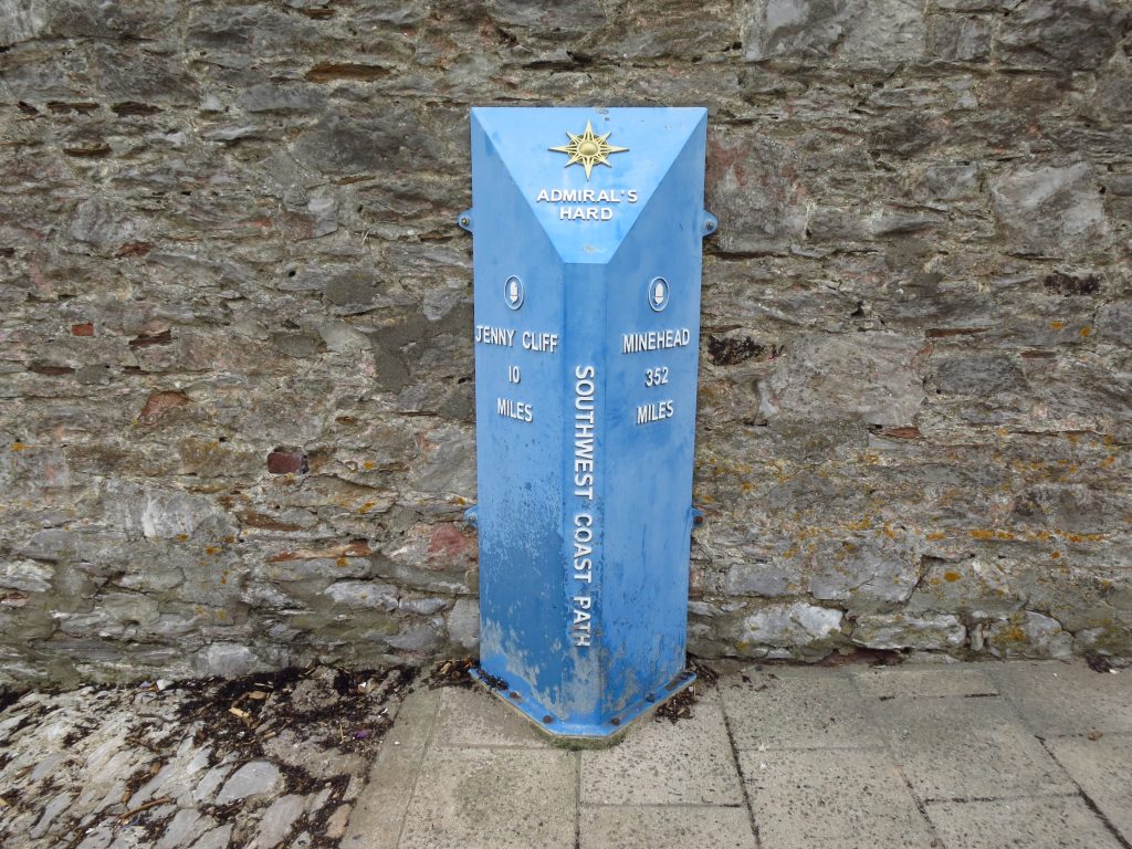
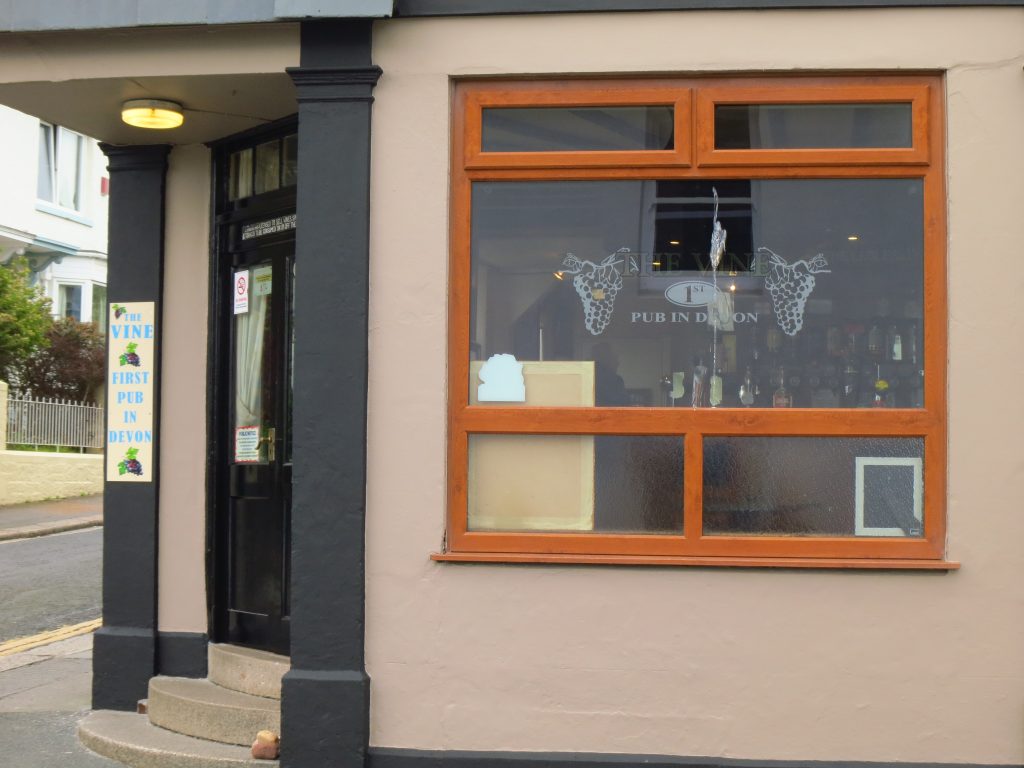
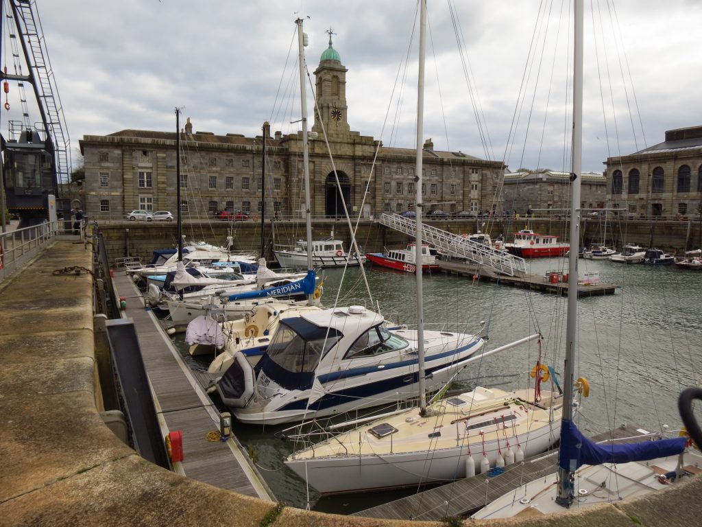
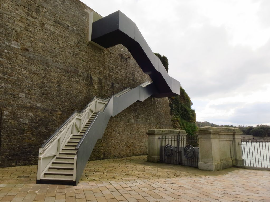
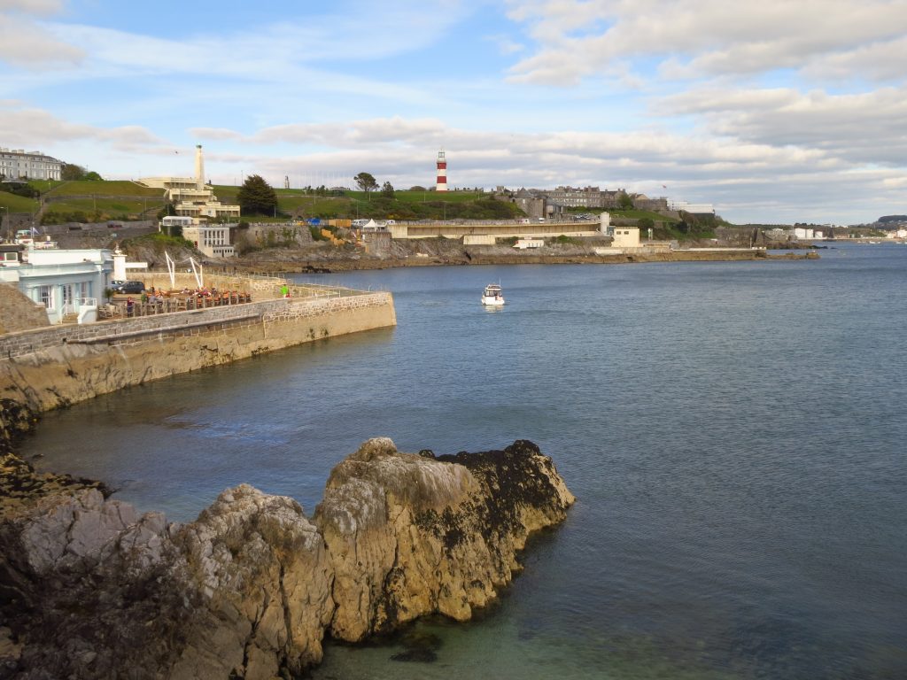
The chapel on Rame Head was in my sights all morning, ever so slowly getting closer. The last little bit to the chapel itself is nominally a diversion off the Coast Path, but obviously had to be done, and it was a good spot to stop for some lunch.From Rame Head chapel, the morning’s route walked (on the left) and the first part of the afternoon to walk (on the right)Looking back to Rame HeadRounding Penlee Point, Plymouth Sound comes into viewWatery Orchard PlantationContinuing the pleasant walk through the plantationCawsand and Kingsand – it is going to start to get busy now.After yesterday’s case, today we also have an indecisively named island, this one being Drake’s Island or St Nicholas’s Island, seen from the Mount Edgcumbe estateFamilies out enjoying the pleasant weather in Mount Edgcumbe park, where I was running a few hours agoWilderness Point looking across to Devil’s PointThe Cremyll ferry. Looks like I’m about to miss that one, so time for an ice creamMount Edgcumbe HouseIt’s a long way from Minehead, but I’ll be passing Jenny Cliff tomorrow – the far boundary of Plymouth and where I’ll change from a largely urban route back to more rural scenes.Having crossed the water, I’ve also crossed from Cornwall back into Devon – and here’s the first pub in Devon.On the Plymouth side, walking around Royal William Yacht Harbour. The rest of today’s walk, and the first big chunk of tomorrow’s, are urban. An urban interlude can be disruptive in a rural walk, but when your head is ready for urban, then there is always lots of interest and variety.Stairs to help me over the wall at Devil’s PointOn the other side, some greenery and views past Drake’s (or St Nicholas’s) Island, to Jenny Cliff.Looking across the entrance to Millbay Docks to The Hoe
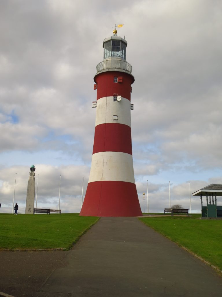
Smeaton’s Tower on The Hoe – too late for a visit but perhaps in the morning. From here, it was just a short walk back to my apartment for a well-earned rest and some food.

 by
by