In which: Smeaton’s Tower gives good views ● a giant prawn looms ● the convoluted shortline of Plymouth is explored ● no-one wipes their feet ● rural cliffs emerge at last ● ice-cream beckons
Date: 16 April 2017 Time of walk: 0930 to 1445 Today’s walking: 18.5 km Progress along SWCP: 18.3 km Estimated ascent: 450 metres
The day started with an early drive to Wembury, where I left the car and took my prebooked taxi back to Plymouth Hoe, for a net distance gained of about 300 metres, but the walk was set up. It was very much a walk of two halves, the very convoluted and varied urban walk through Plymouth and its various docks, tidal inlets and creeks, and then the rural section onwards to Wembury.
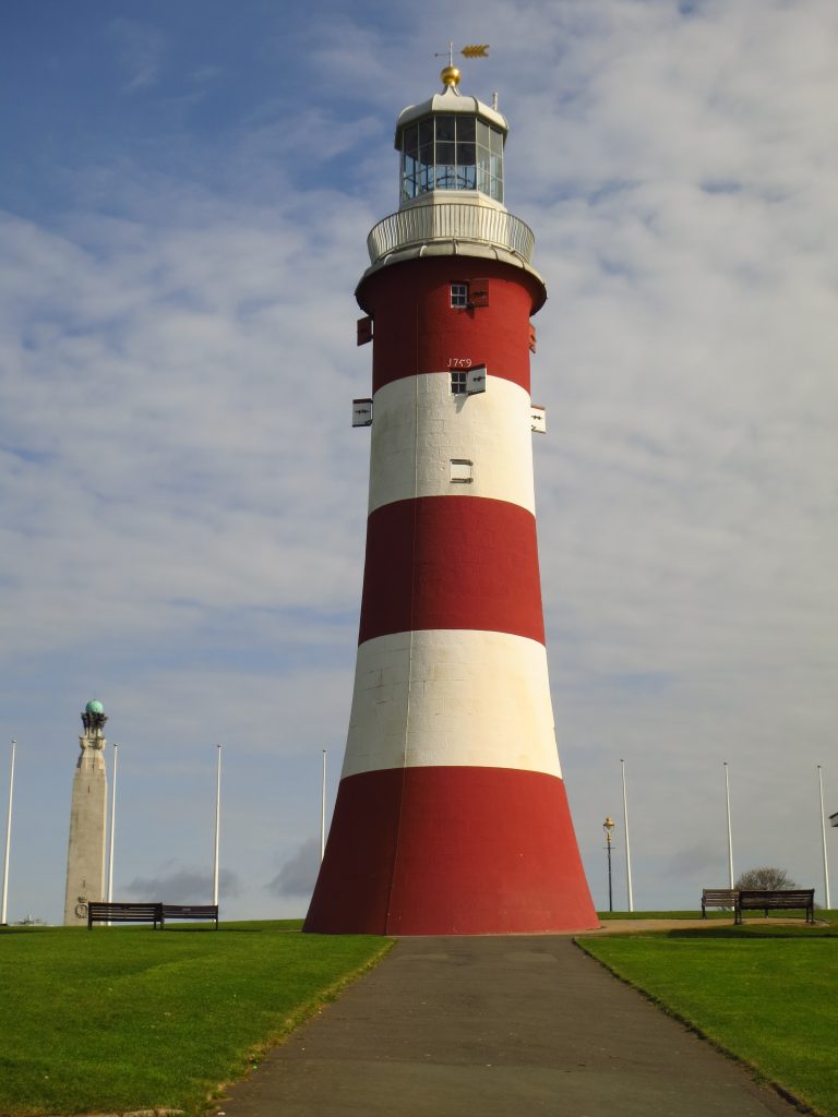
However, my first objective was a visit to Smeaton’s Tower where I arrived at the end of yesterday’s walk, which had been closed by the time I got there. My timing of the car trip and the taxi ride had been planned to allow an early visit up the tower and still get underway proper before the day was too advanced.
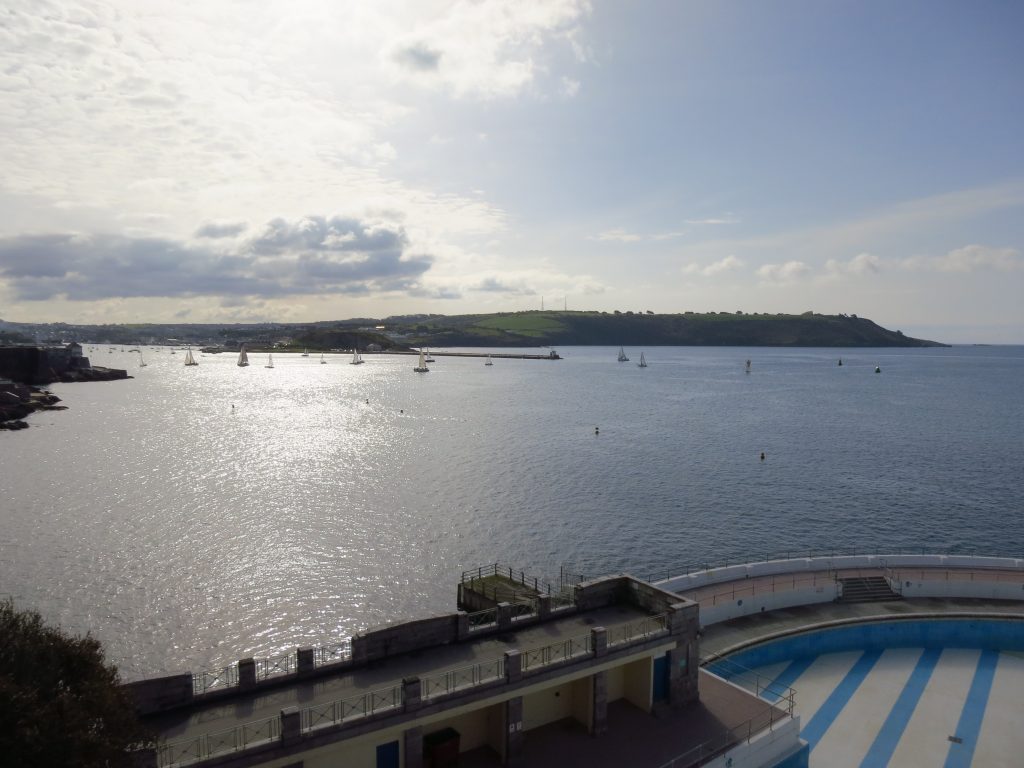
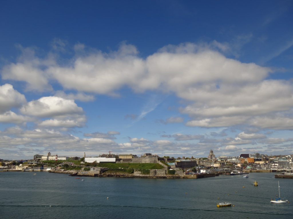
From The Hoe, a look out over the dry lido and the water of the sea to Mount Batten point (centre left) with Jennycliff Bay centre right, where I will finally leave Plymouth.
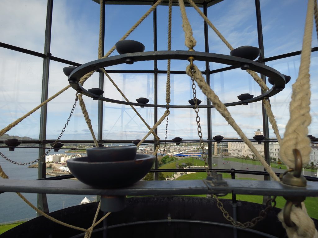
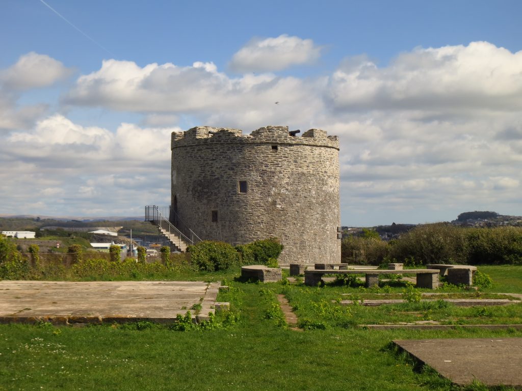
Smeaton’s Tower
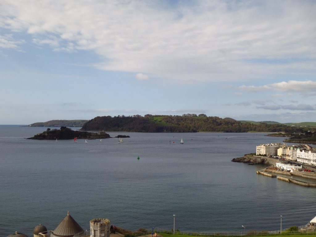
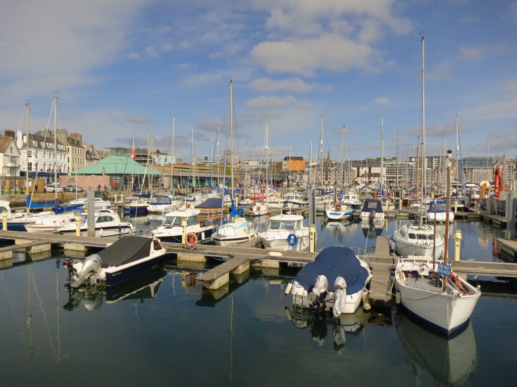
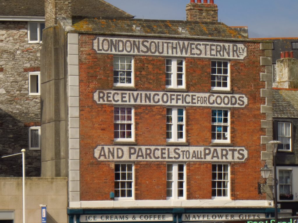
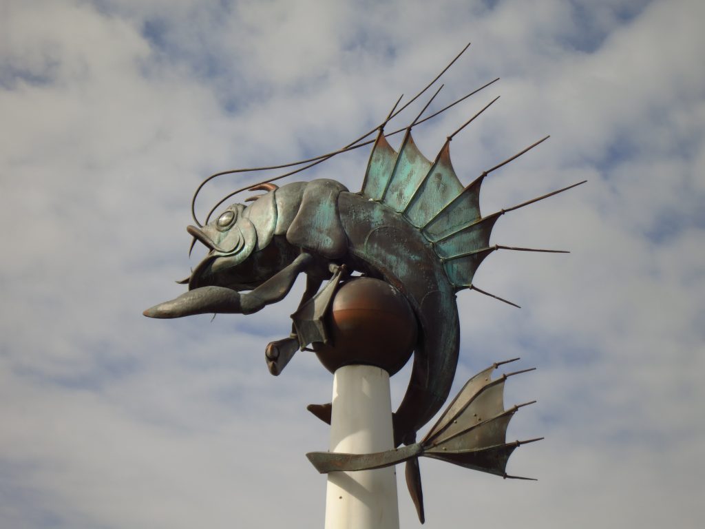
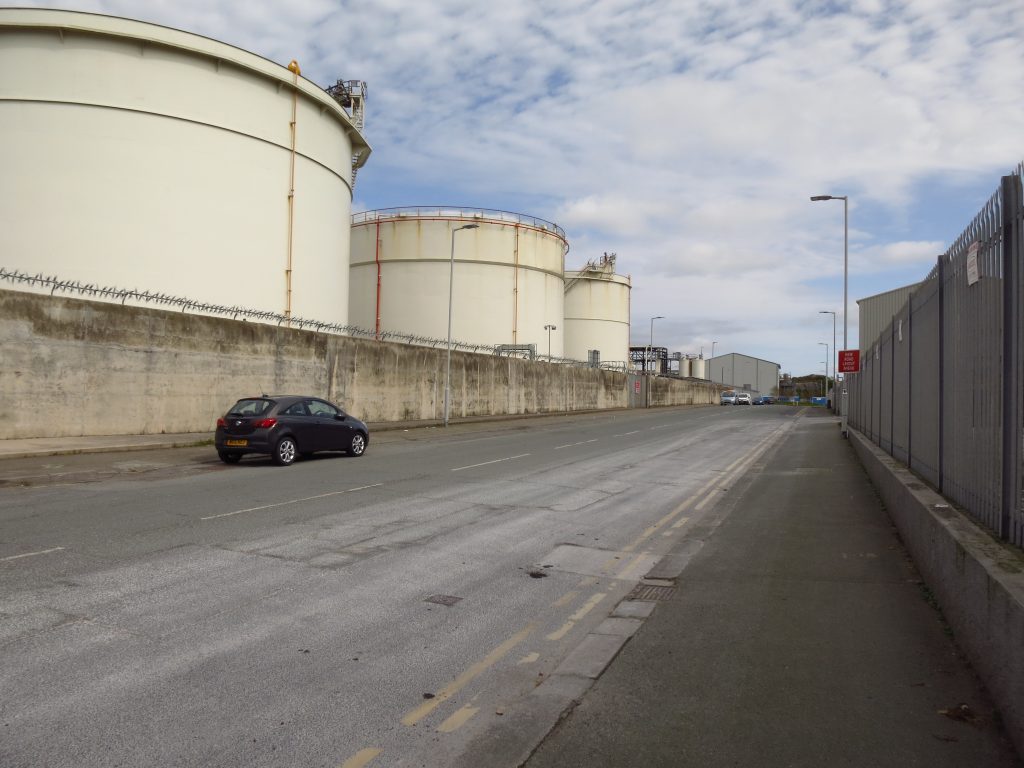
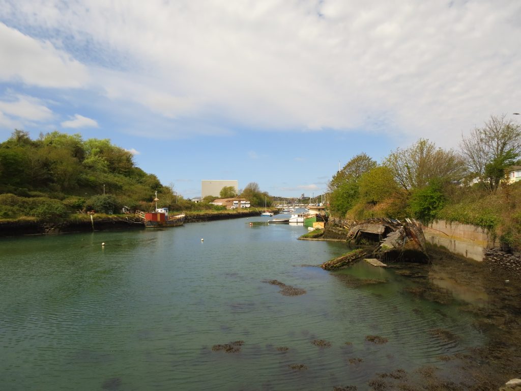
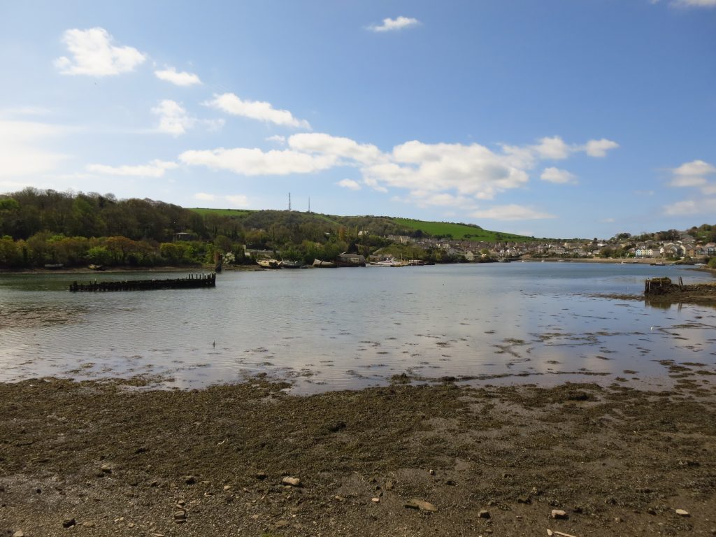
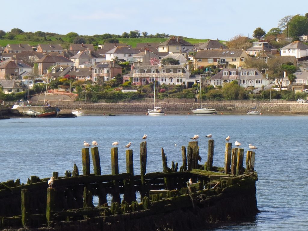
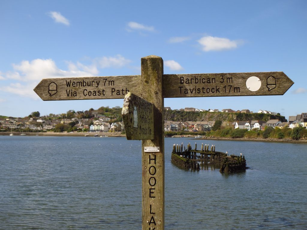
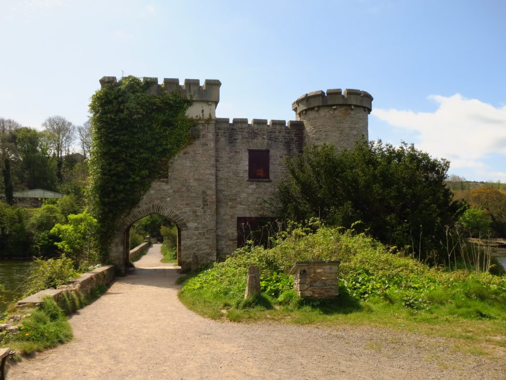
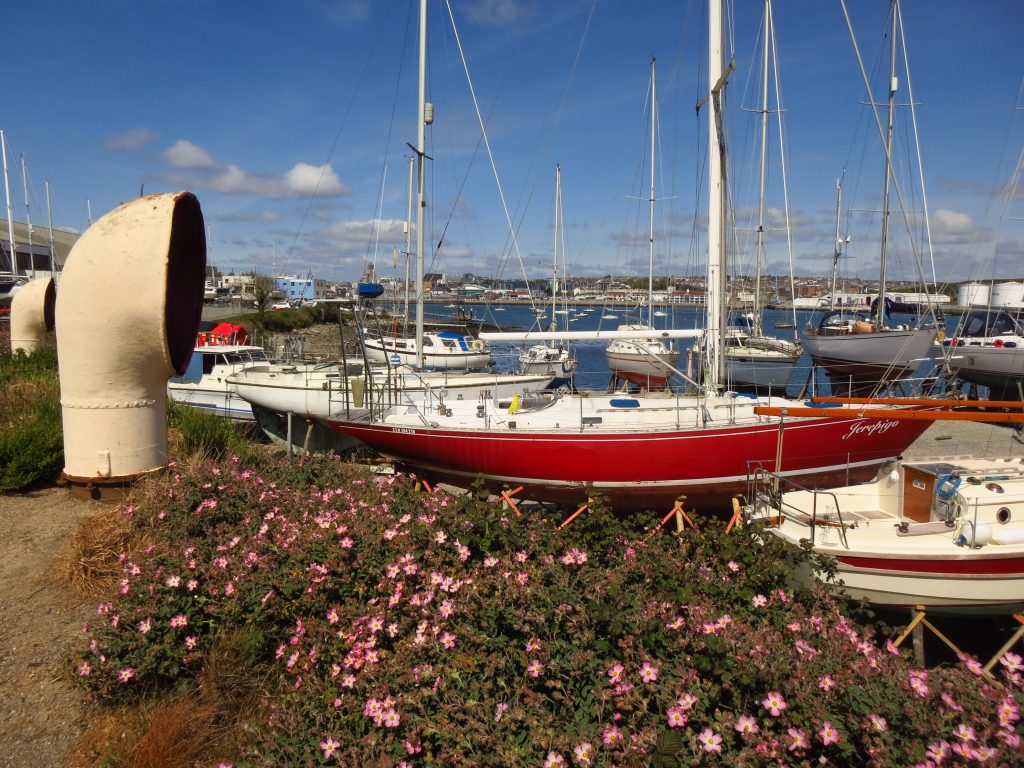
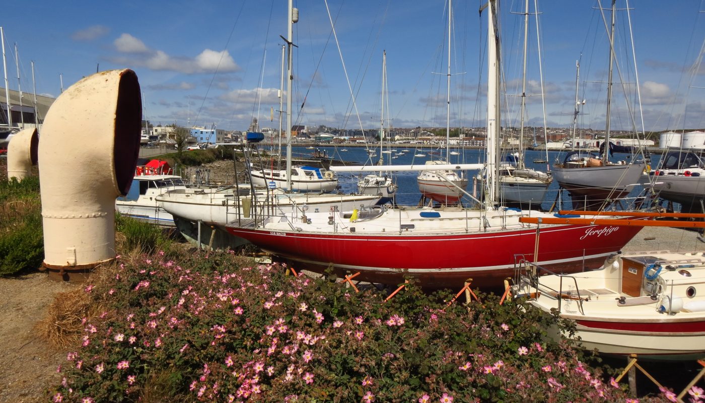
From Smeaton’s Tower, a look to Cornwall, and Mount Edgcumbe in particular.The view from Smeaton’s Tower, the third lighthouse on the Eddystone rocks, moved here after the fourth one was built. The fourth one was visible 11 miles in the distance, along the with stump of Smeaton’s lighthouse, still on the rocks.Mounts for the candles which warned ships of the rocksSome of the boats in the marina in Sutton HarbourYou see all sorts in the Ocean City. Apparently this is widely known as the Barbican Prawn, but officially as “The Plymouth Sea Monster”.Well, the walk through Plymouth is definitely varied. Some sections are less scenic, but still plenty of interest to look at.Pomphlett Lake is a tidal inlet off the River Plym, and where I stopped for my first lunch breakHooe Lake is, again despite the name, another tidal inletI’m making progress, but a goodish way to go to WemburyThe Coast Path passes through the archway of Radford Castle, an old lodge building on the causeway between Hooe Lake to the right, and Cattewater to the left.
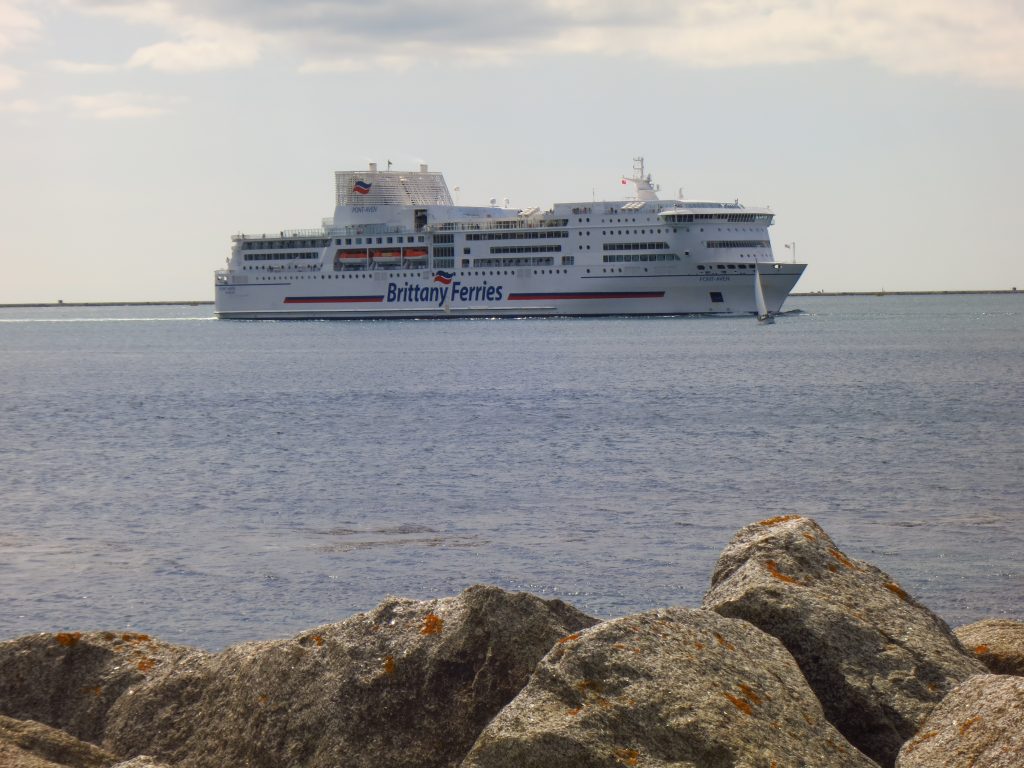
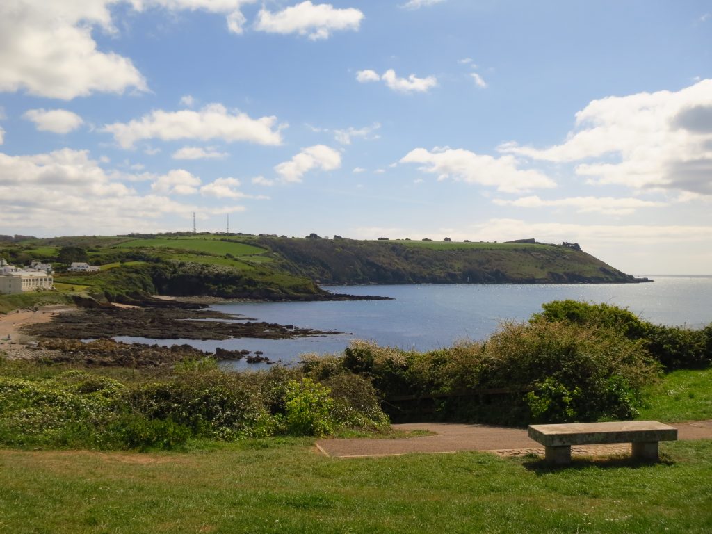
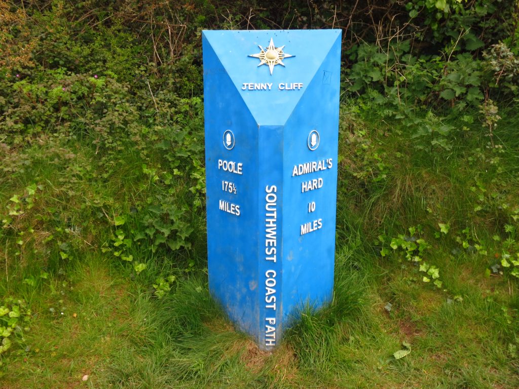
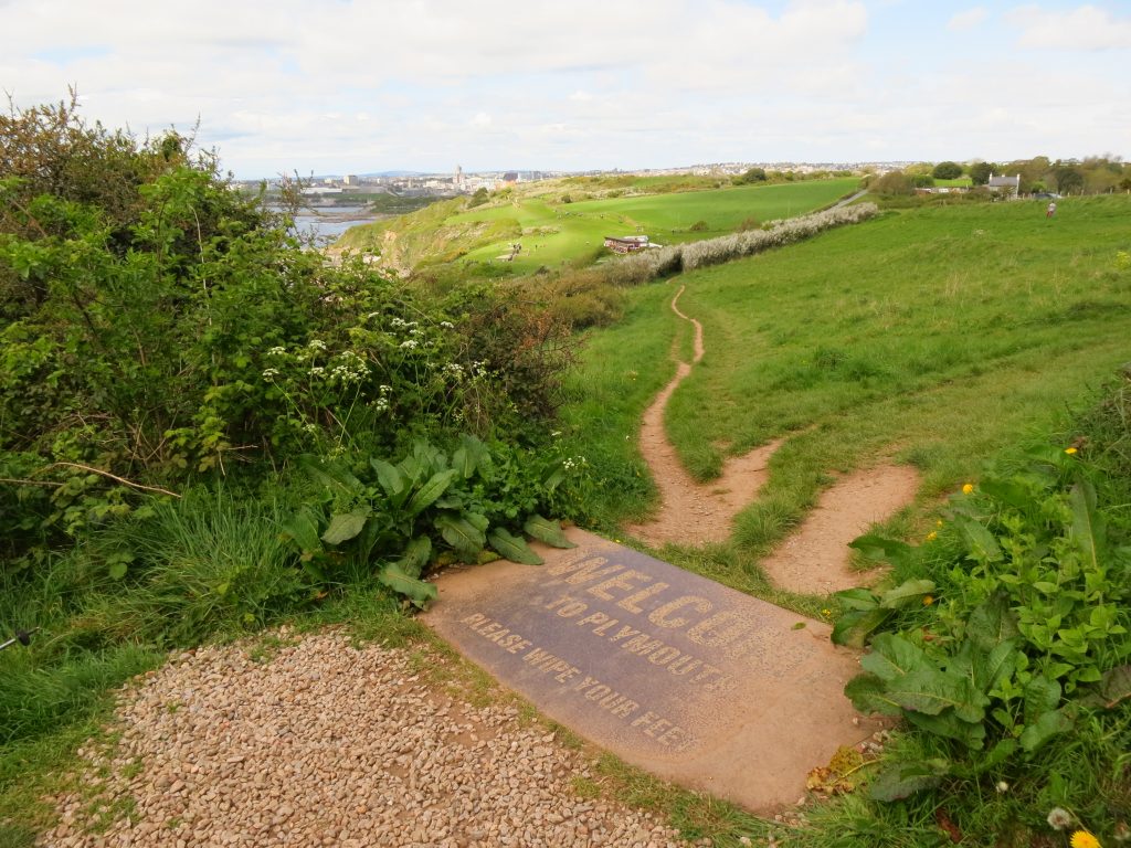
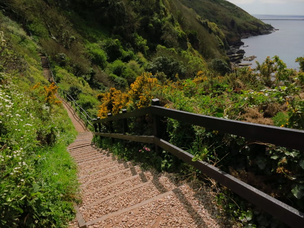
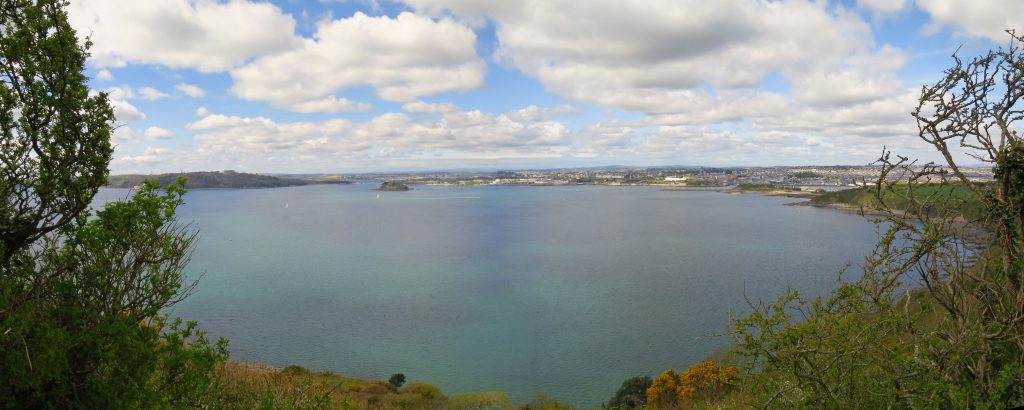
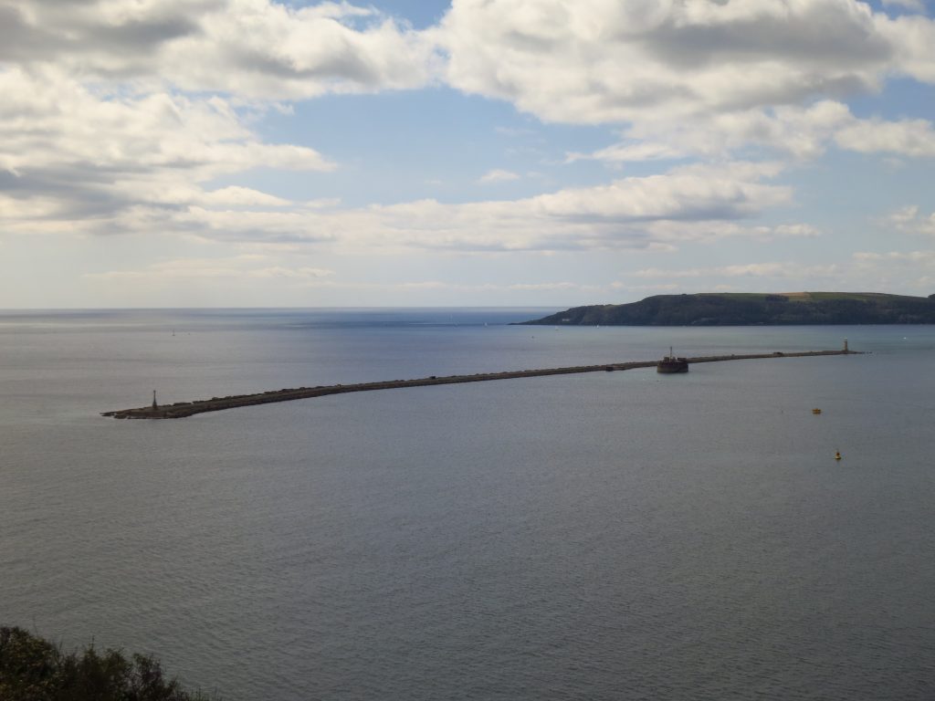
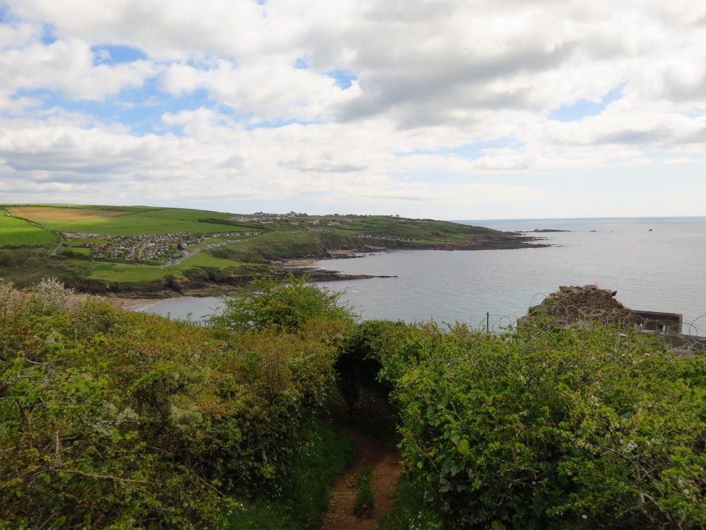
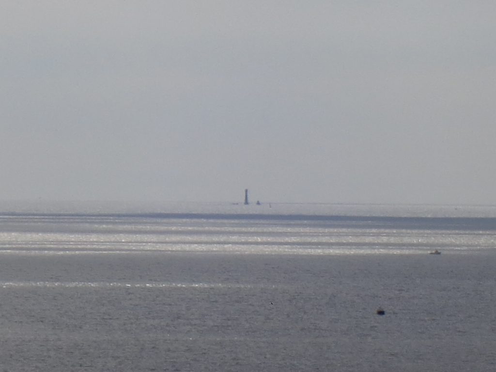
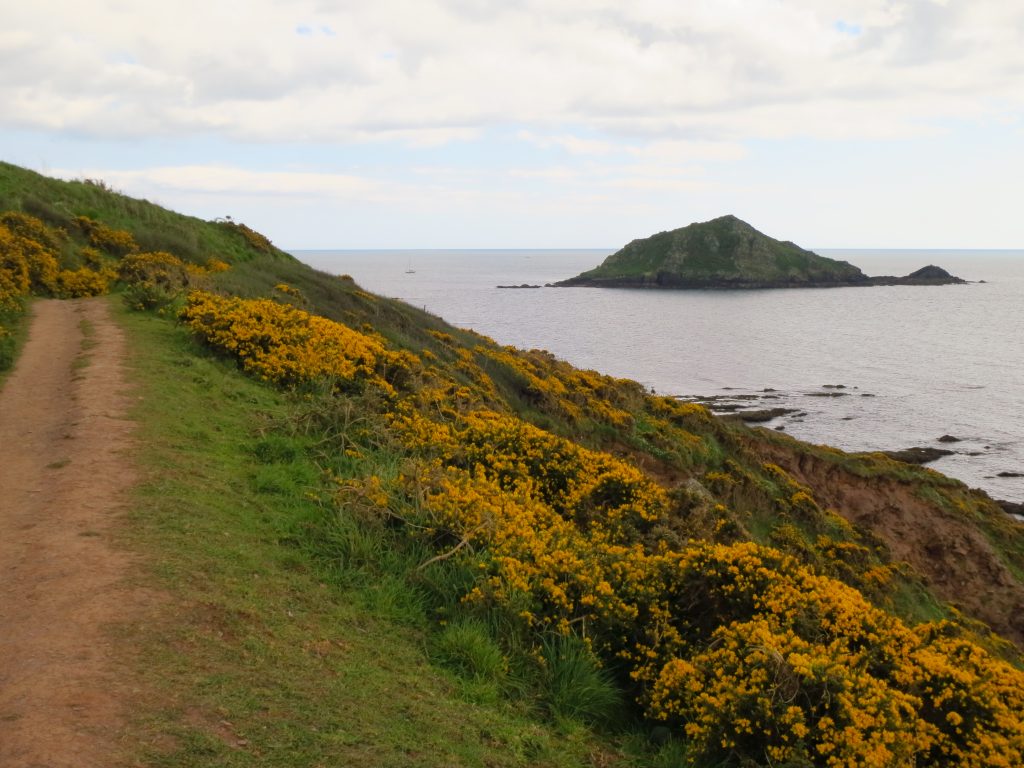
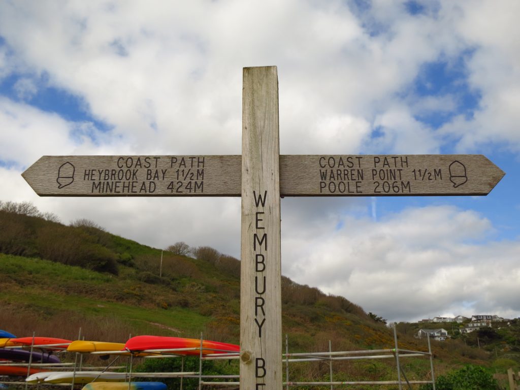
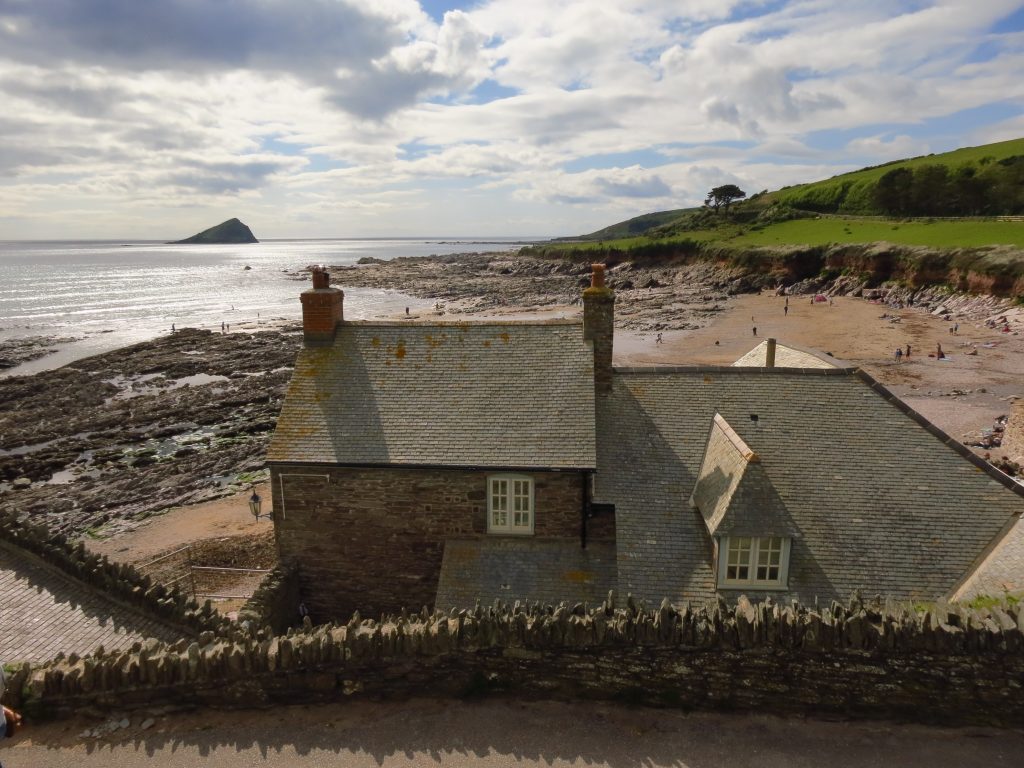
Clovelly BayThe ferry from France arrivesFrom Mount Batten Point, looking back to the Citadel and (towards the left of photo) Smeaton’s Tower, from where it has taken me 2.75 hours to walk.The tower on Mount Batten PointFrom here by Mount Batten Tower, there are good views all around Plymouth Sound, including across to Jenny CliffFor those going the other way, when they complete those 10 miles to Admiral’s Hard, they’ll find a matching milepost telling them how far to Minehead, one of the ends of the path together with Poole.After crossing the popular grassy area above Jenny Cliff, I am finally escaping Plymouth. I didn’t see anyone on the way in wiping their feet.Clearly a lot of investment has been made in some quality steps and fencing herePlymouth Sound from above Rams CliffPlymouth Breakwater and Breakwater Fort, with Penlee Point behind.Looking across Bovisand Bay and Crownhill Bay to Andurn Point. When you think you’ve escaped the major impacts of humans on the landscape, there is military barbed wire on the right and a host of holiday chalets ahead.The lighthouse on Eddystone Rocks, 18km away.The island of Great Mew Stone. Though I enjoyed the urban exploration of Plymouth, it’s great to be on my own again on a more characteristic Coast Path section.At journey’s end for today, Wembury Beach. This style of signpost is common on the South West Coast Path, but I don’t particularly recall one with both Minehead and Poole mentioned. Still, looks like I’m making progress.Ice cream in hand, a look across Wembury Mill to the beach, with the island of Great Mew Stone behind.

 by
by