In which: the Coast Path becomes a walk along the Rivers Taw and Torridge ● I still see no Royal Marines, but plenty of their equipment ● the Ilfracombe branch line leads on to the Torrington branch ● I look fondly from Instow to Appledore ● two Long Bridges carry me across water ● I rediscover Outstanding Natural Beauty ● Braunton Burrows seem a long time ago ● I reach an exclamation with relief
Date: 7 April 2012 Time of walk: 0825 to 1755 Today’s walking: 39.3 km Progress along SWCP: 37.3 km Estimated ascent: 170 metres
Although I was sure that last night I’d been told that I was the only guest using the non-ensuite bathroom, I found when I went to have my shower that it was in use, so I was a little rushed getting ready, but was still downstairs for the agreed eight o’clock breakfast. I found another walker there who’d walked from Minehead along the SWCP over the last five days. She’d carried a tent with her, but had used B&B’s some of the time too, adopting a “let’s see how I get on” approach to how far she would walk each day and where she would stay, a very different approach to mine of using a company to book my accommodation months ahead, with almost every step planned and plotted on digital maps. She was now off home to Oxford, with only the vaguest idea on how she would get there with a combination of buses and trains: I booked my tickets 12 weeks ago and must stick to those trains. Breakfast was decent, and afterwards I brought my case downstairs into the hall and bade farewell to North Cottage.
The convenience store I’d planned to visit this morning for today’s provisions wasn’t open until nine, which didn’t fit my definition of convenient, but there was a Tesco store which was only a short walk from the the old railway line path. Although today’s walk was mostly completely level on relatively easy surfaces, I was a little anxious about it because it was to be the longest I’d walked in a day, by about 20%. However, fully stocked at Tesco with bread rolls and pains au chocolat, I set off into the great unknown.
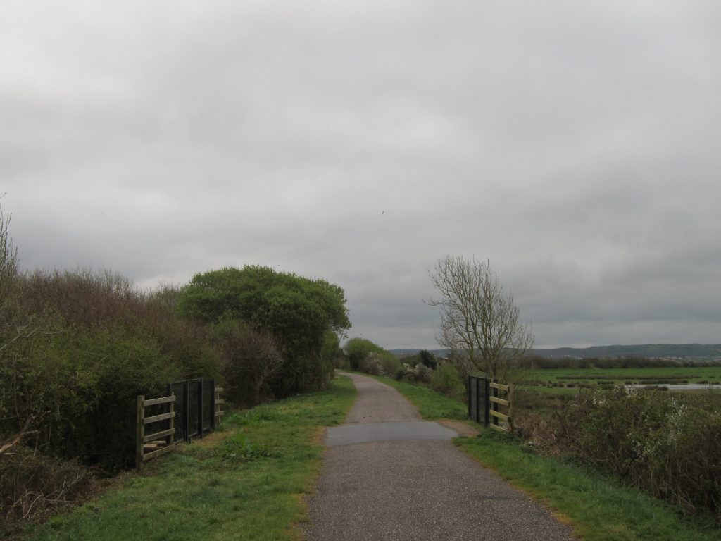
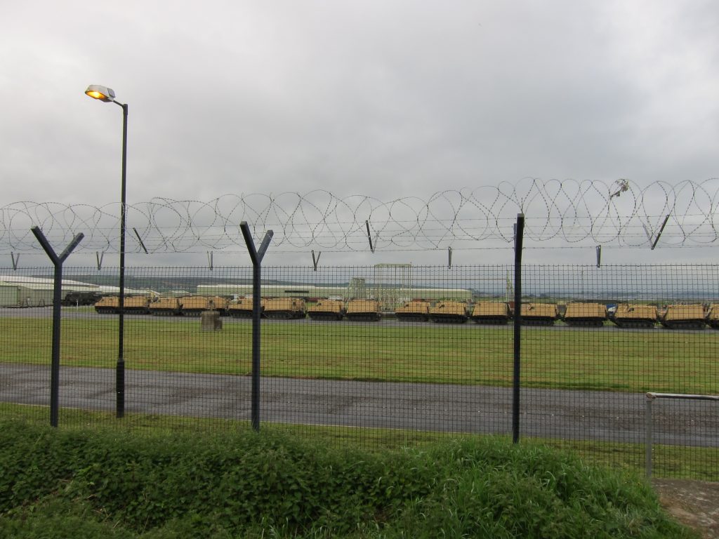
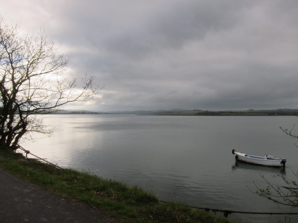
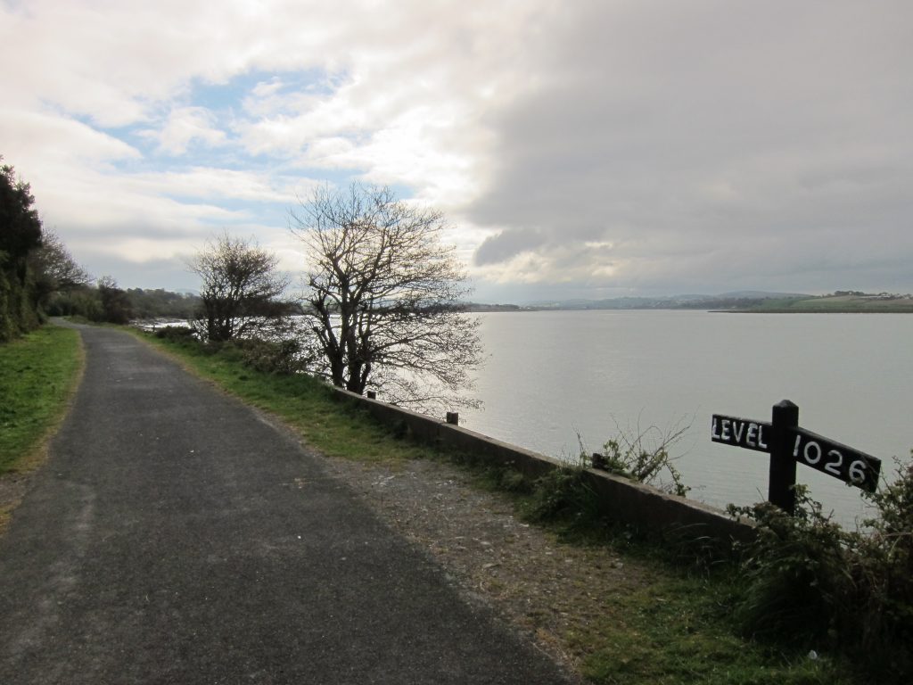
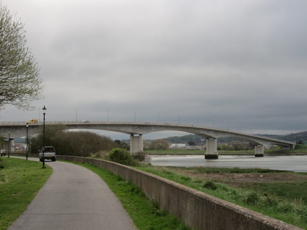
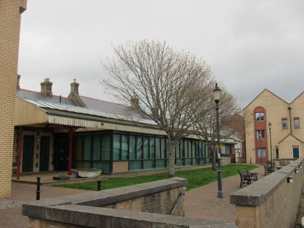
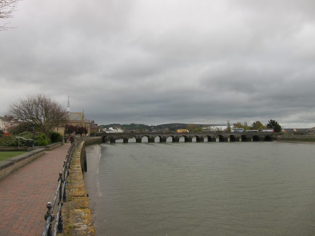
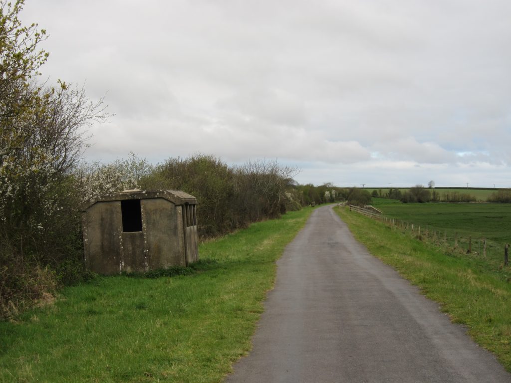
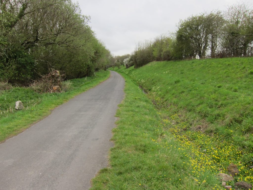
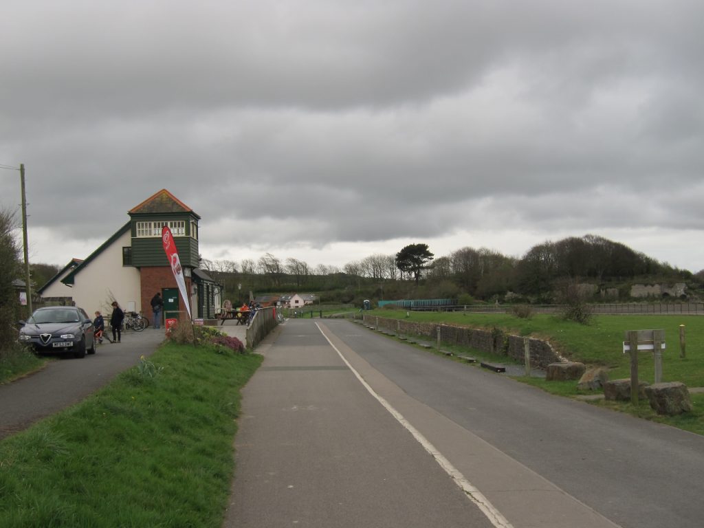
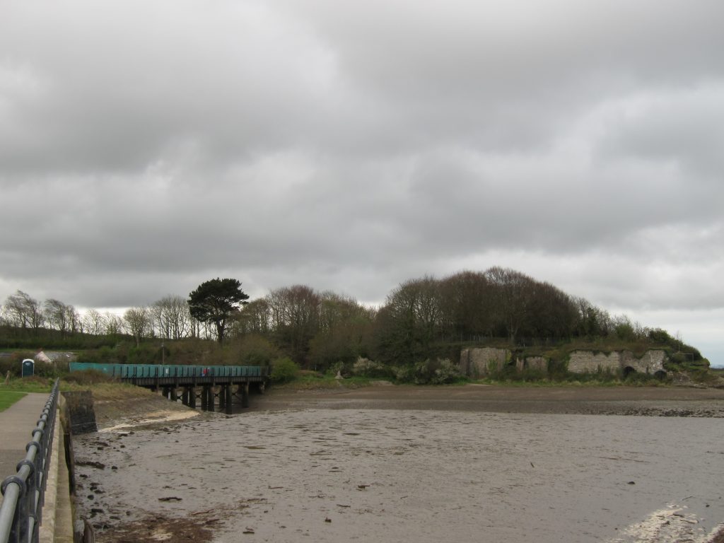
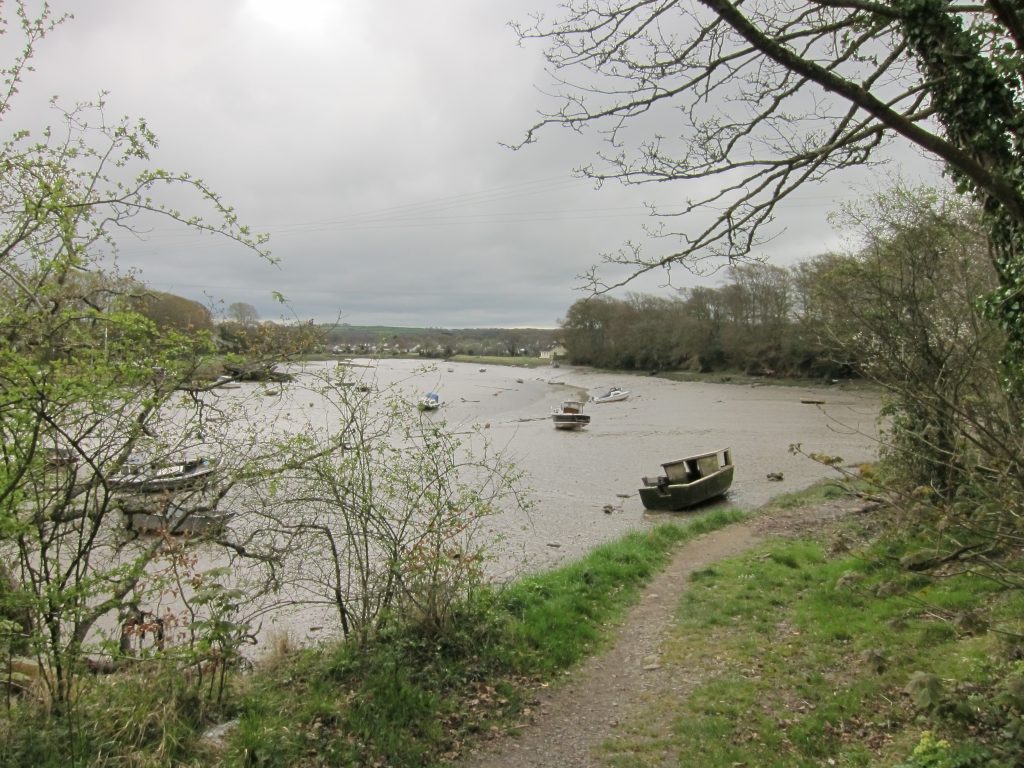
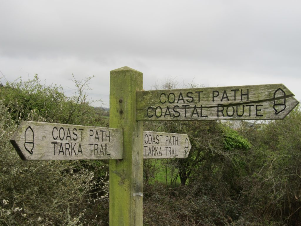
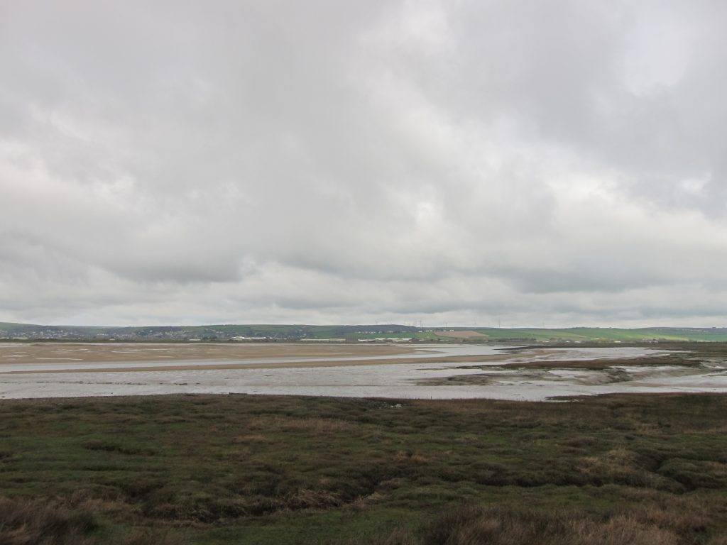
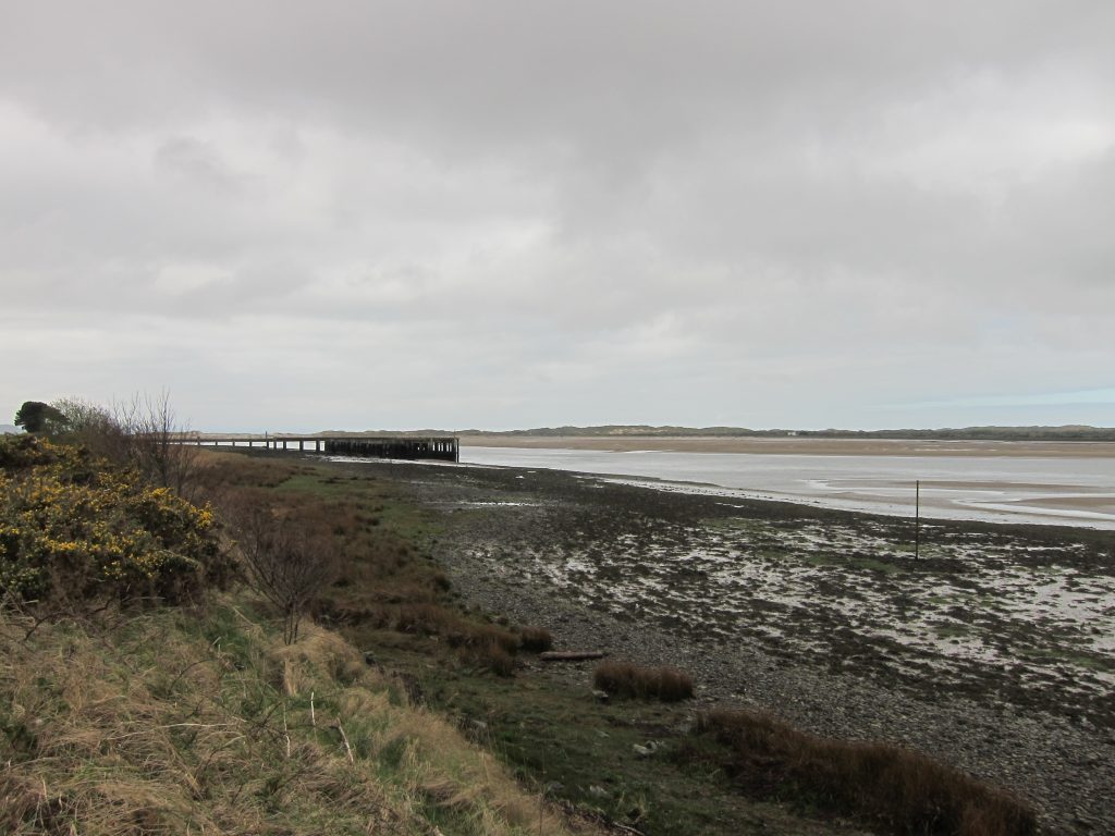
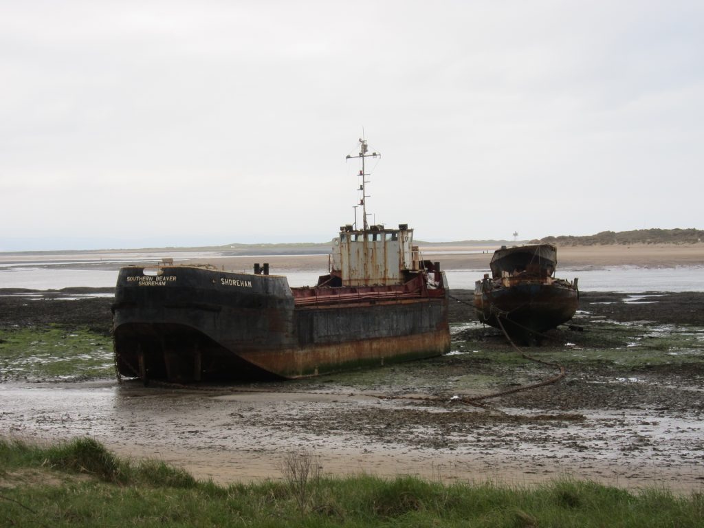
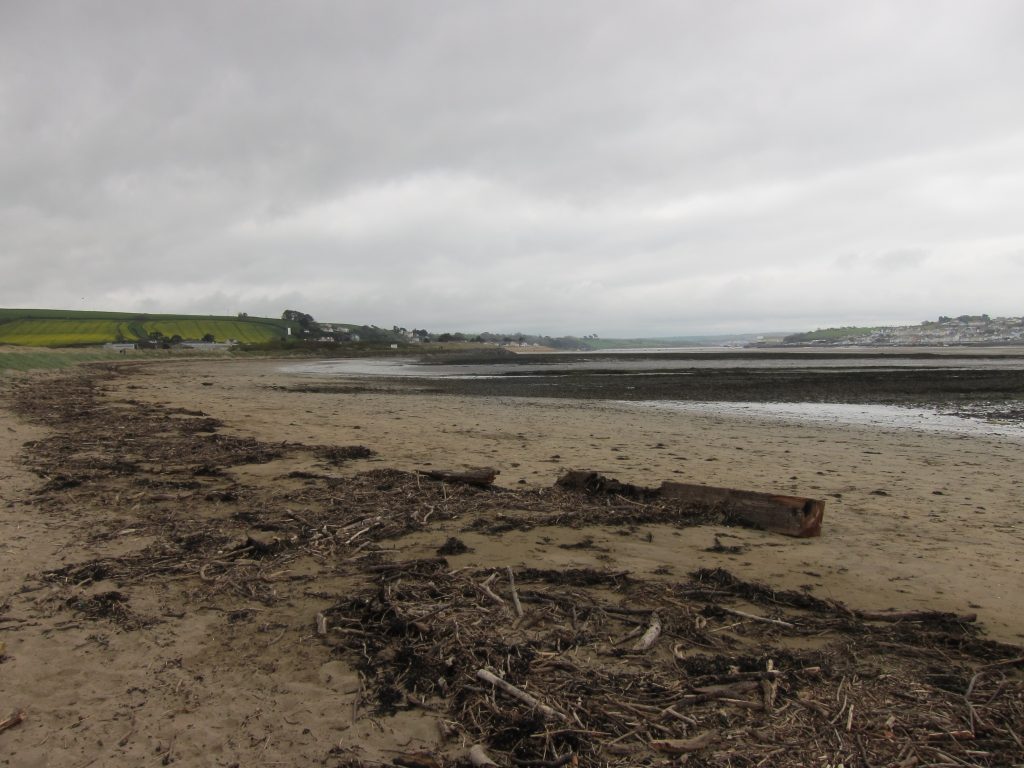
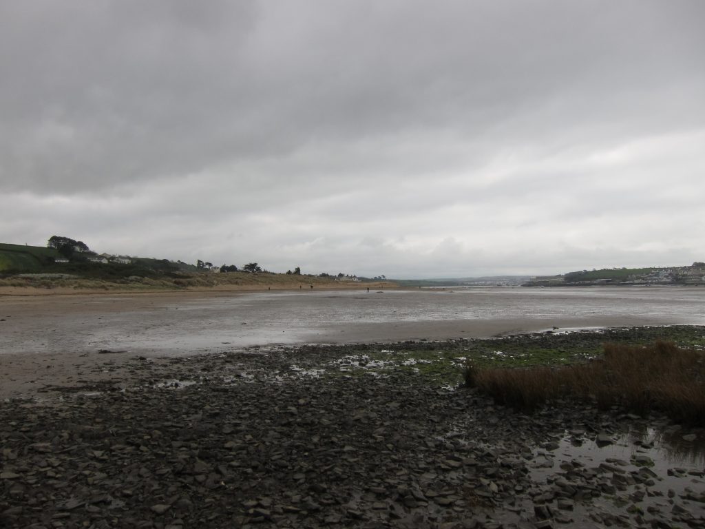
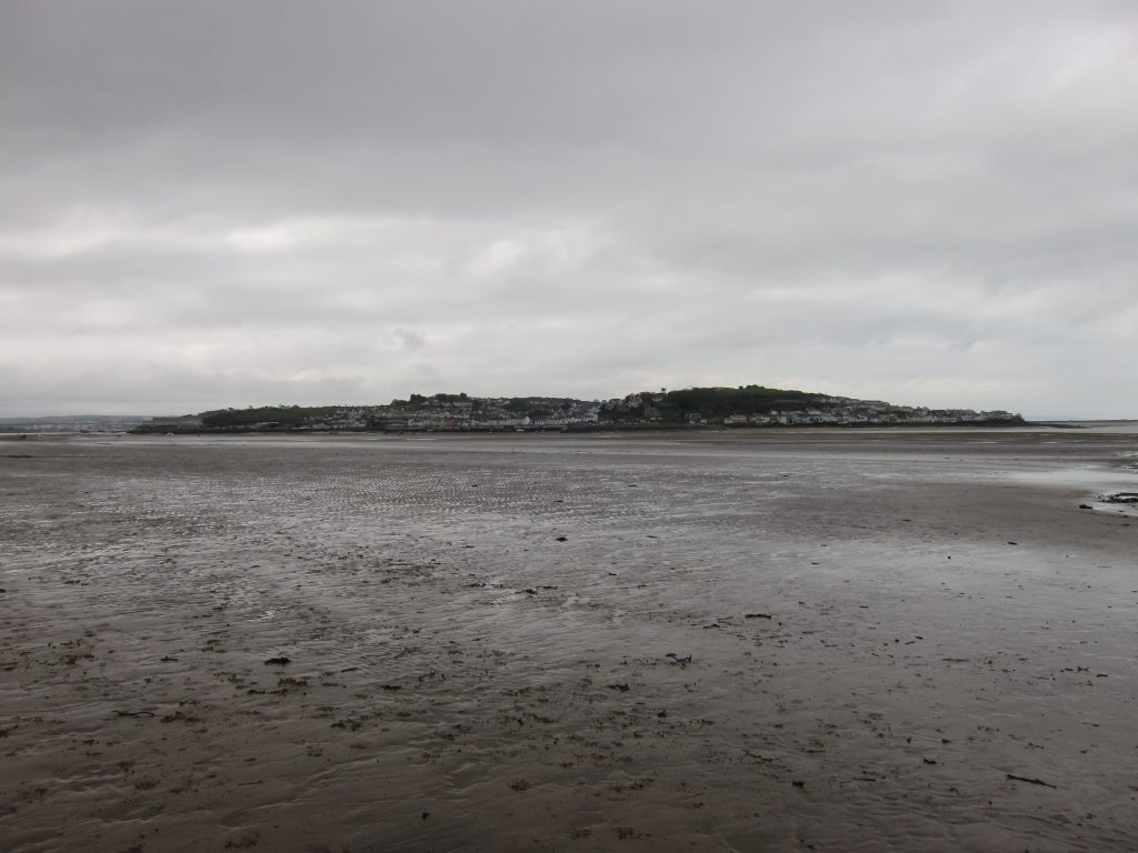
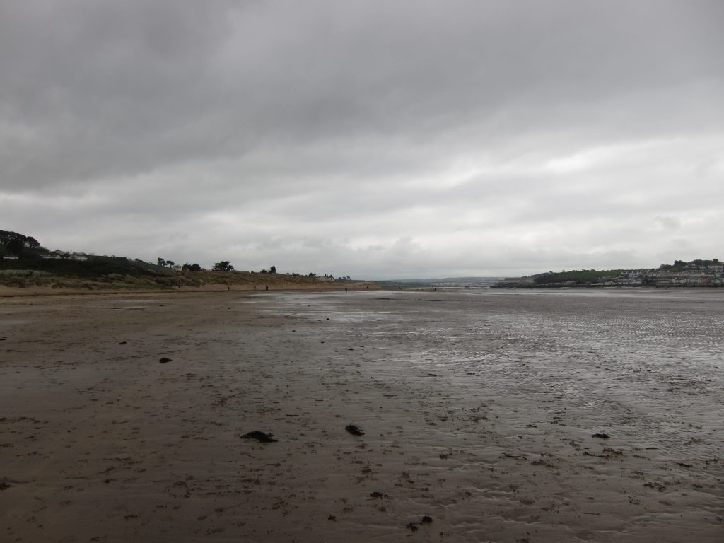
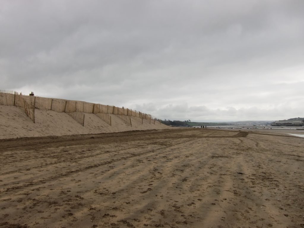
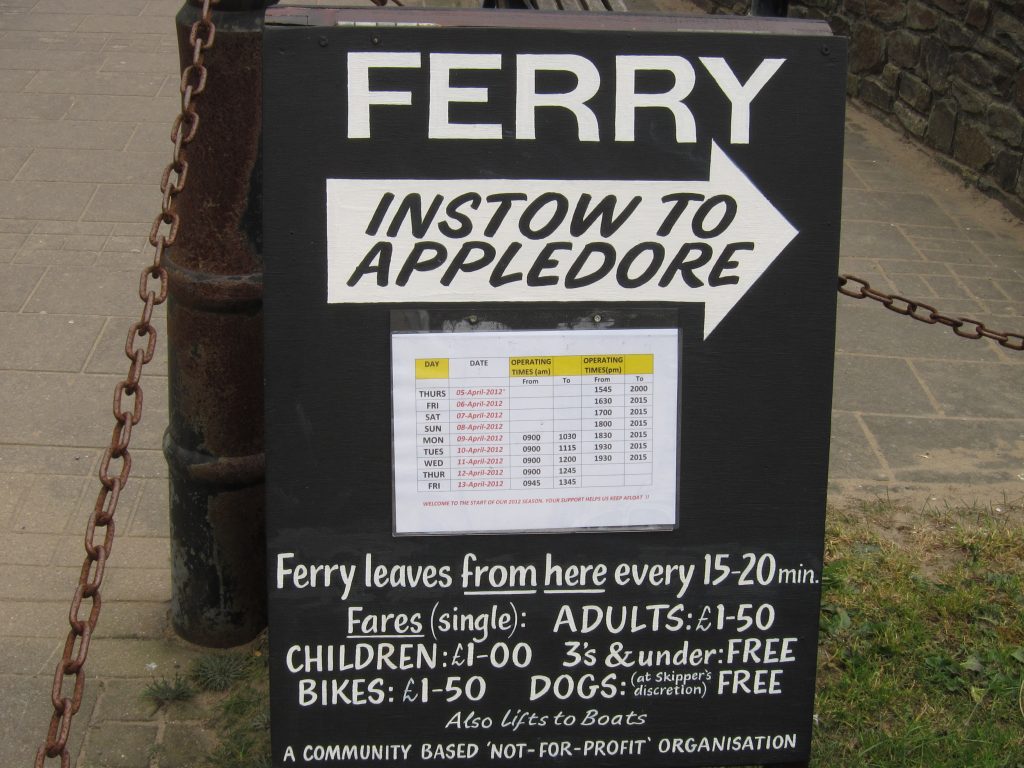
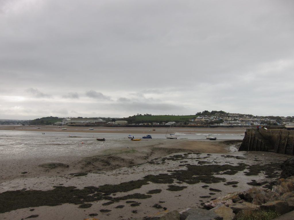
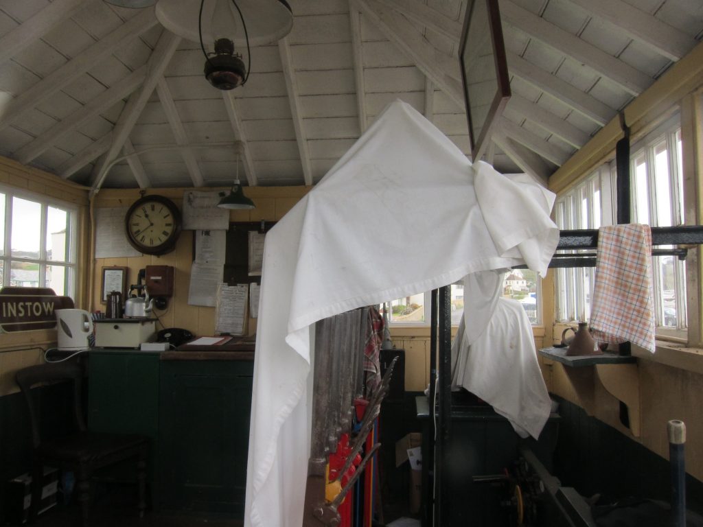
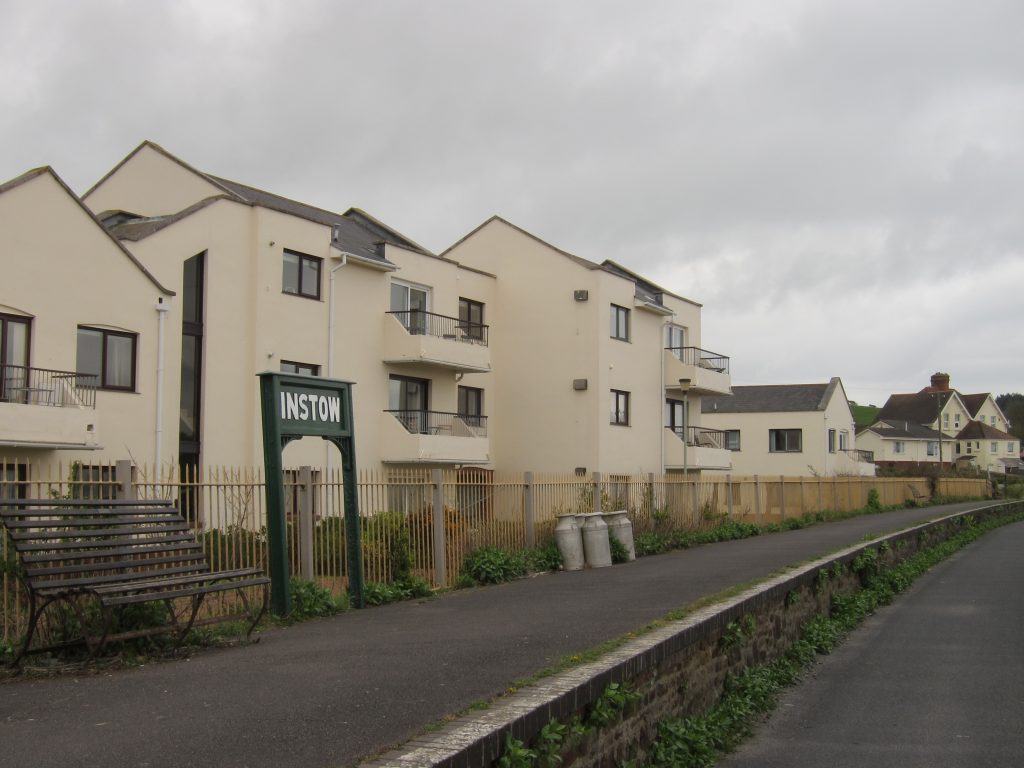
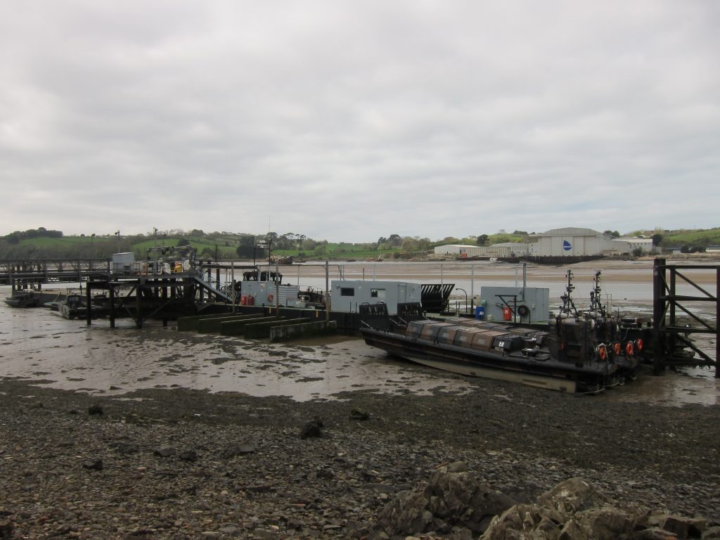
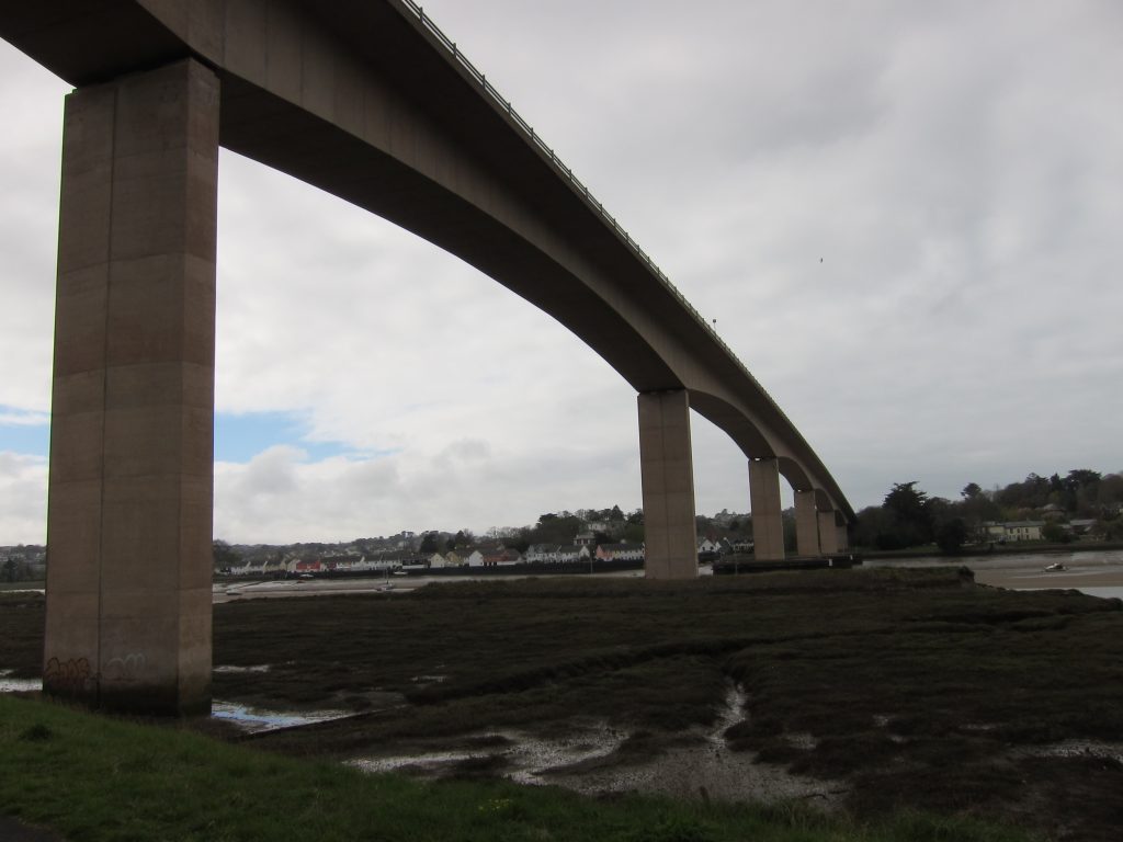
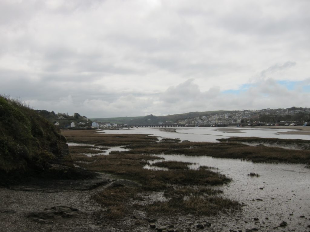
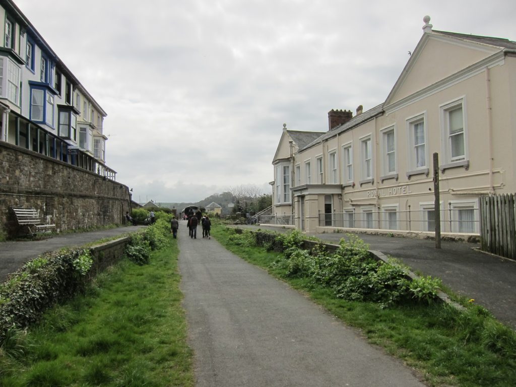
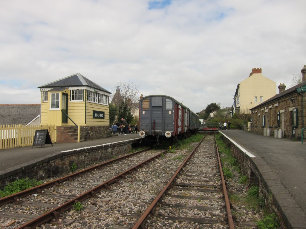
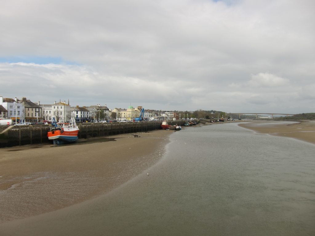
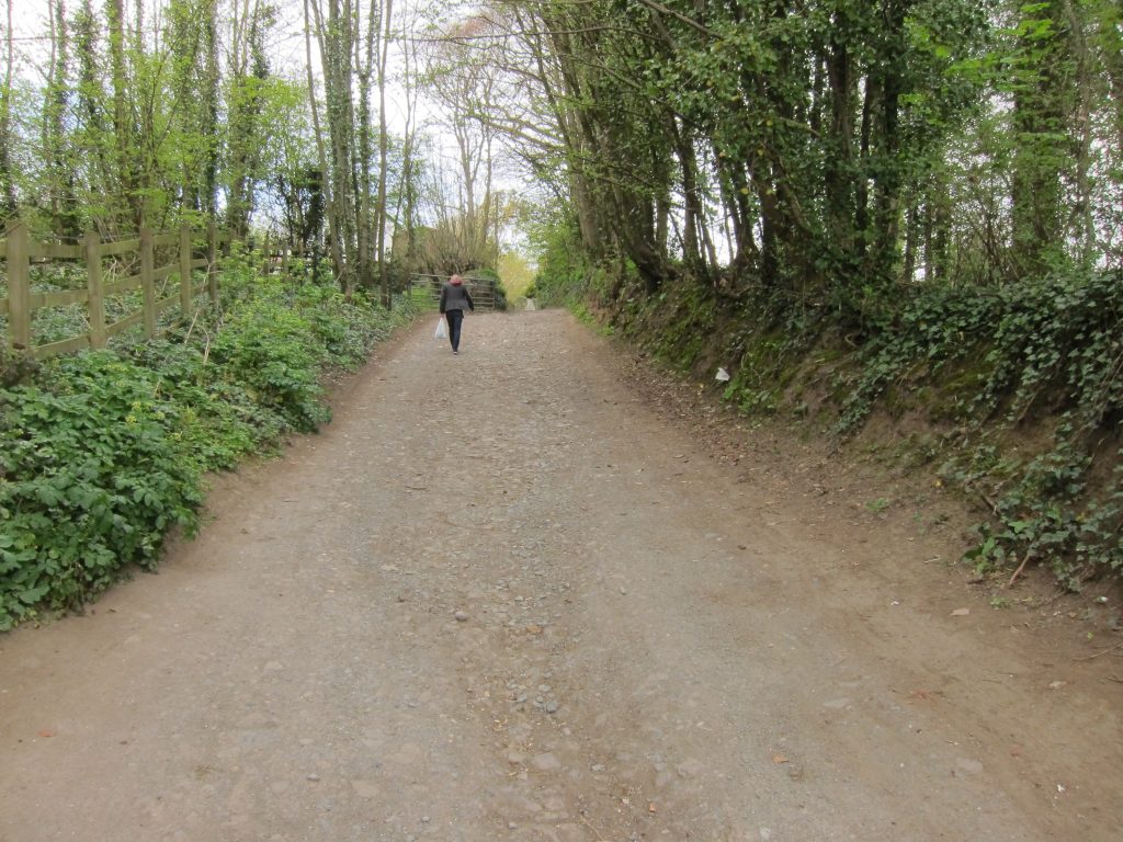
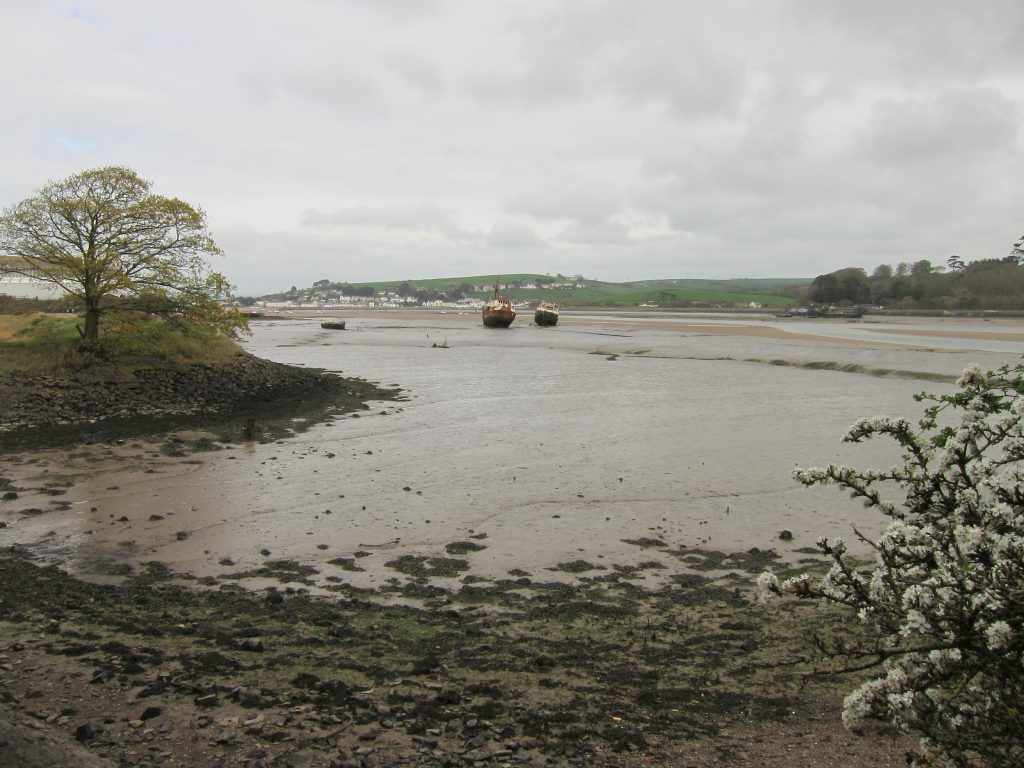
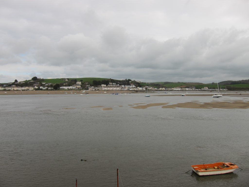
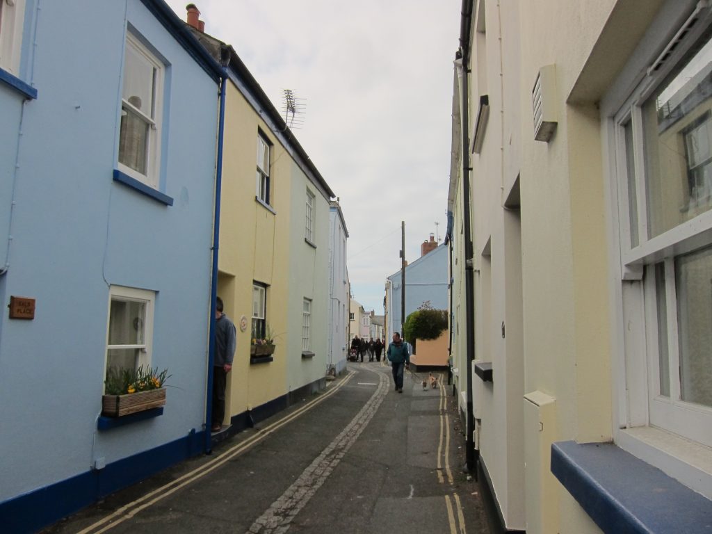
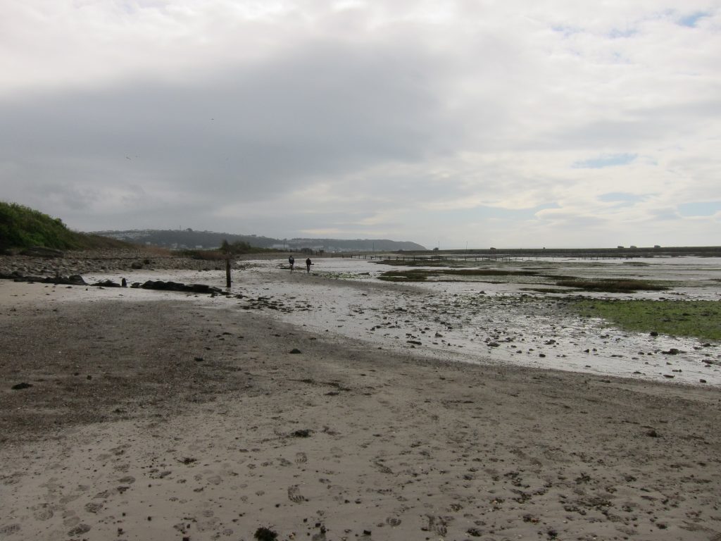
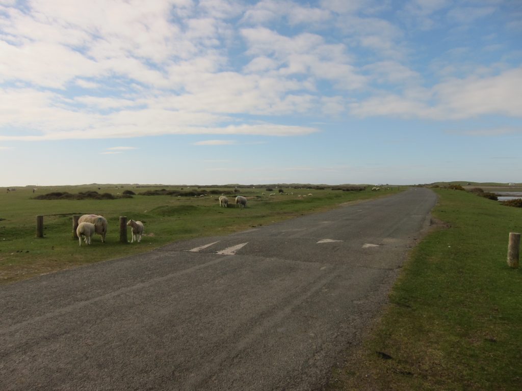
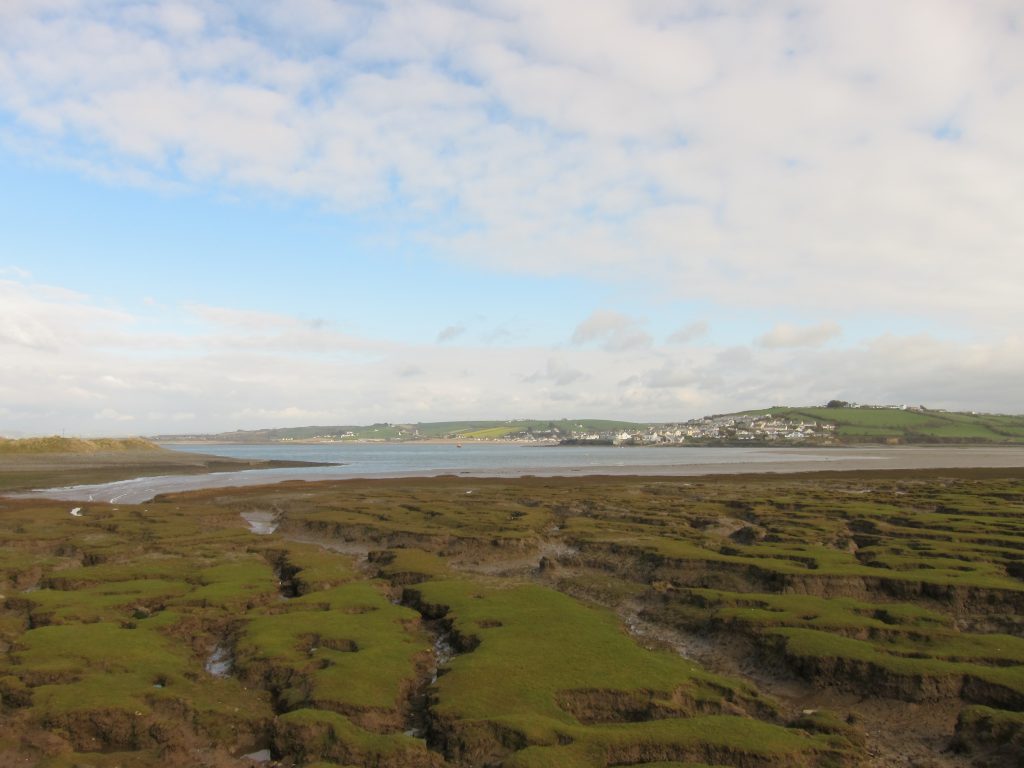
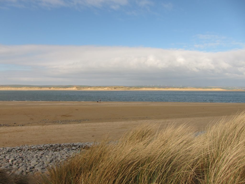
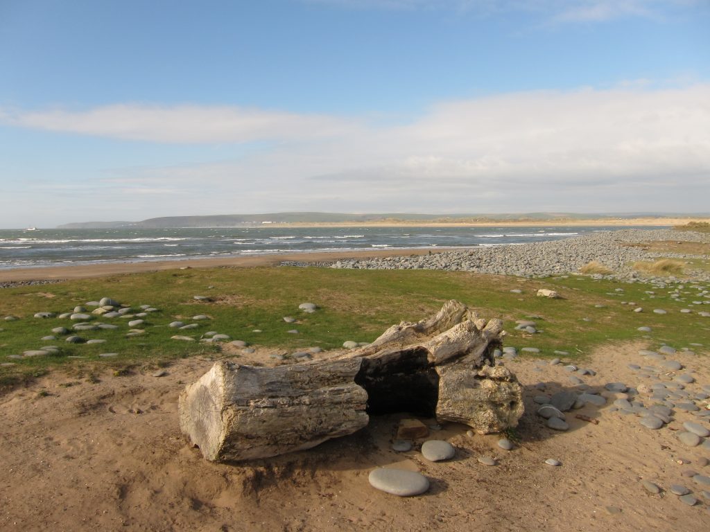
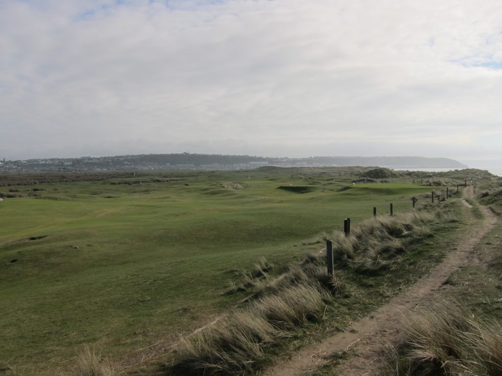
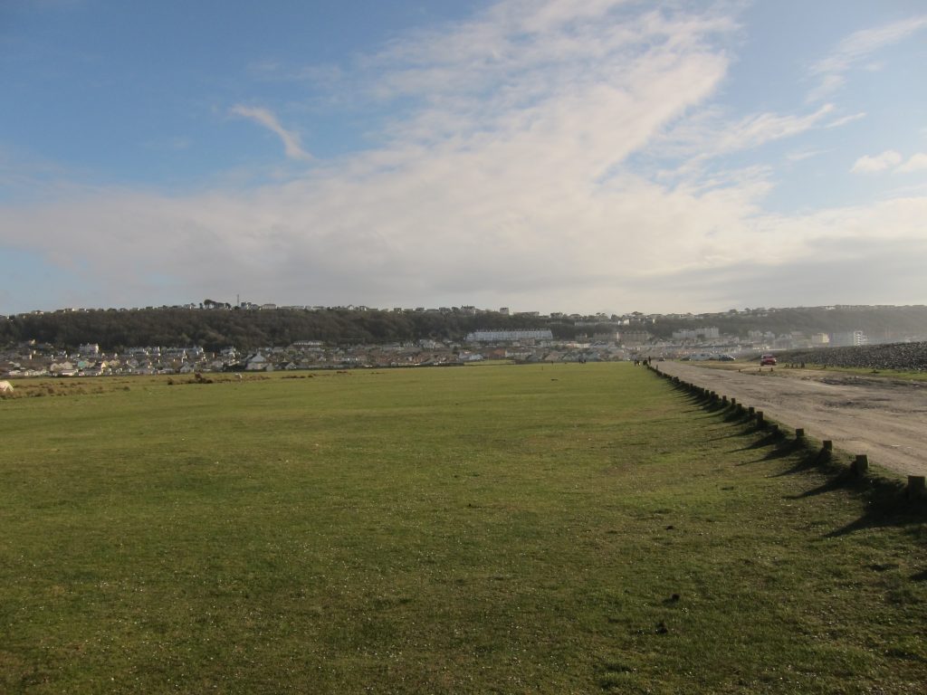
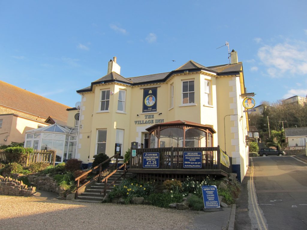
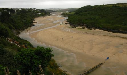
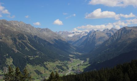
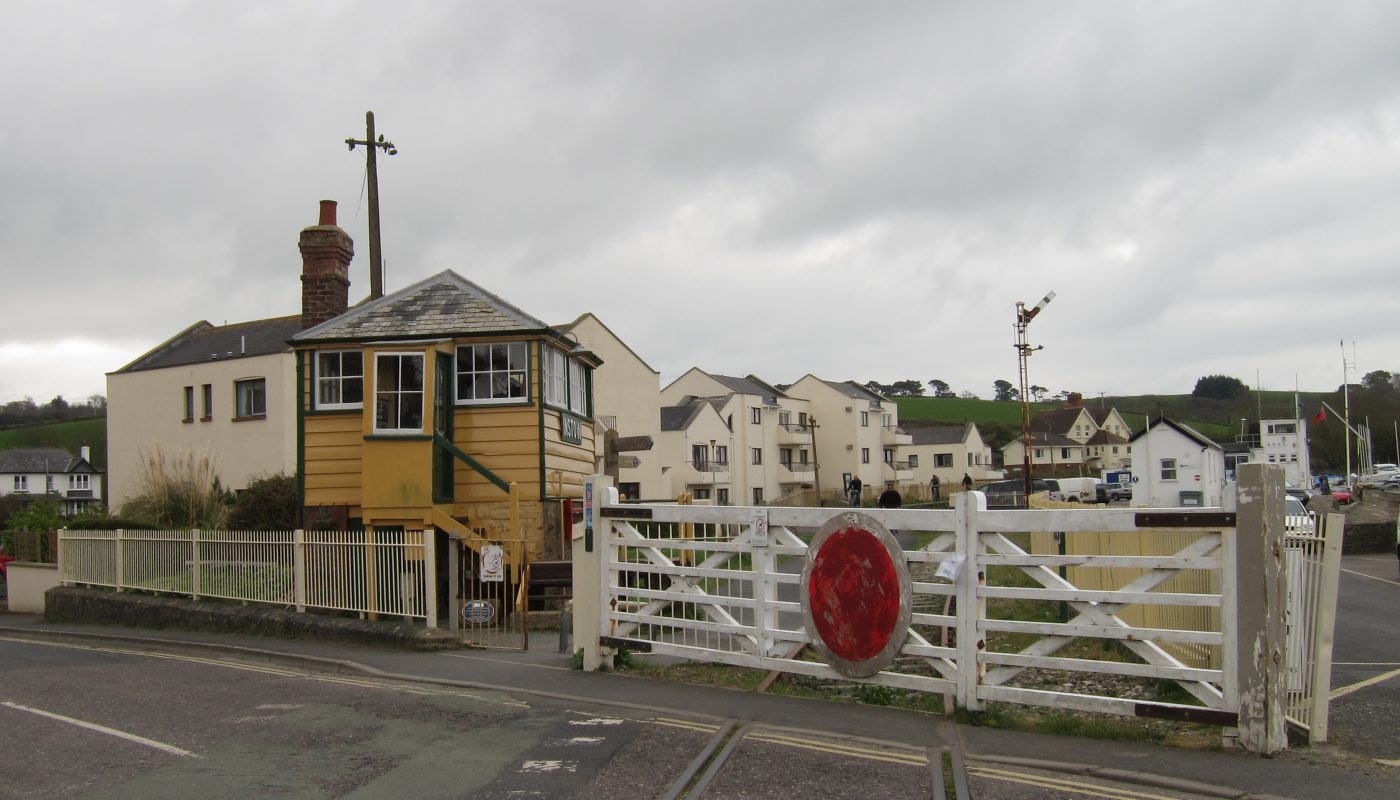
The first stage of the South West Coast Path continued along the route of the branch line from Barnstaple to Ilfracombe that I’d used through Braunton last night and this morning. While normally the guide book is full of phrases such as “turn left 100 metres after the first stile” and other precise instructions, here it just told me to walk the eight kilometres to Barnstaple, which was an easy instruction to follow. For quite a while, the path runs along the edge of the Royal Marines base at Chivenor, where there was a lot of motorised equipment on display, though I didn’t see any people. The RAF also has a presence here including two Sea King search-and-rescue helicopters.Eventually free of the military base, the old railway line runs next to the River Taw the rest of the way into Barnstaple, currently almost at high tide but the water ebbing fairly rapidly over the next few hours. On this northern shore of the Taw, I saw just two or three cyclists along the length of the cycle path (National Cycle Route 27) but lots of joggers.The whole route is a hard surface, nominally easy to walk on, but because it is cambered to drain rain water off the surface, it is actually more difficult to walk on than might be expected – you need to walk on the side to keep out of the way of cyclists, and so are constantly walking on an angled surface which is tiring after a while.Arriving in Barnstaple, the new Taw Bridge carries the A361 over the river, and offers a new alternative route for the SWCP, but I chose to continue into the town proper. The vehicle driving along the cycle path was full of drift wood which the chap driving it had been collecting from the river bank. I was intrigued by the concrete wall which raises the height of the river wall and offers additional flood protection: nothing odd so far, but just under the bridge there is a three-metre gap in the wall, appearing to render the entire length of much reduced effectivenessThe old Barnstaple Town station building, once on the Ilfracombe branch and also acting as the terminus of the narrow-gauge Lynton and Barnstaple Railway until it closed in 1935. The station on the other side of the river which I used for my departure after my walk to Woolacombe and my arrival before the walk onwards from Woolacombe, now called just Barnstaple, was previously called Barnstaple Junction (though was originally just Barnstaple before 1874).The final stretch of riverside walking as I approach the 16 arches of Long Bridge. A plaque by the bridge records that it was built in the 13th century, and widened in about 1796 and again in 1963. Other sources record that it was also widened between 1832 and 1834, though that work was undone in the 1963 works. Having crossed the river, there was an underpass under the approach road to the new Taw Bridge, and then I quickly left Barnstaple behind, and I am now following the route of the North Devon Railway, a company whose line had a somewhat convoluted early history but which eventually ran from Exeter through Barnstaple, past Bideford to Great Torrington. The section from Barnstaple to Torrington closed to passengers in 1965 and to freight in 1982. Although only two or three cyclists passed me on the northern bank of the Taw, on this southern bank I was probably passed by two or three hundred as they were out in droves on a fine Saturday of the Easter weekend.At Fremington Cutting, clearance work has removed a lot of birch and willow and left the cutting more open and home to a range of flowersAt Fremington Quay there is a café in what may initially appear to be old station buildings and an old platform, but all are modern creations. However, I think that the wall on the right of picture is the real platform edge. The station here was important as it was next to the quay, which was the busiest port (by tonnage) between Lands End and Bristol, particularly exporting ball clay and importing coal.About to cross Fremington Pill on the old iron railway bridge. To the right are lime kilns.Boats on the mud of Fremington PillAfter what must be the straightest section of the South West Coast Path (about three kilometres without a bend), I reach this signpost. My guidebook only says to turn right, not even suggesting the alternative. Continuing along the railway line route is shorter and likely to be easier, but Coastal Route is hard to resist after all this inland walking, even if it is something of a misnomer as it is several kilometres from the true coast, but is at least alongside the estuary.The view from the “coastal route” across to Braunton where I started this morningOne of two large jetties here, constructed for offloading of coal for Yelland Power Station, long since demolished.Two wrecks add interest if not beauty to the foreshoreThe low tide route of the SWCP then takes to the sand and mud as I leave the estuary of the Taw and join that of the Torridge.The sandy mud was quite wet but firm enough to walk onHeading for Instow, a look across the river at Appledore, which I will visit in a few hours.Looking up the River TorridgeSome sand dune protection works at Instow. The route soon takes to the pavements of Instow, and I stopped at a kiosk for a drink and a delicious chocolate ice cream (in a thoroughly boring cheap cone – waffle cones don’t seem to have made it to this part of Devon). The lady looking after the kiosk had repainted it earlier in the week, and was now repainting her sign to match the kiosk: I was her only customer.A little further on is a sign for the ferry to Appledore – though the big letters say “every 15-20 minutes”, consultation of the timetable above those words shows the first ferry today is at 1700, almost four hours from now.A glance across the river shows why – no water. In fact, it would be almost as quick to sit and wait for the water to return as to walk round, but then I would be skipping part of the walk, too, so it’s hi-ho for Bideford.After a short walk around the river wall from the ferry, I reach the railway line and Instow signal box. The signal says it is safe to proceed, which doesn’t seem right with the level crossing closed – or that missing bit of rail on the pavement. Of course, it’s a bit of attractive make-believe, as the rails stop just behind me and stop by the signal.The signal box is over 130 years old and was the UK’s first Grade 2 Listed signal box. It is open to the public occasionally but sadly not today.A little further on, the platform has milk churns, but no rails. Having had the interlude with the “coastal route” of the Coast Path around East Yelland Marsh, across the beach and mudflats to Instow, it is now back to the old trackbed for the walk south along the River Torridge to Bideford.As I continue along the river, a set of military boats are tied up to a jetty In a very similar arrangement to Barnstaple, the approach to Bideford is heralded by the modern Torridge Bridge, a harbinger of the ancient Bideford Long BridgeThe 24-arched bridge was originally built from wood in about 1286: between 1460 and 1500 a masonry bridge was built using the wooden bridge as scaffolding, allowing the bridge to remain open during construction. It was widened at the end of the 18th century, and again around 1865 and 1925.Platforms at Bideford station, in East-the-Water.Although it would be good still to have the option of catching a train (though the South West Coast Path would then be left without a route), these remaining stations and signal boxes are lovely, and it is a shame there aren’t more of them at closed railways around the country, this one being popular with the many cyclists on the old track bed as a café and information centre.Crossing the Long Bridge, a look downriver towards the new Torridge BridgeAfter working my way around Bideford, and a long way into today’s long walk, I am suddenly faced with what has been unfamiliar today – a slope! The rest of the walk had a number of small slopes, and though the small effort added to the long day, actually the variety of walking surfaces and angles made a wonderful change after so long on the cambered tarmac of the old railways.I stopped for a final refuelling for the last two and and bit hours, with more views of the River TorridgeAt Appledore, the view from the ferry landing back to Instow. There is a good deal more water in the river than when I saw it from the other side. It’s exactly four o’clock, so I’ve saved an hour, walking round in 2 hours 35 minutes rather than waiting 3 hours 35 minutes for the ferry. And I’ve walked the full Coastal PathWalking through the narrow streets of AppledoreOnce through Appledore, it is another low tide route to Northam Burrows. Westward Ho! is ahead but the South West Coast Path takes one last diversion around Northam Burrows before heading for the town. Somewhere around here, I re-enter the North Devon Area of Outstanding Natural Beauty. It’s a bit surprising that none of the estuary comes within the AONB, particularly the bits on the south of the Taw and east of the Torridge, but it’s good to know that the landscape is now officially outstanding again.Having crossed the small Appledore Bridge, I am now in the Northam Burrows Country Park, a delightful areaThere are views across Skern to AppledoreAnd on the northern edge of Northam Burrows, I can look across the mouth of the estuary of the Taw and Torridge to Braunton Burrows. I was on the other side, about 1200 metres away, a mere 27 hours and 41 kilometres of walking ago. Now to return to the coast!The sea! To the left of the dunes of Braunton Burrows is the prominent white building which is Saunton Sands Hotel, which continued to feature prominently for most of tomorrow too. The promontory on the far left is Baggy Point I continue along the dunes of Northam Burrows, around the edge of the golf course which didn’t seem to be in use at the momentThe lake labelled as Sandymere on my maps seemed to have disappeared and to have become a slightly soft car park – perhaps it is a seasonal lake, only there after rain. The route continued along the track behind the steep Pebble Ridge, with Westward Ho! gradually drawing nearerAfter a short walk through the town, here is my home for the night, The Village Inn, a welcome sight for a weary traveller after 39.3 km (24.4 miles).
I rested for a while. I had been asked if I wanted to reserve a table but declined, partly because I didn’t know when I would feel like eating, and partly because I hadn’t seen the menu at that point. I thought that something in the bar might suit, but the bar menu was almost the same as the restaurant menu but with fewer choices, and neither inspired. I went for a wander around the town and found a cafeteria which wasn’t the most exciting of surroundings but was easy going, cheap, and provided decent food. On the way back I got some provisions from a Co-op for tomorrow.

 by
by