 by
by In which: it is very windy again ● I pass the first lighthouse of the journey ● the St Just Mining Landscape makes its presence felt ● I take a wrong turning ● Cape Cornwall is visited ● Land’s End comes into view ● I have dinner on my own again
Date: 22 March 2008
Time of walk: 0845 to 1550
Today’s walking: 22.4 km
Progress along SWCP: 18.8 km
Estimated ascent: 1100 metres
Breakfast was in the kitchen: it was all set up to look and feel like having breakfast in a farm kitchen, but it was a rather false experience, eating on my own with the cooked breakfast brought in from the pub kitchen and put in the range to keep warm or be warmed up while I had my cereal and toast in the faux kitchen. The cooked breakfast was quite satisfactory, but not a patch on yesterday’s. I left my suitcase, per instructions, once more unattended in the hallway of the B&B with a promise that the owner would take it along to St Just later. I had no doubts as to the good intentions of the owner, but was a little unhappy about leaving the suitcase unguarded once again.
The first couple of hours of this morning’s walk were solitary in the sense that I saw no-one else from the moment I left the Tinners Arms: after eleven o’clock I saw several couples, including the couple I’d chatted with last night. They’d taken an easier inland route, hence being ahead of me, but I rapidly caught them up and passed them. I think that now that they had reached the coastal path, they were finding it hard going: apparently the female half of the couple had been blown over three times already.
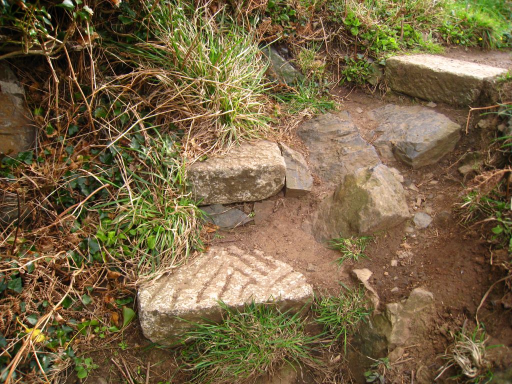
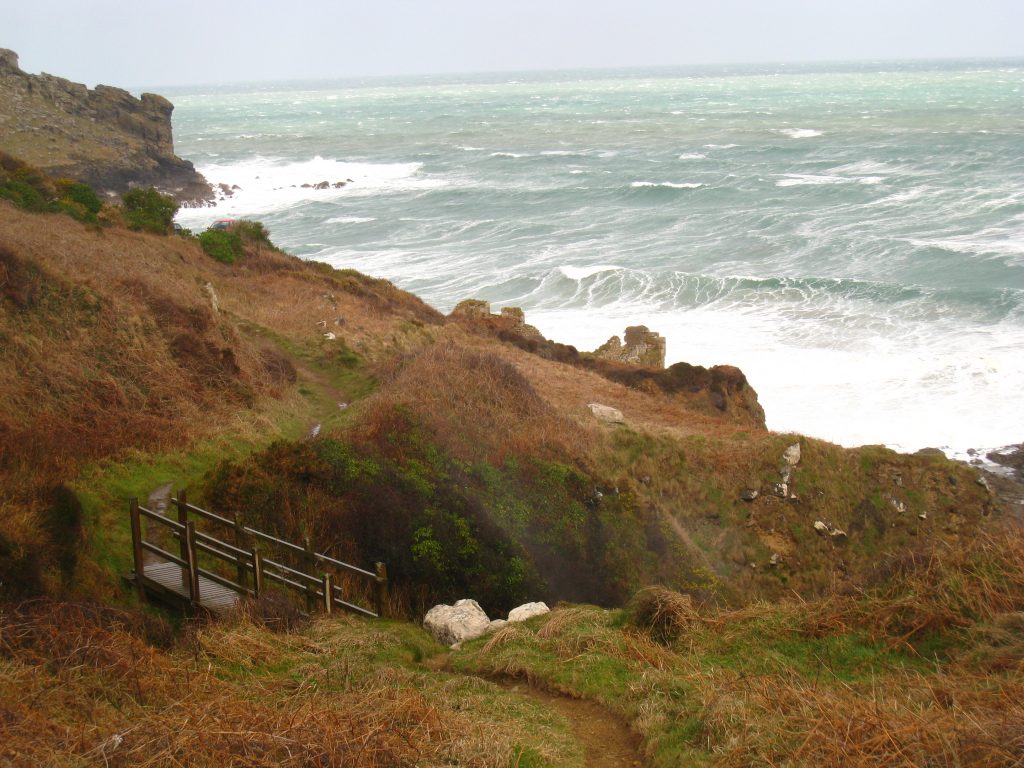
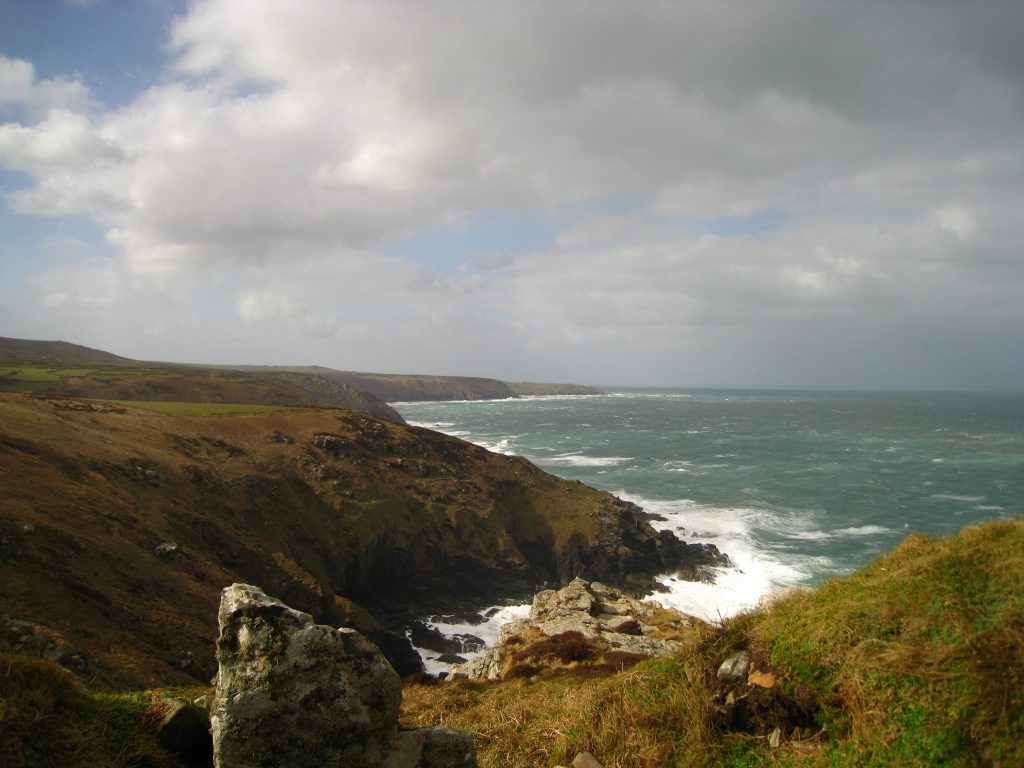
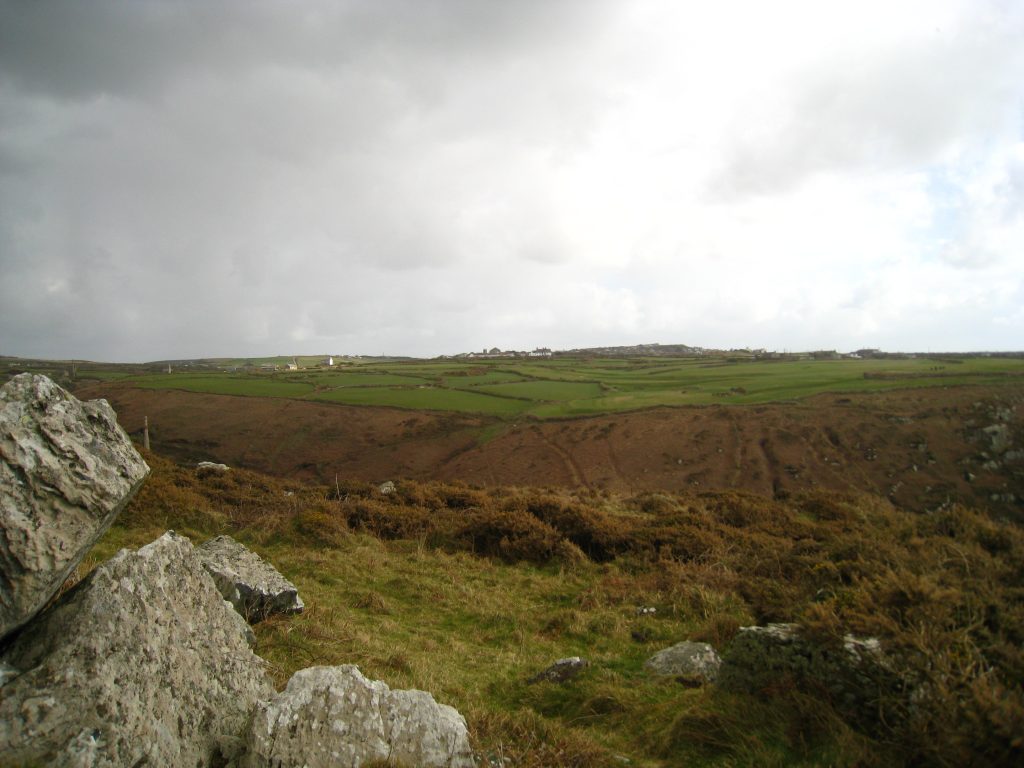
Part way through the morning, the character of the walk subtly changed, and there was much more cliff-top walking as opposed to side-of-cliff up and down walking. Perhaps the geological features which provided the tin mining opportunities also somehow lent themselves to a rather easier walk. Gradually the walking took on more elements of moorland walking, albeit edge-of-moor walking.
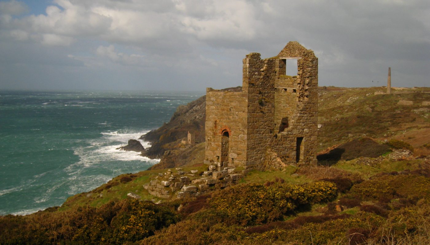
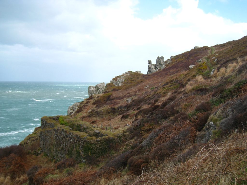
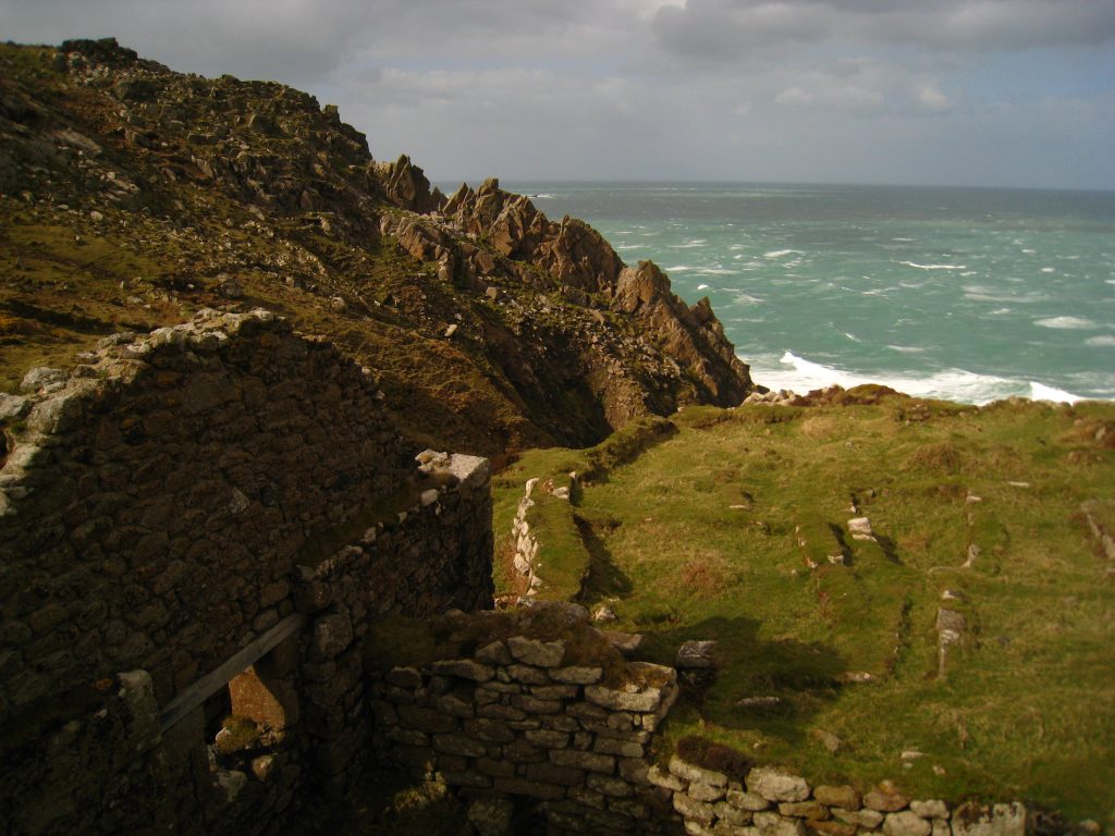
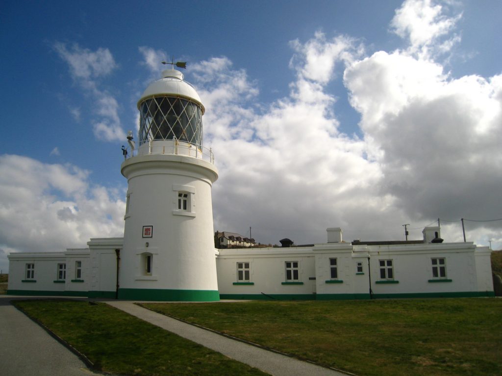
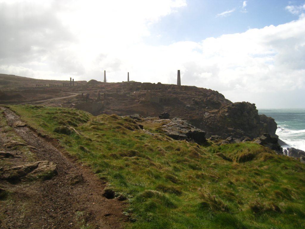
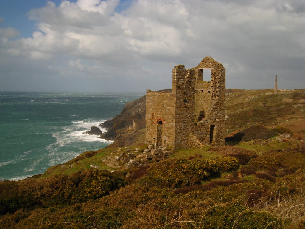
I reached Pendeen Watch lighthouse at about 12.30. I’d seen it from Zennor Head yesterday, and regained sight of it at about ten o’clock this morning, but such is the rate of progress that it then took another two and a half hours to reach it. I had hoped that it might be open for visitors, but alas not today, so I sat on a bench having my lunch, buffeted by the wind, with bits of hail landing around me, looking across to the more intense mining area. While I’d passed several mines during the morning’s walk, the afternoon was to be much more intense as we passed through the World Heritage St Just Mining Landscape.
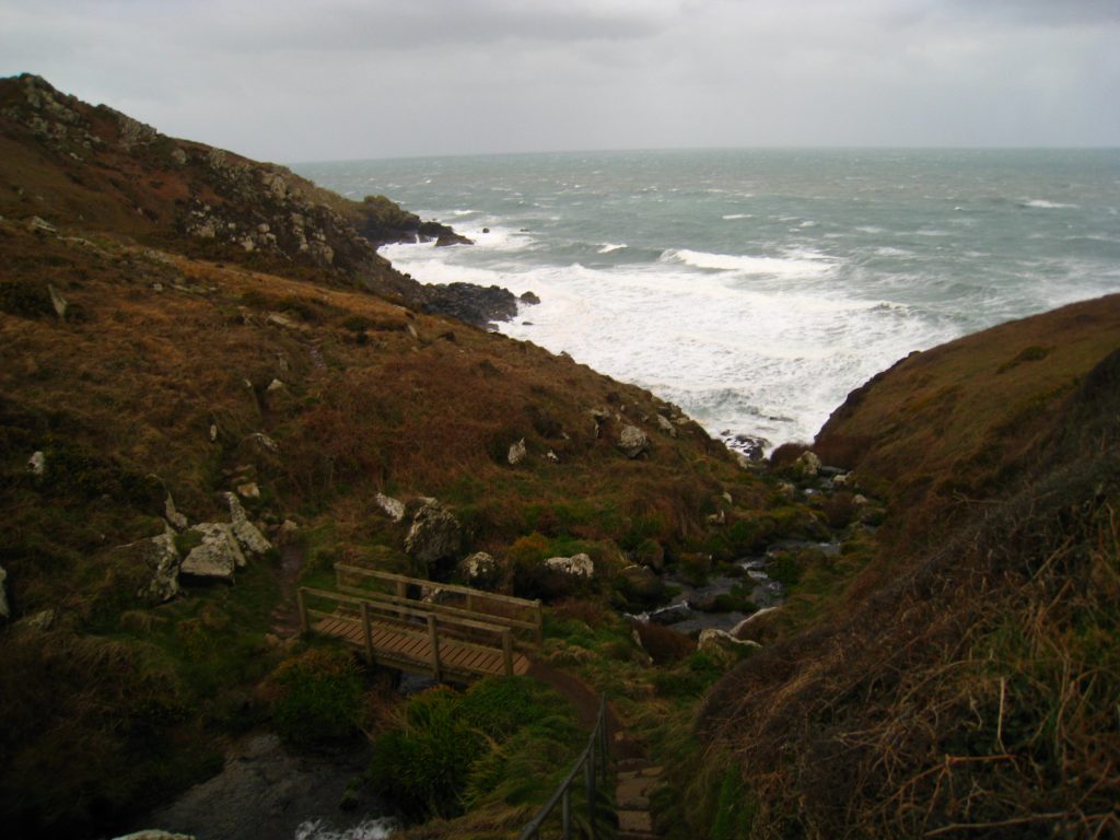
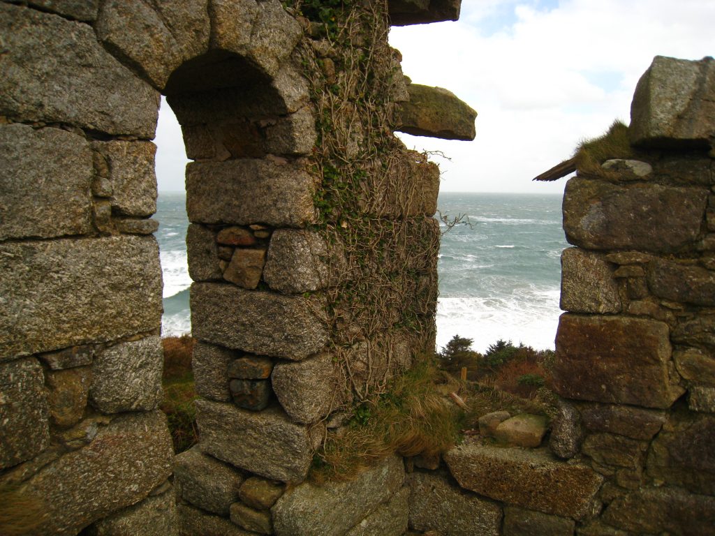
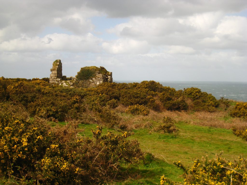
From Pendeen Watch there was a green and tranquil interlude, then suddenly we were thrown into the ugly yet fascinating industrial remains of the mining industry, having utterly destroyed the natural landscape yet provided its own interest. The older ruins were more picturesque – the natural stone and even brick complementing the natural environment even in their brutality and decay far more than the more modern concrete remains.
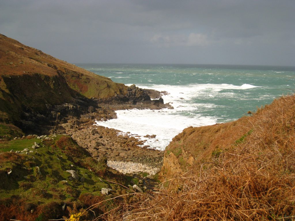
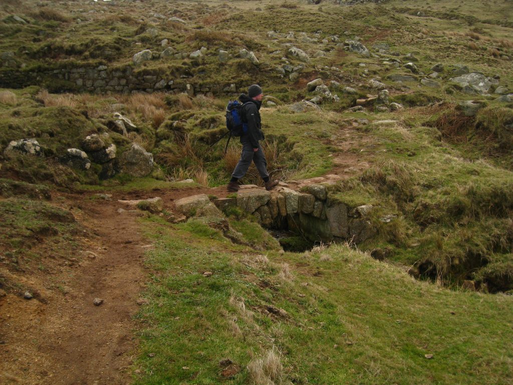
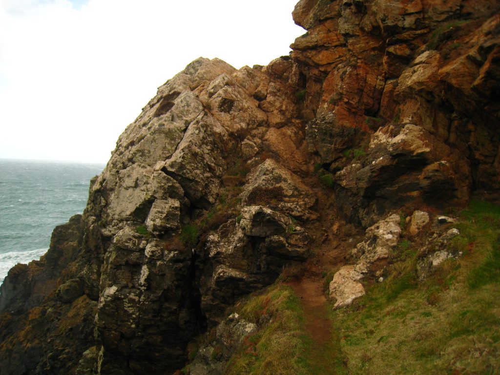
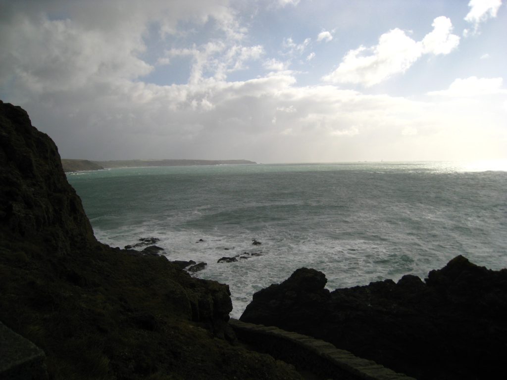
Along here I took a wrong turn, following a well-trodden track along the coastal route rather than a track for cars which I later realised I should have taken. Clearly lots of people had done similarly, whether in error or deliberately I don’t know, but the route, while dramatic on the cliff tops, was the most technically difficult of the walk so far, and in places amounted almost to rock climbing, which wasn’t fun with gale force winds buffeting me and precipitous drops down to the sea 70 metres below me. When I realised that was on the wrong route, I worked my way back from the coast to the track I should have been following.
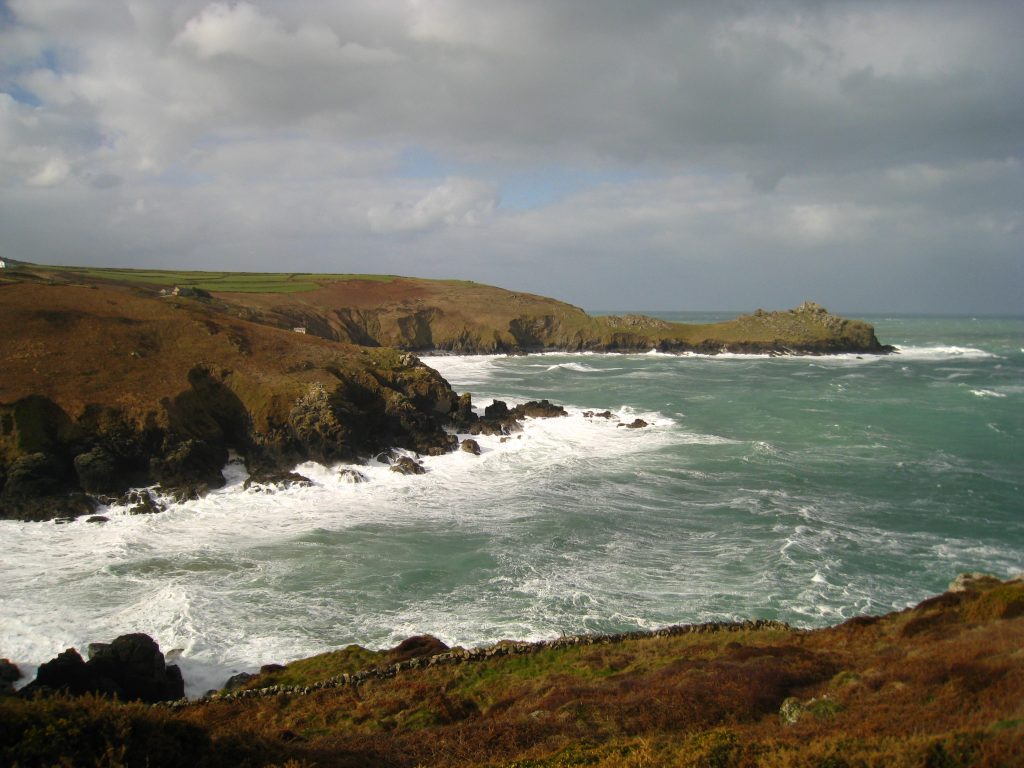
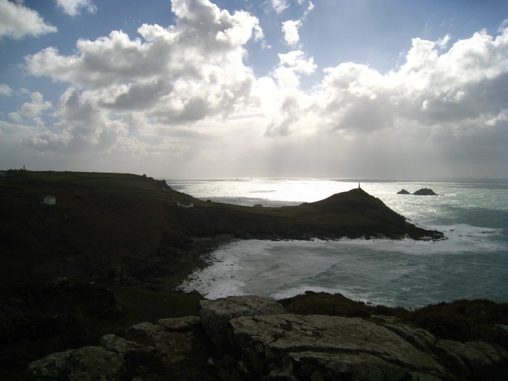
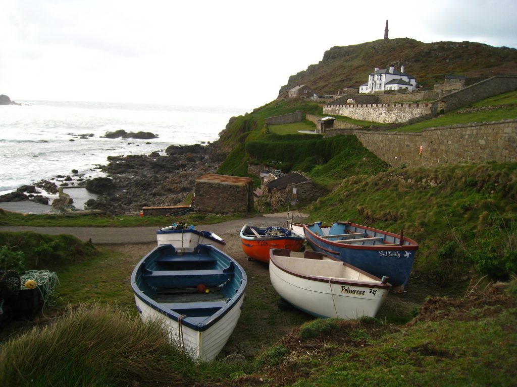
Once back on the SWCP I made good progress, soon coming in sight of the impressive headland of Cape Cornwall. My guidebook was rather dismissive of this, one of Britain’s only two Capes, saying it compared unfavourably with other headlands I’d passed, but I thought it looked rather splendid, almost a dome rising on its headland, surmounted by a tall chimney. There was a rather circuitous route down and up and round and about before I actually reached the path taking me off the Coast Path and on to the headland. I walked round the back and then up on to the summit of Cape Cornwall. The wind was fierce by the chimney, perhaps the fiercest of the two days so far.
To the south I could see Lands End, and out at sea the Longships Lighthouse, and faintly beyond it, Wolf Rock Lighthouse, with the sea glistening in the afternoon sunshine.
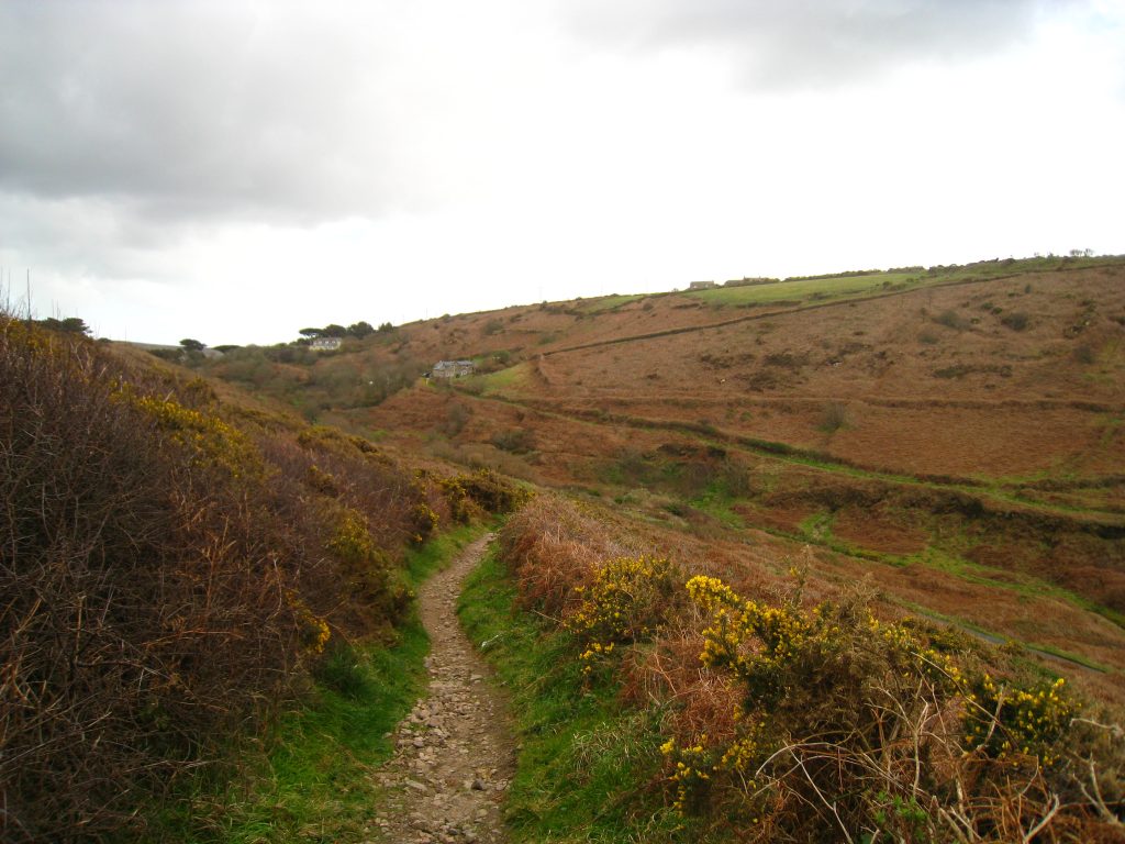
I now had the option of following Cape Cornwall Road directly into St Just, but I decided to follow my original plan and continue along the Coast Path into the Cot Valley, and reach St Just from there. This reduced the amount of road walking, and also makes tomorrow’s walk slightly shorter. The weather forecast for tomorrow had been rather wetter than today, which had remained dry apart from a couple of hail showers and a little light rain. I was also keen to try to have the opportunity to see the Telegraph Museum in Portcurno, whose last admissions is at four o’clock, so curtailing tomorrow’s walk by a couple of kilometres helps to make sure I get there in time.
The town looked to be a very dull and austere place at first, but the heart of it, in the square, was much more welcoming with shops and a series of pubs. My home from home for tonight was the Commercial Hotel – a 19th century coaching inn which has been in the same family for five generations. I was given a friendly welcome and I was shown to my room where my suitcase awaited me.
The room was officially a single room, but with a double bed, and therein lies all you need to know. Yes, a nice big bed, but there was barely any room for anything except the bed, and thus very little space for my suitcase, rucksack or other gear. I ended up putting my rucksack in the shower cubicle and the suitcase blocked access around the bed to the window and radiator.
I popped out and got provisions for tomorrow. I contemplated giving my dinner custom to a pub across the square, but plumped for dinner in my own hotel. I was the only customer for the first hour or so, and was well looked after by an attentive waitress. (I would expect to be well looked after being the only customer, but it doesn’t necessarily follow.) I had lamb chops followed by chocolate cake and ice cream – very indulgent.