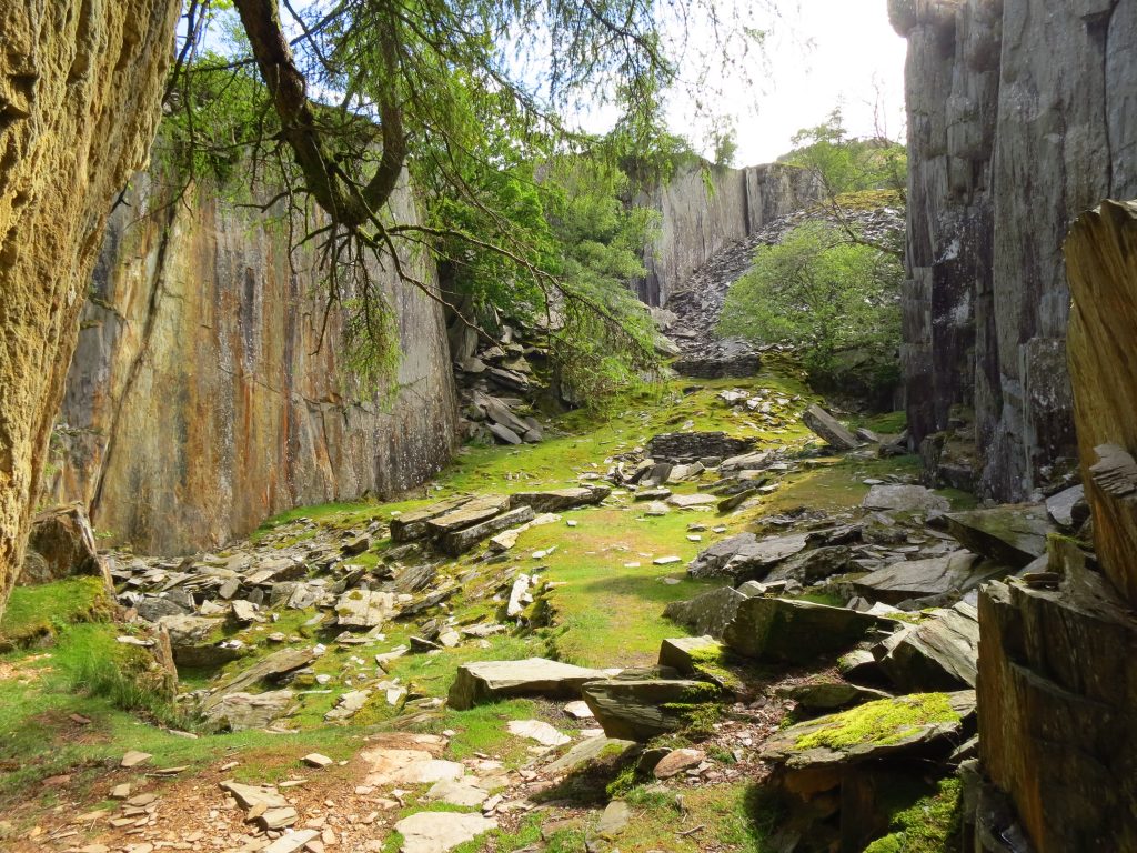
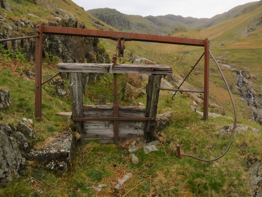
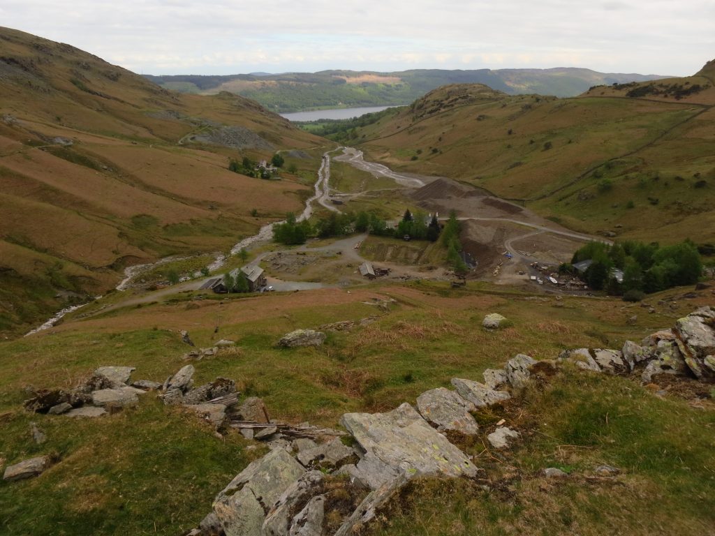
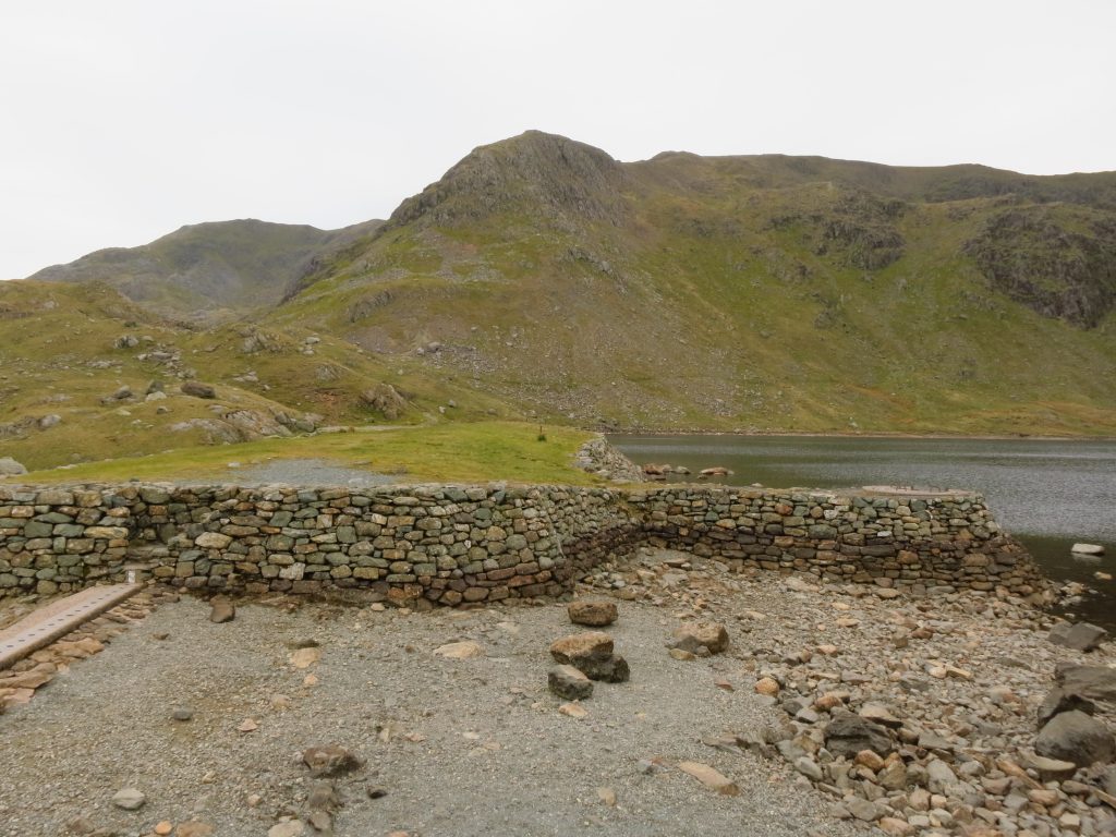
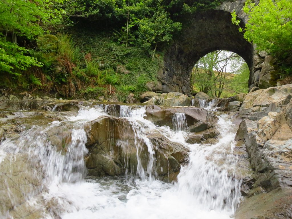
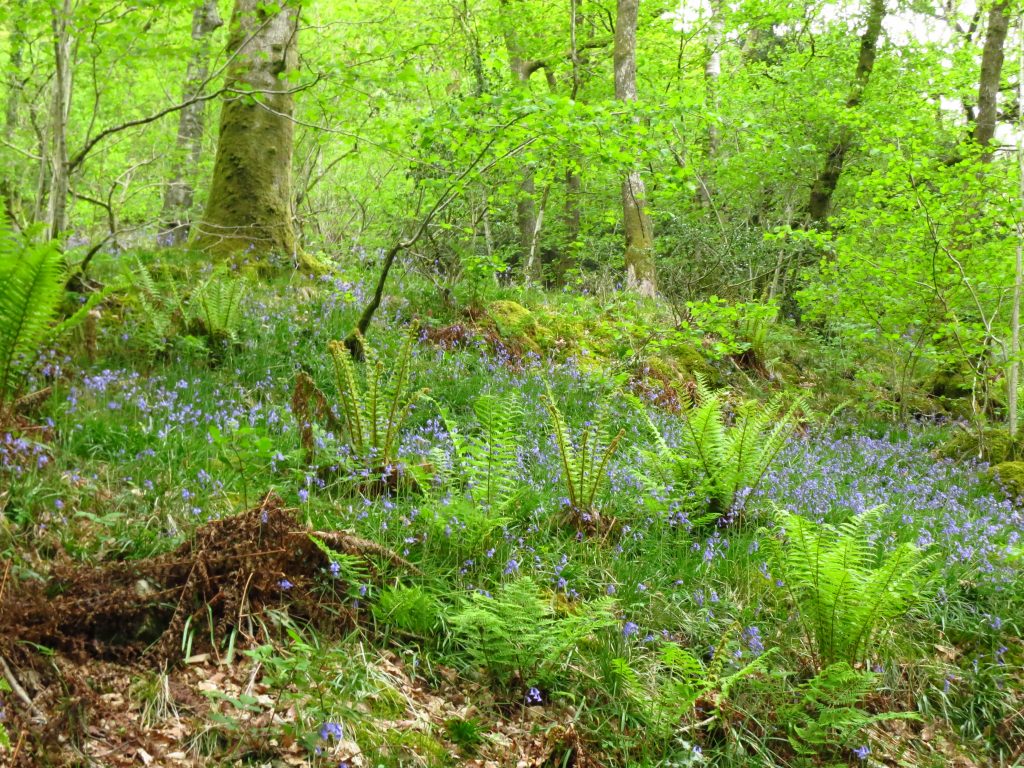
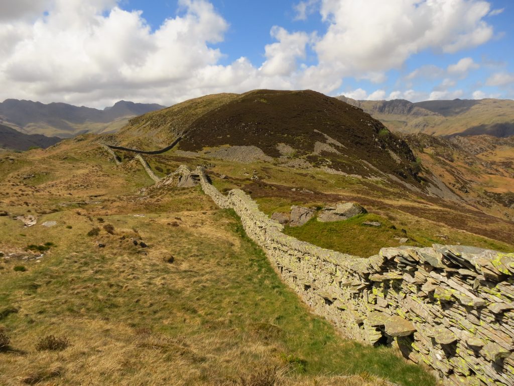
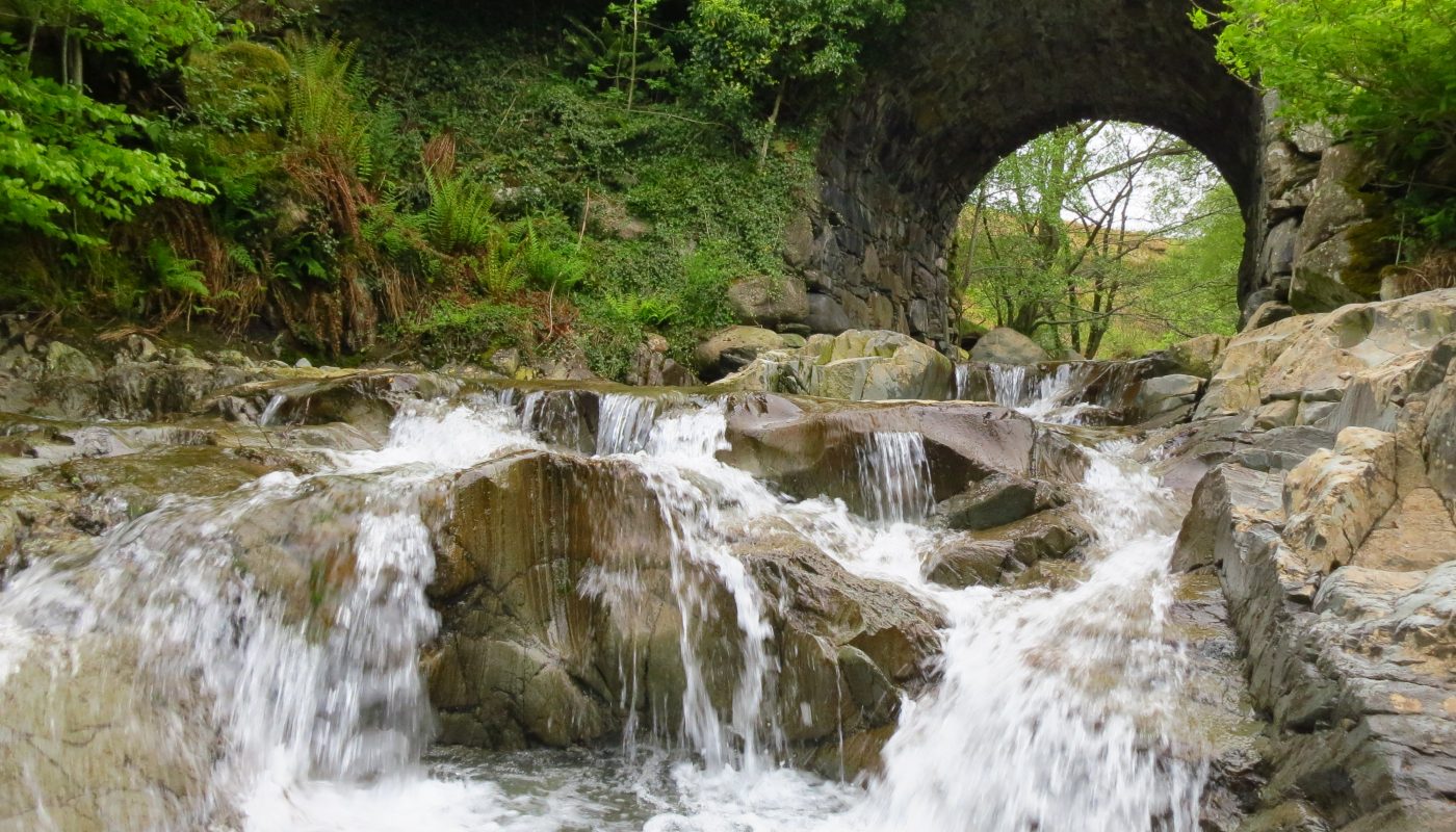
One of the Tilberthwaite quarriesExploring the old leat around Kennel CragCoppermines ValleyThe dam at Levers Water, with the water level 1.5 metres below the overflow.Church Beck at Miners BridgeThe woods below Mart Crag
Day 2 – natural world and industrial relics
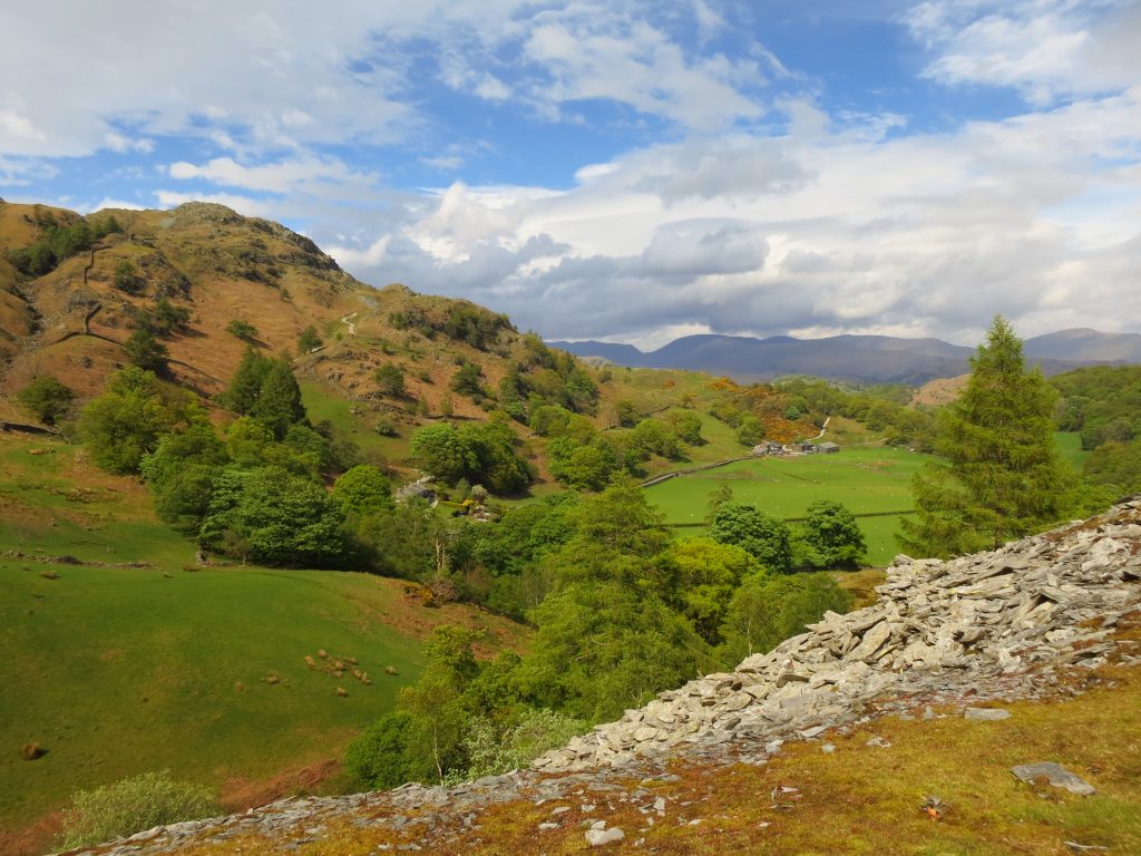
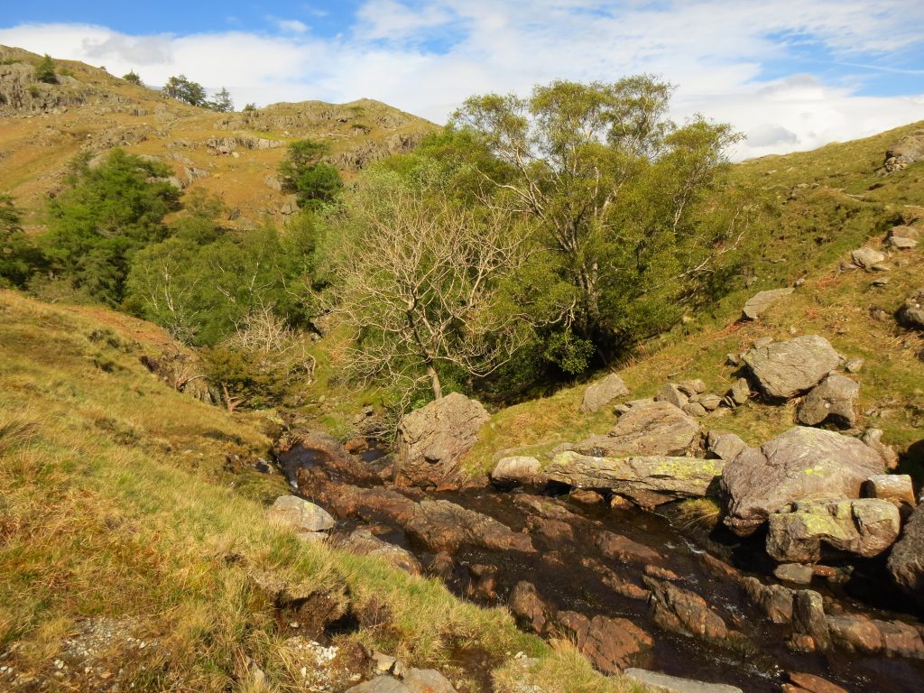
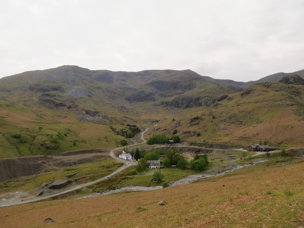
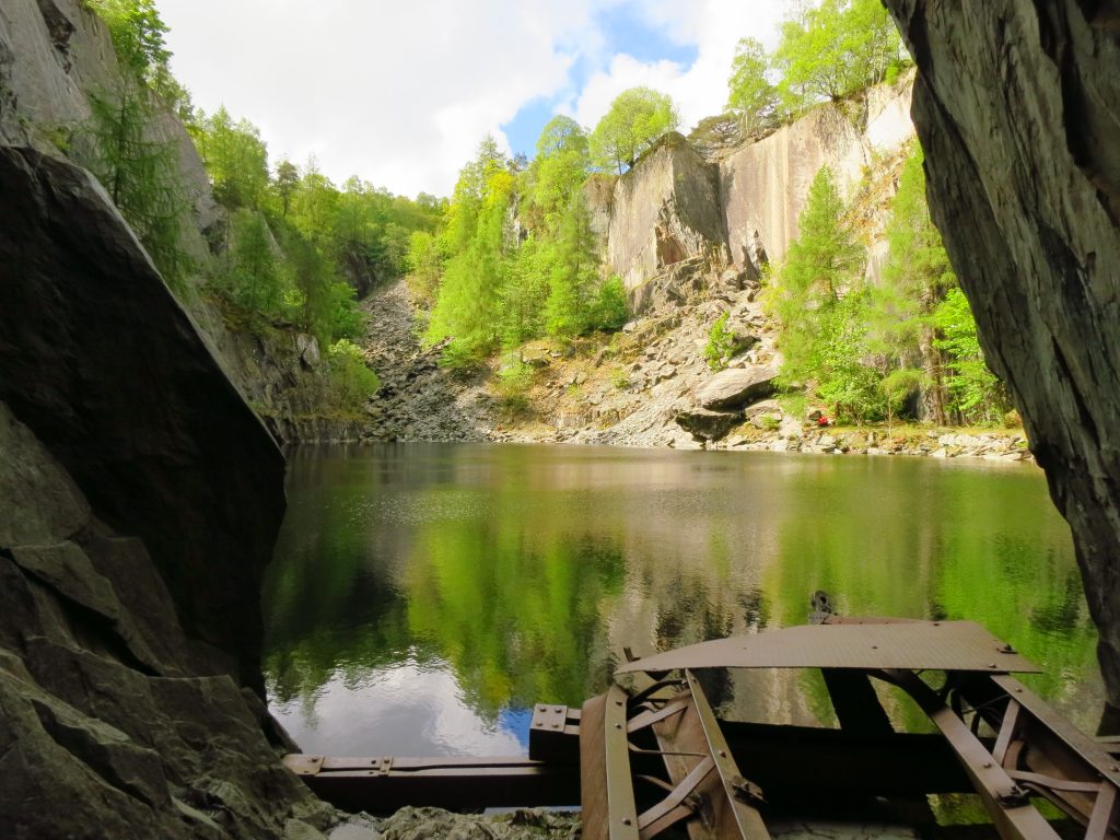
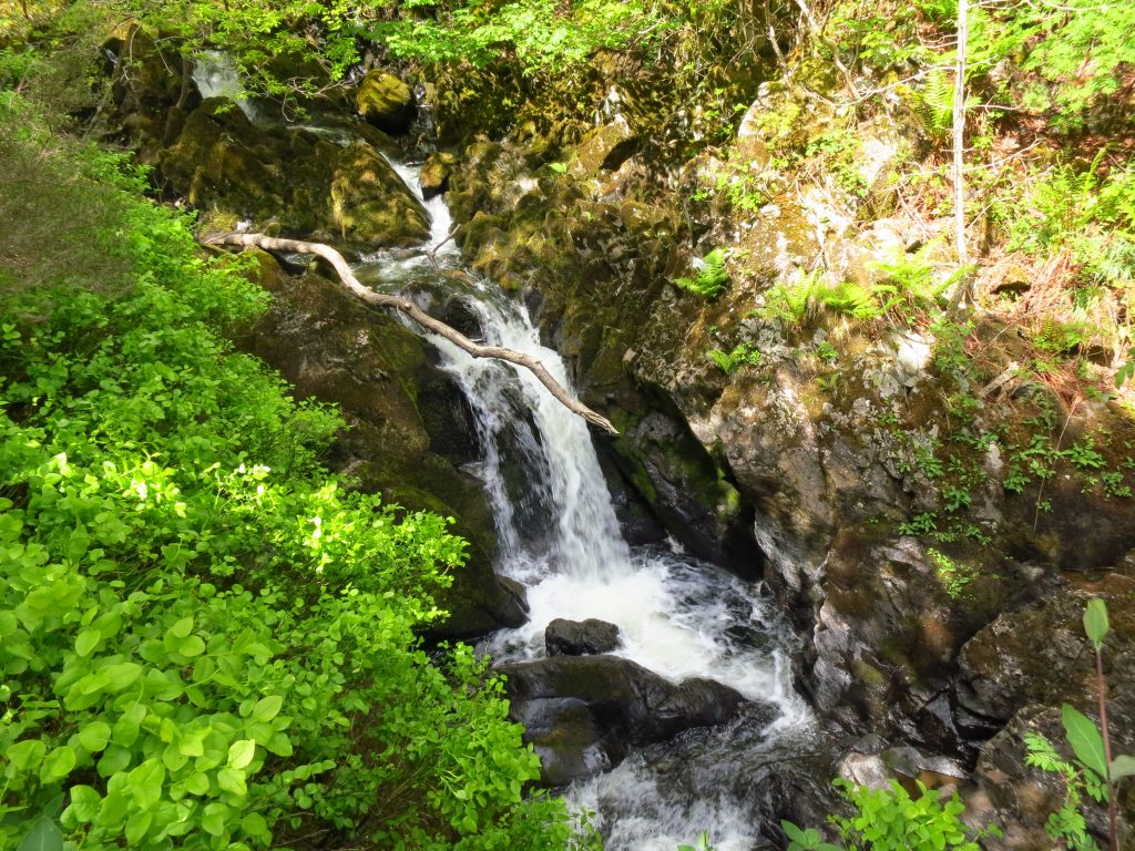
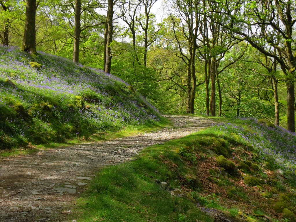
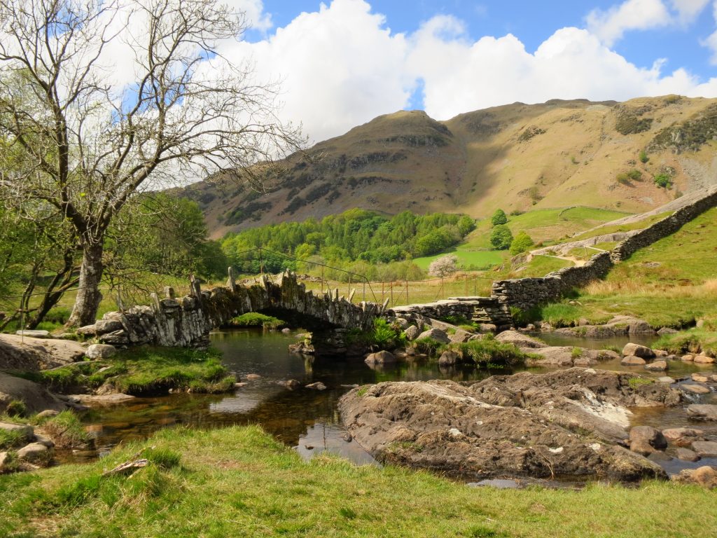
Hodge Close quarryColwith ForceSawrey’s Wood ascending an old mine road from ElterwaterHeading for the summit of Lingmoor FellDescending towards Little Langdale Tarn with the remains of mines near and farSlater Bridge
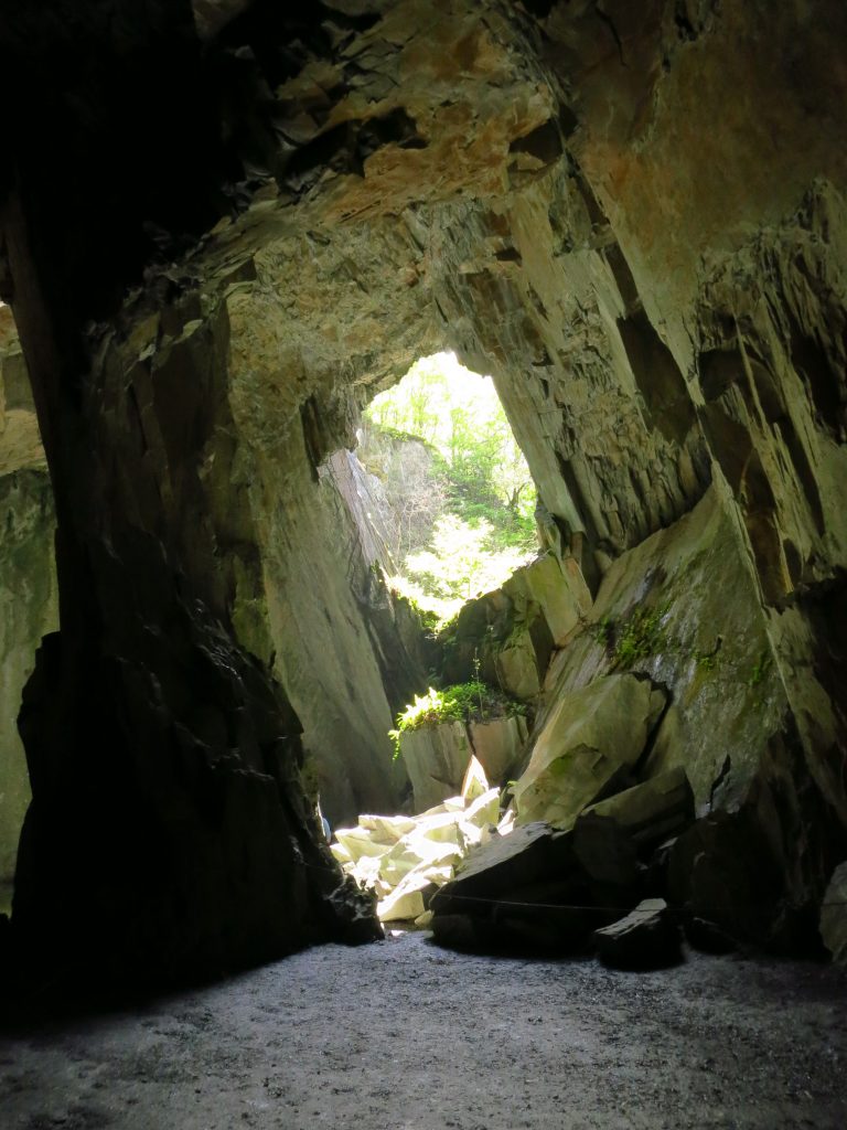
Cathedral Cavern
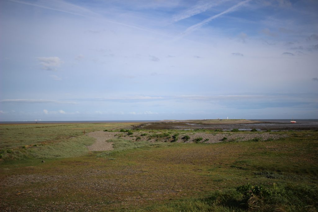
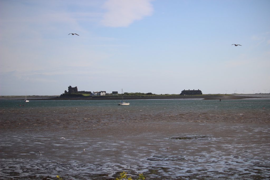
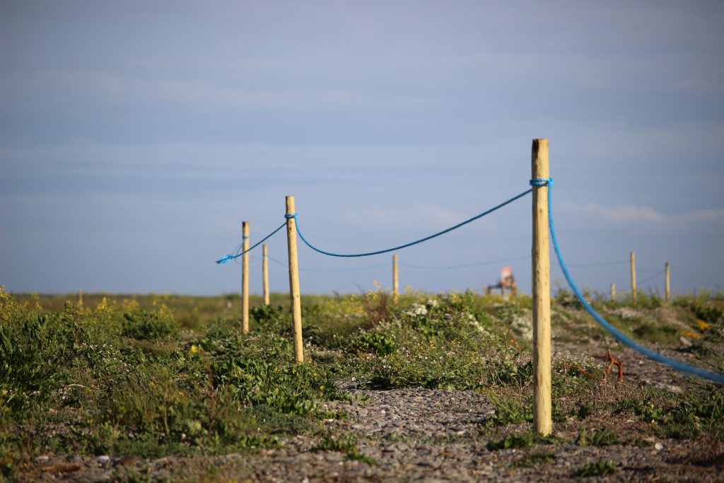
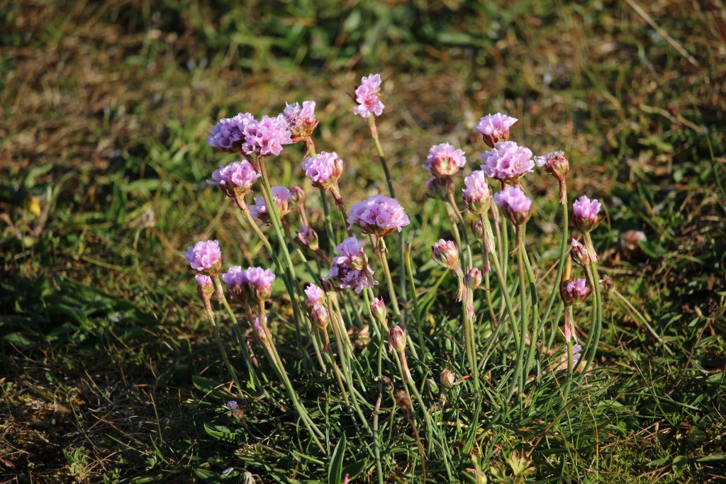
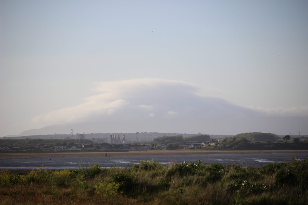
Day 3 – evening walk to Foulney Island
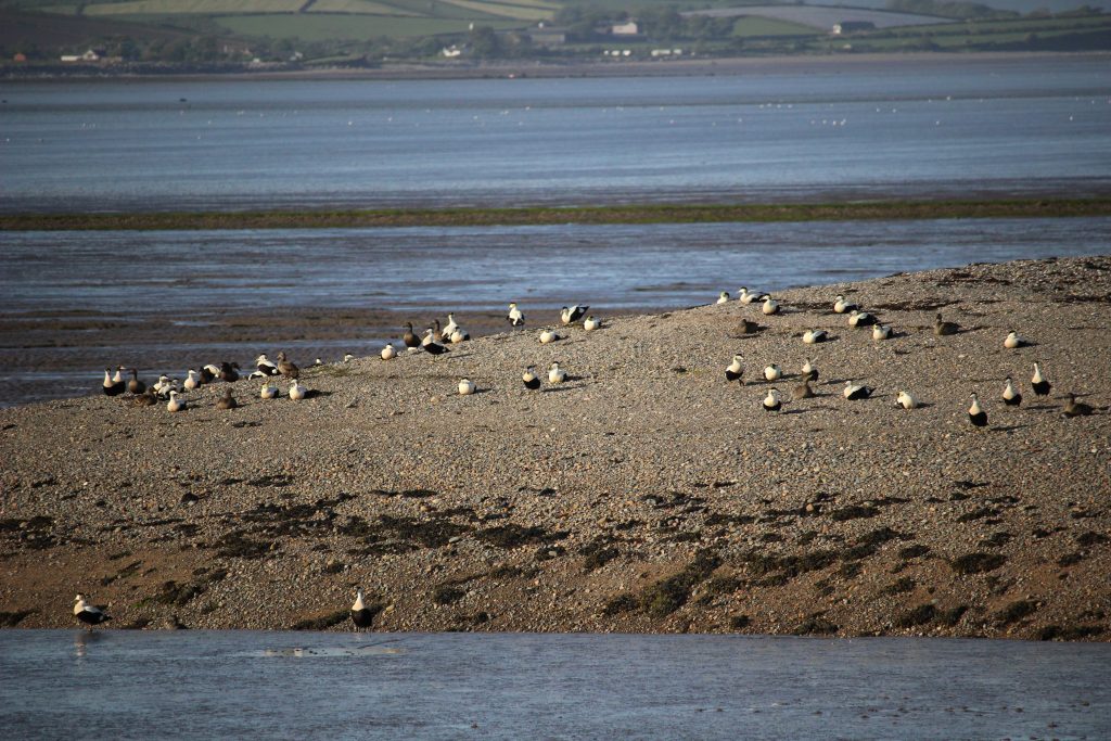
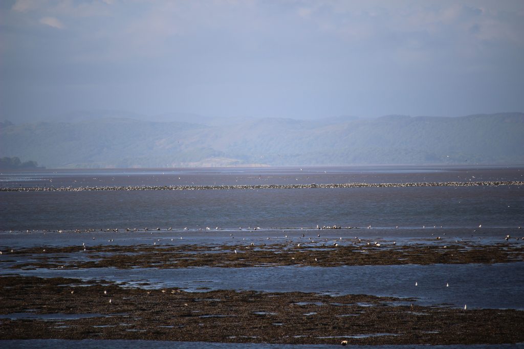
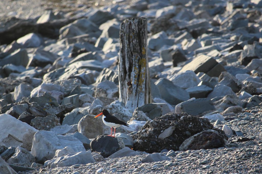
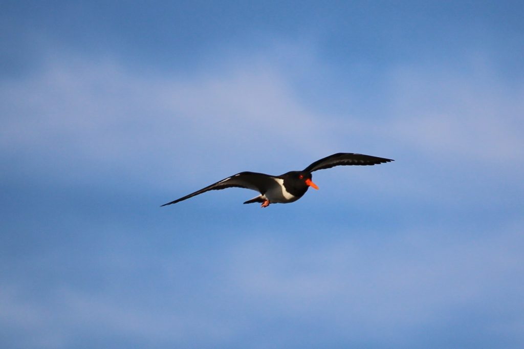
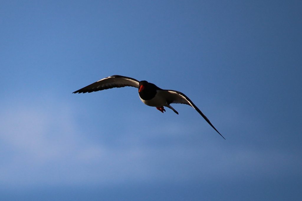
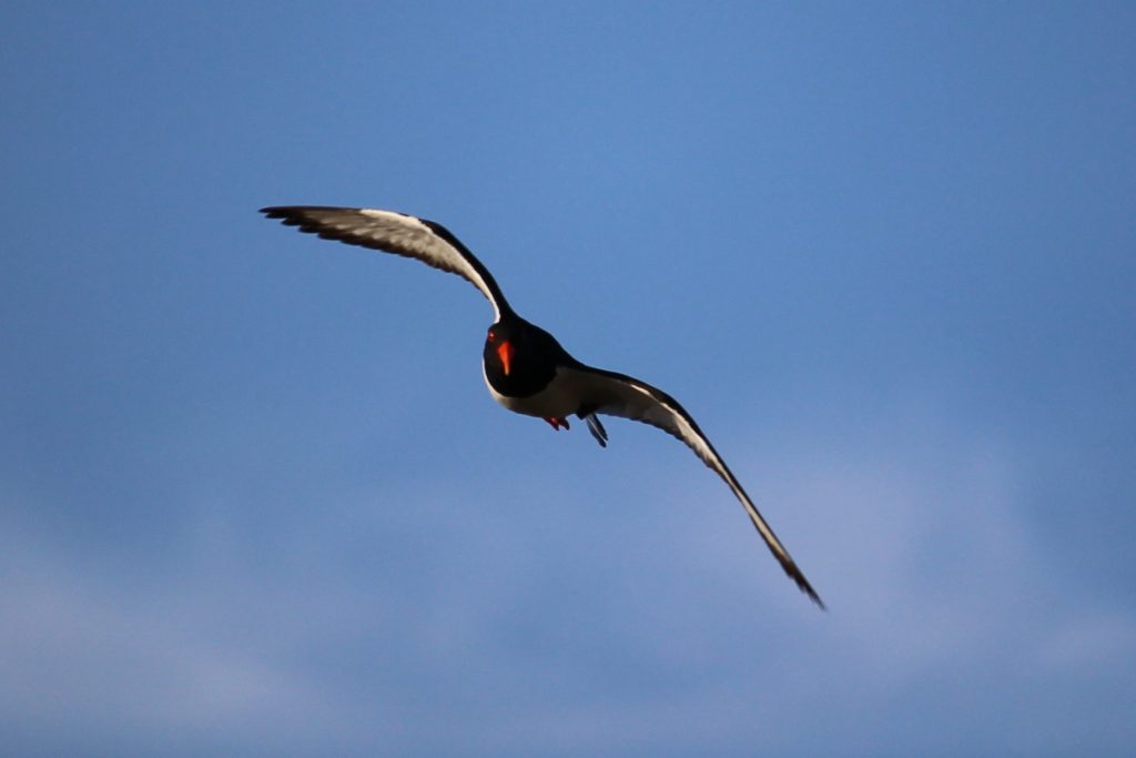
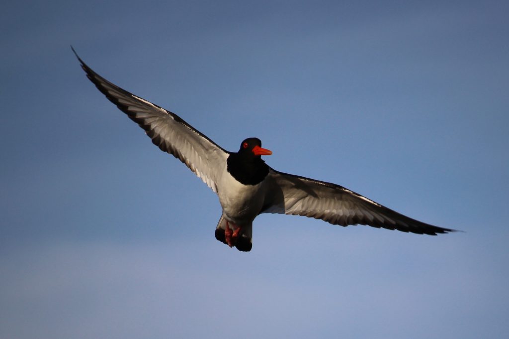
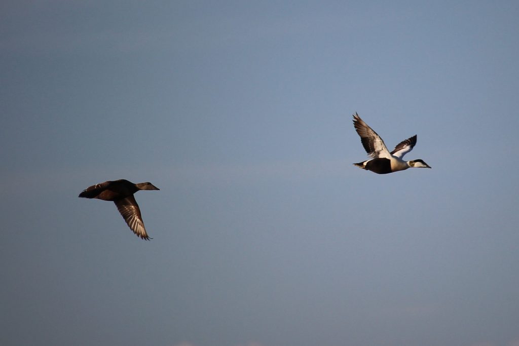
Foulney Island is located to the south-east of Barrow, and east of the better known Roa Island and Peel Island. It is connected to the mainland by a long embankment. I’d not been before, so this was a walk of exploration, but also an opportunity to try to photograph some wildlife with the big camera.
The causeway to Foulney Island (seen in the distance) with tidal marsh on the left.Piel IslandFoulney Island is a nature reserve and SSSICloud on Black Combe beyond BarrowAn Oystercatcher, I think, though happy to be correctedRoa Island
An interesting little outing, and reasonably successful experiment with the camera too.
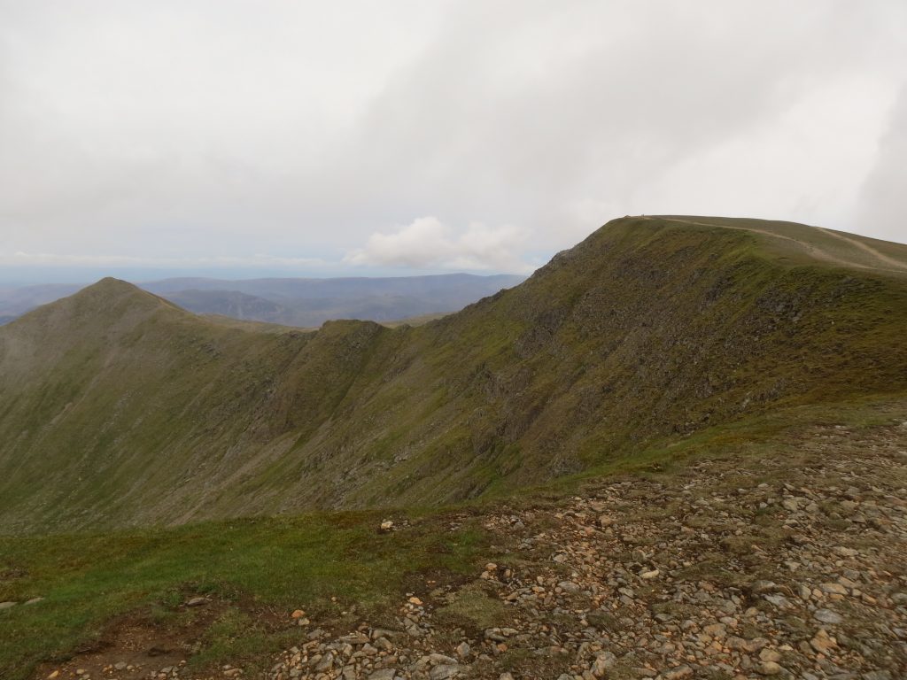
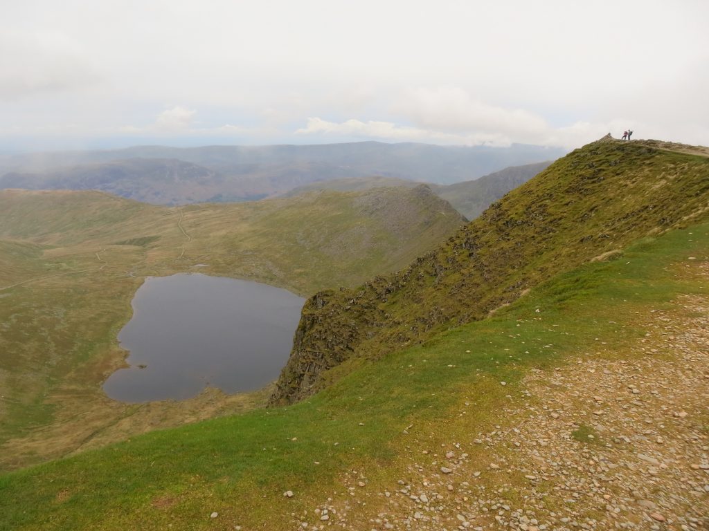
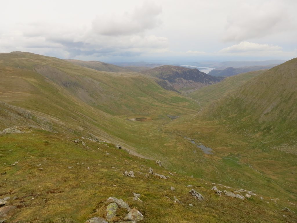
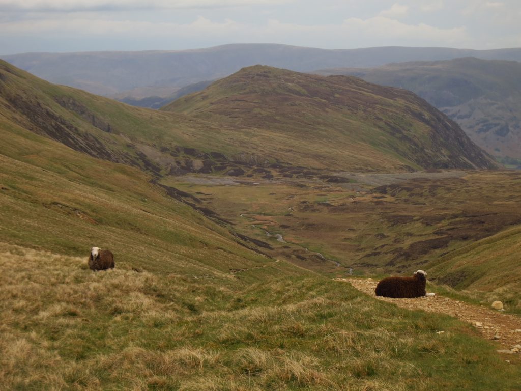
Day 4 – Helvellyn from Glenridding
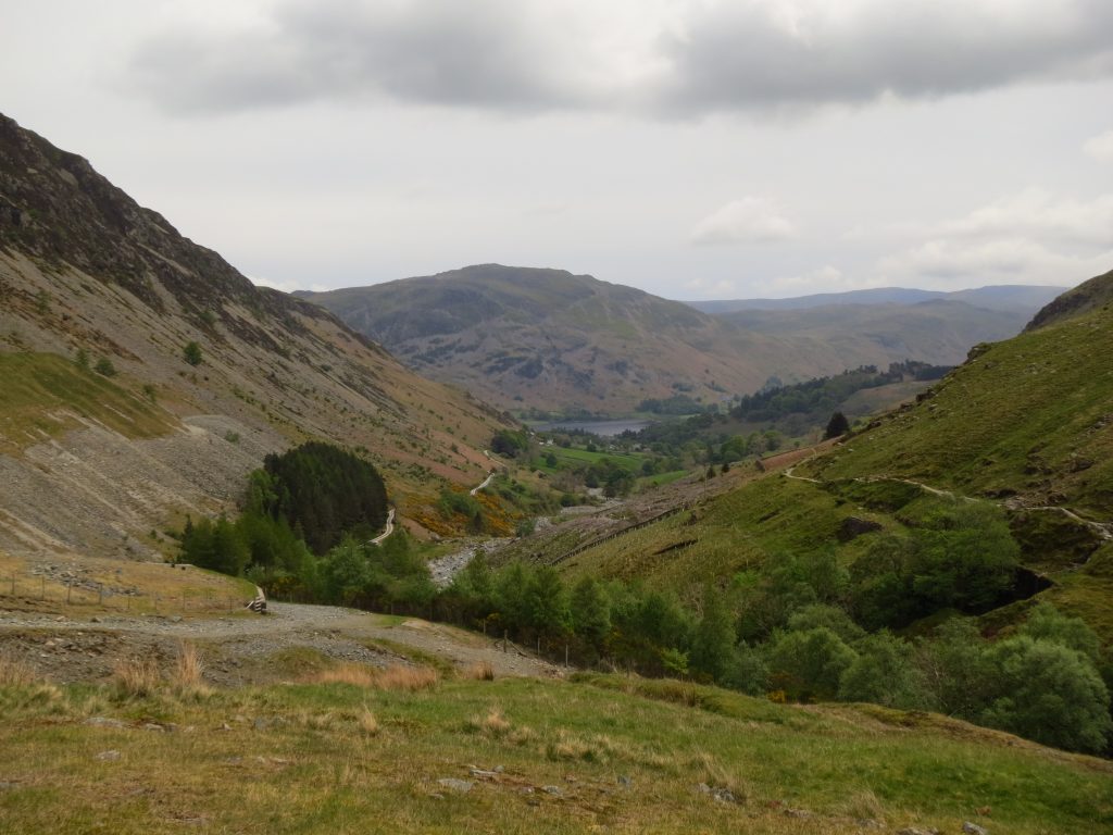
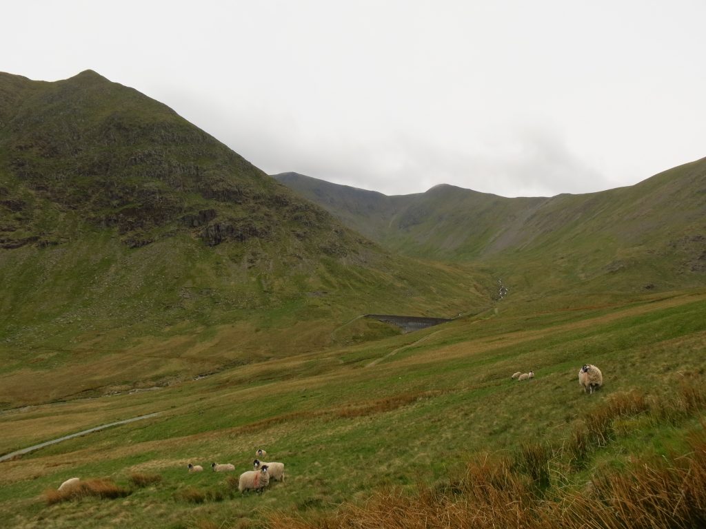
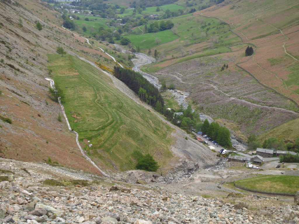
The fourth and final day in the Lake District is more overcast but waiting till the middle of the day saw the low cloud lift. My fifth visit to Helvellyn explored two routes (up and down) from Glenridding that I hadn’t used before.
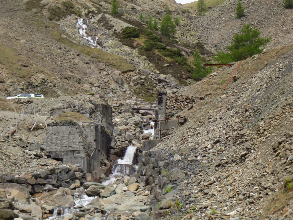
Desolation from the lead mineLooking back down the Glenridding valleyAs I gain height, Helvellyn comes into view around the back of CatstyecamOn Helvellyn Lower Man, the hard work is done to reach Helvellyn itselfOn Helvellyn looking down to Red TarnBrown Cove and Keppel Cove lead into Glenridding valleyAfter once again crossing White Side and then Raise, a right turn at Sticks Pass takes me back towards the lead mineMore of the remains of the mine as I zigzag down the hill

 by
by