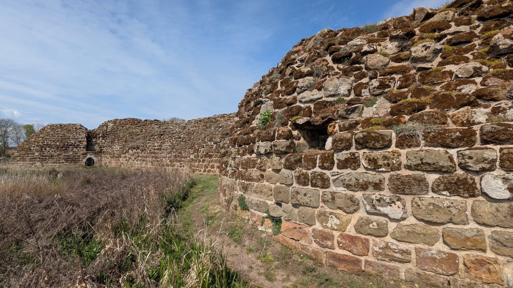
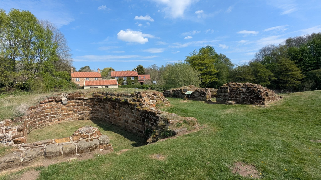
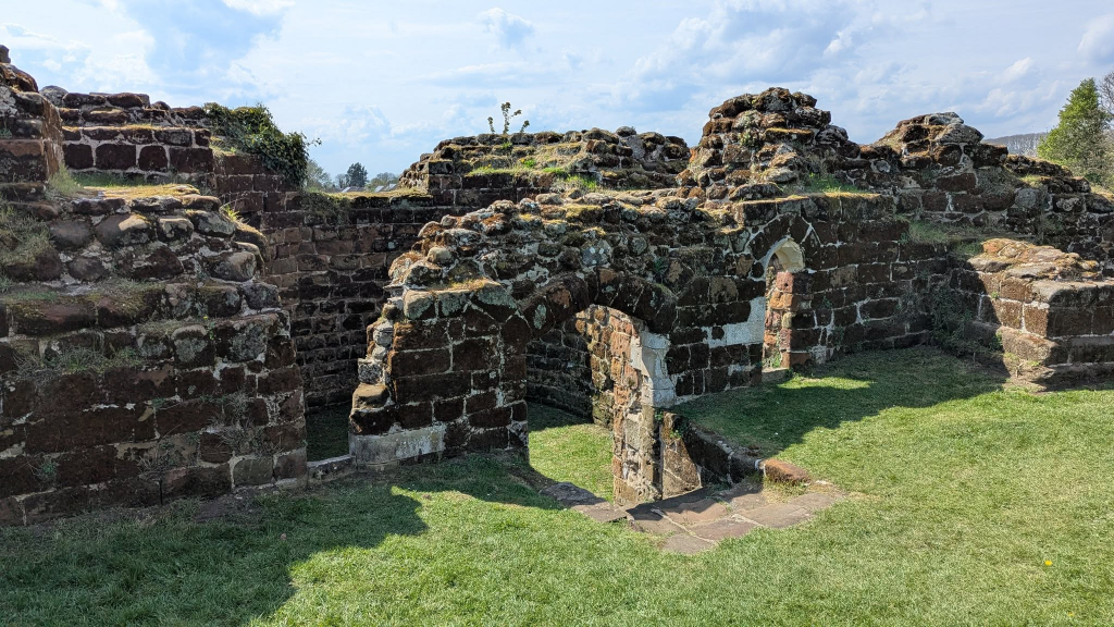
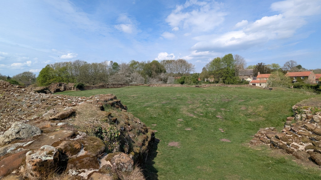
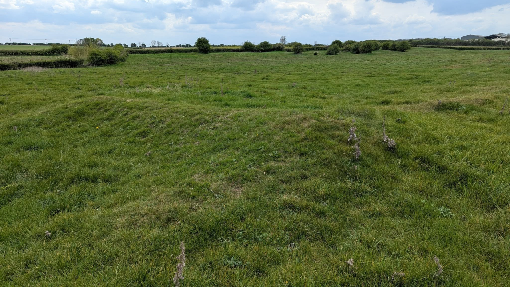
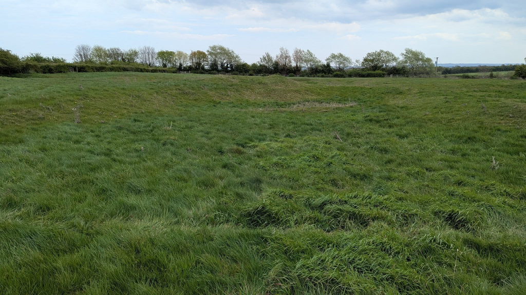
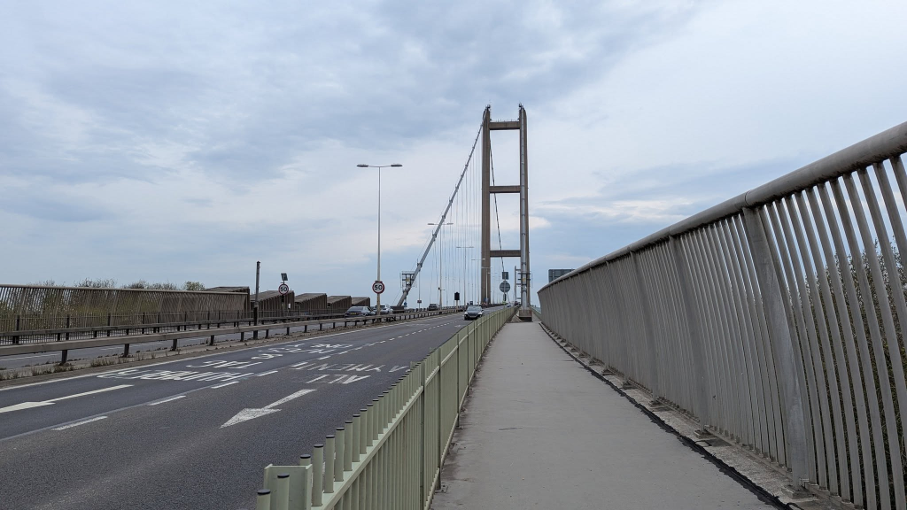
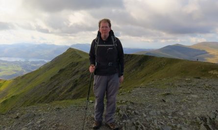
A really enjoyable visit to Bolingbroke Castle which has lots to explore and plenty of information, somewhat less interest at Gainsthorpe Medieval Village which while it might be one of the best preserved deserted villages is still just lumpy ground to the layperson, and finishing with a 10km run across the Humber Bridge and back.
Day 2
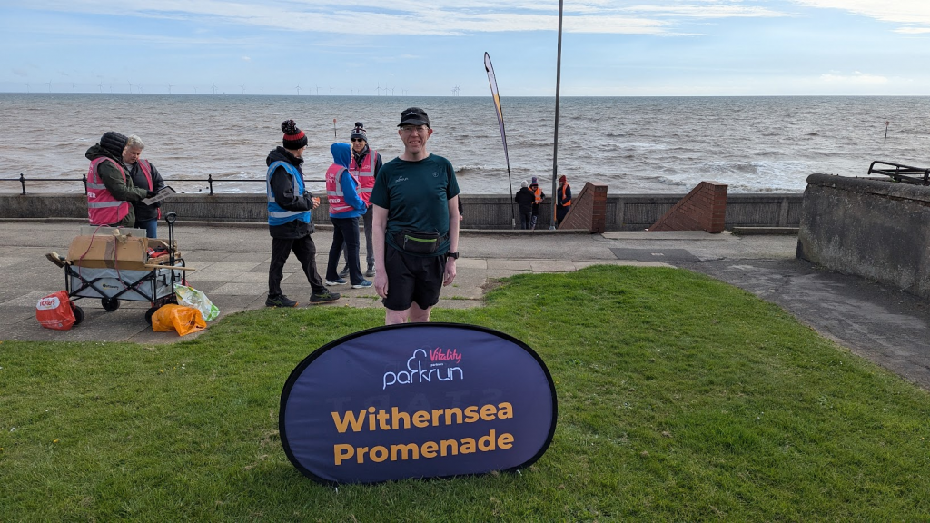
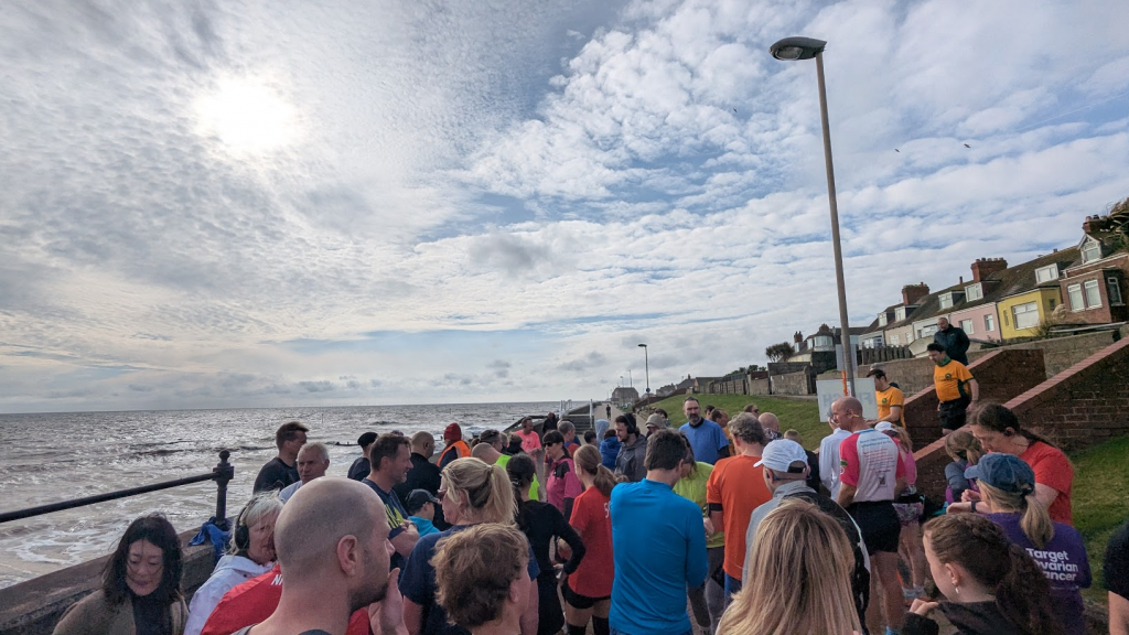
To start the day, parkrun at Withernsea
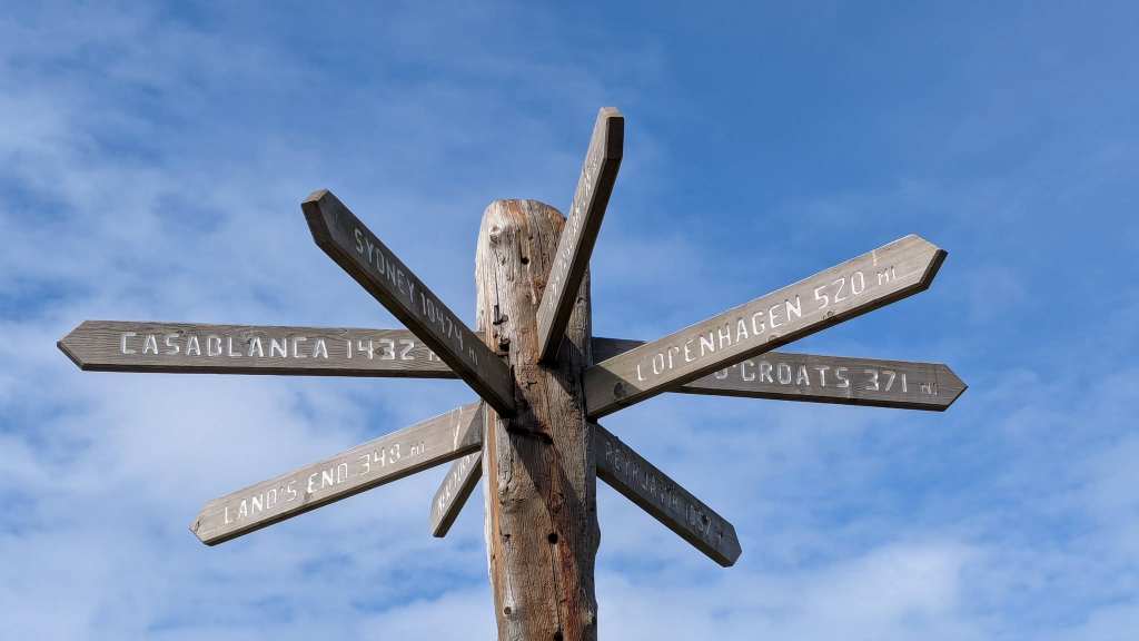
Then onwards to the main focus of the little holiday, a fascinating walk to Spurn Head at the mouth of the Humber…
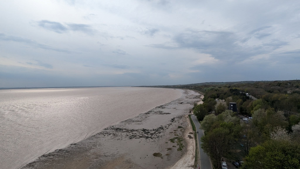
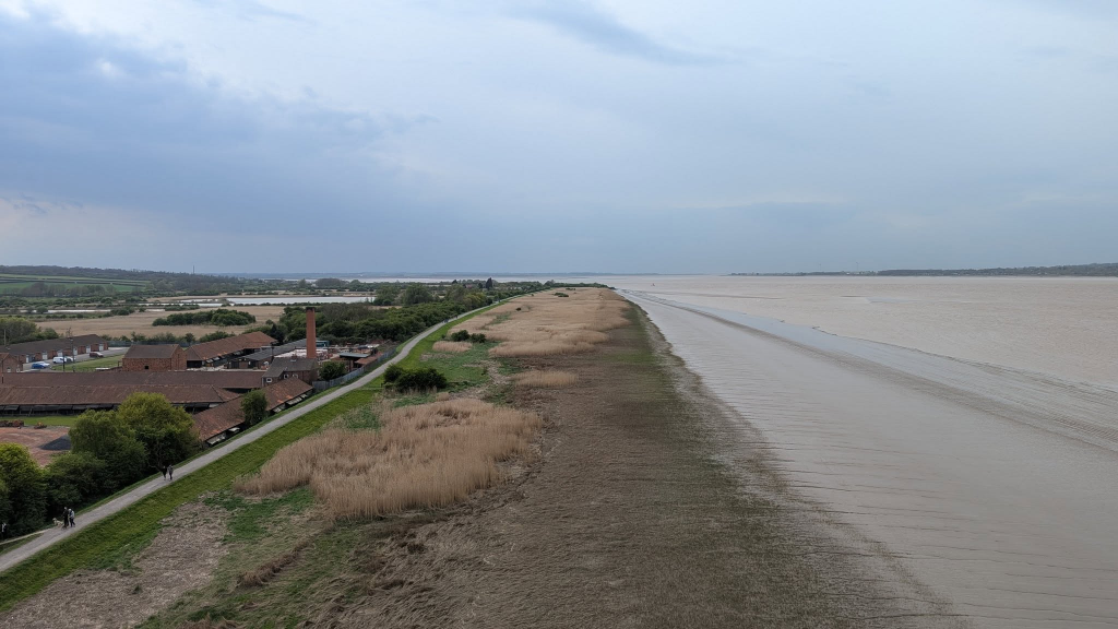
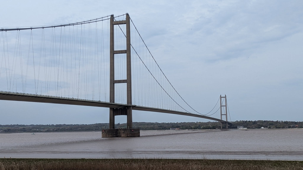
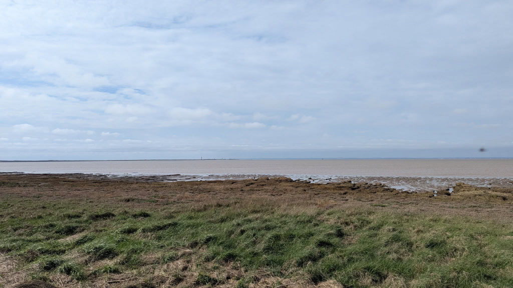
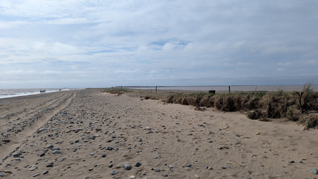
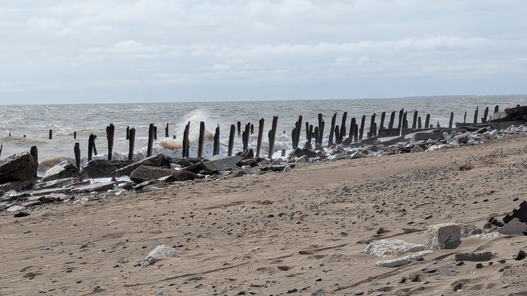
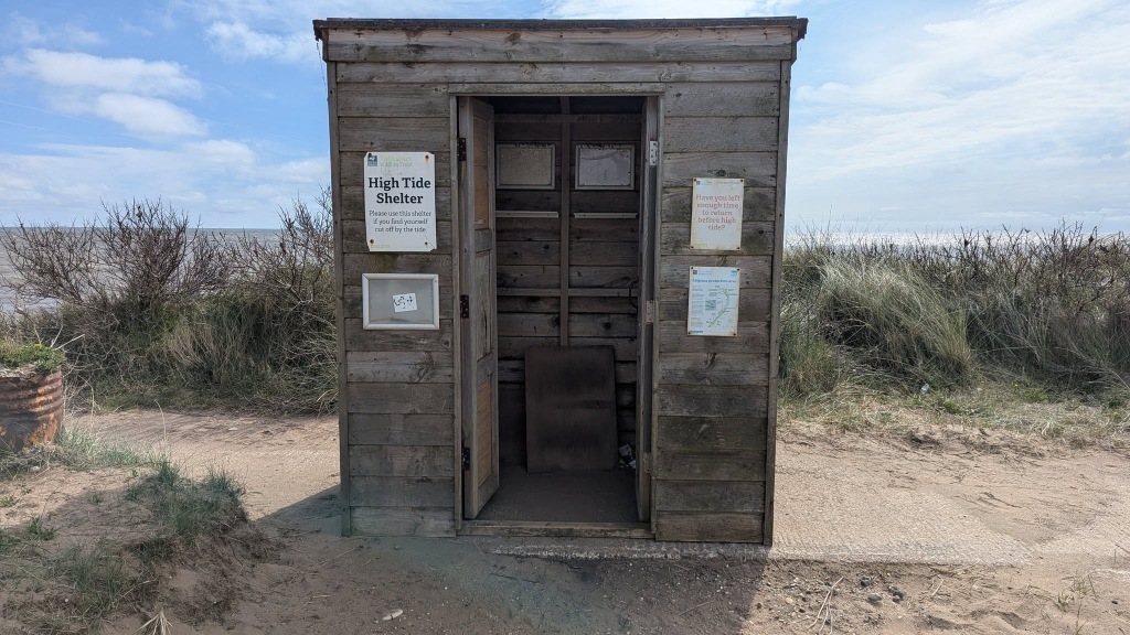
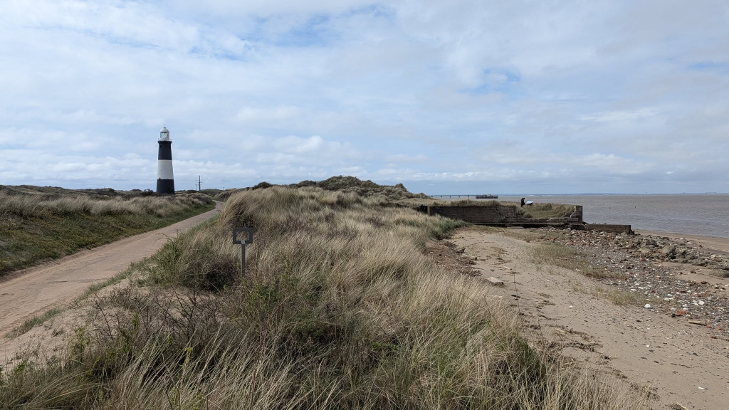
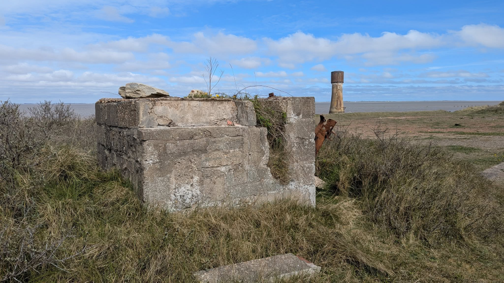
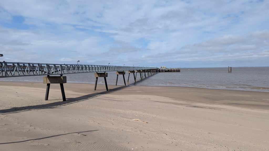
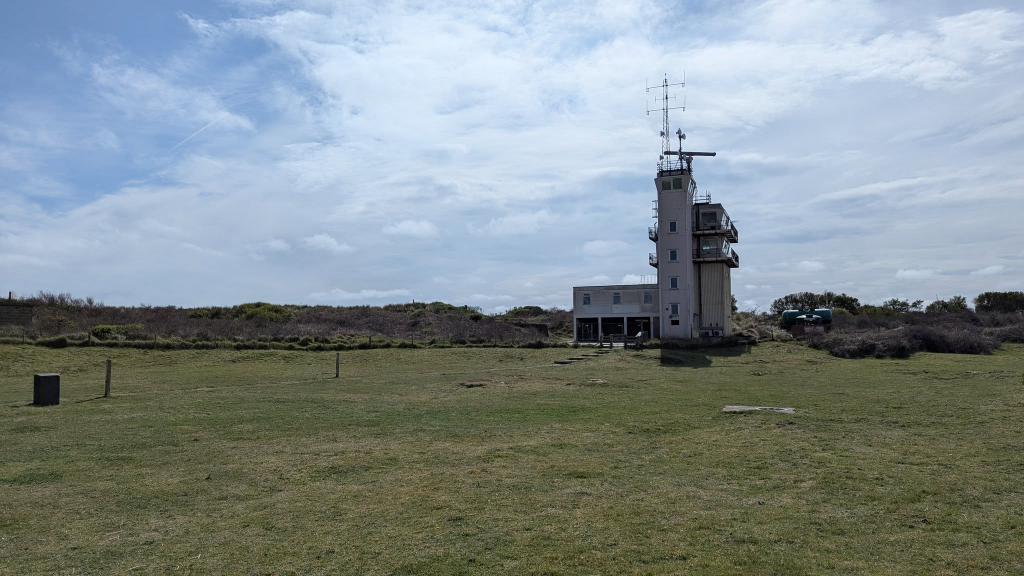
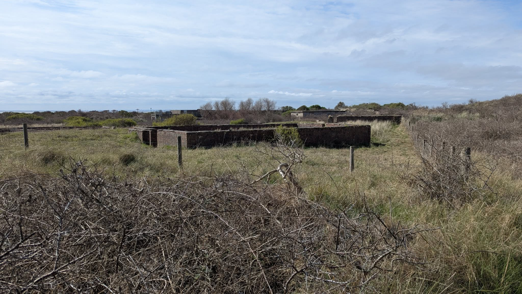
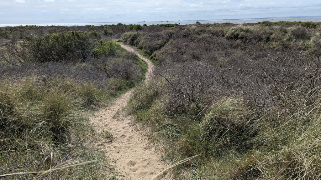
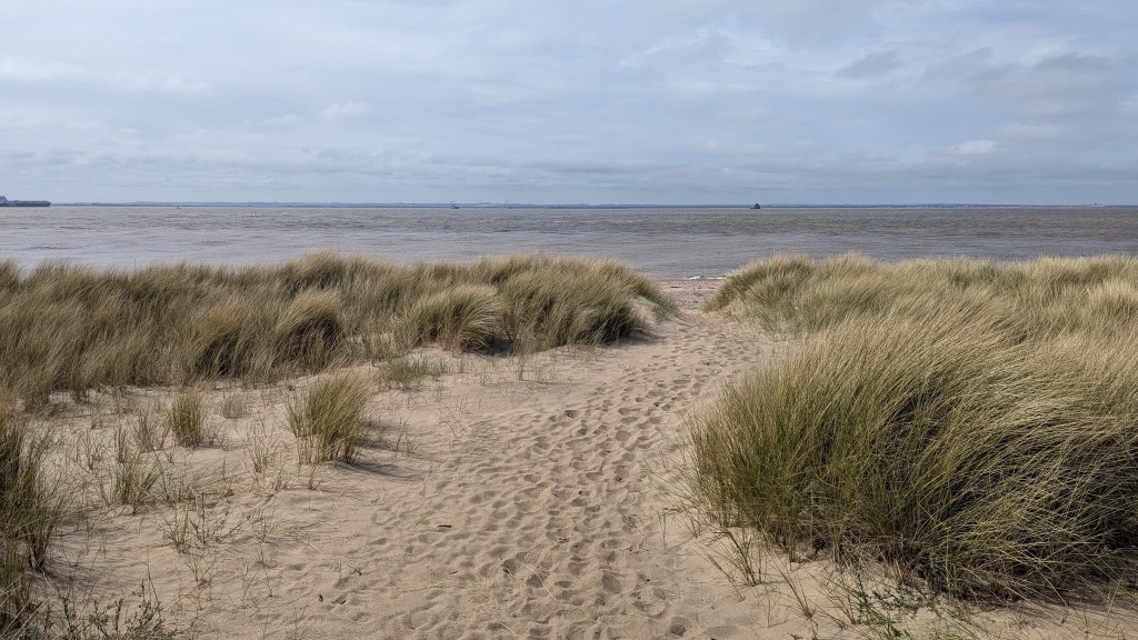
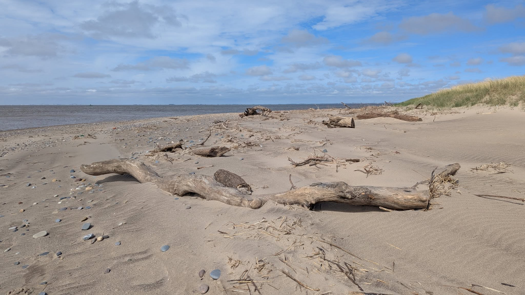
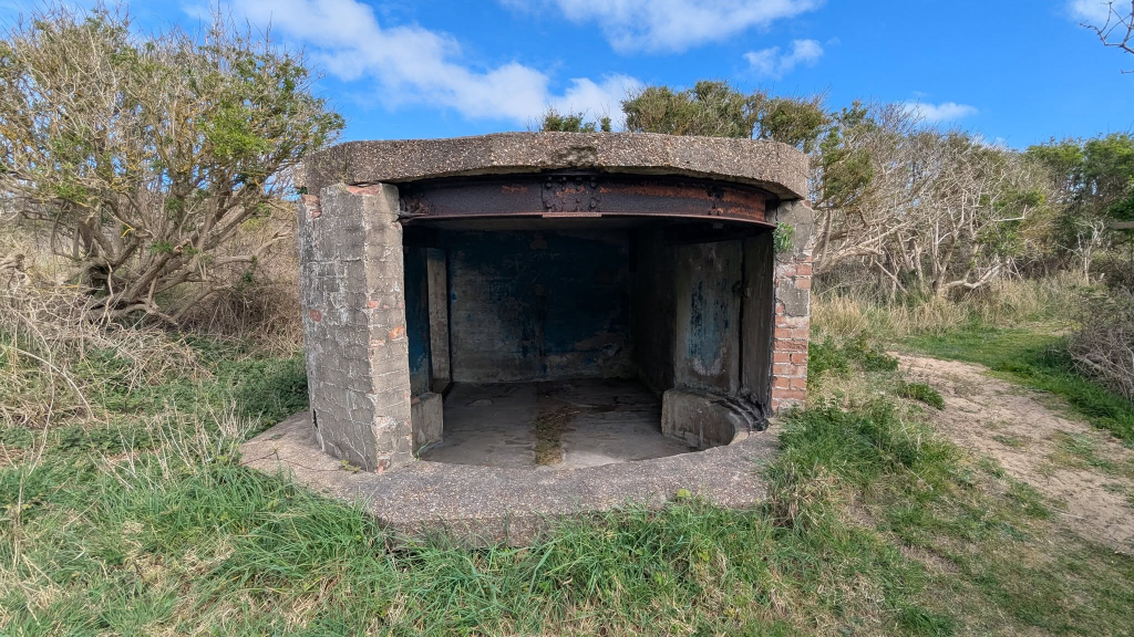
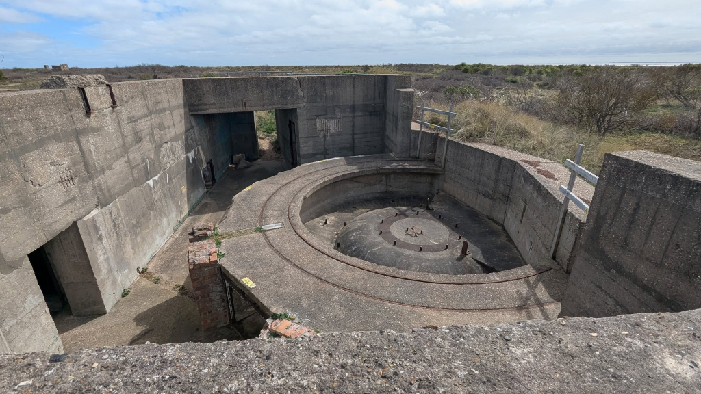
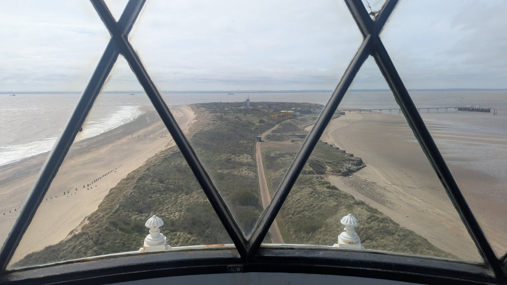
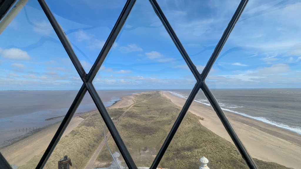
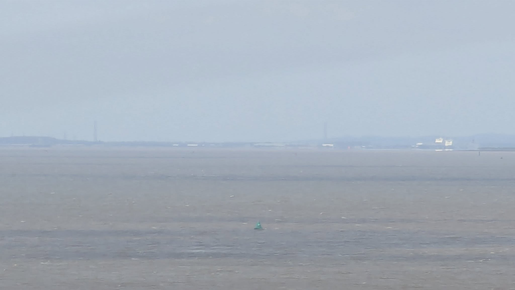
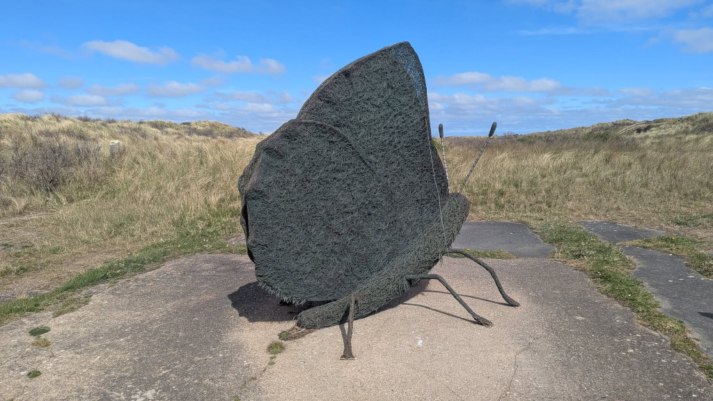
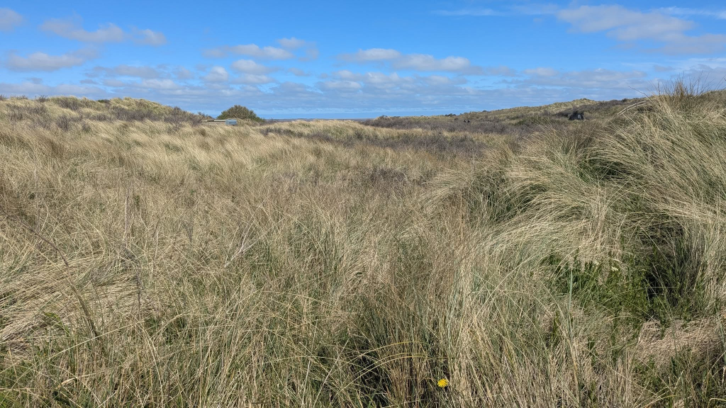
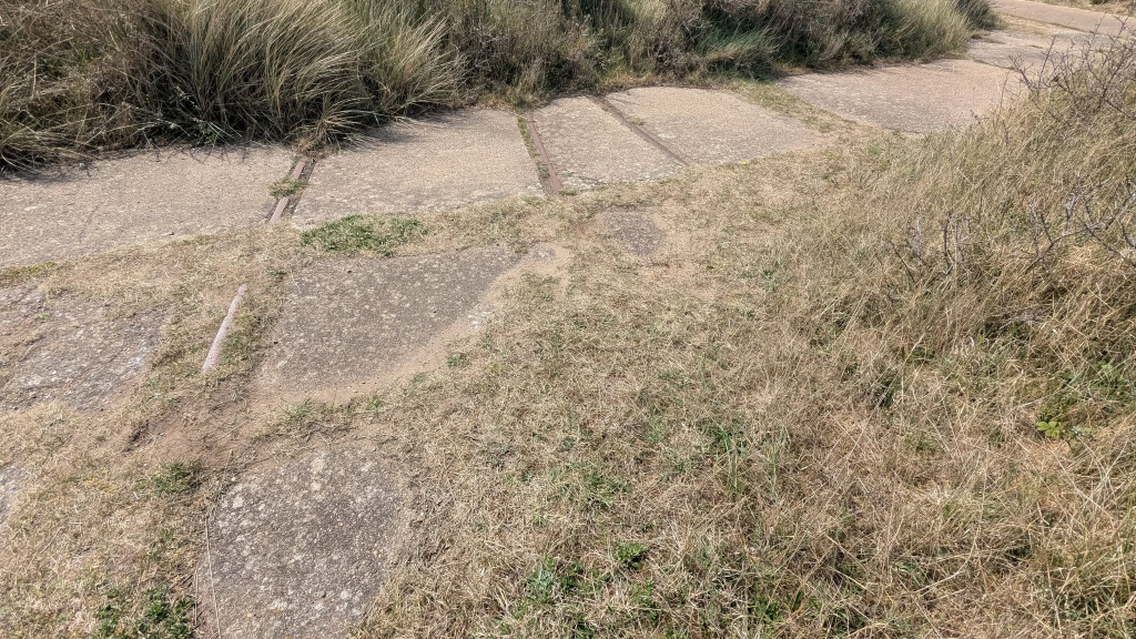
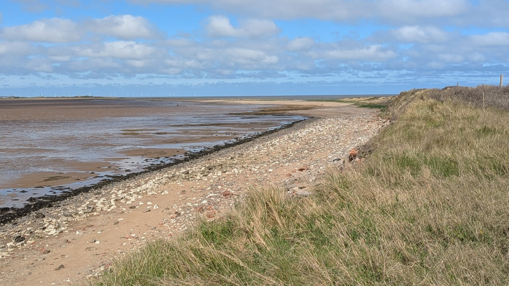
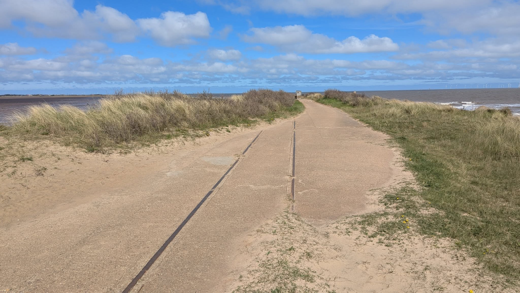
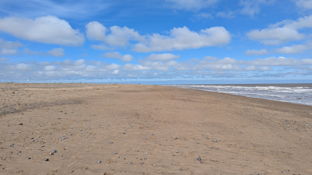
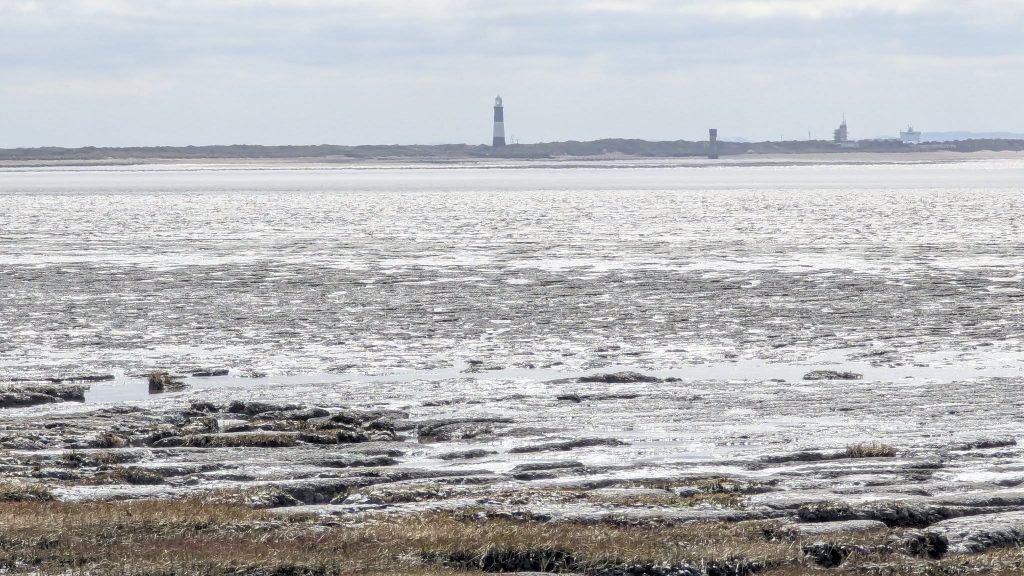
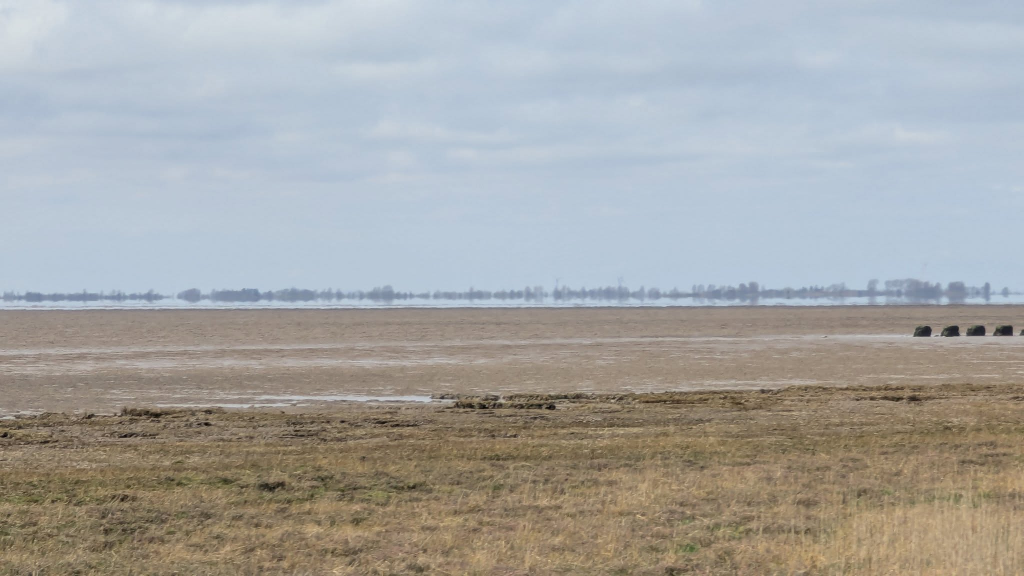
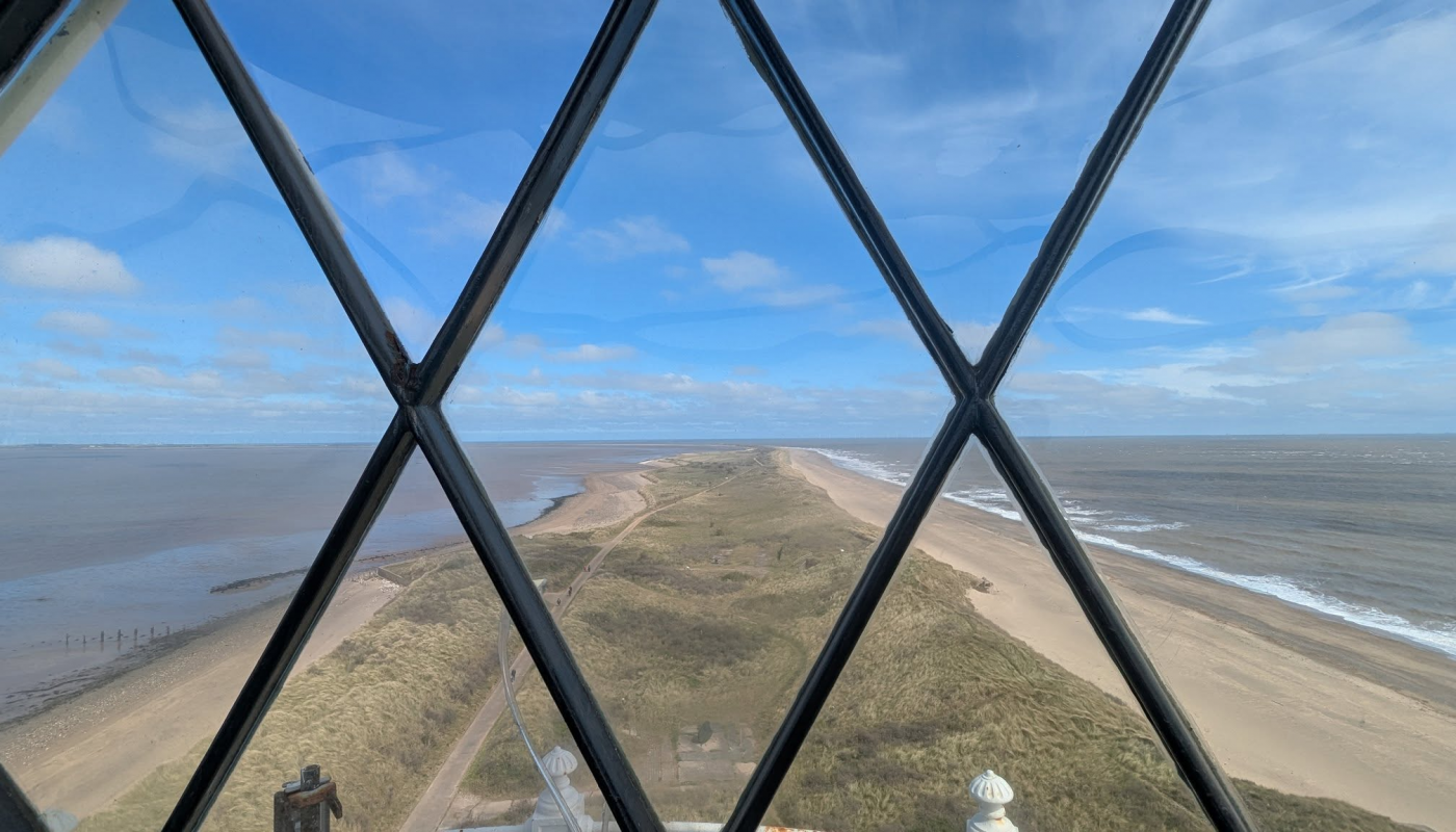
As I start my walk, a look across the bight to my destination just visible in the distance, with the lighthouse marking the way.After a few hundred metres of tarmac then concrete, erosion means the route takes to the beach for about 1.3km – and as it’s just after high tide, there is no firm sand so it’s a bit hard work. The area to the west (right) is fenced off to protect wildlife. My two maps were both out of date, not reflecting the erosion and wholesale movement of the spit of land westwards.Centuries of efforts to protect the land from erosion have now been abandoned – probably eventually the sea will break through and Spurn will become an island.Already there are published dates on which it is not safe to cross near high tide.The land widens out as the concrete road is largely intact from here on southwards. But it isn’t natural land – this was considerably reinforced and reclaimed in the 19th century to protect the estuary and its shipping from the worst of the sea – will we come to regret simply letting nature do its thing when fierce storms rush up the Humber?Getting close to the lighthouse. I’d been told it was open today, and there was a sign saying “open today” outside it, but it was firmly locked.Remains of wartime fortificationsThe pier and jetty for the pilot boatsThe VTS tower beyond the former parade-ground where soldiers marshalled in the two World Wars.The final section beyond the Lifeboat Station and VTS Tower is full of abandoned military buildingsApproaching the PointAlmost thereAt Spurn Head, looking upriverOne of the former searchlight installations to help guard the river against German invasionOne of the quick-fire 6-pound gun installations that used to protect the riverFortunately on my return, the lighthouse was open. I was warned it was quite busy so I explored each floor on my way up to allow people time to descend, and by the time I got to the top, I had it to myself. Here’s a view to the SW to Spurn HeadAnd to the NE, retracing my steps.Almost lost in the murk but just visible 40km away are the twin towers of the Humber BridgeRemarkably, not only was there the concrete road along the spit to Spurn Head, but a standard-gauge railway too. Hidden under the grass here are the foundations of the engine shed.Tracks emerging from the engine shed.Heading north and the tide has receded considerably revealing mud flat on the inland side of the narrow spit.Crossing the railway line as I approach the tide shelter and the descent to the beach. Clearly a huge amount of land has been lost since the road and railway were built.The beach section was easier on the way back as I was able to walk along the relatively firm damp sand – though the map showed me as well above the high-water mark as the land has moved west (to the left).A look back across the mudflats to the lighthouseViews to the W across the muds, clays and sands

 by
by