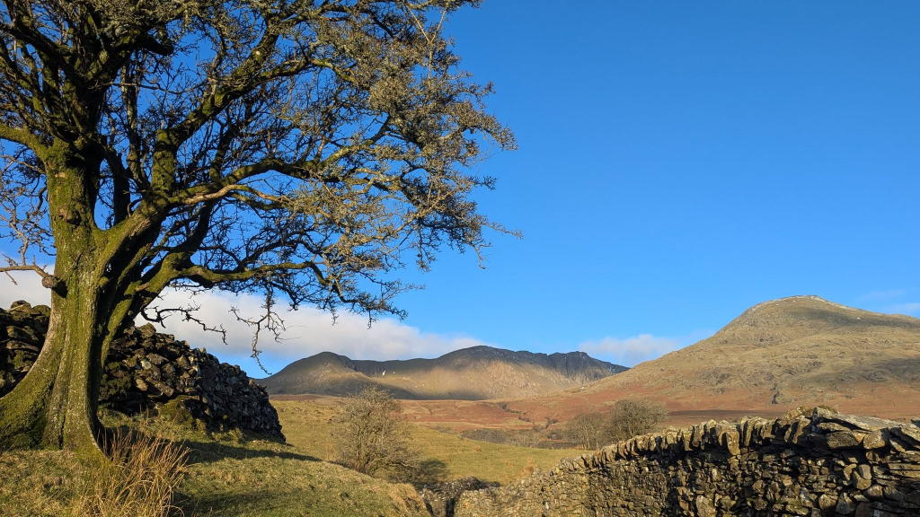
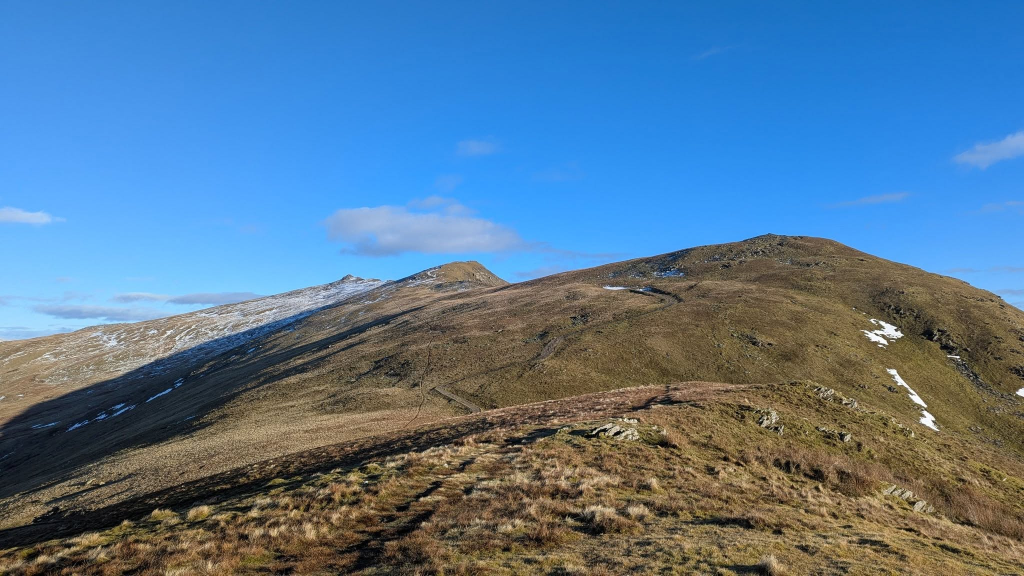
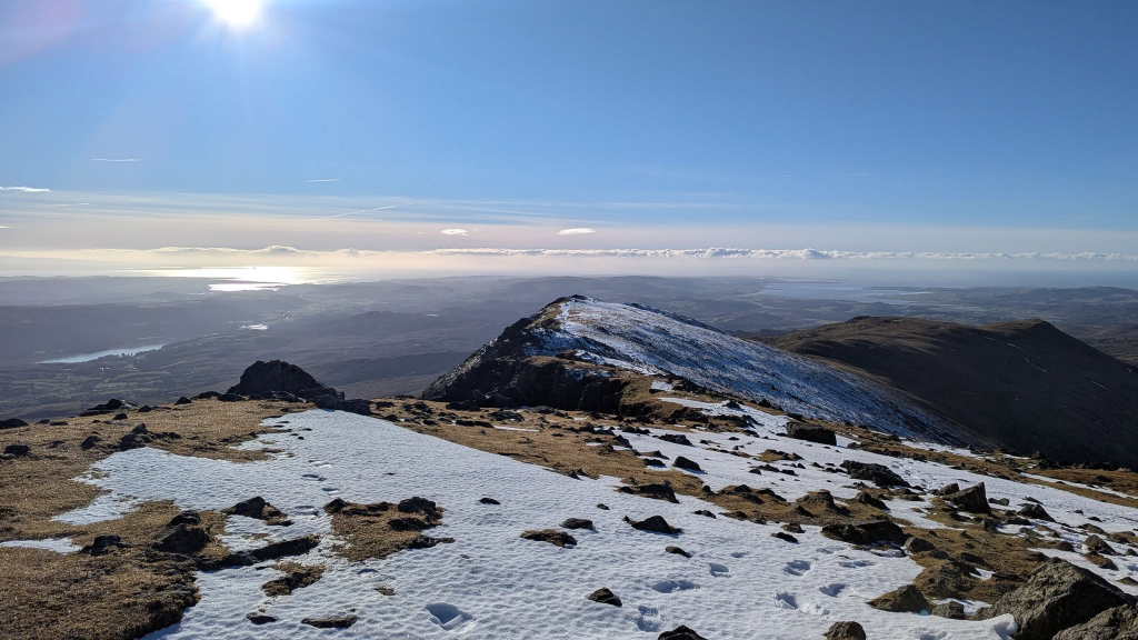
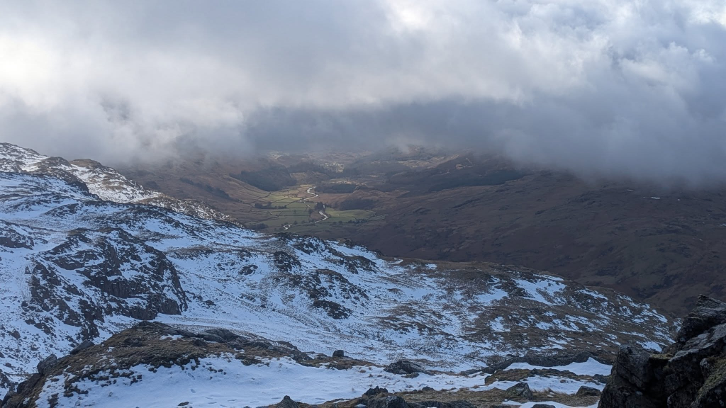
A glorious morning’s walk with Brindley up Dow Crag from Torver, via Walna Scar, Brown Pike and Buck Pike, returning via Goats Water.
Day 2
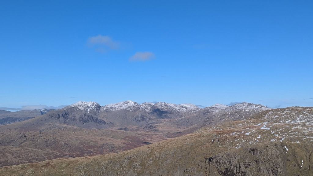
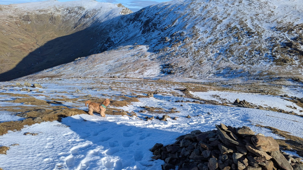
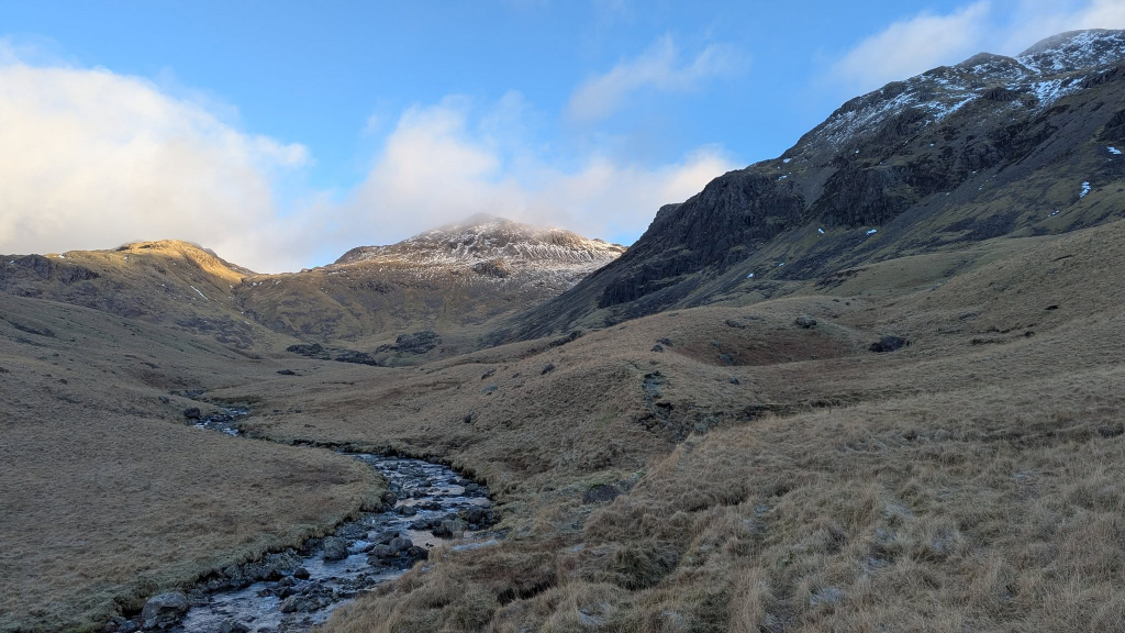
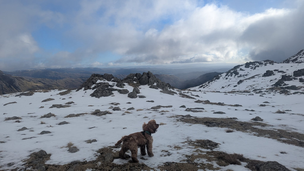
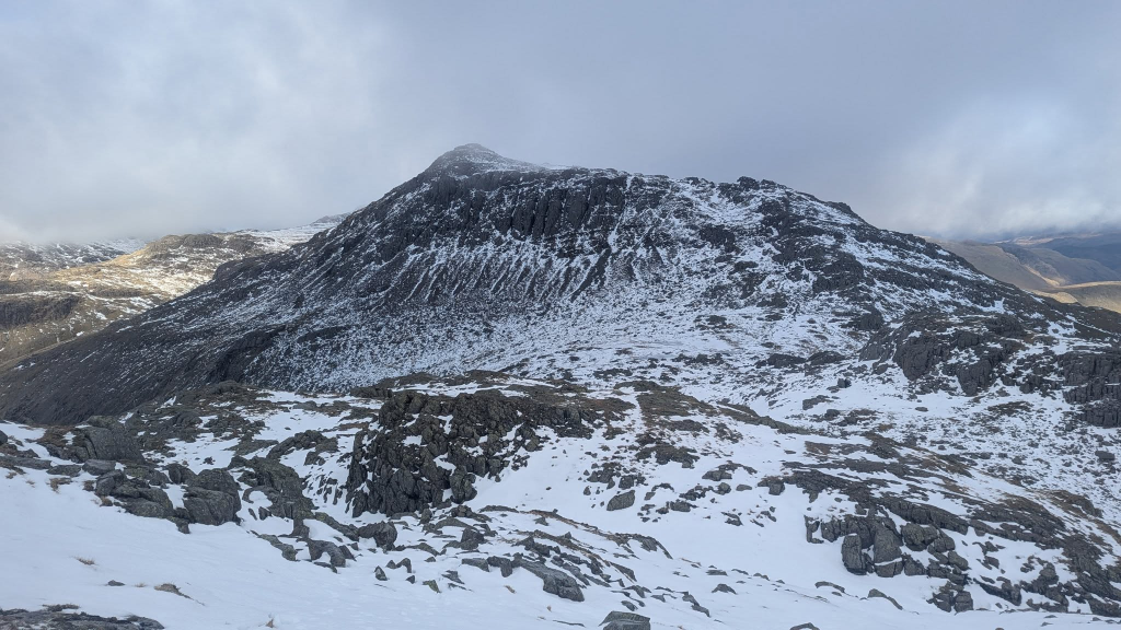
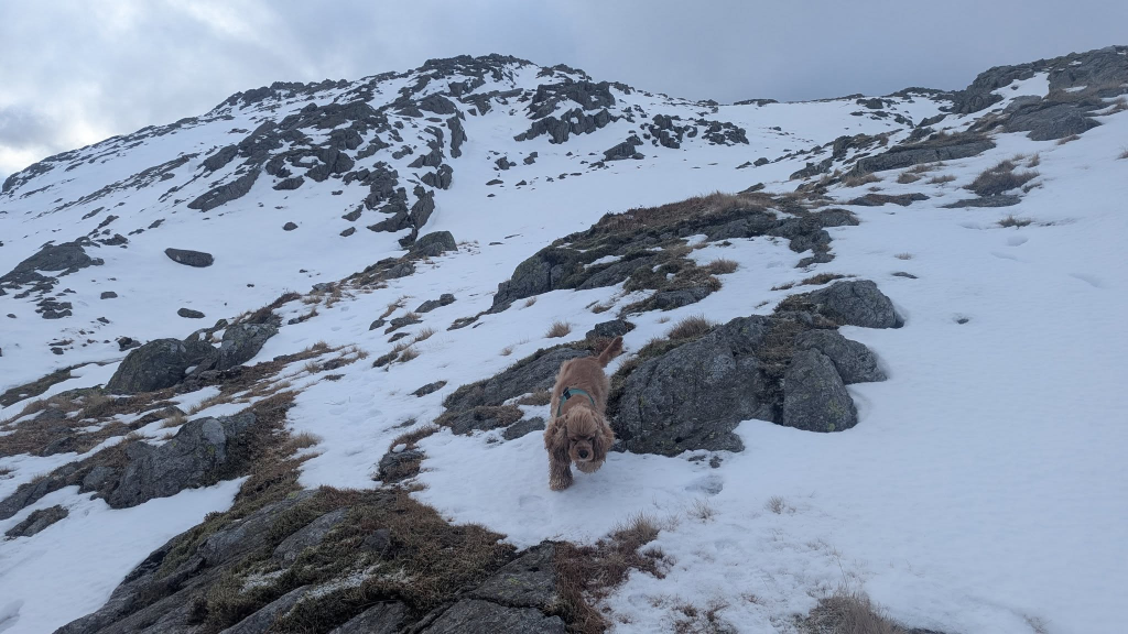
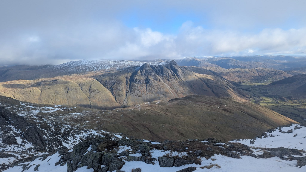
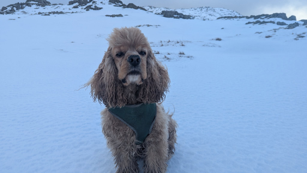
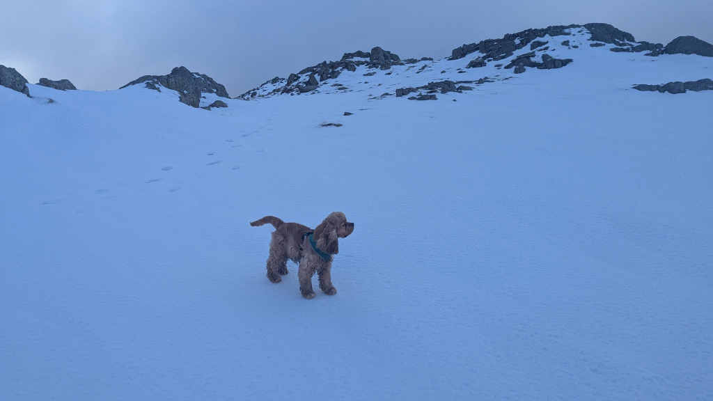
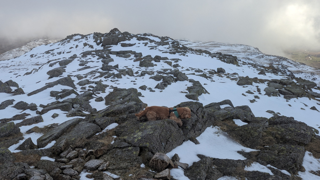
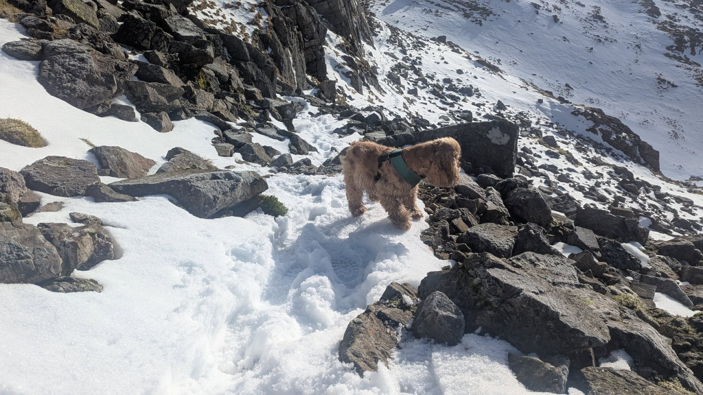
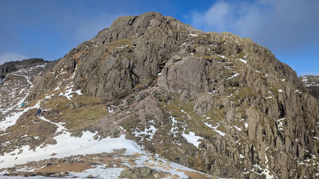
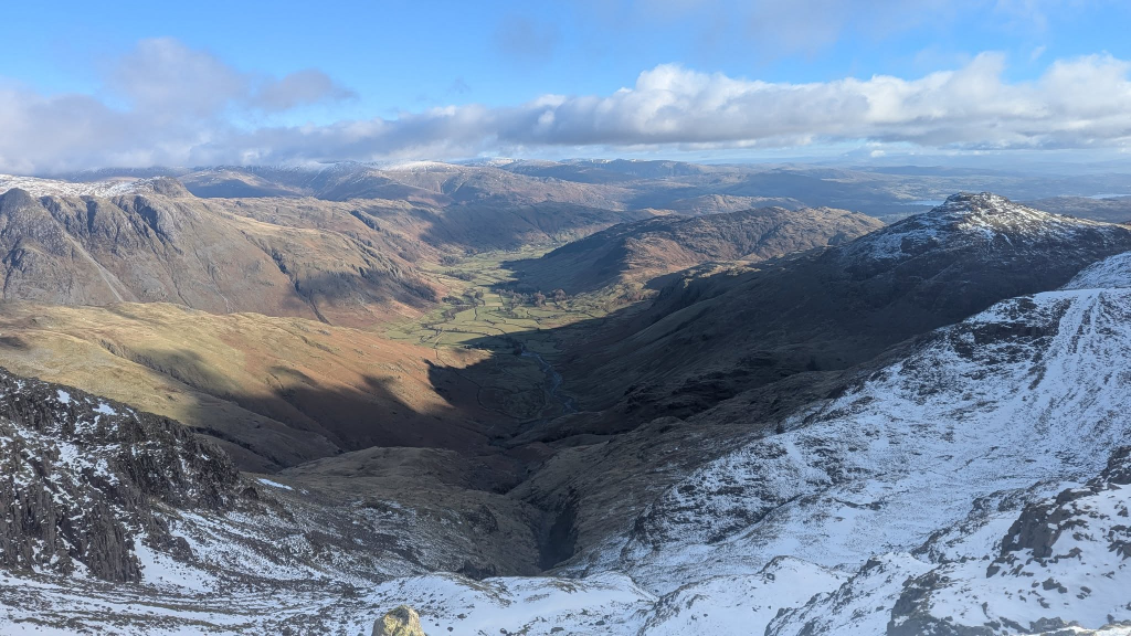
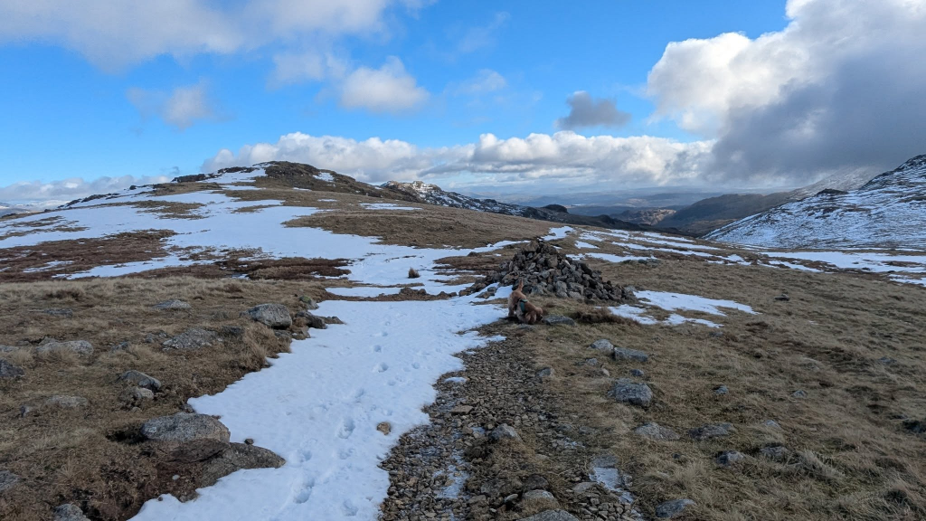
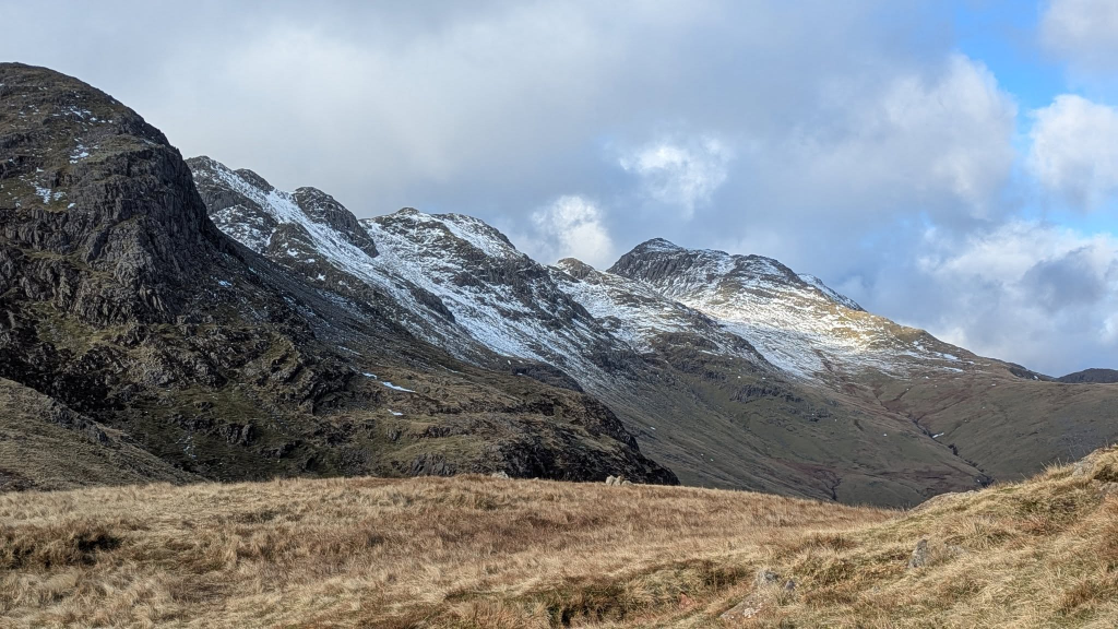
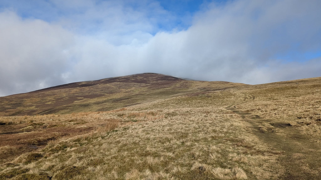
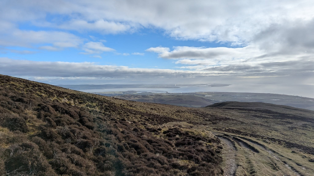
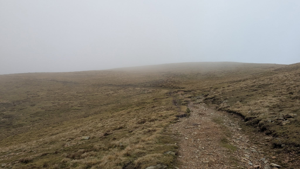
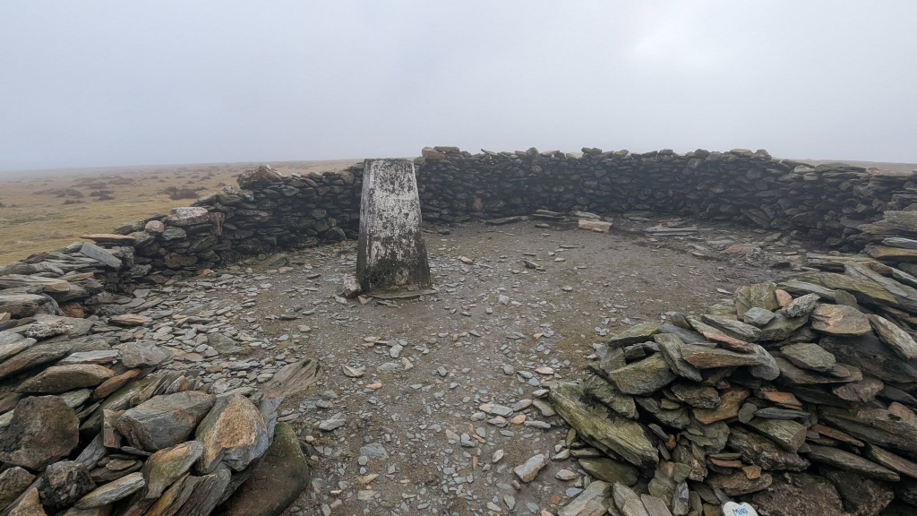
Weather not quite as good as yesterday with a bit more cloud, but still an exhilarating morning’s walk with Brindley – as expected, rather chilly on the top.
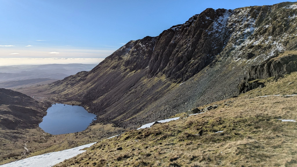
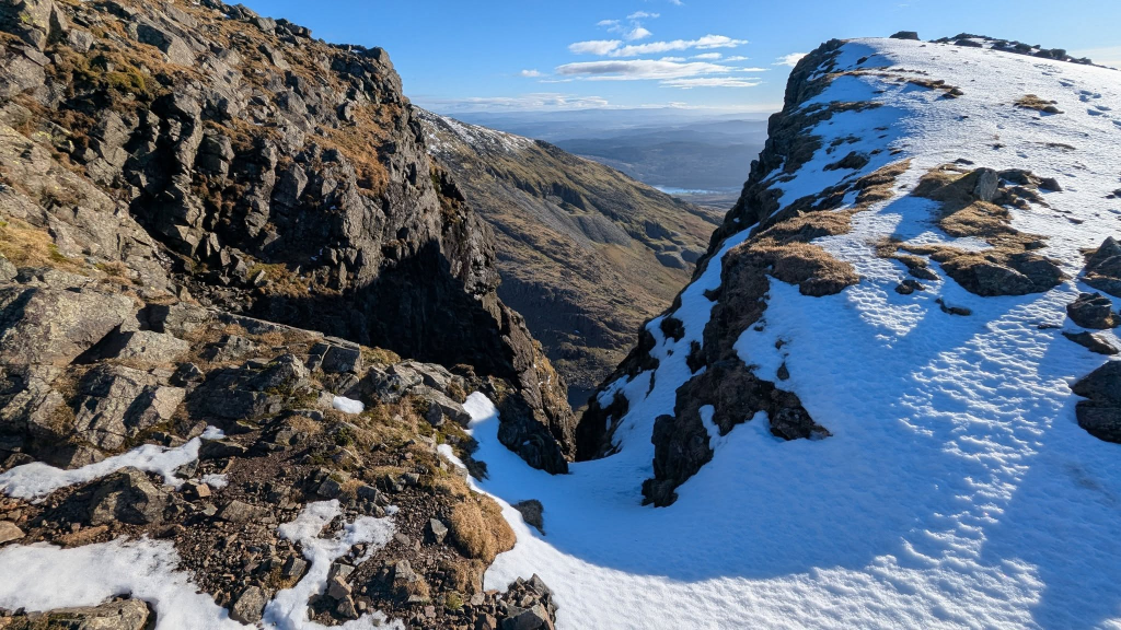
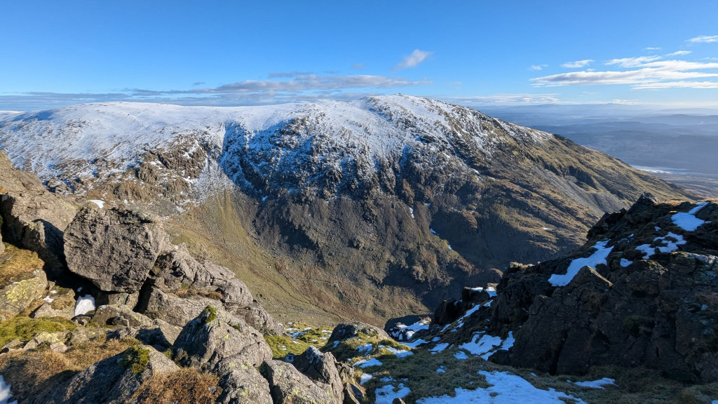
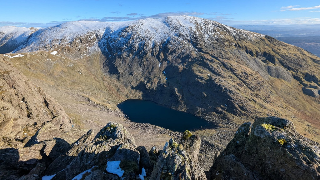
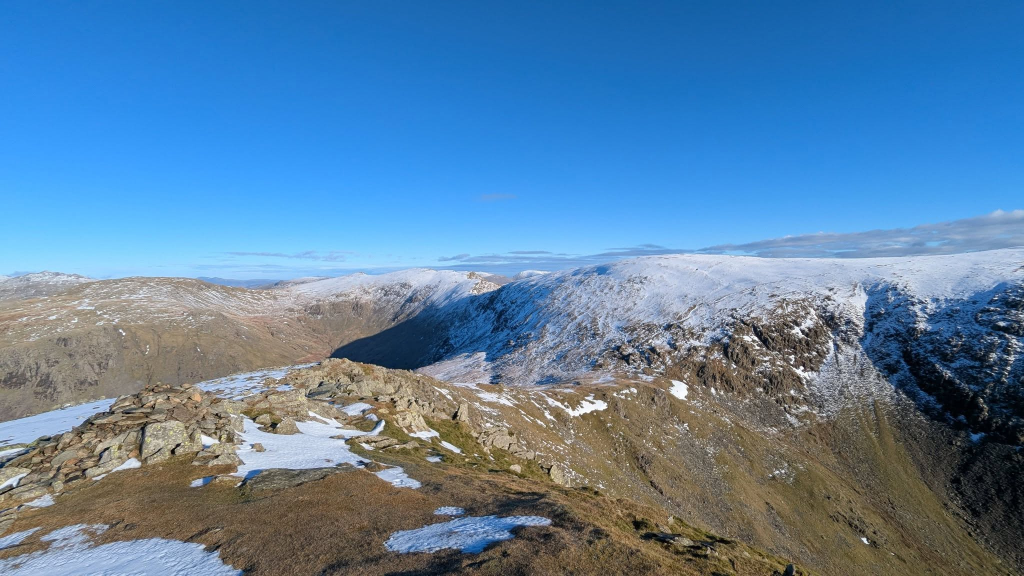
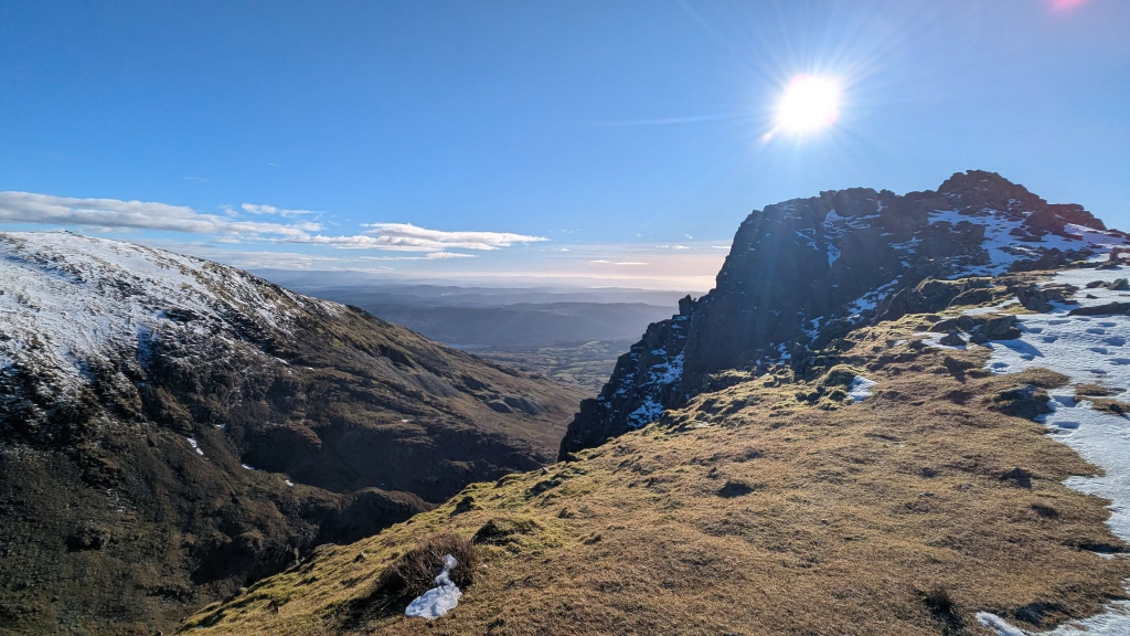
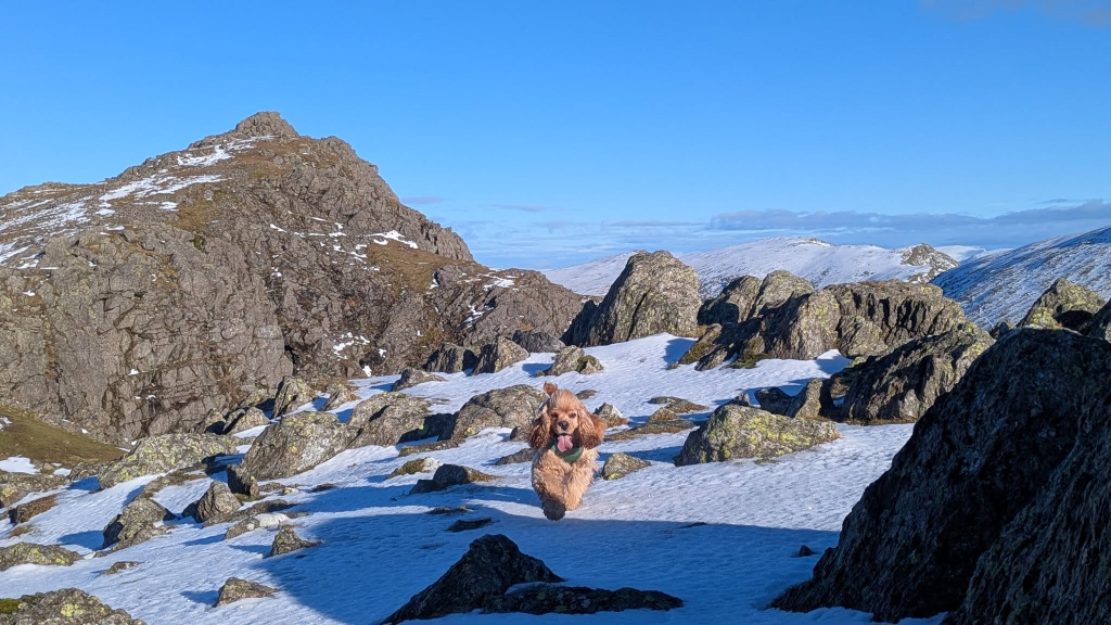
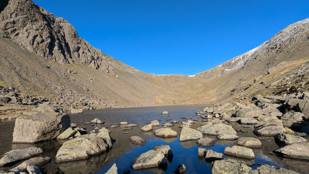
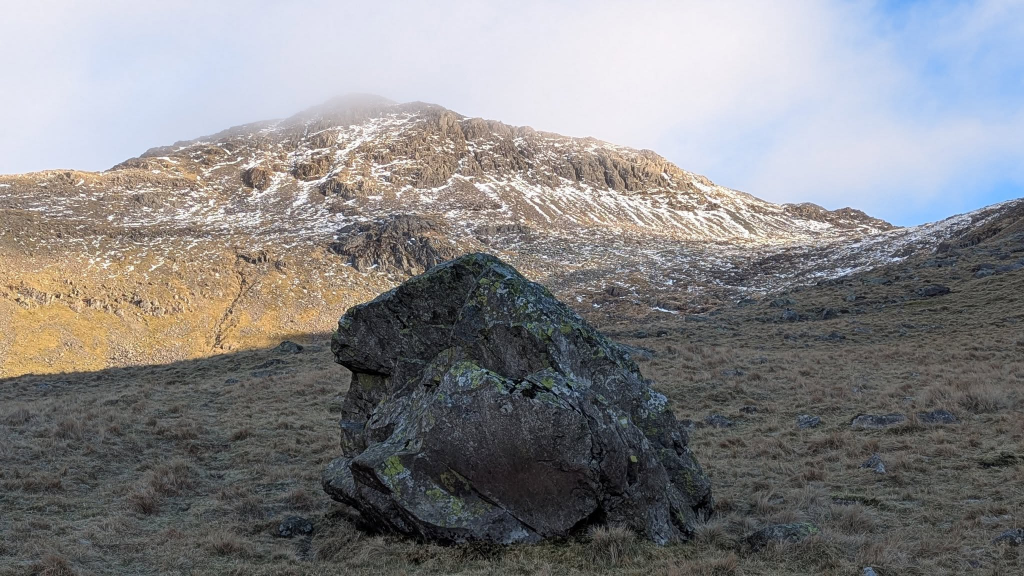
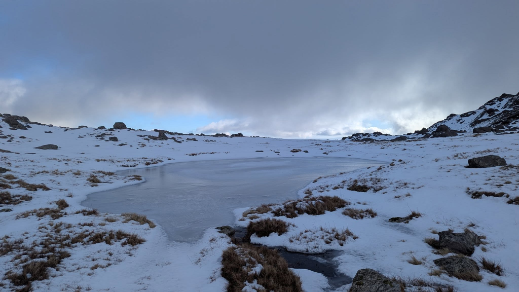
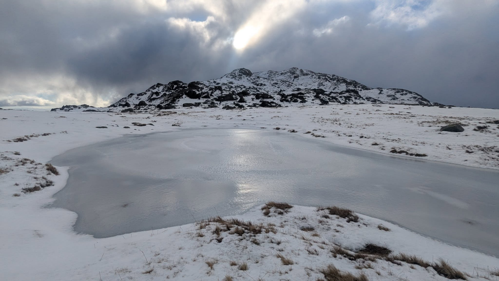
As we approach Cockley Beck in the car, Little Stand is ahead with our objective Crinkle Crags behind.Heading up Moasdale with Esk Pike peeking into view in the distanceAfter escaping the squelchy head of Moasdale, we walk along the Lingcove arm of upper Eskdale with Bowfell now in viewThe path was intermittent and then disappeared altogether in the upper reaches as we headed for Three Tarns between Bowfell and Crinkle CragsAt last, we have reached Three Tarns – away from the capitalisation of the name, the number of tarns can vary depending on conditions and at what point a puddle becomes a tarn.Our next target: the ridge of Crinkle CragsBrindley surveys the route aheadAfter gaining some more height, a look back to Bowfell over Three TarnsThere was no consensus from earlier walkers, and the footsteps they’d left, about the route to take along the ridge, so we combined elements of what looked sensible, what other people had done, and what the GPS suggested – plus a tiny amount of changing our minds in response to conditions (an important element in any hill walking, but particularly in snow).The Langdale Pikes beyond The TongueA lot easier going when you don’t weigh too much – the frozen snow surface always bore Brindley’s weight, but often not mine so it was rather harder goingOn top of Crinkle Crags (Long Top). About minus 14 with the wind chill.Starting the descentLooking down the Duddon Valley – effectively the reverse of the first photo of the day. (Oddly, there is no sign of the cluster of buildings at Dale Head farm from this angle, but the trees running down the fellside and halfway to the river are visible in this and the first photo.)Circumventing the Bad Step – this is the way normal walkers goLooking back at the Bad Step (centre) and the route we took around the sideLooking down Great LangdaleThe harder walking is over and we have a nice easy section as we head initially towards Pike O’Blisco on our route towards Red TarnThe cairn marks the point where the path bends gently to the right away from the summit of Great Knott and begins the slightly steeper descent towards the Red Tarn col.A last look at Great Knott, Crinkle Crags and BowfellRed Tarn as we head for Wrynose Pass, with Grey Friar on the right and Wetherlam on the left.The last 3.5km were nice and easy along the road into and then along Wrynose Bottom
Day 3
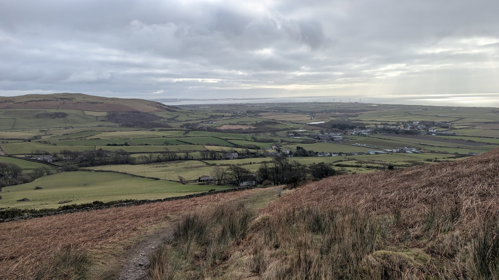
Brindley’s legs were quite stiff yesterday afternoon (though much improved by bedtime) so I just gave him a gentle 3km walk this morning on the beach, with a run later for me to the top of Black Combe (600 metres a.s.l.) – 68 minutes to the top and back isn’t going to win any races, but my hilliest run.
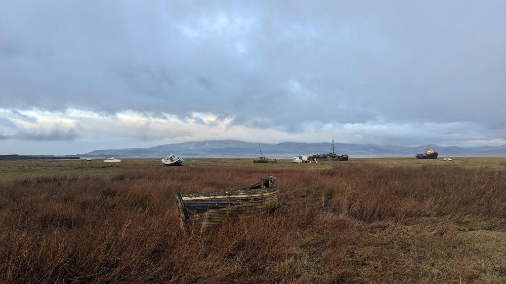
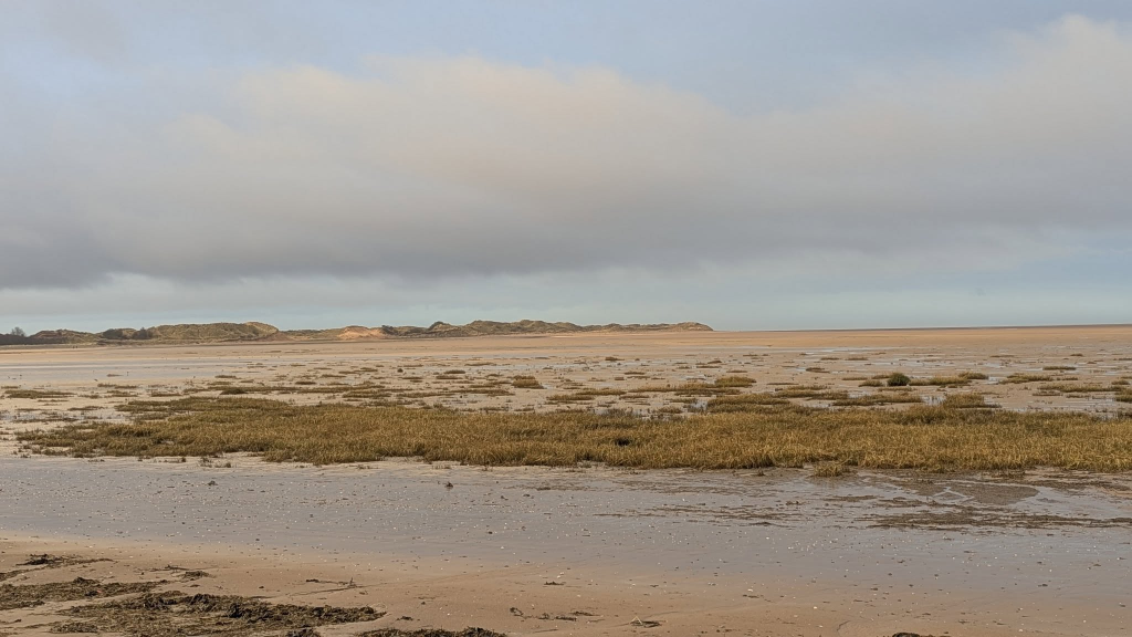
Looking across the Duddon from near Askham lifeboat station
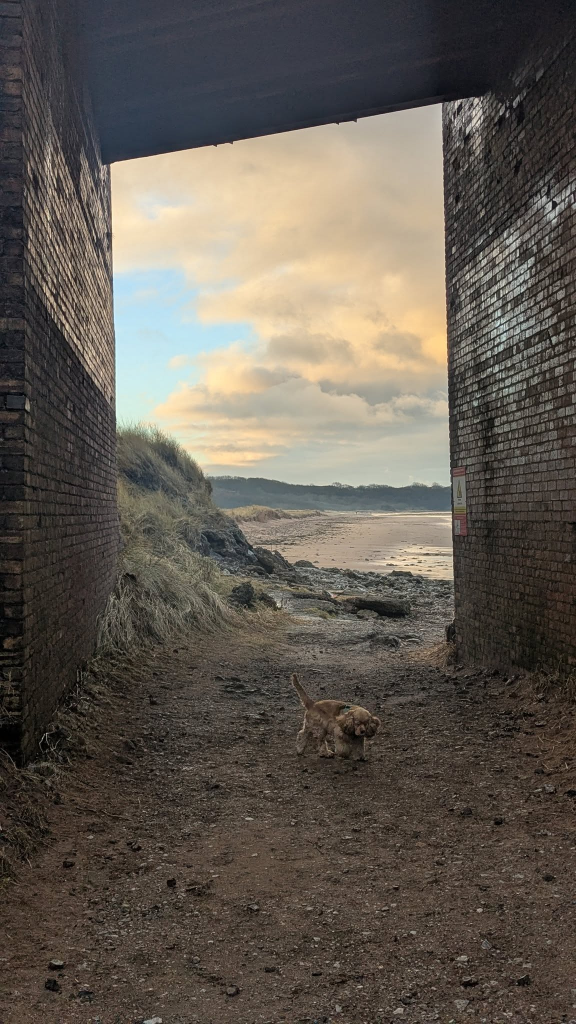
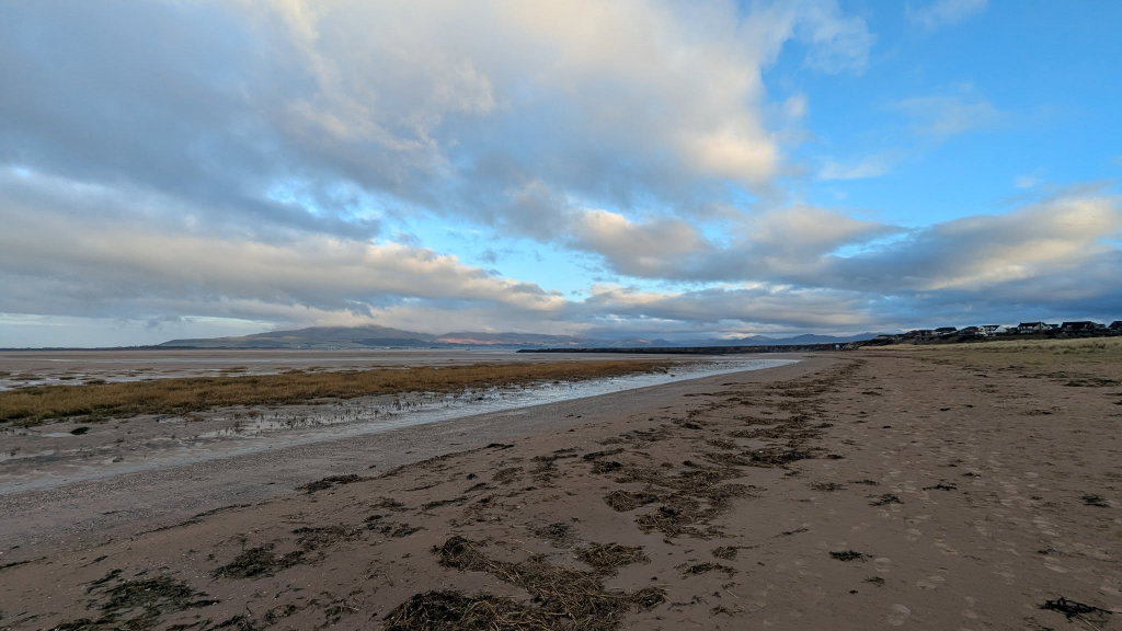
Heading under Askham Pier
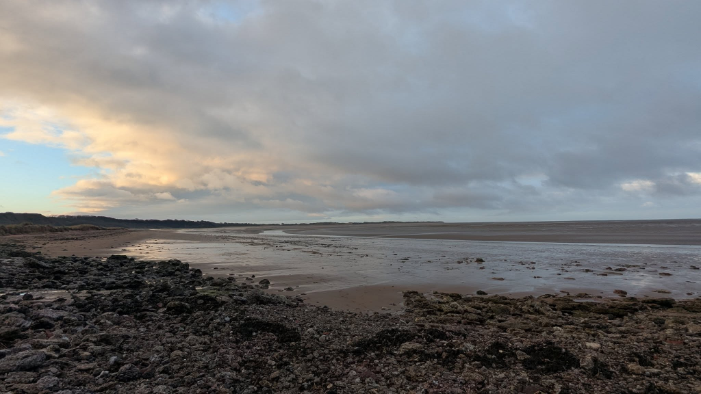
From the Pier, towards RoanheadSandscale HawsLater in the day, my run/walk up Black Combe from Whicham churchThe steepest bit over, but plenty of ascent still to doBack towards Millom and BarrowTop in the cloudsTrig point at 600 metres – time to turn round and descend rather more quickly than the ascent (though the steep bits at the bottom were still rather slow).
Day 4
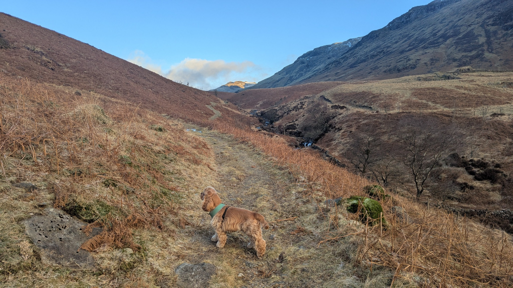
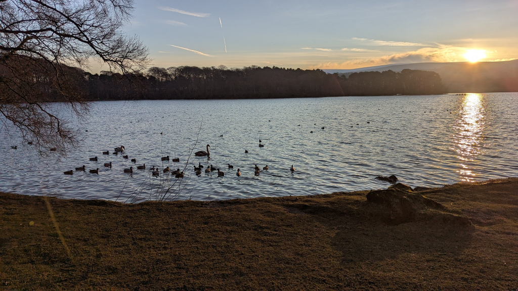
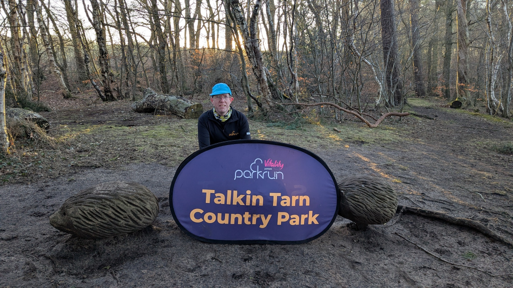
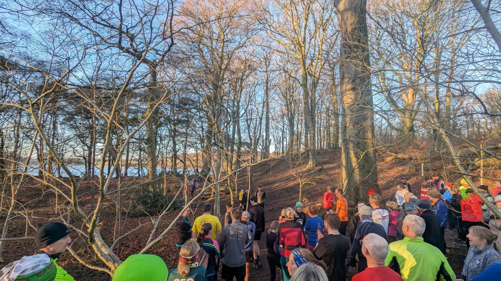
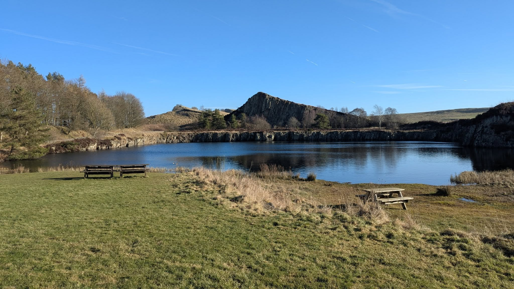
Today saw parkrun at Talkin Tarn Country Park (my 330th parkrun at my 220th location) before Brindley and I went for a walk along Hadrian’s Wall and back along the Vallum.
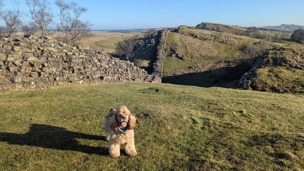
Talkin TarnReady for the start – it’s a lovely course but this start position in the woods with a narrow, twisty and sandy route out to the tarn-side path seems a strange one.Near the start of our walk along Hadrian’s Wall from near Greenhead eastwardsTurret 45B. Incidentally, you can see Brindley is wearing my parkrun tourist cow cowl – I stupidly forgot to put on his collar this morning (as he didn’t need it to get into the car). Fortunately I did have his lead.
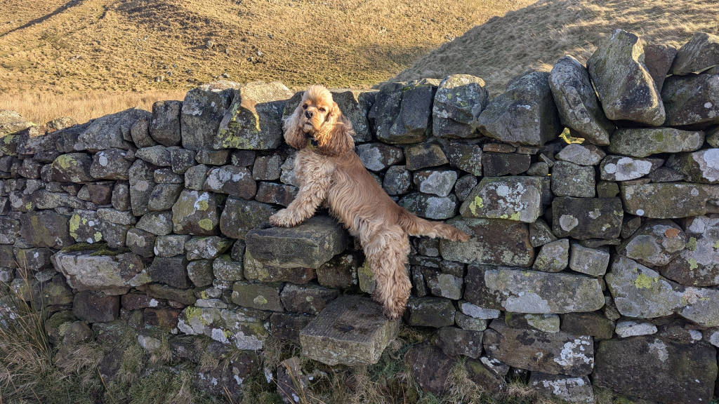
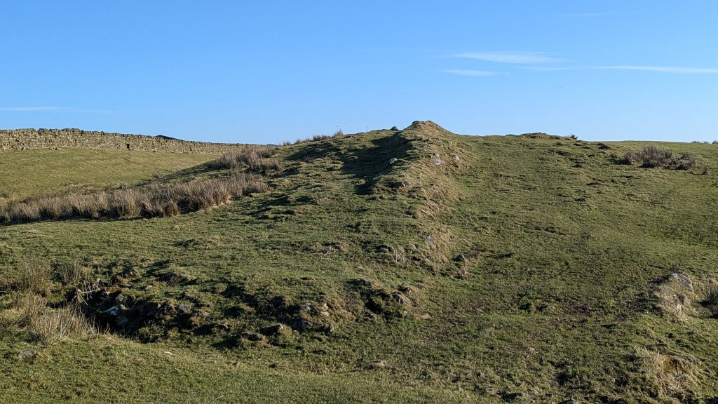
Brindley was very agile with the ladder stilesNo wall here as the crags formed a natural barrierBrindley was good at wall stiles, tooIt’s remarkable that this grassy trod is about 1900 years old, being the course of the Roman Military Way, the road immediately behind the Wall
Brindley again
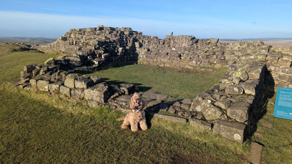
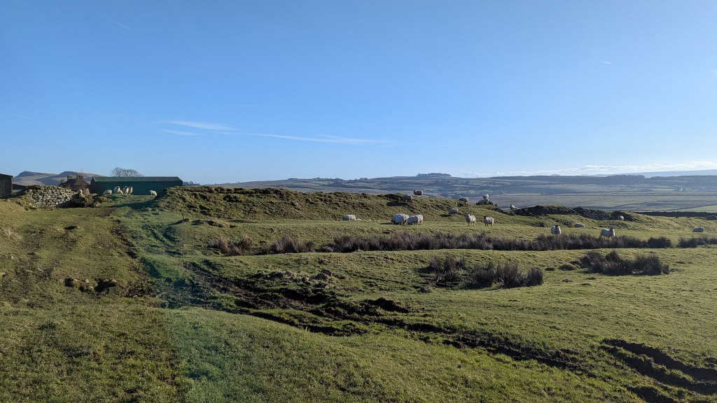
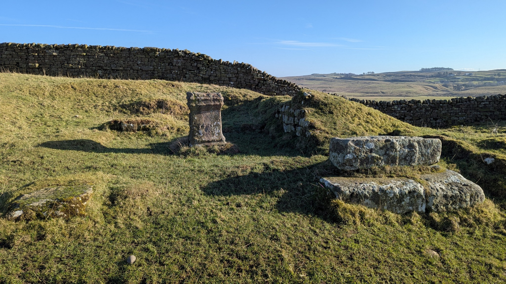
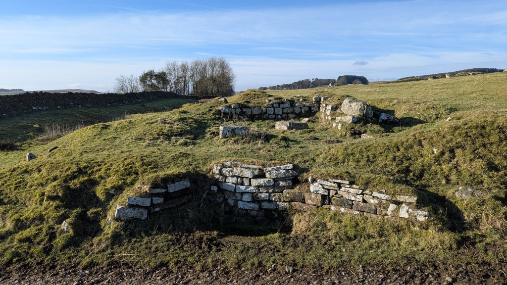
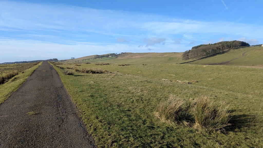
In places the wall is evident but not in such good condition as the first section we saw todaySheep grazing around Aesica fortOur turnaround point, previously visited from further east. Plenty of picnic benches, all unused today, for an early lunch.Back at Aesica fortThe fort was completed in 128 AD as the ninth fort on the Wall. Here are seen remnants of the south gate, with a Roman altarFrom here we took the route to the south to return along the VallumThe road (becoming a byway) runs along the Vallum earthworks.


 by
by